facebook
Image showing that the PDF download is in progress... PDF download in progress

Please wait...

Image showing a pink decorative paint splat
Image showing a green decorative paint splat

NOTE: This adventure is in Mapleton National Park for current Queensland Parks and Wildlife Service parks information, maps and essential park alerts click here

reviews buttonReviews view map buttonMap
view 3d map button3D Map
directions take me there buttonDirections
Save
PDF
Gpx File

Mapleton National Park: Bonyee Walk

Mapleton National Park: Bonyee Walk
Gheerulla
walking icon walking icon black
Trail type
difficulty icon
Skill Level
0.5km
Length
direction icon direction icon black
Circuit

A relaxing place to break your drive and take a short stroll through a green and varied circuit, ideal for children.

SUITABILITY
Suitable for walkers or all ages and abilities.

HIGHLIGHT
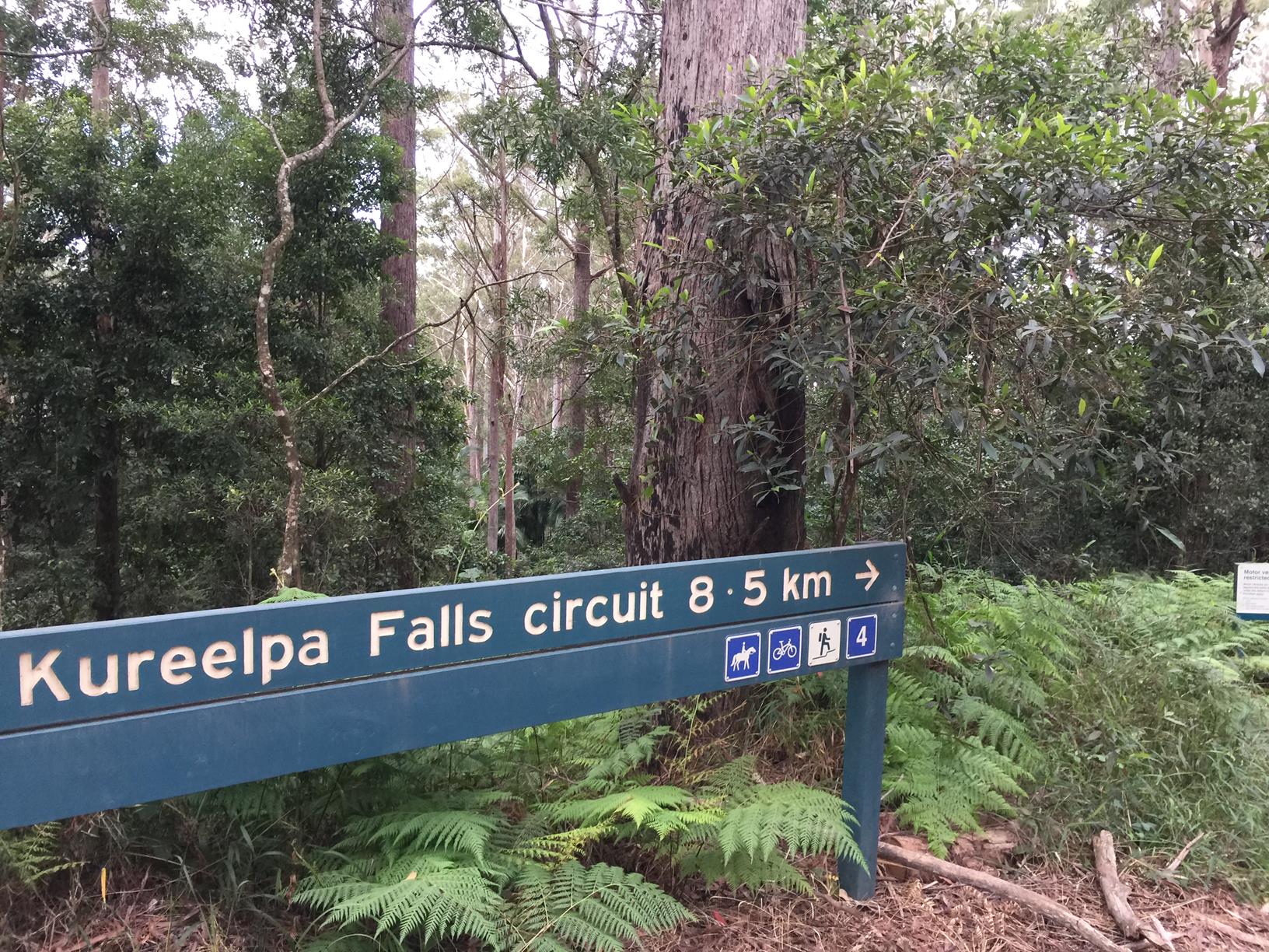
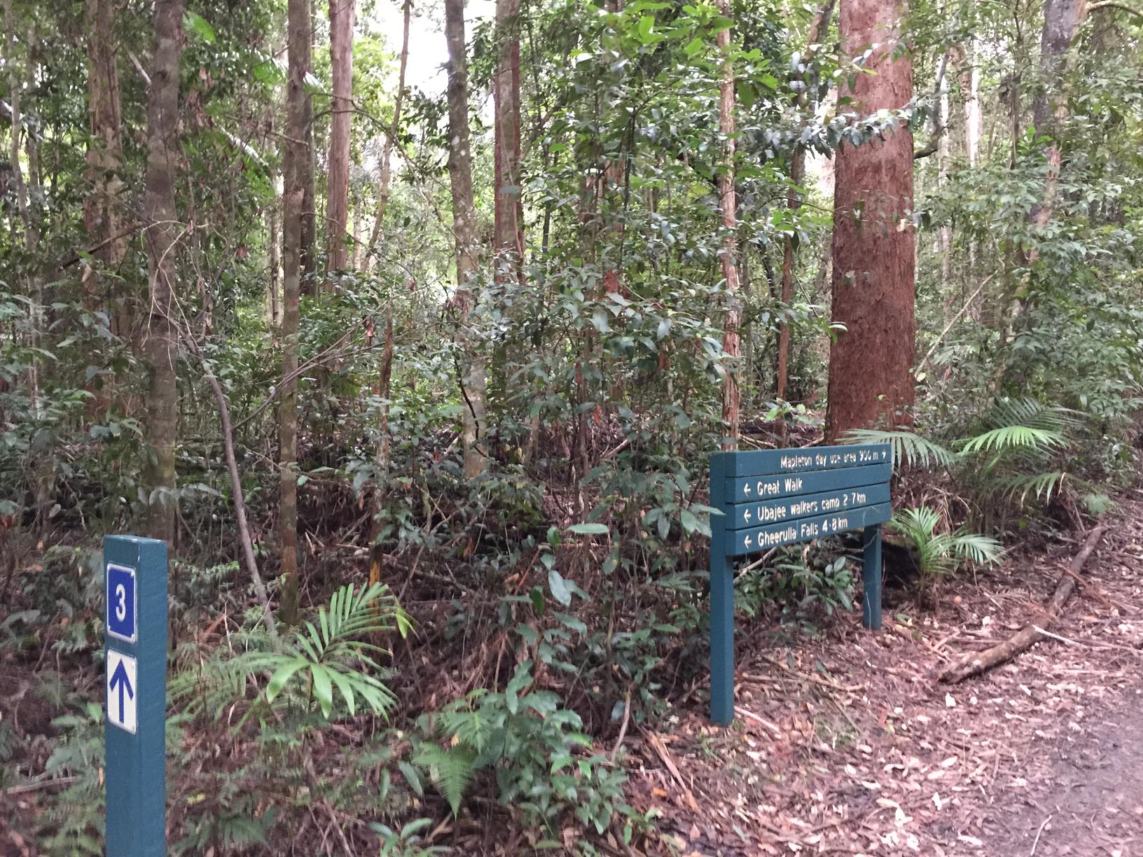
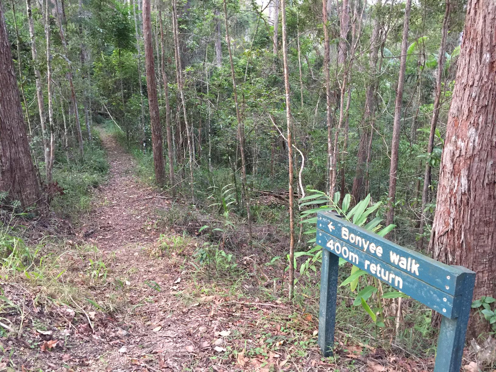
Less a destination in its own right, rather something to do on the way. Named after the local Kabi Kabi language for bunya, this short, gently descending track features a massive bunya pine, a variety of large eucalypts, as well as a sub-tropical rainforest with lots of ferns, and a picabeen palm grove. It’s a pretty spot and a great track for small children. Look up at the big bunyas, look down for evidence of their fallen cones. And when you get back to your car, pop across the road to check out the two large grey gums – they are beautiful specimens too.

AFTERWARDS
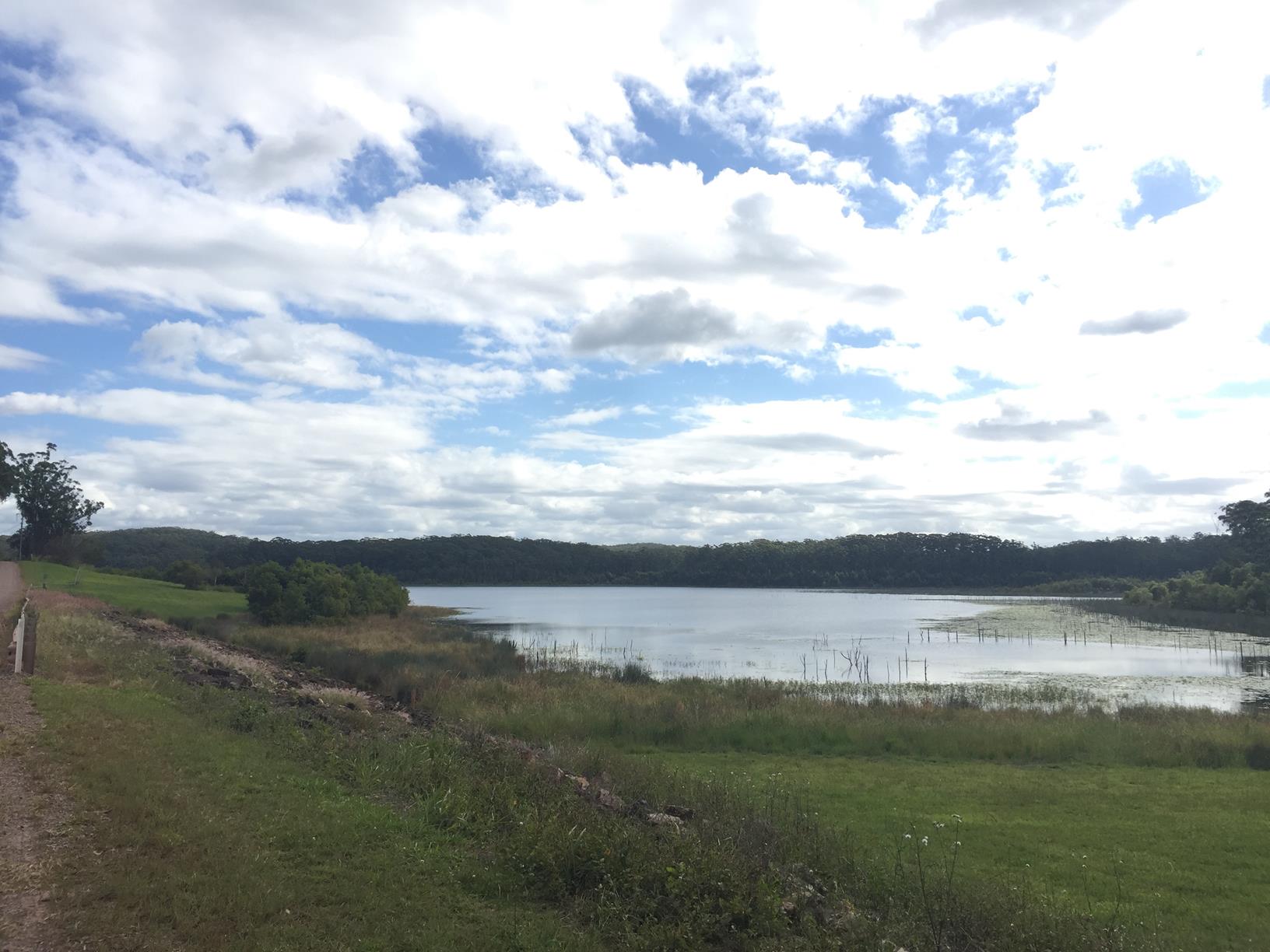
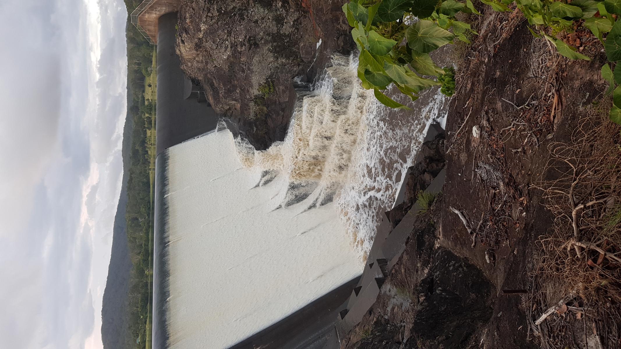
While you are in the area, head to the Cooloolabin Dam. There is a Day Use Area with other short walks to explore and enjoy..

HOW TO GET THERE
To the starting point: There are 2 ways to get to this walk:

1) Take the Yandina exit off the M1 and head west through the first round about. At the second roundabout turn left into Fleming Street. At the traffic lights, cross over Farrell Street and you are on Old Gympie Road, follow this to Cooloolabin Road. Keep driving along Cooloolabin Road until you see Cooloolabin Dam. Stay on the road as it veers to the left (don’t go down Buckby Road). Go past the day parking/picnic area on your right and keep driving to the end of the road where at a T-junction you meet Mapleton Forest Road. Turn left and the walk starts about 1 km along on your left. It’s about 14 km from Yandina.

2) Alternatively, from Mapleton township take the Obi Obi Road and turn right into Delicia Road. Shortly thereafter turn right into Mapleton Forest Road, which is a dirt road recomended for 4WD vehicles. Follow this road for about 9.5 km. The Bonyee walk is on your right, about 1 km before Cooloolabin Road.

To the end point: The end point is the same as the starting point.

glossary button
Glossary
  • Icon showing this activity is suitable for wheelchairsSuitable for wheelchairs
  • Icon showing this activity is suitable for walkingSuitable for walking
  • Icon showing this activity is suitable for recreational cyclingSuitable for recreational cycling
  • Icon showing this activity is suitable for mountain bikingSuitable for mountain biking
  • Icon showing this activity is suitable for horse ridingSuitable for horse riding
  • Icon showing this activity is suitable for kayakingSuitable for kayaking
  • Icon showing this activity has drinking water availableDrinking water available
  • Icon showing this activity does not have drinking water availableNo drinking water available
  • Icon showing this activity has a barbeque on siteBarbeque on site
  • Icon showing this activity has a picnic table on sitePicnic table on site
  • Icon showing this activity has toilets on siteToilets on site
  • Icon showing fires are permitted at this activityFires permitted
  • Icon showing fires are prohibited at this activityFires prohibited
  • Icon showing camping is permitted at this activityCamping permitted
  • Icon showing camping is prohibited at this activityCamping prohibited
  • Suitable for walking Suitable for walking black lines Suitable for walking
  • No drinking water available No drinking water available No drinking water available
  • Fires prohibited Fires prohibited Fires prohibited
  • Camping prohibited Camping prohibited Camping prohibited
Write a review

Review Date: 14/11/2018

If you've ever wondered just how big a bunya pine can grow then this is the walk for you! It really has to be seen to be believed. It's only a short walk so if you have time include some of the other nearby walks as well and make a day of it.

Reviewed By: Michael

hazard icon

IN AN EMERGENCY DIAL '000'.

Always Adventure Safely!

  • Always follow any local signage, it contains key information and conditions can change at any time.
  • Use the trails with consideration for your abilities, be prepared for the adventure ahead:
    • Be aware of the weather conditions, found here: http://www.bom.gov.au/qld/.
    • Always wear appropriate clothing, focus on good footwear.
    • Always bring more water than you think you will need.
    • Be Sun Safe!
    • Always let someone know where you are going that isn’t going with you.
  • Just getting started try this site for good useful information: https://www.trailhiking.com.au/hike-safety/
  • Sunshine Coast Council does it’s best to maintain current information but things can change so always be aware that a trail may not be as listed in this guide, and report and issues via our feedback link.

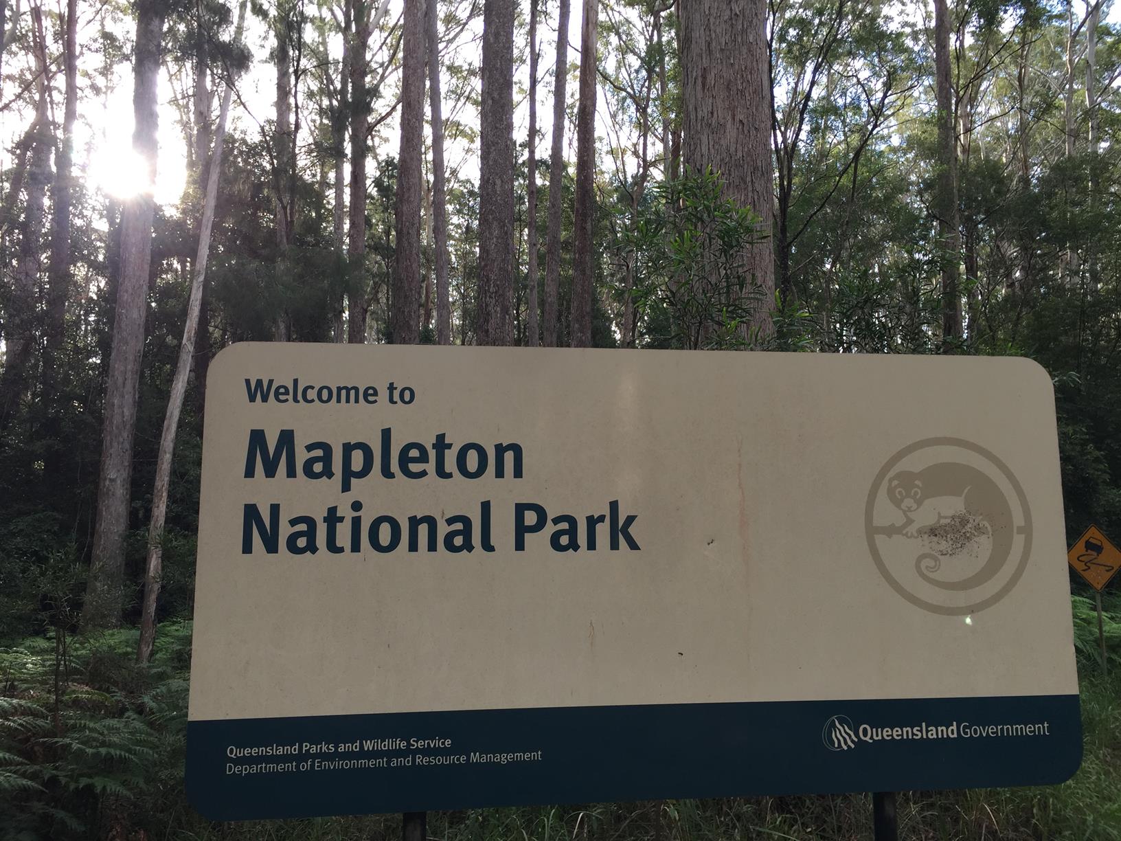
Qld Parks and Wildlife Service

National Parks, Conservation Parks and some State Forests are managed by Queensland Parks and Wildlife Service. Contact details are: https://www.des.qld.gov.au/contactus/

For current information on trail conditions and alerts go to https://parks.des.qld.gov.au/park-alerts/#sunshinecoast

If you think something on this web site needs to change please let us know via: adventure@sunshinecoast.qld.gov.au

Nearby Trails

Trail Image for Cooloolabin Dam: Day Use Short Walk
Intermediate

Cooloolabin Dam: Day Use Short Walk

Cooloolabin
walking icon horse riding icon
Trail type
difficulty icon
Skill Level

3.1km

Length
direction icon
Circuit
Trail Image for Mapleton National Park: Kureelpa Falls Circuit
Difficult

Mapleton National Park: Kureelpa Falls Circuit

Mapelton
walking icon mountain biking icon horse riding icon
Trail type
difficulty icon
Skill Level

8.7km

Length
direction icon
Circuit
Trail Image for Mapleton National Park: Piccabeen Circuit
Difficult

Mapleton National Park: Piccabeen Circuit

Gheerulla
walking icon mountain biking icon horse riding icon
Trail type
difficulty icon
Skill Level

7.6km

Length
direction icon
Circuit
Trail Image for Wappa Dam and Falls
Difficult

Wappa Dam and Falls

Kiamba
walking icon
Trail type
difficulty icon
Skill Level

1.1km

Length
direction icon
One-way
Trail Image for Mapleton National Park: Pilularis Forest Walk
Intermediate

Mapleton National Park: Pilularis Forest Walk

Mapelton
walking icon
Trail type
difficulty icon
Skill Level

0.5km

Length
direction icon
Circuit

Share this trail

This action requires a login.
To continue, click on Login/Signup below.

Photo uploaded successfully, thank you.

Feedback / Suggest an Adventure

If you have any feedback on the site or any of the trails, please drop us a short email.

Have we missed something? Do you have an adventure to suggest? Fill in the suggestion form to let us know about it.