facebook
Image showing that the PDF download is in progress... PDF download in progress

Please wait...

Image showing a pink decorative paint splat
Image showing a green decorative paint splat
upload photo button
reviews buttonReviews view map buttonMap
view 3d map button3D Map
directions take me there buttonDirections
Save
PDF
Gpx File

Road Cycle Route: SCC Big Loop

Road Cycle Route: SCC Big Loop
Alexandra Headland
walking icon walking icon black cycling icon cycling icon black
Trail type
difficulty icon
Skill Level
180.6km
Length
direction icon direction icon black
Circuit

Not for the faint hearted, this extra challenging route explores the best of the coast and hinterland.

SUITABILITY
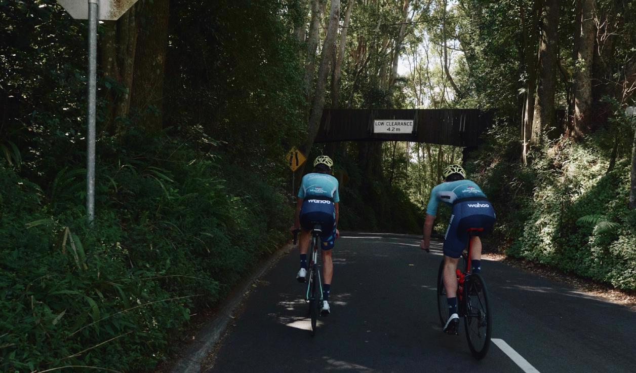
Suitable for experienced road cyclists only with advanced skills riding in traffic and on rural roads with above average fitness. . Some road speeds are >60km/hr. Roads can be narrow and winding and most have narrow or no rideable shoulders. Advanced – includes 2000m of climbing.
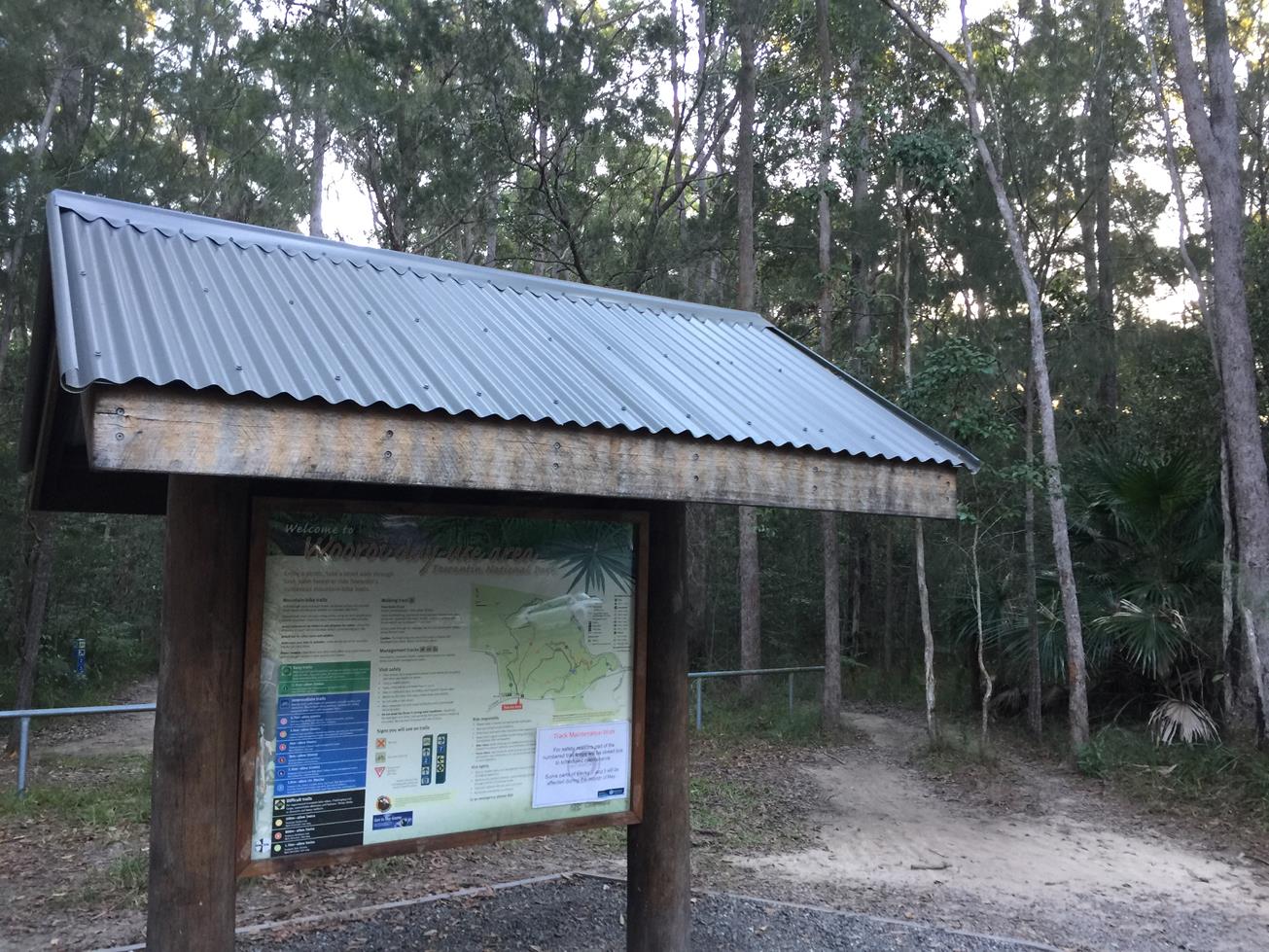
HIGHLIGHTS
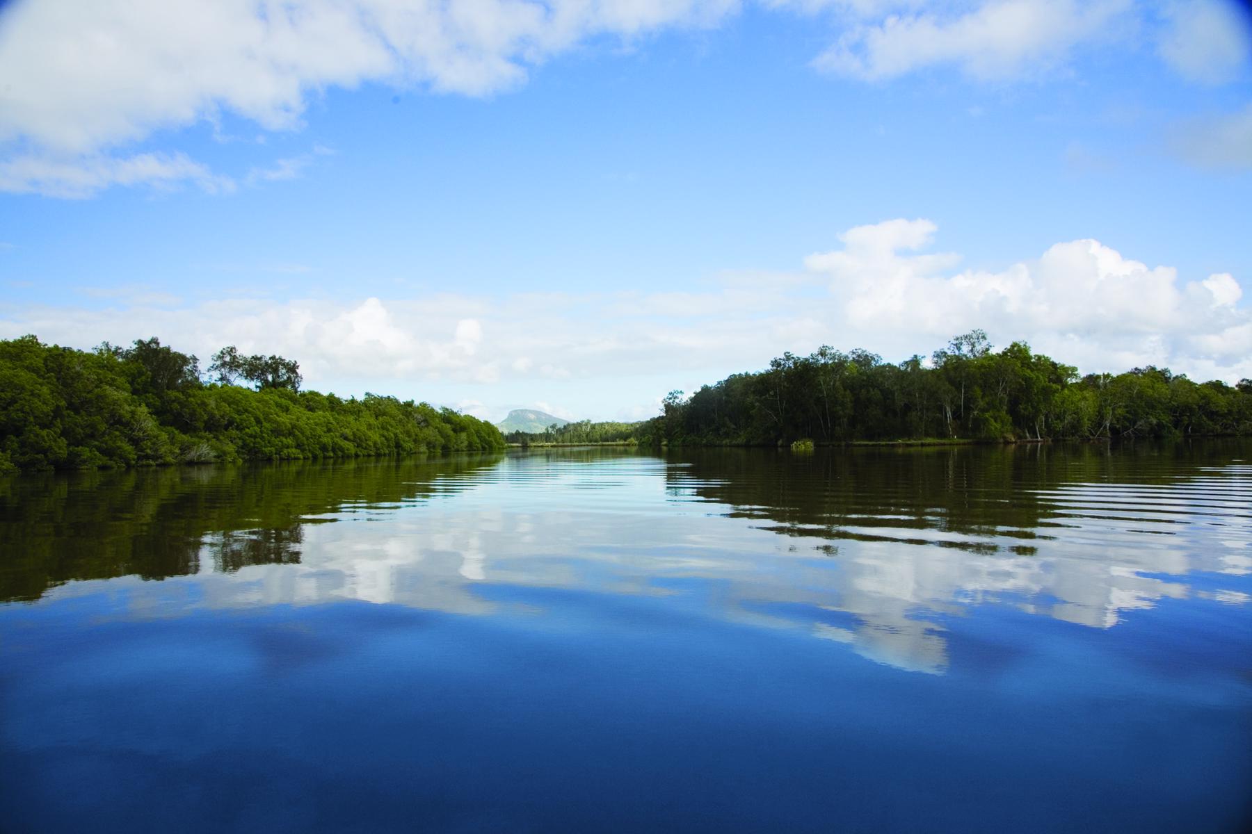
Enjoy the spectacular coastal views on the undulating hills as you follow the coastline north all the way from Mooloolaba to Sunshine Beach. Head west through to Noosaville then leave the urban areas for a challenging climb up Gyndier Drive. Take a detour to admire Lake McDonald on your way to Cooroy where you can stop for a bite to eat and prepare for a scenic undulating climb through to Belli Park. Travel the quiet, spectacular roads to Kenilworth Bakery for a coffee and a bite. Then gear up for the tough Obi Obi climb to Montville. Suggest a good gear range with low gearing, this is a very steep climb. Wander the shops while you grab a coffee before you descend down from Montville back into the coast. Relax at the beach when you get back – you absolutely deserve it!
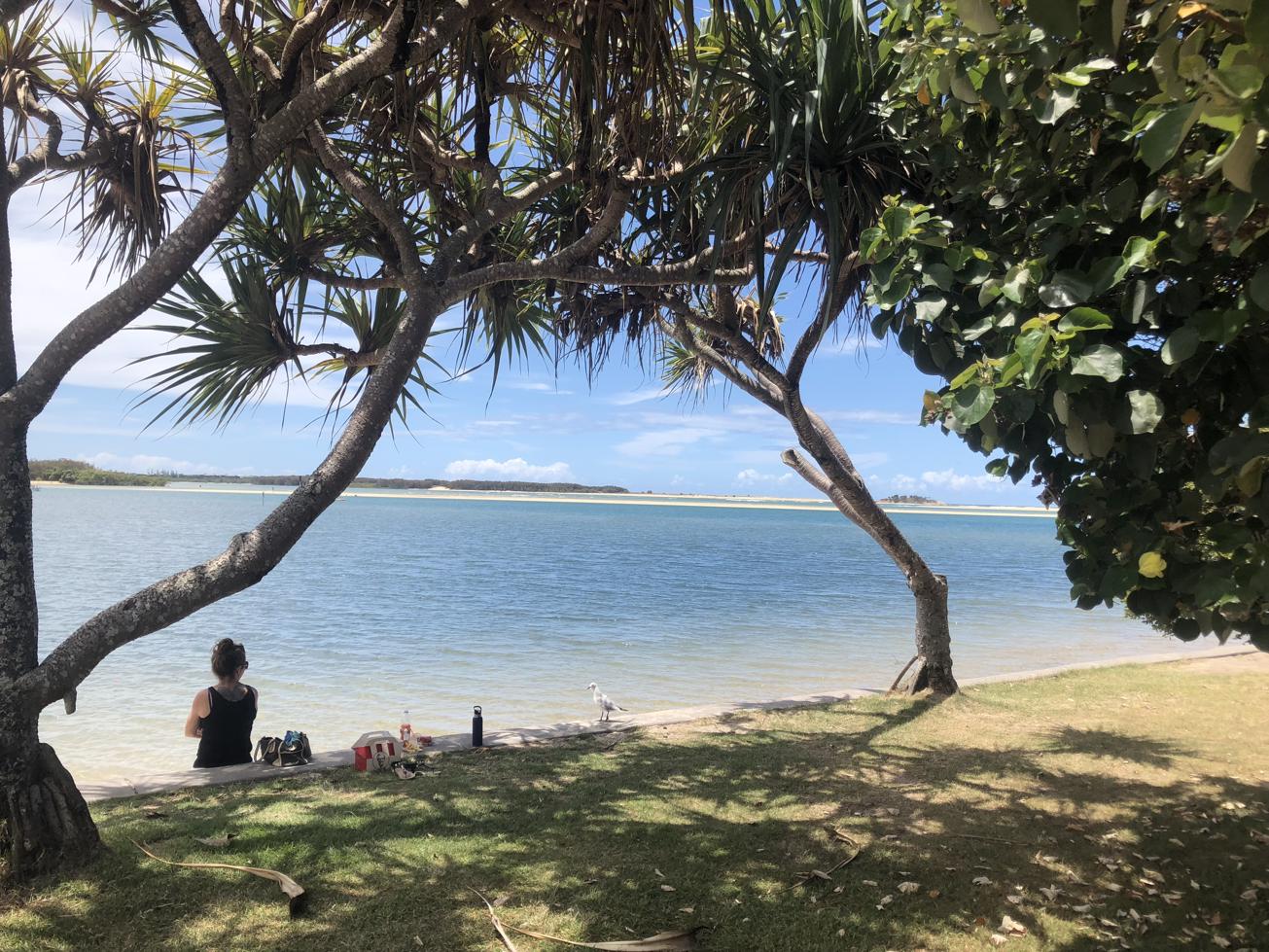
AFTERWARDS
Revive your legs with a swim at Mooloolaba Beach then a big lunch at one of the many cafes and restaurants on the esplanade.

HOW TO GET THERE
Starts and ends at Mooloolaba near the intersection of Buderim Ave and Alexandra Pde. Parking is available.

IMPORTANT: On-road cyclists should always ride with caution and be aware that conditions can change at any time. Cyclists using rural roads may encounter heavy vehicles and should be aware that roads can be narrow and undulating with varying shoulder widths. Notify someone of your intended route and be prepared with water, food and sun protection.

glossary button
Glossary
  • Icon showing this activity is suitable for wheelchairsSuitable for wheelchairs
  • Icon showing this activity is suitable for walkingSuitable for walking
  • Icon showing this activity is suitable for recreational cyclingSuitable for recreational cycling
  • Icon showing this activity is suitable for mountain bikingSuitable for mountain biking
  • Icon showing this activity is suitable for horse ridingSuitable for horse riding
  • Icon showing this activity is suitable for kayakingSuitable for kayaking
  • Icon showing this activity has drinking water availableDrinking water available
  • Icon showing this activity does not have drinking water availableNo drinking water available
  • Icon showing this activity has a barbeque on siteBarbeque on site
  • Icon showing this activity has a picnic table on sitePicnic table on site
  • Icon showing this activity has toilets on siteToilets on site
  • Icon showing fires are permitted at this activityFires permitted
  • Icon showing fires are prohibited at this activityFires prohibited
  • Icon showing camping is permitted at this activityCamping permitted
  • Icon showing camping is prohibited at this activityCamping prohibited
  • Suitable for walking Suitable for walking black lines Suitable for walking
  • Suitable for recreational cycling Suitable for recreational cycling Suitable for recreational cycling
  • No drinking water available No drinking water available No drinking water available
  • Fires prohibited Fires prohibited Fires prohibited
  • Camping prohibited Camping prohibited Camping prohibited
Write a review

Be the first to review this trail.

hazard icon

IN AN EMERGENCY DIAL '000'.

Always Adventure Safely!

  • Always follow any local signage, it contains key information and conditions can change at any time.
  • Use the trails with consideration for your abilities, be prepared for the adventure ahead:
    • Be aware of the weather conditions, found here: http://www.bom.gov.au/qld/.
    • Always wear appropriate clothing, focus on good footwear.
    • Always bring more water than you think you will need.
    • Be Sun Safe!
    • Always let someone know where you are going that isn’t going with you.
  • Just getting started try this site for good useful information: https://www.trailhiking.com.au/hike-safety/
  • Sunshine Coast Council does it’s best to maintain current information but things can change so always be aware that a trail may not be as listed in this guide, and report and issues via our feedback link.

Nearby Trails

Trail Image for Coolum to Emu Mountain
Difficult

Coolum to Emu Mountain

Coolum Beach
walking icon
Trail type
difficulty icon
Skill Level

4.4km

Length
direction icon
One-way
Trail Image for Weyba Creek Cycle Loop from Girraween grounds
Easy

Weyba Creek Cycle Loop from Girraween grounds

NOOSA HEADS
walking icon cycling icon
Trail type
difficulty icon
Skill Level

7.3km

Length
direction icon
Circuit
Trail Image for Tewantin National Park: Wooroi Introduction Loop
Intermediate

Tewantin National Park: Wooroi Introduction Loop

TINBEERWAH
mountain biking icon
Trail type
difficulty icon
Skill Level

11.5km

Length
direction icon
Circuit
Trail Image for Coastal Pathway: Maroochydore to Alex Surf Club
Easy

Coastal Pathway: Maroochydore to Alex Surf Club

Alexandra Headland
walking icon cycling icon
Trail type
difficulty icon
Skill Level

3.6km

Length
direction icon
One-way
Trail Image for Road Cycle Route: Hinterland Loop
Difficult

Road Cycle Route: Hinterland Loop

Balmoral Ridge
walking icon cycling icon
Trail type
difficulty icon
Skill Level

95.8km

Length
direction icon
Circuit

Share this trail

This action requires a login.
To continue, click on Login/Signup below.

Photo uploaded successfully, thank you.

Feedback / Suggest an Adventure

If you have any feedback on the site or any of the trails, please drop us a short email.

Have we missed something? Do you have an adventure to suggest? Fill in the suggestion form to let us know about it.