
Mooloolah River National Park: Mooloolah River Section
A wetlands park that is a great place to view coastal plants and animals, especially in drier, cooler months.
Suitability
Suitable for walkers, especially bird lovers. Dogs are not permitted
Highlights
There are 4 trails through the Park – though note: none take you to the Mooloolah River. This marked route follows the Boronia, Aemula (banksia) and Littoralis (she-oak) Trails. This is a half out and back and half circuit loop with interesting glimpses toward the coast and the river wetlands.
This trail is an excellent example of the wet heath coastal habitat. During flower season it is a walk not to be missed. You’ll get to see yellow banksia flowers and bush peas and if you are super observant well-camouflaged rainbow bee-eaters with intense green orange and black features. You should also get to see and smell the fragrant boronia shrub.
There is a fifth trail (Trail 5) (accessible close to the Motorway) that is a sealed path suitable for recreational cyclists, wheelchairs and prams that follows the northern boundary. This sealed trail is the only one of the trails that provides cycle access in this national park.
This park is best explored during the drier winter months as tracks can be wet and a little boggy during summer and rainy periods. It’s also best visited early morning or late afternoon when wildlife is most active.
Afterwards
Head to Brightwater where there is a great hotel plus wonderful parks (BBQ areas) and pathways around the canals.
How to get there
To the starting point: Take the Sunshine Coast University exit off the Sunshine Coast motorway. Coming from the M1 the overpass (Dixon Road) will take you directly onto Claymore Road. Coming from the Coast after you exit turn left into Sippy Downs Drive and left again at the roundabout and at the T Junction turn right into Claymore Road.
Follow this road and after all the parkland on your left, take the first turn on your left, which is a continuation of Claymore Road. The walk starts at the end of the bitumen road where there is park signage.
To the end point: The end point is the same as your starting point.
About this place
- Suitable for walking
- Walking track grade
- Grade 3
- A formed track with some obstacles, up to 20km. Expect short steep sections and plenty of steps. Some walking experience helps.
Graded on the Queensland Parks walking track scale. Walk with care(opens in a new tab)
- Managed by
- Queensland Parks and Wildlife Service
- Mooloolah River National Park(opens in a new tab)
To report damage, a hazard or another problem with the trail:
Safety
Hazards on this trail
Note In wet conditions this trail can have alot of issues and it floods at times. I'd also advise this as a winter walk as mossies can be an issue.
Check park alerts before you go
Mooloolah River National Park is managed by Queensland Parks and Wildlife Service. Check their park alerts for closures and track conditions. Park alerts in the Sunshine Coast region(opens in a new tab)
In an emergency, call 000. Always adventure safely!
- Always follow any local signage, it contains key information and conditions can change at any time.
- Use the trails with consideration for your abilities, be prepared for the adventure ahead:
- Be aware of the weather conditions, found here: Bureau of Meteorology — Queensland(opens in a new tab)
- Always wear appropriate clothing, focus on good footwear.
- Always bring more water than you think you will need.
- Be Sun Safe!
- Always let someone know where you are going that isn't going with you.
- Just getting started try this site for good useful information: Trail Hiking Australia — hike safety(opens in a new tab)
- Sunshine Coast Council does its best to keep this information current, but things change, so be aware that a trail may not be as listed here.
I couldn't gain access as there is no way for a wheelchair user to get past the gate. I recommend a KISS gate and that the trails directory list wheelchair accessible trails.
Nearby trails

- Walking
- Cycling
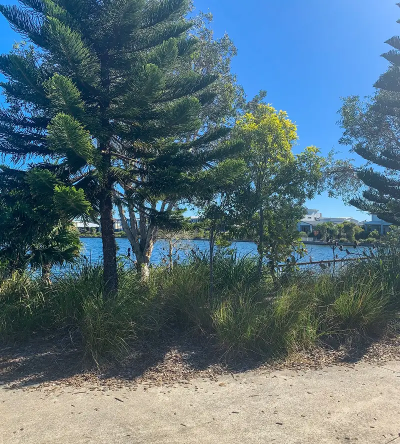
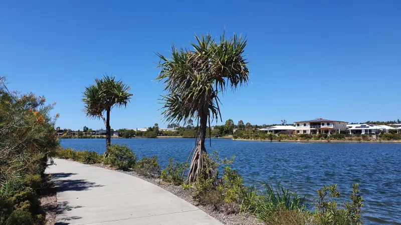
Brightwater Loop the Lake
Brightwater
Easy3.1 kmCircuit
- Walking
- Cycling
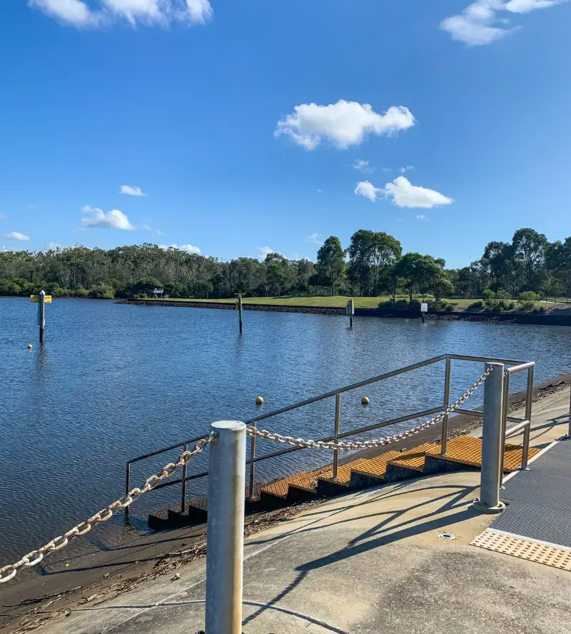
Parrearra Waterfront Loop
Parrearra
Easy3.7 kmCircuit
4
Your Adventure Starts Here
Save favourites, plan trips, earn badges and share your trail photos with the community — free, in seconds.
Always free · Sign up in seconds
Printed from Adventure Sunshine Coast · https://adventure.sunshinecoast.qld.gov.au/trails/18820/mooloolah-river-national-park-mooloolah-river-section
Always check current conditions and closures before you set out.