
Tewantin National Park: Hovea Circuit
Discover the trails of Tewantin National Park’s Wooroi Day use area, a favourite with mountain bikers and other recreational adventurers. Don't have a Mountain Bike? Don't worry. You can hire bikes from various cycling shops around the Noosa area.
Suitability
Aside from the exclusive Palm Gove Circuit, this is the only other nominated walking trail in the park – a shared pathway for recreational cyclists, mountain bikers and even horse riders. This flat trail is also perfect for little kids learning to ride or for those who don't have a serious mountain bike. Those in wheelchairs could likely handle this as well.
For mountain bikers this will give you a taste of what’s on offer with the 30km of purpose built mountain bike trails at Wooroi Day Use area. In fact this path leads you onto some of those trails.
Highlights
This is a flat and wide loop trail, ideal for easy exploration and connects us with and bike trails throughout Tewantin. Walkers and mountain bikers and even horses can share this path. Be mindful there is a gravel surface in parts that can be slippery.
It’s a pleasant trail through greenery, though there is more interesting foliage – open eucalypt forest, rainforest gullies and remnant heath areas – to be had on other rides in the area.
Despite the activity on the trail in quiet moments you may be able to spot honey eaters, Wompoo Doves, Spangled Drangos, Honey Eaters and a variety of butterflies.
Afterwards
For Mountain Bikers: There are 10 trails in this area all up for you to explore. Most are suitable for beginner riders and people with moderate fitness levels.
A few trails can be enjoyed by recreational cyclists and horse riders (perimeter management trails that are sign posted). Recreational cyclists typically enjoy riding up and down Gyndier Drive, which used to be the windy route from Cooroy to the coast down (or up) the mountain range.
Some walkers and joggers can also roam widely – at their own risk – though pedestrians and mountain bikers need to be on the look-out for each other. For walkers there are better and more secluded walking trails available in the neighbouring Tewantin National Park on the Tinbeerwah Mountain side. Head to Mount Tinbeerwah and climb to the look-out. If you want to walk in Wooroi Day use area you are best to avoid the difficult trails and on the intermediate grades you are best to walk uphill.
In the carpark at Wooroi Day use there is a large pleasant picnic area surrounded by bloodwood trees and coastal she-oaks with tables and taps but no toilets. Nearest toilets are at the Tinbeerwah Rural Fire Station at the top of the range. (Corner of Sunrise Road and Gyndier Drive.)
How to get there
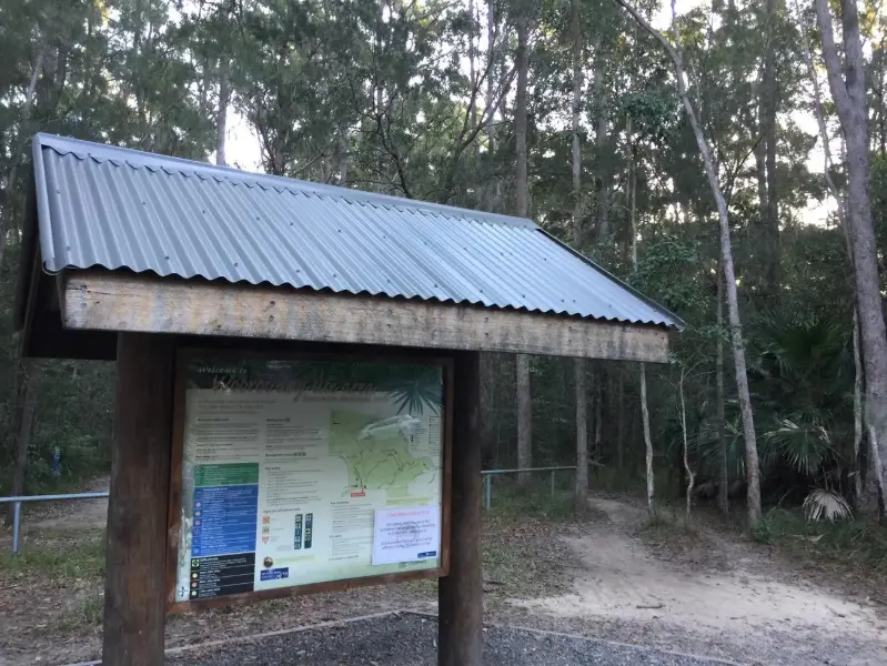
To the starting point: From Tewantin or Noosaville head to the Cooroy Noosa Road. Just passed Beckman’s Road there is a bus shelter. Turn left immediately into the Wooroi Day Use Area, drive along about 100 metres till you get to the picnic area where there are plenty of parks available. There is an information board map of the many trails here catering for all different abilities and terrains.
To the end point: Back in the car park where you started.
About this place
- Suitable for mountain biking
- Dogs prohibited
- Drinking water available
- Picnic table on site
- Walking track grade
- Grade 2
- A formed track with gentle hills and the occasional step. Clearly signposted, and no walking experience needed.
Graded on the Queensland Parks walking track scale. Walk with care(opens in a new tab)
- Managed by
- Queensland Parks and Wildlife Service
- Tewantin National Park(opens in a new tab)
To report damage, a hazard or another problem with the trail:
Safety
Hazards on this trail
gravel surface can be slippery
Check park alerts before you go
Tewantin National Park is managed by Queensland Parks and Wildlife Service. Check their park alerts for closures and track conditions. Park alerts in the Sunshine Coast region(opens in a new tab)
In an emergency, call 000. Always adventure safely!
- Always follow any local signage, it contains key information and conditions can change at any time.
- Use the trails with consideration for your abilities, be prepared for the adventure ahead:
- Be aware of the weather conditions, found here: Bureau of Meteorology — Queensland(opens in a new tab)
- Always wear appropriate clothing, focus on good footwear.
- Always bring more water than you think you will need.
- Be Sun Safe!
- Always let someone know where you are going that isn't going with you.
- Just getting started try this site for good useful information: Trail Hiking Australia — hike safety(opens in a new tab)
- Sunshine Coast Council does its best to keep this information current, but things change, so be aware that a trail may not be as listed here.
Reviews
No reviews yet. Be the first to share your experience of this trail.
Nearby trails

- Walking
- Cycling
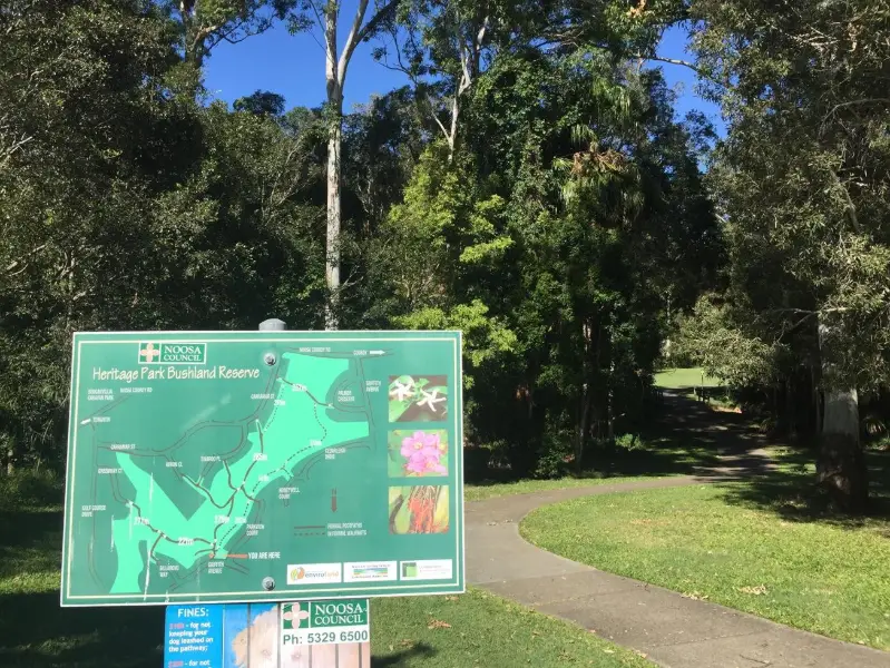
Heritage Park Walk
TEWANTIN
Easy2.0 kmCircuit
- Walking
- Cycling
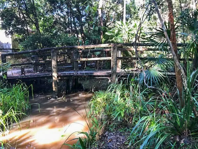
Tewantin: Cranks Creek Trail
Easy2.1 kmCircuit
Your Adventure Starts Here
Save favourites, plan trips, earn badges and share your trail photos with the community — free, in seconds.
Always free · Sign up in seconds
Printed from Adventure Sunshine Coast · https://adventure.sunshinecoast.qld.gov.au/trails/29629/tewantin-national-park-hovea-circuit
Always check current conditions and closures before you set out.