
No photos of Conondale National Park: Booloumba Creek to Mount Allan Walk yet
Been here? Be the first to share one from your adventure.
Conondale National Park: Booloumba Creek to Mount Allan Walk
Enjoy the rewards and mountainous views that come from this remote summit.
Suitability
Suitable for walkers with some experience.
Highlights
From the Booloumba Creek day use area it is a steep and taxing climb for 5 km and a few hours to the Mount Allan summit. Here you’ll find a 9.6 m fire tower at the top of Mount Allan, where you can get up a few more steps for fantastic views of the ranges which rise even further to the west, and the Mary Valley far below to the east.
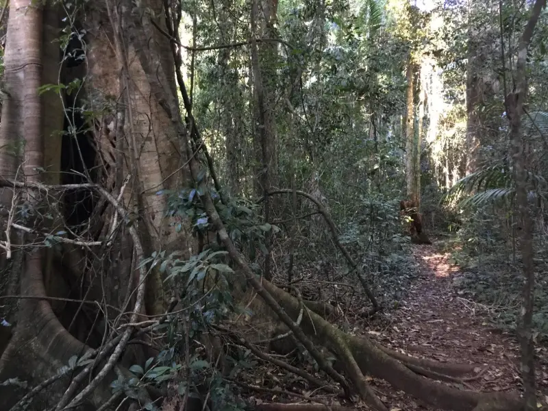
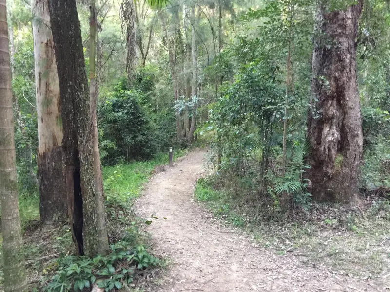
Along this walk you experience the transition between dense rainforest and dry eucalypt woodland. Allow plenty of time to make the return journey. And bring a warm layer to wear.
Afterwards
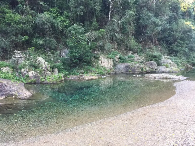
Relax in the day use area, cool your feet in the creek, after all you’ve earned it. Then, if you are still feeling perky, there are numerous walks to be done in this area including the Booloumba Falls, the Strangler Cairn and the full 56 km Conondale Range Great Walk.
After your walk you can head to into Kenilworth or Eumundi for some refreshments – there are plenty of options available. The Eumundi pub does surprisingly great salads.
How to get there
To the starting point: Follow the M1 / Bruce Highway north, and take the Kenilworth exit. Follow the signs for Kenilworth, travelling along the Eumundi-Kenilworth Road for about 28km. Go through Kenilworth and continue toward Maleny. The turn-off to Booloumba Creek day-use and camping areas is on your right about 7.5 km, just after Little Yabba Creek Park. Follow this road for another 7 km and you will get to the Booloumba Creek day-use area.
NOTE: Queensland Parks advises: All park roads are gravel and at present suitable for high clearance four-wheel-drive vehicles ONLY. Booloumba Creek Road includes three creek crossings. Many keen walkers park their cars on the side of the road before the first creek crossing and walk in. This walk starts from the day-use area.
To the end point: The end point is the same as the starting point.
About this place
- Suitable for walking
- Dogs prohibited
- Picnic table on site
- Toilets on site
- Camping permitted
- Walking track grade
- Grade 5
- An unformed track, likely to be very rough, very steep and unmarked. For very experienced bushwalkers with specialised skills.
Graded on the Queensland Parks walking track scale. Walk with care(opens in a new tab)
- Managed by
- Queensland Parks and Wildlife Service
- Conondale National Park(opens in a new tab)
To report damage, a hazard or another problem with the trail:
Safety
Queensland Parks alerts
Conondale National Park is managed by Queensland Parks and Wildlife Service. These are their current alerts for the park, and some may be about other parts of it. Park alerts in the Sunshine Coast region(opens in a new tab)
Mt Allan fire tower in Conondale National Park is temporarily closed to climbing. An engineering report has indicated the tower is not suitable for public access. The tower will be closed to all access until further notice. Applies: 29 April 2024 to 31 May 2027
Read the alert on Queensland ParksQueensland Parks and Wildlife Service (QPWS) will be conducting a maintenance program on the Conondale Range Great Walk from 1 May to 30 November (weather permitting). Applies: 1 May to 30 November 2026
Read the alert on Queensland ParksIn an emergency, call 000. Always adventure safely!
- Always follow any local signage, it contains key information and conditions can change at any time.
- Use the trails with consideration for your abilities, be prepared for the adventure ahead:
- Be aware of the weather conditions, found here: Bureau of Meteorology — Queensland(opens in a new tab)
- Always wear appropriate clothing, focus on good footwear.
- Always bring more water than you think you will need.
- Be Sun Safe!
- Always let someone know where you are going that isn't going with you.
- Just getting started try this site for good useful information: Trail Hiking Australia — hike safety(opens in a new tab)
- Sunshine Coast Council does its best to keep this information current, but things change, so be aware that a trail may not be as listed here.
This is a challenging walk with steep inclines. Found that the view from the top wasn't very satisfying and not worth the 5km trek. Very good walk for fitness though.
Nearby trails
Your Adventure Starts Here
Save favourites, plan trips, earn badges and share your trail photos with the community — free, in seconds.
Always free · Sign up in seconds
Printed from Adventure Sunshine Coast · https://adventure.sunshinecoast.qld.gov.au/trails/45232/conondale-national-park-booloumba-creek-to-mount-allan-walk
Always check current conditions and closures before you set out.