facebook
Image showing that the PDF download is in progress... PDF download in progress

Please wait...

Image showing a pink decorative paint splat
Image showing a green decorative paint splat
upload photo button
reviews buttonReviews view map buttonMap
view 3d map button3D Map
directions take me there buttonDirections
Save
PDF
Gpx File

Maleny Boardwalk: Tesch Park

Maleny Boardwalk: Tesch Park
Maleny
walking icon walking icon black cycling icon cycling icon black
Trail type
difficulty icon
Skill Level
0.6km
Length
direction icon direction icon black
Circuit

Located in the heart of Maleny.

SUITABILITY
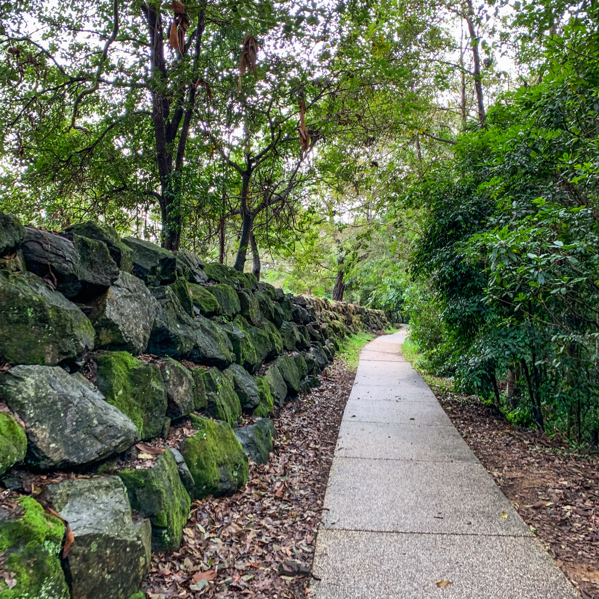
A short walk suitable for all ages, prams and wheelchairs, and recreational cyclists. It’s an easy grade.

HIGHLIGHTS
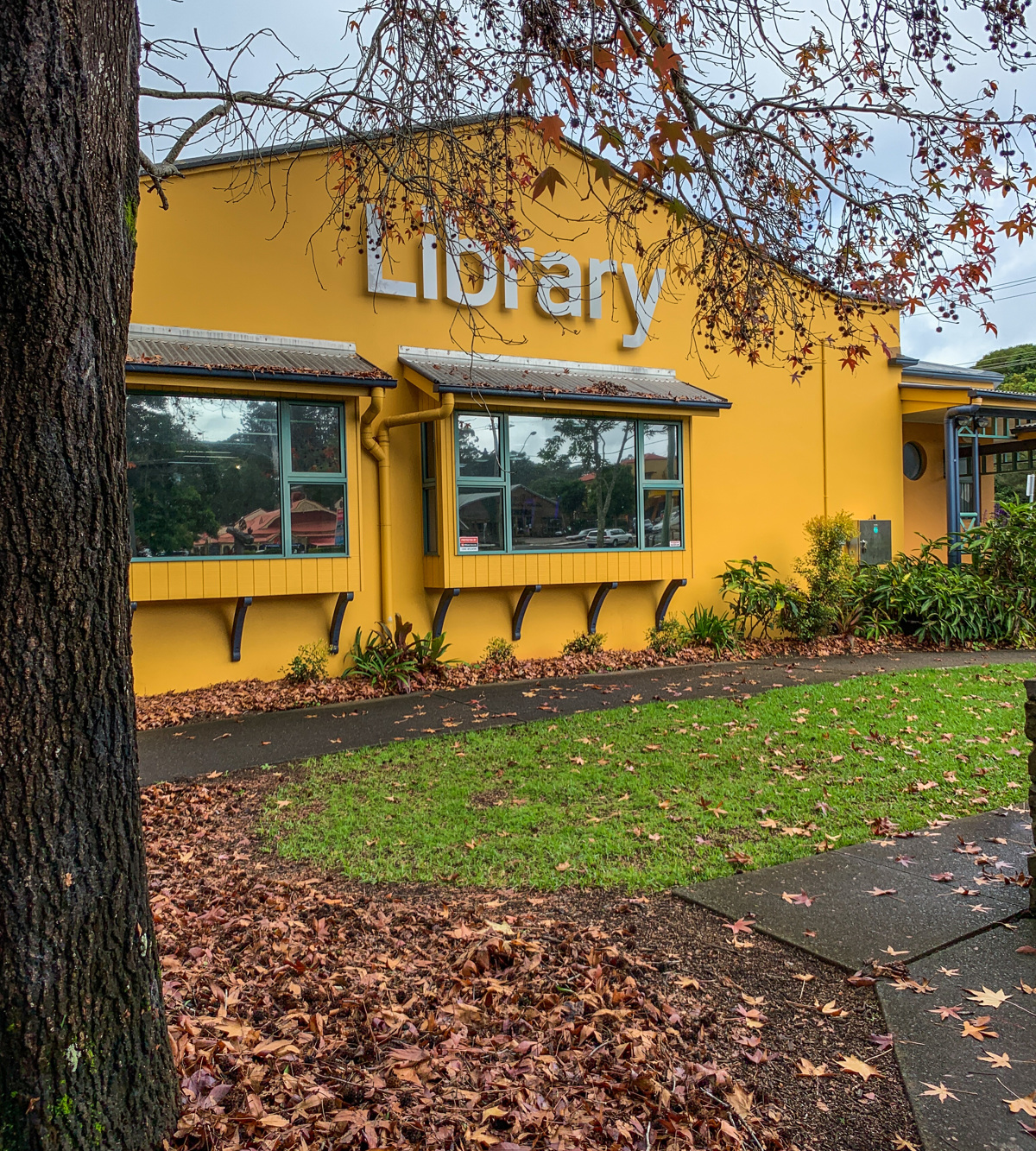
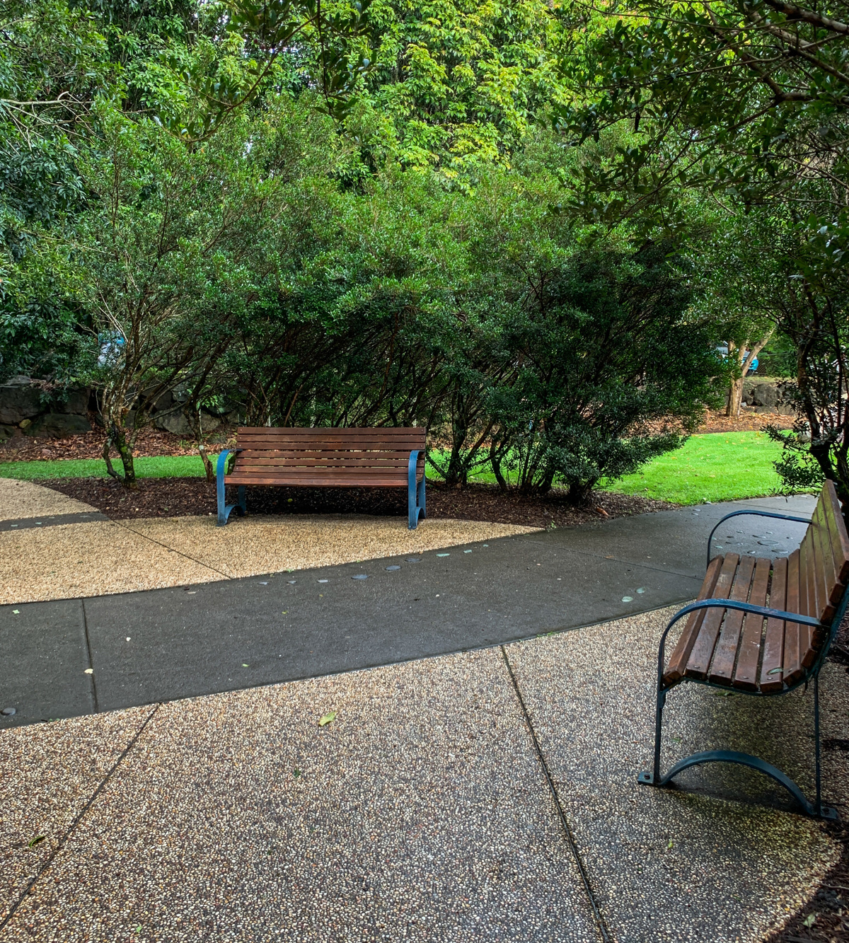
Tesch Park is located in the heart of Maleny, a rural community located high in the Blackall Range. The park is a central point for locals and visitors to the area, with a fenced playground, shelters with picnic and barbecue facilities, as well as public amenities.
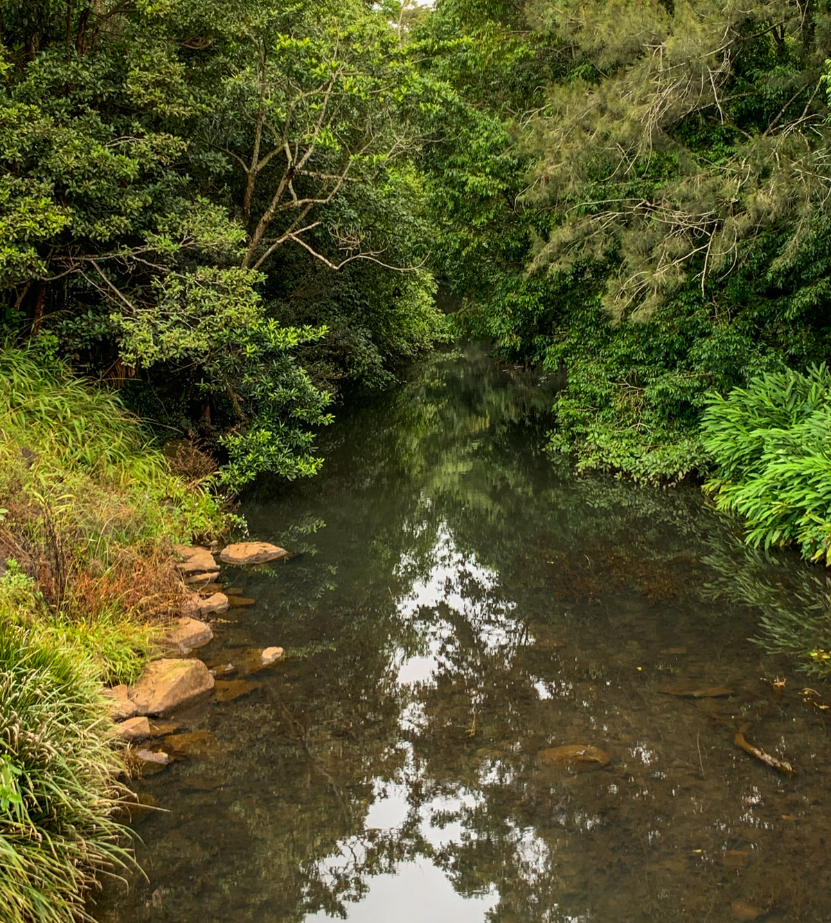
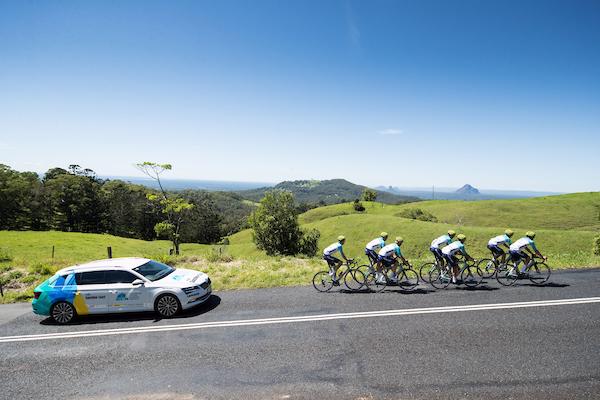
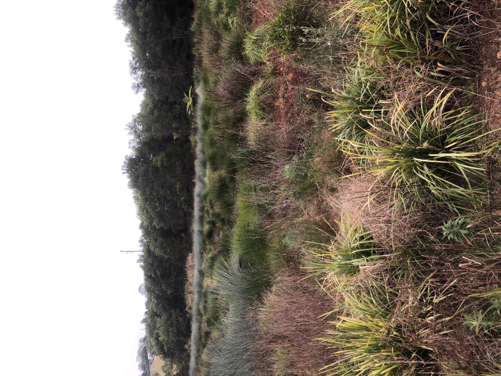
The parkland extends past the Maleny Library and along the Obi Obi Creek. You can enjoy picturesque views along a short walking trail and spend time relaxing in the open parkland (known as Pecan Park). This walk is a small loop off the larger Maleny Trail Circuit established as part of the Maleny Community Precinct. The full circuit is 6.7km starting at the Maleny Showgrounds.

AFTERWARDS
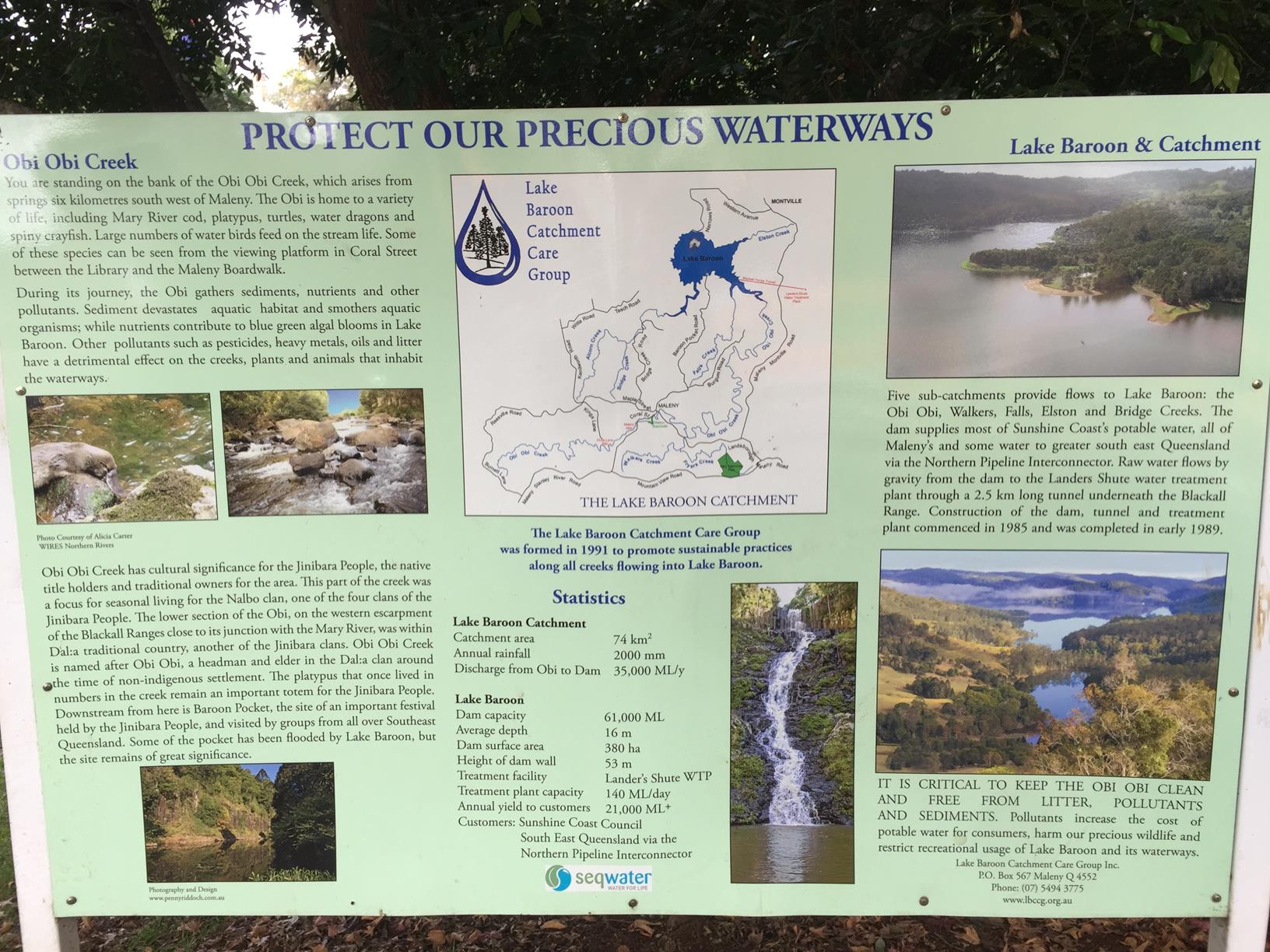
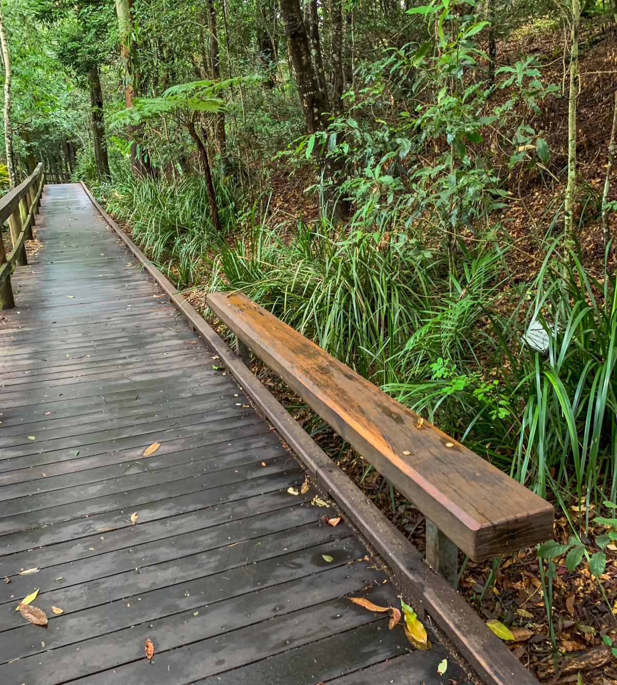
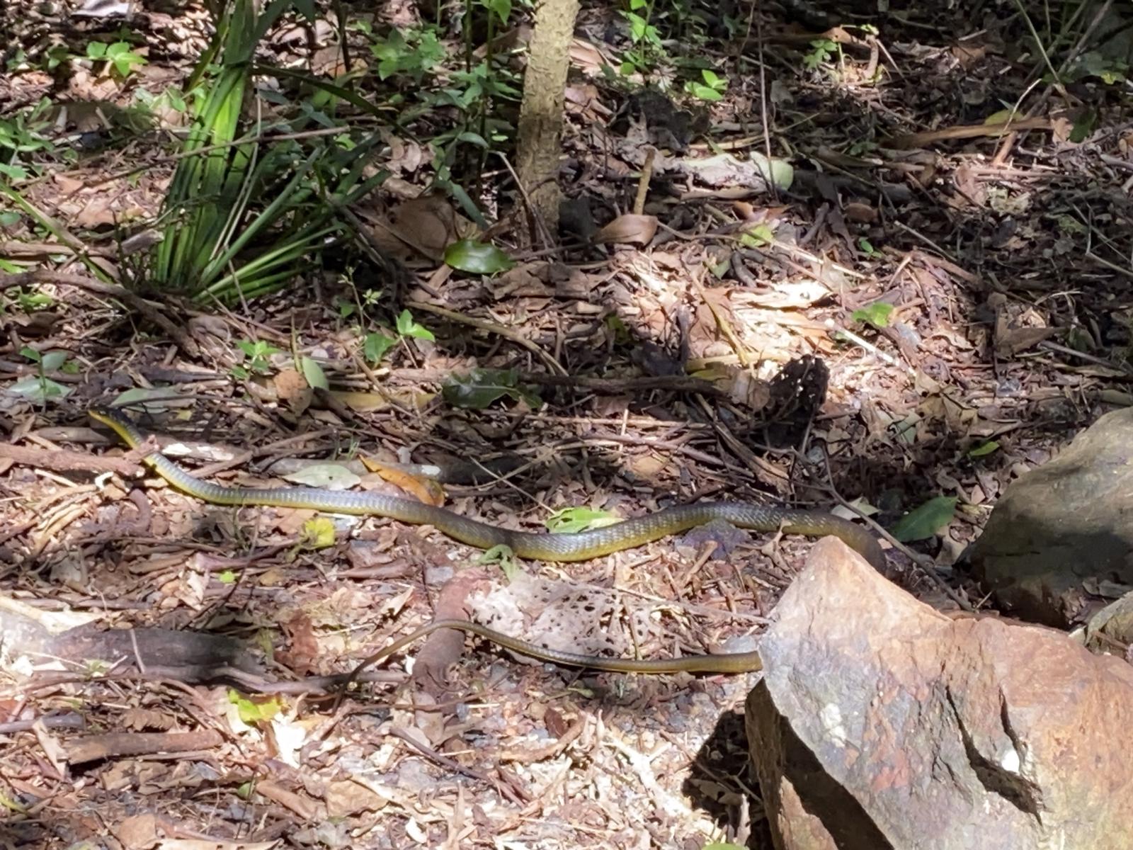
Take a short walk up Coral Street and look for platypus on the Obi Obi Boardwalk. Follow the boardwalk beside the Obi Obi creek through a subtropical rainforest, with a number of viewing platforms.
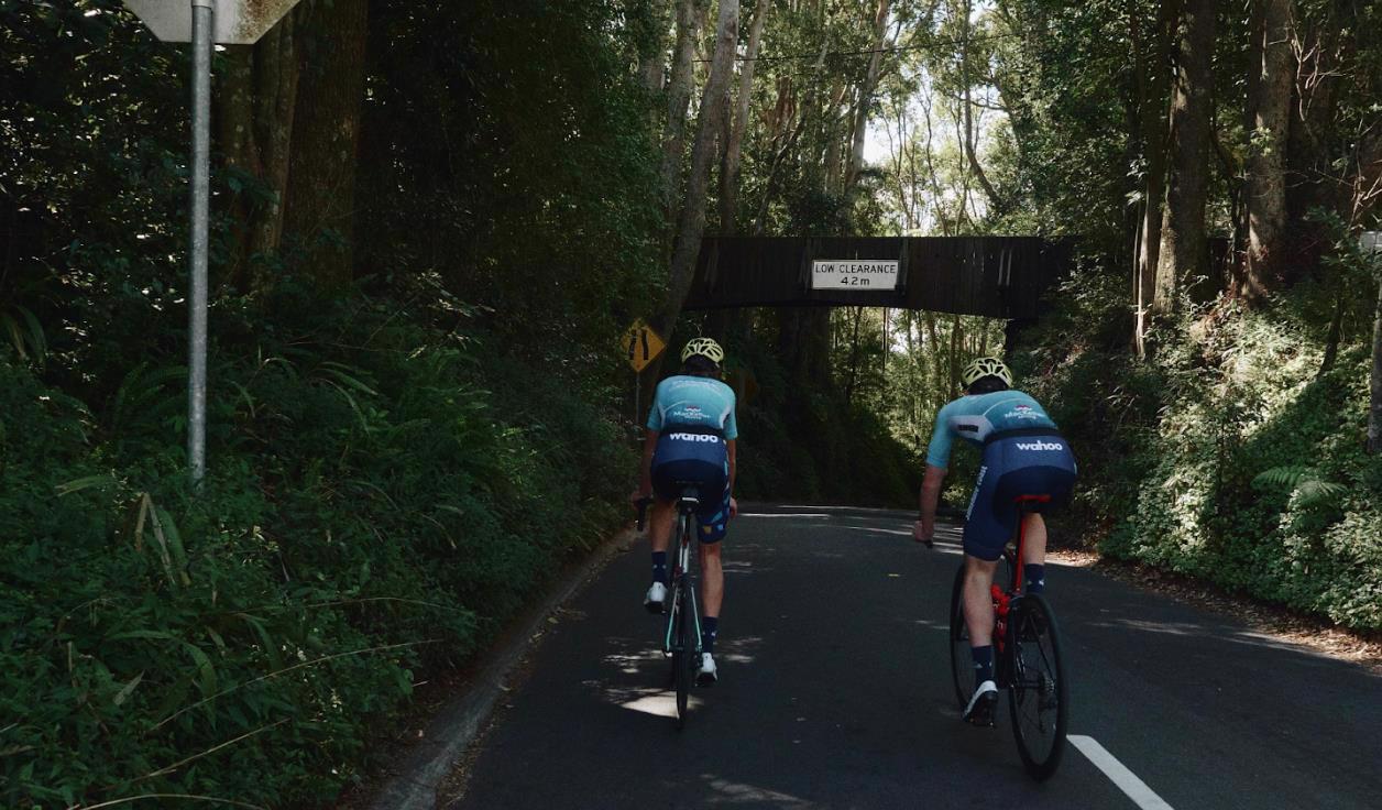
Or if you're feeling energetic, do the whole 6.7kms Maleny Trail Circuit! Because of the cooler mountain air and deciduous trees, this a beautiful trail to do in Autumn and Winter months.
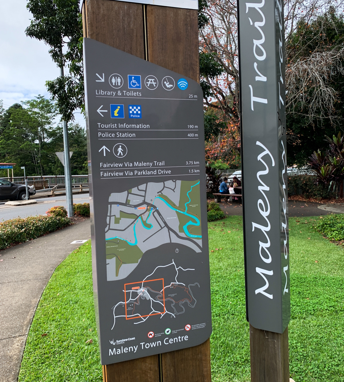

HOW TO GET THERE
To the starting point: Tesch Park in the heart of Maleny. Head to the roundabout at the junction of Maple, Coral and Bunya Streets and find a car park close by.
To the end point: This is a circular route with the end point being the same as your starting point.


glossary button
Glossary
  • Icon showing this activity is suitable for wheelchairsSuitable for wheelchairs
  • Icon showing this activity is suitable for walkingSuitable for walking
  • Icon showing this activity is suitable for recreational cyclingSuitable for recreational cycling
  • Icon showing this activity is suitable for mountain bikingSuitable for mountain biking
  • Icon showing this activity is suitable for horse ridingSuitable for horse riding
  • Icon showing this activity is suitable for kayakingSuitable for kayaking
  • Icon showing this activity has drinking water availableDrinking water available
  • Icon showing this activity does not have drinking water availableNo drinking water available
  • Icon showing this activity has a barbeque on siteBarbeque on site
  • Icon showing this activity has a picnic table on sitePicnic table on site
  • Icon showing this activity has toilets on siteToilets on site
  • Icon showing fires are permitted at this activityFires permitted
  • Icon showing fires are prohibited at this activityFires prohibited
  • Icon showing camping is permitted at this activityCamping permitted
  • Icon showing camping is prohibited at this activityCamping prohibited
  • Suitable for walking Suitable for walking black lines Suitable for walking
  • Suitable for recreational cycling Suitable for recreational cycling Suitable for recreational cycling
  • No drinking water available No drinking water available No drinking water available
  • barbeque on site barbeque on site Barbeque on site
  • Picnic table on site Picnic table on site Picnic table on site
  • toilets on site toilets on site Toilets on site
  • Fires prohibited Fires prohibited Fires prohibited
  • Camping prohibited Camping prohibited Camping prohibited
Write a review

Be the first to review this trail.

hazard icon

IN AN EMERGENCY DIAL '000'.

Always Adventure Safely!

  • Always follow any local signage, it contains key information and conditions can change at any time.
  • Use the trails with consideration for your abilities, be prepared for the adventure ahead:
    • Be aware of the weather conditions, found here: http://www.bom.gov.au/qld/.
    • Always wear appropriate clothing, focus on good footwear.
    • Always bring more water than you think you will need.
    • Be Sun Safe!
    • Always let someone know where you are going that isn’t going with you.
  • Just getting started try this site for good useful information: https://www.trailhiking.com.au/hike-safety/
  • Sunshine Coast Council does it’s best to maintain current information but things can change so always be aware that a trail may not be as listed in this guide, and report and issues via our feedback link.

Sunshine Coast Council

For any issues with this experience please contact:

Sunshine Coast Council via 07 5475 7272 or via e-mail: adventure@sunshinecoast.qld.gov.au

Nearby Trails

Trail Image for Maleny Boardwalk: Platypus Walk
Easy

Maleny Boardwalk: Platypus Walk

Maleny
walking icon
Trail type
difficulty icon
Skill Level

0.8km

Length
direction icon
One-way
Trail Image for Road Cycle Route: Hinterland Loop
Difficult

Road Cycle Route: Hinterland Loop

Balmoral Ridge
walking icon cycling icon
Trail type
difficulty icon
Skill Level

95.8km

Length
direction icon
Circuit
Trail Image for Road Cycle Route: Bellthorpe Circuit
Difficult

Road Cycle Route: Bellthorpe Circuit

Bald Knob
walking icon cycling icon
Trail type
difficulty icon
Skill Level

78.4km

Length
direction icon
Circuit
Trail Image for Maleny Trail to Reynolds Crossing
Intermediate

Maleny Trail to Reynolds Crossing

Maleny
walking icon cycling icon
Trail type
difficulty icon
Skill Level

3.6km

Length
direction icon
One-way
Trail Image for Maleny Northern Wetlands Trail
Easy

Maleny Northern Wetlands Trail

walking icon
Trail type
difficulty icon
Skill Level

2.0km

Length
direction icon
One-way

Share this trail

This action requires a login.
To continue, click on Login/Signup below.

Photo uploaded successfully, thank you.

Feedback / Suggest an Adventure

If you have any feedback on the site or any of the trails, please drop us a short email.

Have we missed something? Do you have an adventure to suggest? Fill in the suggestion form to let us know about it.