facebook
Image showing that the PDF download is in progress... PDF download in progress

Please wait...

Image showing a pink decorative paint splat
Image showing a green decorative paint splat
upload photo button
reviews buttonReviews view map buttonMap
view 3d map button3D Map
directions take me there buttonDirections
Save
PDF
Gpx File

Gardners Falls

Gardners Falls
Maleny
walking icon walking icon black
Trail type
difficulty icon
Skill Level
0.2km
One-way Length
direction icon direction icon black
One-way

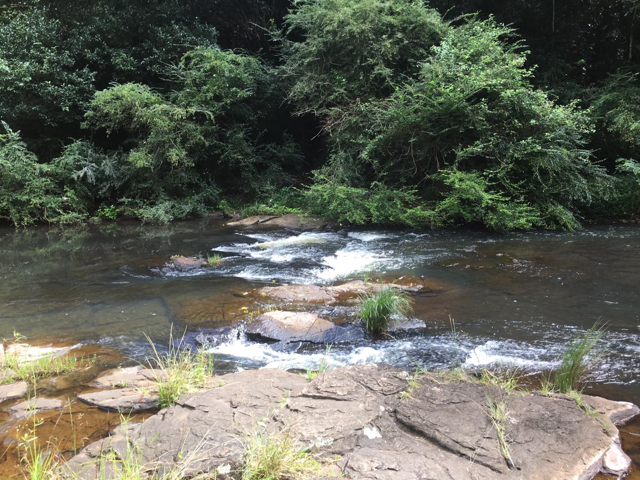
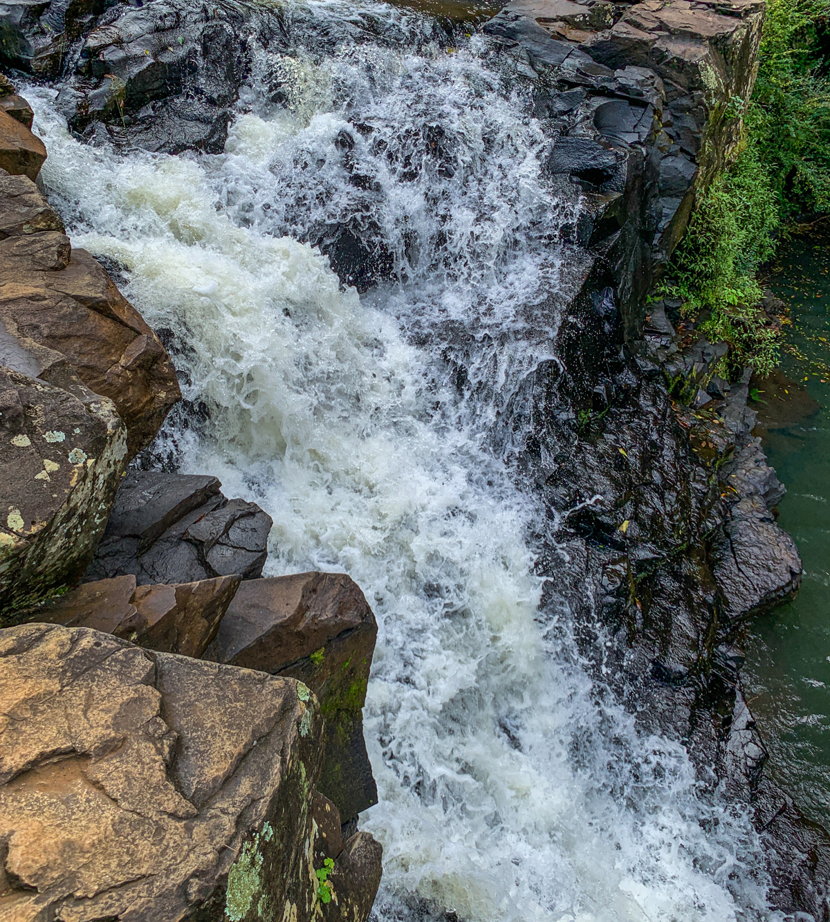
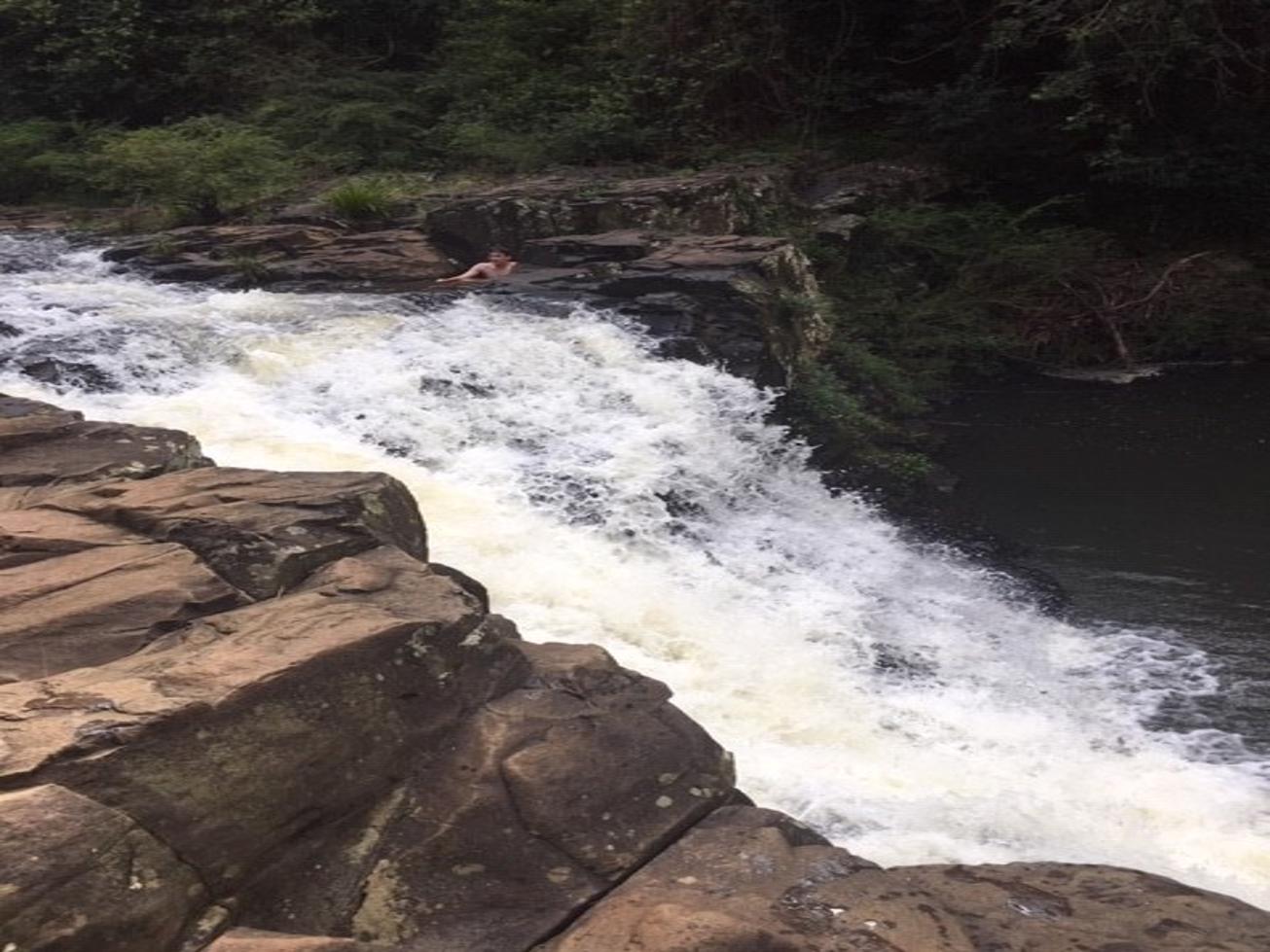
A series of rockpools to enjoy and escape the heat of summer.

SUITABILITY
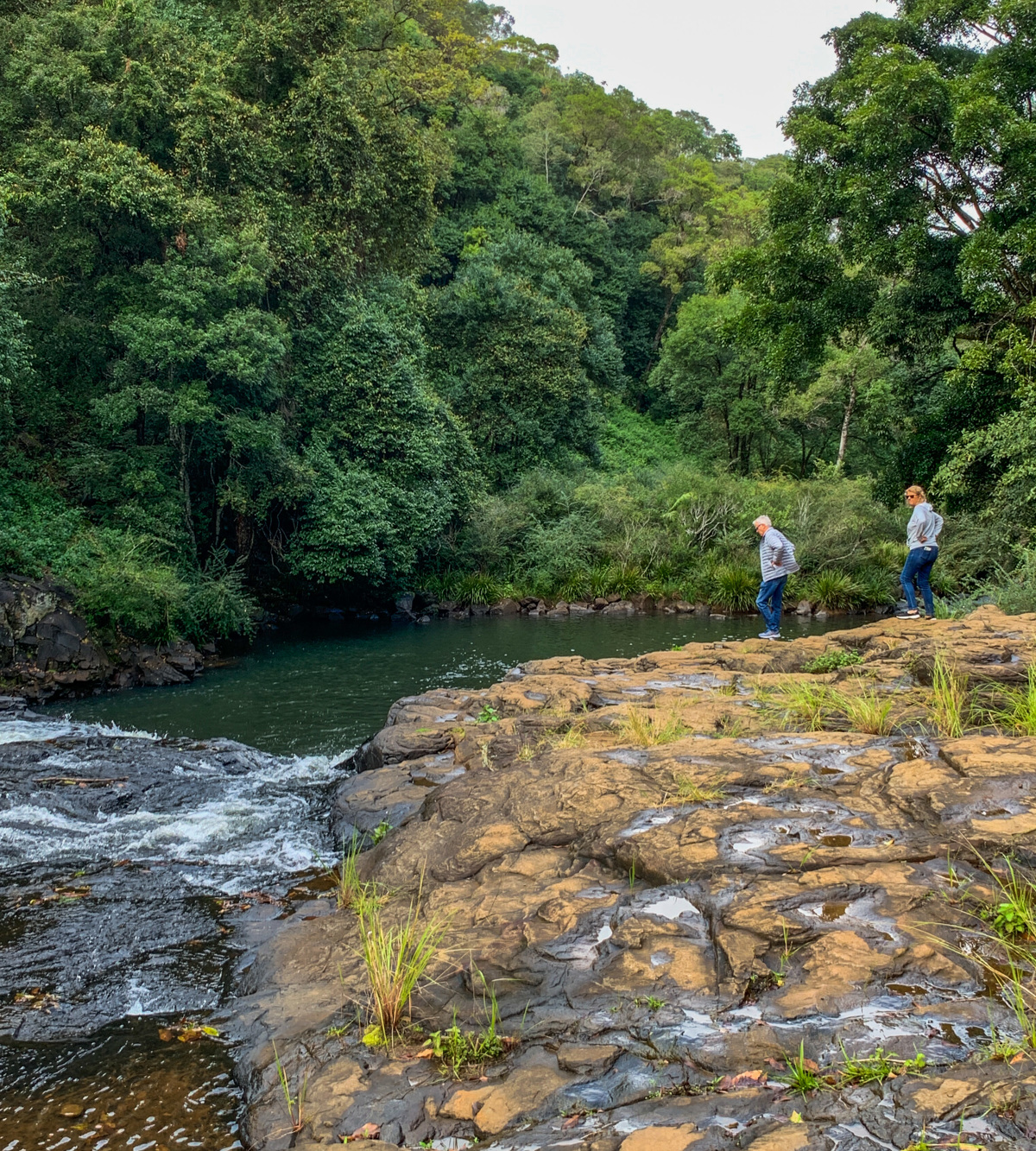
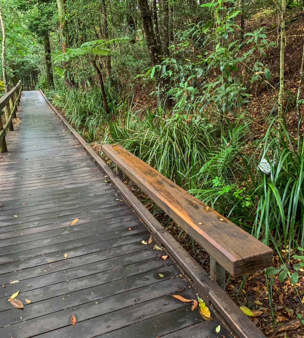
With only a short flat walk to the falls, this is a great destination for all ages.

HIGHLIGHTS
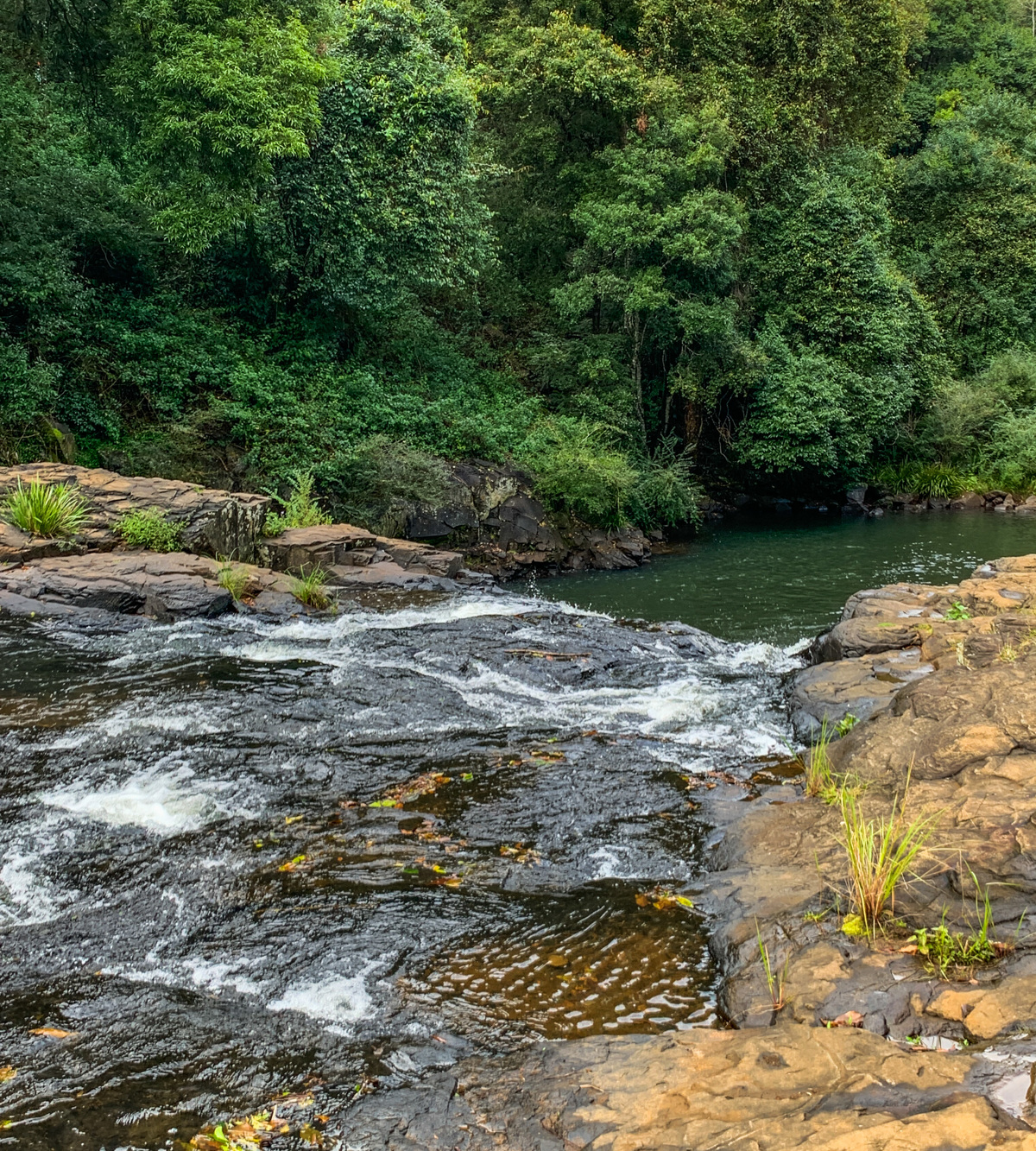
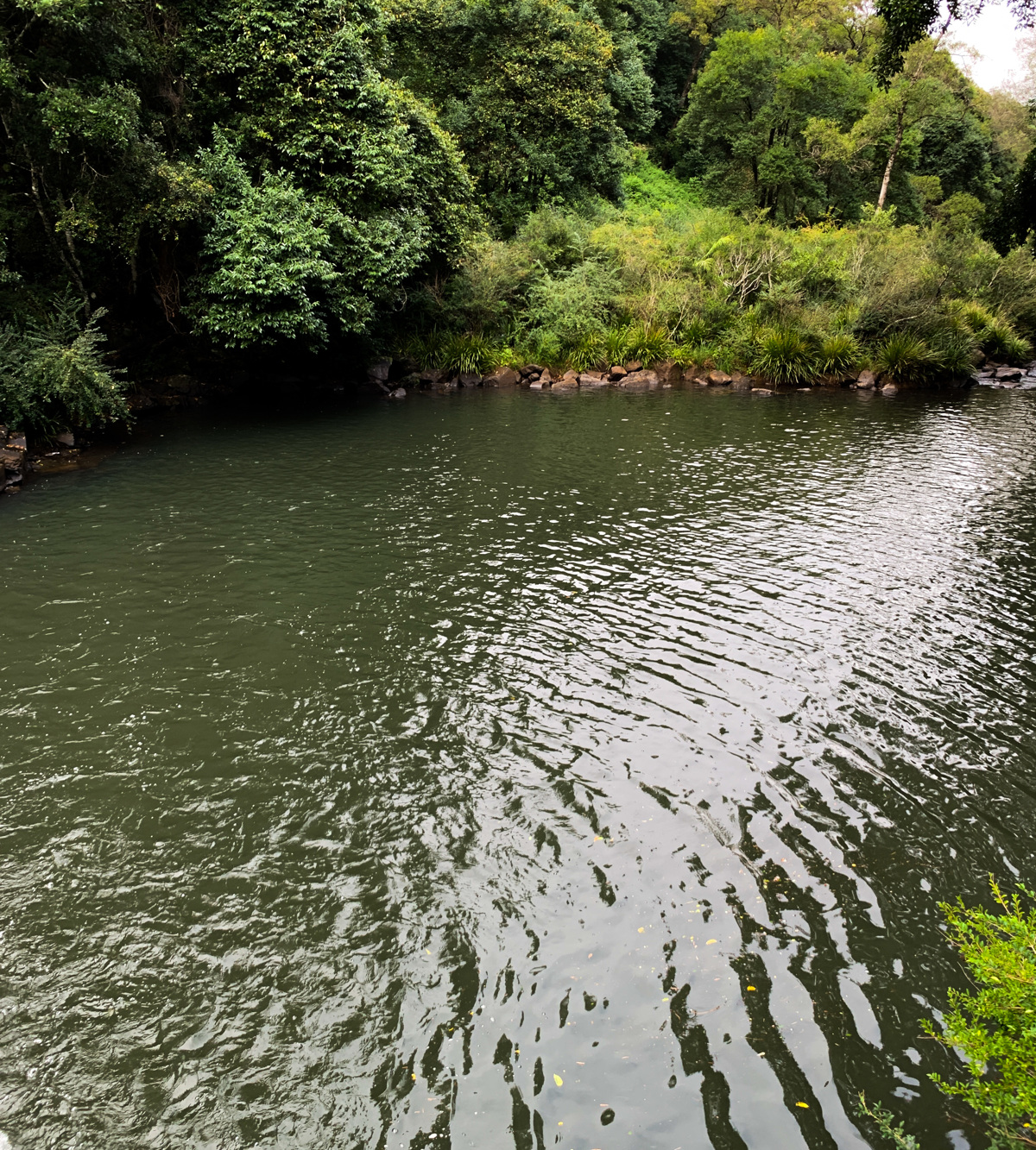
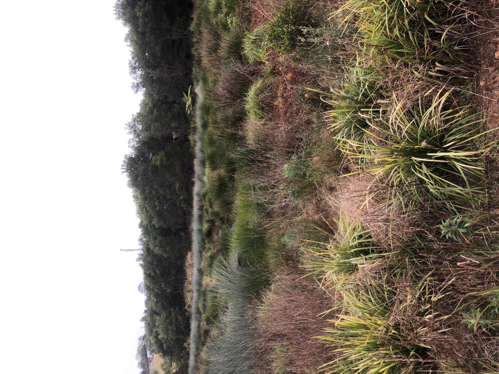
Take a short, level walk downstream to Gardners Falls, the ideal place for a freshwater swim for the whole family. Along the way are smaller shallower freshwater pools, ideal for littlies or those wanting to soak their feet in the cool stream! The cool refreshing water is bounded by grassy banks and native forest.
Gardners Falls is also a popular picnic spot, with picnic tables and amenities next to the car park. This is one location you simply must visit.
The falls are also a popular place for nature lovers and photographers.
The best time to visit the falls is after rainfall but be careful as the rocks can be slippery. Beware it is a very popular and busy location in summertime.

AFTERWARDS
Take a short trip to Mary Cairncross Scenic Reserve, one of the most spectacular vantage points for the Glass House Mountains. Here you can access rainforest walks through the discovery centre by gold coin donation, enjoy a picnic on the open grass, or relax and enjoy a meal at the café!


HOW TO GET THERE
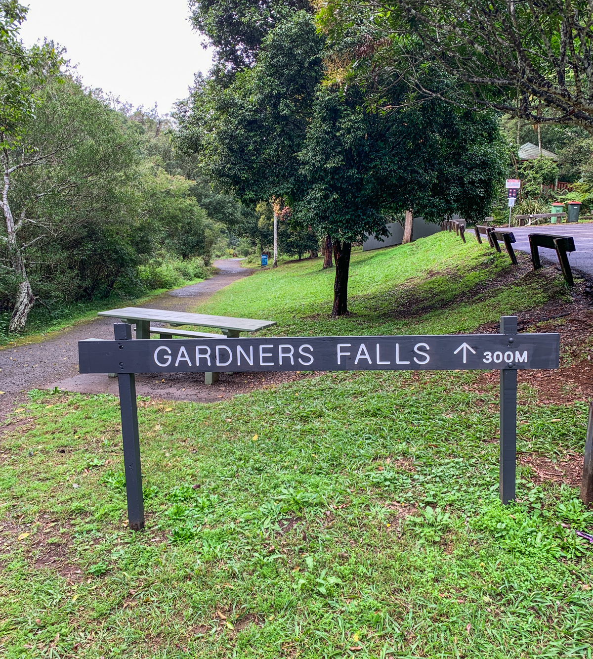
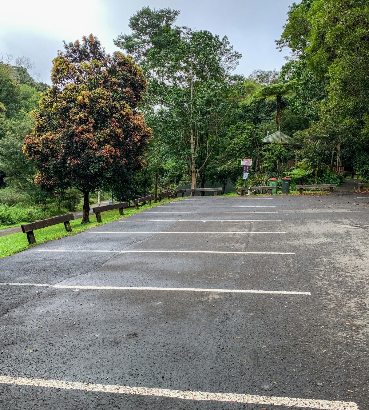
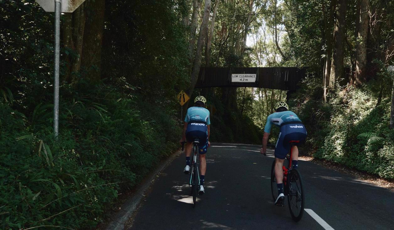
To the starting point: Gardners Falls are located at the end of Obi Lane South, just past Spicers Tamarind Retreat.
Travelling west on the Landsborough Maleny Road, Obi Lane South is about 1km on your right past the Maleny-Montville Road T-intersection. There is a sealed car park at the beginning of the falls.
To the end point: The end point being the same as your starting point (car park).


glossary button
Glossary
  • Icon showing this activity is suitable for wheelchairsSuitable for wheelchairs
  • Icon showing this activity is suitable for walkingSuitable for walking
  • Icon showing this activity is suitable for recreational cyclingSuitable for recreational cycling
  • Icon showing this activity is suitable for mountain bikingSuitable for mountain biking
  • Icon showing this activity is suitable for horse ridingSuitable for horse riding
  • Icon showing this activity is suitable for kayakingSuitable for kayaking
  • Icon showing this activity has drinking water availableDrinking water available
  • Icon showing this activity does not have drinking water availableNo drinking water available
  • Icon showing this activity has a barbeque on siteBarbeque on site
  • Icon showing this activity has a picnic table on sitePicnic table on site
  • Icon showing this activity has toilets on siteToilets on site
  • Icon showing fires are permitted at this activityFires permitted
  • Icon showing fires are prohibited at this activityFires prohibited
  • Icon showing camping is permitted at this activityCamping permitted
  • Icon showing camping is prohibited at this activityCamping prohibited
  • Suitable for walking Suitable for walking black lines Suitable for walking
  • No drinking water available No drinking water available No drinking water available
  • Picnic table on site Picnic table on site Picnic table on site
  • toilets on site toilets on site Toilets on site
  • Fires prohibited Fires prohibited Fires prohibited
  • Camping prohibited Camping prohibited Camping prohibited
Write a review

Review Date: 16/05/2019

Absolutely fabulous adventure for the whole family; even little toddler legs! A nice flat walk to the waterfall. We saw tadpoles and froglets and watched the rapids. Only shame was seeing a bit of graffiti on the sign! Beautiful

Reviewed By: Jessica

Review Date: 18/04/2019

Nice easy walk, limited parking. Various swimming holes to suit a daredevil to young kids.

Reviewed By: Jasmine

Review Date: 15/04/2019

What a cracker of a morning this was! The trail was clean and easy to walk (with my 10 and 4 year old). The rapids on the creek provided endless fun and adventure for the kids. The main waterfall was pumping! Beautiful, clean, easy to walk. Serenity! 👍

Reviewed By: Kirsty

hazard icon

IN AN EMERGENCY DIAL '000'.

Always Adventure Safely!

  • Always follow any local signage, it contains key information and conditions can change at any time.
  • Use the trails with consideration for your abilities, be prepared for the adventure ahead:
    • Be aware of the weather conditions, found here: http://www.bom.gov.au/qld/.
    • Always wear appropriate clothing, focus on good footwear.
    • Always bring more water than you think you will need.
    • Be Sun Safe!
    • Always let someone know where you are going that isn’t going with you.
  • Just getting started try this site for good useful information: https://www.trailhiking.com.au/hike-safety/
  • Sunshine Coast Council does it’s best to maintain current information but things can change so always be aware that a trail may not be as listed in this guide, and report and issues via our feedback link.

Sunshine Coast Council

For any issues with this experience please contact:

Sunshine Coast Council via 07 5475 7272 or via e-mail: adventure@sunshinecoast.qld.gov.au

Nearby Trails

Trail Image for Maleny Trail to Reynolds Crossing
Intermediate

Maleny Trail to Reynolds Crossing

Maleny
walking icon cycling icon
Trail type
difficulty icon
Skill Level

3.6km

Length
direction icon
One-way
Trail Image for Maleny Northern Wetlands Trail
Easy

Maleny Northern Wetlands Trail

walking icon
Trail type
difficulty icon
Skill Level

2.0km

Length
direction icon
One-way
Trail Image for Road Cycle Route: Hinterland Loop
Difficult

Road Cycle Route: Hinterland Loop

Balmoral Ridge
walking icon cycling icon
Trail type
difficulty icon
Skill Level

95.8km

Length
direction icon
Circuit
Trail Image for Road Cycle Route: Bellthorpe Circuit
Difficult

Road Cycle Route: Bellthorpe Circuit

Bald Knob
walking icon cycling icon
Trail type
difficulty icon
Skill Level

78.4km

Length
direction icon
Circuit
Trail Image for Maleny Boardwalk: Platypus Walk
Easy

Maleny Boardwalk: Platypus Walk

Maleny
walking icon
Trail type
difficulty icon
Skill Level

0.8km

Length
direction icon
One-way

Share this trail

This action requires a login.
To continue, click on Login/Signup below.

Photo uploaded successfully, thank you.

Feedback / Suggest an Adventure

If you have any feedback on the site or any of the trails, please drop us a short email.

Have we missed something? Do you have an adventure to suggest? Fill in the suggestion form to let us know about it.