facebook
Image showing that the PDF download is in progress... PDF download in progress

Please wait...

Image showing a pink decorative paint splat
Image showing a green decorative paint splat
upload photo button
reviews buttonReviews view map buttonMap
view 3d map button3D Map
directions take me there buttonDirections
Save
PDF
Gpx File

Noosa Spit Recreation Reserve

Noosa Spit Recreation Reserve
NOOSA HEADS
walking icon walking icon black cycling icon cycling icon black
Trail type
difficulty icon
Skill Level
2.5km
Length
direction icon direction icon black
Circuit

Enjoy Noosa Woods and the mouth of the Noosa River from this Spit that was reclaimed and planted in the 1970s.

SUITABILITY
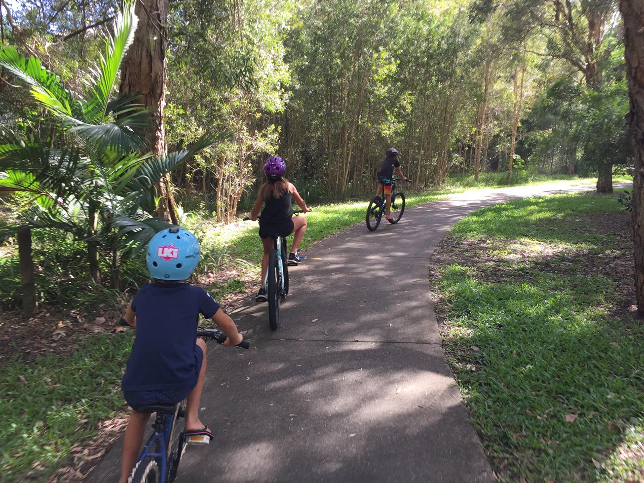
Suitable for walkers and most parts for recreational cyclists. It’s an easy grade.

HIGHLIGHTS
One of Noosa’s most popular locations for exercise and scenery, this area was developed in the 1970s to provide a larger surfing beach for Noosa and to protect the homes and canals of Noosa Sound. Over 20,000 trees have been planted in that time, maintaining the natural beauty of the area.

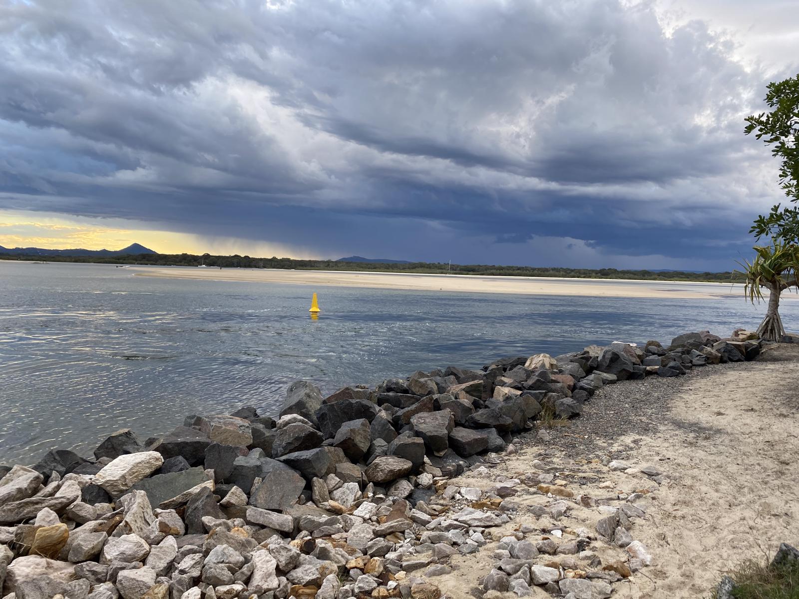
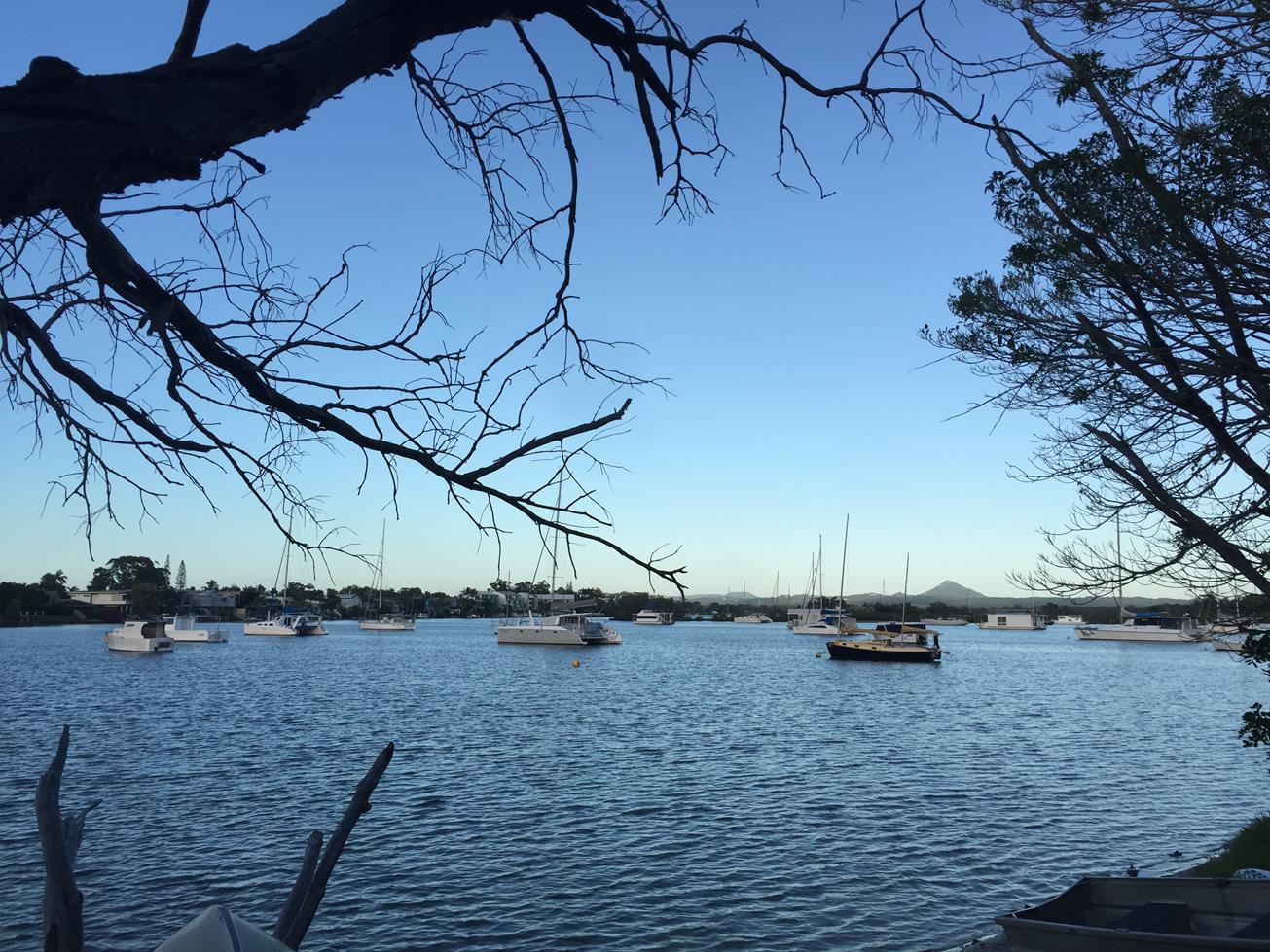
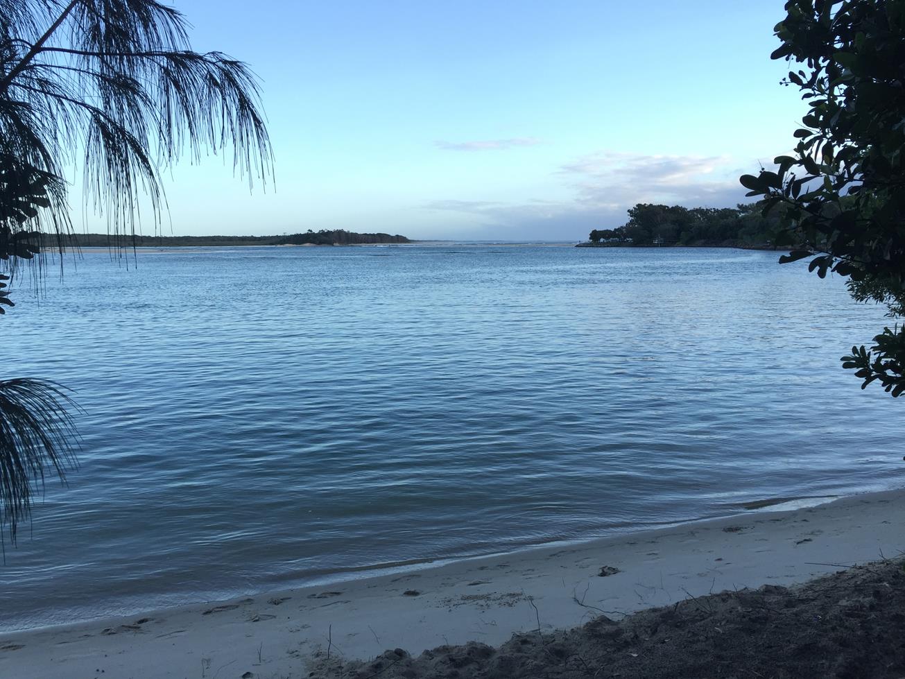
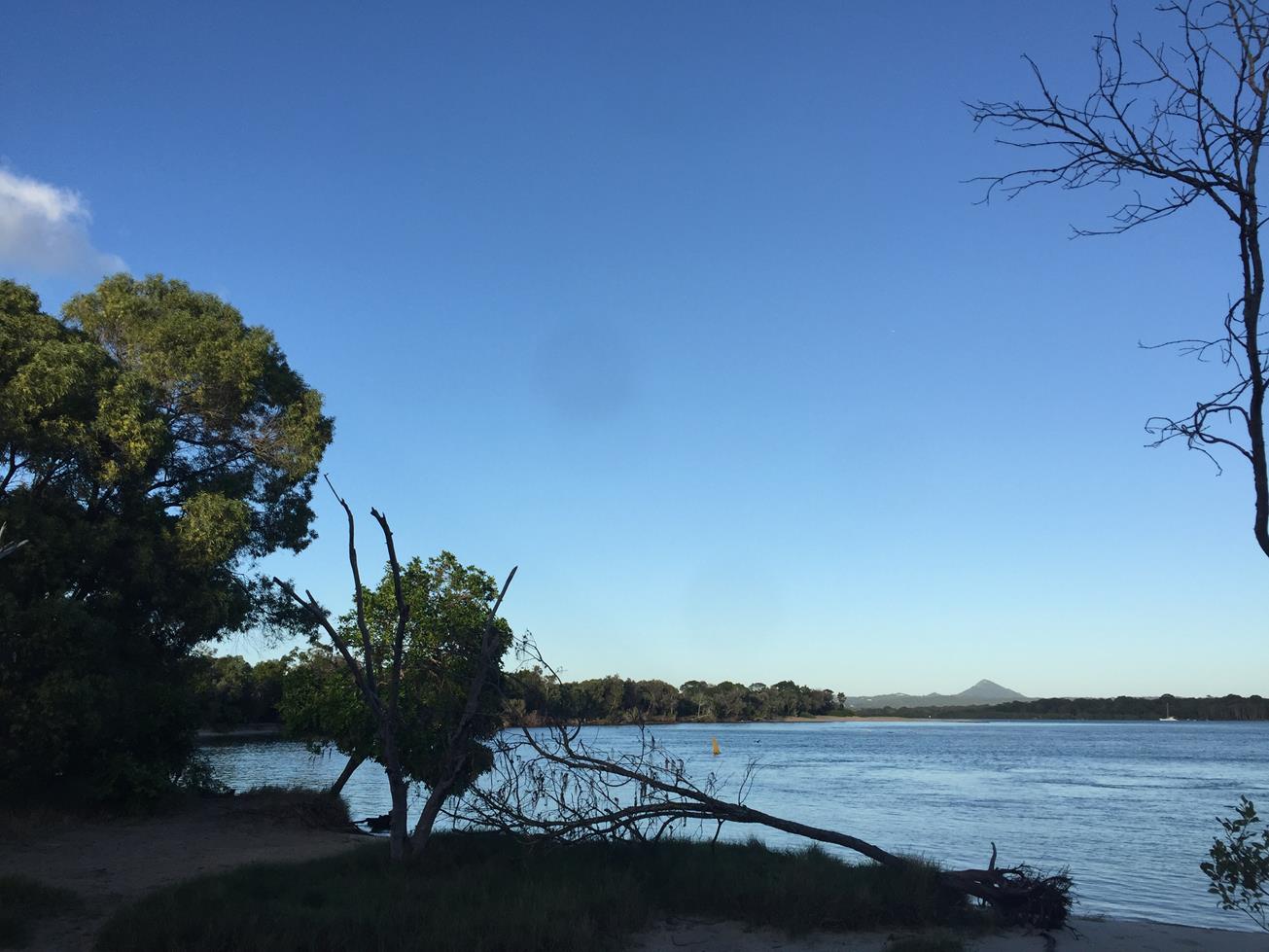
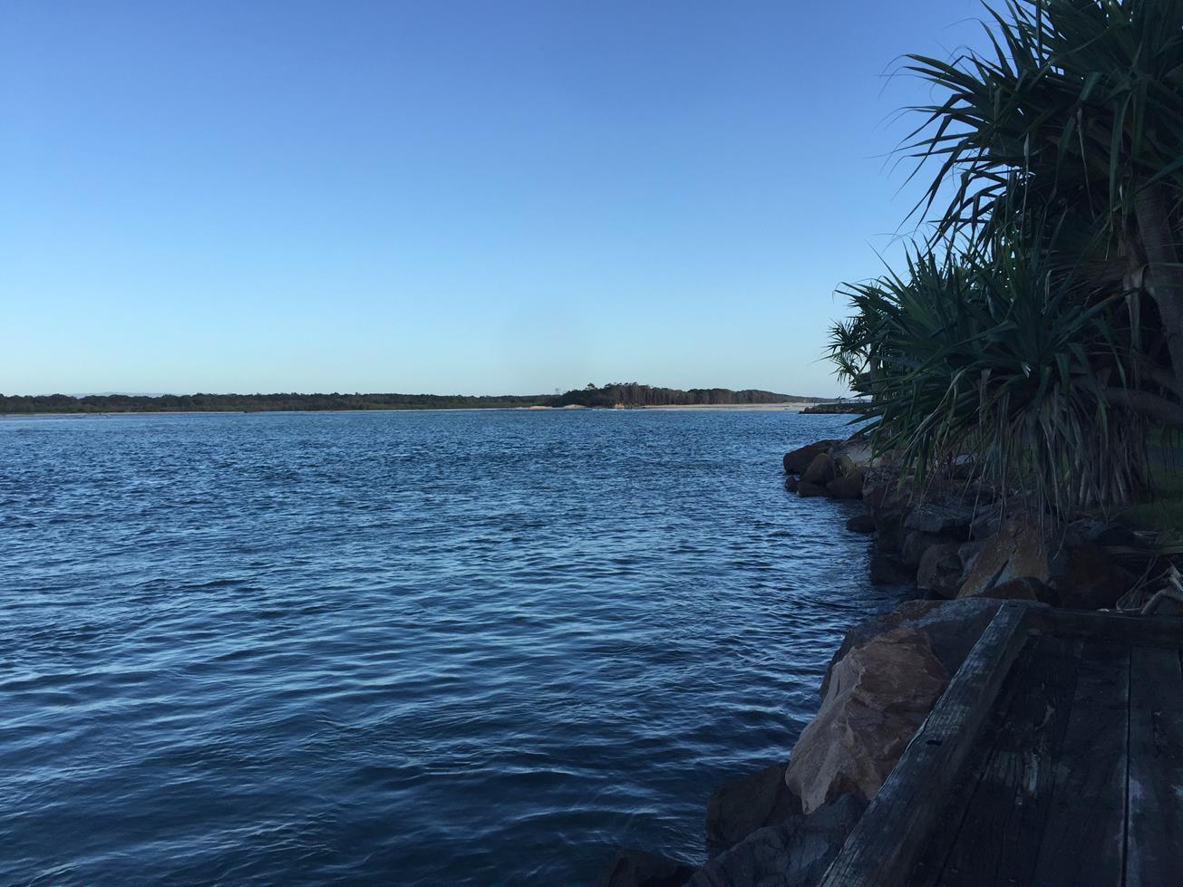
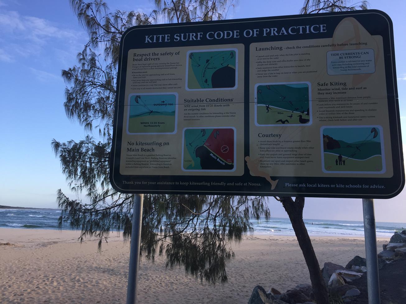
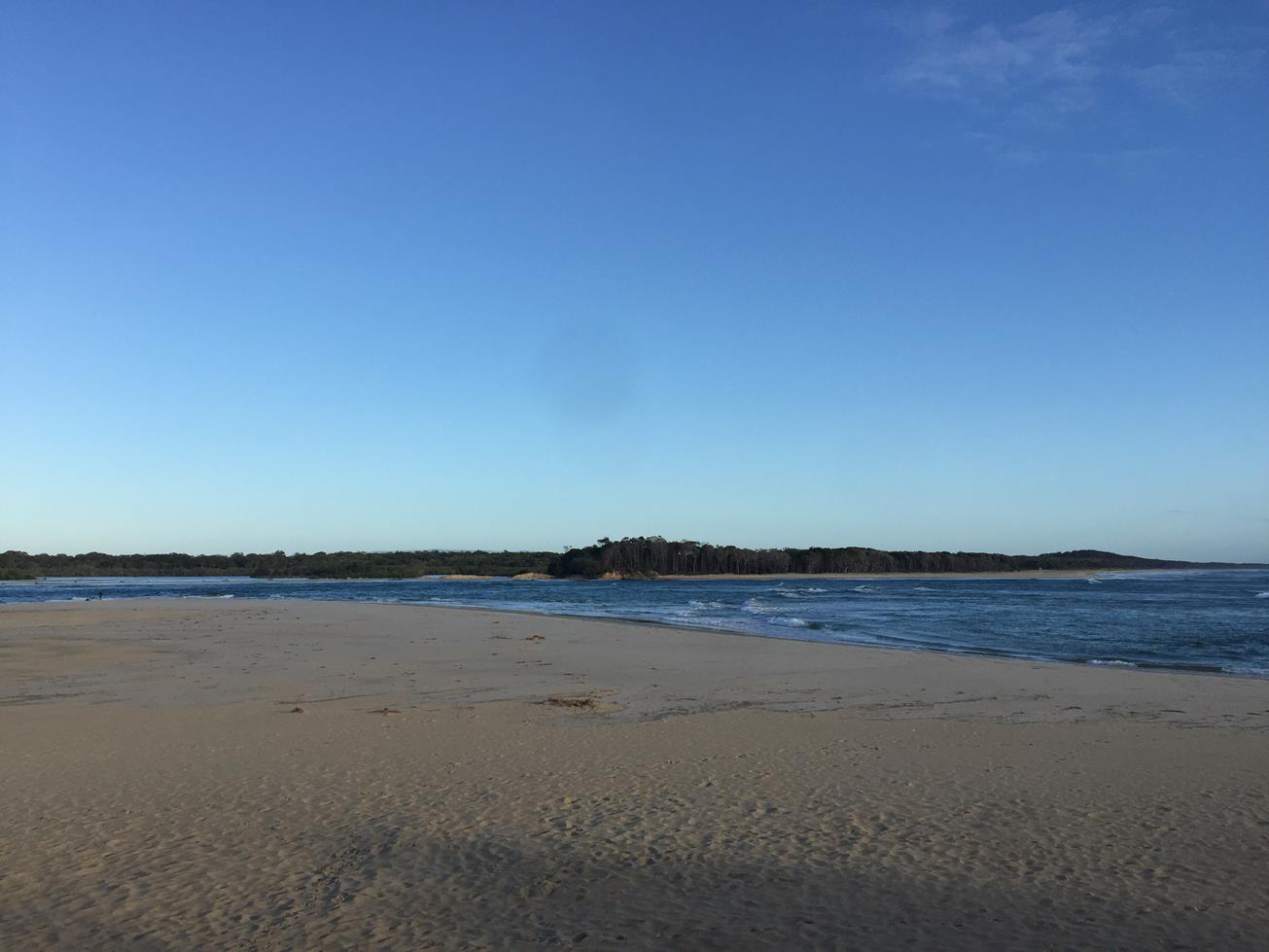
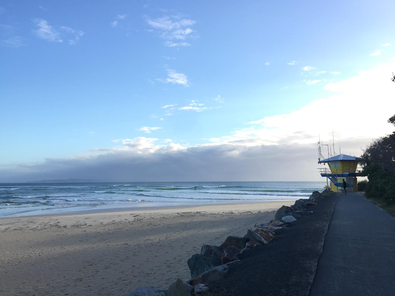
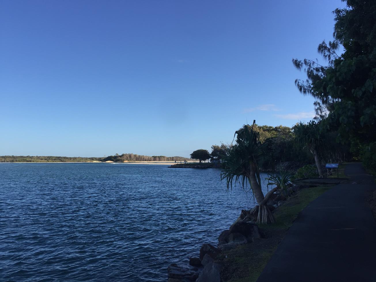
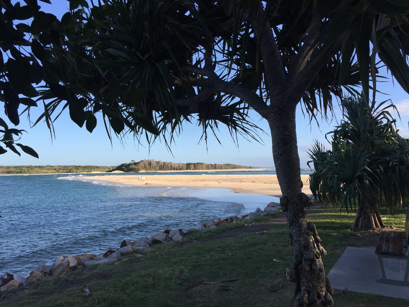
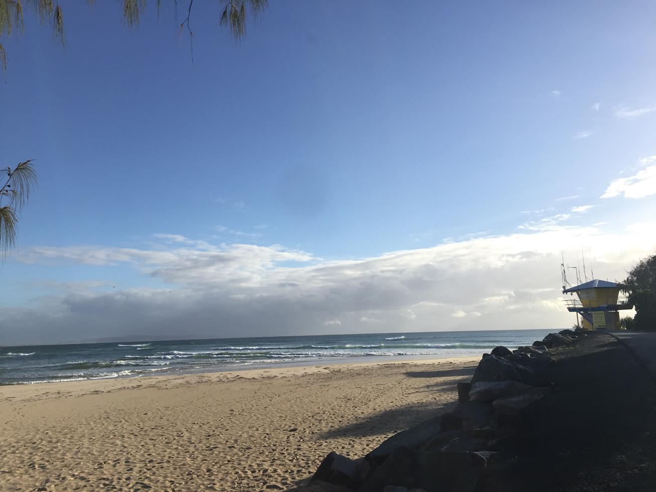
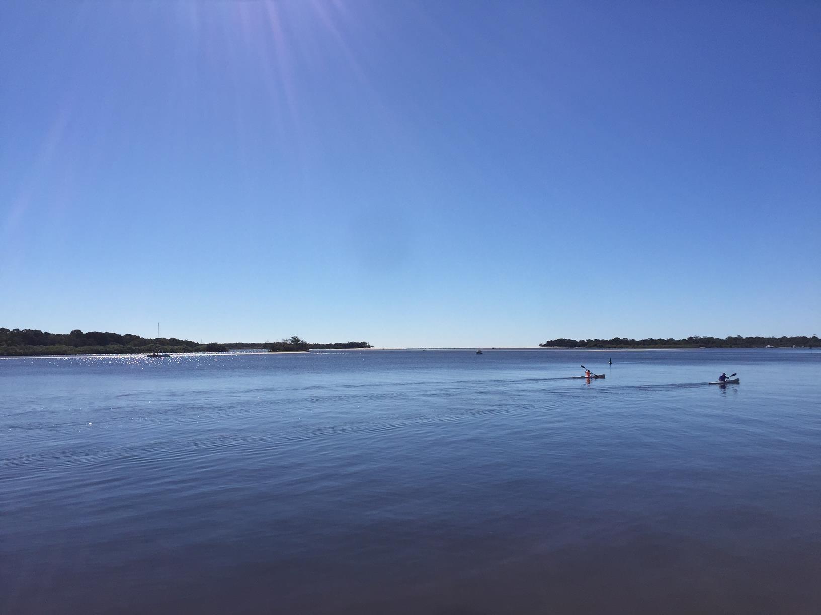
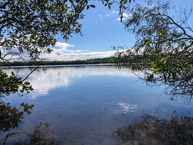
The Spit takes you to the head of the Noosa River and the bar, with Noosa Groyne beach on the Eastern side and Noosa River wrapping around the Noosa Woods isthmus on the other. On its northern banks you can discover sheltered Dog Beach where dogs can swim and play off leads all year round.

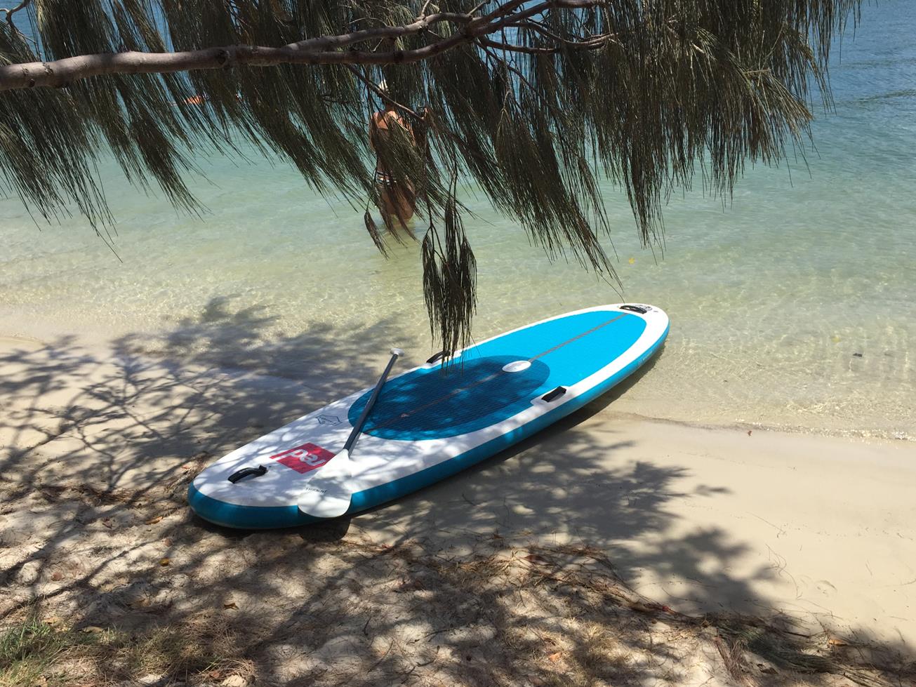
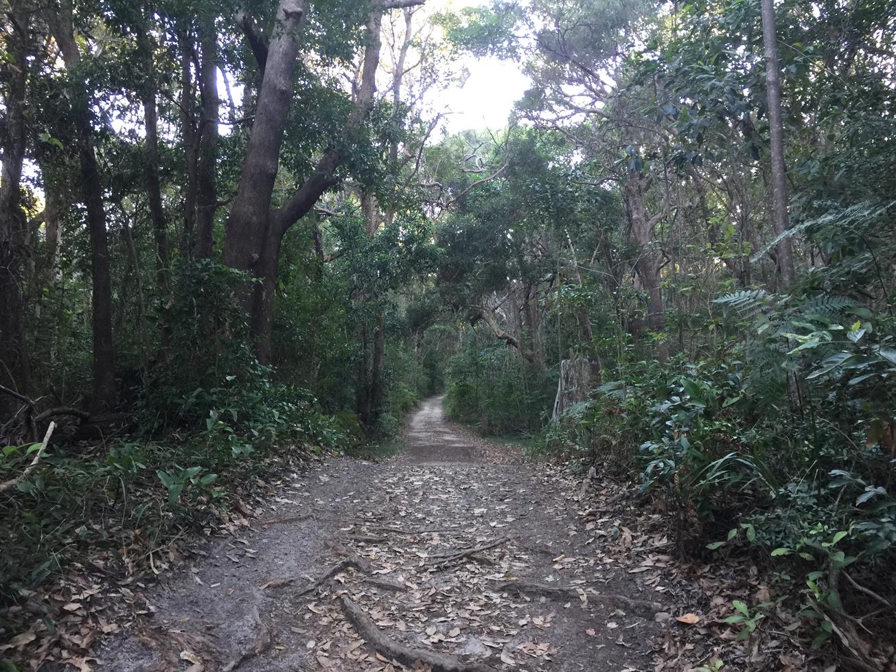
This is a lovely flat place for walking or recreation cycling with a myriad of tracks between the Spit and Hastings Street to explore. You can stay on the pavement for almost an entire loop, or go on the beach between the 2 rock walls of Groyne Beach. There are toilets, seats, shelters and large grassed areas to be found at Noosa Spit.

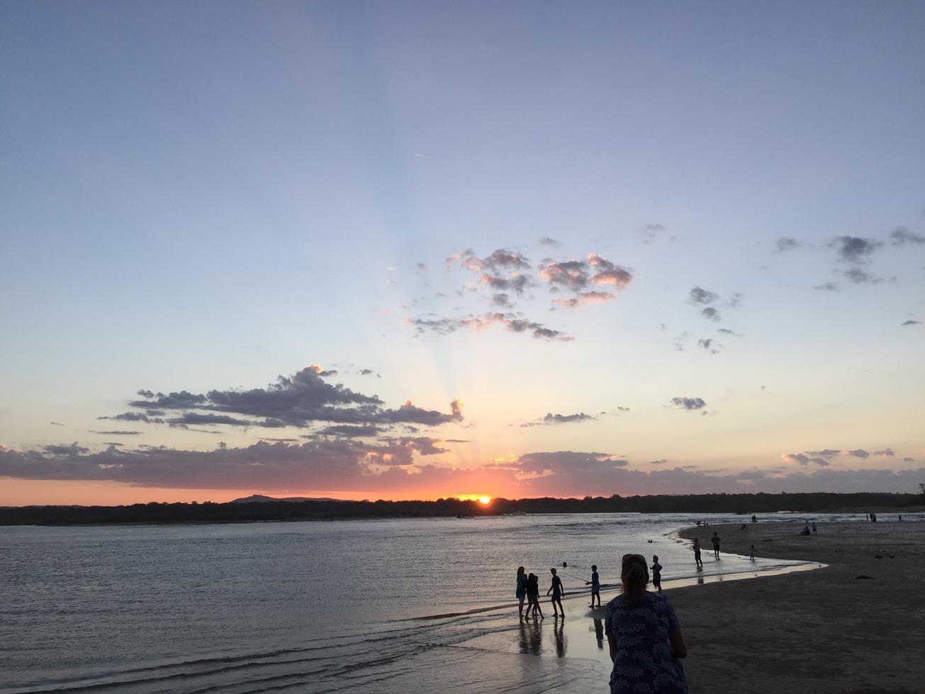
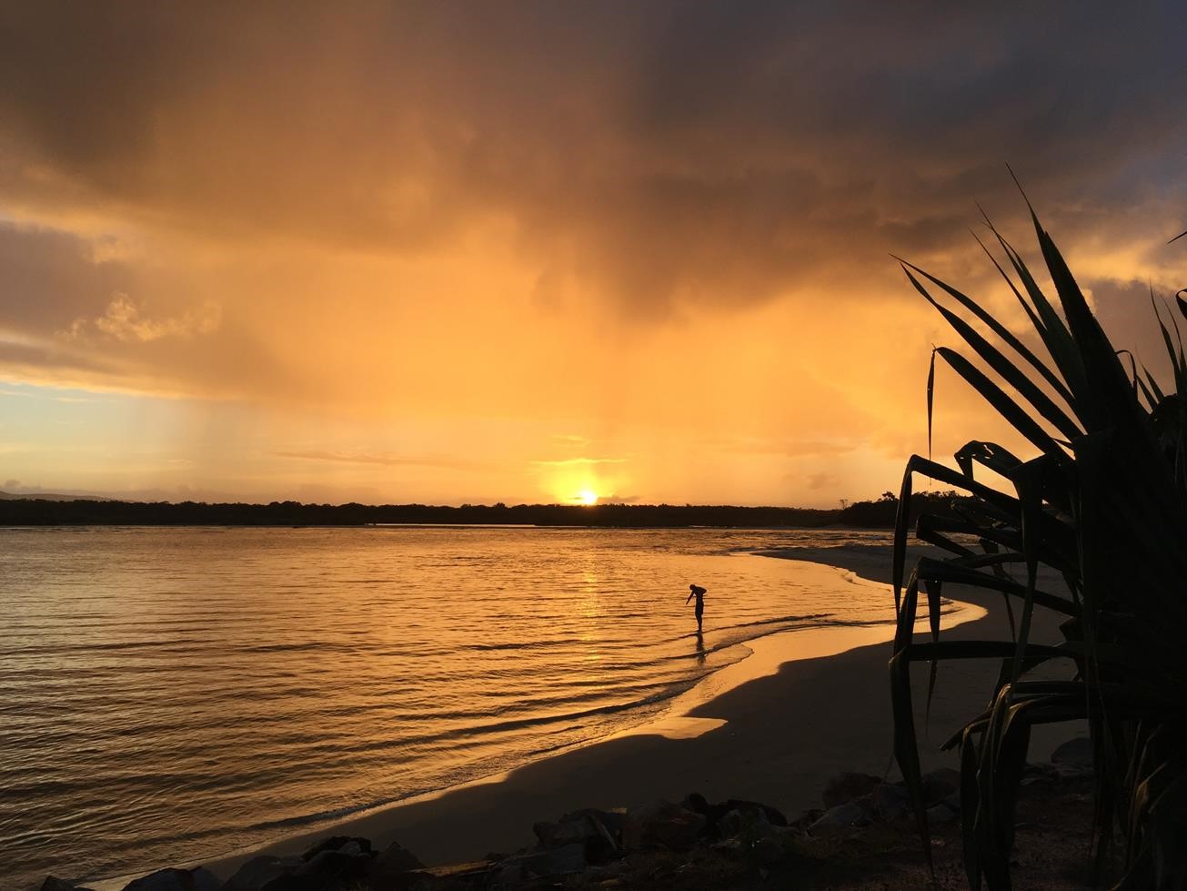
Sunsets over the river are amazing. If you are quiet you can also see a variety of birds including: Mangrove Gerygone, Mangrove Honeyeater, Tawny, Frog-mouth owls, as well as waders on sand banks.

AFTERWARDS
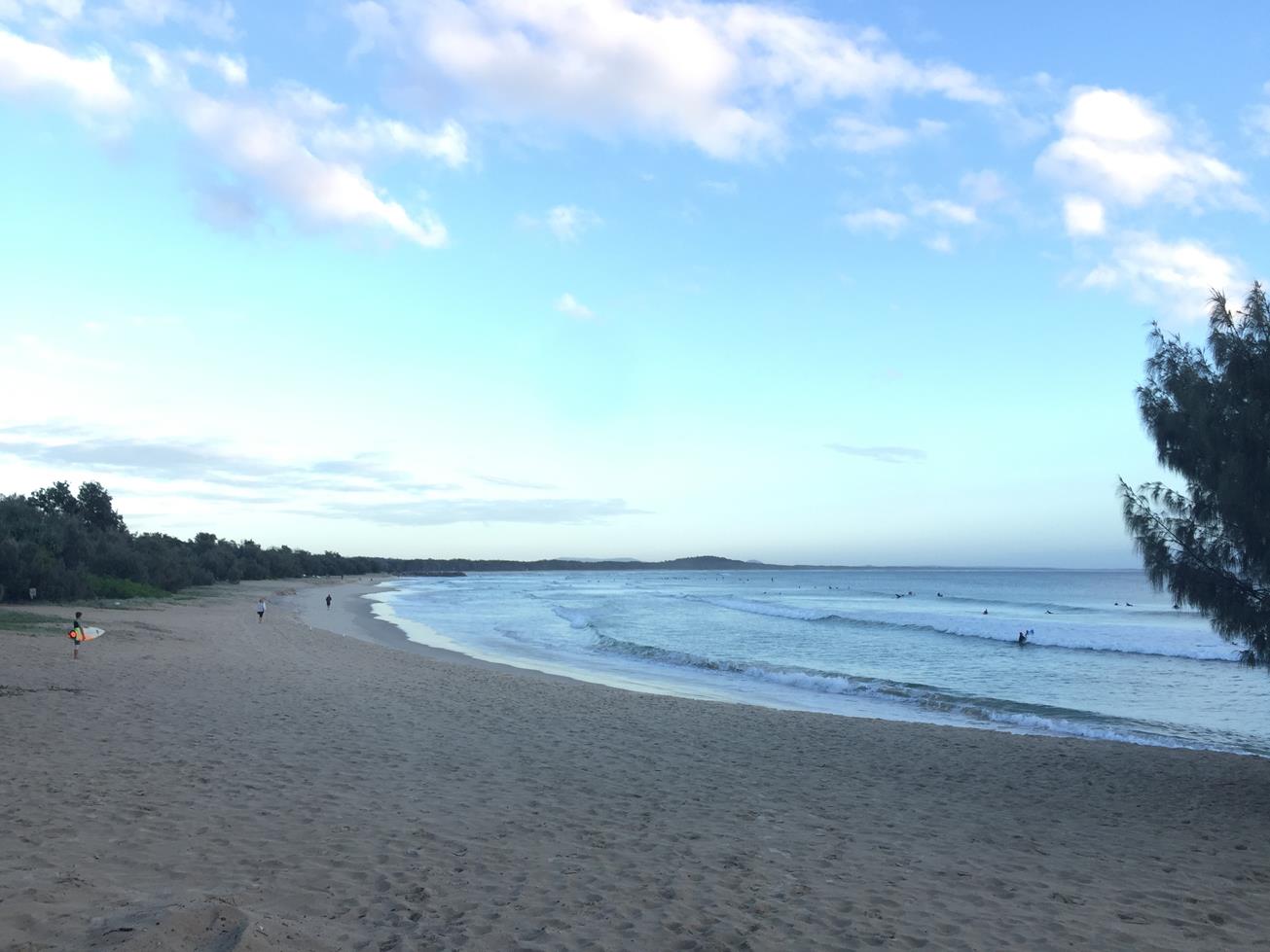
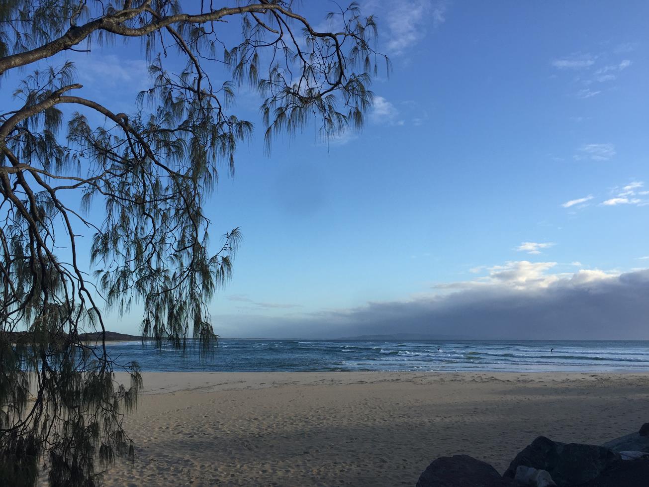
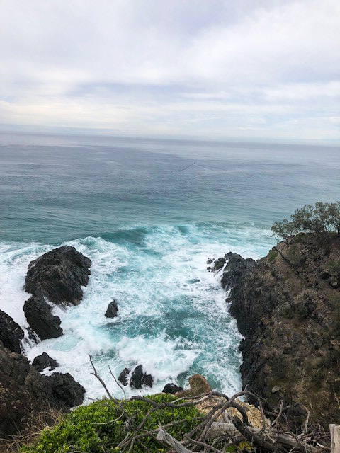
There are so many options in this area. Join the throng of people fishing off the river banks, head to Hasting Street to do some shopping or grab an ice cream, dive in to the surf for a swim, or walk along the coastal boardwalk to the start of Noosa National Park on the headland.

HOW TO GET THERE
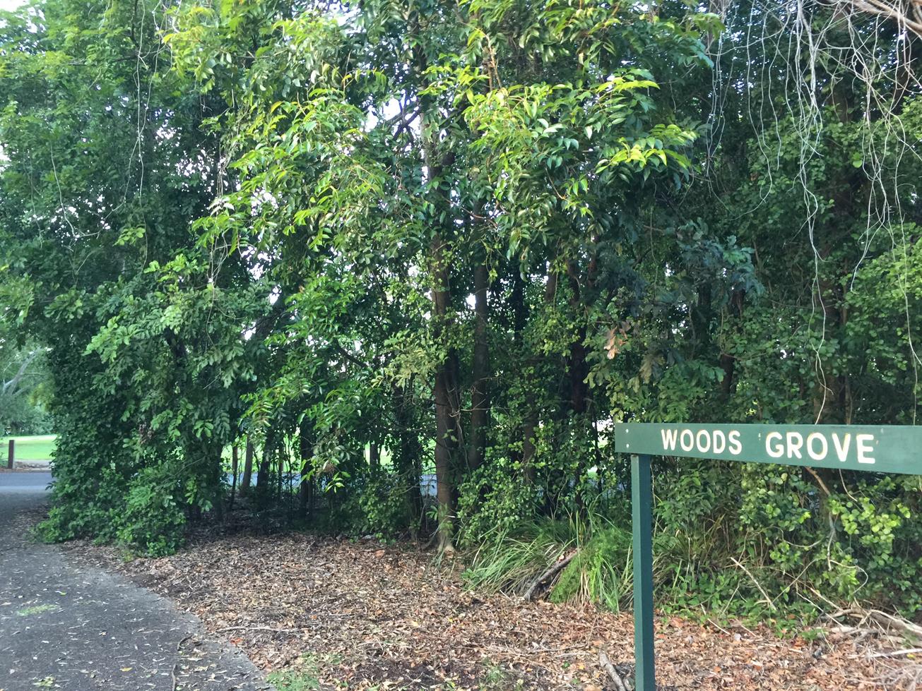
To the starting point: Follow the signs to Hastings Street, Noosa Heads, then turn left to head past the shops to Claude Batten Drive and Noosa Woods. There are several car parking spaces on the left and right hand side. Noosa Spit Reserce can be explored in any direction, i.e. you can head out to the beach, walk left to the river mouth (not suitable for cyclists) and follow the trail back along the rivers edge to your starting point. Or go in the reverse direction. Cyclists can ride to the end of Claude. Batten Drive and explore from there.

To the end point: The end point is the same as your starting point.

glossary button
Glossary
  • Icon showing this activity is suitable for wheelchairsSuitable for wheelchairs
  • Icon showing this activity is suitable for walkingSuitable for walking
  • Icon showing this activity is suitable for recreational cyclingSuitable for recreational cycling
  • Icon showing this activity is suitable for mountain bikingSuitable for mountain biking
  • Icon showing this activity is suitable for horse ridingSuitable for horse riding
  • Icon showing this activity is suitable for kayakingSuitable for kayaking
  • Icon showing this activity has drinking water availableDrinking water available
  • Icon showing this activity does not have drinking water availableNo drinking water available
  • Icon showing this activity has a barbeque on siteBarbeque on site
  • Icon showing this activity has a picnic table on sitePicnic table on site
  • Icon showing this activity has toilets on siteToilets on site
  • Icon showing fires are permitted at this activityFires permitted
  • Icon showing fires are prohibited at this activityFires prohibited
  • Icon showing camping is permitted at this activityCamping permitted
  • Icon showing camping is prohibited at this activityCamping prohibited
  • Suitable for walking Suitable for walking black lines Suitable for walking
  • Suitable for recreational cycling Suitable for recreational cycling Suitable for recreational cycling
  • No drinking water available No drinking water available No drinking water available
  • Fires prohibited Fires prohibited Fires prohibited
  • Camping prohibited Camping prohibited Camping prohibited
Write a review

Be the first to review this trail.

hazard icon

IN AN EMERGENCY DIAL '000'.

Always Adventure Safely!

  • Always follow any local signage, it contains key information and conditions can change at any time.
  • Use the trails with consideration for your abilities, be prepared for the adventure ahead:
    • Be aware of the weather conditions, found here: http://www.bom.gov.au/qld/.
    • Always wear appropriate clothing, focus on good footwear.
    • Always bring more water than you think you will need.
    • Be Sun Safe!
    • Always let someone know where you are going that isn’t going with you.
  • Just getting started try this site for good useful information: https://www.trailhiking.com.au/hike-safety/
  • Sunshine Coast Council does it’s best to maintain current information but things can change so always be aware that a trail may not be as listed in this guide, and report and issues via our feedback link.

Noosa Council

For any issues with the trail please call: 07 5329 6500

If you think something on the web site needs to change please let us know via: adventure@sunshinecoast.qld.au

Nearby Trails

Trail Image for Noosa River: Frying Pan Paddle
Easy

Noosa River: Frying Pan Paddle

NOOSA NORTH SHORE
canoeing icon
Trail type
difficulty icon
Skill Level

2.6km

Length
direction icon
One-way
Trail Image for Noosa National Park: Hells Gate Walk
Intermediate

Noosa National Park: Hells Gate Walk

NOOSA HEADS
walking icon
Trail type
difficulty icon
Skill Level

4.8km

Length
direction icon
Circuit
Trail Image for Noosa: Weyba Creek Track
Easy

Noosa: Weyba Creek Track

walking icon cycling icon
Trail type
difficulty icon
Skill Level

3.3km

Length
direction icon
Circuit
Trail Image for Weyba Creek Cycle Loop from Girraween grounds
Easy

Weyba Creek Cycle Loop from Girraween grounds

NOOSA HEADS
walking icon cycling icon
Trail type
difficulty icon
Skill Level

7.3km

Length
direction icon
Circuit
Trail Image for Noosa National Park. Sunshine Beach Section to Alexandria Bay
Intermediate

Noosa National Park. Sunshine Beach Section to Alexandria Bay

SUNSHINE BEACH
walking icon
Trail type
difficulty icon
Skill Level

2.4km

Length
direction icon
One-way

Share this trail

This action requires a login.
To continue, click on Login/Signup below.

Photo uploaded successfully, thank you.

Feedback / Suggest an Adventure

If you have any feedback on the site or any of the trails, please drop us a short email.

Have we missed something? Do you have an adventure to suggest? Fill in the suggestion form to let us know about it.