facebook
Image showing that the PDF download is in progress... PDF download in progress

Please wait...

Image showing a pink decorative paint splat
Image showing a green decorative paint splat
upload photo button
reviews buttonReviews view map buttonMap
view 3d map button3D Map
directions take me there buttonDirections
Save
PDF
Gpx File

Noosa River: Frying Pan Paddle

Noosa River: Frying Pan Paddle
NOOSA NORTH SHORE
canoe icon canoe icon black
Trail type
difficulty icon
Skill Level
2.6km
One-way Length
direction icon direction icon black
One-way

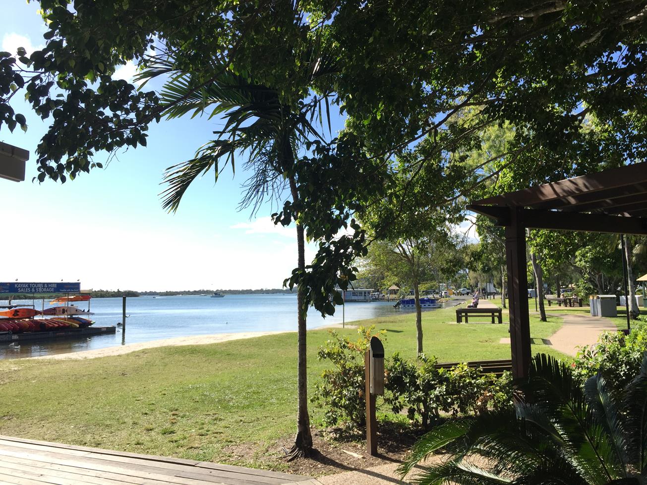
A paddle up the Noosa River to the sandy shallows of the sand bank islands near the mouth of the River.

SUITABLILITY
Suitable for intermediate level kayakers as can be affected by tidal currents, jets skis and watercraft.

HIGHLIGHTS
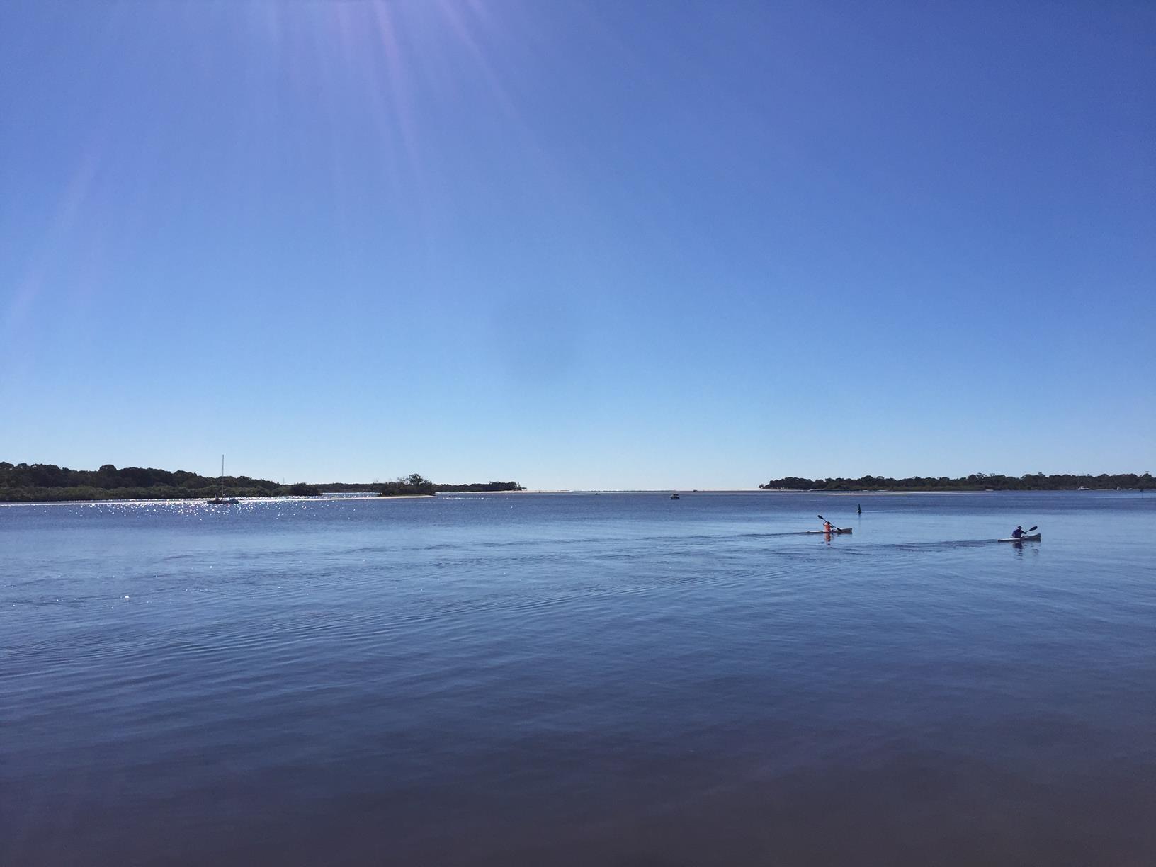
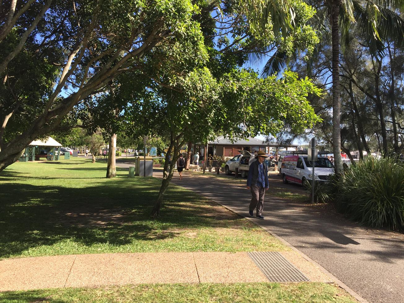
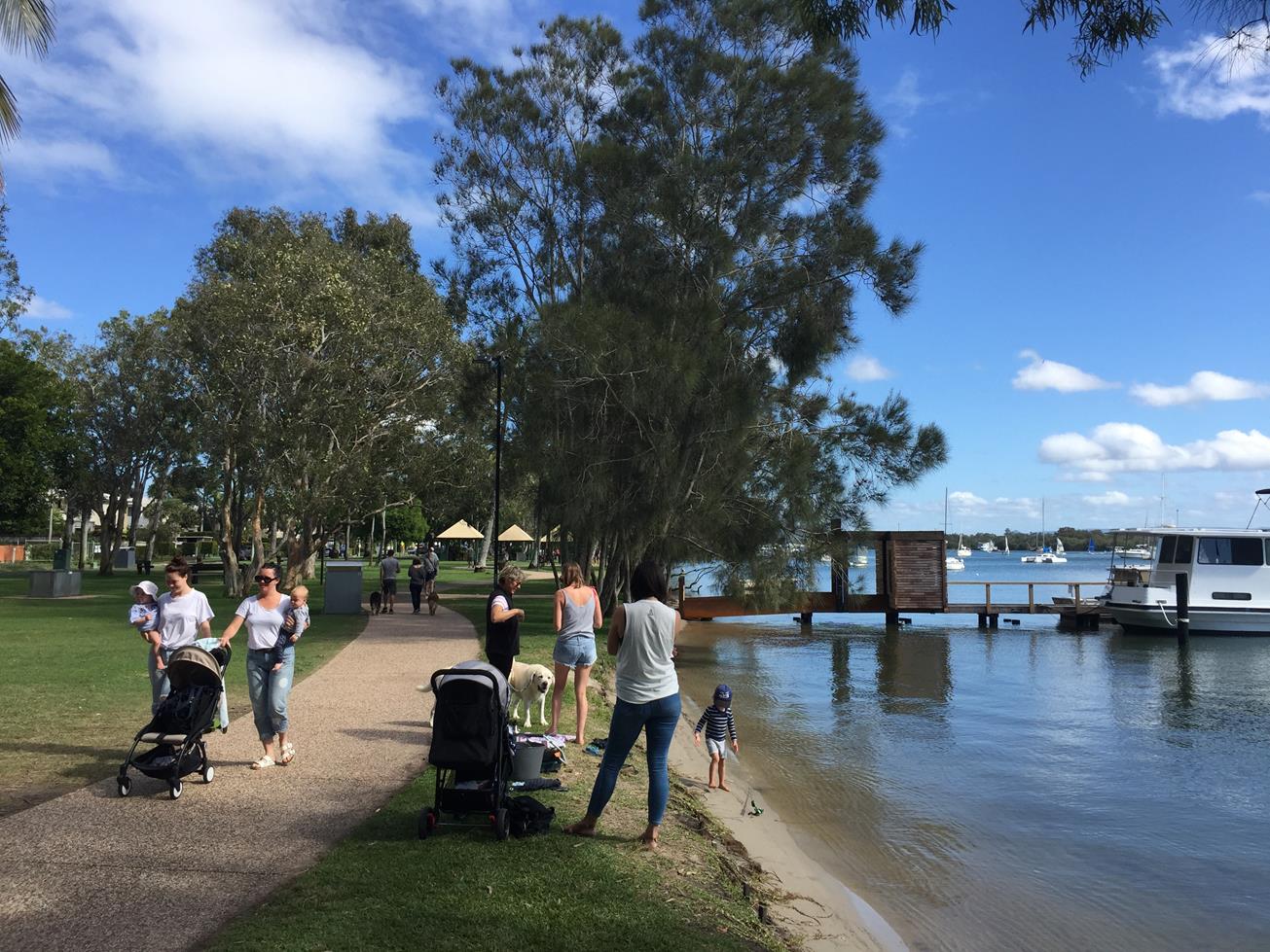
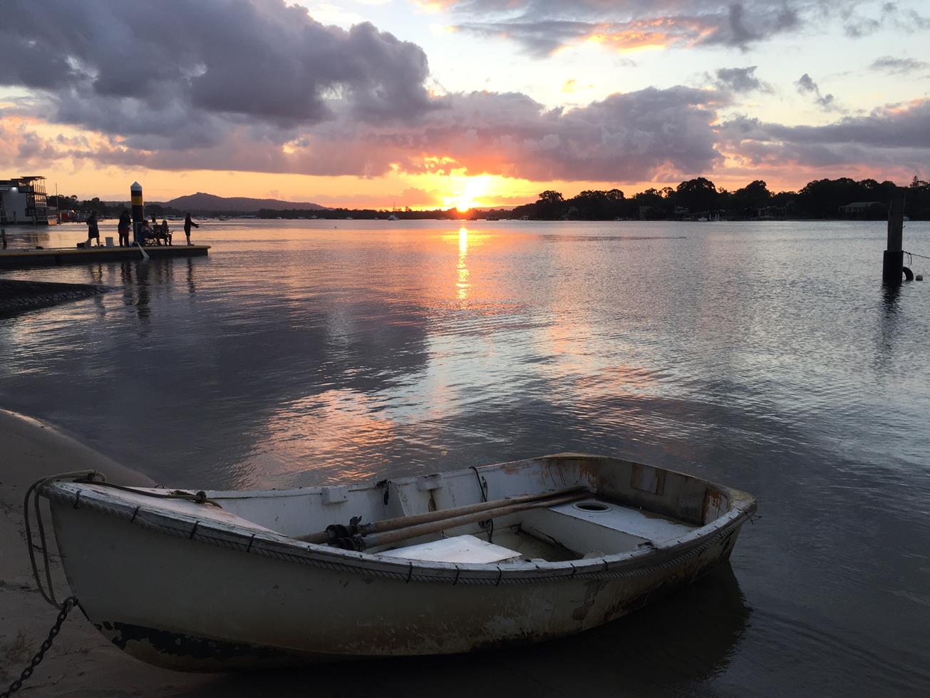
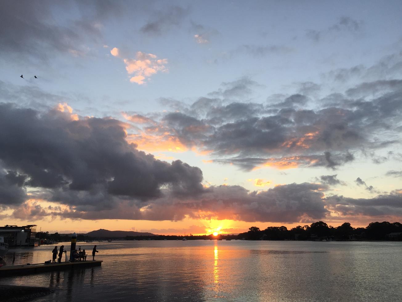
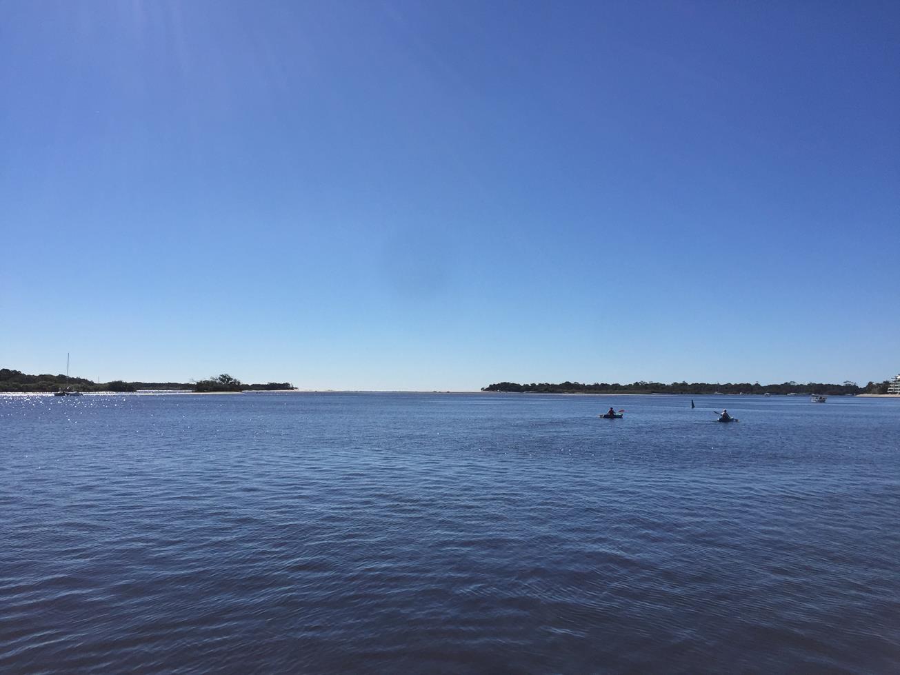
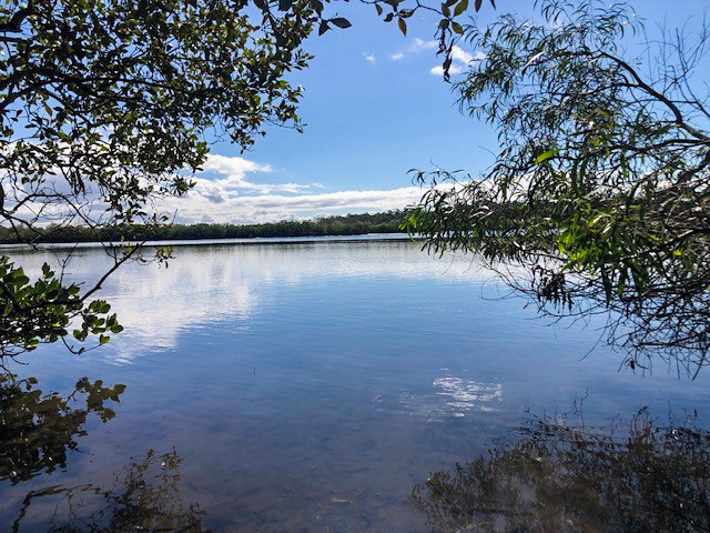
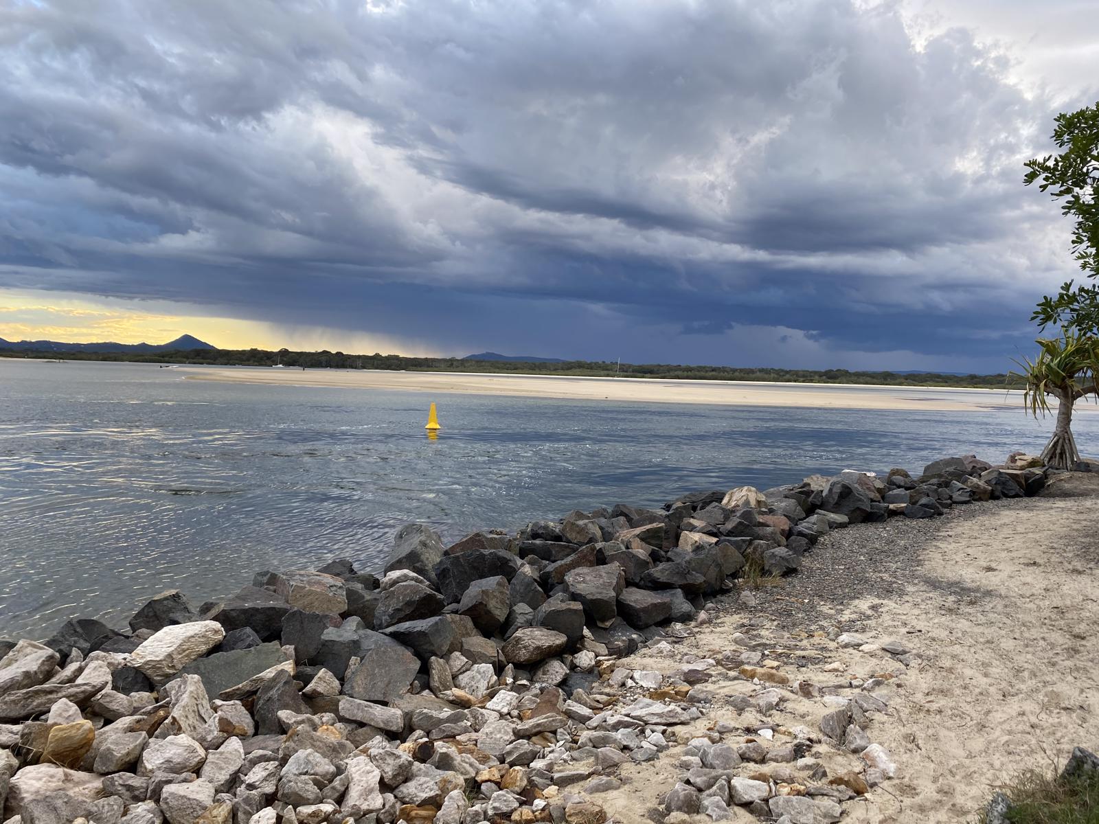
Launching into the Noosa River from the bustling Gympie Terrace, it’s a popular paddle into what’s known as the ‘Frying Pan’ estuary. Leaving Gympie Terrace paddle downstream towards the mouth of the Noosa River and head over to your left hand side. There you are likely to see large sea eagles, pelicans and many other wonderful wildlife in and around the water. There are several sand islands but best to avoid landing to reduce impact on birds. This stretch does get quite busy, and is subject to severe tidal currents. Check the tide times and wind direction are favourable. Camping is nearby at Munna Point.

AFTERWARDS
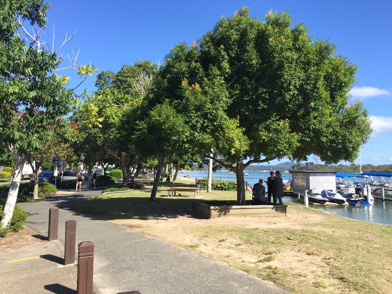
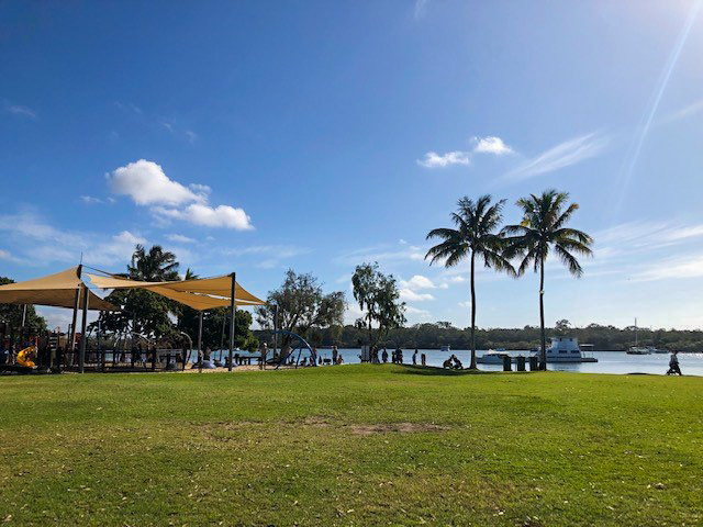
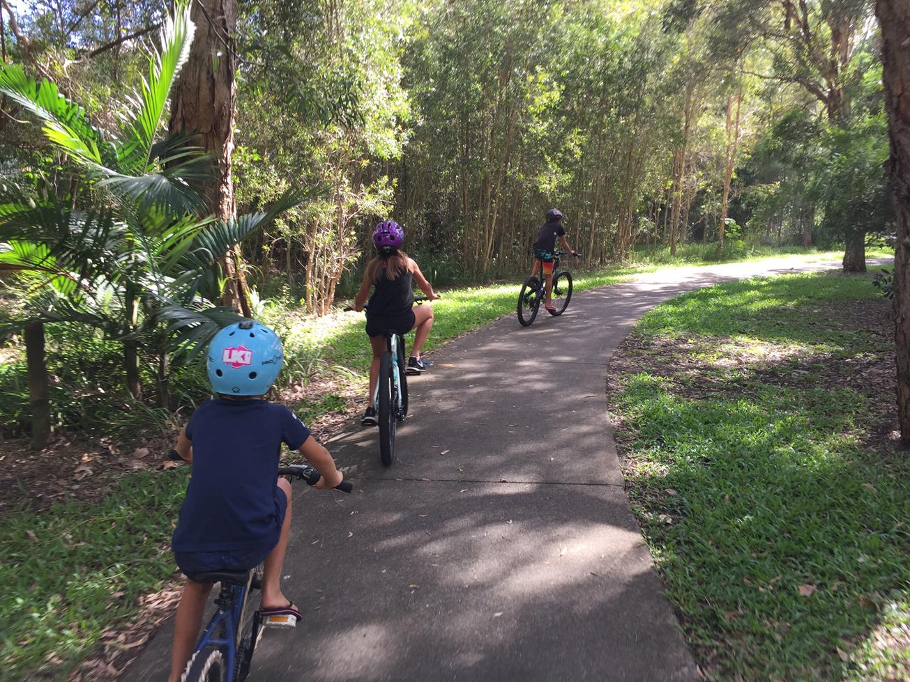
There is plenty to take in along Gympie Terrace whether you choose to walk it or bike ride beside the river. Shops abound from cafes and gelati to fish and chips.

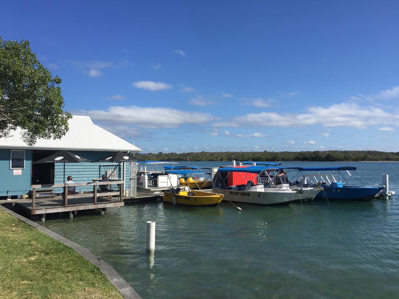
You can hire kayaks at Kayak Noosa located at the front of the Boat House on Gympie Terrace, between Thomas Streets and The Cockleshell Street.

Want to lay back after your paddle? Then jump on board the Noosa Ferry and ride the river up and back.

If you want to be more adventurous take a hike up nearby Mt Tinbeerwah for sights over Noosa. Alternatively head up the Noosa lookout or into the famous Noosa National Park to stretch your legs where you might spot a koala or goanna or two!

HOW TO GET THERE
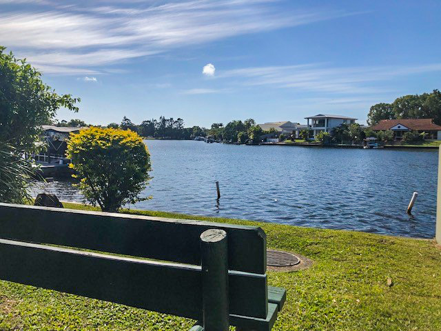
To the starting point: Launch your kayak at Noosaville Boat Ramp on Gympie Terrace (located opposite Albert Street) and adjacent to the floating Boat House. Alternatively, you can launch on much of the beach of the Noosa River along Gympie Terrace. Be mindful that parking is limited especially on weekends.

To the end point: As you will be going out and back you will finish at the same location.

glossary button
Glossary
  • Icon showing this activity is suitable for wheelchairsSuitable for wheelchairs
  • Icon showing this activity is suitable for walkingSuitable for walking
  • Icon showing this activity is suitable for recreational cyclingSuitable for recreational cycling
  • Icon showing this activity is suitable for mountain bikingSuitable for mountain biking
  • Icon showing this activity is suitable for horse ridingSuitable for horse riding
  • Icon showing this activity is suitable for kayakingSuitable for kayaking
  • Icon showing this activity has drinking water availableDrinking water available
  • Icon showing this activity does not have drinking water availableNo drinking water available
  • Icon showing this activity has a barbeque on siteBarbeque on site
  • Icon showing this activity has a picnic table on sitePicnic table on site
  • Icon showing this activity has toilets on siteToilets on site
  • Icon showing fires are permitted at this activityFires permitted
  • Icon showing fires are prohibited at this activityFires prohibited
  • Icon showing camping is permitted at this activityCamping permitted
  • Icon showing camping is prohibited at this activityCamping prohibited
  • suitable for kayaking suitable for kayaking Suitable for kayaking
  • Drinking water available Drinking water available Drinking water available
  • barbeque on site barbeque on site Barbeque on site
  • Picnic table on site Picnic table on site Picnic table on site
  • toilets on site toilets on site Toilets on site
  • Fires prohibited Fires prohibited Fires prohibited
  • Camping permitted Camping permitted Camping permitted
Write a review

Be the first to review this trail.

hazard icon

IN AN EMERGENCY DIAL '000'.

Always Adventure Safely!

  • Always follow any local signage, it contains key information and conditions can change at any time.
  • Use the trails with consideration for your abilities, be prepared for the adventure ahead:
    • Be aware of the weather conditions, found here: http://www.bom.gov.au/qld/.
    • Always wear appropriate clothing, focus on good footwear.
    • Always bring more water than you think you will need.
    • Be Sun Safe!
    • Always let someone know where you are going that isn’t going with you.
  • Just getting started try this site for good useful information: https://www.trailhiking.com.au/hike-safety/
  • Sunshine Coast Council does it’s best to maintain current information but things can change so always be aware that a trail may not be as listed in this guide, and report and issues via our feedback link.

Noosa Council

For any issues with the trail please call: 07 5329 6500

If you think something on the web site needs to change please let us know via: adventure@sunshinecoast.qld.au

Nearby Trails

Trail Image for Noosa: Weyba Creek Track
Easy

Noosa: Weyba Creek Track

walking icon cycling icon
Trail type
difficulty icon
Skill Level

3.3km

Length
direction icon
Circuit
Trail Image for Noosa Spit Recreation Reserve
Easy

Noosa Spit Recreation Reserve

NOOSA HEADS
walking icon cycling icon
Trail type
difficulty icon
Skill Level

2.5km

Length
direction icon
Circuit
Trail Image for Noosa Marina to Gympie Terrace
Easy

Noosa Marina to Gympie Terrace

walking icon
Trail type
difficulty icon
Skill Level

2.5km

Length
direction icon
Circuit
Trail Image for Noosa Yacht Club to Peninsula Park
Easy

Noosa Yacht Club to Peninsula Park

walking icon
Trail type
difficulty icon
Skill Level

2.1km

Length
direction icon
Circuit
Trail Image for Weyba Creek Cycle Loop from Girraween grounds
Easy

Weyba Creek Cycle Loop from Girraween grounds

NOOSA HEADS
walking icon cycling icon
Trail type
difficulty icon
Skill Level

7.3km

Length
direction icon
Circuit

Share this trail

This action requires a login.
To continue, click on Login/Signup below.

Photo uploaded successfully, thank you.

Feedback / Suggest an Adventure

If you have any feedback on the site or any of the trails, please drop us a short email.

Have we missed something? Do you have an adventure to suggest? Fill in the suggestion form to let us know about it.