
If you have any feedback on the site or any of the trails, please drop us a short email.
Suggest an AdventureHave we missed something? Do you have an adventure to suggest? Fill in the suggestion form to let us know about it.

 PDF download in progress
Please wait...


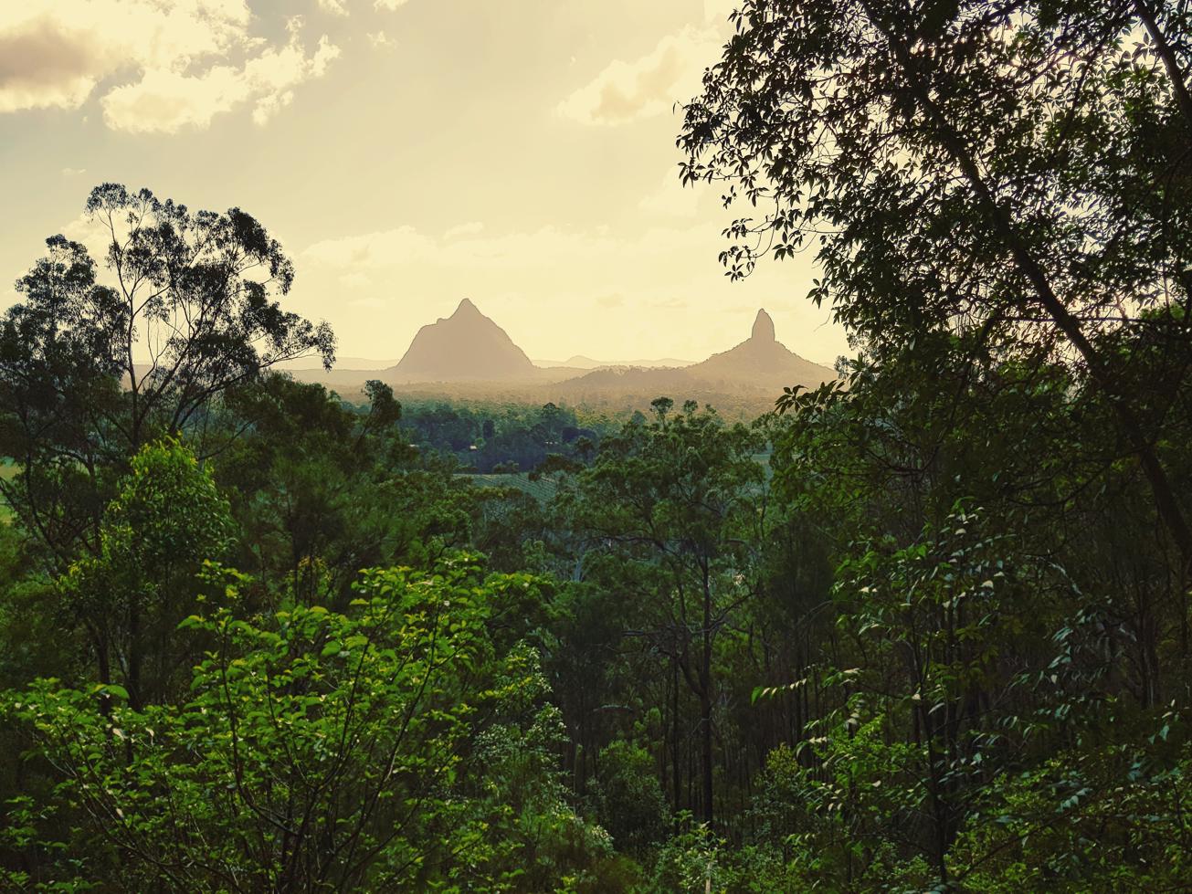
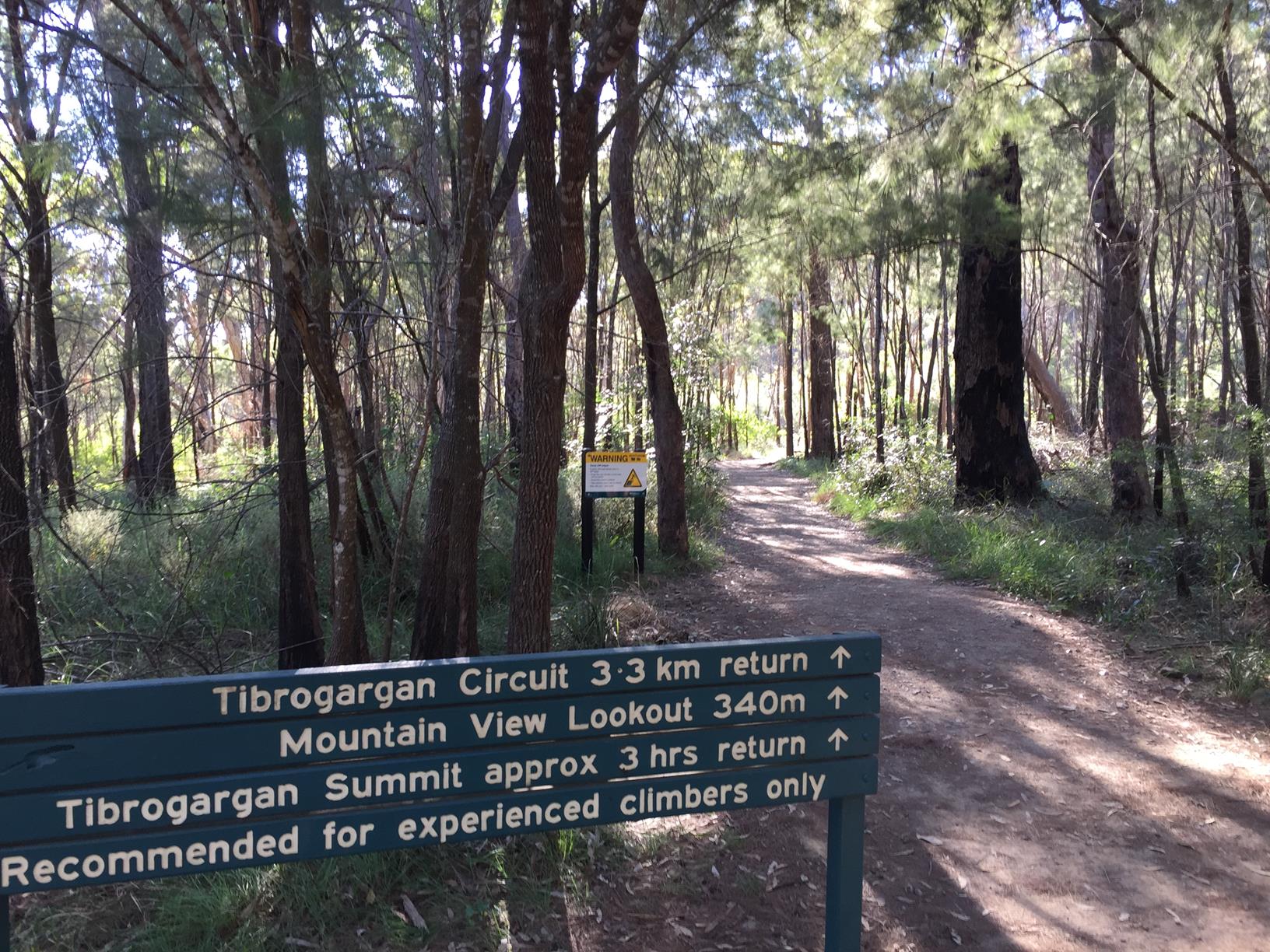
Walk the base circuit of Mount Tibrogargan and delight in this well crafted track with views.
SUITABILITY
Suitable for walkers, not too much elevation.
HIGHLIGHTS
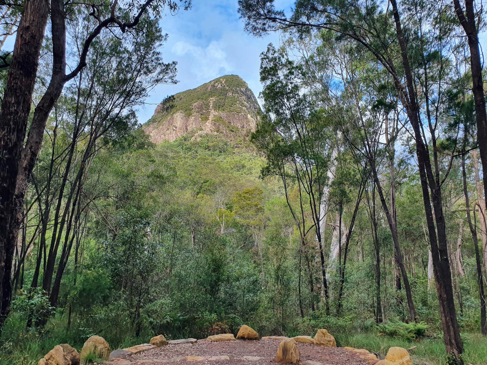
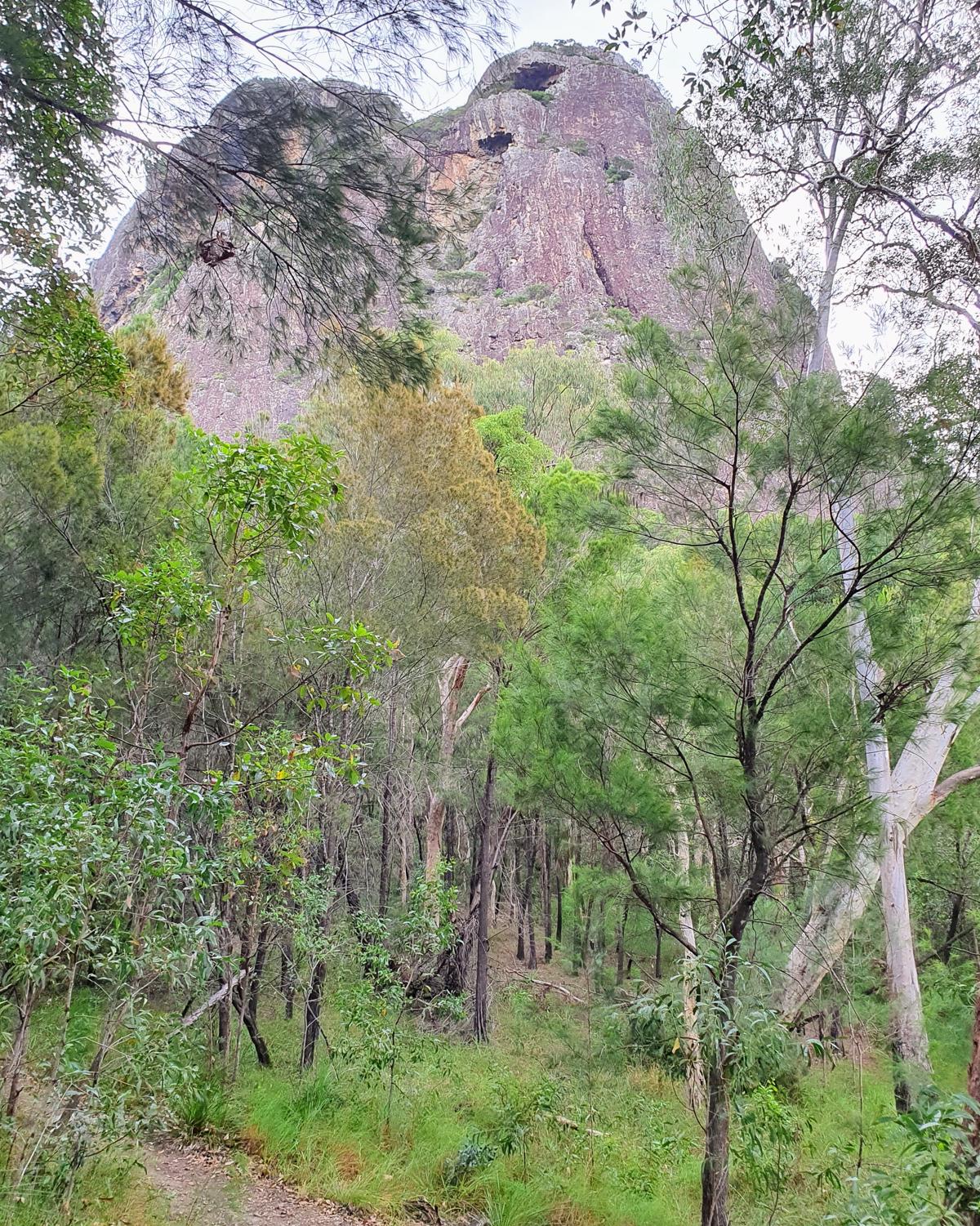
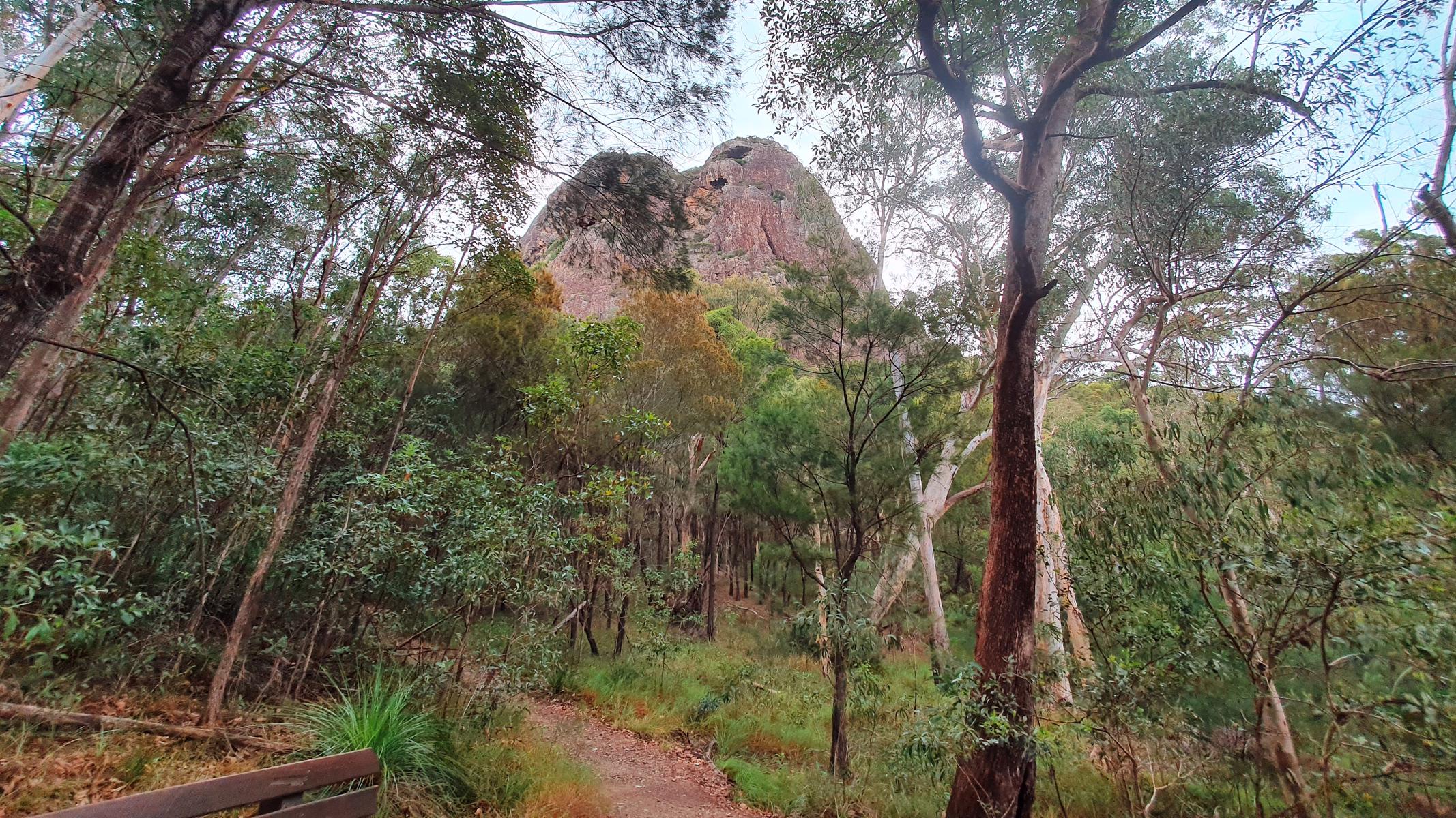
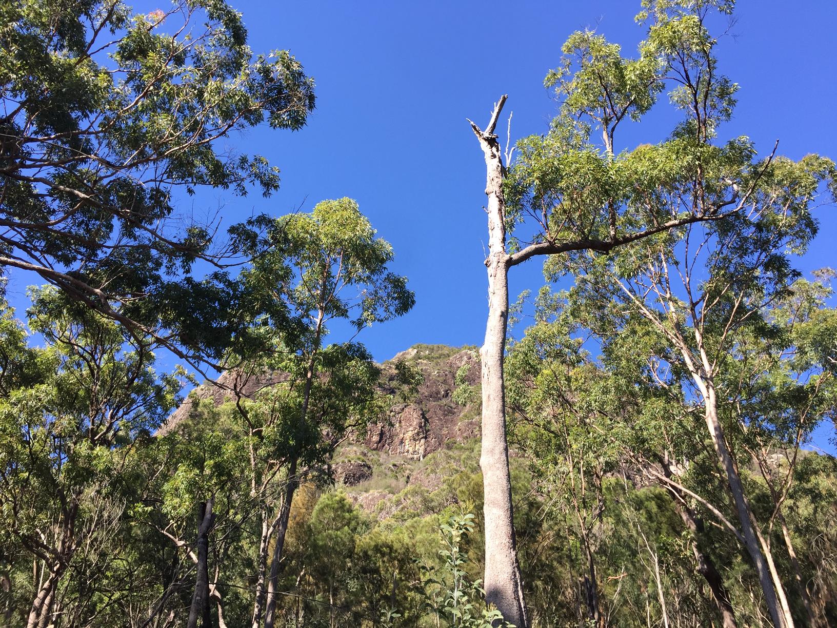
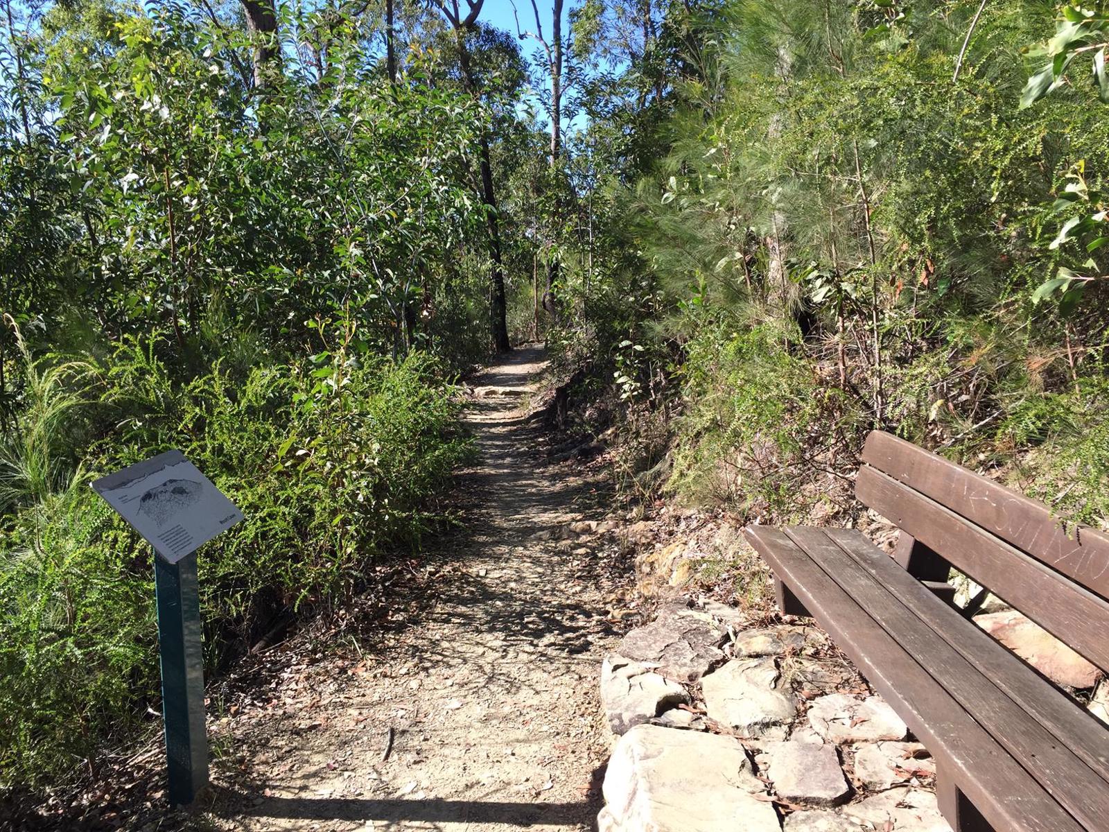
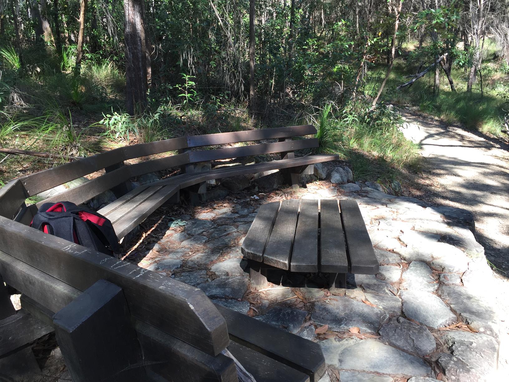
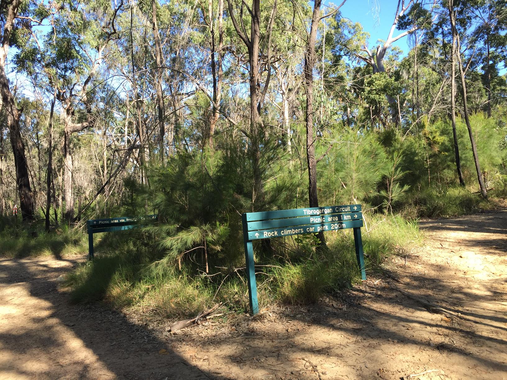
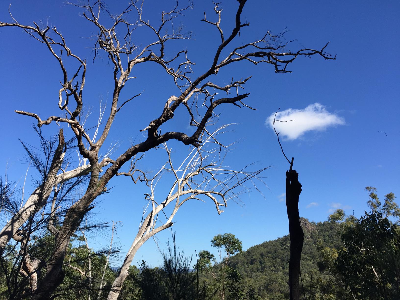
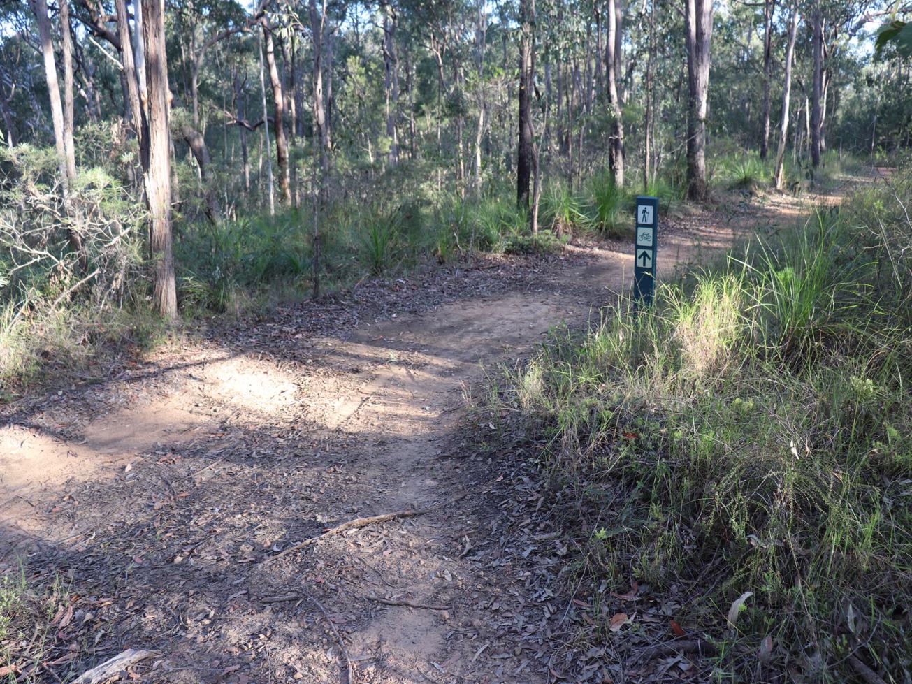
This walk through open eucalypt and casuarina woodland will best reward you in mornings, or evenings when the sheer rock cliffs of the mountains are highlighted. Tibrogargan’s giant face gazes eastward, and can take on different moods at different times. Right below it there is a rest stop to sit back and absorb his countenance.
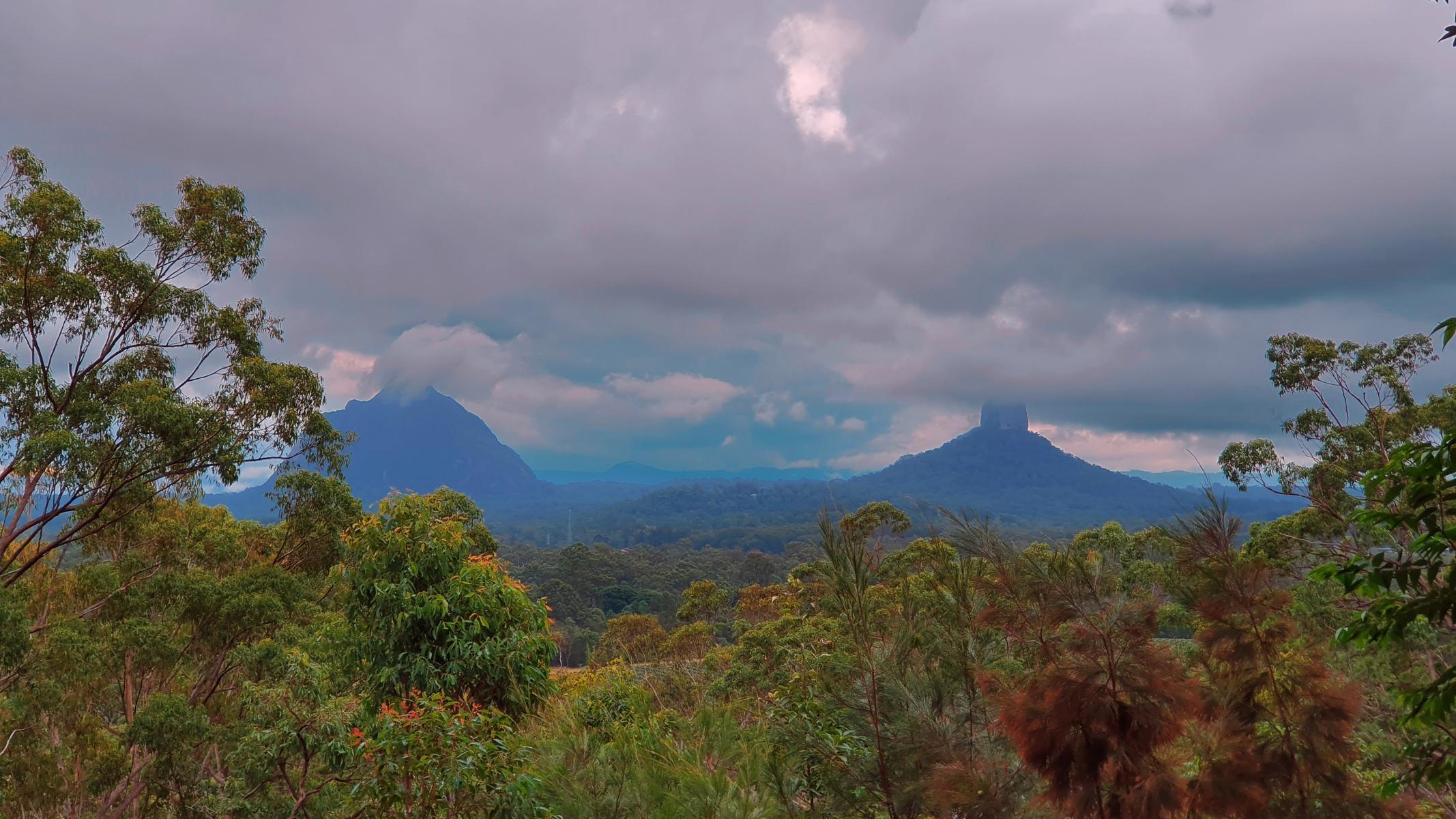
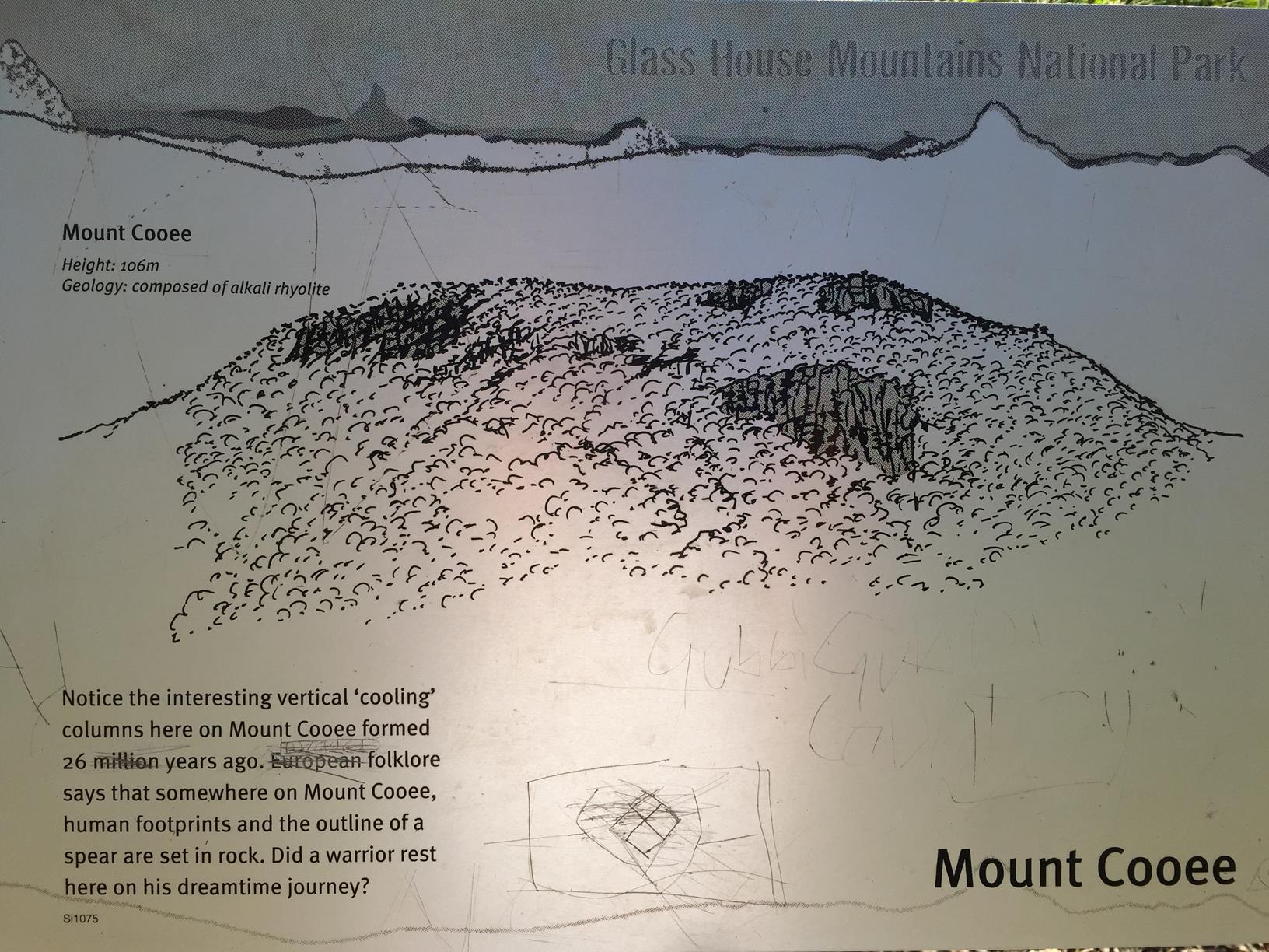
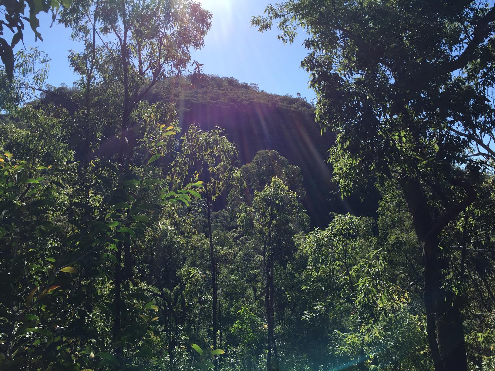
There is a mountain view lookout on the back of the mountain. As well, some surrounding mountains such as Cooee and Tiberwoowuccum are glimpsed from different sections of the track.
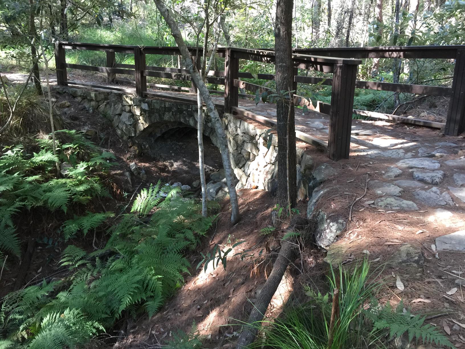
The care taken to construct the trail is evident in the crafted rock arch bridges. All in all probably the Number 1 non-summit walk of the famous Glasshouse Mountains.
AFTERWARDS
If you are feeling particularly energetic you can do the longer Trachyte Circuit or walk to and back from the Intepretive Centre in the town of Glass House Mountains. Each outing will add approximately 6 km to your day.
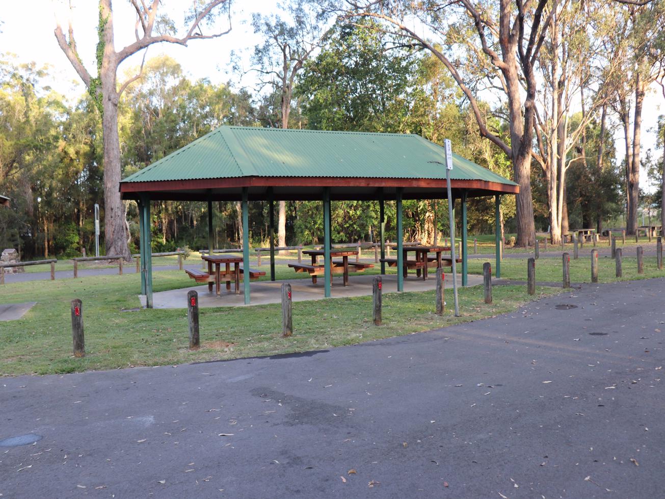
Otherwise pop in your car and drive to the township to visit the information centre and grab a snack in town at the various offerings available.
HOW TO GET THERE
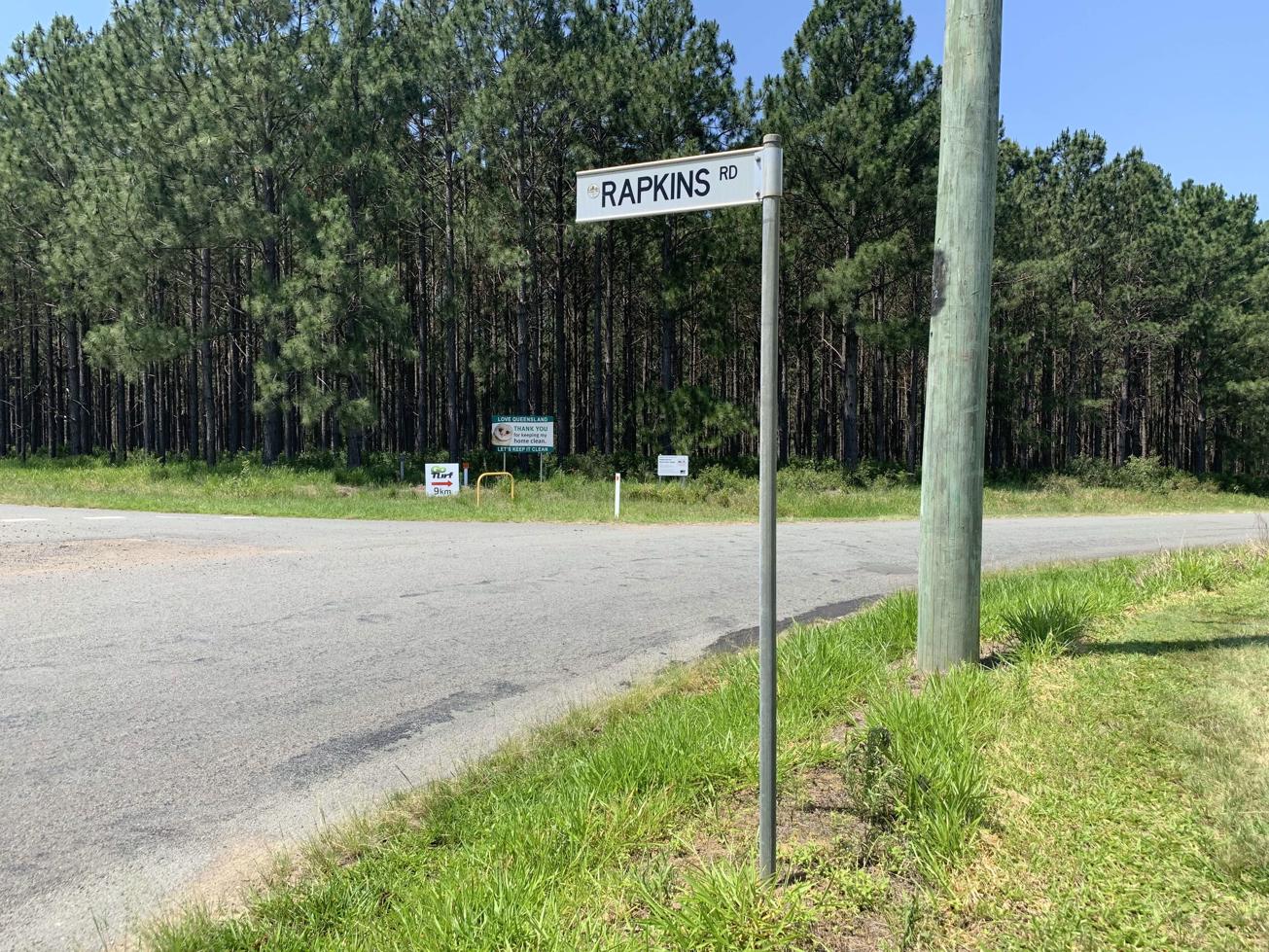
To the starting point: Mount Tibrogargan is located between Beerburrum and Glass House Mountains townships, off Marshs and Barrs Roads.
Head to the township of Glass House Mountains off Steve Irwin Way (off M1). Continue driving south and turn right into into Barrs Road, which meets the car park entrance at Marshs Road (opposite a dragon fruit farm).
Driving from the South, take the Beerburrum Road off Steve Irwin Way, turn right into Beerburrum Woodford Road and right into Old Gympie Road. Turn right into Marshs Road and the car park will be about 1 km along this road on your right. The walk starts from the car pack.
To the end point: The end point is the same as your starting point.
Review Date: 18/07/2021
Reviewed By: Katrina
Review Date: 17/05/2019
Reviewed By: Michelle
Review Date: 07/04/2019
Reviewed By: Bethany
Review Date: 02/11/2018
Reviewed By: Adam
IN AN EMERGENCY DIAL '000'.
Always Adventure Safely!
Qld Parks and Wildlife Service
National Parks, Conservation Parks and some State Forests are managed by Queensland Parks and Wildlife Service. Contact details are: https://www.des.qld.gov.au/contactus/
For current information on trail conditions and alerts go to https://parks.des.qld.gov.au/park-alerts/#sunshinecoast
If you think something on this web site needs to change please let us know via: adventure@sunshinecoast.qld.gov.au
This action requires a login.
To continue, click on Login/Signup below.
 loading...
Photo uploaded successfully, thank you.
If you have any feedback on the site or any of the trails, please drop us a short email.
Suggest an AdventureHave we missed something? Do you have an adventure to suggest? Fill in the suggestion form to let us know about it.