facebook
Image showing that the PDF download is in progress... PDF download in progress

Please wait...

Image showing a pink decorative paint splat
Image showing a green decorative paint splat
upload photo button

NOTE: This adventure is in Glass House Mountains National Park for current Queensland Parks and Wildlife Service parks information, maps and essential park alerts click here

reviews buttonReviews view map buttonMap
view 3d map button3D Map
directions take me there buttonDirections
Save
PDF
Gpx File

Glass House Mountains National Park: Soldier Settlers Loop

Glass House Mountains National Park: Soldier Settlers Loop
Beerburrum
walking icon walking icon black mountain biking icon mountain biking icon black
Trail type
difficulty icon
Skill Level
8.5km
Length
direction icon direction icon black
Circuit

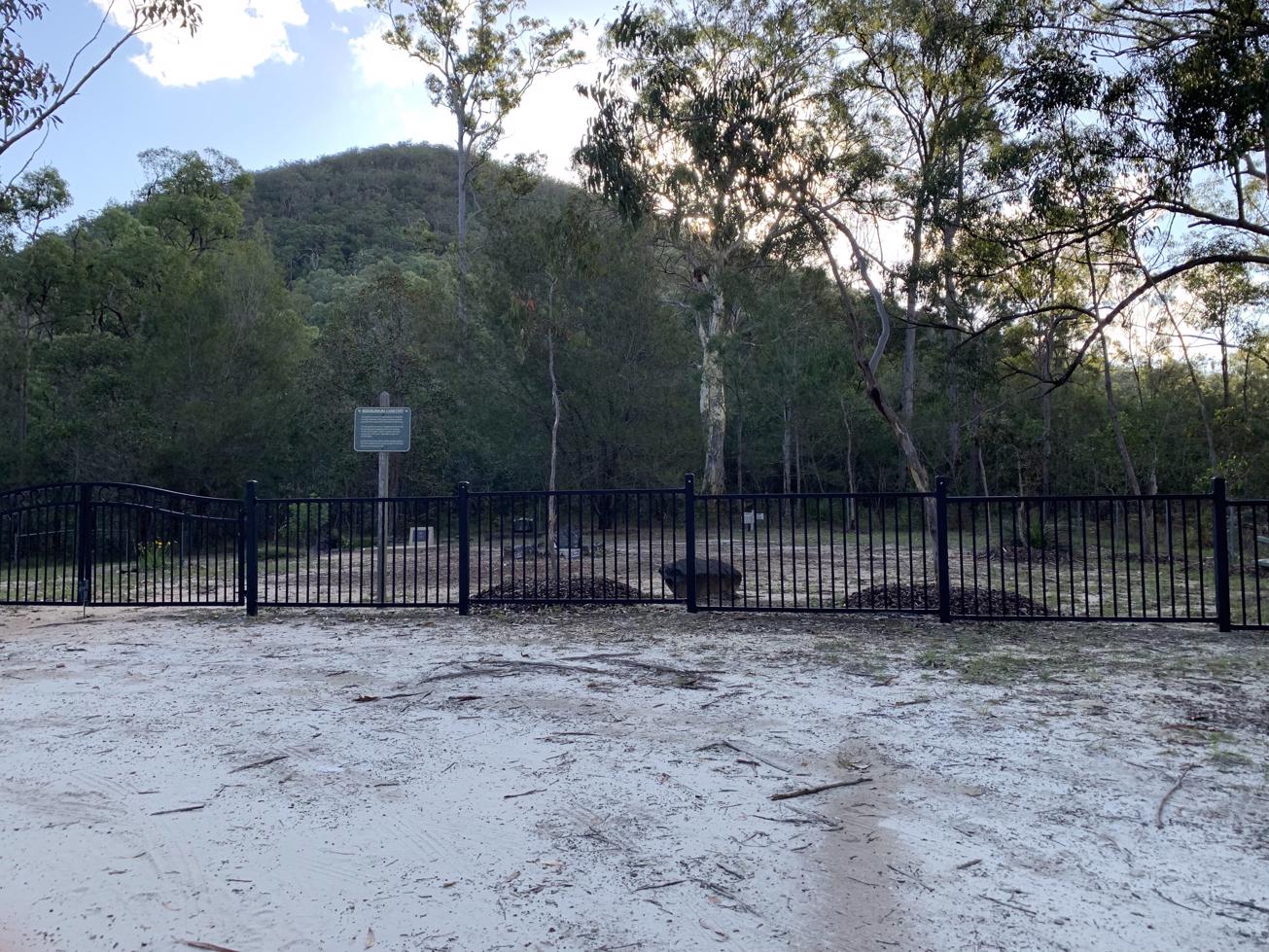
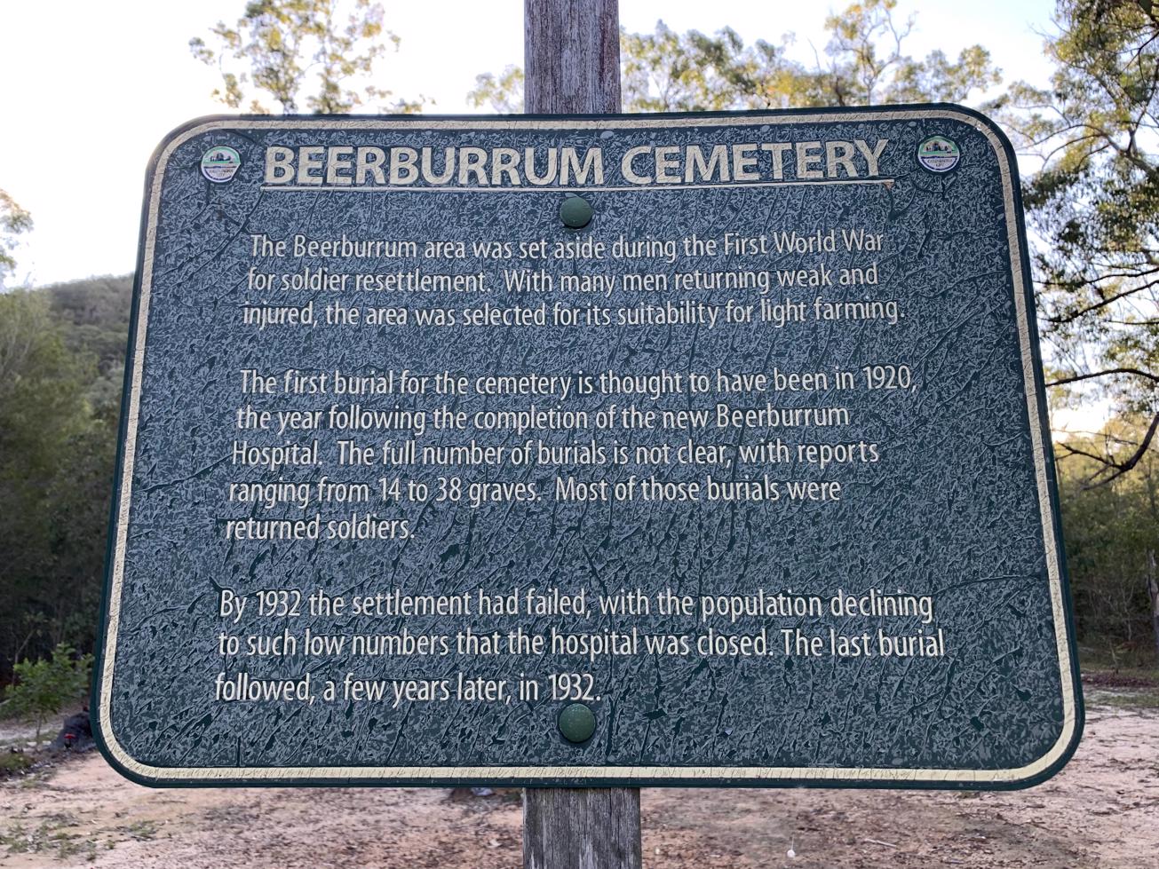
A great mostly flat circuit take takes in the old Beerburrum Cemetry, views of Tibrogargan and native birdlife.

SUITABILITY
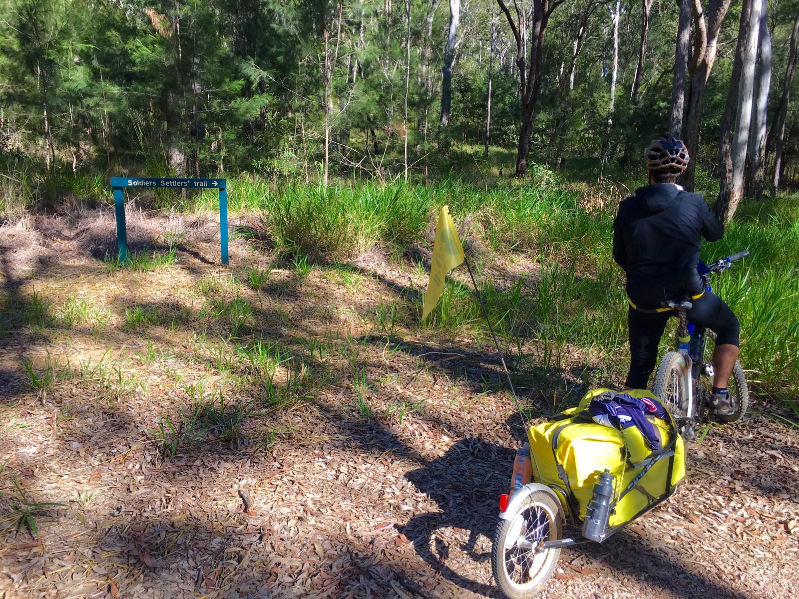
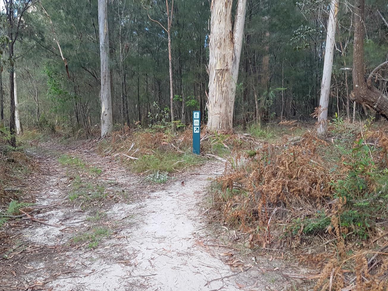
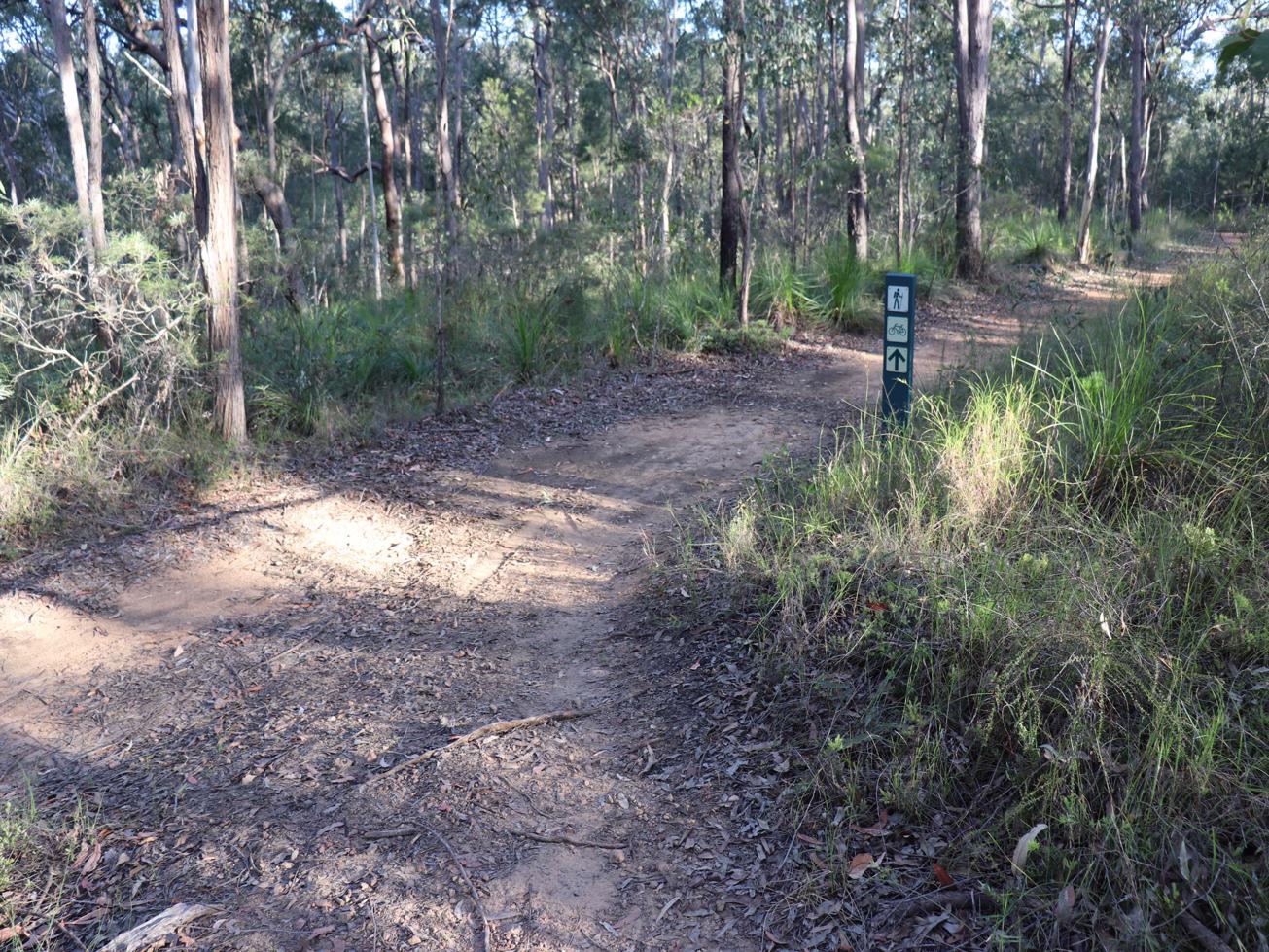
Suitable for walkers and mountain bikers.

HIGHLIGHTS
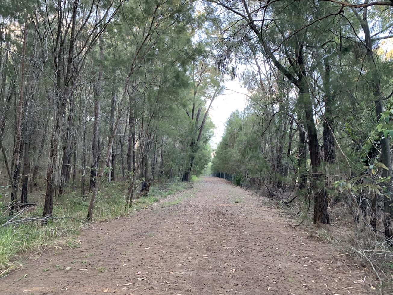
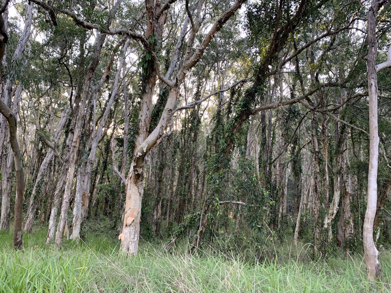
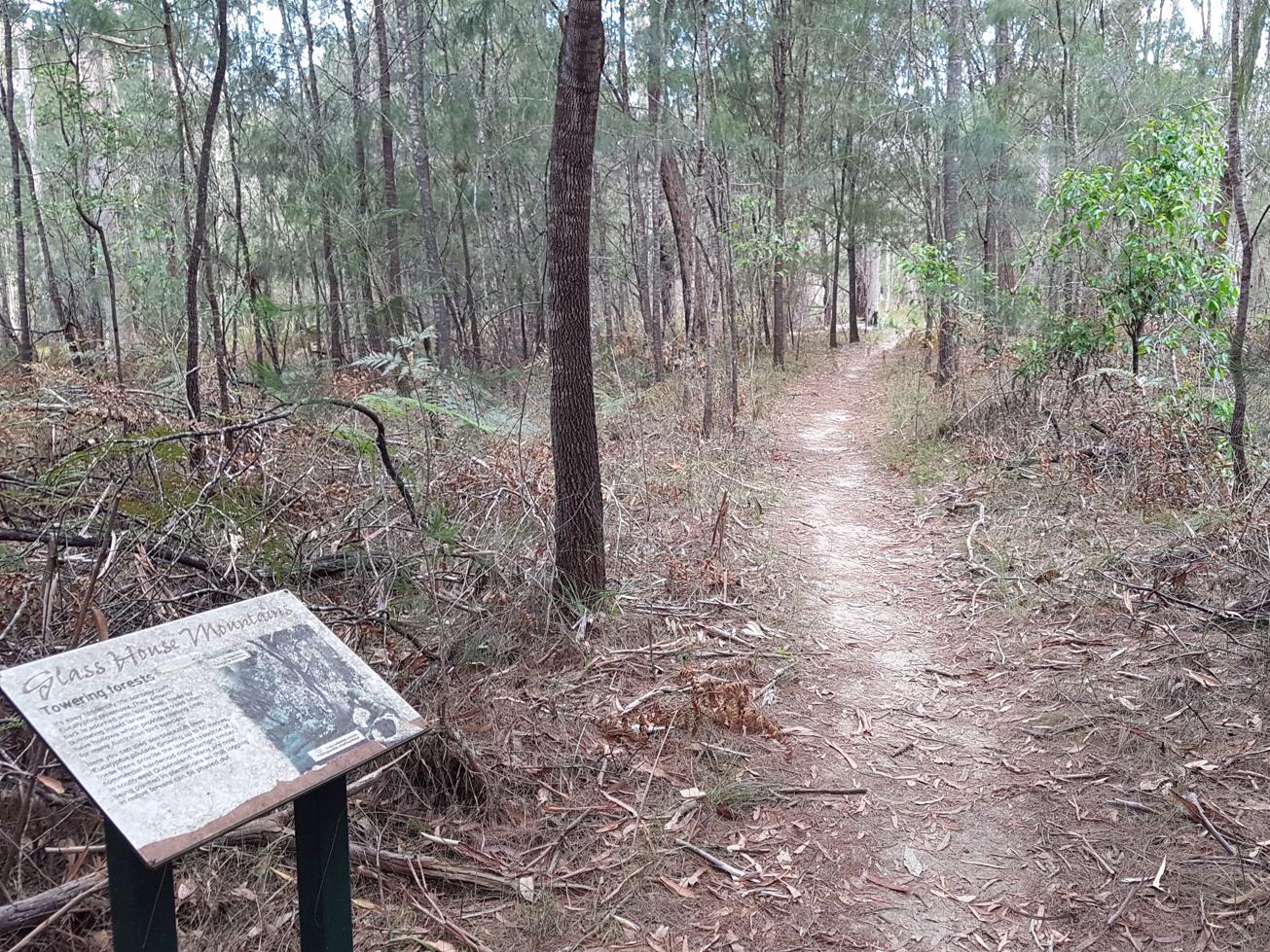
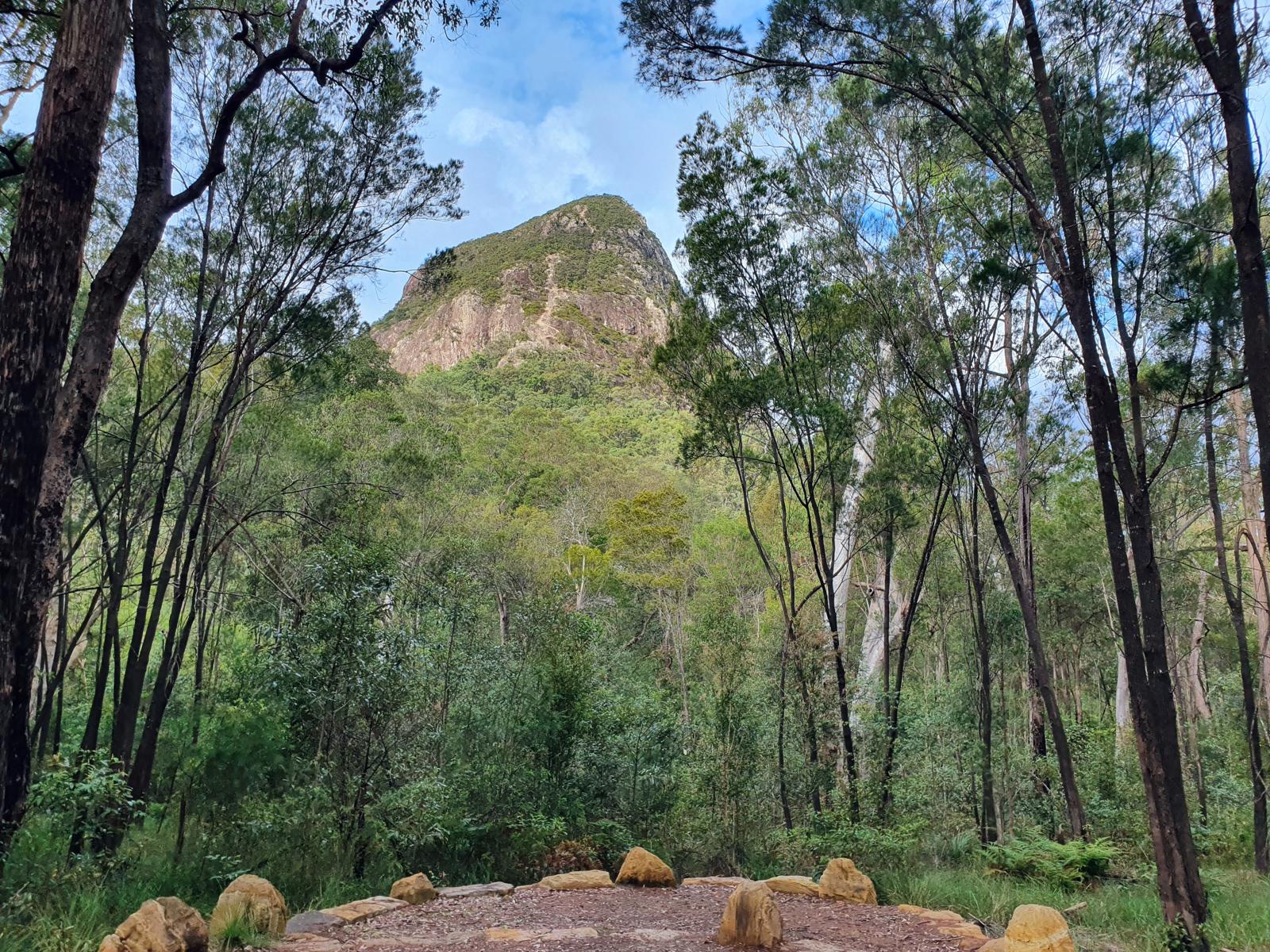
This is a wonderful, mostly flat circuit that offers good views of Glass House Mountain peaks above, with usually a lot less people along the way and an easier access route. If you do this walk late in the afternoon or early in the morning, around this section you are likely to come across large flocks of Black cockatoos.

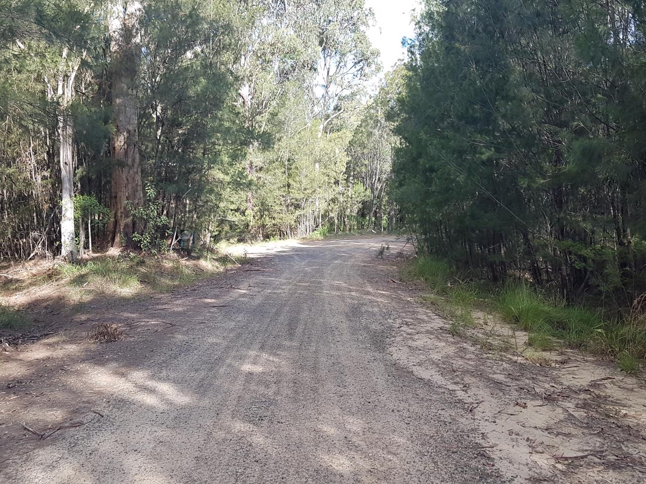
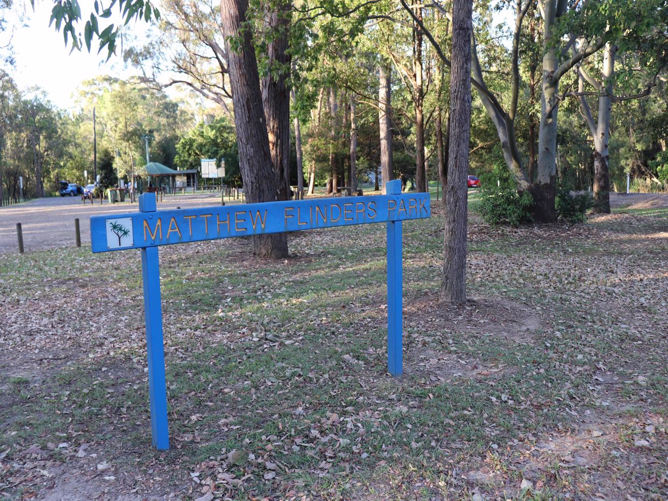
Make sure to pop up to Jack Ferris Lookout as the views of the local mountains are well worth it and it is a view well earned by the journey here. Drop down off the lookout and you will leave the park along Caves road to Mathew Flinders Park and the return path heads south along Steve Irwin Way back to Beerburrum and your train or car.

AFTERWARDS
While you are in this area, the Dularcha Tunnel is worth an explore. It runs between Landsborough and Mooloolah. Ewen Maddock Dam Main Track is a great walk and mountain bike as well.

HOW TO GET THERE
To the starting point: Heading South (or north) on Steve Irwin Way turn west into Beerburrum Road. You will immediately cross over the railway line and find Parrot Park on the right. You can park your car here or continue on a short way and turn right into the school’s carpark, where you see a blue cemetery sign.

This walk effectively starts and ends in Beerburrum, (either at Parrot Park or the School car park). It can be done in either direction. The description is for the going clockwise from your starting point.

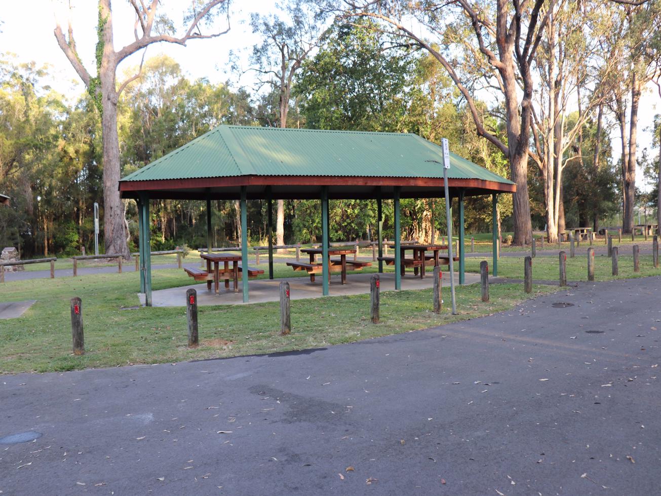
There are toilets in Beerburrum at Parrot Park and at Matthew Flinders Park on Steve Irwin Way. Take drinking water with you.

To the end point. It’s the same as your starting point.

glossary button
Glossary
  • Icon showing this activity is suitable for wheelchairsSuitable for wheelchairs
  • Icon showing this activity is suitable for walkingSuitable for walking
  • Icon showing this activity is suitable for recreational cyclingSuitable for recreational cycling
  • Icon showing this activity is suitable for mountain bikingSuitable for mountain biking
  • Icon showing this activity is suitable for horse ridingSuitable for horse riding
  • Icon showing this activity is suitable for kayakingSuitable for kayaking
  • Icon showing this activity has drinking water availableDrinking water available
  • Icon showing this activity does not have drinking water availableNo drinking water available
  • Icon showing this activity has a barbeque on siteBarbeque on site
  • Icon showing this activity has a picnic table on sitePicnic table on site
  • Icon showing this activity has toilets on siteToilets on site
  • Icon showing fires are permitted at this activityFires permitted
  • Icon showing fires are prohibited at this activityFires prohibited
  • Icon showing camping is permitted at this activityCamping permitted
  • Icon showing camping is prohibited at this activityCamping prohibited
  • Suitable for walking Suitable for walking black lines Suitable for walking
  • Suitable for mountain biking Suitable for mountain biking Suitable for mountain biking
  • No drinking water available No drinking water available No drinking water available
  • Fires prohibited Fires prohibited Fires prohibited
  • Camping prohibited Camping prohibited Camping prohibited
Write a review

Review Date: 30/05/2019

Started Mountain biking with my 2 boys a couple of months ago. This was our first track and we loved it!! Definitely got us hooked to explore more. Perfect for the whole family to enjoy.

Reviewed By: Kristie

Review Date: 27/05/2019

Glass House Mountains National Park: Soldier Settlers Loop Being a Local Sunshine Coast resident, I was looking for somewhere new, the website was perfect offering many locations to explore, and very easy to use. Track condition was excellent with my partner mentioning how well maintained it was. Whilst exploring this pristine Australian bush, you can’t ignore the majestic Tibrogargan and Crook neck Mountains in the the distance. With a casual Sunday stroll in mind the website helped in the decision making and guided us to the perfect trail.

Reviewed By: Greta

Review Date: 01/04/2019

We did this walk on the 1st of April 2019. It was a fantastic walk with lots of varied native and rainforest bushland and heathland. There are clearly signed walking/cycling tracks so you don’t have to look over your shoulder every time you hear a lead rustle and the cyclists can have their own space to navigate. My best advice is to pace yourself and bring a small snack, plenty of water and absolutely pack some insect repellent as there were 4+ Mosquitoes on us at every moment until we sprayed, though it had rained for the week prior to today and there was standing water off the track for some of the walk. The fire trail is probably 2 - 3kms into the walk so don’t be worried when you don’t walk straight upon it as in the guide/description - the fire trail is toward the end of the walk and links you back to the main road. Towards the end of the walk on Caves Road you come across a fork in the road, stay Right as to the Left is private property and you will miss the Orchard (we doubled back) and it is not signed. The Caves Road/Caves Lane intersection IS signed. After Matthew Flinders Park on Old North Coast Road heading back towards Beerburrum you walk very close to the shoulder of Steve Irwin Way which can feel intimidating with the amount of heavy vehicles passing by and no safety barricade. You also cross Beerburrum road to cross the bridge over the railway, then cross over Beerburrum road again to get to the carpark at the start of the walk, which I think would be better with a pedestrian footpath on both sides of the bridge. Overall a great day and we will be revisiting it regularly as part of our hiking rotation.

Reviewed By: Mitch

hazard icon

IN AN EMERGENCY DIAL '000'.

Always Adventure Safely!

  • Always follow any local signage, it contains key information and conditions can change at any time.
  • Use the trails with consideration for your abilities, be prepared for the adventure ahead:
    • Be aware of the weather conditions, found here: http://www.bom.gov.au/qld/.
    • Always wear appropriate clothing, focus on good footwear.
    • Always bring more water than you think you will need.
    • Be Sun Safe!
    • Always let someone know where you are going that isn’t going with you.
  • Just getting started try this site for good useful information: https://www.trailhiking.com.au/hike-safety/
  • Sunshine Coast Council does it’s best to maintain current information but things can change so always be aware that a trail may not be as listed in this guide, and report and issues via our feedback link.

Qld Parks and Wildlife Service

National Parks, Conservation Parks and some State Forests are managed by Queensland Parks and Wildlife Service. Contact details are: https://www.des.qld.gov.au/contactus/

For current information on trail conditions and alerts go to https://parks.des.qld.gov.au/park-alerts/#sunshinecoast

If you think something on this web site needs to change please let us know via: adventure@sunshinecoast.qld.gov.au

Nearby Trails

Trail Image for Glass House Mountains National Park: Trachyte Circuit
Intermediate

Glass House Mountains National Park: Trachyte Circuit

Beerburrum
walking icon
Trail type
difficulty icon
Skill Level

6.4km

Length
direction icon
Circuit
Trail Image for Glass House Mountains National Park: Yul-yan-man Track
Difficult

Glass House Mountains National Park: Yul-yan-man Track

Beerburrum
walking icon
Trail type
difficulty icon
Skill Level

9.2km

Length
direction icon
Circuit
Trail Image for Glass House Mountains National Park: Mathew Flinders Park to Jack Ferris Lookout
Easy

Glass House Mountains National Park: Mathew Flinders Park to Jack Ferris Lookout

Beerburrum
walking icon
Trail type
difficulty icon
Skill Level

4.4km

Length
direction icon
One-way
Trail Image for Glass House Mountains National Park: Mt Beerburrum Summit Walk
Difficult

Glass House Mountains National Park: Mt Beerburrum Summit Walk

Beerburrum
walking icon
Trail type
difficulty icon
Skill Level

1.7km

Length
direction icon
One-way
Trail Image for Glass House Mountains National Park: Tibrogargan Circuit
Intermediate

Glass House Mountains National Park: Tibrogargan Circuit

Glass House Mountains
walking icon
Trail type
difficulty icon
Skill Level

4.6km

Length
direction icon
Circuit

Share this trail

This action requires a login.
To continue, click on Login/Signup below.

Photo uploaded successfully, thank you.

Feedback / Suggest an Adventure

If you have any feedback on the site or any of the trails, please drop us a short email.

Have we missed something? Do you have an adventure to suggest? Fill in the suggestion form to let us know about it.