facebook
Image showing that the PDF download is in progress... PDF download in progress

Please wait...

Image showing a pink decorative paint splat
Image showing a green decorative paint splat
upload photo button

NOTE: This adventure is in Mooloolah River National Park for current Queensland Parks and Wildlife Service parks information, maps and essential park alerts click here

reviews buttonReviews view map buttonMap
view 3d map button3D Map
directions take me there buttonDirections
Save
PDF
Gpx File

Mooloolah River National Park: Mooloolah River Circuit

Mooloolah River National Park: Mooloolah River Circuit
Glenview
walking icon walking icon black
Trail type
difficulty icon
Skill Level
0.6km
Length
direction icon direction icon black
Circuit

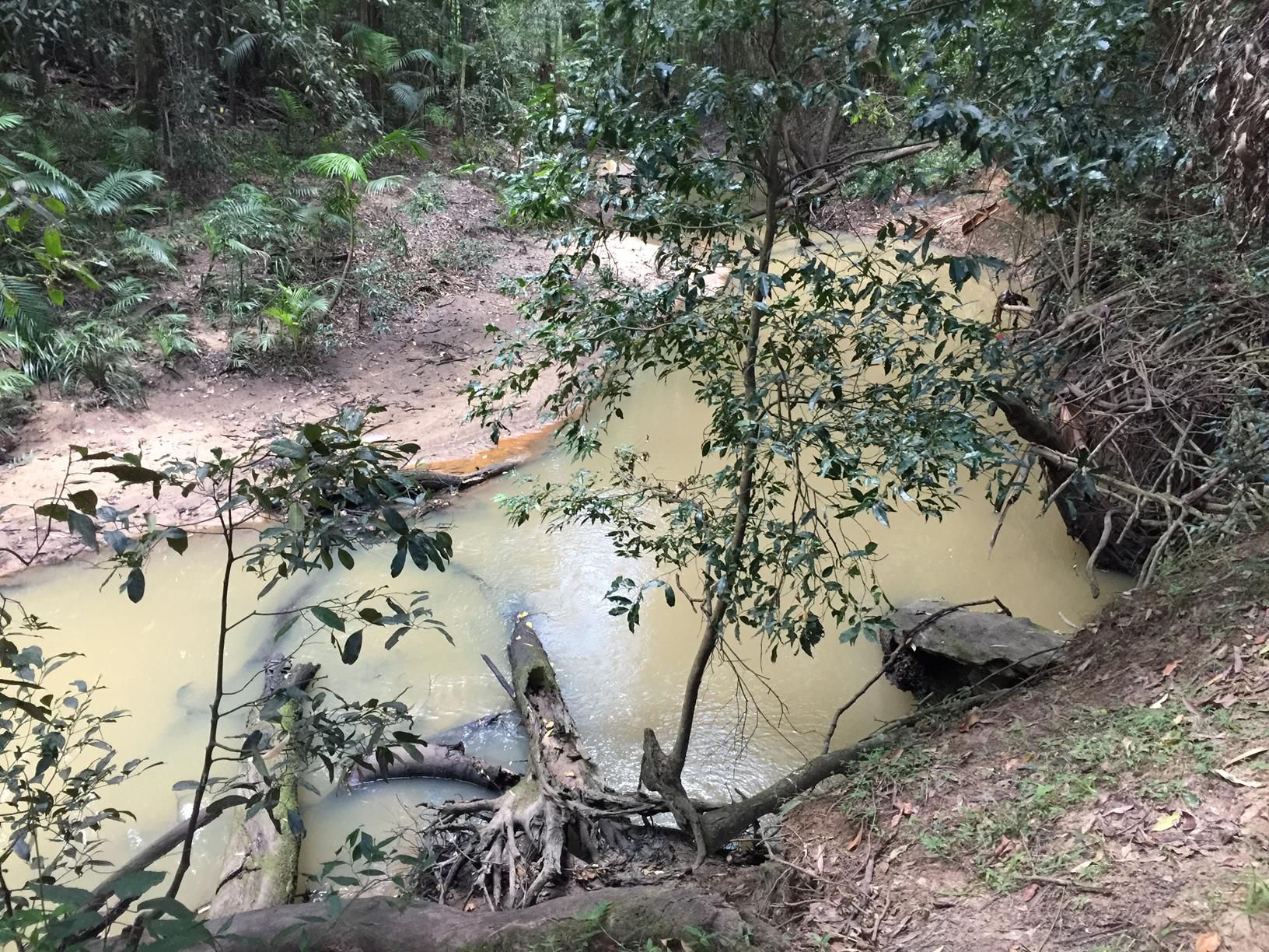
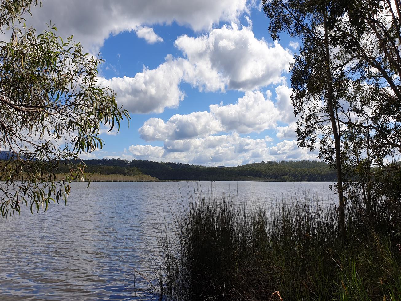
The Jowarra section of Mooloolah River National Park is one of the few remaining coastal rainforest areas and if you are lucky you may see platypus here at the right time of day.

SUITABILITY
An easy bush track suited to all walkers, but rough surfaces mean not for wheelchairs

HIGHLIGHTS
Although Google Maps says Beerwah Forest Reserve the walks here are part of the Jowarra Section of the Mooloolah River National Park. The Jowarra section is an important home for wildlife including the Wompoo pigeon, eastern yellow robin, and the vulnerable Richmond birdwing butterfly, and the ubiquitous bush turkeys
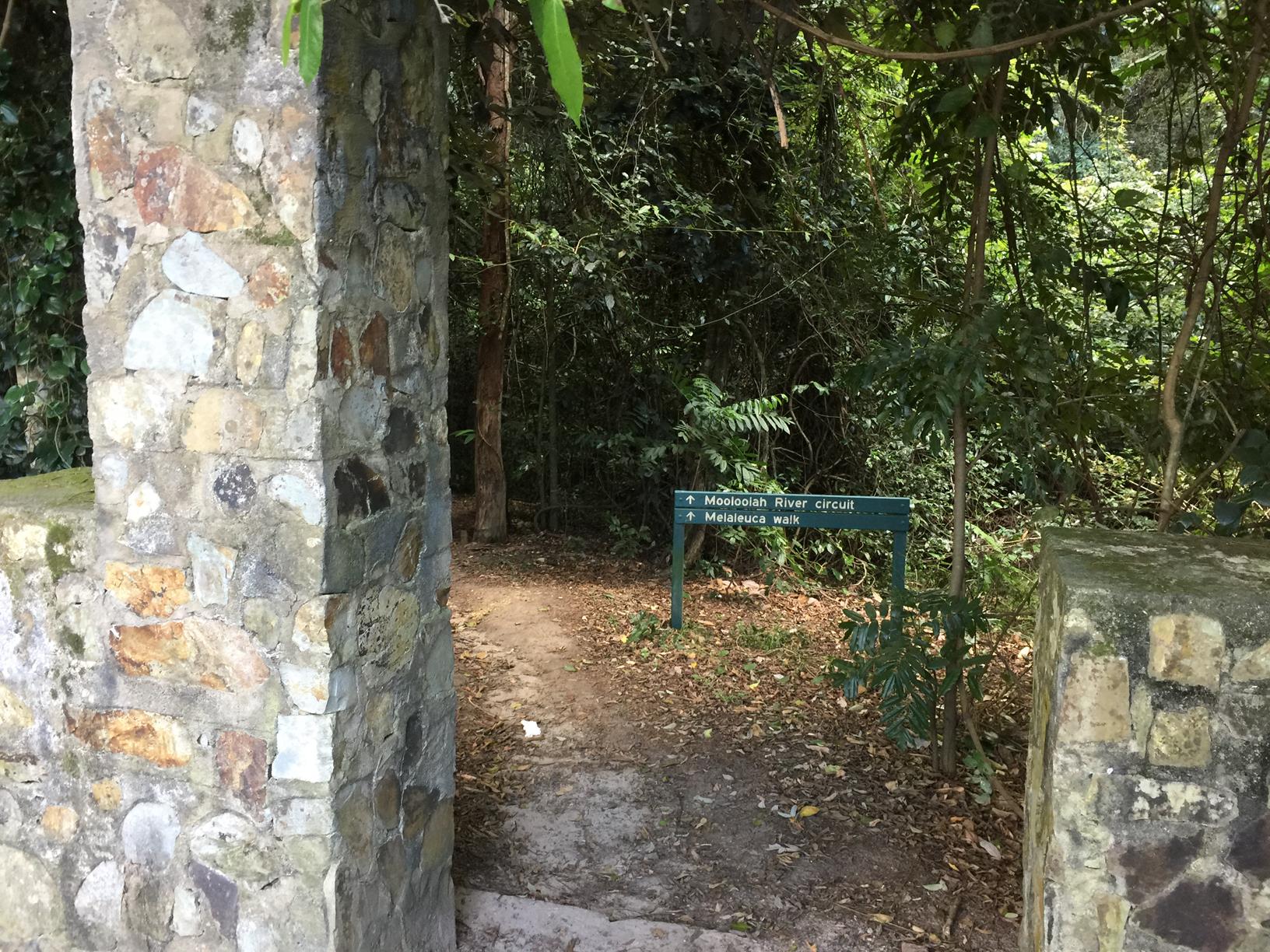
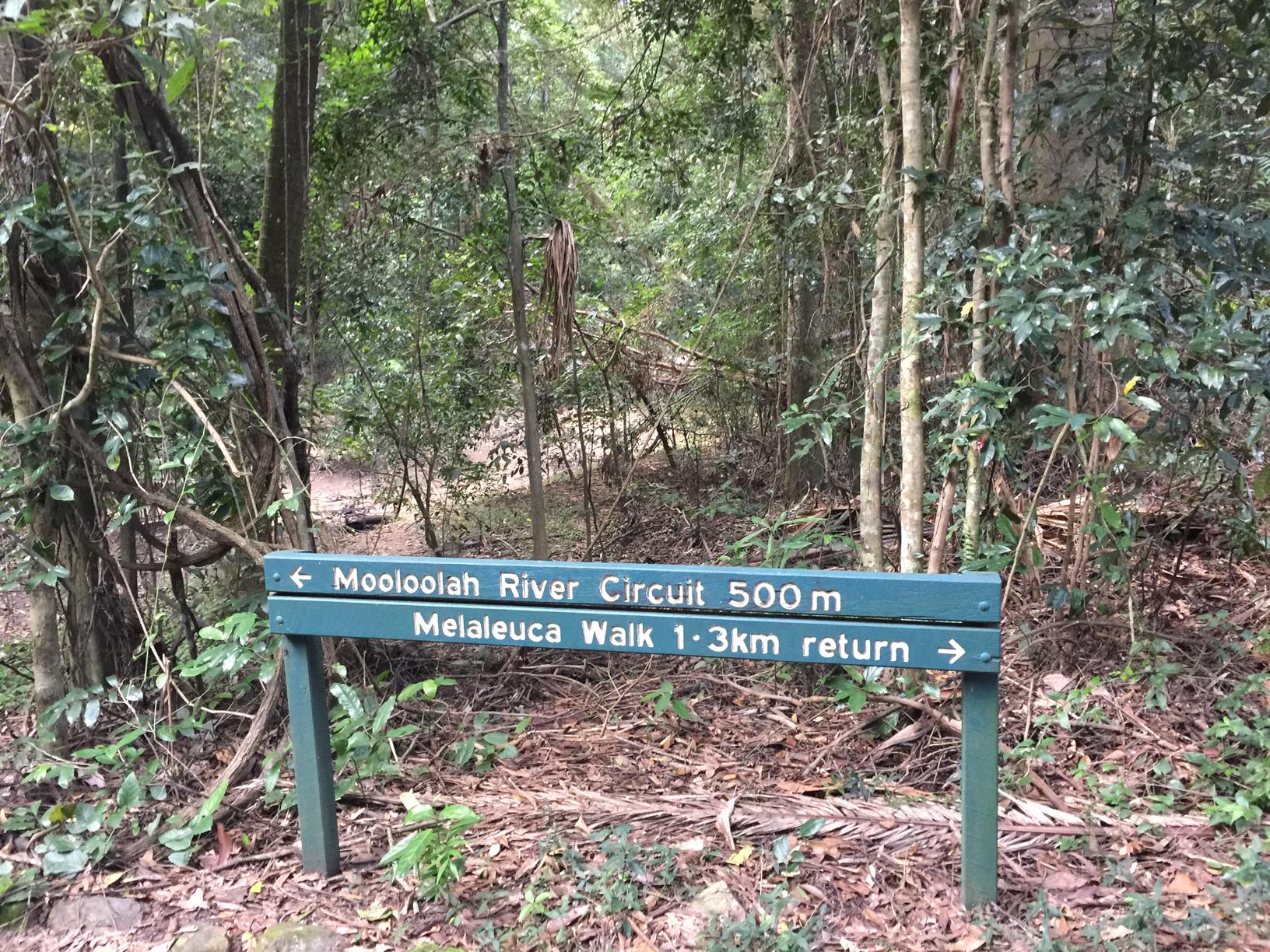
There are 2 short walks. Both clearly signed.: the Mooloolah River Circuit, 500 m return, and the Melaleuca walk, 1.3 km return.
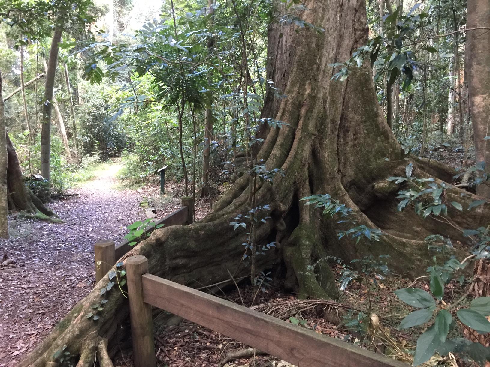
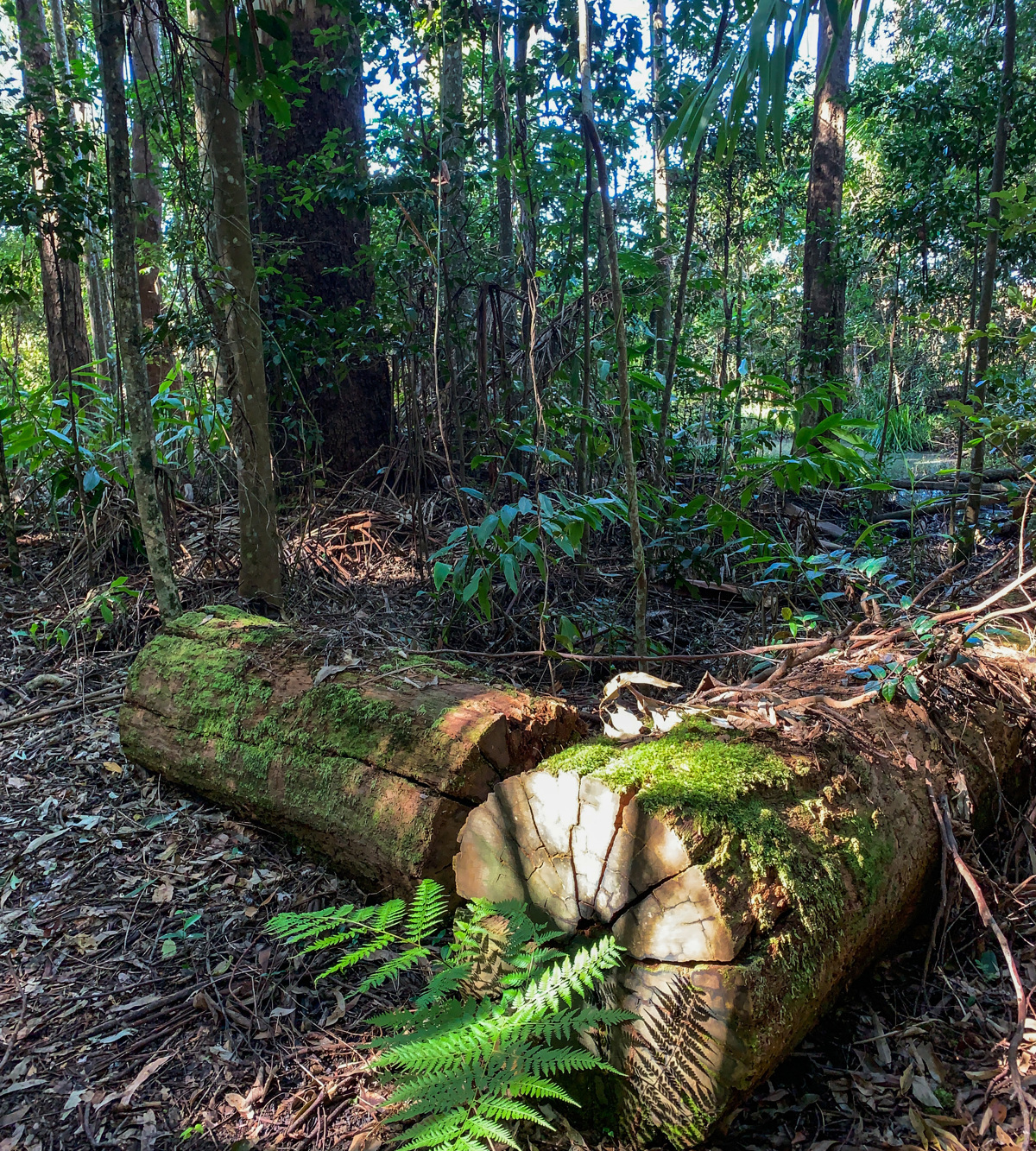
The Mooloolah River Circuit is a rainforest walk that winds along the river/creek. The fruiting fig trees make this is a good spot for birdwatching. Rainbow bee-eaters (bright turquoise, orange and green) can sometime be seen through here.

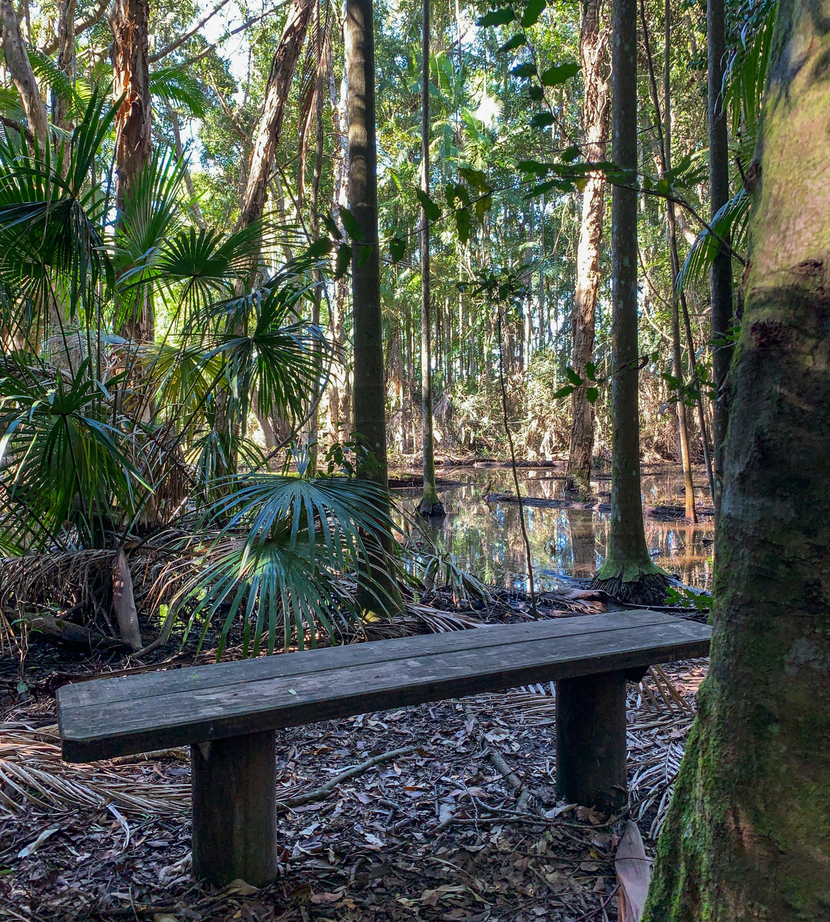
The Melaleuca Walk is a longer rainforest through piccabeen palm groves, eucalypt forest and melaleuca swamp. The river here is home to platypus, which may be seen by quiet and observant visitors at dawn and dusk.

These walks are right by a major road junction and somewhat noisy depending on the time of day. Note: mosquitos can be prevalent in this area, so come prepared.

AFTERWARDS
Just a couple of kilometres north on the Bruce Highway is “Aussie World” and many adjoining shops – fancy some fudge or some retail therapy - with coffee and other refreshments available.

HOW TO GET THERE

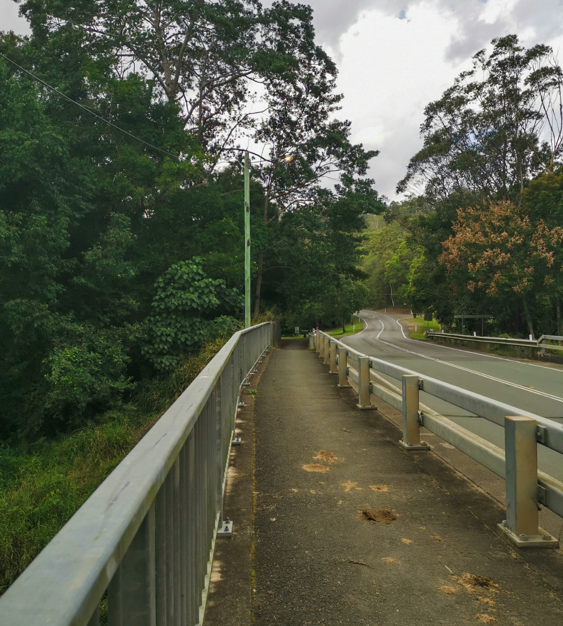
Take Steve Irwin Way off the M1 Bruce Highway (Caloundra/Landsborough off ramp), heading west, turn right into the Information Centre Car park in front of Beerwah Forest Reserve, adjoining Daisy's Place . At the rear of the car park you will find the entrance of park leading to the Mooloolah River Circuit.

The end point is the same as your starting point.

glossary button
Glossary
  • Icon showing this activity is suitable for wheelchairsSuitable for wheelchairs
  • Icon showing this activity is suitable for walkingSuitable for walking
  • Icon showing this activity is suitable for recreational cyclingSuitable for recreational cycling
  • Icon showing this activity is suitable for mountain bikingSuitable for mountain biking
  • Icon showing this activity is suitable for horse ridingSuitable for horse riding
  • Icon showing this activity is suitable for kayakingSuitable for kayaking
  • Icon showing this activity has drinking water availableDrinking water available
  • Icon showing this activity does not have drinking water availableNo drinking water available
  • Icon showing this activity has a barbeque on siteBarbeque on site
  • Icon showing this activity has a picnic table on sitePicnic table on site
  • Icon showing this activity has toilets on siteToilets on site
  • Icon showing fires are permitted at this activityFires permitted
  • Icon showing fires are prohibited at this activityFires prohibited
  • Icon showing camping is permitted at this activityCamping permitted
  • Icon showing camping is prohibited at this activityCamping prohibited
  • Suitable for walking Suitable for walking black lines Suitable for walking
  • No drinking water available No drinking water available No drinking water available
  • toilets on site toilets on site Toilets on site
  • Fires prohibited Fires prohibited Fires prohibited
  • Camping permitted Camping permitted Camping permitted
Write a review

Review Date: 27/11/2018

A flat, easy walk for all ages under giant figs, ancient flooded gums and other rainforest trees. Good birdwatching when it is quiet.

Reviewed By: Alan

Review Date: 26/11/2018

Two nice short and easy walks. The vegetation is beautiful with lots of strangler figs and a few massive eucalypts. Despite the constant hum of traffic from the nearby highway there are still plenty of birds to hear. We were also lucky enough to see a Richmond birdwing butterfly and a goanna. Good place to stop for a rest and a leg stretch if driving between Brisbane and the Sunshine Coast.

Reviewed By: Phoebe

hazard icon

IN AN EMERGENCY DIAL '000'.

Always Adventure Safely!

  • Always follow any local signage, it contains key information and conditions can change at any time.
  • Use the trails with consideration for your abilities, be prepared for the adventure ahead:
    • Be aware of the weather conditions, found here: http://www.bom.gov.au/qld/.
    • Always wear appropriate clothing, focus on good footwear.
    • Always bring more water than you think you will need.
    • Be Sun Safe!
    • Always let someone know where you are going that isn’t going with you.
  • Just getting started try this site for good useful information: https://www.trailhiking.com.au/hike-safety/
  • Sunshine Coast Council does it’s best to maintain current information but things can change so always be aware that a trail may not be as listed in this guide, and report and issues via our feedback link.

Qld Parks and Wildlife Service

National Parks, Conservation Parks and some State Forests are managed by Queensland Parks and Wildlife Service. Contact details are: https://www.des.qld.gov.au/contactus/

For current information on trail conditions and alerts go to https://parks.des.qld.gov.au/park-alerts/#sunshinecoast

If you think something on this web site needs to change please let us know via: adventure@sunshinecoast.qld.gov.au

Nearby Trails

Trail Image for Ewen Maddock Dam: Ferny Forest MTB Loop
Easy

Ewen Maddock Dam: Ferny Forest MTB Loop

Landsborough
mountain biking icon
Trail type
difficulty icon
Skill Level

12.8km

Length
direction icon
Circuit
Trail Image for Ewen Maddock Dam: Paddle
Easy

Ewen Maddock Dam: Paddle

Landsborough
canoeing icon
Trail type
difficulty icon
Skill Level

6.4km

Length
direction icon
Circuit
Trail Image for Ewen Maddock Dam Boardwalk
Easy

Ewen Maddock Dam Boardwalk

Landsborough
walking icon
Trail type
difficulty icon
Skill Level

0.4km

Length
direction icon
One-way
Trail Image for Ewen Maddock Dam Main Track
Intermediate

Ewen Maddock Dam Main Track

Glenview
walking icon mountain biking icon horse riding icon
Trail type
difficulty icon
Skill Level

9.0km

Length
direction icon
One-way
Trail Image for Mooloolah Valley Cycle Circuit
null

Mooloolah Valley Cycle Circuit

Mooloolah Valley
walking icon mountain biking icon
Trail type
difficulty icon
Skill Level

15.4km

Length
direction icon
Circuit

Share this trail

This action requires a login.
To continue, click on Login/Signup below.

Photo uploaded successfully, thank you.

Feedback / Suggest an Adventure

If you have any feedback on the site or any of the trails, please drop us a short email.

Have we missed something? Do you have an adventure to suggest? Fill in the suggestion form to let us know about it.