facebook
Image showing that the PDF download is in progress... PDF download in progress

Please wait...

Image showing a pink decorative paint splat
Image showing a green decorative paint splat
upload photo button
reviews buttonReviews view map buttonMap
view 3d map button3D Map
directions take me there buttonDirections
Save
PDF
Gpx File

Currimundi Lake: ‘Loop the Lake’

Currimundi Lake: ‘Loop the Lake’
Currimundi
walking icon walking icon black cycling icon cycling icon black
Trail type
difficulty icon
Skill Level
4.3km
One-way Length
direction icon direction icon black
One-way

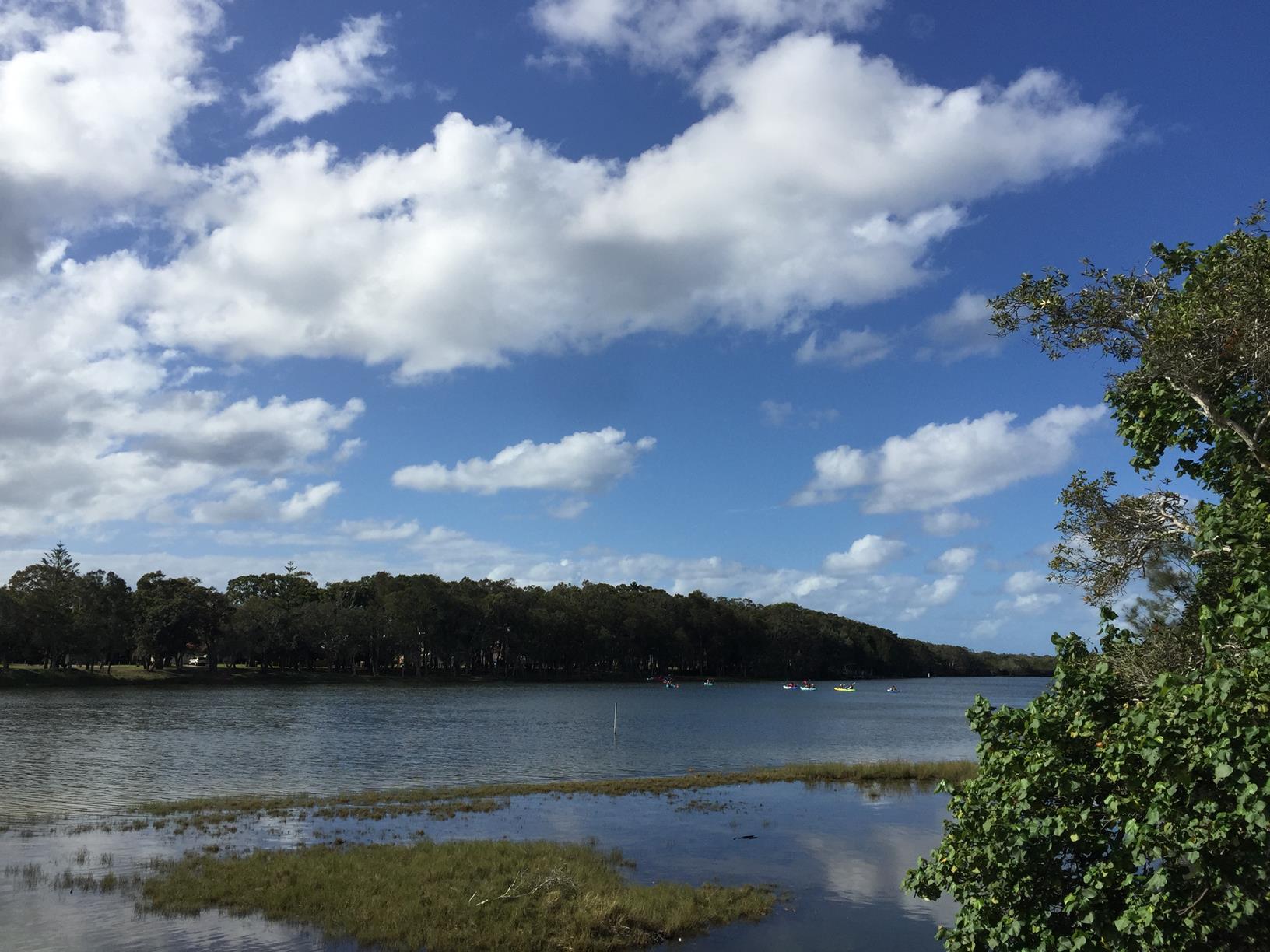
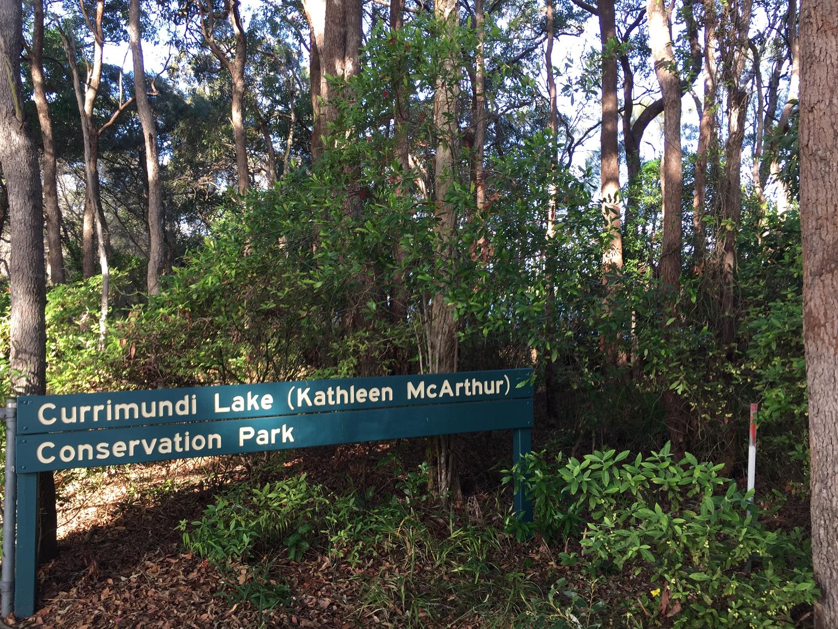
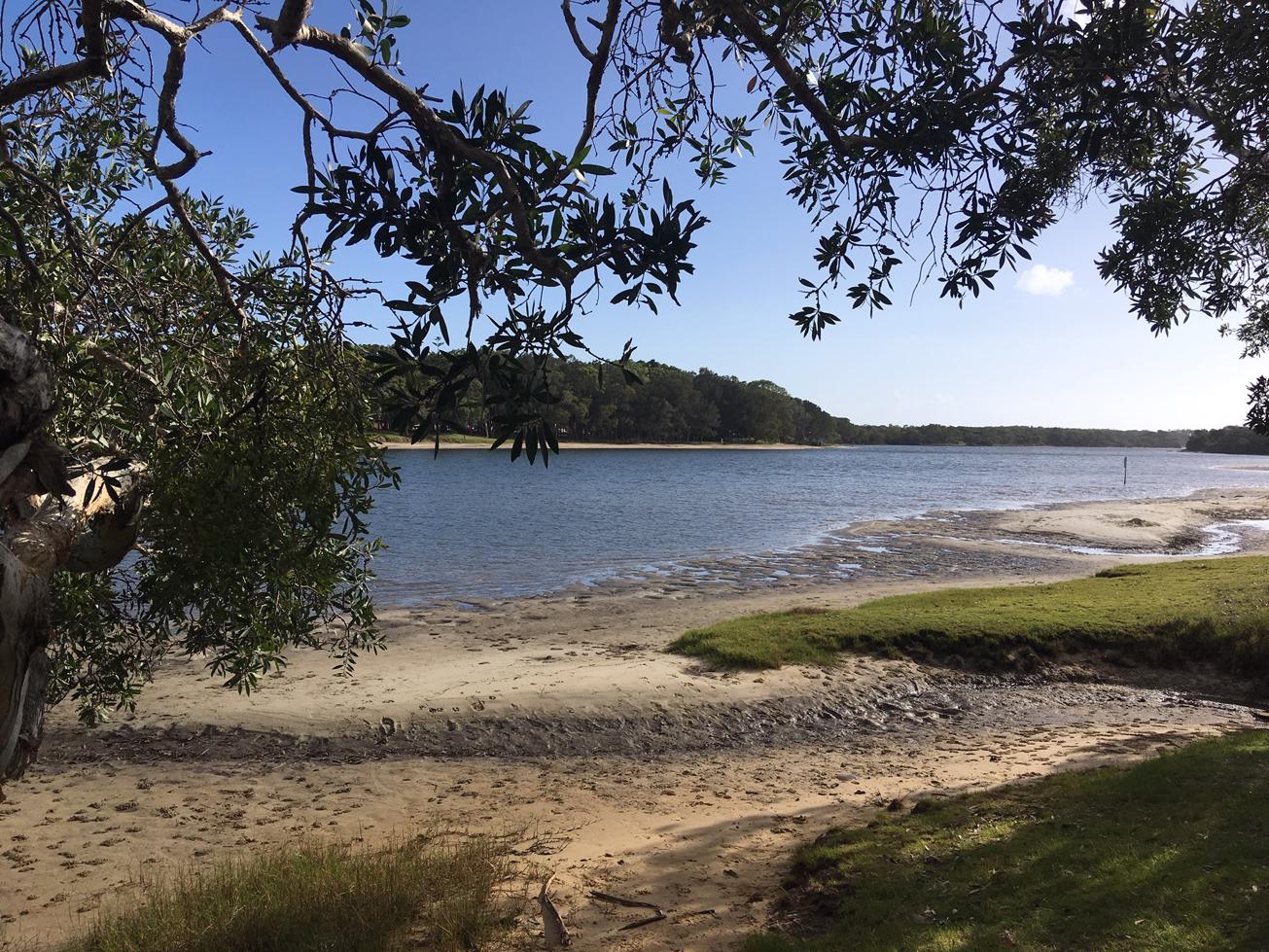
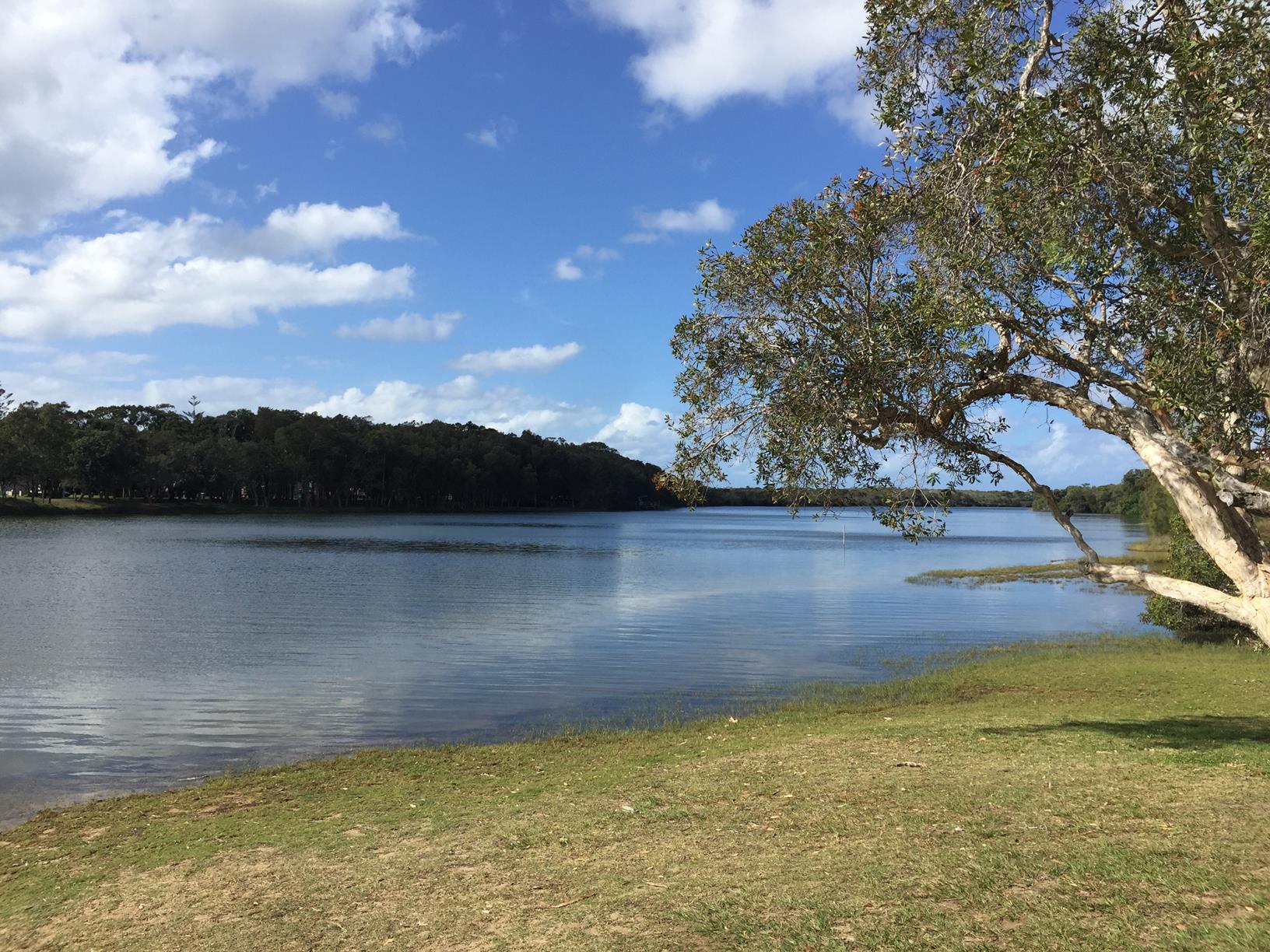
A great 3.8 km circuit alongside both sides of Currimundi Lake and the beach at the end.

SUITABILITY
Suitable for walkers and is an easy grade. Cyclists can do most of the circuit (out and back) except the beach crossing at the end.
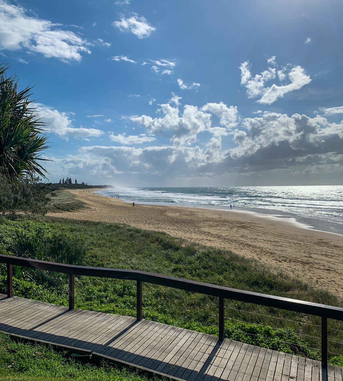
HIGHLIGHTS
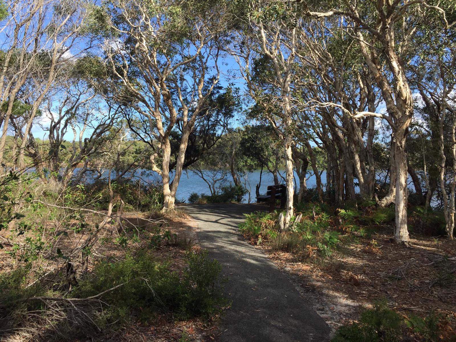
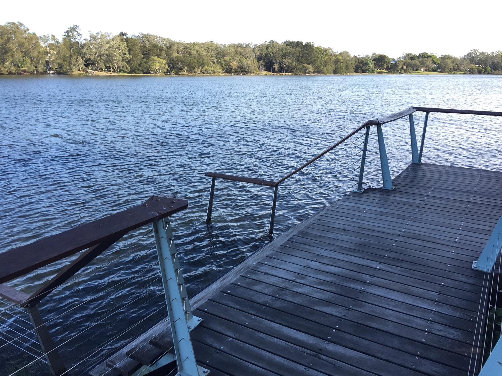
Anyone who loves sand and water will enjoy this 4 km (approx.) circuit. The majority of the track is lakeside with sections through coastal bushlands on the southern and northern sides of the lake. You cross over the lake via the pedestrian path on the bridge on the western end and walk across the beach on the eastern coast side where there is a beautiful open beach.

The great thing about this the walk is you can take your shoes off and get back to your car with a river crossing and the sand in your toes. Watch for wildlife and birds such as Osprey. Vegetation varies throughout the catchment and includes melaleuca wetlands, eucalypt woodland and patches of littoral rainforest.

TAKE CARE
Bring Bug spray. Currimundi carparking can be congested at times.

AFTERWARDS
When you are finished, enjoy a protected lake swim in sheltered waters. Plus, there are coffee shops and eateries at Currimundi. This is a great place to go any time of day. Toilets, BBQs, benches and small grass areas abound.

HOW TO GET THERE
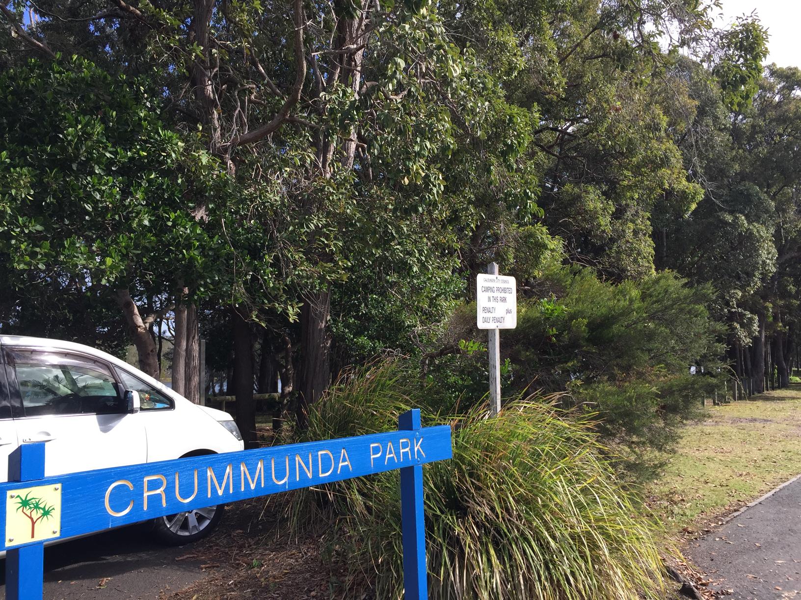
To the starting point: There are numerous starting points east of Nicklin Way. On the southern side of the lake you can park on Westaway Parade either near the surf beach or part way along at near Frank McIvor Park or other side streets in between. On the northern side you can find a spot on Coongarra Esplanade.

To the end point: This is a circular route with the end point being the same as your starting point.

glossary button
Glossary
  • Icon showing this activity is suitable for wheelchairsSuitable for wheelchairs
  • Icon showing this activity is suitable for walkingSuitable for walking
  • Icon showing this activity is suitable for recreational cyclingSuitable for recreational cycling
  • Icon showing this activity is suitable for mountain bikingSuitable for mountain biking
  • Icon showing this activity is suitable for horse ridingSuitable for horse riding
  • Icon showing this activity is suitable for kayakingSuitable for kayaking
  • Icon showing this activity has drinking water availableDrinking water available
  • Icon showing this activity does not have drinking water availableNo drinking water available
  • Icon showing this activity has a barbeque on siteBarbeque on site
  • Icon showing this activity has a picnic table on sitePicnic table on site
  • Icon showing this activity has toilets on siteToilets on site
  • Icon showing fires are permitted at this activityFires permitted
  • Icon showing fires are prohibited at this activityFires prohibited
  • Icon showing camping is permitted at this activityCamping permitted
  • Icon showing camping is prohibited at this activityCamping prohibited
  • Suitable for walking Suitable for walking black lines Suitable for walking
  • Suitable for recreational cycling Suitable for recreational cycling Suitable for recreational cycling
  • No drinking water available No drinking water available No drinking water available
  • Fires prohibited Fires prohibited Fires prohibited
  • Camping prohibited Camping prohibited Camping prohibited
Write a review

Review Date: 28/11/2018

A great walk, and fantastic end of trip facilities - especially if you have children (with children who are "busting" after a walk when you told them to use the toilet before you leave home/car)! The lake is fantastic from small children (even under 2) all the way to about 12 years of age in that it is nice and shallow and yet the kids still love it. Fantastic coffee shops and a very family friendly relaxed place to visit.

Reviewed By: Maree

hazard icon

IN AN EMERGENCY DIAL '000'.

Always Adventure Safely!

  • Always follow any local signage, it contains key information and conditions can change at any time.
  • Use the trails with consideration for your abilities, be prepared for the adventure ahead:
    • Be aware of the weather conditions, found here: http://www.bom.gov.au/qld/.
    • Always wear appropriate clothing, focus on good footwear.
    • Always bring more water than you think you will need.
    • Be Sun Safe!
    • Always let someone know where you are going that isn’t going with you.
  • Just getting started try this site for good useful information: https://www.trailhiking.com.au/hike-safety/
  • Sunshine Coast Council does it’s best to maintain current information but things can change so always be aware that a trail may not be as listed in this guide, and report and issues via our feedback link.

Sunshine Coast Council

For any issues with this experience please contact:

Sunshine Coast Council via 07 5475 7272 or via e-mail: adventure@sunshinecoast.qld.gov.au

Nearby Trails

Trail Image for Currimundi Lake: Full Paddle
Intermediate

Currimundi Lake: Full Paddle

Birtinya
canoeing icon
Trail type
difficulty icon
Skill Level

5.6km

Length
direction icon
One-way
Trail Image for Currimundi Lake (Kathleen McArthur) Conservation Park
Intermediate

Currimundi Lake (Kathleen McArthur) Conservation Park

Wurtulla
walking icon
Trail type
difficulty icon
Skill Level

4.1km

Length
direction icon
Circuit
Trail Image for Currimundi Lake: Short Paddle
Easy

Currimundi Lake: Short Paddle

Currimundi
canoeing icon
Trail type
difficulty icon
Skill Level

2.7km

Length
direction icon
Circuit
Trail Image for Road Cycle Route: Pt. Cartwright to Moffat Beach
Difficult

Road Cycle Route: Pt. Cartwright to Moffat Beach

Aroona
walking icon cycling icon
Trail type
difficulty icon
Skill Level

30.6km

Length
direction icon
One-way
Trail Image for Coastal Pathway: Dicky Beach to Currimundi Lake
Easy

Coastal Pathway: Dicky Beach to Currimundi Lake

Currimundi
walking icon cycling icon
Trail type
difficulty icon
Skill Level

1.7km

Length
direction icon
One-way

Share this trail

This action requires a login.
To continue, click on Login/Signup below.

Photo uploaded successfully, thank you.

Feedback / Suggest an Adventure

If you have any feedback on the site or any of the trails, please drop us a short email.

Have we missed something? Do you have an adventure to suggest? Fill in the suggestion form to let us know about it.