facebook
Image showing that the PDF download is in progress... PDF download in progress

Please wait...

Image showing a pink decorative paint splat
Image showing a green decorative paint splat
reviews buttonReviews view map buttonMap
view 3d map button3D Map
directions take me there buttonDirections
Save
PDF
Gpx File

Baroon Pocket Dam: Lake Paddle

Baroon Pocket Dam: Lake Paddle
North Maleny
canoe icon canoe icon black
Trail type
difficulty icon
Skill Level
8.8km
Length
direction icon direction icon black
Circuit

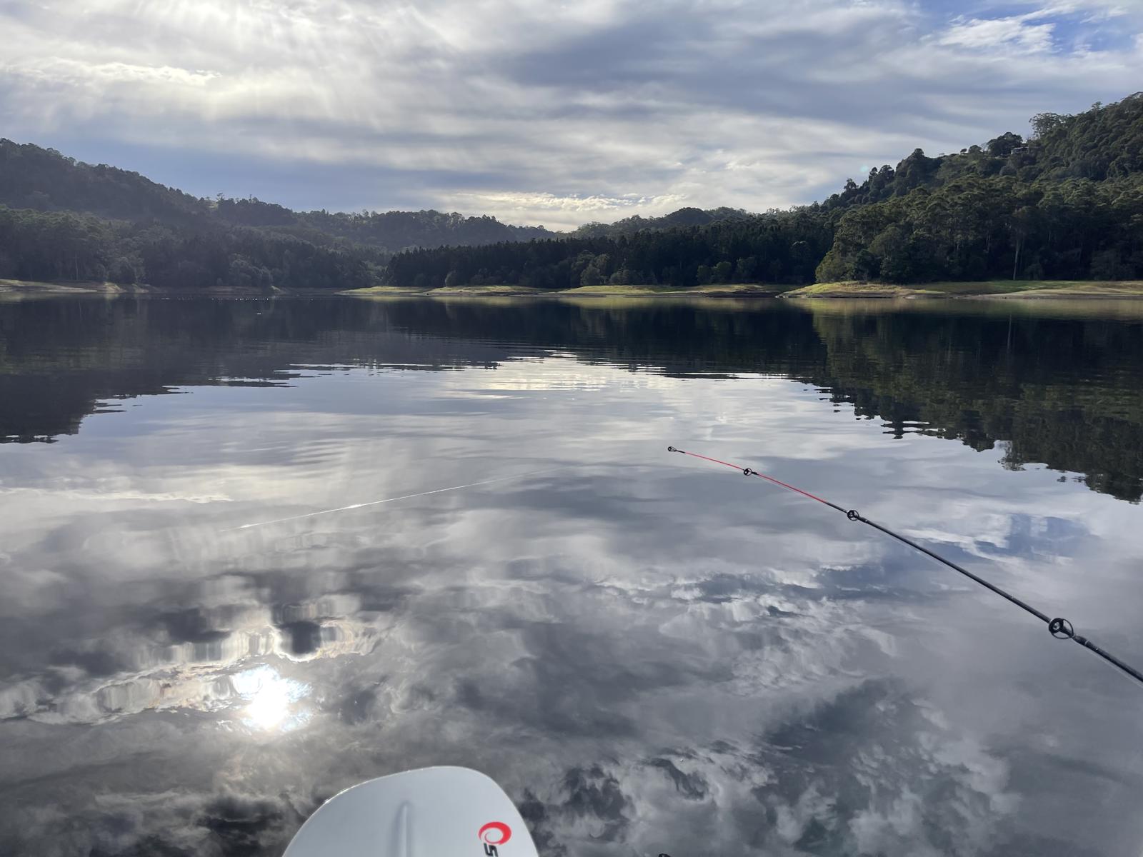
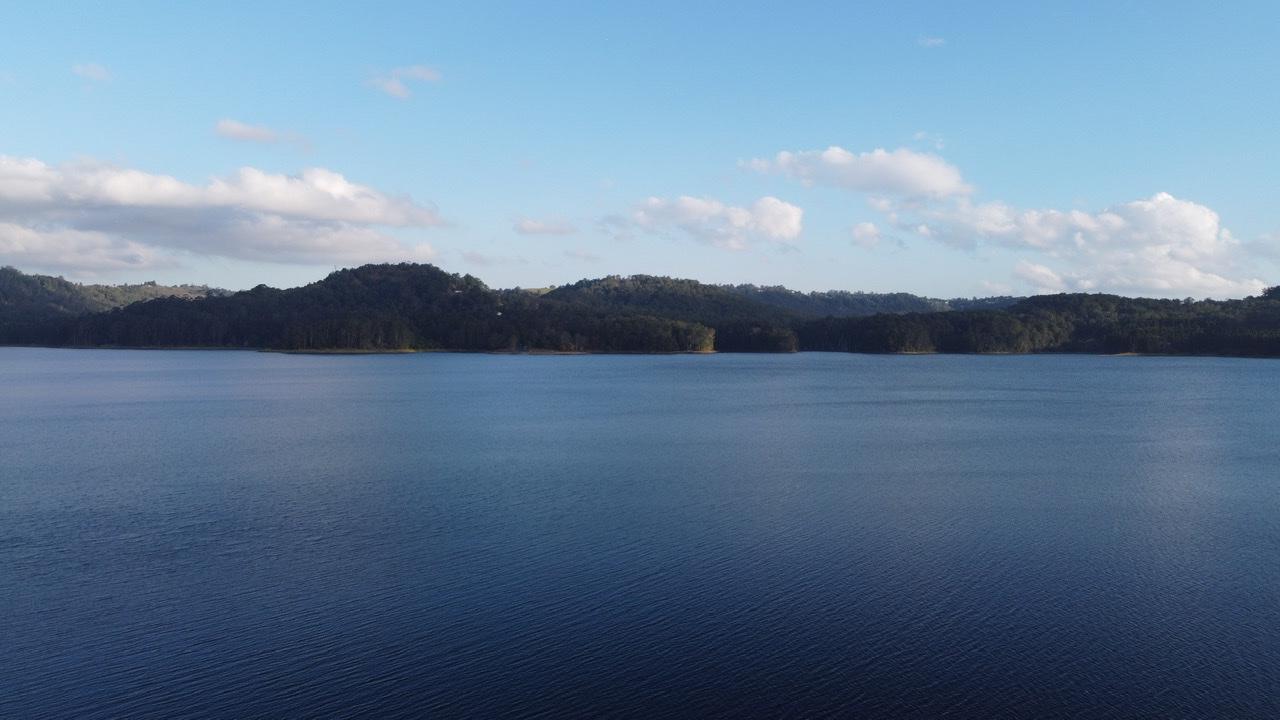
A very picturesque and peaceful paddle on one of the hinterland lakes tucked in the valley.

SUITABLILITY
Suitable for all level of kayakers however due to the open nature of the lake, the water can get quite choppy if a windy day.

HIGHLIGHTS
Nestled in the middle of the main range between Maleny and Montville is the peaceful Baroon Pocket Dam. With no powercraft allowed on the dam and high green hills all around, it’s a beautiful protected place for a paddle.

There are many small tributaries that flow into the lake that are worth paddling up. Scenery surrounding the water’s edge varies from open grassland to bush. Even though it is 1.4 km across the dam, good 3-4 hour paddles can be had on this lake. Apart from some small off limits areas the whole dam is yours to explore. Just be aware of the GATES CLOSE TIME – 6am to 5:30pm in winter, 5.30am to 6.30pm in summer.

Check with seqwater.com before you go to ensure the dam is open.

AFTERWARDS
There is no camping allowed at the dam/lake area. The closest accommodation for visitors is in nearby Montville and Maleny, where there is a caravan park at the latter.

The Martin Williams Walk is located at the Southern Recreation Area off Baroon Pocket Road. The walk was designed and built by the lake’s first ranger, Martin Williams.

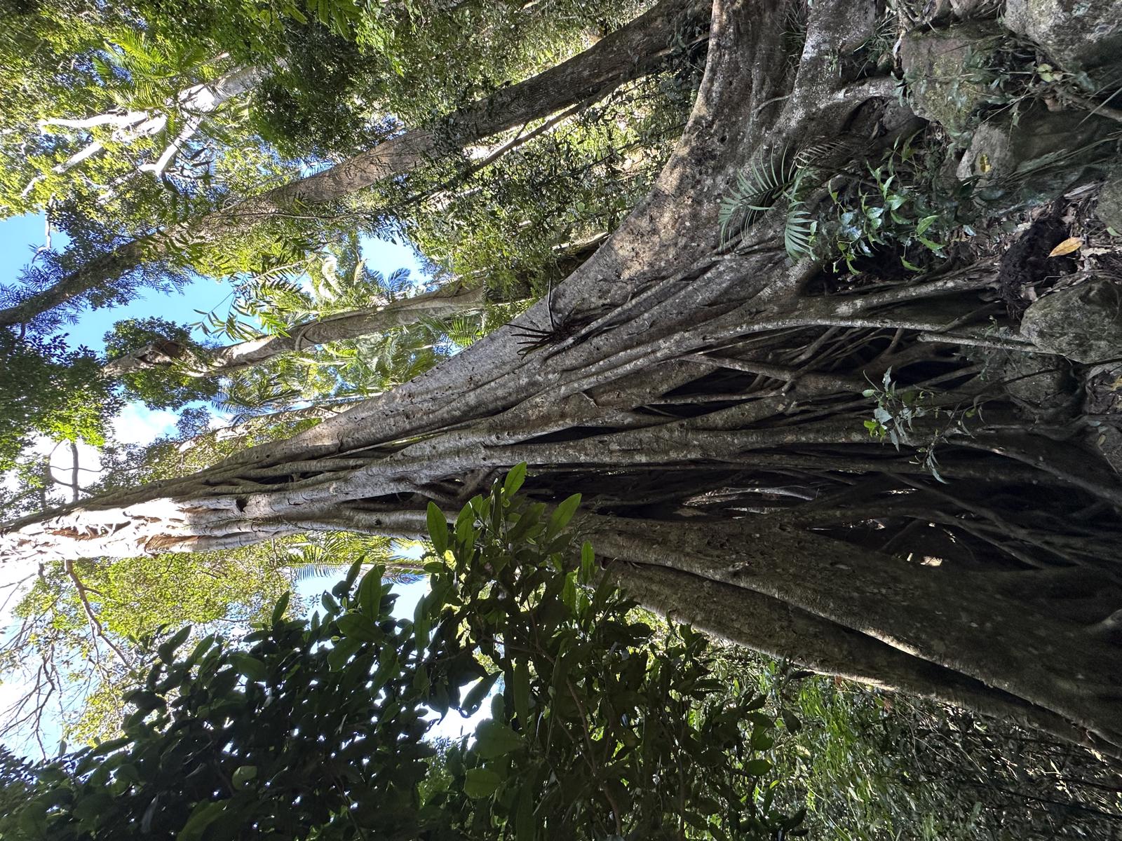
On the northern side of the lake, you can take a short stroll down to view Obi Obi Creek and the spillway.

Not afar away are numerous shops, cafes and other sights and bushwalks to explore in Maleny, Montville and Mapleton.

HOW TO GET THERE
To the starting point: There are two main access points for the Dam:

Southern side from Maleny – drive to the end of Baroon Pocket Road. This is the starting point on the map.

Northern side from Montville – drive to the end of Narrows Road. The north side has onsite café and is very close to Montville and all associated eats and treats.

Both locations have parking and amenities.

To the end point: Your paddle end point is the same as your starting point unless you want to paddle across and have someone collect you on the other side.

glossary button
Glossary
  • Icon showing this activity is suitable for wheelchairsSuitable for wheelchairs
  • Icon showing this activity is suitable for walkingSuitable for walking
  • Icon showing this activity is suitable for recreational cyclingSuitable for recreational cycling
  • Icon showing this activity is suitable for mountain bikingSuitable for mountain biking
  • Icon showing this activity is suitable for horse ridingSuitable for horse riding
  • Icon showing this activity is suitable for kayakingSuitable for kayaking
  • Icon showing this activity has drinking water availableDrinking water available
  • Icon showing this activity does not have drinking water availableNo drinking water available
  • Icon showing this activity has a barbeque on siteBarbeque on site
  • Icon showing this activity has a picnic table on sitePicnic table on site
  • Icon showing this activity has toilets on siteToilets on site
  • Icon showing fires are permitted at this activityFires permitted
  • Icon showing fires are prohibited at this activityFires prohibited
  • Icon showing camping is permitted at this activityCamping permitted
  • Icon showing camping is prohibited at this activityCamping prohibited
  • suitable for kayaking suitable for kayaking Suitable for kayaking
  • No drinking water available No drinking water available No drinking water available
  • barbeque on site barbeque on site Barbeque on site
  • Picnic table on site Picnic table on site Picnic table on site
  • toilets on site toilets on site Toilets on site
  • Fires prohibited Fires prohibited Fires prohibited
  • Camping prohibited Camping prohibited Camping prohibited
Write a review

Review Date: 12/11/2018

It does get a little choppy on the water but so beautiful once you get off the main body into a less exposed area. Beautiful wildlife to be seen. Took two hours of paddling today but bring lunch in an esky and use BBQ facilities before you go. Make a day of it. Can't wait to go back!

Reviewed By: Rebecca

hazard icon

IN AN EMERGENCY DIAL '000'.

Always Adventure Safely!

  • Always follow any local signage, it contains key information and conditions can change at any time.
  • Use the trails with consideration for your abilities, be prepared for the adventure ahead:
    • Be aware of the weather conditions, found here: http://www.bom.gov.au/qld/.
    • Always wear appropriate clothing, focus on good footwear.
    • Always bring more water than you think you will need.
    • Be Sun Safe!
    • Always let someone know where you are going that isn’t going with you.
  • Just getting started try this site for good useful information: https://www.trailhiking.com.au/hike-safety/
  • Sunshine Coast Council does it’s best to maintain current information but things can change so always be aware that a trail may not be as listed in this guide, and report and issues via our feedback link.

SEQ Water

For any issues with the trail please contact:

SEQ Water via 07 3035 5500 or communications@seqwater.com.au

If you think something on the web site needs to change please let us know via: adventure@sunshinecoast.qld.gov.au

Nearby Trails

Trail Image for Baroon Pocket Dam: Martin Williams Walk
Intermediate

Baroon Pocket Dam: Martin Williams Walk

North Maleny
walking icon
Trail type
difficulty icon
Skill Level

2.2km

Length
direction icon
Circuit
Trail Image for Sunshine Coast Hinterland Great Walk: Baroon Lookout
Difficult

Sunshine Coast Hinterland Great Walk: Baroon Lookout

Montville
walking icon
Trail type
difficulty icon
Skill Level

2.5km

Length
direction icon
One-way
Trail Image for Sunshine Coast Hinterland Great Walk: Baroon Section
Difficult

Sunshine Coast Hinterland Great Walk: Baroon Section

Montville
walking icon
Trail type
difficulty icon
Skill Level

11.9km

Length
direction icon
One-way
Trail Image for Road Cycle Route: Hinterland Loop
Difficult

Road Cycle Route: Hinterland Loop

Balmoral Ridge
walking icon cycling icon
Trail type
difficulty icon
Skill Level

95.8km

Length
direction icon
Circuit
Trail Image for Russell Family Park
Easy

Russell Family Park

Montville
walking icon cycling icon
Trail type
difficulty icon
Skill Level

0.9km

Length
direction icon
Circuit

Share this trail

This action requires a login.
To continue, click on Login/Signup below.

Photo uploaded successfully, thank you.

Feedback / Suggest an Adventure

If you have any feedback on the site or any of the trails, please drop us a short email.

Have we missed something? Do you have an adventure to suggest? Fill in the suggestion form to let us know about it.