


If you have any feedback on the site or any of the trails, please drop us a short email.
Suggest an AdventureHave we missed something? Do you have an adventure to suggest? Fill in the suggestion form to let us know about it.

 PDF download in progress
Please wait...


Tackle the first part of this multi-day hinterland adventure.
SUITABILITY
Suitable for walkers with intermediate fitness and endurance.
HIGHLIGHTS
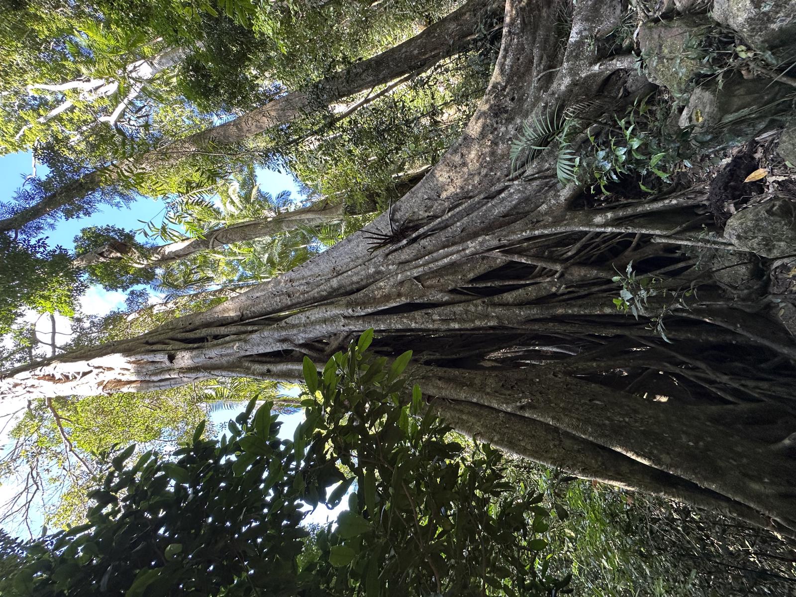
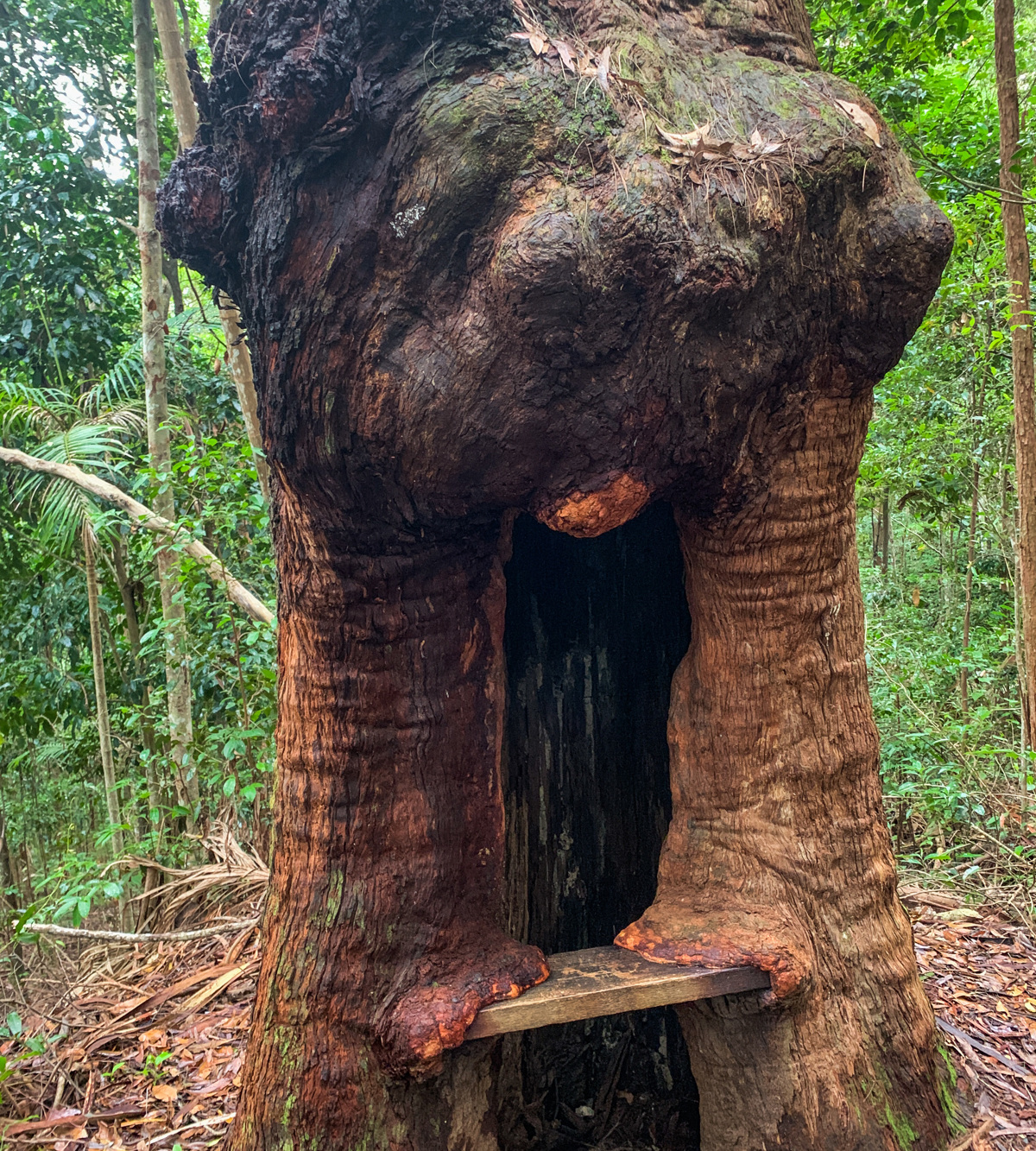
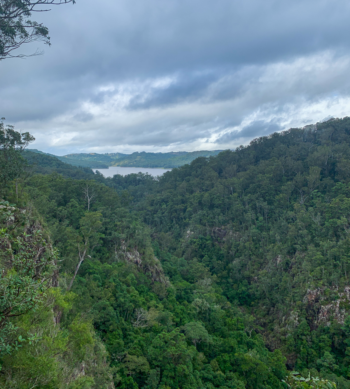
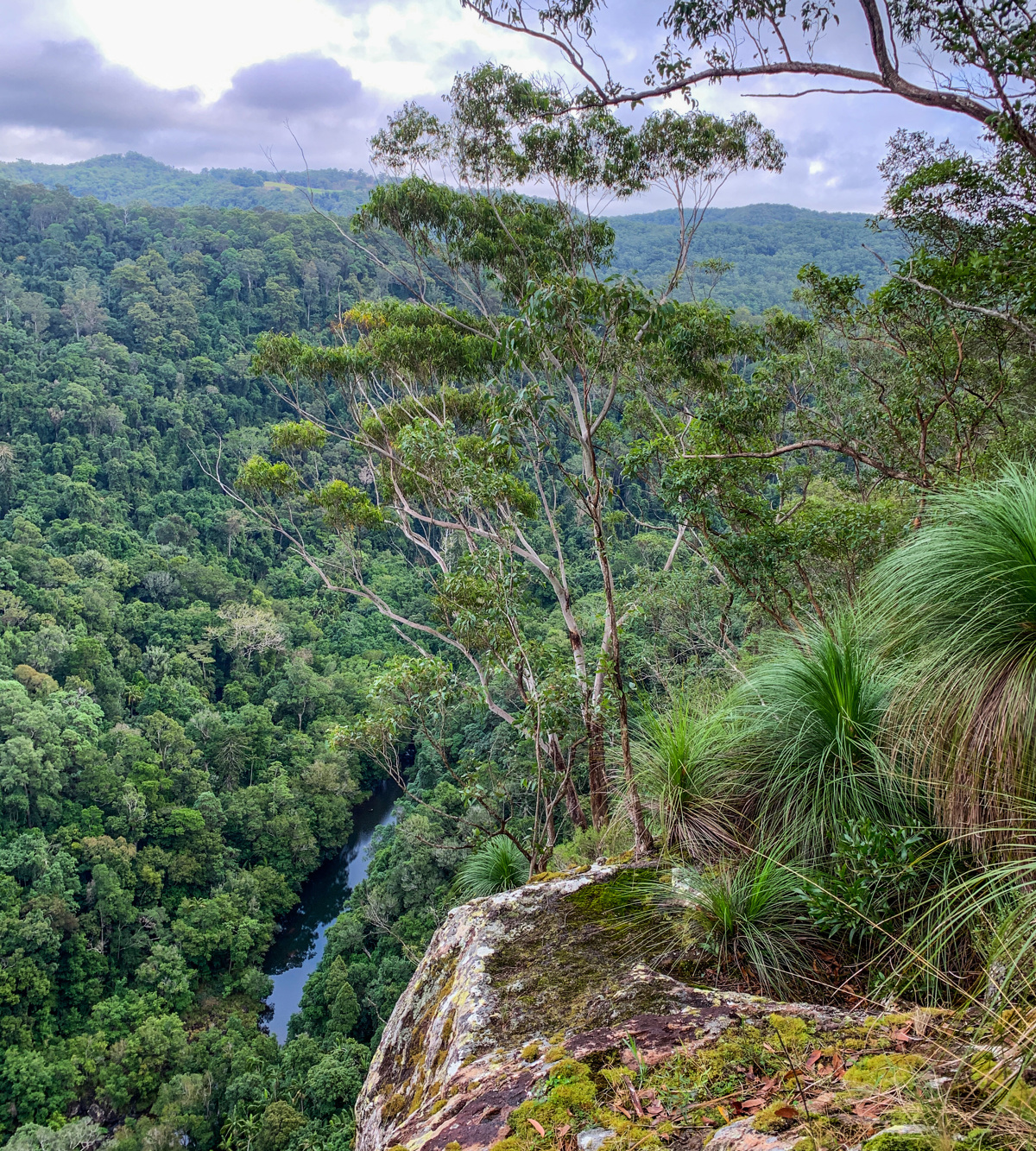
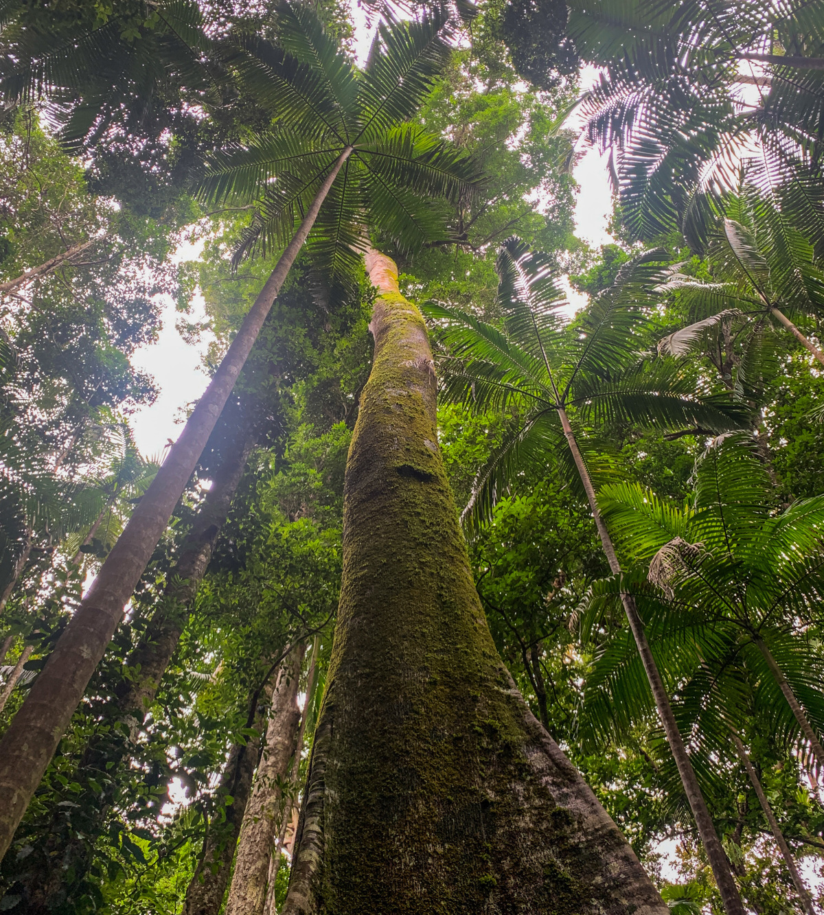
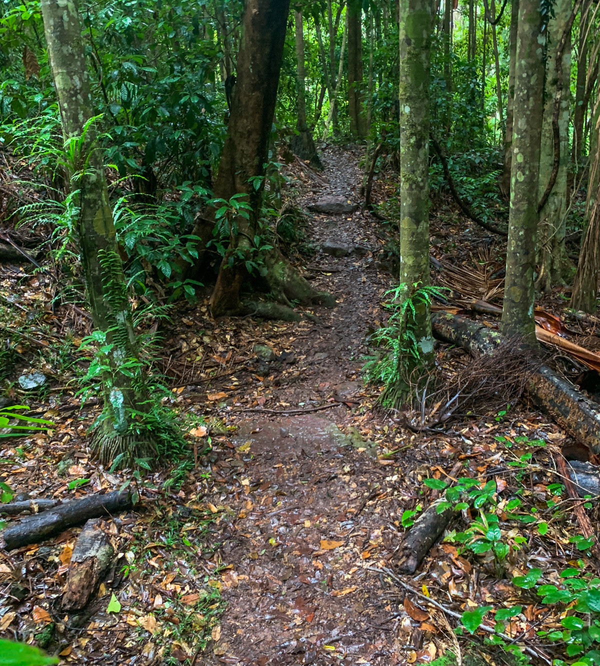
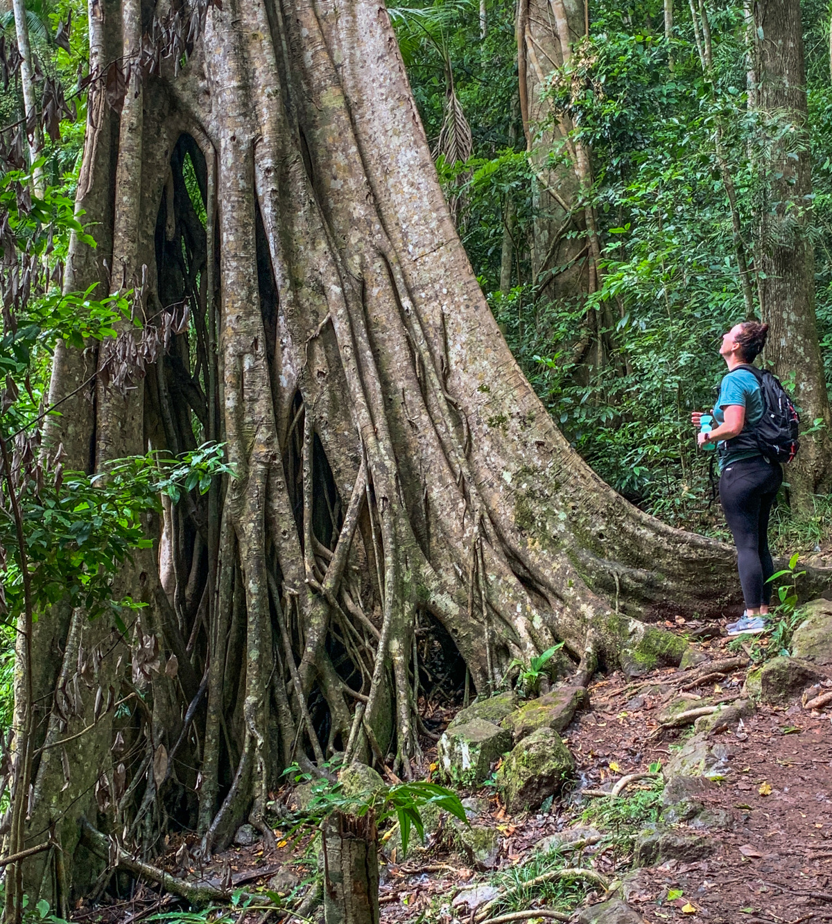
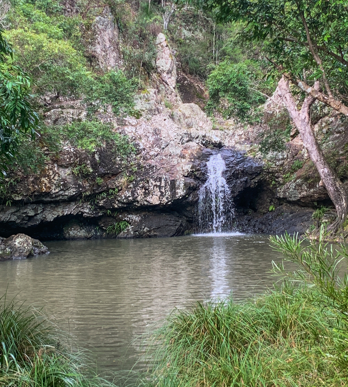
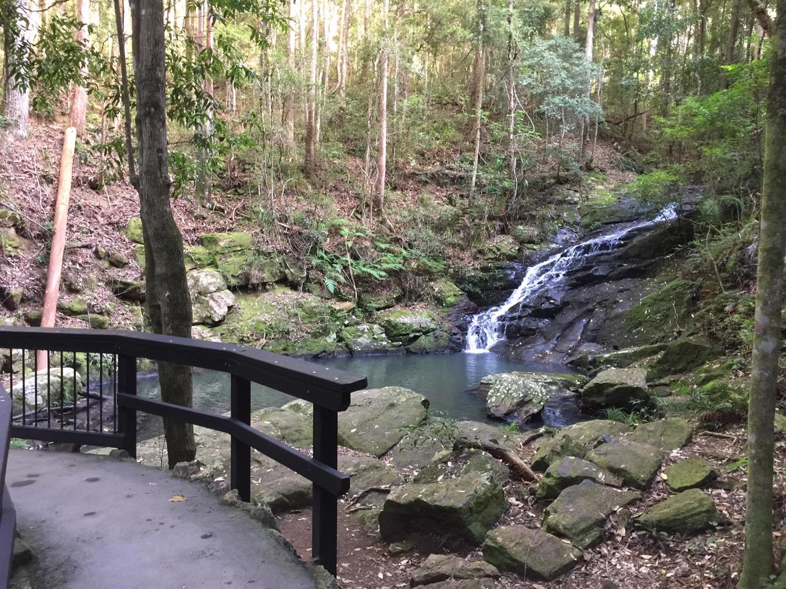
The 58.8km Sunshine Coast Hinterland Great Walk (SCHGW) gives you access to some of the coast's best scenery along with warm subtropical rainforest, tall open eucalypt forest and picturesque waterfalls.
The Walk is made up of 3 sections, namely the Baroon Section of walks, the Mapleton Falls Section and the Mapleton Section (Delica Road entrance).
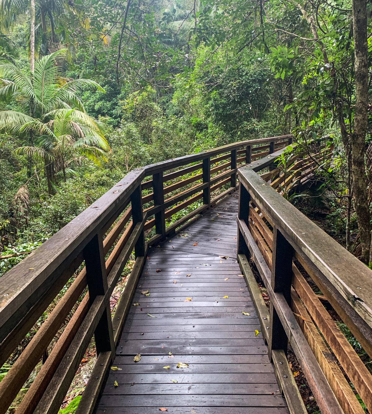
The Great Walk was constructed with multiple access points to give visitors different walking experiences along the top of the Blackall Range. It meanders through three reserves that link up via sealed paths through hinterland villages, with a quite a few steep sections adding to the sense of challenge and achievement. You can walk the whole track in 3 - 4 days and camp in beautiful settings or do shorter sections as half-day and full-day options.
This fantastic first section of SCHGW is between Baroon Pocket Dam and Kondalilla Falls. In fact (Note: There are shorter walks to both listed in this adventure directory. In fact, the Baroon Pocket Dam Obi Obi Lookout walk is the first 2 km or so of this trail).
This first section of the walk is between Baroon Pocket Dam and Kondalilla Falls and takes approximately half a day.
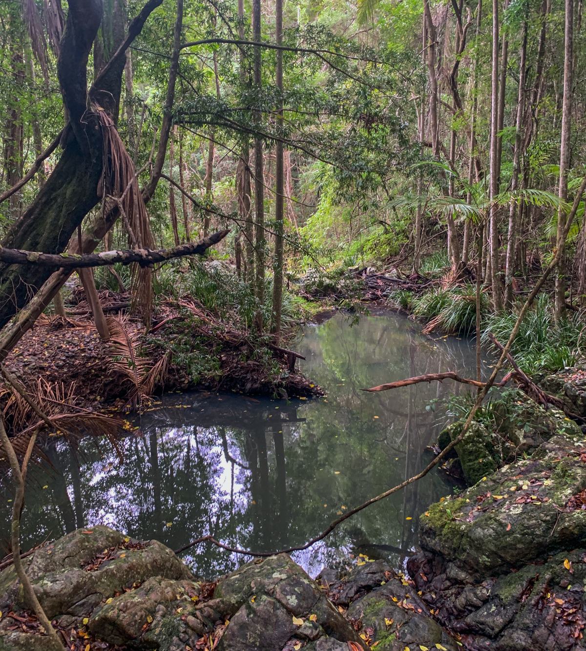
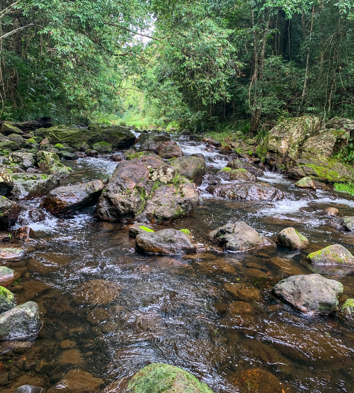
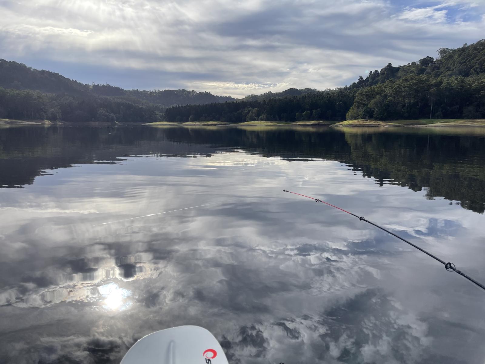
On this section of the Great Walk there are scenic views of mountains and valleys to the west and the Pacific Ocean to the east. Approximately halfway along the walk you come to a wide stretch of the creek where there are great boulders and cliffs to sit while you take a snack break.
The walk takes you on a journey through dense rainforest, with scenic views of mountains and valleys. Approximately halfway along you will come to a wide stretch of the creek where there are great boulders to sit while you take a well-earned rest – or snack break!
There is a fair amount of inclines and descents on this walk, and it is highly recommended you visit the QPWS website for full trail information before setting out. Click link at the top of the page.
Allow a half day one-way and arrange a lift or car shuttle back to your starting point via the road to Montville. The walk could also be done in the opposite direction or as a return journey for extremely fit and experienced walkers.
Take extra care after rainfall, as the track can be very slippery. Phone signal is limited, so make sure you tell someone you are going – a minimum of two people is strongly recommended.
AFTERWARDS
As you near the end of the walk, make sure you have a swim at Kondalilla Falls as you have well and truly earned it. (Carry your swimmers and towel with you)
Near the Kondalilla Falls carpark there is a large grassed picnic area, where there are toilets, picnic tables, barbecues, and shelter sheds – so pack a picnic or BBQ and have in the vehicle you left here. Or head to Montville for your caffeine fix!
HOW TO GET THERE
To the starting point: Travel on the Bruce Highway (M1) and take the Blackall Range tourist drive (23) – actual road is Landsborough Maleny Road. Turn right into Maleny Montville Road which eventually becomes Balmoral Road and then Main Street as you come into Montville. Turn left at Western Avenue and follow this road for about 3 km. Turn left down Narrows Road almost to the end. The Baroon Pocket Dam carpark is off to your right.
To the end point: This is a one-way route. The route ends in the Kondilla Falls carpark, off Kondilla Falls Road. That road joins the Maleny Montville Road on the northside.
Review Date: 29/11/2018
Reviewed By: Chris
IN AN EMERGENCY DIAL '000'.
Always Adventure Safely!
Qld Parks and Wildlife Service
National Parks, Conservation Parks and some State Forests are managed by Queensland Parks and Wildlife Service. Contact details are: https://www.des.qld.gov.au/contactus/
For current information on trail conditions and alerts go to https://parks.des.qld.gov.au/park-alerts/#sunshinecoast
If you think something on this web site needs to change please let us know via: adventure@sunshinecoast.qld.gov.au
This action requires a login.
To continue, click on Login/Signup below.
 loading...
Photo uploaded successfully, thank you.
If you have any feedback on the site or any of the trails, please drop us a short email.
Suggest an AdventureHave we missed something? Do you have an adventure to suggest? Fill in the suggestion form to let us know about it.