facebook
Image showing that the PDF download is in progress... PDF download in progress

Please wait...

Image showing a pink decorative paint splat
Image showing a green decorative paint splat
upload photo button

NOTE: This adventure is in Kondalilla National Park for current Queensland Parks and Wildlife Service parks information, maps and essential park alerts click here

reviews buttonReviews view map buttonMap
view 3d map button3D Map
directions take me there buttonDirections
Save
PDF
Gpx File

Kondalilla National Park: Kondalilla Rock Pools

Kondalilla National Park: Kondalilla Rock Pools
Montville
walking icon walking icon black
Trail type
difficulty icon
Skill Level
2.7km
Length
direction icon direction icon black
Circuit

This walk, waterfall and rock pools are iconic and a must for anyone growing up on the Sunshine Coast.

SUITABILITY
Suitable for walkers with reasonable fitness as there are over 300 steps down to the falls.

HIGHLIGHTS
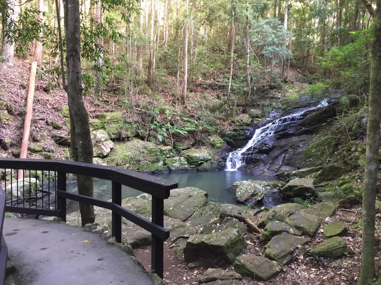
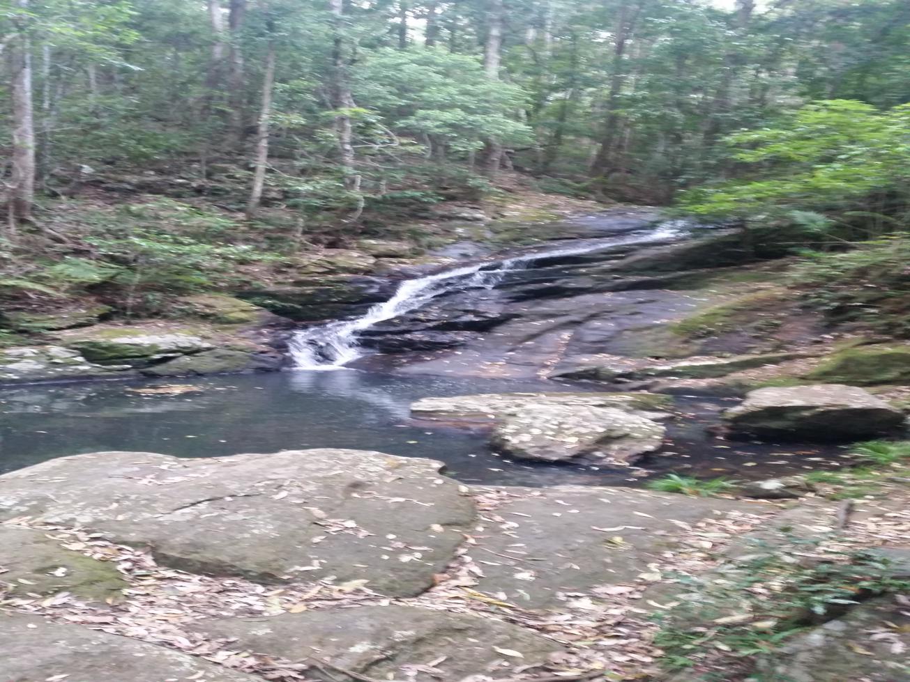
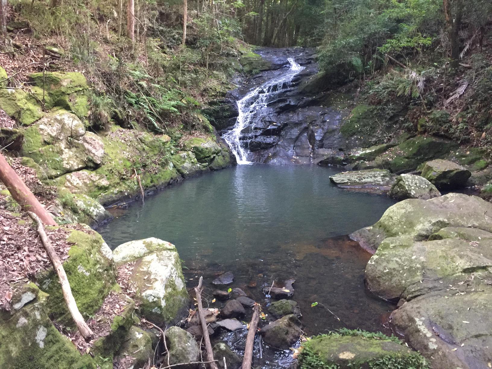
Kondalilla National Park is a cool and very popular mountain retreat nearly all year round. The park is named after the spectacular Kondalilla Falls, where Skene Creek drops 90m into a rainforest valley. Kondalilla, an Aboriginal word meaning 'rushing waters', describes this park's waterfall during the summer wet season.

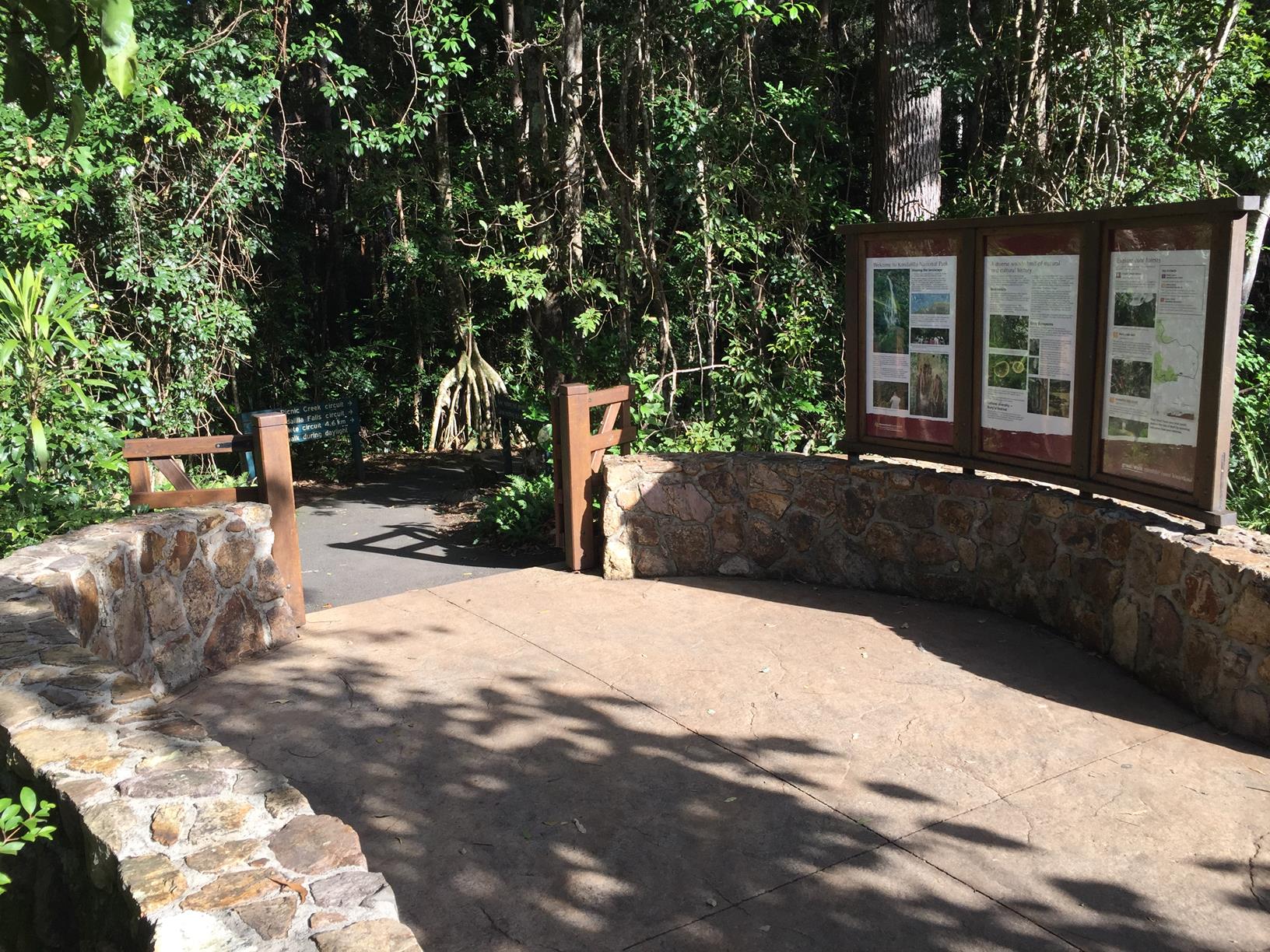
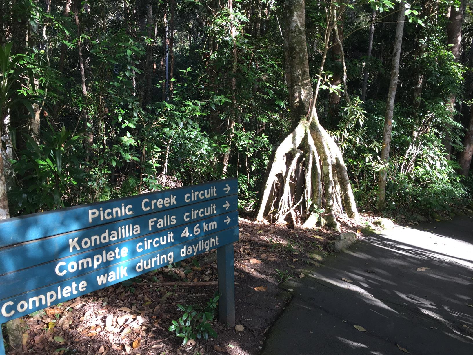
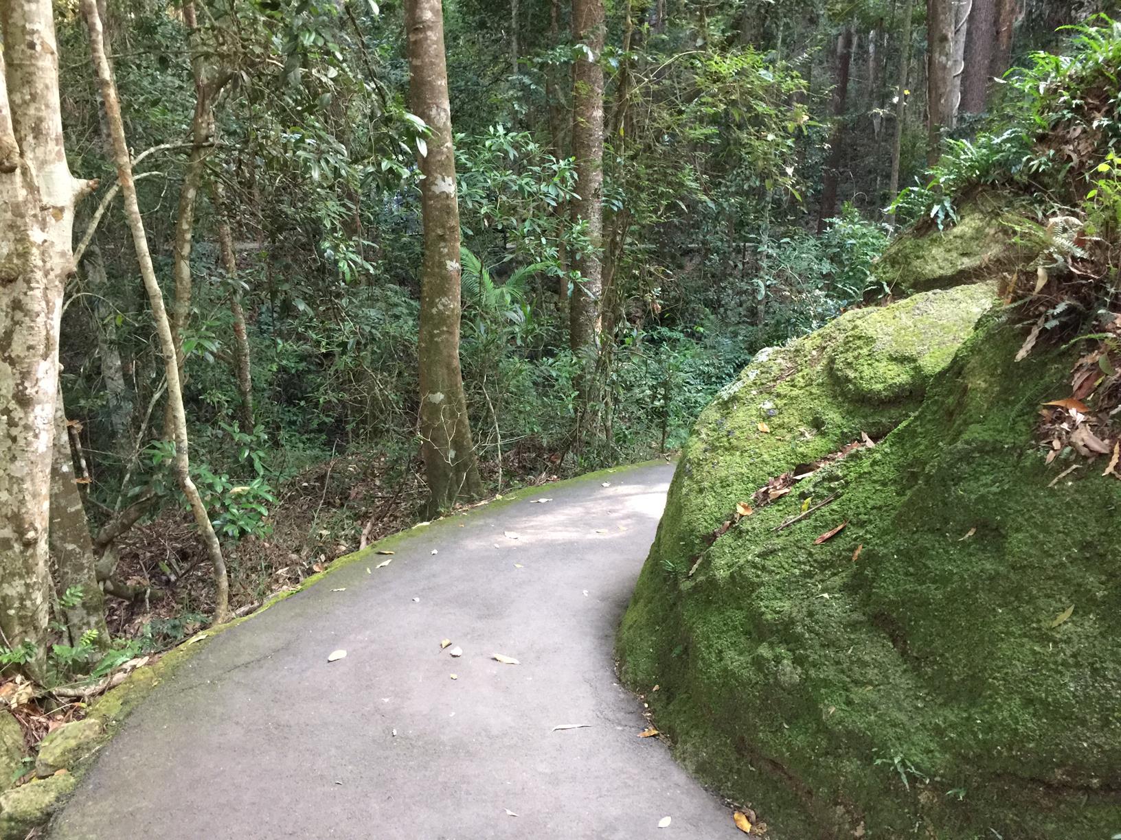
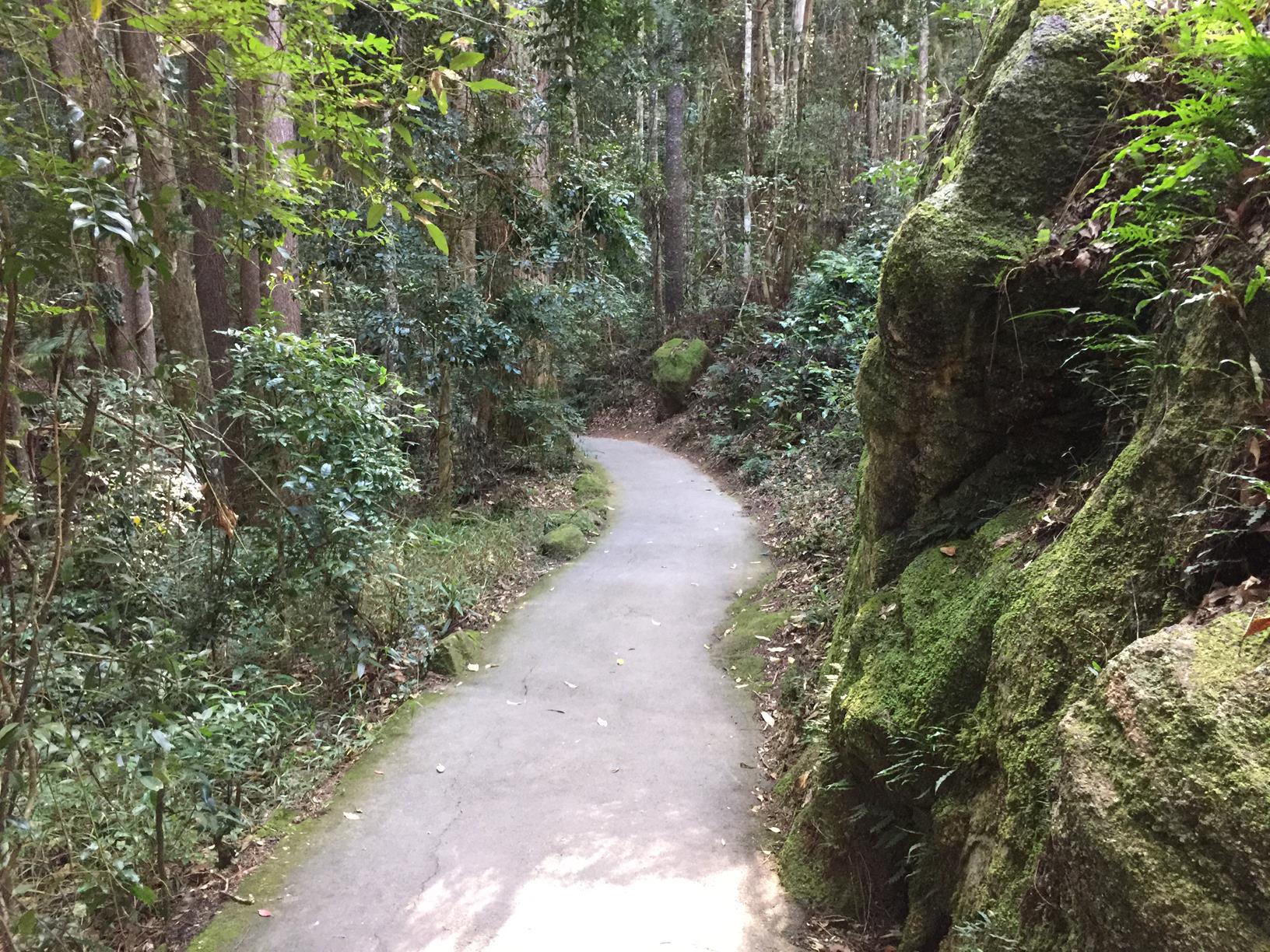
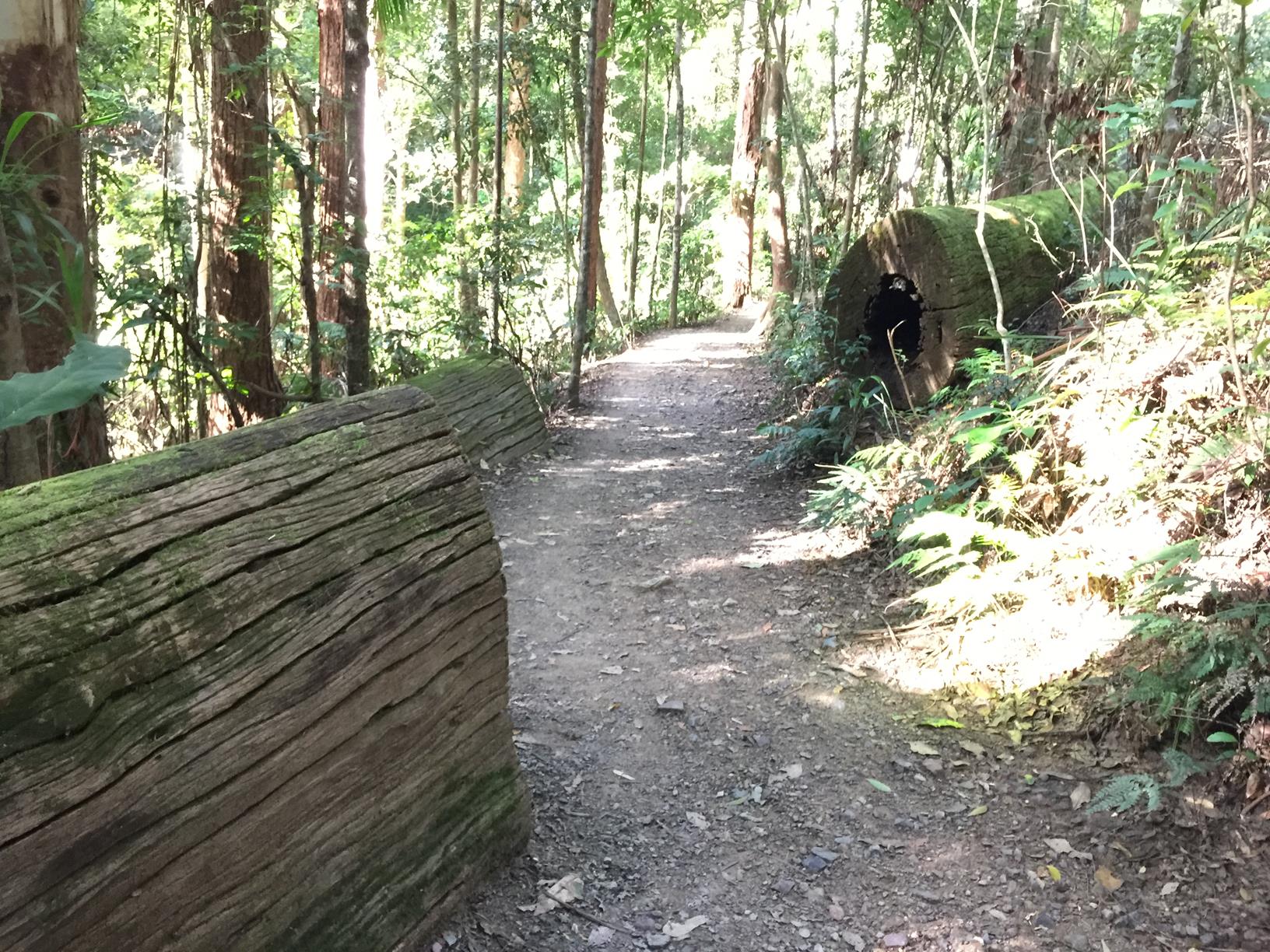
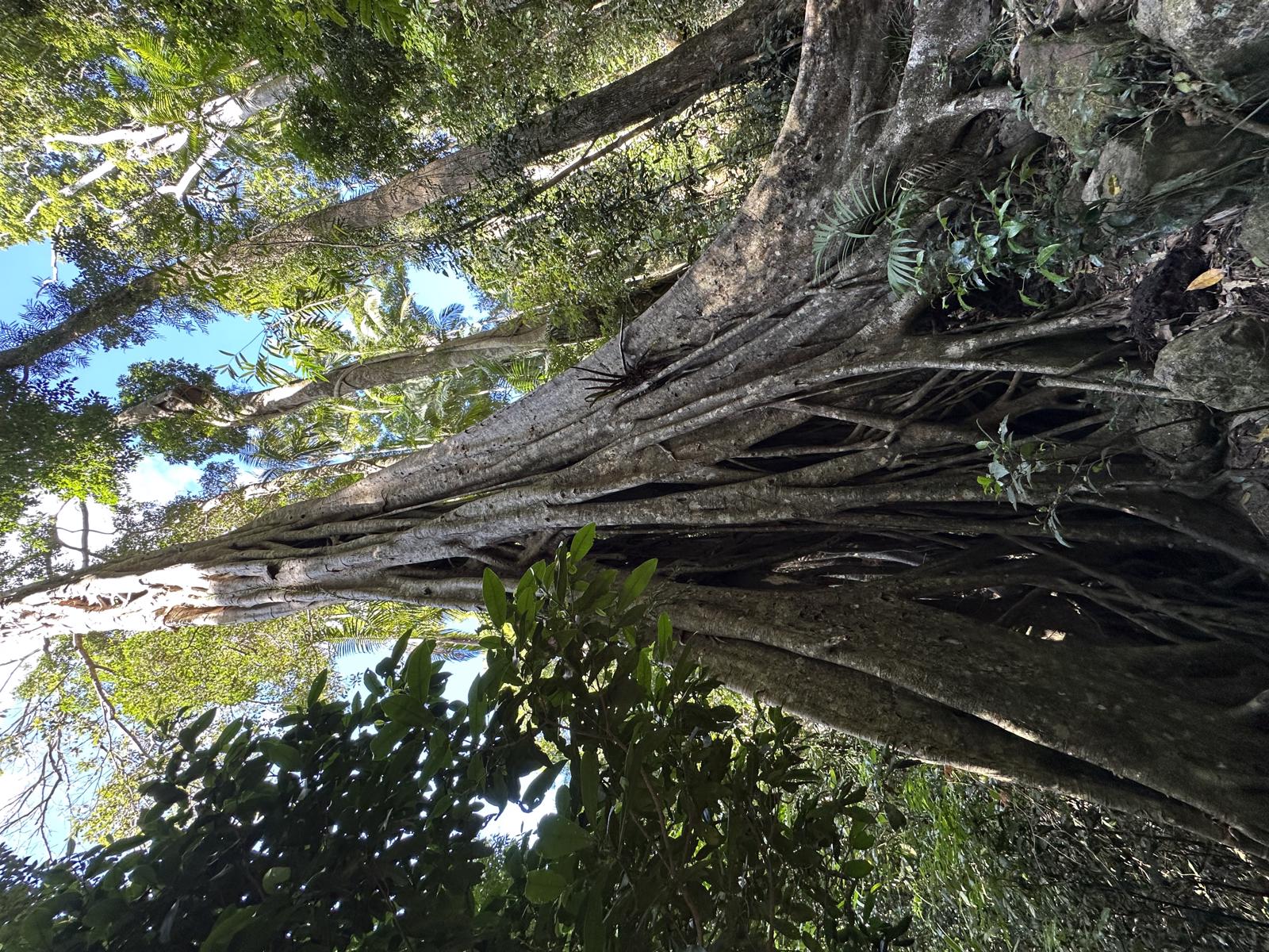
The Kondalilla Falls walk is part of the first section of the Sunshine Coast Hinterland Great Walk. The pathway is beautifully built for an accessible yet exciting experience. The manicured path means you can really enjoy the surrounding scenery on this short walk without watching your feet, and be mesmerised by the sound of the creek and birdlife in the virgin forest.

There are high and low paths that make a loop called Picnic Creek Circuit, with a diversion to the 100m high falls and swimming hole below (bring your togs). The water is cold, invigorating and inviting.

Make this adventure high on your list, it’s well worth it. Don't be put off by all the steps!

AFTERWARDS
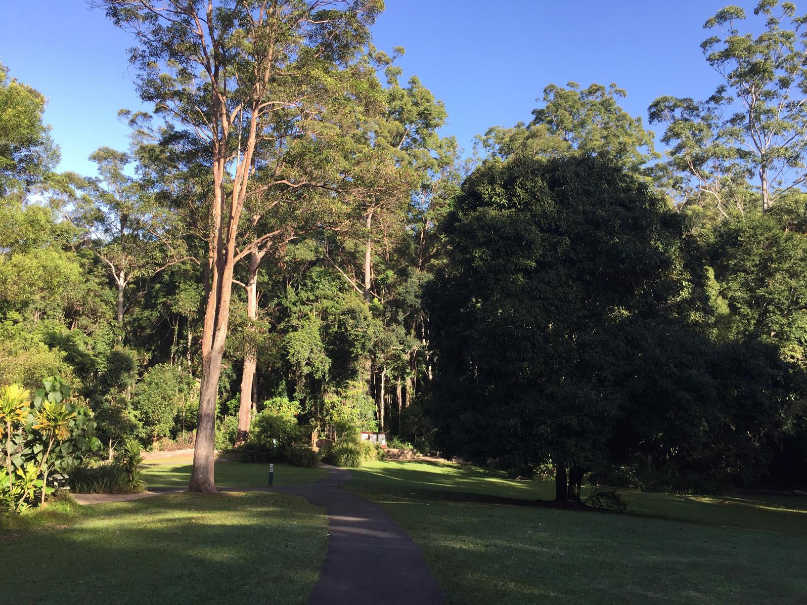
Enjoy a picnic or BBQ lunch in the park above the falls. Alternatively, the bustling tourist town of Montville is but a minutes drive away for sweet treats and souveniers.

HOW TO GET THERE
To the starting point: Travel on the Bruce Highway (M1) and take the Blackall Range tourist drive (23) – actual road is Landsborough Maleny Road. Turn right into Maleny Montville Road, which eventually becomes Balmoral Road and then Main Street as you come into Montville. Continue on this road which will become Flaxton Drive. Approximately 2.6km north of Montville turn left onto Kondalilla Falls Road and travel another 700m to the park entrance.

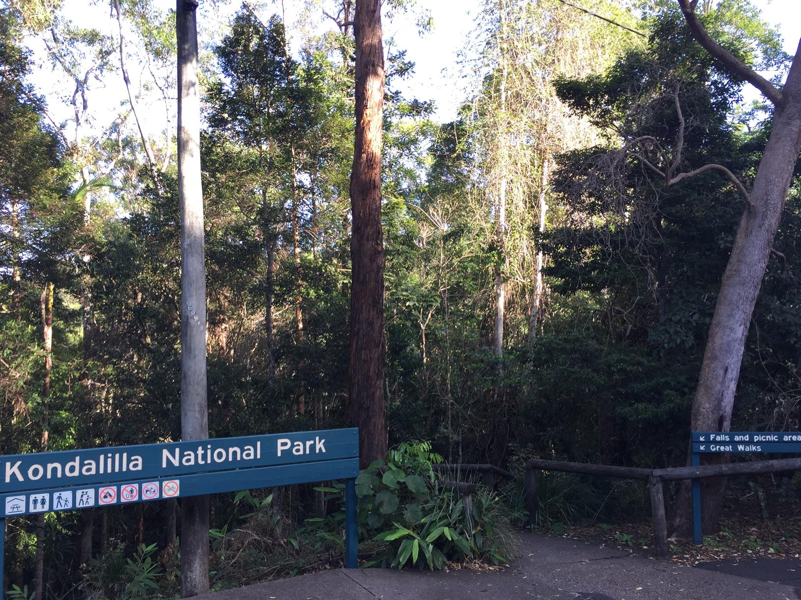
From the Kondalilla Falls Road car park, visitors can access the picnic area and the walking track entrance via a 150m downhill walk with multiple stairs.

To the end point: The is the same as your starting point.

glossary button
Glossary
  • Icon showing this activity is suitable for wheelchairsSuitable for wheelchairs
  • Icon showing this activity is suitable for walkingSuitable for walking
  • Icon showing this activity is suitable for recreational cyclingSuitable for recreational cycling
  • Icon showing this activity is suitable for mountain bikingSuitable for mountain biking
  • Icon showing this activity is suitable for horse ridingSuitable for horse riding
  • Icon showing this activity is suitable for kayakingSuitable for kayaking
  • Icon showing this activity has drinking water availableDrinking water available
  • Icon showing this activity does not have drinking water availableNo drinking water available
  • Icon showing this activity has a barbeque on siteBarbeque on site
  • Icon showing this activity has a picnic table on sitePicnic table on site
  • Icon showing this activity has toilets on siteToilets on site
  • Icon showing fires are permitted at this activityFires permitted
  • Icon showing fires are prohibited at this activityFires prohibited
  • Icon showing camping is permitted at this activityCamping permitted
  • Icon showing camping is prohibited at this activityCamping prohibited
  • Suitable for walking Suitable for walking black lines Suitable for walking
  • No drinking water available No drinking water available No drinking water available
  • barbeque on site barbeque on site Barbeque on site
  • Picnic table on site Picnic table on site Picnic table on site
  • toilets on site toilets on site Toilets on site
  • Fires prohibited Fires prohibited Fires prohibited
  • Camping prohibited Camping prohibited Camping prohibited
Write a review

Review Date: 06/05/2019

Kondalilla National Park is located next to Montville and is famous for a waterfall which is called by the same name. We took around two hours to do the biggest circuit, and it was worthy every ups and downs. Besides the main fall, that is amazing, there are many other small falls along the way, as well as a pool where people can swim. The day we went, it was a sunny day, and even though the temperature was not so high, some visitors were relaxing in the pool, while others were simply enjoying the beautiful views from the plateau where the pool sits. The walk within the bush was very pleasant, with giant trees all around, as well as ferns and other native plants. The park infrastructure is in good condition, with signs indicating the location of the attractions. Some parts of the track are paved, but you may expect some muddy areas after a period of rain. In the park entrance there are toilets and some picnic tables, but the water is not potable. There is a parking lot, but not many spaces available.

Reviewed By: Beatriz

Review Date: 30/11/2018

Did this walk on 24th October 18, water was in full flow and swimming was cold but what a experience, great views . The little one I carried on my back enjoyed the views

Reviewed By: Ashley

Review Date: 30/11/2018

The circuit makes for a great half-day hike, with the opportunity to have a refreshing swim afterwards. Plenty of great photo opportunities along the way.

Reviewed By: Chris

Review Date: 30/11/2018

A very pretty walk. Many steps down and back. Great exercise.

Reviewed By: Mel

Review Date: 19/11/2018

When you have a spare day to spend with your family or friends and aren't sure what to do, this is perfect! Walk the trail and cool off with a swim, and finish the day with lunch at Montville. A fairly cheap day too.

Reviewed By: Jade

Review Date: 15/11/2018

A beautiful place to visit. Only a short walk down to the falls, then follow the track as it meanders through rainforest. It is a relatively easy walk or run. Toilets and picnic areas are available.

Reviewed By: Carolyn

Review Date: 14/11/2018

This is a great swimming hole and the walk is just long enough to keep it from getting too crowded. Even on a really hot summer day the water is still very cold! Even if you don't swim it's still worth the walk through the different forest types and the views down the Obi Obi valley.

Reviewed By: Michael

Review Date: 11/11/2018

A beautiful walk down to the waterfall where you can enjoy a nice, brisk swim! Take the return leg easy as there's a few stairs but then enjoy the lovely grounds at the end and pack a picnic for afterwards! Highly recommended!

Reviewed By: Fiona

Review Date: 06/11/2018

The best waterfall swimming spot on the coast. Cool down with a refreshing swim or sit under the cascading falls. Circuit walk means great forest views West and return via the rainforest. Allow plenty of time to walk back up the hill to the car park.

Reviewed By: Angela

Review Date: 02/11/2018

The Kondalilla Falls Circuit is a beautiful walk with the falls as the highlight. The stairs are challenging if you are not prepared for them. I also encountered a snake on the trail, even though there where a lot of people around. Would recommend the walk to the Rocks Pools if you bring the kids. Very beautiful park!

Reviewed By: Stacey

Review Date: 01/11/2018

One of my favorite trails in the Sunshine Coast hinterland. A moderate walk down through lush rain forests lands you at a beautiful waterfall and swimming hole, albeit it quite chilly! From here you can continue downwards towards a lookout of the huge main waterfall. If you're feeling adventurous, continue heading down and get a view of the waterfall from the very base, which is also a great location for a photo

Reviewed By: Adam

Review Date: 01/11/2018

This walk was the perfect mix of nature, fitness and a rewarding swim in the rock pools. The first half of the walk is downhill, giving you multiple angles of the falls, then many stairs back up to the car park, but it is all worth it. Don't forget to pack swimmers and a picnic to sit by the pools after the hike.

Reviewed By: Jaimi

hazard icon

IN AN EMERGENCY DIAL '000'.

Always Adventure Safely!

  • Always follow any local signage, it contains key information and conditions can change at any time.
  • Use the trails with consideration for your abilities, be prepared for the adventure ahead:
    • Be aware of the weather conditions, found here: http://www.bom.gov.au/qld/.
    • Always wear appropriate clothing, focus on good footwear.
    • Always bring more water than you think you will need.
    • Be Sun Safe!
    • Always let someone know where you are going that isn’t going with you.
  • Just getting started try this site for good useful information: https://www.trailhiking.com.au/hike-safety/
  • Sunshine Coast Council does it’s best to maintain current information but things can change so always be aware that a trail may not be as listed in this guide, and report and issues via our feedback link.

Qld Parks and Wildlife Service

National Parks, Conservation Parks and some State Forests are managed by Queensland Parks and Wildlife Service. Contact details are: https://www.des.qld.gov.au/contactus/

For current information on trail conditions and alerts go to https://parks.des.qld.gov.au/park-alerts/#sunshinecoast

If you think something on this web site needs to change please let us know via: adventure@sunshinecoast.qld.gov.au

Nearby Trails

Trail Image for Sunshine Coast Hinterland Great Walk: Baroon Section
Difficult

Sunshine Coast Hinterland Great Walk: Baroon Section

Montville
walking icon
Trail type
difficulty icon
Skill Level

11.9km

Length
direction icon
One-way
Trail Image for Road Cycle Route: Hinterland Loop
Difficult

Road Cycle Route: Hinterland Loop

Balmoral Ridge
walking icon cycling icon
Trail type
difficulty icon
Skill Level

95.8km

Length
direction icon
Circuit
Trail Image for Road Cycle Route: SCC Big Loop
Difficult

Road Cycle Route: SCC Big Loop

Alexandra Headland
walking icon cycling icon
Trail type
difficulty icon
Skill Level

180.6km

Length
direction icon
Circuit
Trail Image for Sunshine Coast Hinterland Great Walk: Baroon Lookout
Difficult

Sunshine Coast Hinterland Great Walk: Baroon Lookout

Montville
walking icon
Trail type
difficulty icon
Skill Level

2.5km

Length
direction icon
One-way
Trail Image for Russell Family Park
Easy

Russell Family Park

Montville
walking icon cycling icon
Trail type
difficulty icon
Skill Level

0.9km

Length
direction icon
Circuit

Share this trail

This action requires a login.
To continue, click on Login/Signup below.

Photo uploaded successfully, thank you.

Feedback / Suggest an Adventure

If you have any feedback on the site or any of the trails, please drop us a short email.

Have we missed something? Do you have an adventure to suggest? Fill in the suggestion form to let us know about it.