facebook
Image showing that the PDF download is in progress... PDF download in progress

Please wait...

Image showing a pink decorative paint splat
Image showing a green decorative paint splat
upload photo button
reviews buttonReviews view map buttonMap
view 3d map button3D Map
directions take me there buttonDirections
Save
PDF
Gpx File

Lake MacDonald: Canoe/Kayak

Lake MacDonald: Canoe/Kayak
LAKE MACDONALD
canoe icon canoe icon black
Trail type
difficulty icon
Skill Level
4.9km
Length
direction icon direction icon black
Circuit

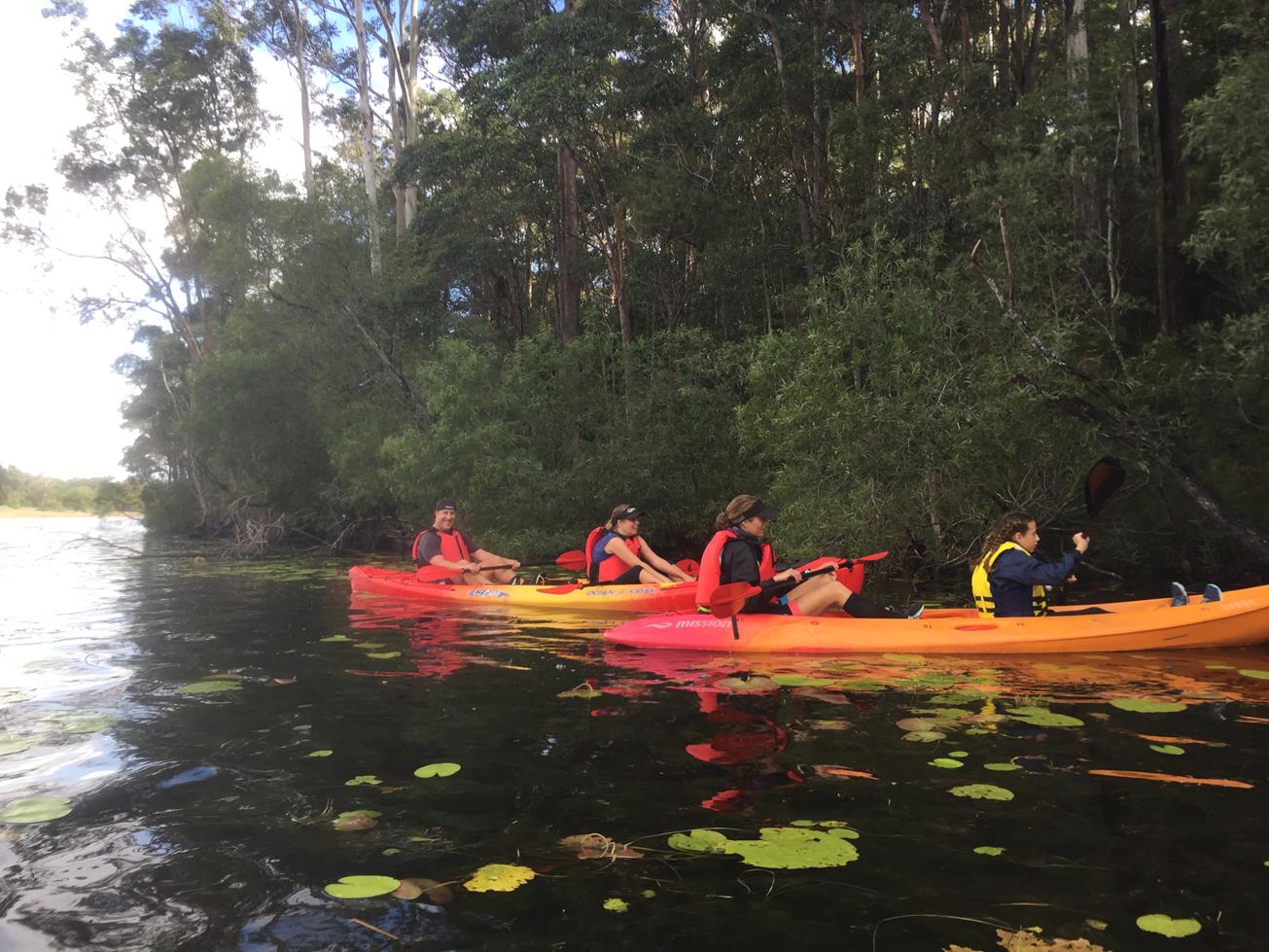
A peaceful lake to paddle that showcases beautiful natural woodlands and abundant birdlife including geese, ducks, egrets and pelicans.

SUITABLILITY
Very suitable for all levels of paddling from beginner to experienced.

HIGHLIGHTS
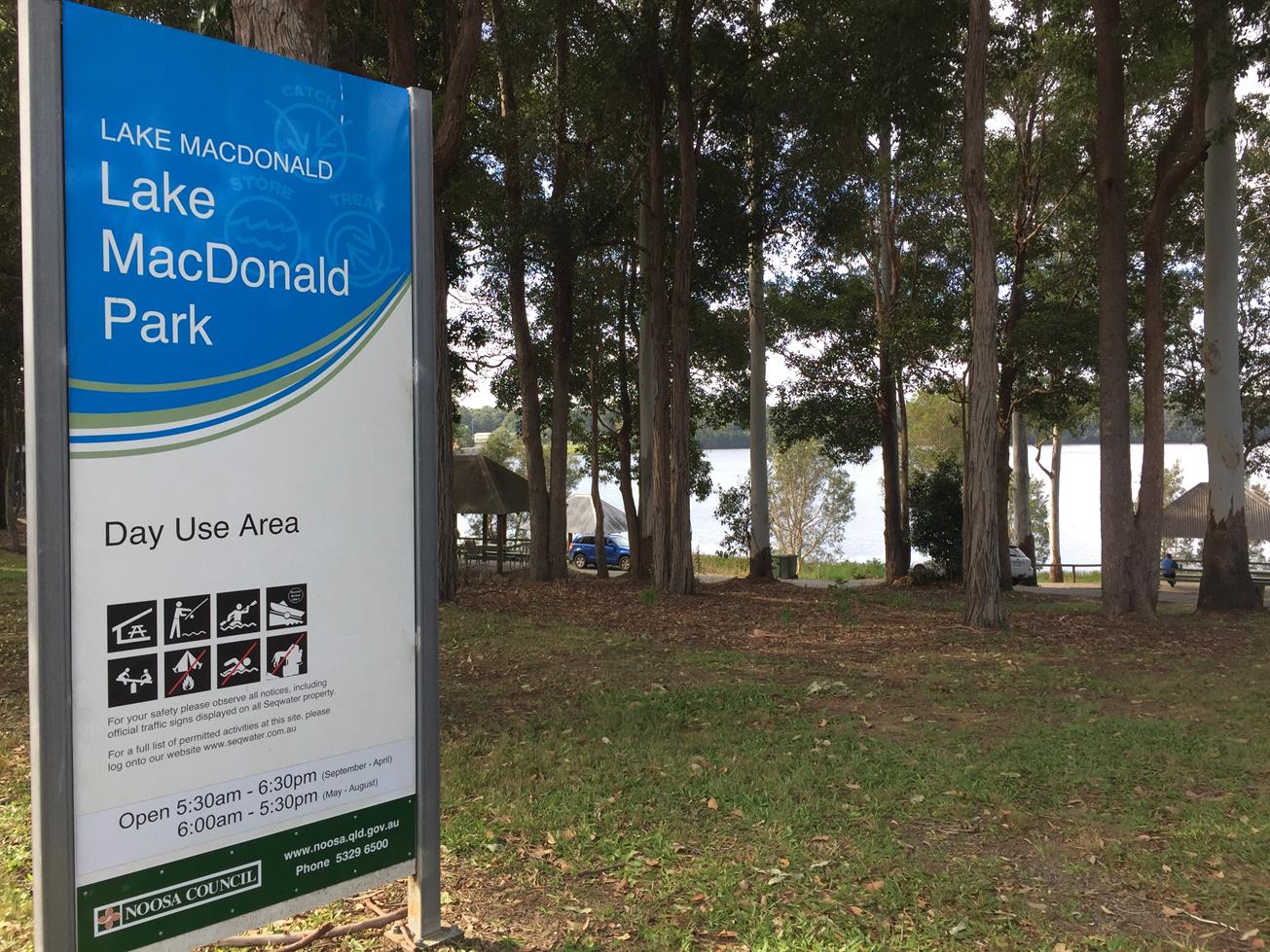
Lake Macdonald was named after the late Ian Macdonald who was Chairman of Noosa Council from 1964 to 1980.No motorised watercraft, water skiing, jet skiing, wakeboarding and tubing is permitted on Lake Macdonald so it is always a peaceful water experience should you choose to paddle it.

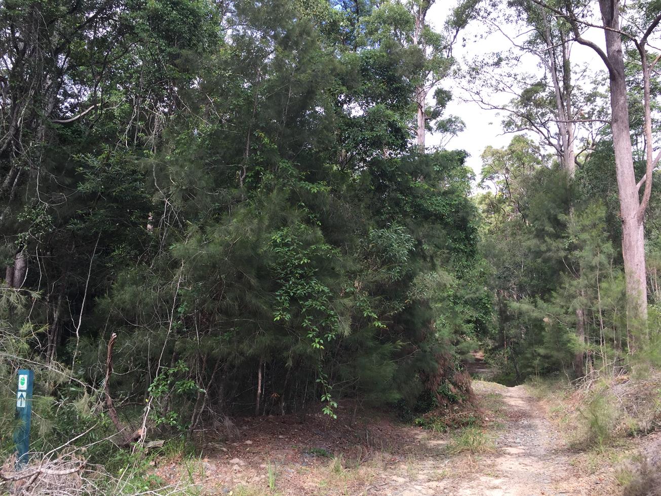
As it is a lake, it can be circumnavigated, however there are also various arms to the lake, so you can also head out and back depending on where you launch and what time you have available. Popular crossings include Jabiru Park to Mary River Cod Park return and Lake Macdonald Park to Mary River Cod Park return. The wooded section past Camp Cooroora is the most natural.

Along the foreshore you may see tortoises sunbaking, kangaroos or up to 40 species of birds including Magpie Geese, Pelicans, Black Swans, Darter, Little Black Cormorants, Pacific Black Ducks, Hardhead Ducks, White Ibis, Egrets, Purple Swamphens, Grebes, Storks, and Eurasian Coots. At different times of year there are dragonflies and damselflies and numerous species of butterfly flittering around the waters edge.

The Kabi Kabi people were the original custodians of Lake Macdonald, which is now part of SEQ’s water supply. Fishing is permitted at the Lake.

AFTERWARDS
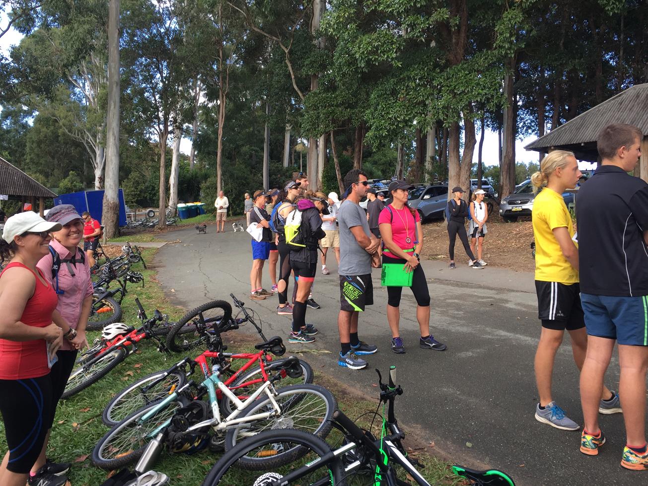
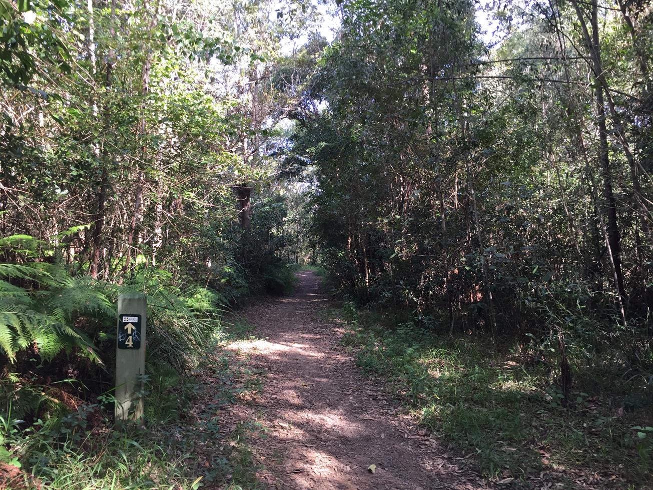
Adjacent to Lake Macdonald Park is the Noosa Botanic Gardens to explore. There are eight hectares of native and exotic plants. There are options for a BBQ or a picnic. Also on Lake Macdonald Drive is Kookaburra Park, which provides car parking for the entrance to the Noosa Trail Network for keen walkers, runners, horse riders and mountain bike riders.
Jabiru Park, is a popular view spot for Bird watchers. Camp Cooroora, near Mary Cod Park, offers camping to the public and is run by Scouts Australia, Queensland branch.
Nearby Cooroy offers cafes, restaurants, craft breweries and various second hand/antique shops to explore.

HOW TO GET THERE
To the starting point: From Cooroy, head east along Cooroy Noosa Road. There are three designated launching points on Lake MacDonald:
* Lake Macdonald Park/Perch Park (Lake Macdonald Drive just north of the botanic gardens)
* Mary River Cod Park pontoon or boat ramp (on Collwood Road off Lake Macdonald Drive)
* Jabiru Park (at the end of Grange Road off Cooroy Noosa Road) – paddle craft only

To the end point: The end point is the same as the starting point.

glossary button
Glossary
  • Icon showing this activity is suitable for wheelchairsSuitable for wheelchairs
  • Icon showing this activity is suitable for walkingSuitable for walking
  • Icon showing this activity is suitable for recreational cyclingSuitable for recreational cycling
  • Icon showing this activity is suitable for mountain bikingSuitable for mountain biking
  • Icon showing this activity is suitable for horse ridingSuitable for horse riding
  • Icon showing this activity is suitable for kayakingSuitable for kayaking
  • Icon showing this activity has drinking water availableDrinking water available
  • Icon showing this activity does not have drinking water availableNo drinking water available
  • Icon showing this activity has a barbeque on siteBarbeque on site
  • Icon showing this activity has a picnic table on sitePicnic table on site
  • Icon showing this activity has toilets on siteToilets on site
  • Icon showing fires are permitted at this activityFires permitted
  • Icon showing fires are prohibited at this activityFires prohibited
  • Icon showing camping is permitted at this activityCamping permitted
  • Icon showing camping is prohibited at this activityCamping prohibited
  • suitable for kayaking suitable for kayaking Suitable for kayaking
  • Drinking water available Drinking water available Drinking water available
  • barbeque on site barbeque on site Barbeque on site
  • Picnic table on site Picnic table on site Picnic table on site
  • toilets on site toilets on site Toilets on site
  • Fires prohibited Fires prohibited Fires prohibited
  • Camping permitted Camping permitted Camping permitted
Write a review

Be the first to review this trail.

hazard icon

IN AN EMERGENCY DIAL '000'.

Always Adventure Safely!

  • Always follow any local signage, it contains key information and conditions can change at any time.
  • Use the trails with consideration for your abilities, be prepared for the adventure ahead:
    • Be aware of the weather conditions, found here: http://www.bom.gov.au/qld/.
    • Always wear appropriate clothing, focus on good footwear.
    • Always bring more water than you think you will need.
    • Be Sun Safe!
    • Always let someone know where you are going that isn’t going with you.
  • Just getting started try this site for good useful information: https://www.trailhiking.com.au/hike-safety/
  • Sunshine Coast Council does it’s best to maintain current information but things can change so always be aware that a trail may not be as listed in this guide, and report and issues via our feedback link.

SEQ Water

For any issues with the trail please contact:

SEQ Water via 07 3035 5500 or communications@seqwater.com.au

If you think something on the web site needs to change please let us know via: adventure@sunshinecoast.qld.gov.au

Nearby Trails

Trail Image for Tewantin National Park: Lake MacDonald North.
Intermediate

Tewantin National Park: Lake MacDonald North.

LAKE MACDONALD
walking icon mountain biking icon
Trail type
difficulty icon
Skill Level

6.6km

Length
direction icon
Circuit
Trail Image for Lake MacDonald: Gumboil Road Trail to the Lake
Easy

Lake MacDonald: Gumboil Road Trail to the Lake

TINBEERWAH
walking icon
Trail type
difficulty icon
Skill Level

0.6km

Length
direction icon
One-way
Trail Image for Road Cycle Route: SCC Big Loop
Difficult

Road Cycle Route: SCC Big Loop

Alexandra Headland
walking icon cycling icon
Trail type
difficulty icon
Skill Level

180.6km

Length
direction icon
Circuit
Trail Image for Tewantin National Park: Mount Tinbeerwah
Easy

Tewantin National Park: Mount Tinbeerwah

TINBEERWAH
walking icon
Trail type
difficulty icon
Skill Level

0.6km

Length
direction icon
One-way
Trail Image for Tewantin National Park: Mt Tinbeerwah Eastern Waterfall
Difficult

Tewantin National Park: Mt Tinbeerwah Eastern Waterfall

COOROIBAH
walking icon
Trail type
difficulty icon
Skill Level

2.1km

Length
direction icon
One-way

Share this trail

This action requires a login.
To continue, click on Login/Signup below.

Photo uploaded successfully, thank you.

Feedback / Suggest an Adventure

If you have any feedback on the site or any of the trails, please drop us a short email.

Have we missed something? Do you have an adventure to suggest? Fill in the suggestion form to let us know about it.