facebook
Image showing that the PDF download is in progress... PDF download in progress

Please wait...

Image showing a pink decorative paint splat
Image showing a green decorative paint splat
upload photo button
reviews buttonReviews view map buttonMap
view 3d map button3D Map
directions take me there buttonDirections
Save
PDF
Gpx File

Point Cartwright Loop

Point Cartwright Loop
Buddina
walking icon walking icon black
Trail type
difficulty icon
Skill Level
2.0km
Length
direction icon direction icon black
Circuit

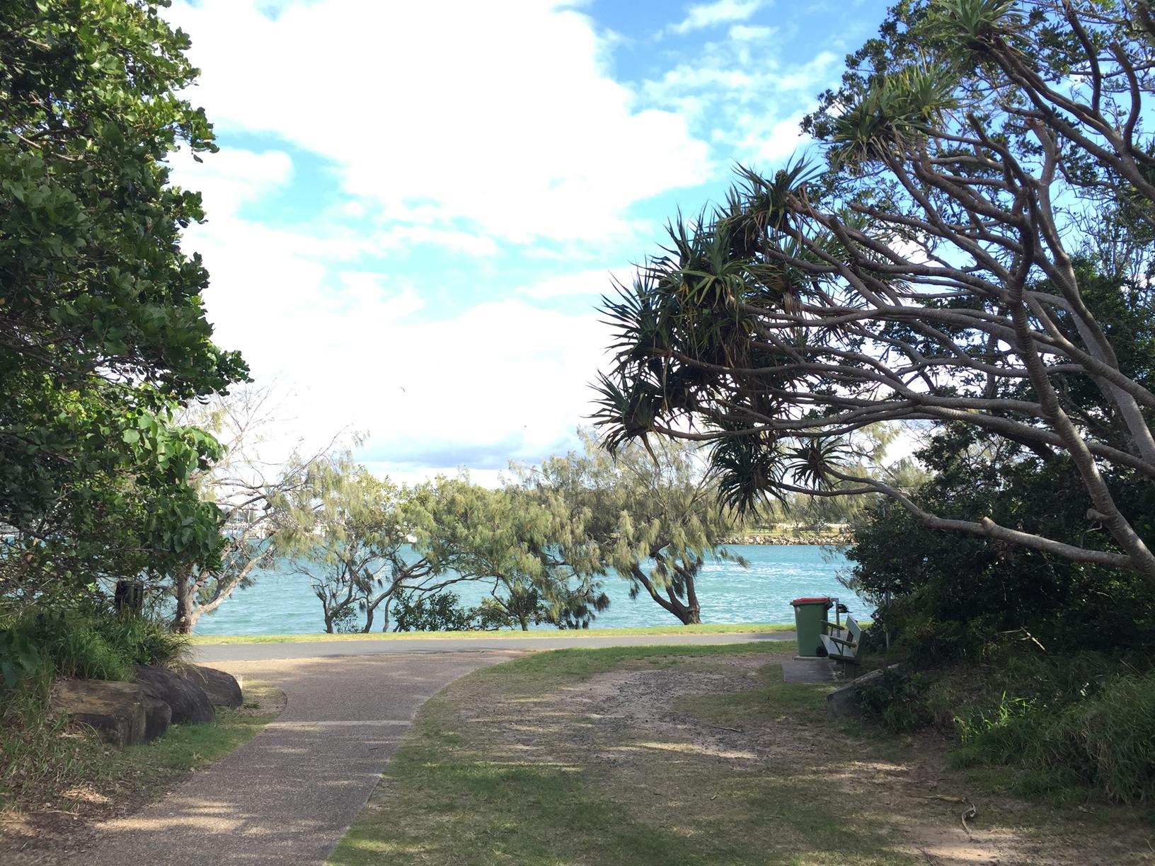
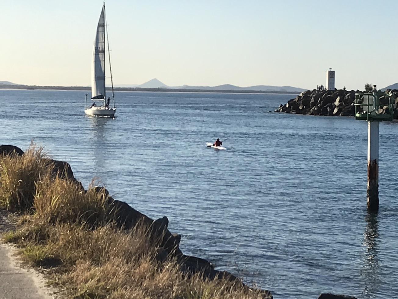
A coastal path that takes you round Point Cartwright lighthouse overlooking the Mooloolah River, Mooloolah Spit and the coast.

SUITABILITY
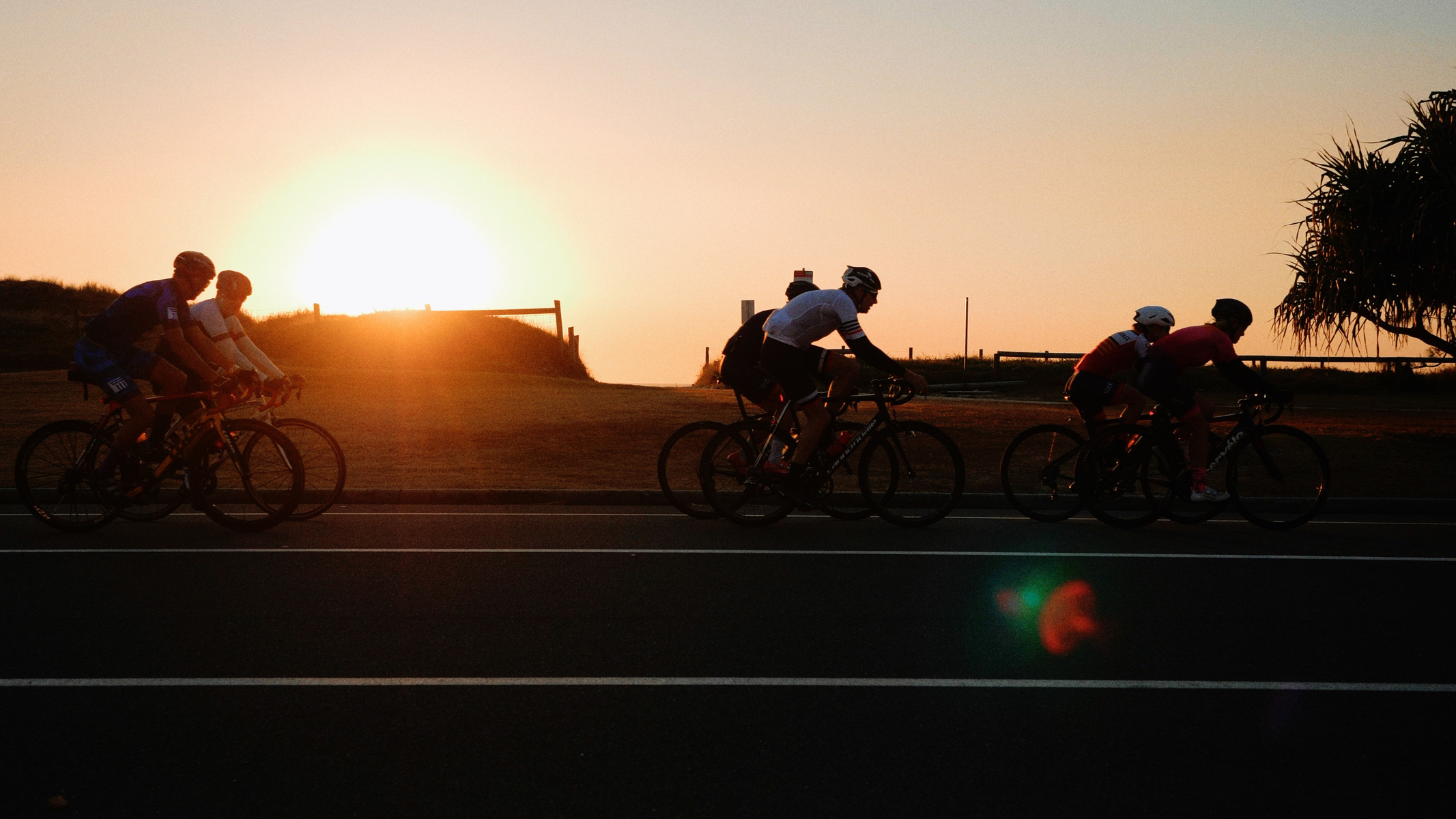
Suitable for walkers and recreational cyclists (mostly).

HIGHLIGHTS
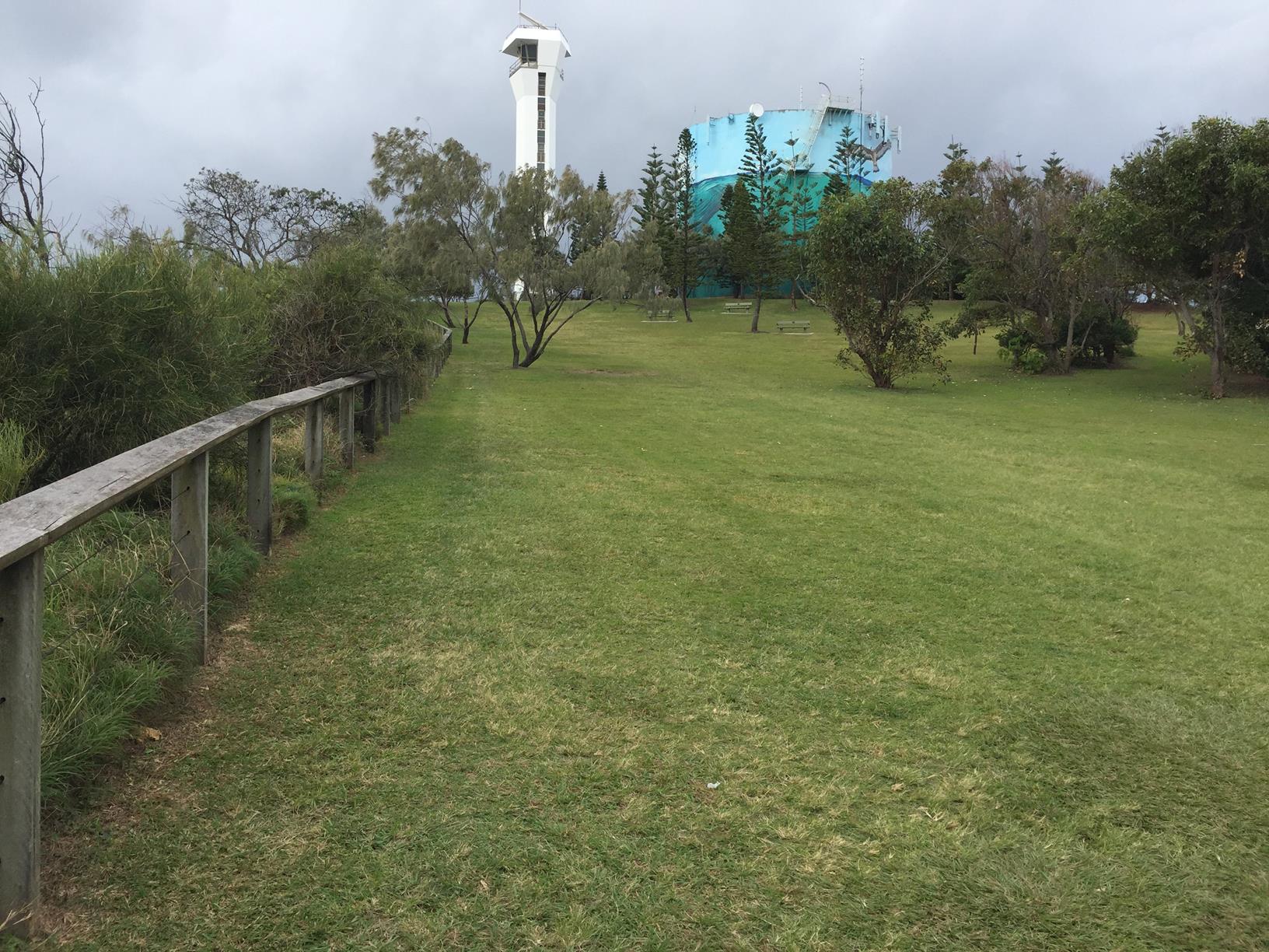
Located near the mouth of the Mooloolah River, Point Cartwright is renowned for its scenic beauty and landmark lighthouse. The current reinforced concrete pentagonal tower, measuring 32.4 metres in height, was opened in 1979, replacing earlier lighthouses that had been guiding ships into Moreton Bay since 1896.

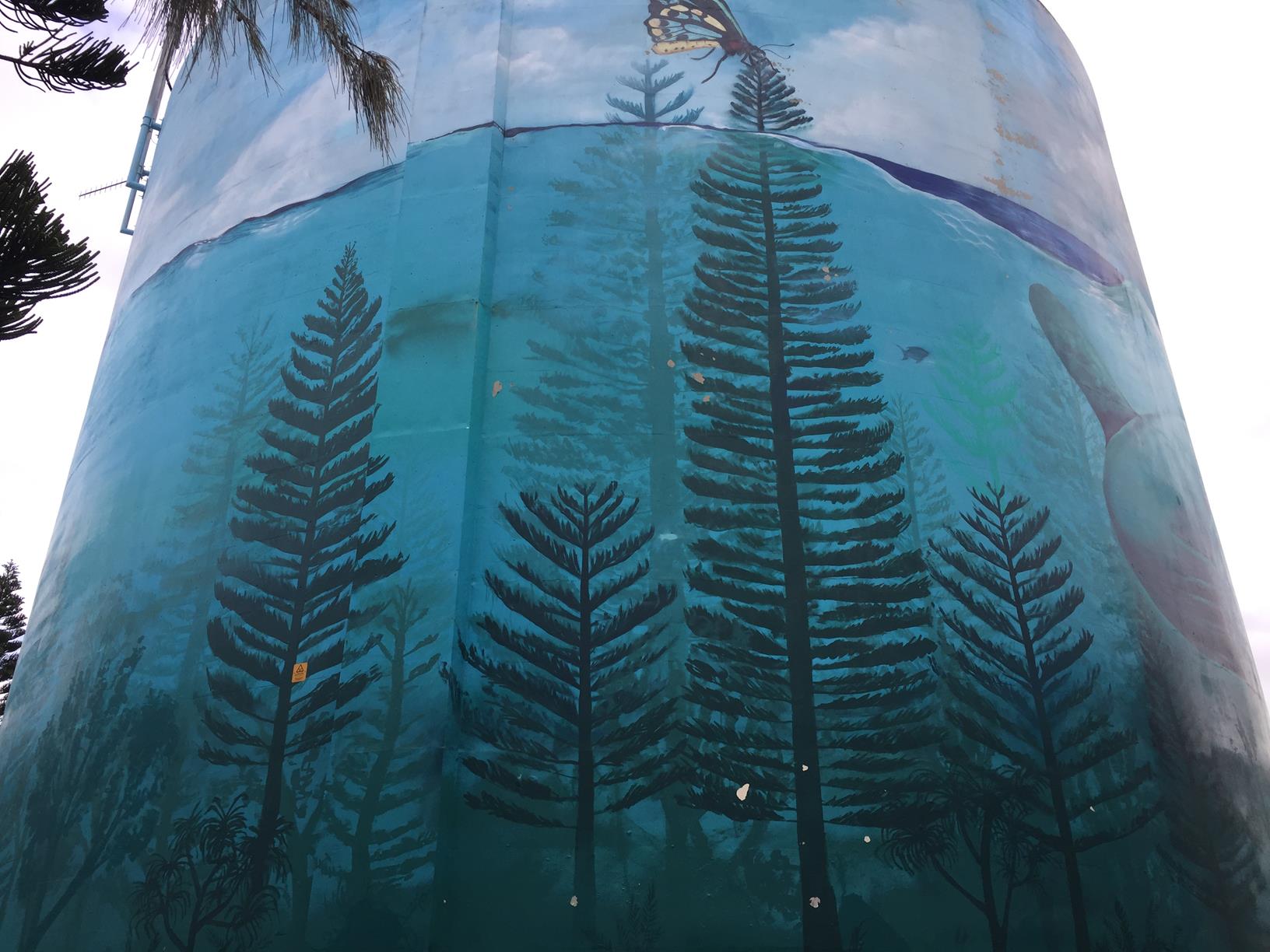
Next to the lighthouse is a reservoir featuring a stunning ocean mural, giving yet another reason to visit this area.

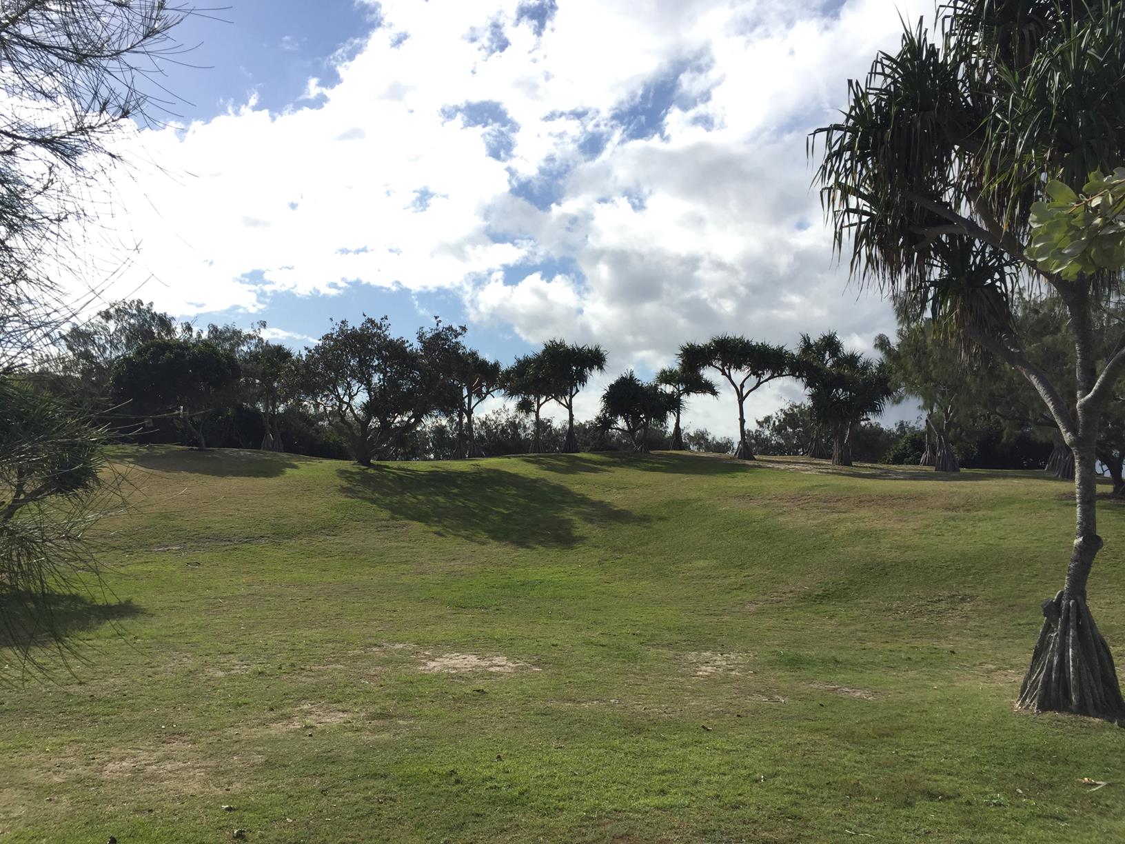
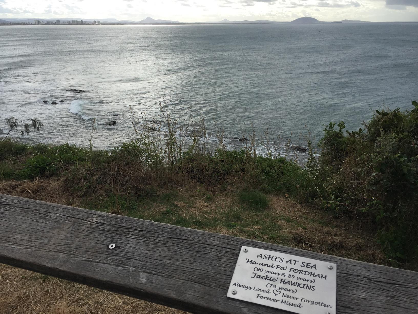
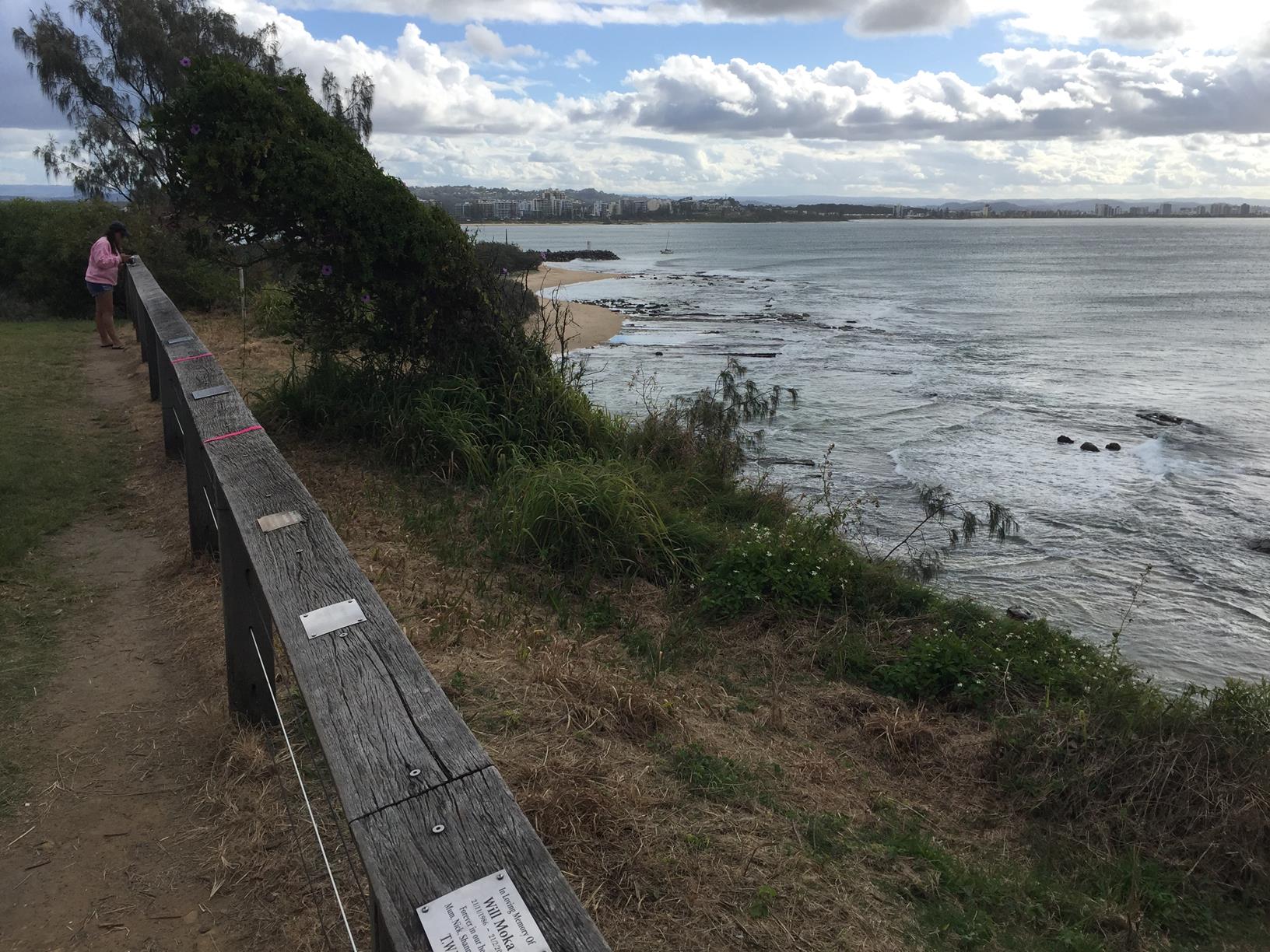
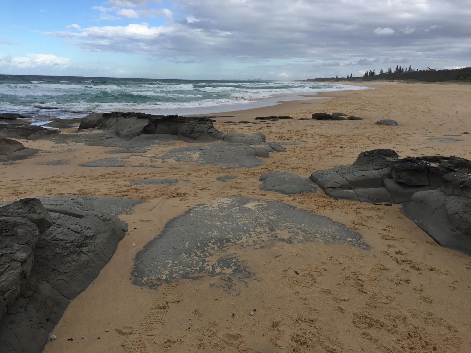
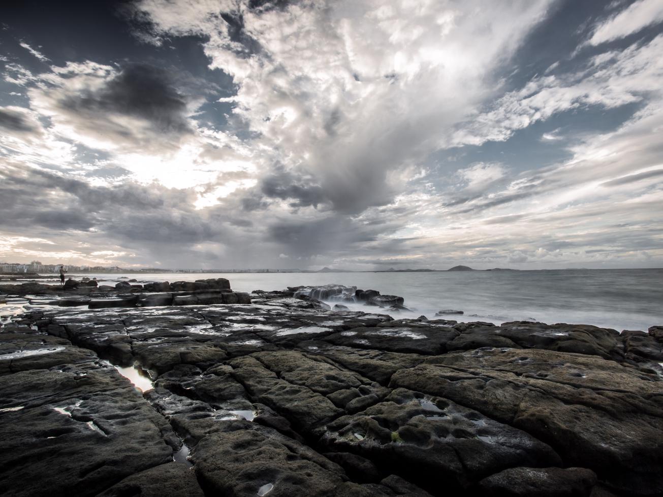
This reserve has long been a popular venue for weddings, picnics, rock fishing and rockpool exploring.

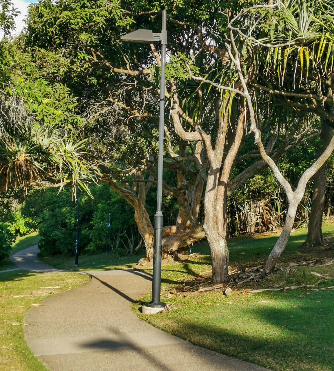
Start either from La Balsa Park down by the river or, as mapped here, the Reserve carpark at the end of Pacific Boulevard.

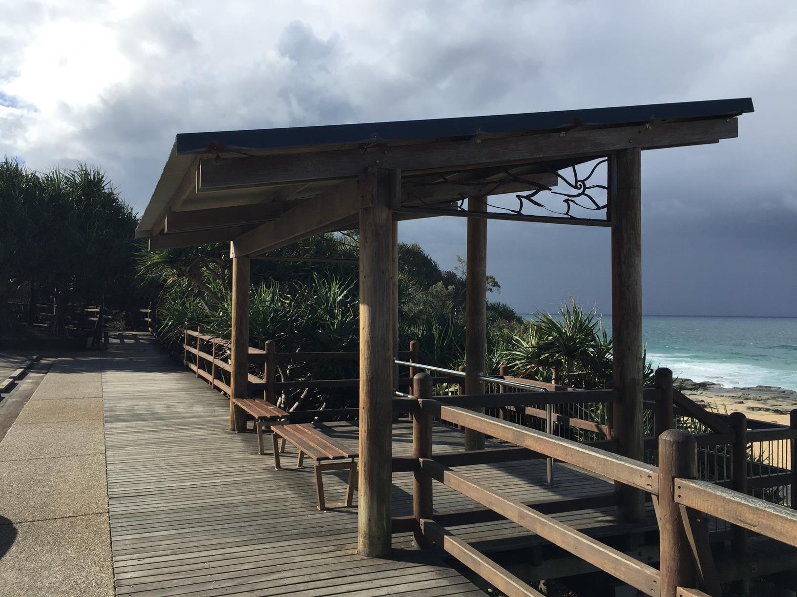
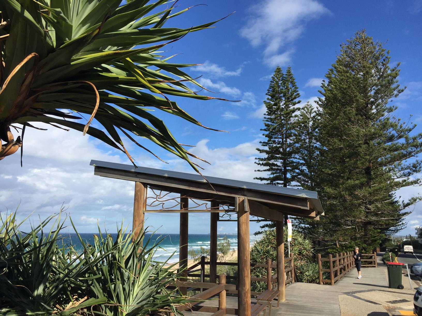
There are plenty of seats and places to sit and soak it all up, marvelling at the absolutely gorgeous beaches and rock pools. You might be lucky and see a seal resting on the rocks.

Swimming is at your own risk. Be careful descending down the ocean side to the beach.

AFTERWARDS
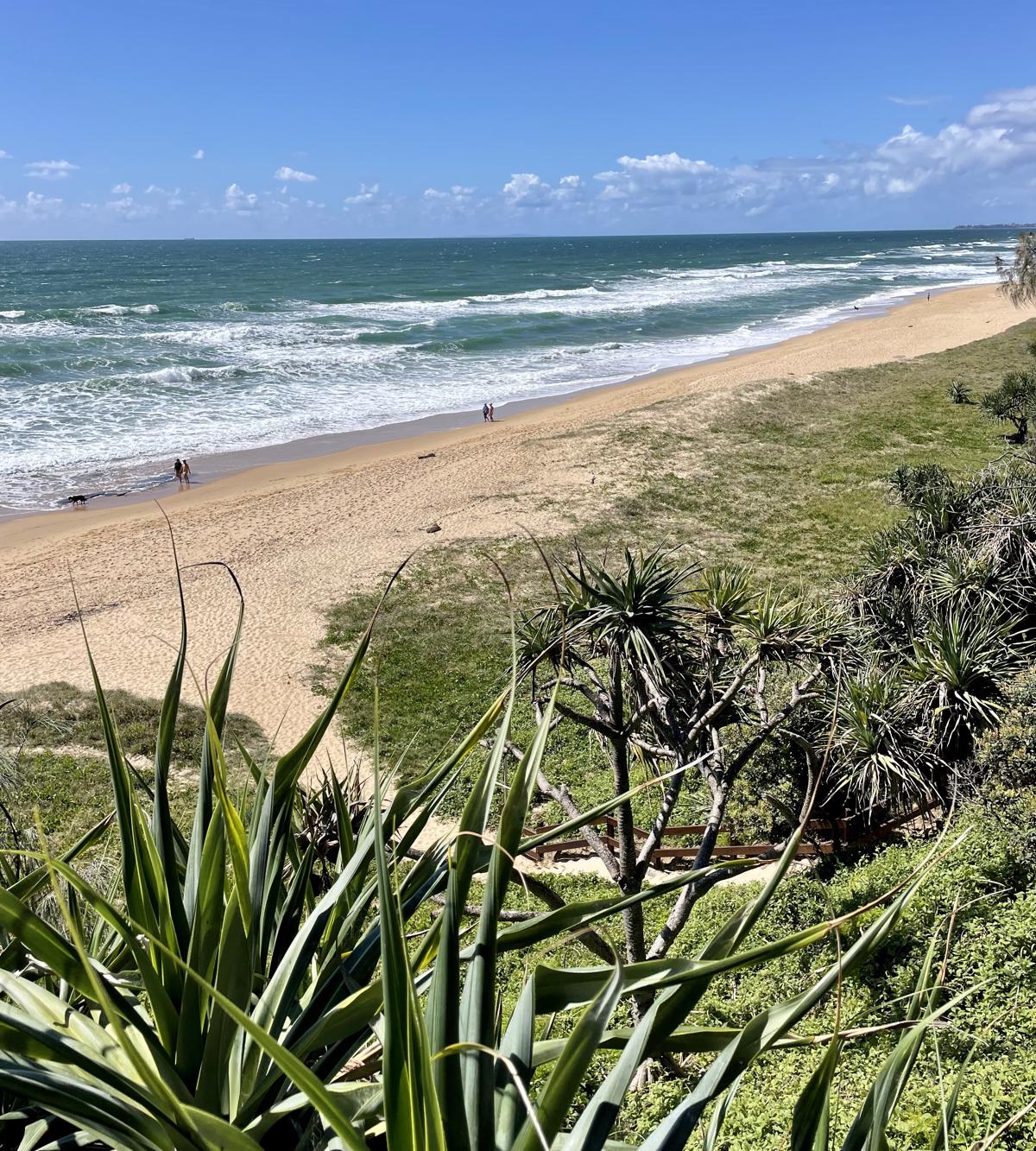
Point Cartwright is part of the 96 km Sunshine Coast Coastal Pathway and the top end of the Caloundra section. For a longer walk you can follow Pacific Boulevard and the beach southwards. There are numerous picnic spots, toilets, viewing sites and beach access points along the way.

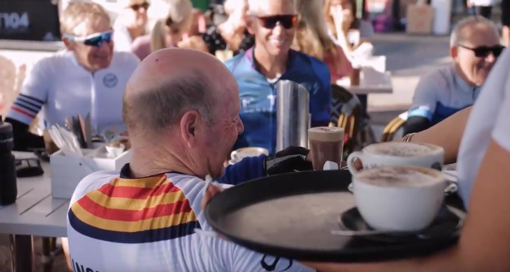
For food and refreshments there are lots of option close by including CK Coffee Bar & Wholefoods and the Surf Club at Mooloolaba.

HOW TO GET THERE
To the starting point: Make your way to Nicklin Way Kawana, accessible via the Southern end of the Sunshine Coast Motorway. On the northside of Kawana Shopping World take Point Cartwright Drive. Follow this road for 2 km and then turn left into Pacific Boulevard. Stop at the carpark near the start of the parklands.

To the end point: The end point is the same as the starting point.

glossary button
Glossary
  • Icon showing this activity is suitable for wheelchairsSuitable for wheelchairs
  • Icon showing this activity is suitable for walkingSuitable for walking
  • Icon showing this activity is suitable for recreational cyclingSuitable for recreational cycling
  • Icon showing this activity is suitable for mountain bikingSuitable for mountain biking
  • Icon showing this activity is suitable for horse ridingSuitable for horse riding
  • Icon showing this activity is suitable for kayakingSuitable for kayaking
  • Icon showing this activity has drinking water availableDrinking water available
  • Icon showing this activity does not have drinking water availableNo drinking water available
  • Icon showing this activity has a barbeque on siteBarbeque on site
  • Icon showing this activity has a picnic table on sitePicnic table on site
  • Icon showing this activity has toilets on siteToilets on site
  • Icon showing fires are permitted at this activityFires permitted
  • Icon showing fires are prohibited at this activityFires prohibited
  • Icon showing camping is permitted at this activityCamping permitted
  • Icon showing camping is prohibited at this activityCamping prohibited
  • Suitable for walking Suitable for walking black lines Suitable for walking
  • Drinking water available Drinking water available Drinking water available
  • barbeque on site barbeque on site Barbeque on site
  • Picnic table on site Picnic table on site Picnic table on site
  • toilets on site toilets on site Toilets on site
  • Fires prohibited Fires prohibited Fires prohibited
  • Camping prohibited Camping prohibited Camping prohibited
Write a review

Review Date: 31/05/2019

This walk is the best of both worlds - doggy paradise where our furry friends get to meet and greet other dogs, have a swim and enjoy a beach walk with us. Our kids love the walk and jump in for a swim as well or explore the rock pools at low tide. Just a magical place at anytime of the day but low tide allows to walk around the point and even finish up on the grassy slopes near the lighthouse to enjoy the sunset in this beautiful place. Something for all ages, human or four legged!

Reviewed By: Sheryl

Review Date: 11/05/2019

Beautiful walk, perfect for kids and pram friendly. Amazing views from the top and great stretch of beach to discover lots of interesting shells. Our kids just love it.

Reviewed By: Michaela

Review Date: 30/11/2018

This is one of the best sunset walks to take on the Sunshine Coast! Time it right to catch the sunset from either the light tower on the groin or from the water tank at the top of the hill (and whilst you're there - check out the beautiful mural). With dogs permitted off-leash along certain segments of this trail (early morning and late afternoon) - it's a haven for four-legged friends.

Reviewed By: Jasmine

Review Date: 28/11/2018

Pleasant suburban walk. The highlight for me were the views along the coastline towards the south. Very busy sight and popular with dog owners. Try another location if you are after a bush walk.

Reviewed By: Wendy

Review Date: 06/11/2018

Beautiful walk around one of our coastal jewels. Easy walking for all ages and great for families with small children in strollers or on trikes. Before 8am dogs are allowed off leash in much of the reserve so it is a very popular informal meeting place for regular dog walkers.

Reviewed By: Julie

Review Date: 02/11/2018

A fairly short walk from the car park to the lighthouse giving you views along the northern and southern coast's. Take a picnic blanket and some snacks and enjoy the scenery, particularly for a morning sunrise or afternoon sunset.

Reviewed By: Adam

hazard icon

IN AN EMERGENCY DIAL '000'.

Always Adventure Safely!

  • Always follow any local signage, it contains key information and conditions can change at any time.
  • Use the trails with consideration for your abilities, be prepared for the adventure ahead:
    • Be aware of the weather conditions, found here: http://www.bom.gov.au/qld/.
    • Always wear appropriate clothing, focus on good footwear.
    • Always bring more water than you think you will need.
    • Be Sun Safe!
    • Always let someone know where you are going that isn’t going with you.
  • Just getting started try this site for good useful information: https://www.trailhiking.com.au/hike-safety/
  • Sunshine Coast Council does it’s best to maintain current information but things can change so always be aware that a trail may not be as listed in this guide, and report and issues via our feedback link.

Sunshine Coast Council

For any issues with this experience please contact:

Sunshine Coast Council via 07 5475 7272 or via e-mail: adventure@sunshinecoast.qld.gov.au

Nearby Trails

Trail Image for Coastal Pathway: Kawana Beach to Pt Cartwright
Easy

Coastal Pathway: Kawana Beach to Pt Cartwright

Buddina
walking icon cycling icon
Trail type
difficulty icon
Skill Level

3.1km

Length
direction icon
Circuit
Trail Image for Coastal Pathway: Mooloolah River to Alexandra Headland
Easy

Coastal Pathway: Mooloolah River to Alexandra Headland

Alexandra Headland
walking icon cycling icon
Trail type
difficulty icon
Skill Level

3.7km

Length
direction icon
One-way
Trail Image for Road Cycle Route: Pt. Cartwright to Moffat Beach
Difficult

Road Cycle Route: Pt. Cartwright to Moffat Beach

Aroona
walking icon cycling icon
Trail type
difficulty icon
Skill Level

30.6km

Length
direction icon
One-way
Trail Image for Road Cycle Route: University Loop
Difficult

Road Cycle Route: University Loop

Buderim
walking icon cycling icon
Trail type
difficulty icon
Skill Level

17.8km

Length
direction icon
Circuit
Trail Image for Mooloolaba Paddle
Intermediate

Mooloolaba Paddle

Mooloolaba
canoeing icon
Trail type
difficulty icon
Skill Level

4.5km

Length
direction icon
Circuit

Share this trail

This action requires a login.
To continue, click on Login/Signup below.

Photo uploaded successfully, thank you.

Feedback / Suggest an Adventure

If you have any feedback on the site or any of the trails, please drop us a short email.

Have we missed something? Do you have an adventure to suggest? Fill in the suggestion form to let us know about it.