facebook
Image showing that the PDF download is in progress... PDF download in progress

Please wait...

Image showing a pink decorative paint splat
Image showing a green decorative paint splat
upload photo button

NOTE: This adventure is in Conondale National Park for current Queensland Parks and Wildlife Service parks information, maps and essential park alerts click here

reviews buttonReviews view map buttonMap
view 3d map button3D Map
directions take me there buttonDirections
Save
PDF
Gpx File

Conondale National Park: Booloumba Falls

Conondale National Park: Booloumba Falls
Kenilworth
walking icon walking icon black
Trail type
difficulty icon
Skill Level
1.7km
One-way Length
direction icon direction icon black
One-way

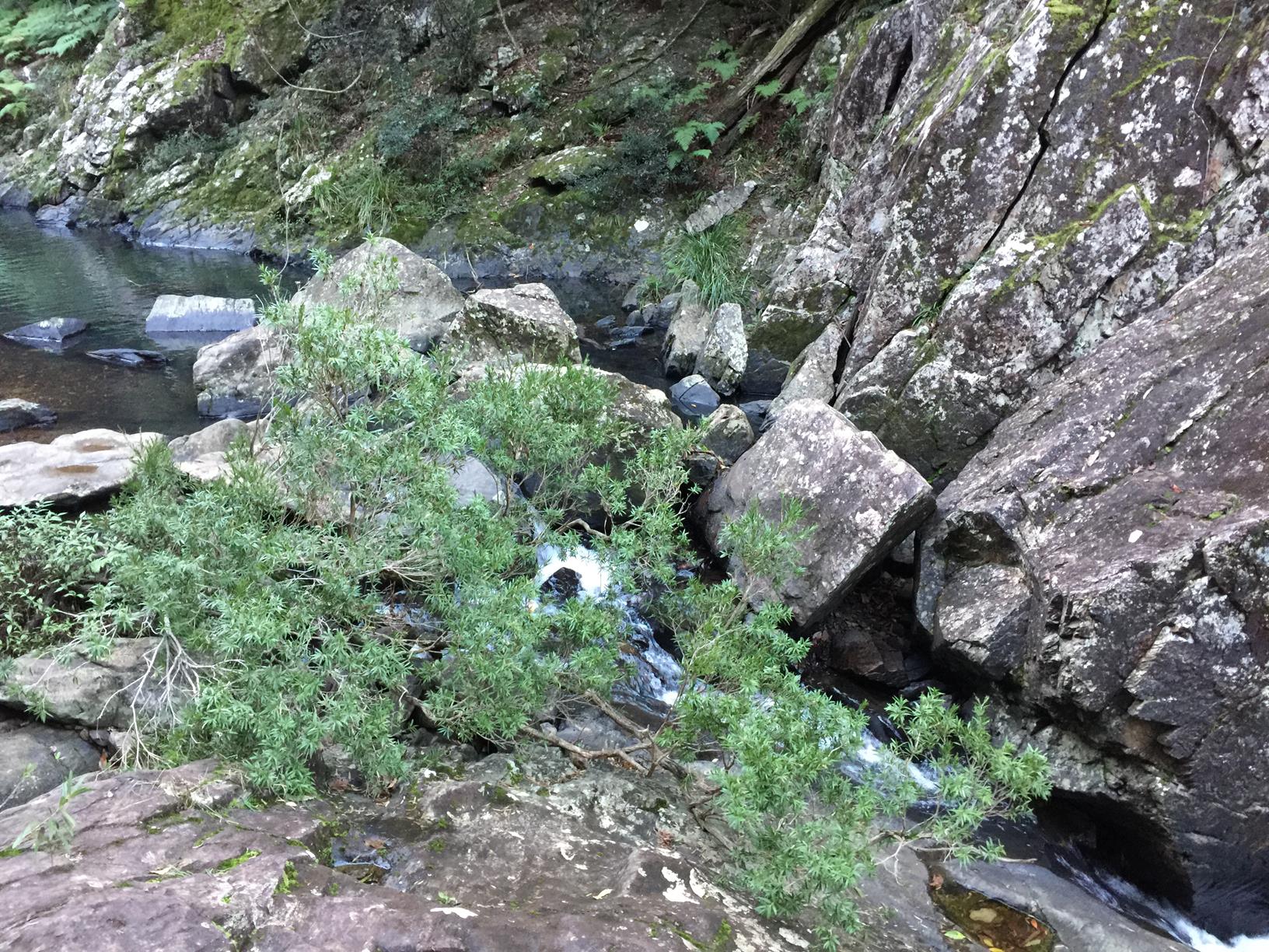
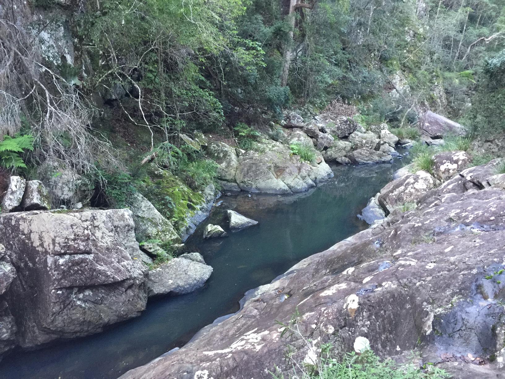
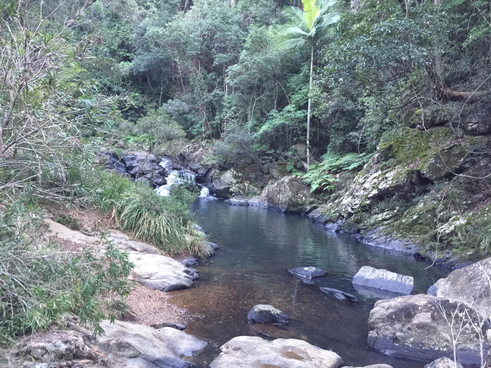
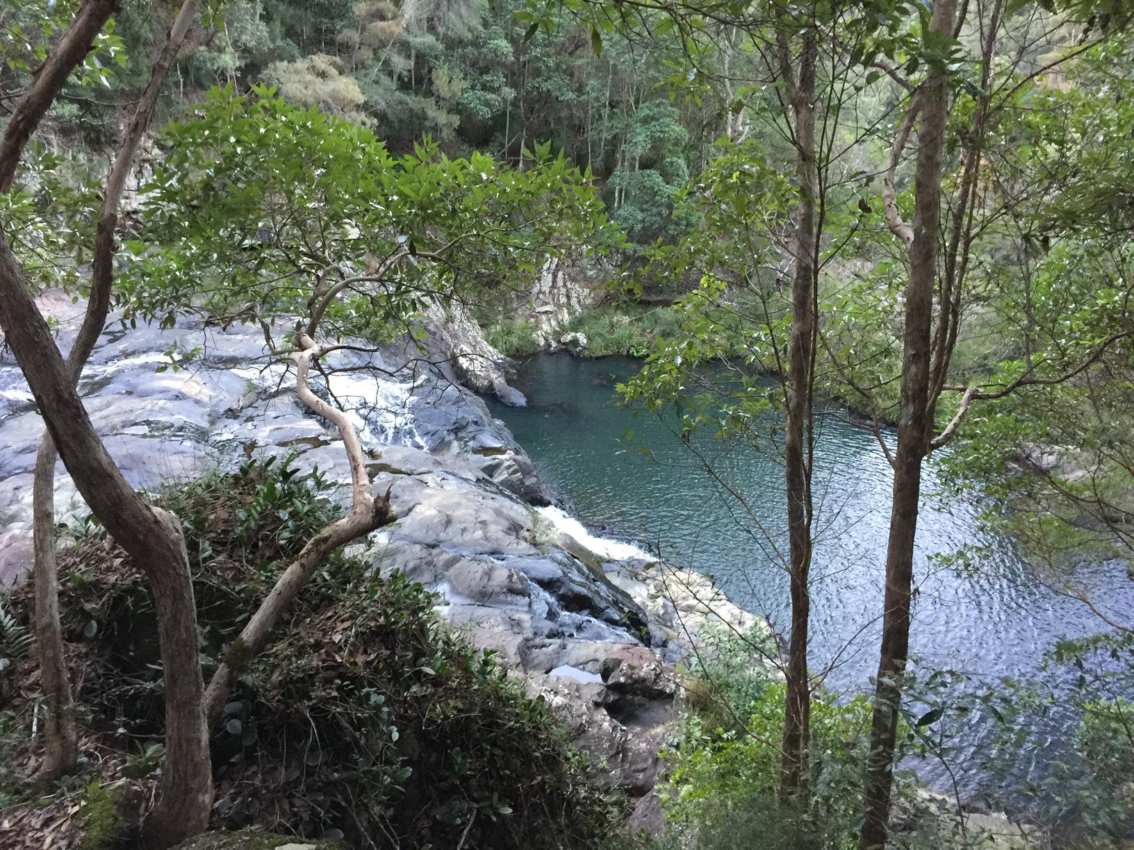
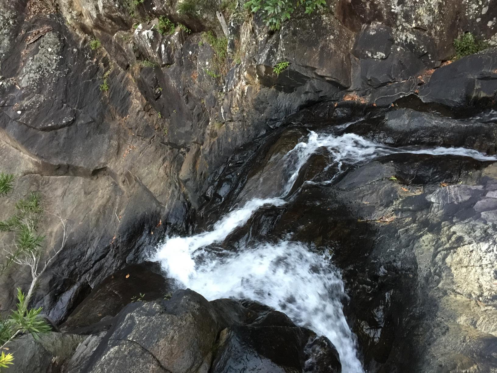
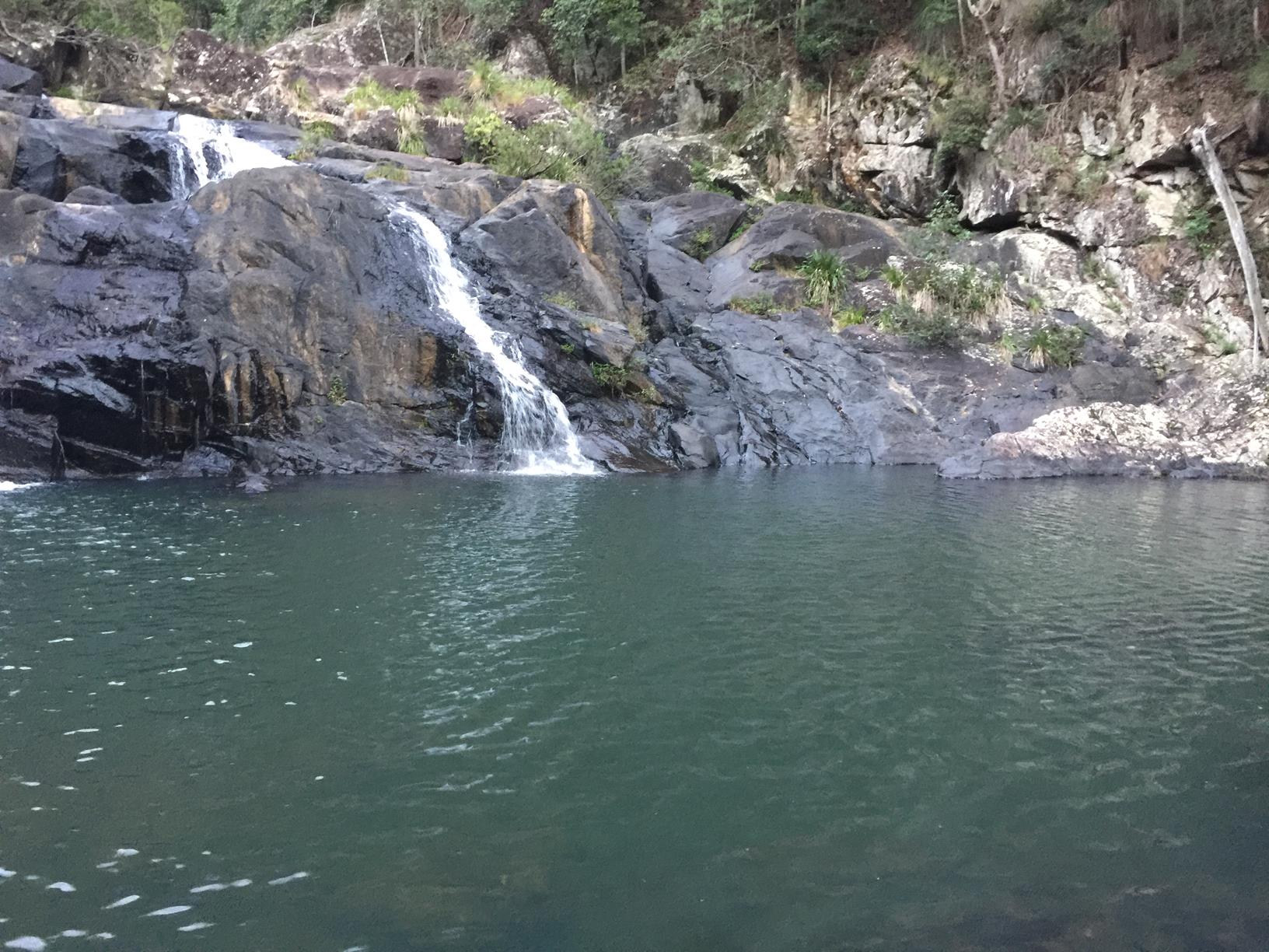
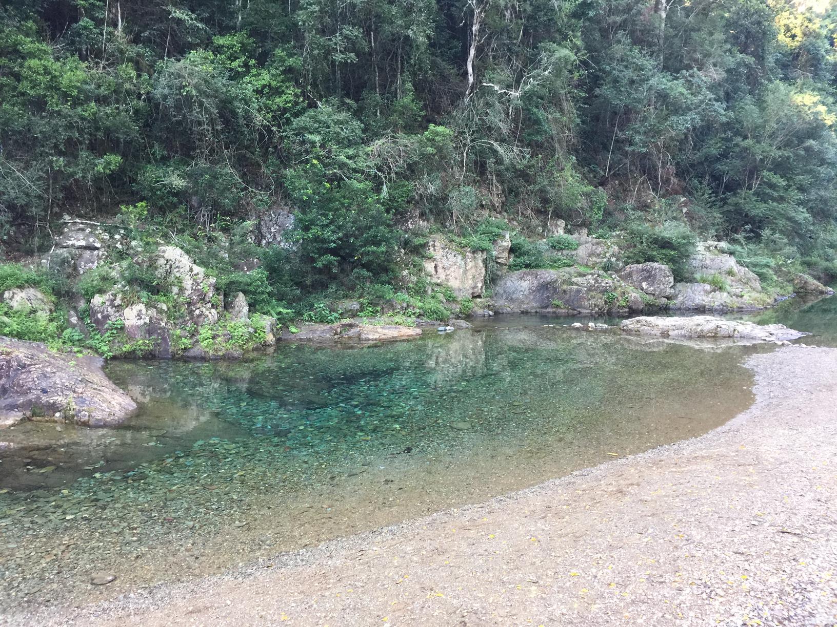
Walk to the beautiful clear Booloumba Falls, one of the highlights of the Conondale Range Great Walk.

SUITABILITY
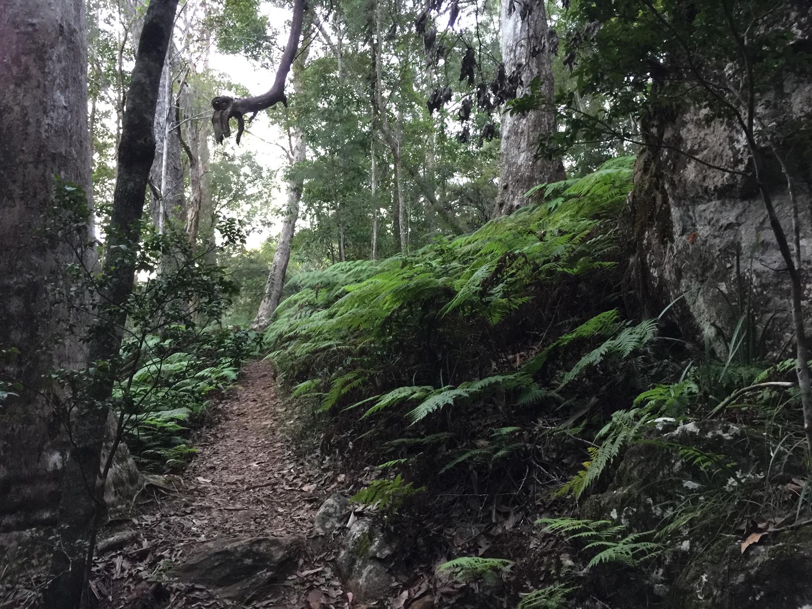
Suitable for walkers with some experience.

HIGHLIGHTS
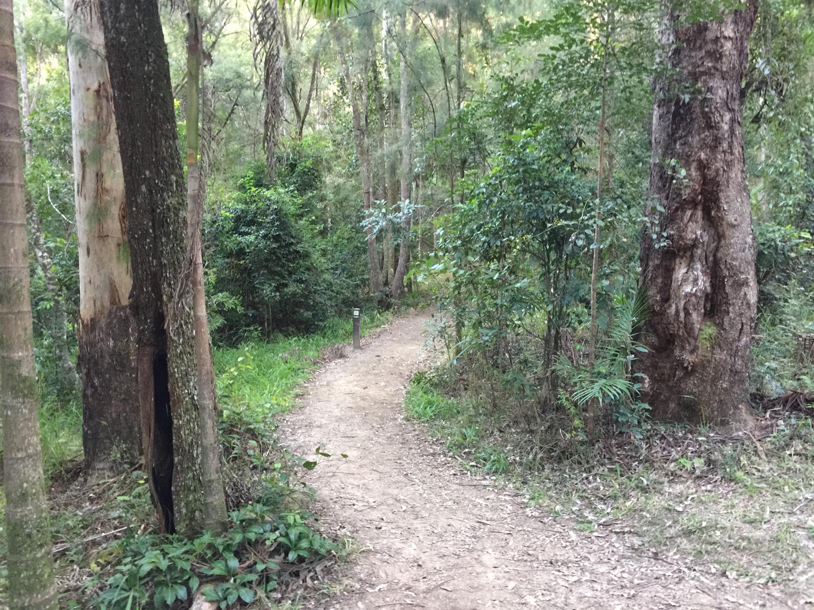
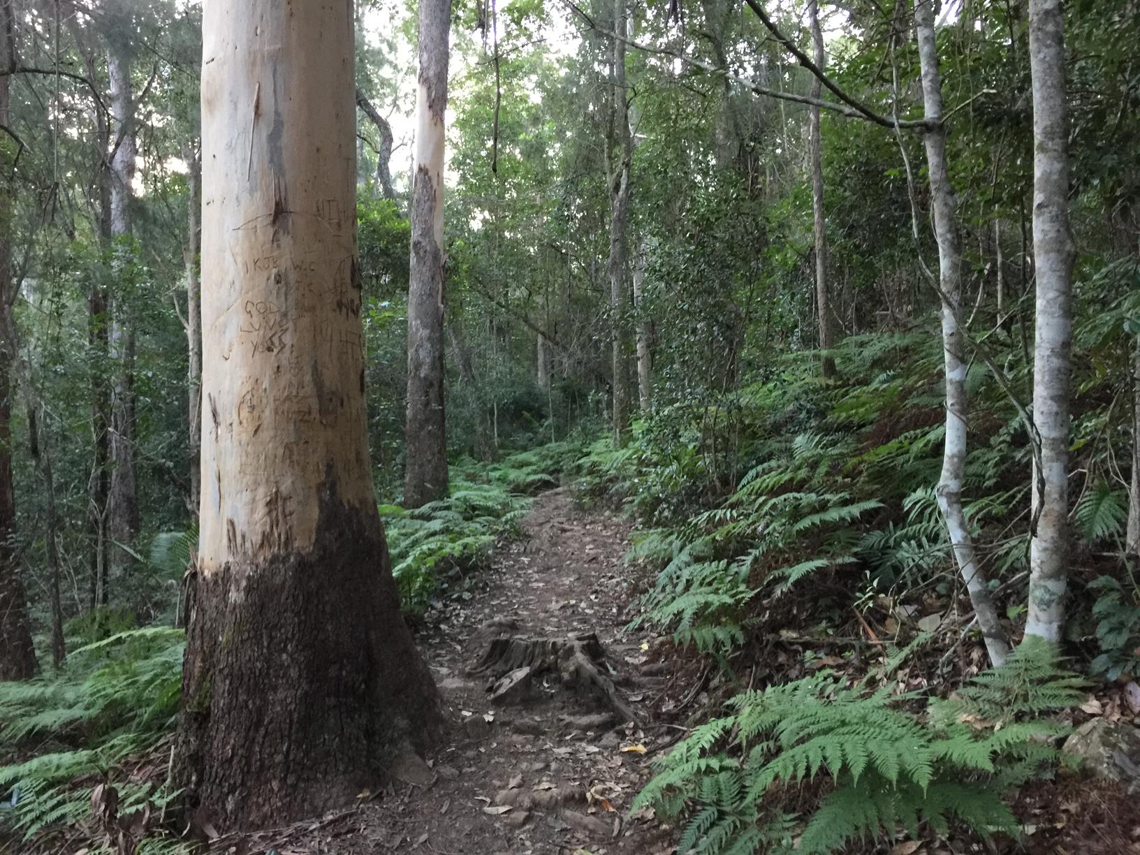
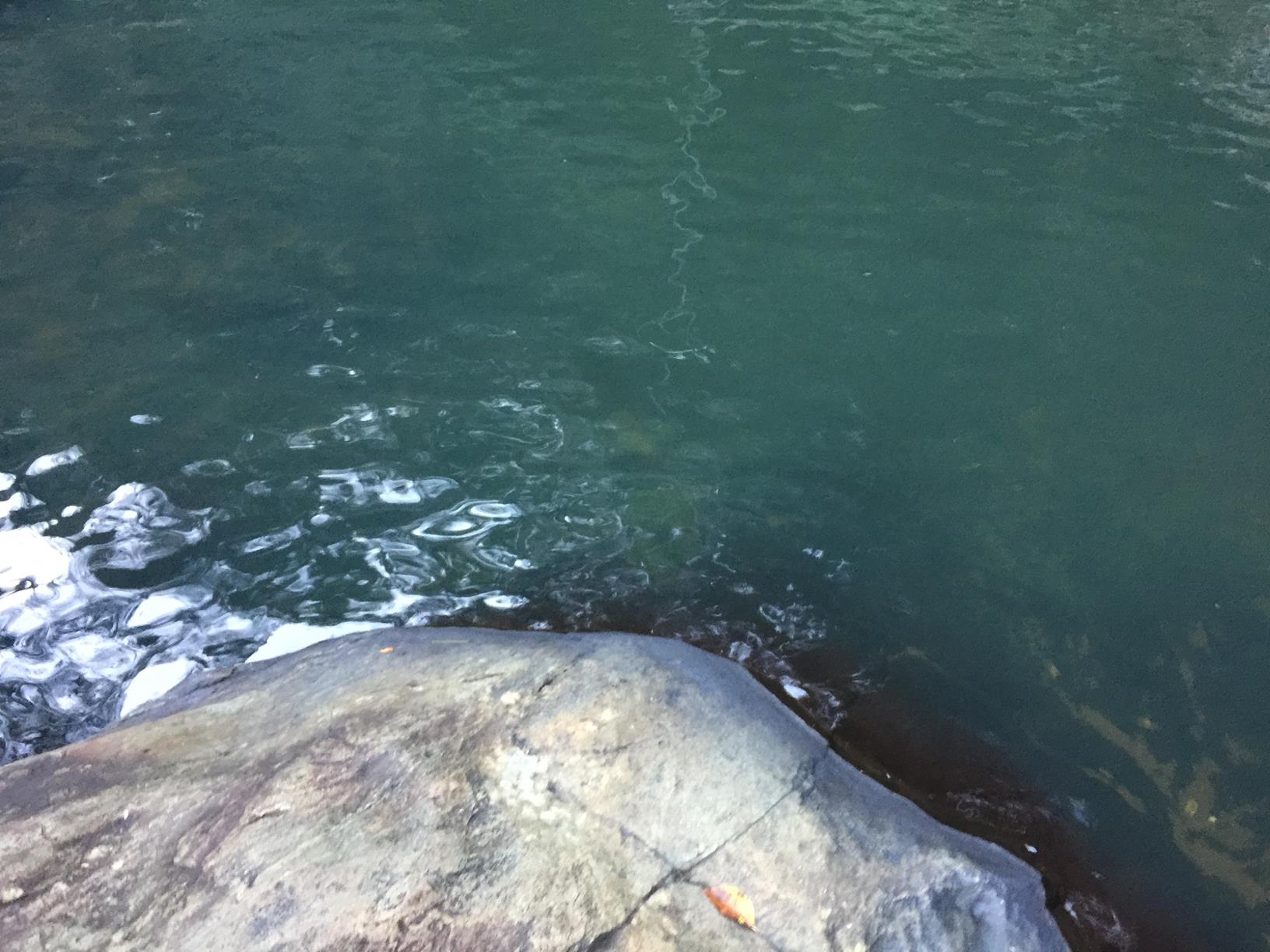
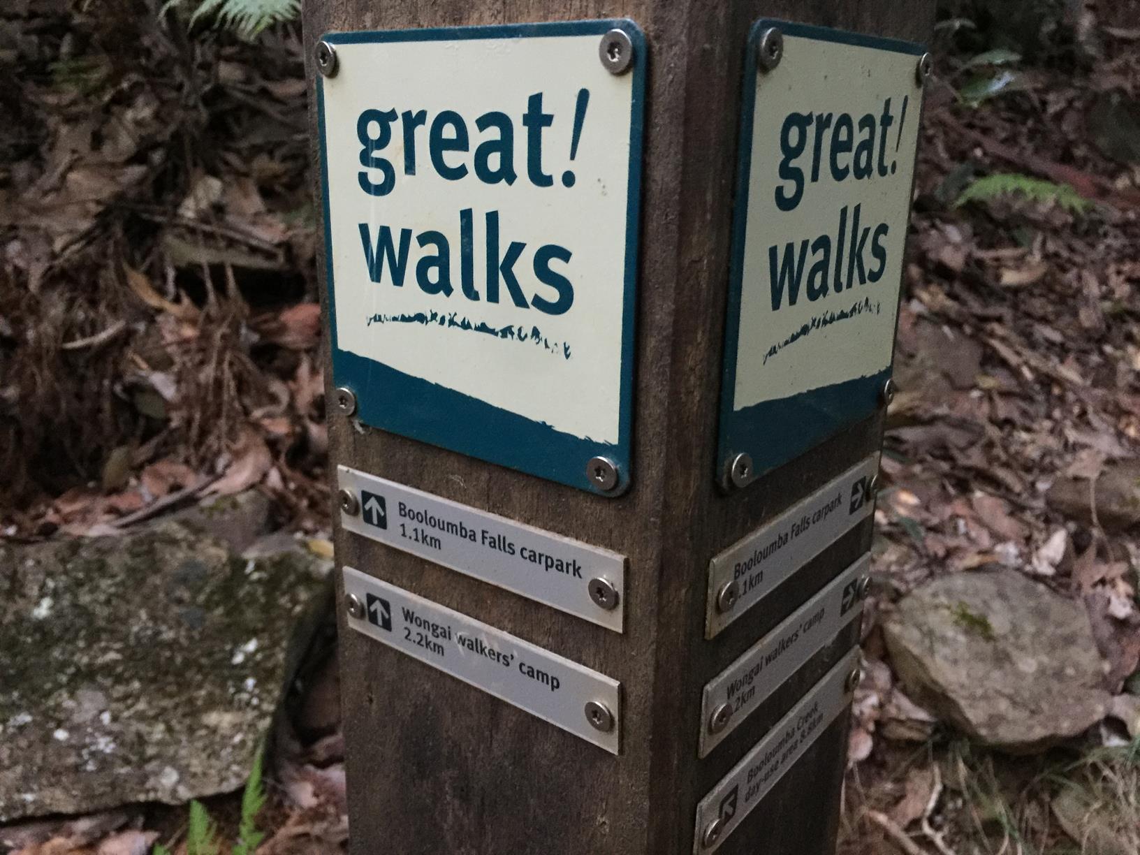
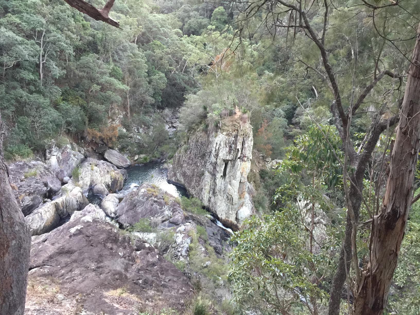
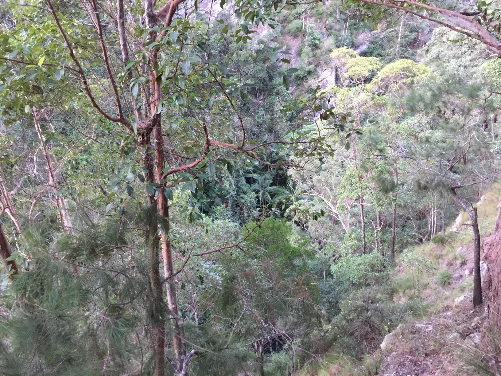
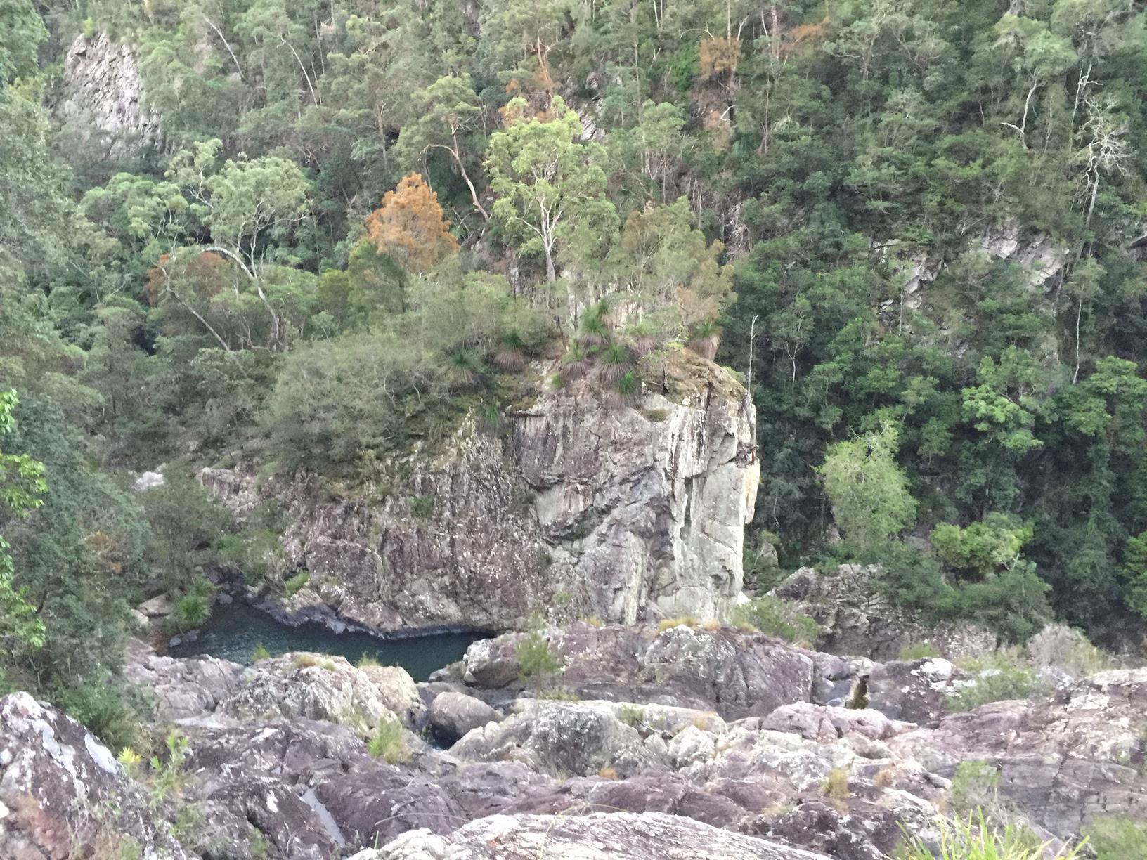
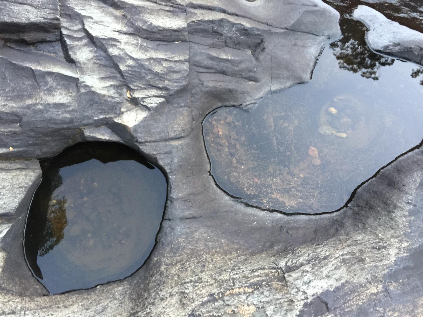
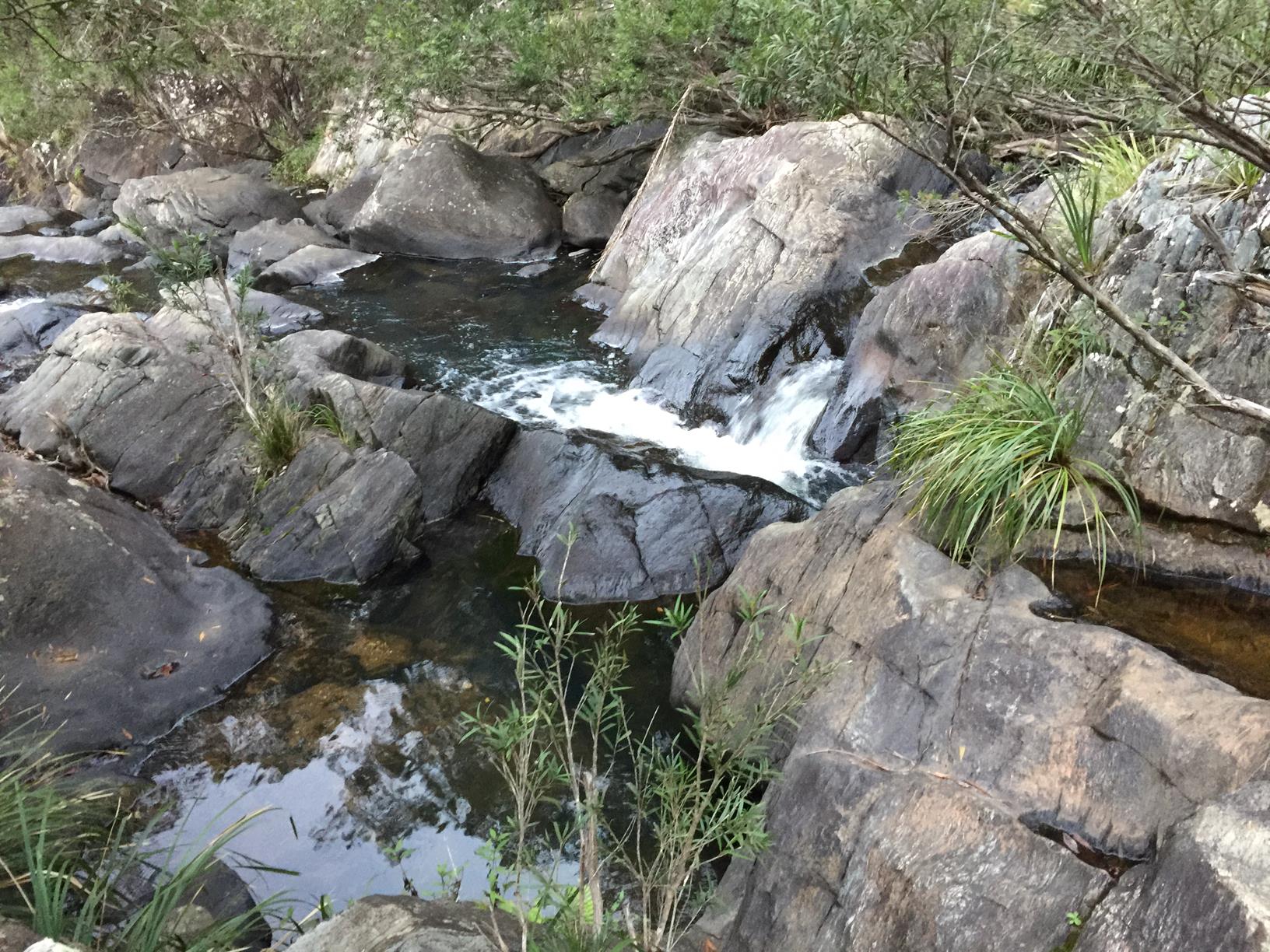
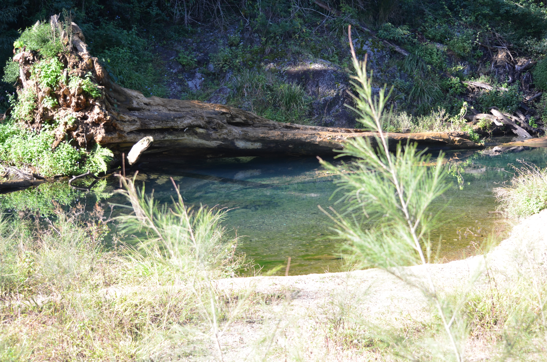
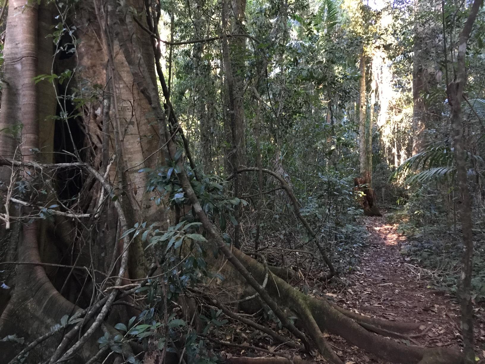
By the time you reach the Booloumba Falls carpark (via 4WD or foot) you’re at 500m above sea level. Take a short but very beautiful Downhill walk to the falls, cascading past a rock pinnacle nicknamed the breadknife for its serrated razor formation. It’s probably the most impressive part of the Conondale Range Great Walk complete with a great lookout, bubbling brook and sublime swimming holes along the way.

And yes, you can walk there and back in one day too from the Booloumba Creek camping and day use area. It would be about 17 km for the round trip.

AFTERWARDS
There are numerous walks to be done in this area including the Strangler Cairn, Mount Allan Summit and the full 56 km Conondale Range Great Walk.

After your walk you can head to Mapleton township or Kenilworth, or even further afield to Imbil, Kandanga or Amamoor. In the latter there is a great place for Devonshire teas on the week-end – check out the blue and white teapot!

HOW TO GET THERE
To the starting point: Follow the M1 / Bruce Highway north, and take the Kenilworth exit. Follow the signs for Kenilworth, travelling along the Eumundi-Kenilworth Road for about 28km. Go through Kenilworth and continue toward Maleny. The turn-off to Booloumba Creek day-use and camping areas is on your right about 7.5 km, just after Little Yabba Creek Park. Follow this road for another 7 km and you will get to the Booloumba Creek Day area.

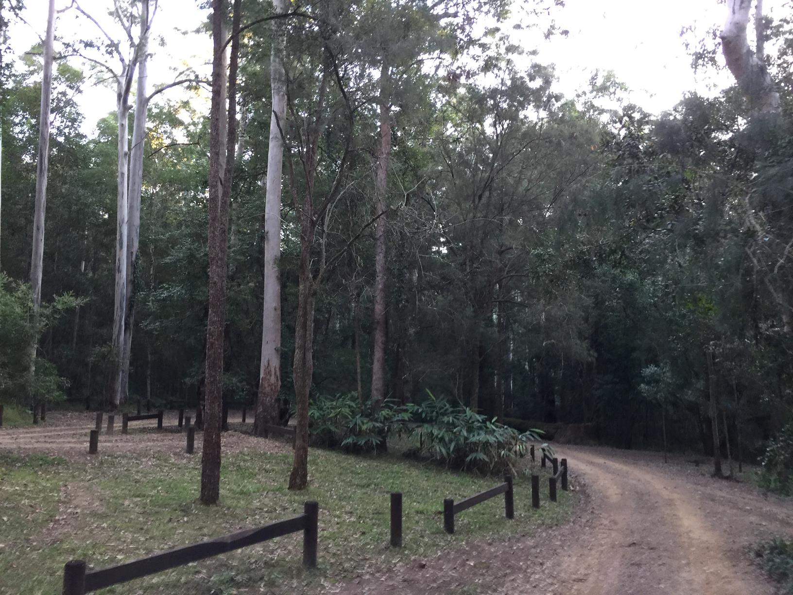
If you have a tough 4WD, it’s possible to drive right up to the Booloumba Falls carpark. The walk on the map starts from here, otherwise start from the Day Use Area.

NOTE: Queensland Parks advises: All park roads are gravel and at present suitable for high clearance four-wheel-drive vehicles ONLY. Booloumba Creek Road includes three creek crossings. Many keen walkers park their cars on the side of the road before the first creek crossing and walk in.

To the end point: The end point is the same as the starting point.

glossary button
Glossary
  • Icon showing this activity is suitable for wheelchairsSuitable for wheelchairs
  • Icon showing this activity is suitable for walkingSuitable for walking
  • Icon showing this activity is suitable for recreational cyclingSuitable for recreational cycling
  • Icon showing this activity is suitable for mountain bikingSuitable for mountain biking
  • Icon showing this activity is suitable for horse ridingSuitable for horse riding
  • Icon showing this activity is suitable for kayakingSuitable for kayaking
  • Icon showing this activity has drinking water availableDrinking water available
  • Icon showing this activity does not have drinking water availableNo drinking water available
  • Icon showing this activity has a barbeque on siteBarbeque on site
  • Icon showing this activity has a picnic table on sitePicnic table on site
  • Icon showing this activity has toilets on siteToilets on site
  • Icon showing fires are permitted at this activityFires permitted
  • Icon showing fires are prohibited at this activityFires prohibited
  • Icon showing camping is permitted at this activityCamping permitted
  • Icon showing camping is prohibited at this activityCamping prohibited
  • Suitable for walking Suitable for walking black lines Suitable for walking
  • No drinking water available No drinking water available No drinking water available
  • Fires prohibited Fires prohibited Fires prohibited
  • Camping prohibited Camping prohibited Camping prohibited
Write a review

Review Date: 28/11/2018

This is a wonderful walk for summer with a great swimming hole. The only downfall of this is the walk back to the car park is an incline and you're hot and sweaty by the time you get back to the car. Would definitely recommend though.

Reviewed By: Nicole

hazard icon

IN AN EMERGENCY DIAL '000'.

Always Adventure Safely!

  • Always follow any local signage, it contains key information and conditions can change at any time.
  • Use the trails with consideration for your abilities, be prepared for the adventure ahead:
    • Be aware of the weather conditions, found here: http://www.bom.gov.au/qld/.
    • Always wear appropriate clothing, focus on good footwear.
    • Always bring more water than you think you will need.
    • Be Sun Safe!
    • Always let someone know where you are going that isn’t going with you.
  • Just getting started try this site for good useful information: https://www.trailhiking.com.au/hike-safety/
  • Sunshine Coast Council does it’s best to maintain current information but things can change so always be aware that a trail may not be as listed in this guide, and report and issues via our feedback link.

Qld Parks and Wildlife Service

National Parks, Conservation Parks and some State Forests are managed by Queensland Parks and Wildlife Service. Contact details are: https://www.des.qld.gov.au/contactus/

For current information on trail conditions and alerts go to https://parks.des.qld.gov.au/park-alerts/#sunshinecoast

If you think something on this web site needs to change please let us know via: adventure@sunshinecoast.qld.gov.au

Nearby Trails

Trail Image for Conondale National Park: Conondale Range Great Walk – Full 56km Circuit
Difficult

Conondale National Park: Conondale Range Great Walk – Full 56km Circuit

Cambroon
walking icon
Trail type
difficulty icon
Skill Level

62.8km

Length
direction icon
Circuit
Trail Image for Conondale National Park: Booloumba Creek & Strangler Cairn
Intermediate

Conondale National Park: Booloumba Creek & Strangler Cairn

Kenilworth
walking icon
Trail type
difficulty icon
Skill Level

2.9km

Length
direction icon
One-way
Trail Image for Conondale National Park: Booloumba Gold Mine Walk
Intermediate

Conondale National Park: Booloumba Gold Mine Walk

Cambroon
walking icon
Trail type
difficulty icon
Skill Level

2.9km

Length
direction icon
One-way
Trail Image for Conondale National Park: Booloumba Creek to Mount Allan Walk
Difficult

Conondale National Park: Booloumba Creek to Mount Allan Walk

Kenilworth
walking icon
Trail type
difficulty icon
Skill Level

6.0km

Length
direction icon
One-way
Trail Image for Road Cycle Route: Hinterland Loop
Difficult

Road Cycle Route: Hinterland Loop

Balmoral Ridge
walking icon cycling icon
Trail type
difficulty icon
Skill Level

95.8km

Length
direction icon
Circuit

Share this trail

This action requires a login.
To continue, click on Login/Signup below.

Photo uploaded successfully, thank you.

Feedback / Suggest an Adventure

If you have any feedback on the site or any of the trails, please drop us a short email.

Have we missed something? Do you have an adventure to suggest? Fill in the suggestion form to let us know about it.