facebook
Image showing that the PDF download is in progress... PDF download in progress

Please wait...

Image showing a pink decorative paint splat
Image showing a green decorative paint splat
upload photo button

NOTE: This adventure is in Mapleton National Park for current Queensland Parks and Wildlife Service parks information, maps and essential park alerts click here

reviews buttonReviews view map buttonMap
view 3d map button3D Map
directions take me there buttonDirections
Save
PDF
Gpx File

Mapleton National Park: Linda Garrett Circuit

Mapleton National Park: Linda Garrett Circuit
Gheerulla
walking icon walking icon black
Trail type
difficulty icon
Skill Level
1.0km
Length
direction icon direction icon black
Circuit

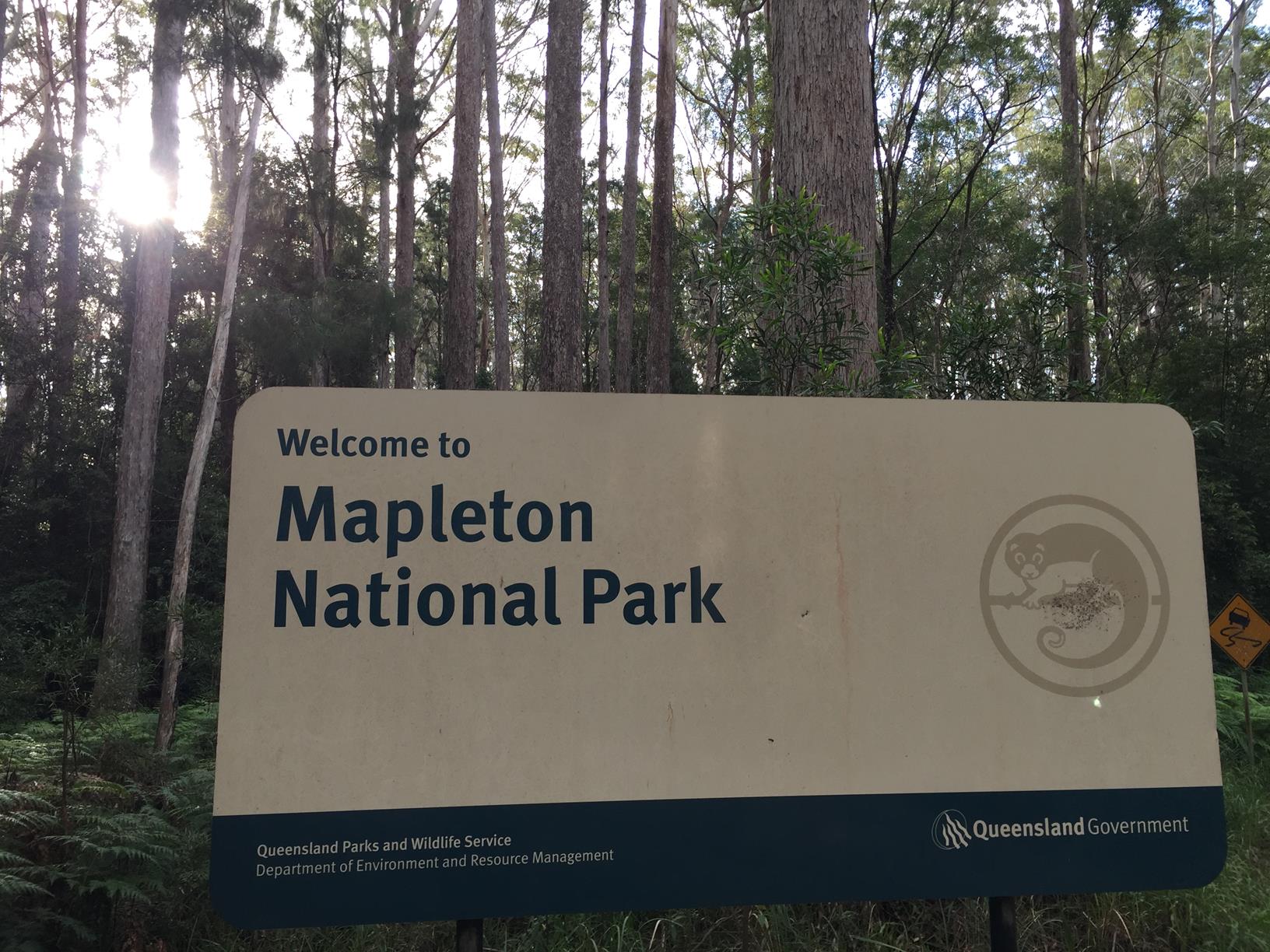
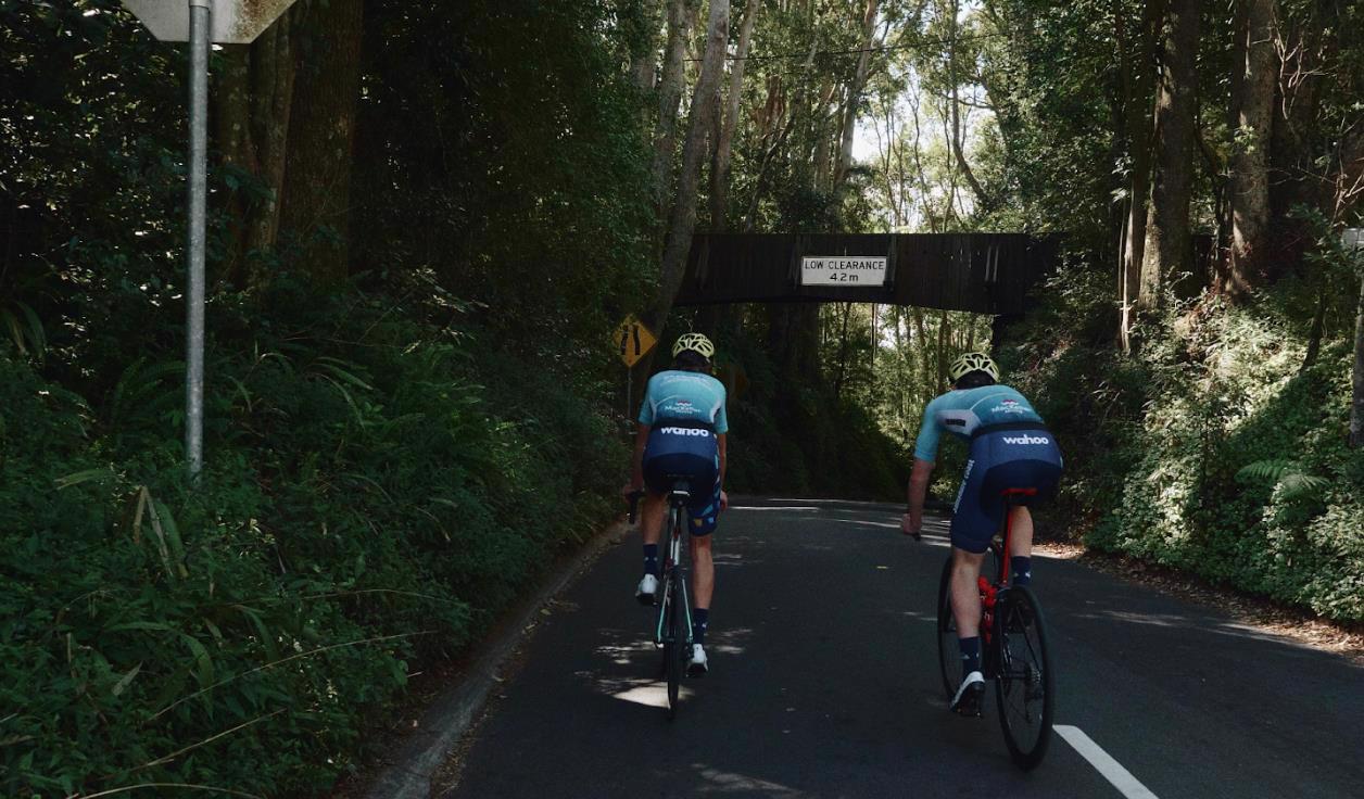
Enjoy a small section of Mapleton National Park

SUITABILITY
Suitable for walkers of all ages as it’s a short, pleasant, easy walk.

HIGHLIGHTS
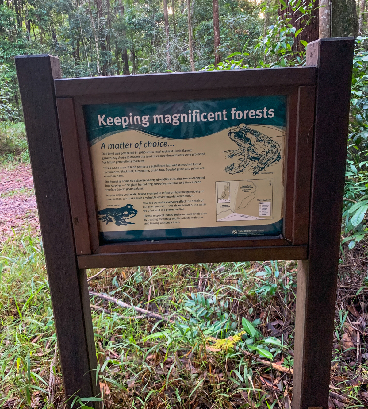
This section of Mapleton Park is named after its benefactor Linda Garrett, who donated the $500,000 parcel of land for conservation.
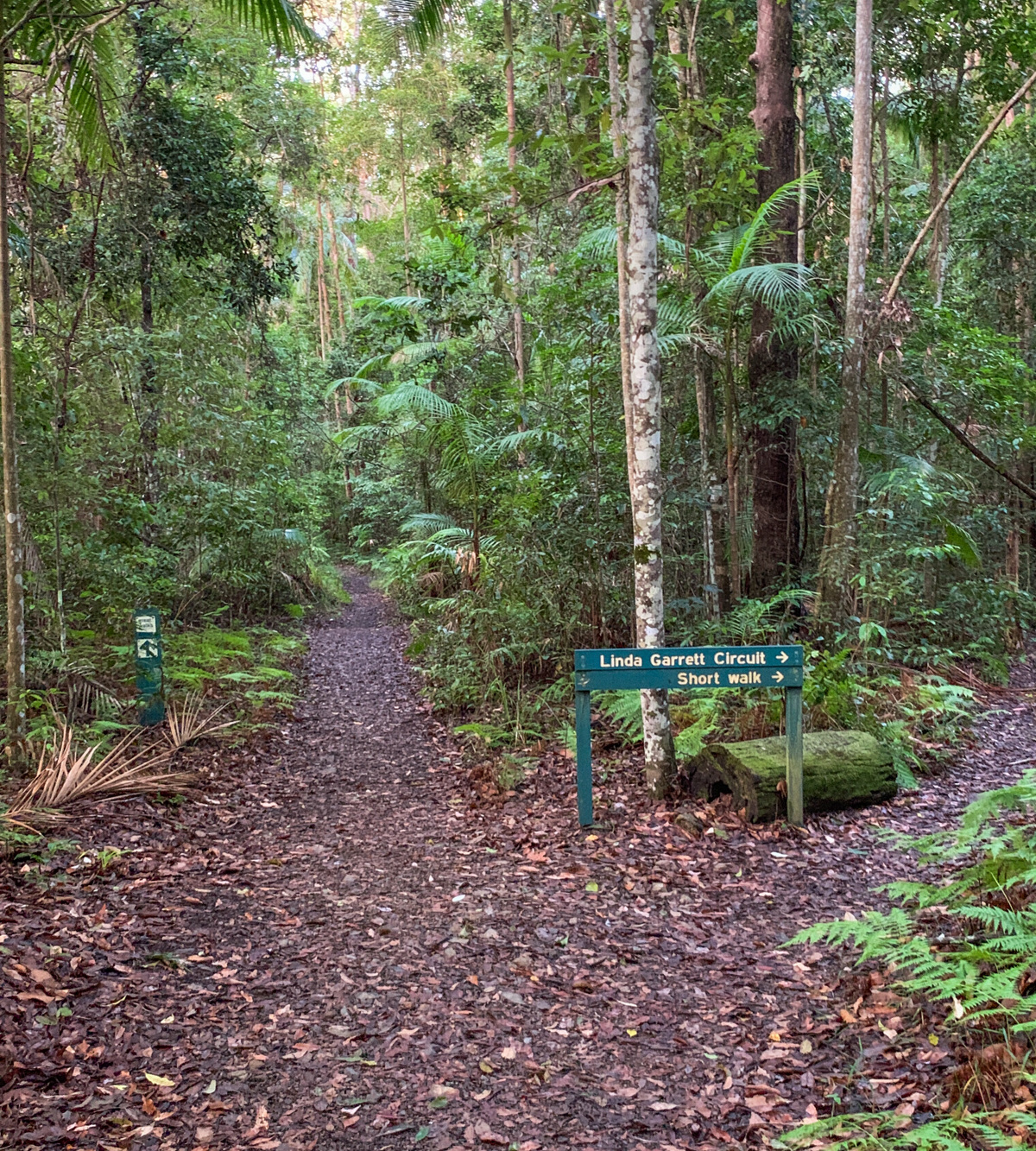
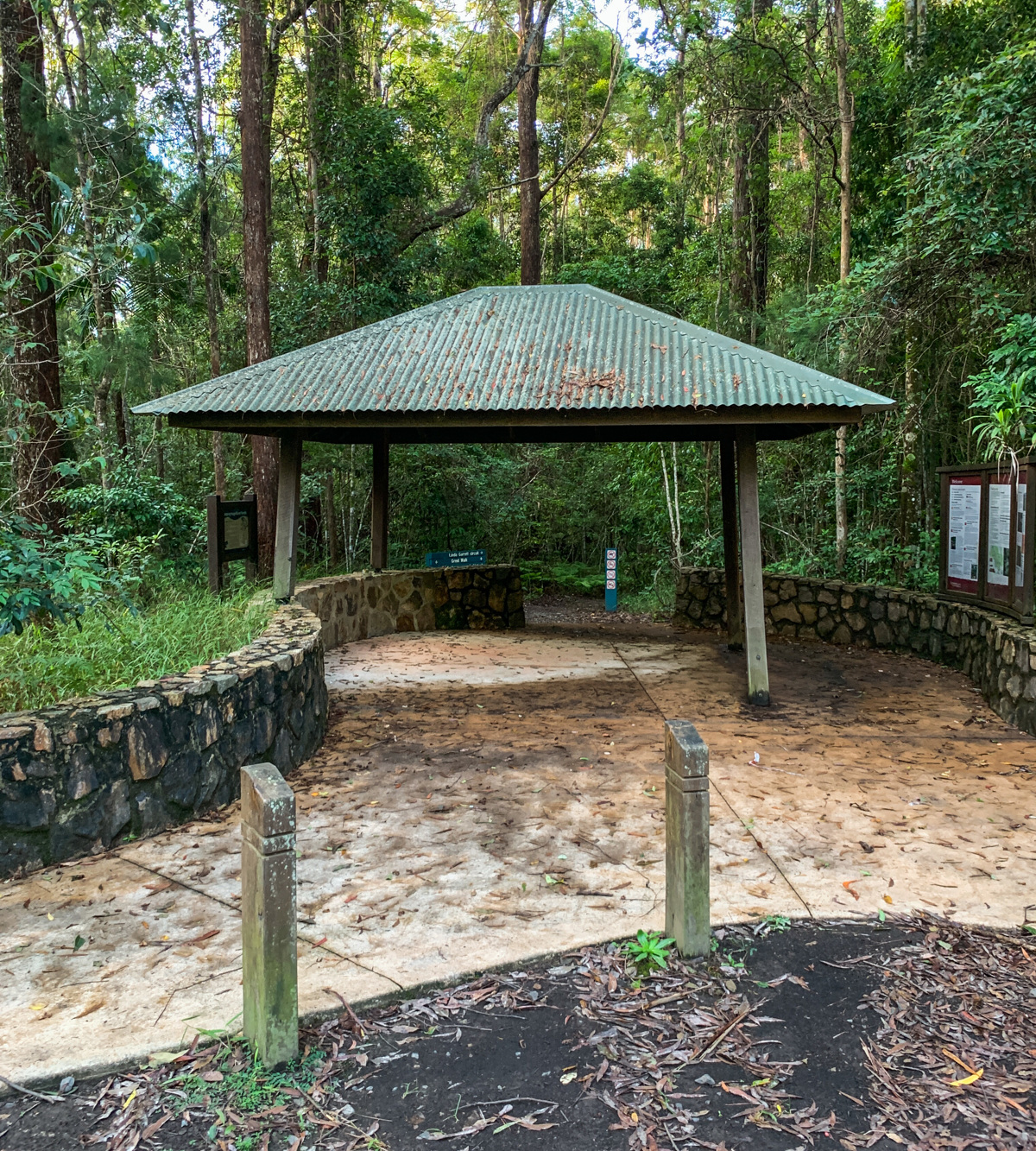
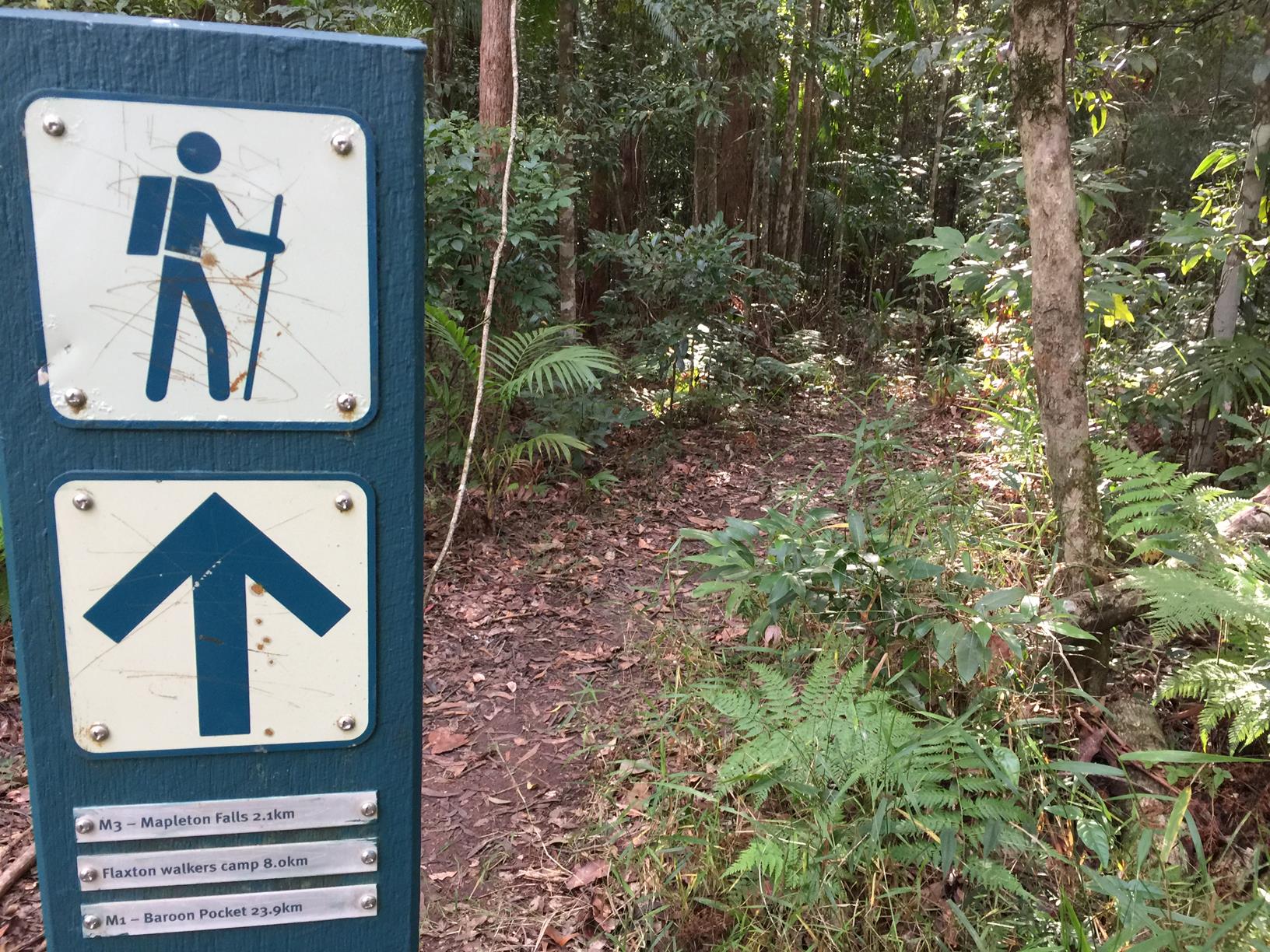
At the start of the walk is a large information board and shelter marking the starting point of many walks, including a section of the Sunshine Coast Hinterland Great Walk.
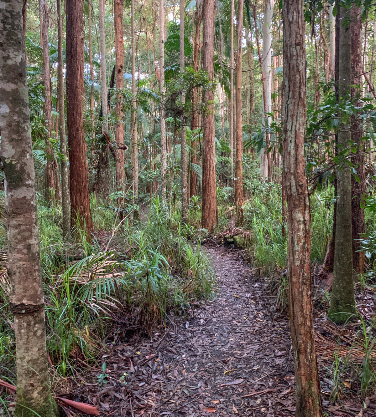
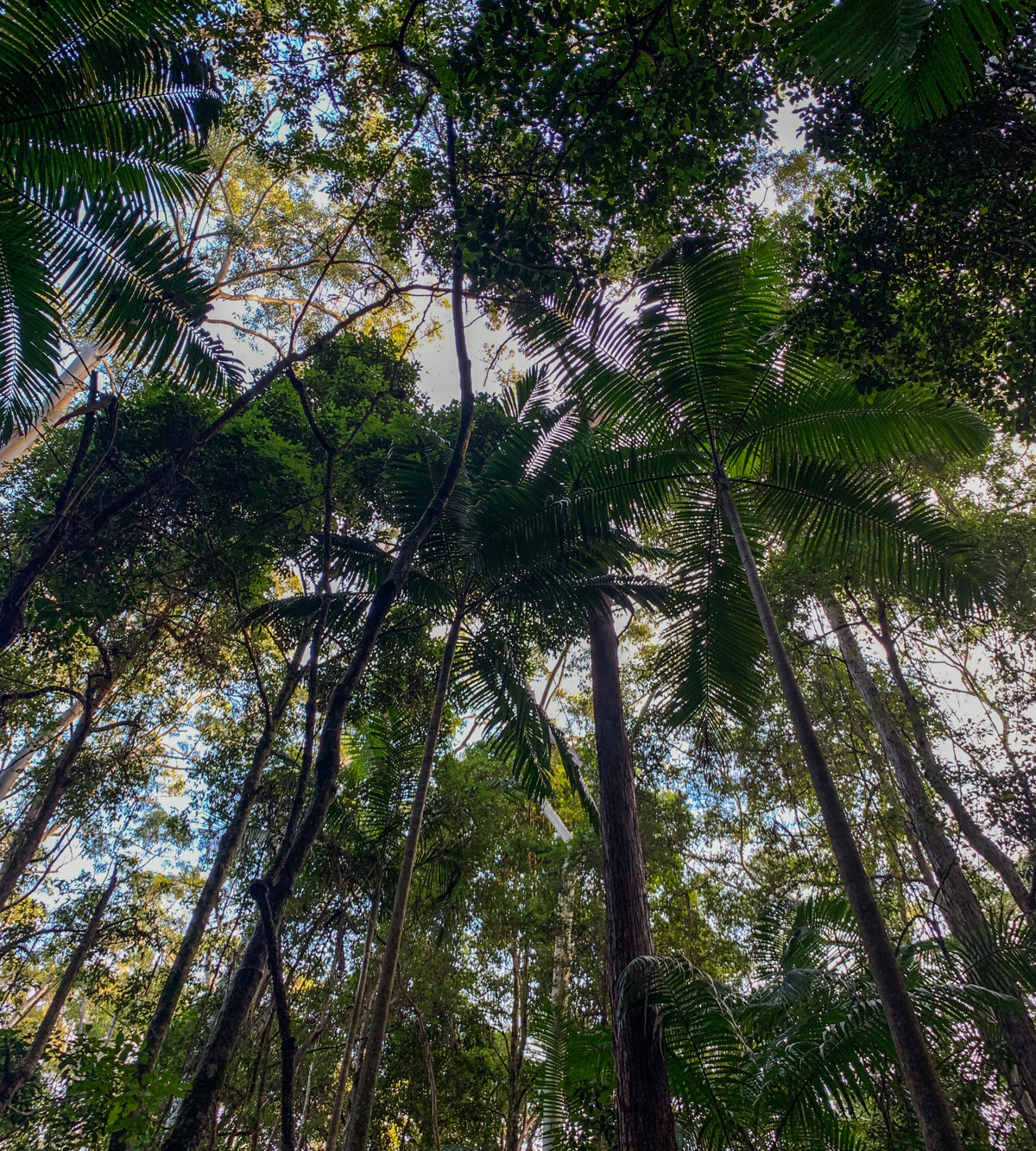
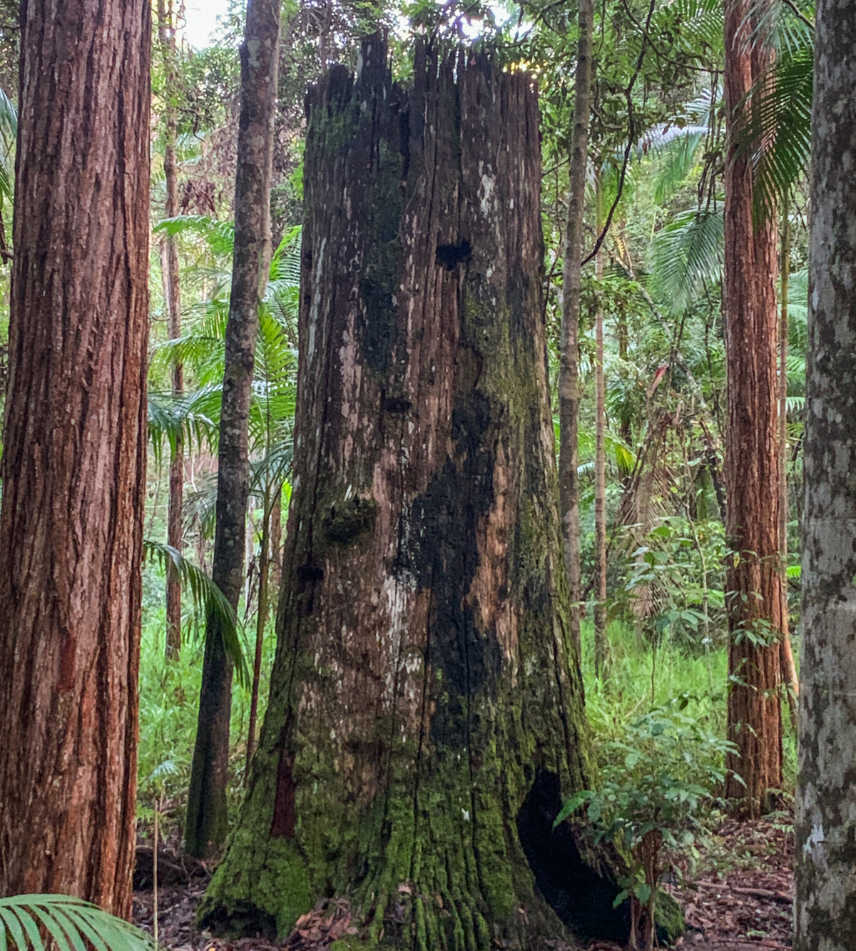
This short circuit leads through rainforest, a Piccabeen Palm grove, and a tall wet Eucalypt forest featuring blackbutt, brushbox, turpentine and flooded gum. There is a seat overlooking Gheerrulla Creek close to the halfway point with a pleasant outlook.
This small world heritage park protects a rainforest remnant on the Blackall Range and is home to the Great Barred Frog. On this walk you may also hear and see the Bell Birds!
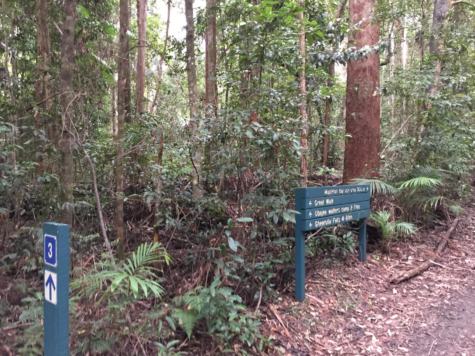
If you want to make your walk longer by following the Great Walk signage for some distance, or simply return to the starting point.

AFTERWARDS
There are several other walks to enjoy nearby at the Mapleton Day Use Area including Piccabeen Circuit (6.7km) and the Kureelpa Falls Circuit (8.5km).
Otherwise, head back into Mapleton and support one of the local establishments. Why not grab a coffee and take a walkaround the beautiful lily ponds? The lily ponds are surrounded by serene parkland, in the centre of the village.
HOW TO GET THERE
To the starting point: Head to Mapleton and take the Obi Obi Road out of town and take the first right onto Delicia Road. After about 2kms you will come to the Mapleton National Park on your right. The walk’s entrance is on the right, just after the Mapleton Recycle centre.
To the end point: The end point is the same as the starting point as it’s a small circular route.

glossary button
Glossary
  • Icon showing this activity is suitable for wheelchairsSuitable for wheelchairs
  • Icon showing this activity is suitable for walkingSuitable for walking
  • Icon showing this activity is suitable for recreational cyclingSuitable for recreational cycling
  • Icon showing this activity is suitable for mountain bikingSuitable for mountain biking
  • Icon showing this activity is suitable for horse ridingSuitable for horse riding
  • Icon showing this activity is suitable for kayakingSuitable for kayaking
  • Icon showing this activity has drinking water availableDrinking water available
  • Icon showing this activity does not have drinking water availableNo drinking water available
  • Icon showing this activity has a barbeque on siteBarbeque on site
  • Icon showing this activity has a picnic table on sitePicnic table on site
  • Icon showing this activity has toilets on siteToilets on site
  • Icon showing fires are permitted at this activityFires permitted
  • Icon showing fires are prohibited at this activityFires prohibited
  • Icon showing camping is permitted at this activityCamping permitted
  • Icon showing camping is prohibited at this activityCamping prohibited
  • Suitable for walking Suitable for walking black lines Suitable for walking
  • No drinking water available No drinking water available No drinking water available
  • Picnic table on site Picnic table on site Picnic table on site
  • Fires prohibited Fires prohibited Fires prohibited
  • Camping prohibited Camping prohibited Camping prohibited
Write a review

Be the first to review this trail.

hazard icon

IN AN EMERGENCY DIAL '000'.

Always Adventure Safely!

  • Always follow any local signage, it contains key information and conditions can change at any time.
  • Use the trails with consideration for your abilities, be prepared for the adventure ahead:
    • Be aware of the weather conditions, found here: http://www.bom.gov.au/qld/.
    • Always wear appropriate clothing, focus on good footwear.
    • Always bring more water than you think you will need.
    • Be Sun Safe!
    • Always let someone know where you are going that isn’t going with you.
  • Just getting started try this site for good useful information: https://www.trailhiking.com.au/hike-safety/
  • Sunshine Coast Council does it’s best to maintain current information but things can change so always be aware that a trail may not be as listed in this guide, and report and issues via our feedback link.

Qld Parks and Wildlife Service

National Parks, Conservation Parks and some State Forests are managed by Queensland Parks and Wildlife Service. Contact details are: https://www.des.qld.gov.au/contactus/

For current information on trail conditions and alerts go to https://parks.des.qld.gov.au/park-alerts/#sunshinecoast

If you think something on this web site needs to change please let us know via: adventure@sunshinecoast.qld.gov.au

Nearby Trails

Trail Image for Mapleton National Park: Piccabeen Circuit
Difficult

Mapleton National Park: Piccabeen Circuit

Gheerulla
walking icon mountain biking icon horse riding icon
Trail type
difficulty icon
Skill Level

7.6km

Length
direction icon
Circuit
Trail Image for Mapleton National Park: Pilularis Forest Walk
Intermediate

Mapleton National Park: Pilularis Forest Walk

Mapelton
walking icon
Trail type
difficulty icon
Skill Level

0.5km

Length
direction icon
Circuit
Trail Image for Road Cycle Route: Hinterland Loop
Difficult

Road Cycle Route: Hinterland Loop

Balmoral Ridge
walking icon cycling icon
Trail type
difficulty icon
Skill Level

95.8km

Length
direction icon
Circuit
Trail Image for Road Cycle Route: SCC Big Loop
Difficult

Road Cycle Route: SCC Big Loop

Alexandra Headland
walking icon cycling icon
Trail type
difficulty icon
Skill Level

180.6km

Length
direction icon
Circuit
Trail Image for Mapleton Lilly Ponds and National Park Forest Loop
Intermediate

Mapleton Lilly Ponds and National Park Forest Loop

Gheerulla
walking icon mountain biking icon
Trail type
difficulty icon
Skill Level

0.5km

Length
direction icon
Circuit

Share this trail

This action requires a login.
To continue, click on Login/Signup below.

Photo uploaded successfully, thank you.

Feedback / Suggest an Adventure

If you have any feedback on the site or any of the trails, please drop us a short email.

Have we missed something? Do you have an adventure to suggest? Fill in the suggestion form to let us know about it.