facebook
Image showing that the PDF download is in progress... PDF download in progress

Please wait...

Image showing a pink decorative paint splat
Image showing a green decorative paint splat
Trail Image upload photo button
reviews buttonReviews view map buttonMap
view 3d map button3D Map
directions take me there buttonDirections
Save
PDF
Gpx File

Buderim Walks: Serenity Falls Walk

Buderim Walks: Serenity Falls Walk
Buderim
walking icon walking icon black
Trail type
difficulty icon
Skill Level
2.0km
One-way Length
direction icon direction icon black
One-way

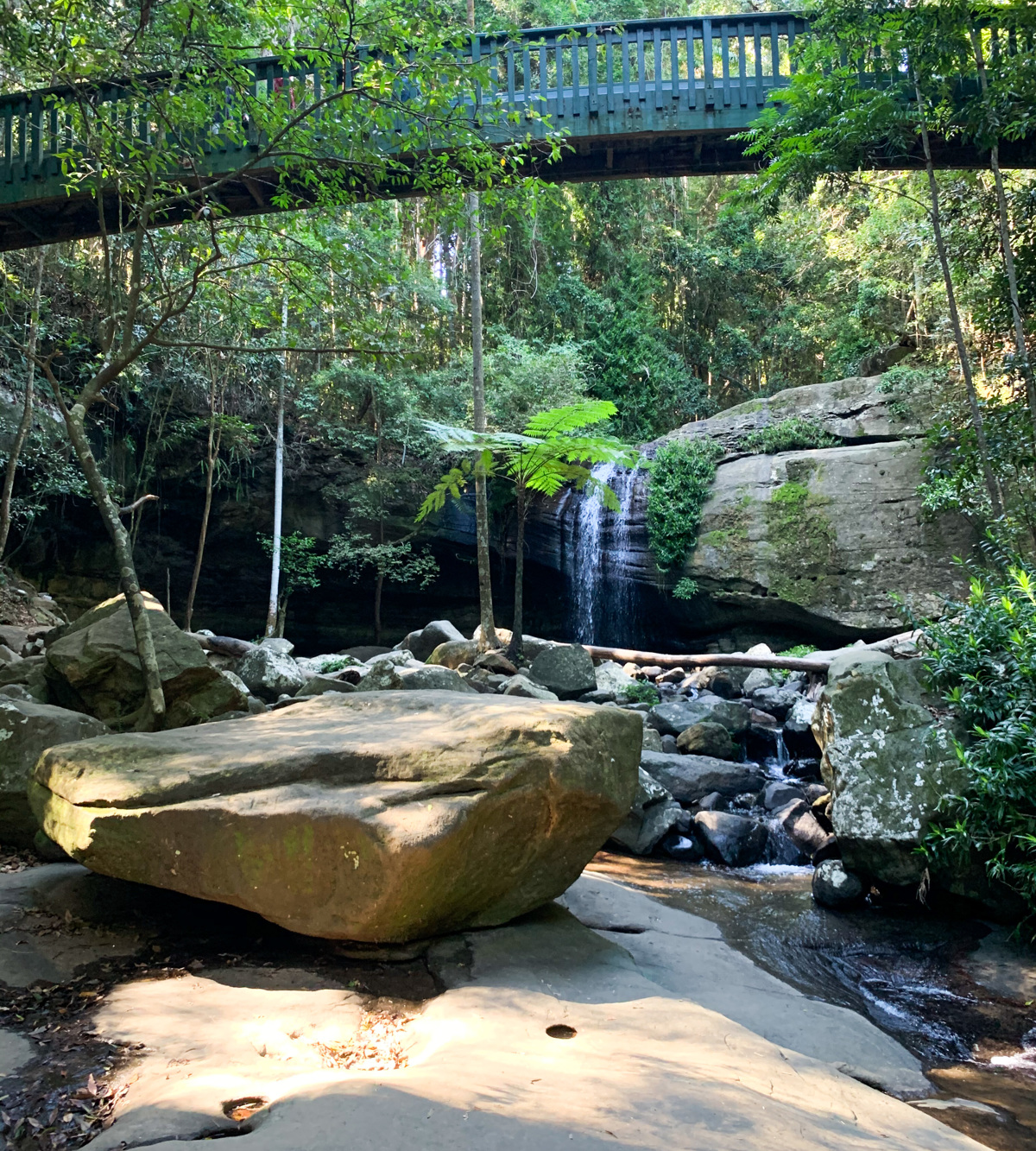
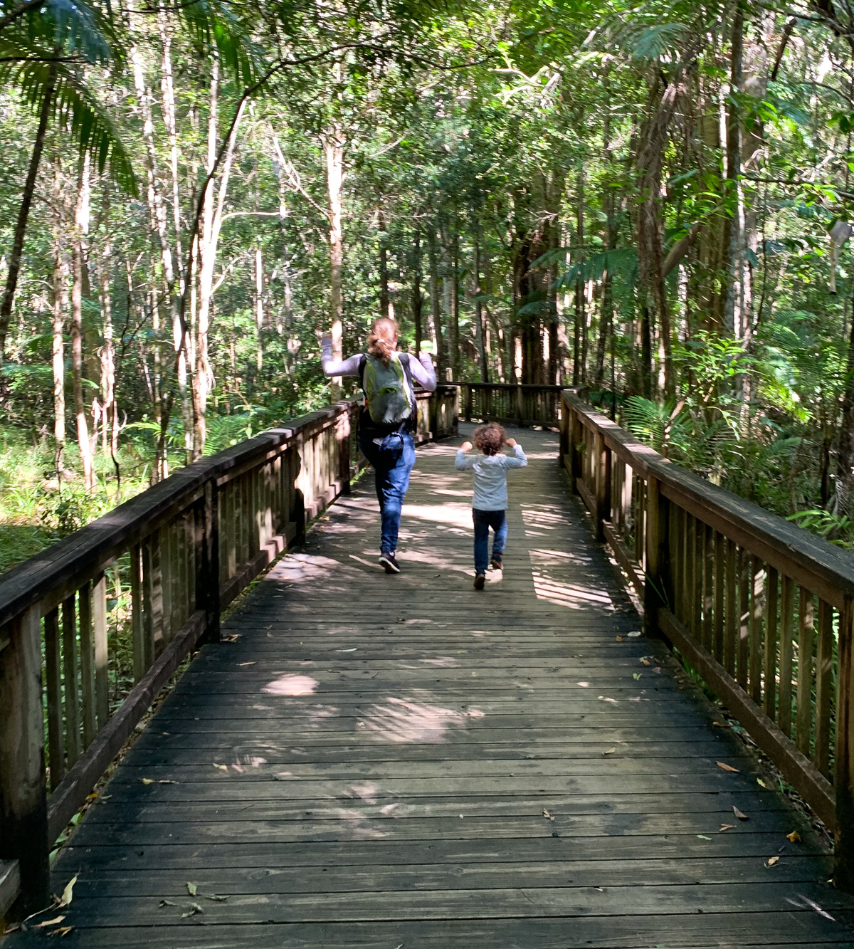
And extended walk from Buderim town center to Buderim(Serenity) Falls and back.

SUITABILITY
Suitable for walkers, and walking groups looking for a well maintained walk with the option to catch-up over coffee after the walk.

HIGHLIGHTS
This walk is a great way to extend your walk time and allow you to grab lunch or coffee on your return from the walk by starting in town. Surprisingly the walk is quite enjoyable as the residential streets all have pathways and it just an enjoyable neighborhood walk with the falls as a great destination point. Keep your eyes out for one of the most interesting homes out there sitting across a local creek!

AFTERWARDS
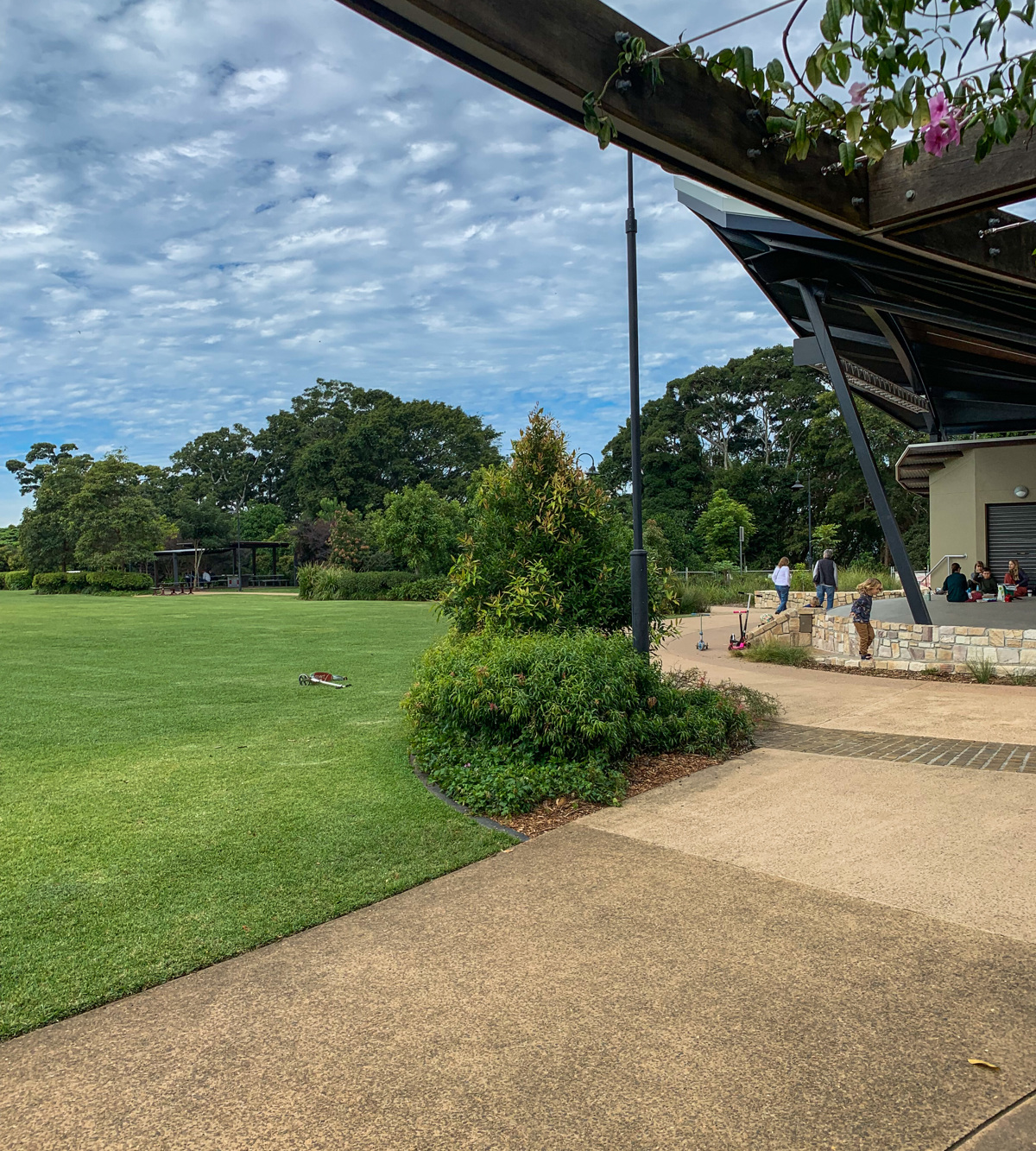
Pop into Buderim and enjoy one of the many cafes and dining establishments in the area. Alternatively try one of the other Buderim area walks listed on this site.

HOW TO GET THERE
To the starting point: This walk starts from the old post office which is now an information center and part of the War Memorial Community Association. Parking can be found across the town but be aware of time and parking restrictions at some locations.

To the end point: The end point is the same as your starting point.

glossary button
Glossary
  • Icon showing this activity is suitable for wheelchairsSuitable for wheelchairs
  • Icon showing this activity is suitable for walkingSuitable for walking
  • Icon showing this activity is suitable for recreational cyclingSuitable for recreational cycling
  • Icon showing this activity is suitable for mountain bikingSuitable for mountain biking
  • Icon showing this activity is suitable for horse ridingSuitable for horse riding
  • Icon showing this activity is suitable for kayakingSuitable for kayaking
  • Icon showing this activity has drinking water availableDrinking water available
  • Icon showing this activity does not have drinking water availableNo drinking water available
  • Icon showing this activity has a barbeque on siteBarbeque on site
  • Icon showing this activity has a picnic table on sitePicnic table on site
  • Icon showing this activity has toilets on siteToilets on site
  • Icon showing fires are permitted at this activityFires permitted
  • Icon showing fires are prohibited at this activityFires prohibited
  • Icon showing camping is permitted at this activityCamping permitted
  • Icon showing camping is prohibited at this activityCamping prohibited
  • Suitable for walking Suitable for walking black lines Suitable for walking
  • No drinking water available No drinking water available No drinking water available
  • Fires prohibited Fires prohibited Fires prohibited
  • Camping prohibited Camping prohibited Camping prohibited
Write a review

Be the first to review this trail.

hazard icon

IN AN EMERGENCY DIAL '000'.

Always Adventure Safely!

  • Always follow any local signage, it contains key information and conditions can change at any time.
  • Use the trails with consideration for your abilities, be prepared for the adventure ahead:
    • Be aware of the weather conditions, found here: http://www.bom.gov.au/qld/.
    • Always wear appropriate clothing, focus on good footwear.
    • Always bring more water than you think you will need.
    • Be Sun Safe!
    • Always let someone know where you are going that isn’t going with you.
  • Just getting started try this site for good useful information: https://www.trailhiking.com.au/hike-safety/
  • Sunshine Coast Council does it’s best to maintain current information but things can change so always be aware that a trail may not be as listed in this guide, and report and issues via our feedback link.

Sunshine Coast Council

For any issues with this experience please contact:

Sunshine Coast Council via 07 5475 7272 or via e-mail: adventure@sunshinecoast.qld.gov.au

Nearby Trails

Trail Image for Buderim Forest Park: Falls Loop
Easy

Buderim Forest Park: Falls Loop

Buderim
walking icon
Trail type
difficulty icon
Skill Level

0.8km

Length
direction icon
Circuit
Trail Image for Buderim Walks: Town Loop
Easy

Buderim Walks: Town Loop

Buderim
walking icon
Trail type
difficulty icon
Skill Level

3.7km

Length
direction icon
Circuit
Trail Image for Buderim Forest Park: River Walk
Easy

Buderim Forest Park: River Walk

Buderim
walking icon
Trail type
difficulty icon
Skill Level

0.8km

Length
direction icon
One-way
Trail Image for Buderim Village Park
Easy

Buderim Village Park

Buderim
walking icon
Trail type
difficulty icon
Skill Level

0.4km

Length
direction icon
Circuit
Trail Image for Road Cycle Route: SCC Big Loop
Difficult

Road Cycle Route: SCC Big Loop

Alexandra Headland
walking icon cycling icon
Trail type
difficulty icon
Skill Level

180.6km

Length
direction icon
Circuit

Share this trail

This action requires a login.
To continue, click on Login/Signup below.

Photo uploaded successfully, thank you.

Feedback / Suggest an Adventure

If you have any feedback on the site or any of the trails, please drop us a short email.

Have we missed something? Do you have an adventure to suggest? Fill in the suggestion form to let us know about it.