facebook
Image showing that the PDF download is in progress... PDF download in progress

Please wait...

Image showing a pink decorative paint splat
Image showing a green decorative paint splat
Trail Image upload photo button
reviews buttonReviews view map buttonMap
view 3d map button3D Map
directions take me there buttonDirections
Save
PDF
Gpx File

Coochin Creek: Campground to Boat Ramp Paddle

Coochin Creek: Campground to Boat Ramp Paddle
Coochin Creek
canoe icon canoe icon black
Trail type
difficulty icon
Skill Level
9.2km
One-way Length
direction icon direction icon black
One-way

A great quite paddle as the sand bars at the mouth of the creek tend to block most larger boats, great fishing abounds.

SUITABILITY
Paddlers with a bit of experience.

HIGHLIGHTS
This is a great paddle with low traffic and some interesting wildlife on all sides. Watch the tides when crossing the sand bars at the mouth of the creek or you can end up knee deep in mud pulling your boat if you get caught by low water. You can get the best of the paddle with a shorter distance by putting in at the campground and heading out for an hour or two. Keep your eyes peeled for the sea eagles that frequent this area.

AFTERWARDS
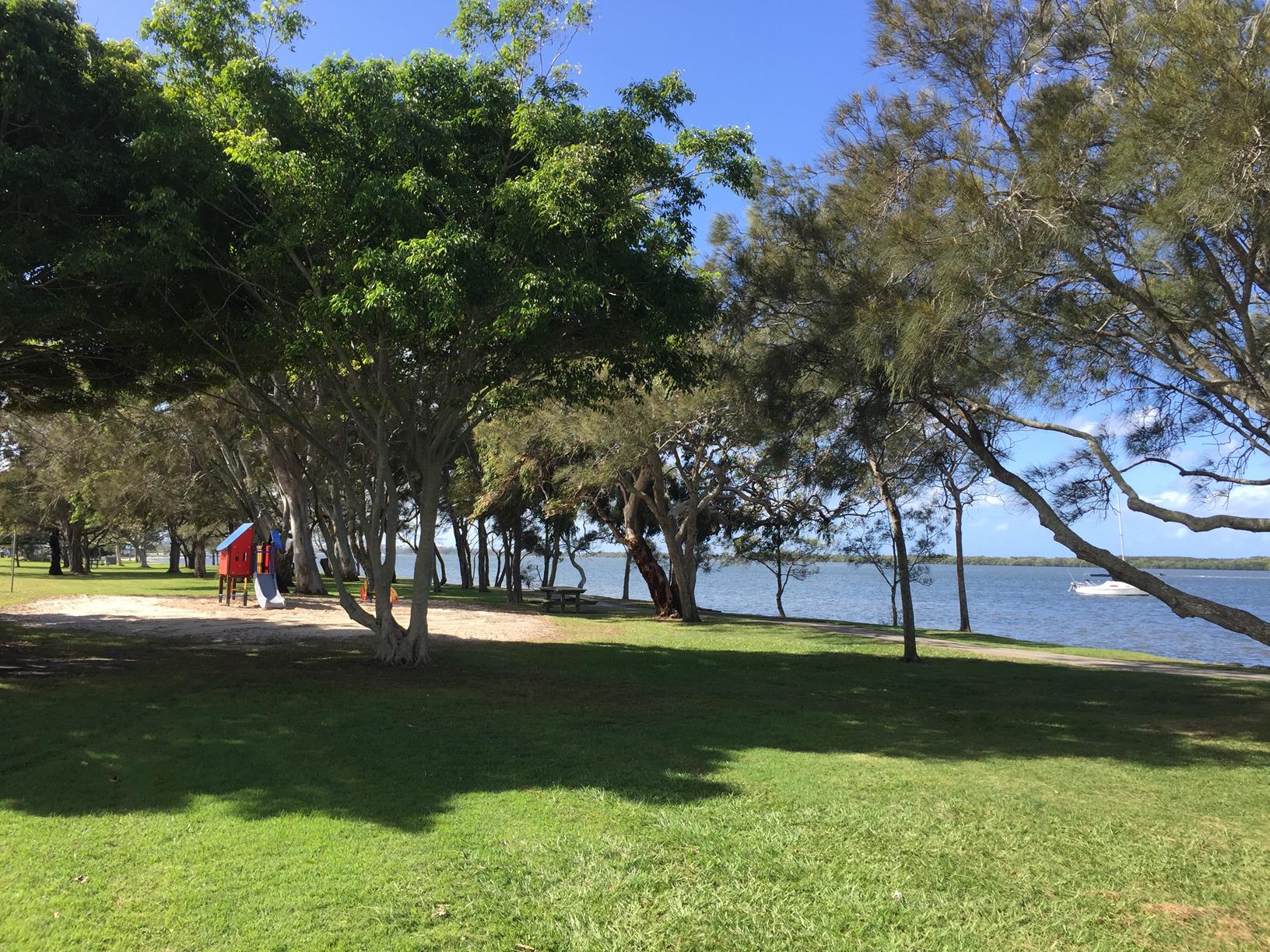
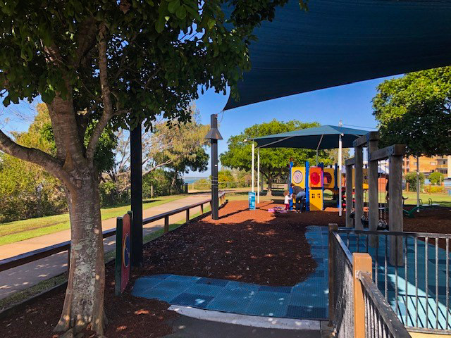
Camp at the campground to make a full experience out of the weekend, with great fishing at dawn and dusk.

HOW TO GET THERE
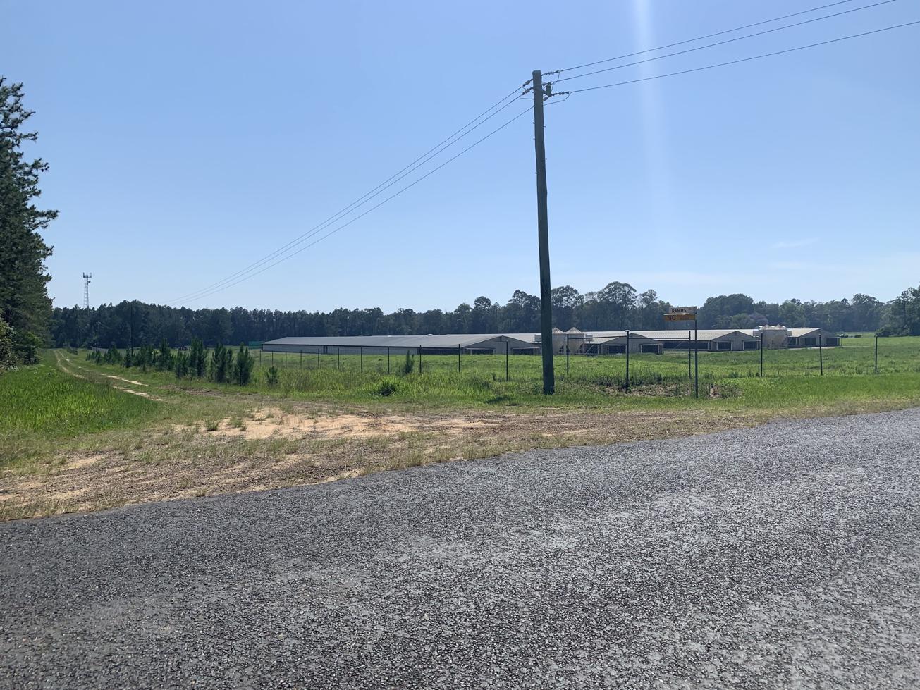
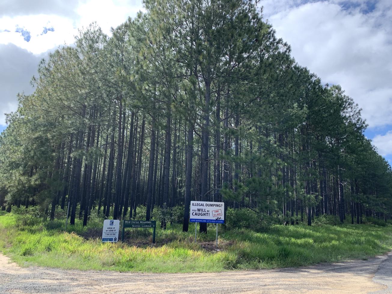
To the starting point: Take the Roys Road exit off M1 and turn east onto Roys Road. Heading from Caloundra turn left at the overpass. If you are heading from Caboolture turn right at the overpass to head East. About 500 metres along this road, turn right into the continuation of Roys Road. AFollow the road until you get to the boat ramp at the end of the road.

To the end point. This is mapped as a one way route there and back but you could drop a car at the campground to paddle it one way.

glossary button
Glossary
  • Icon showing this activity is suitable for wheelchairsSuitable for wheelchairs
  • Icon showing this activity is suitable for walkingSuitable for walking
  • Icon showing this activity is suitable for recreational cyclingSuitable for recreational cycling
  • Icon showing this activity is suitable for mountain bikingSuitable for mountain biking
  • Icon showing this activity is suitable for horse ridingSuitable for horse riding
  • Icon showing this activity is suitable for kayakingSuitable for kayaking
  • Icon showing this activity has drinking water availableDrinking water available
  • Icon showing this activity does not have drinking water availableNo drinking water available
  • Icon showing this activity has a barbeque on siteBarbeque on site
  • Icon showing this activity has a picnic table on sitePicnic table on site
  • Icon showing this activity has toilets on siteToilets on site
  • Icon showing fires are permitted at this activityFires permitted
  • Icon showing fires are prohibited at this activityFires prohibited
  • Icon showing camping is permitted at this activityCamping permitted
  • Icon showing camping is prohibited at this activityCamping prohibited
  • suitable for kayaking suitable for kayaking Suitable for kayaking
  • No drinking water available No drinking water available No drinking water available
  • Picnic table on site Picnic table on site Picnic table on site
  • toilets on site toilets on site Toilets on site
  • Fires prohibited Fires prohibited Fires prohibited
  • Camping permitted Camping permitted Camping permitted
Write a review

Be the first to review this trail.

hazard icon

IN AN EMERGENCY DIAL '000'.

Always Adventure Safely!

  • Always follow any local signage, it contains key information and conditions can change at any time.
  • Use the trails with consideration for your abilities, be prepared for the adventure ahead:
    • Be aware of the weather conditions, found here: http://www.bom.gov.au/qld/.
    • Always wear appropriate clothing, focus on good footwear.
    • Always bring more water than you think you will need.
    • Be Sun Safe!
    • Always let someone know where you are going that isn’t going with you.
  • Just getting started try this site for good useful information: https://www.trailhiking.com.au/hike-safety/
  • Sunshine Coast Council does it’s best to maintain current information but things can change so always be aware that a trail may not be as listed in this guide, and report and issues via our feedback link.

Nearby Trails

Trail Image for Ramms Road Trail (East of M1)
Difficult

Ramms Road Trail (East of M1)

Beerburrum
walking icon mountain biking icon horse riding icon
Trail type
difficulty icon
Skill Level

16.9km

Length
direction icon
Circuit
Trail Image for Wild Horse Mountain Lookout
Intermediate

Wild Horse Mountain Lookout

Coochin Creek
walking icon
Trail type
difficulty icon
Skill Level

0.8km

Length
direction icon
One-way
Trail Image for Bells Creek boat ramp to Golden Beach
Intermediate

Bells Creek boat ramp to Golden Beach

Bribie Island North
canoeing icon
Trail type
difficulty icon
Skill Level

4.3km

Length
direction icon
One-way
Trail Image for Coastal Pathway: Golden Beach Esplanade
Easy

Coastal Pathway: Golden Beach Esplanade

Golden Beach
walking icon cycling icon
Trail type
difficulty icon
Skill Level

5.1km

Length
direction icon
Circuit
Trail Image for Beerwah State Forest: Bora Ring
Easy

Beerwah State Forest: Bora Ring

Glass House Mountains
walking icon
Trail type
difficulty icon
Skill Level

0.2km

Length
direction icon
Circuit

Share this trail

This action requires a login.
To continue, click on Login/Signup below.

Photo uploaded successfully, thank you.

Feedback / Suggest an Adventure

If you have any feedback on the site or any of the trails, please drop us a short email.

Have we missed something? Do you have an adventure to suggest? Fill in the suggestion form to let us know about it.