facebook
Image showing that the PDF download is in progress... PDF download in progress

Please wait...

Image showing a pink decorative paint splat
Image showing a green decorative paint splat
upload photo button
reviews buttonReviews view map buttonMap
view 3d map button3D Map
directions take me there buttonDirections
Save
PDF
Gpx File

Bells Reach Active Playground Connection

Bells Reach Active Playground Connection
Caloundra West
walking icon walking icon black cycling icon cycling icon black
Trail type
difficulty icon
Skill Level
4.7km
Length
direction icon direction icon black
Circuit

Active fun for all the family, an easy walk that connections the Bells Reach community to the different levels of playground’s and a café to rest up or watch the kids play.

SUITABILITY
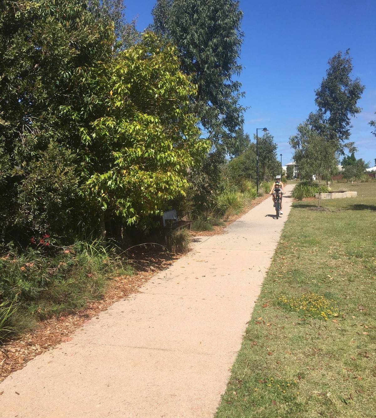
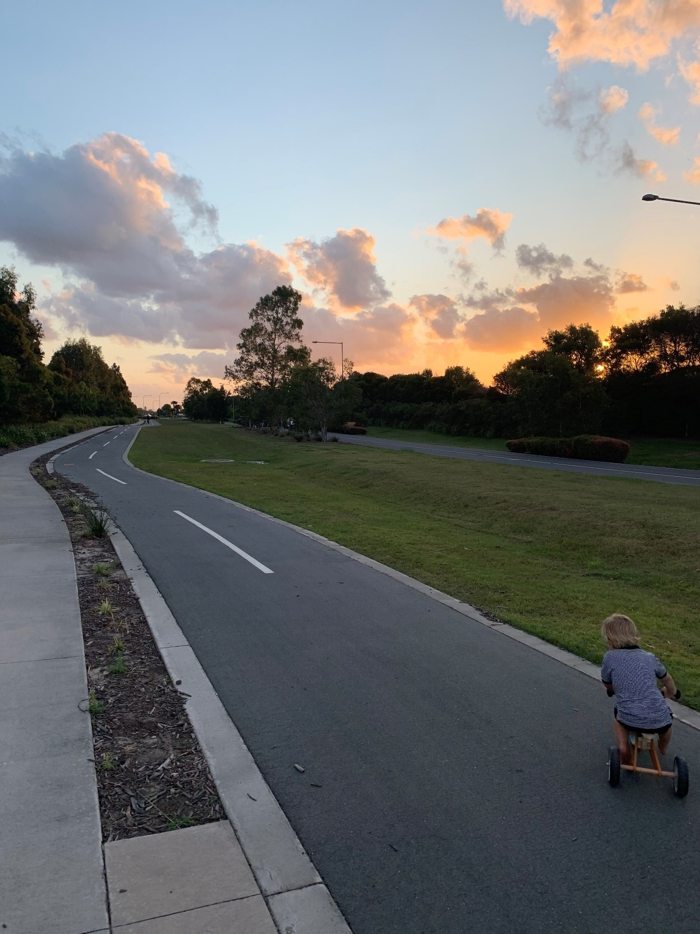
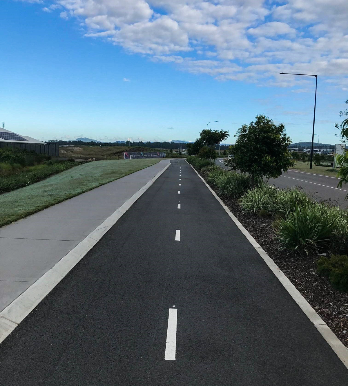
Suitable for walking, jogging, bicycles with dogs on leash allowed. 60mins walking pace return.

HIGHLIGHTS
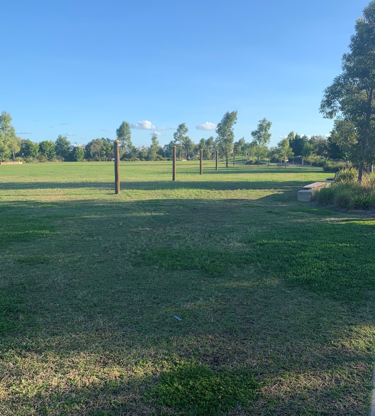
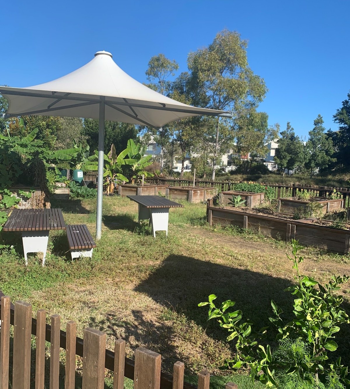
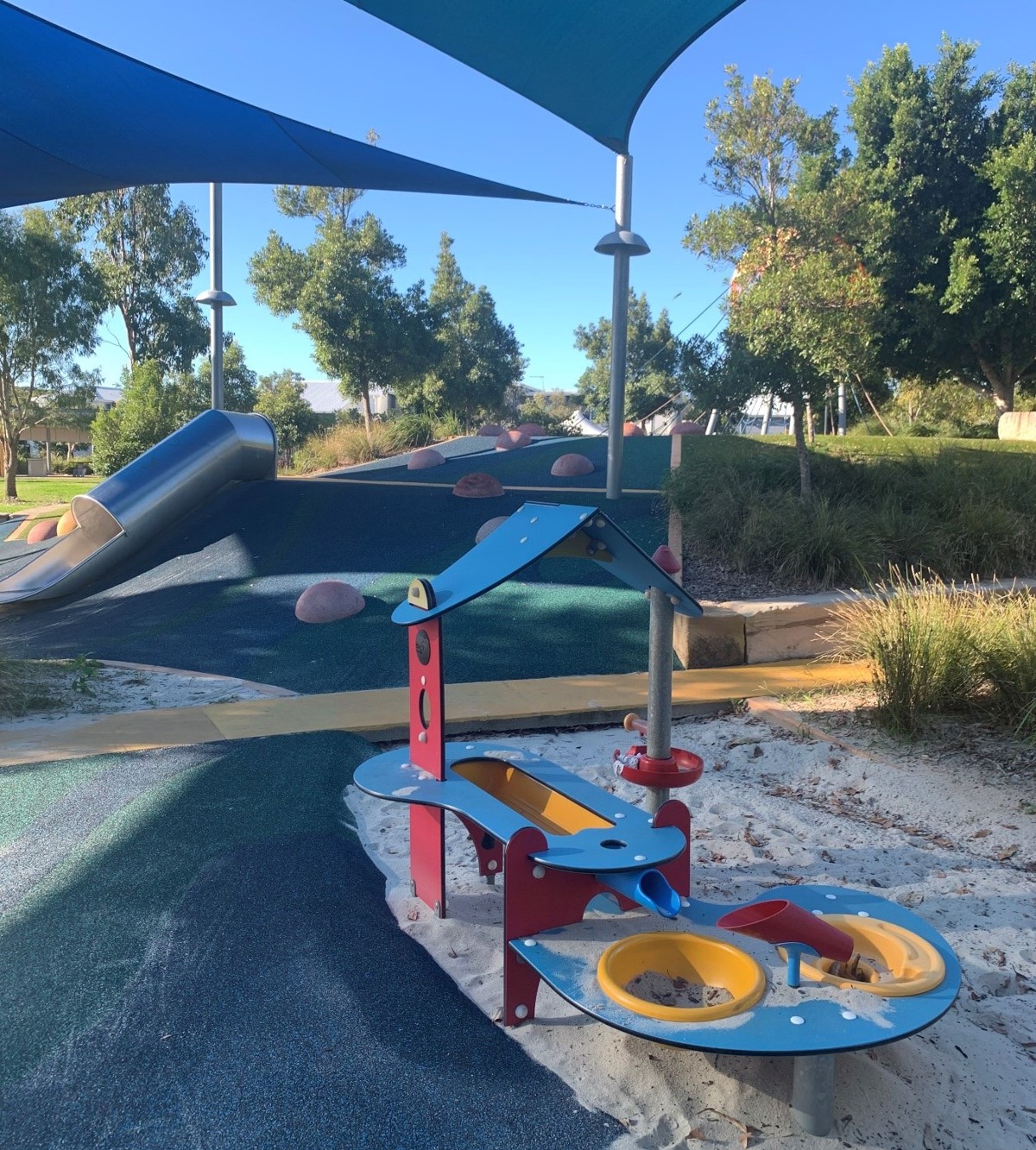
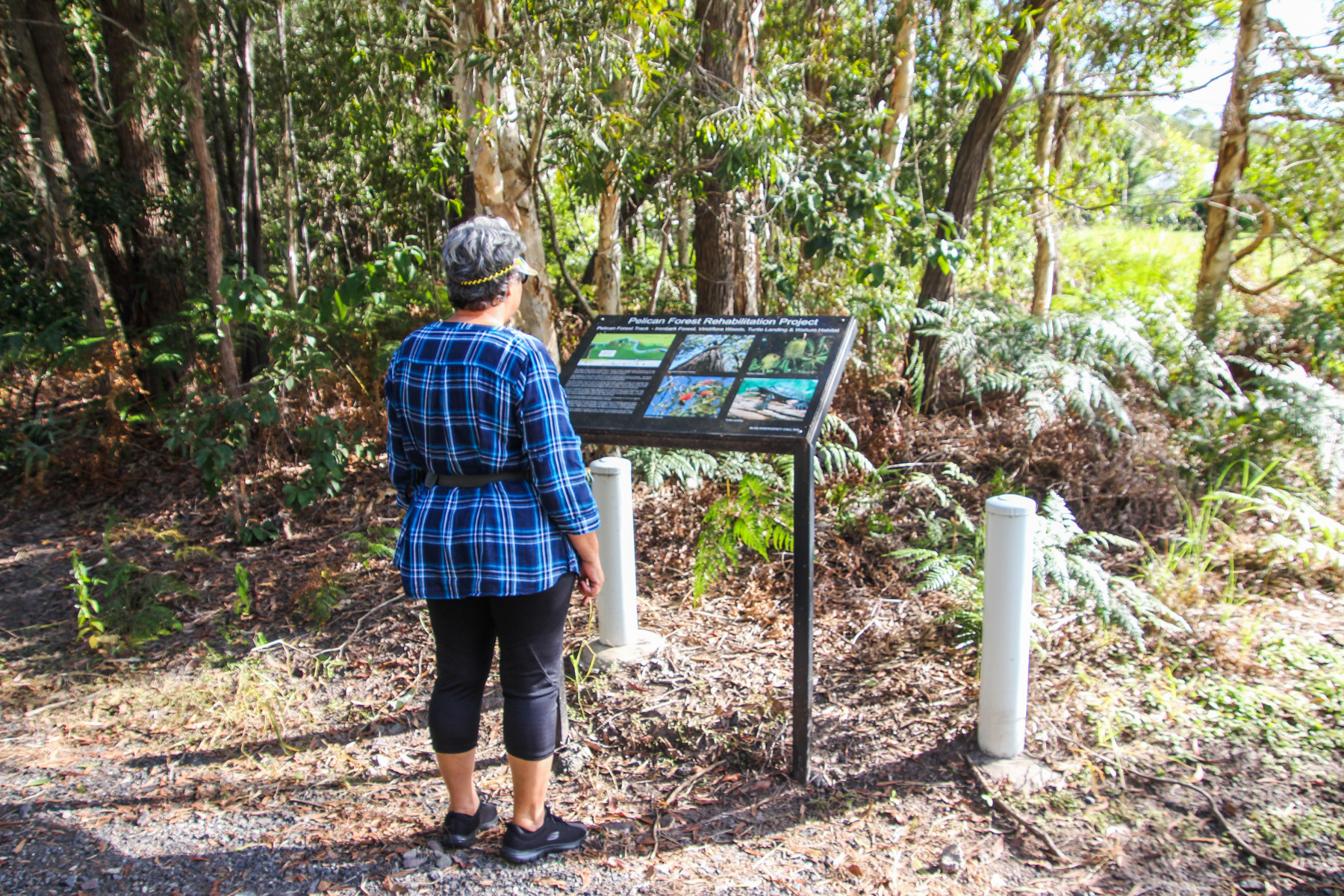
Start out along the path at Active Park where the outdoor gym equipment is the journey beings to loop around the park where you can show the kids the community herb garden. The Active Park suits all ages with plenty of open space to kick a ball and a younger kid’s playground. Continuing along the path be sure to take close attention when crossing the road that link the paths especially along Indigo Road and Bell Vista Blvd.

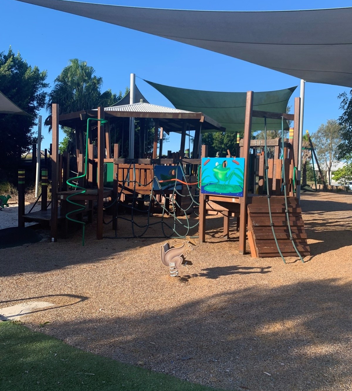
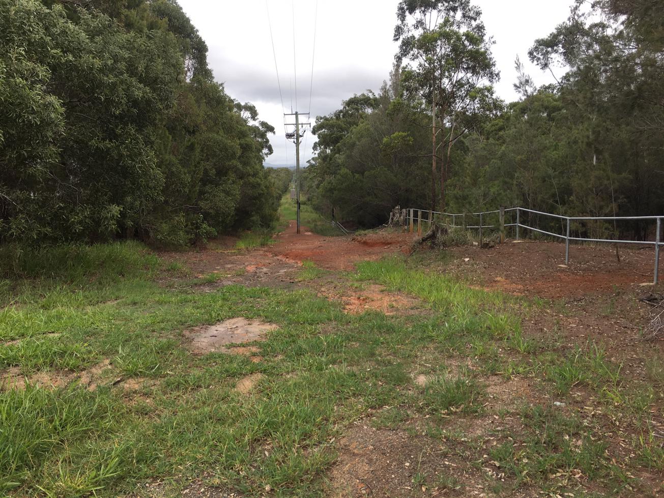
The journey will take you around to Quinn Park after crossing the road with a larger playground which has lots of climbing and rope activities as well a cafe where you can take your dog. Continue the journey south past the entrance to Arbour Estate and follow the path around to a right bend where you move along the edge with a nature reserve where wildlife like birds become louder as you sound of cars soon fade away. You connect up with a smaller playground but this one features a flying fox swing with another spot to relax with the family, plenty of drinking fountains, tables and shade sails to play under along the way. The journey loops back past the cafe with the temptation of a refreshment at the café before you continue along taking advantage of the extra bike lanes where you shortly you arrive back.

HOW TO GET THERE
The best place to park from all possible entrances onto Bell Vista Blvd to turn into Indigo Road which is on your left if heading from Caloundra Road 150m straight past the roundabout making sure you don’t turn right onto Dumbarton Drive that’s on the same roundabout. If you’re heading towards Caloundra Road you will need to turn around on the same round about and follow same directions Follow Indigo Road around where it has a sharp left turn and continue where you will see parking bays to your left almost right away where with the path just metres from the car.

If you live close by within short distance of the track just hope onto the closest point and continue the direction to suit your connection home.

glossary button
Glossary
  • Icon showing this activity is suitable for wheelchairsSuitable for wheelchairs
  • Icon showing this activity is suitable for walkingSuitable for walking
  • Icon showing this activity is suitable for recreational cyclingSuitable for recreational cycling
  • Icon showing this activity is suitable for mountain bikingSuitable for mountain biking
  • Icon showing this activity is suitable for horse ridingSuitable for horse riding
  • Icon showing this activity is suitable for kayakingSuitable for kayaking
  • Icon showing this activity has drinking water availableDrinking water available
  • Icon showing this activity does not have drinking water availableNo drinking water available
  • Icon showing this activity has a barbeque on siteBarbeque on site
  • Icon showing this activity has a picnic table on sitePicnic table on site
  • Icon showing this activity has toilets on siteToilets on site
  • Icon showing fires are permitted at this activityFires permitted
  • Icon showing fires are prohibited at this activityFires prohibited
  • Icon showing camping is permitted at this activityCamping permitted
  • Icon showing camping is prohibited at this activityCamping prohibited
  • Suitable for walking Suitable for walking black lines Suitable for walking
  • Suitable for recreational cycling Suitable for recreational cycling Suitable for recreational cycling
  • Drinking water available Drinking water available Drinking water available
  • barbeque on site barbeque on site Barbeque on site
  • Picnic table on site Picnic table on site Picnic table on site
  • toilets on site toilets on site Toilets on site
  • Fires prohibited Fires prohibited Fires prohibited
  • Camping prohibited Camping prohibited Camping prohibited
Write a review

Be the first to review this trail.

hazard icon

IN AN EMERGENCY DIAL '000'.

Always Adventure Safely!

  • Always follow any local signage, it contains key information and conditions can change at any time.
  • Use the trails with consideration for your abilities, be prepared for the adventure ahead:
    • Be aware of the weather conditions, found here: http://www.bom.gov.au/qld/.
    • Always wear appropriate clothing, focus on good footwear.
    • Always bring more water than you think you will need.
    • Be Sun Safe!
    • Always let someone know where you are going that isn’t going with you.
  • Just getting started try this site for good useful information: https://www.trailhiking.com.au/hike-safety/
  • Sunshine Coast Council does it’s best to maintain current information but things can change so always be aware that a trail may not be as listed in this guide, and report and issues via our feedback link.

Sunshine Coast Council

For any issues with this experience please contact:

Sunshine Coast Council via 07 5475 7272 or via e-mail: adventure@sunshinecoast.qld.gov.au

Nearby Trails

Trail Image for Baringa South Side Playground Loop
Easy

Baringa South Side Playground Loop

Baringa
walking icon cycling icon
Trail type
difficulty icon
Skill Level

4.3km

Length
direction icon
Circuit
Trail Image for Baringa North Side Playground Loop
Easy

Baringa North Side Playground Loop

Baringa
walking icon cycling icon
Trail type
difficulty icon
Skill Level

3.7km

Length
direction icon
Circuit
Trail Image for Aura: Baringa to Nirmba
Easy

Aura: Baringa to Nirmba

Aura
walking icon cycling icon
Trail type
difficulty icon
Skill Level

8.0km

Length
direction icon
One-way
Trail Image for Jill Chamberlain Nature Refuge
Intermediate

Jill Chamberlain Nature Refuge

Little Mountain
walking icon
Trail type
difficulty icon
Skill Level

1.6km

Length
direction icon
Circuit
Trail Image for Lamerough Creekside Walk
Easy

Lamerough Creekside Walk

Pelican Waters
walking icon cycling icon
Trail type
difficulty icon
Skill Level

2.1km

Length
direction icon
One-way

Share this trail

This action requires a login.
To continue, click on Login/Signup below.

Photo uploaded successfully, thank you.

Feedback / Suggest an Adventure

If you have any feedback on the site or any of the trails, please drop us a short email.

Have we missed something? Do you have an adventure to suggest? Fill in the suggestion form to let us know about it.