facebook
Image showing that the PDF download is in progress... PDF download in progress

Please wait...

Image showing a pink decorative paint splat
Image showing a green decorative paint splat
upload photo button
reviews buttonReviews view map buttonMap
view 3d map button3D Map
directions take me there buttonDirections
Save
PDF
Gpx File

Jill Chamberlain Nature Refuge

Jill Chamberlain Nature Refuge
Little Mountain
walking icon walking icon black
Trail type
difficulty icon
Skill Level
1.6km
Length
direction icon direction icon black
Circuit

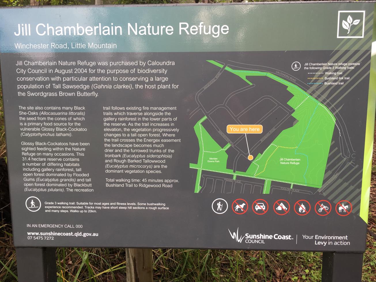
A recovering bush land on a slope in the back of Caloundra West and a grazing ground for grey kangaroos.

SUITABILITY
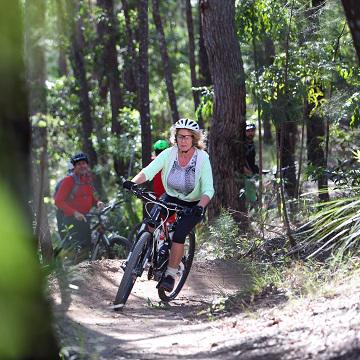
Suitable for walkers of some experience and mountain bikers.

HIGHLIGHTS
This important refuge was purchased by Caloundra Council in 2004 to safeguard an important habitat and food source for black cockatoos, the swordgrass brown butterfly, koalas and grey kangaroos. Dogs must be on leash at all time for the protection of native animals.

The park was named in honour of Jill Chamberlain, a local environmental activist who has campaigned for nature cause for over 30 years.

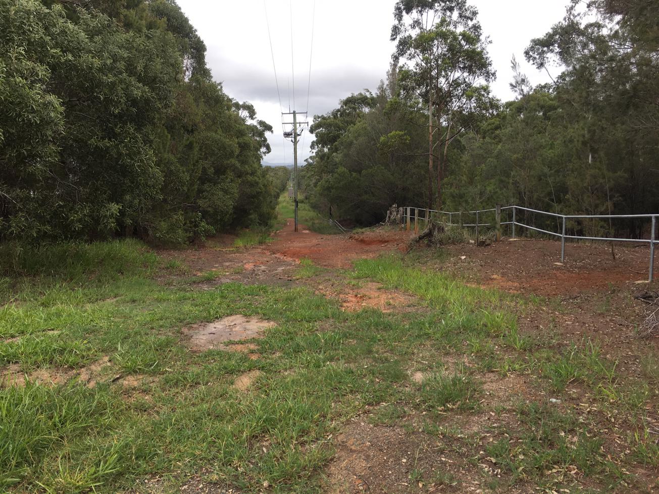
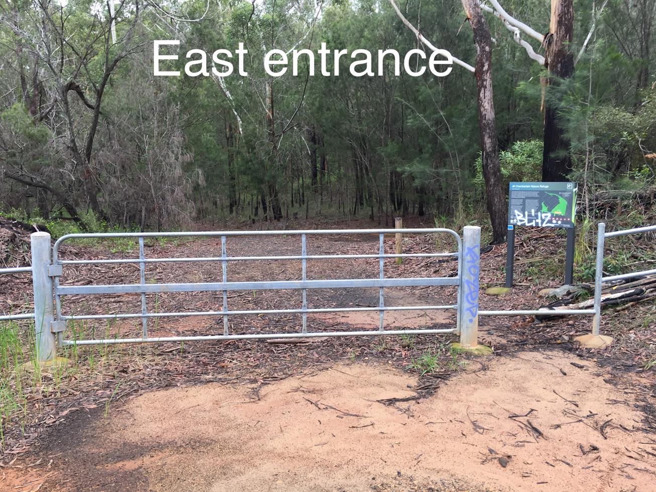
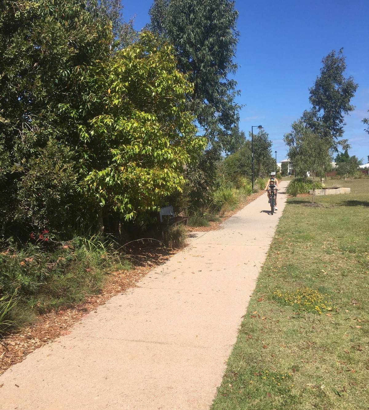
This walk will take you along the western perimeter before entering the bushland (mostly she-oaks) and slowly ascending the hill. You will come out to an open grassy section with powerlines running across it. Here you are likely to see kangaroos grazing. You can continue straight ahead and up to reach Old Caloundra Road. To do the marked route, turn right and head down hill, over some rocky fill and past a palm gully before swinging around to your right and following a path alongside the eastern boundary. You could well see more kangaroos on the fields to your east. The well-worn path leads straight to the metal fence where it’s an easy climb through and short return to your starting point.

AFTERWARDS
From Jill Chamberlain Nature Reserve is you head west along the grasslands you will come to a green parkland corridor that leads south to Canavan Gracie Recreation Park and Little Mountain Common. Caloundra eateries and beaches are only a few kilometres away – a great spot for a dip and bite to eat. Mountain biikers, Sugar Bag Road Mountain Bike Trails are just minutes away with plenty of trails to choose from.

HOW TO GET THERE
To the starting point: The Jill Chamberlain Nature Refuge (31.45ha) borders Caloundra Road, approximately 3 km west of Caloundra and 6km east of the M1 Caloundra Road turn-off.

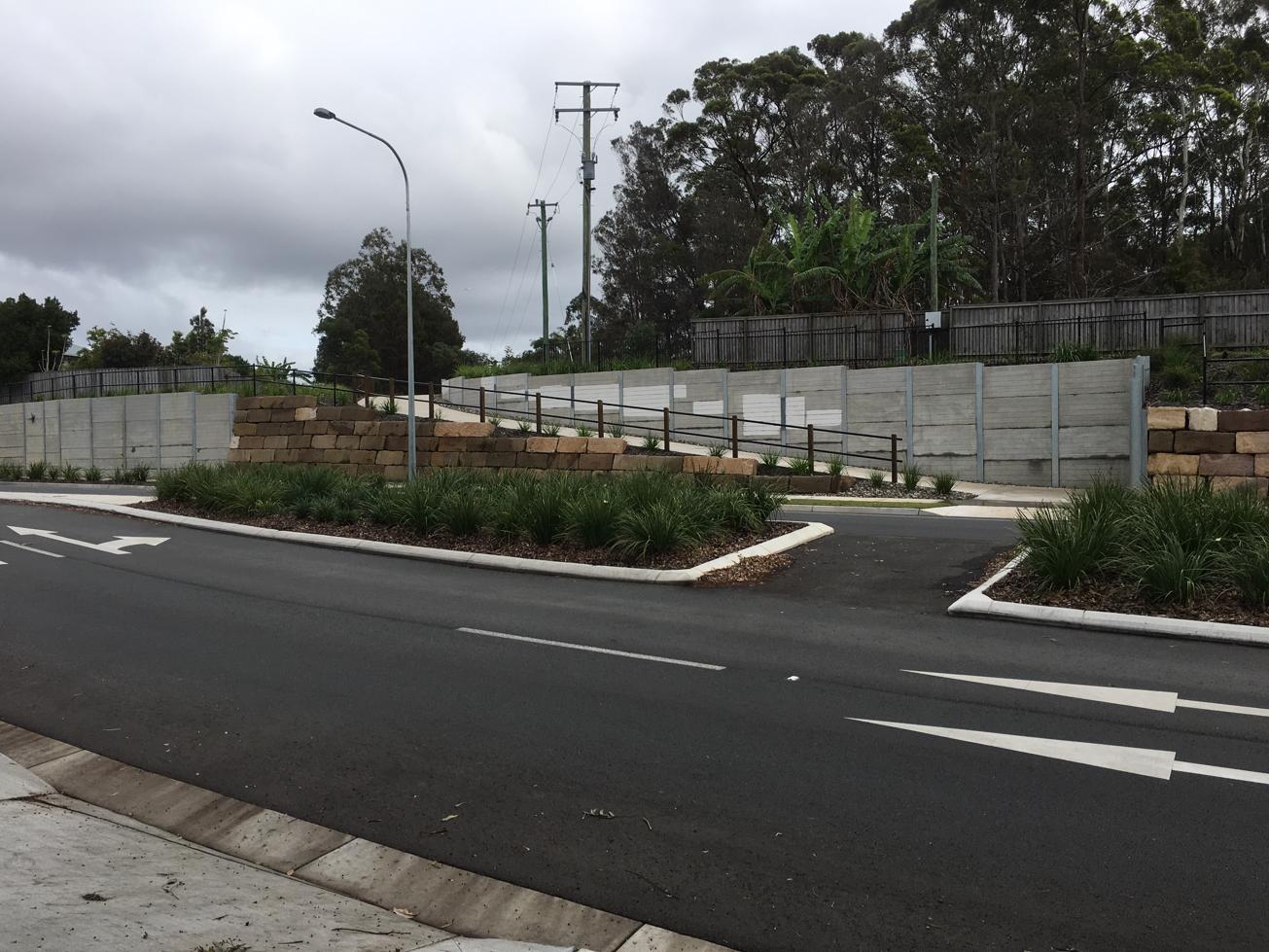
While there are multiple entry points the best place to start is at the end of Winchester Rd. Heading along Caloundra Road turn south into Ridgewood Rd and follow it around the corner and head to the end of the road parking on the side of the road near the gate.

You can also access the reserve from: the top via Old Caloundra Road (runs parallel to Caloundra Road); from west off of Bellvista Road.

To the end point. In this instance the end point is your starting point, however you could choose to walk through the Refuge as part of a longer circuit from another start point.

glossary button
Glossary
  • Icon showing this activity is suitable for wheelchairsSuitable for wheelchairs
  • Icon showing this activity is suitable for walkingSuitable for walking
  • Icon showing this activity is suitable for recreational cyclingSuitable for recreational cycling
  • Icon showing this activity is suitable for mountain bikingSuitable for mountain biking
  • Icon showing this activity is suitable for horse ridingSuitable for horse riding
  • Icon showing this activity is suitable for kayakingSuitable for kayaking
  • Icon showing this activity has drinking water availableDrinking water available
  • Icon showing this activity does not have drinking water availableNo drinking water available
  • Icon showing this activity has a barbeque on siteBarbeque on site
  • Icon showing this activity has a picnic table on sitePicnic table on site
  • Icon showing this activity has toilets on siteToilets on site
  • Icon showing fires are permitted at this activityFires permitted
  • Icon showing fires are prohibited at this activityFires prohibited
  • Icon showing camping is permitted at this activityCamping permitted
  • Icon showing camping is prohibited at this activityCamping prohibited
  • Suitable for walking Suitable for walking black lines Suitable for walking
  • No drinking water available No drinking water available No drinking water available
  • Fires prohibited Fires prohibited Fires prohibited
  • Camping prohibited Camping prohibited Camping prohibited
Write a review

Review Date: 22/04/2019

I found this very easily via the Adventure website after selecting the adventure I wanted and searching the map for what was close to me. The trail is a little bit off the beaten track, but does have have access via surrounding streets to the various entrances. There is pretty much an entrance from north, south, east and west. The size of the trail does vary at different points. Some of it is wide and you could walk three across, while some is single file only to wide open areas you could play a football game. Condition varies as well. I walked through knee high grass at one point, that opened to track that was loose broken rocks, that eventually lead to a gravel/sand track, which changed to grass again. Some tracks weren’t as defined as much as others. I travelled this track not long after rain and it wasn’t too bad. Some mozzies and wet/puddles was expected. You can hear the birds in the bush more than see them, but if lucky you can catch a glimpse of the local kangaroos. The description on the website is pretty much, bang on. I’d recommended the track, as it’s quiet, besides wild life and there are various tracks, so you can do different ones or explore a bit more.

Reviewed By: Brett

hazard icon

IN AN EMERGENCY DIAL '000'.

Always Adventure Safely!

  • Always follow any local signage, it contains key information and conditions can change at any time.
  • Use the trails with consideration for your abilities, be prepared for the adventure ahead:
    • Be aware of the weather conditions, found here: http://www.bom.gov.au/qld/.
    • Always wear appropriate clothing, focus on good footwear.
    • Always bring more water than you think you will need.
    • Be Sun Safe!
    • Always let someone know where you are going that isn’t going with you.
  • Just getting started try this site for good useful information: https://www.trailhiking.com.au/hike-safety/
  • Sunshine Coast Council does it’s best to maintain current information but things can change so always be aware that a trail may not be as listed in this guide, and report and issues via our feedback link.

Sunshine Coast Council

For any issues with this experience please contact:

Sunshine Coast Council via 07 5475 7272 or via e-mail: adventure@sunshinecoast.qld.gov.au

Nearby Trails

Trail Image for Bells Reach Active Playground Connection
Easy

Bells Reach Active Playground Connection

Caloundra West
walking icon cycling icon
Trail type
difficulty icon
Skill Level

4.7km

Length
direction icon
Circuit
Trail Image for Little Mountain Cycle Circuit
Easy

Little Mountain Cycle Circuit

Little Mountain
walking icon cycling icon mountain biking icon
Trail type
difficulty icon
Skill Level

2.6km

Length
direction icon
Circuit
Trail Image for Sugar Bag Mountain Bike Trails: Beginners Loop
Easy

Sugar Bag Mountain Bike Trails: Beginners Loop

Caloundra West
mountain biking icon
Trail type
difficulty icon
Skill Level

6.4km

Length
direction icon
Circuit
Trail Image for Sugar Bag Mountain Bike Trails: Pump Track
Intermediate

Sugar Bag Mountain Bike Trails: Pump Track

walking icon cycling icon mountain biking icon
Trail type
difficulty icon
Skill Level

0.2km

Length
direction icon
Circuit
Trail Image for Baringa North Side Playground Loop
Easy

Baringa North Side Playground Loop

Baringa
walking icon cycling icon
Trail type
difficulty icon
Skill Level

3.7km

Length
direction icon
Circuit

Share this trail

This action requires a login.
To continue, click on Login/Signup below.

Photo uploaded successfully, thank you.

Feedback / Suggest an Adventure

If you have any feedback on the site or any of the trails, please drop us a short email.

Have we missed something? Do you have an adventure to suggest? Fill in the suggestion form to let us know about it.