facebook
Image showing that the PDF download is in progress... PDF download in progress

Please wait...

Image showing a pink decorative paint splat
Image showing a green decorative paint splat
upload photo button
reviews buttonReviews view map buttonMap
view 3d map button3D Map
directions take me there buttonDirections
Save
PDF
Gpx File

Sugar Bag Mountain Bike Trails: Pump Track

Sugar Bag Mountain Bike Trails: Pump Track
walking icon walking icon black cycling icon cycling icon black mountain biking icon mountain biking icon black
Trail type
difficulty icon
Skill Level
0.2km
Length
direction icon direction icon black
Circuit

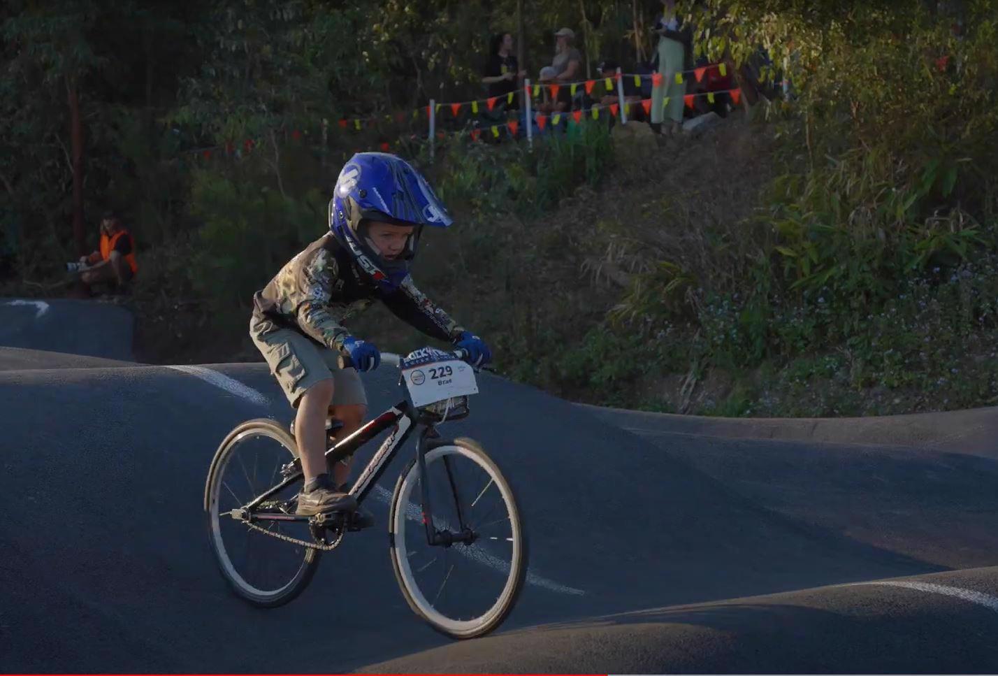
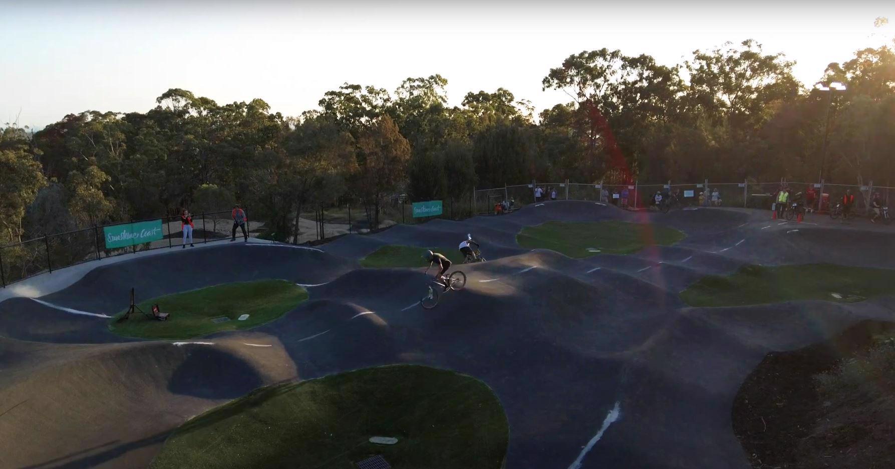
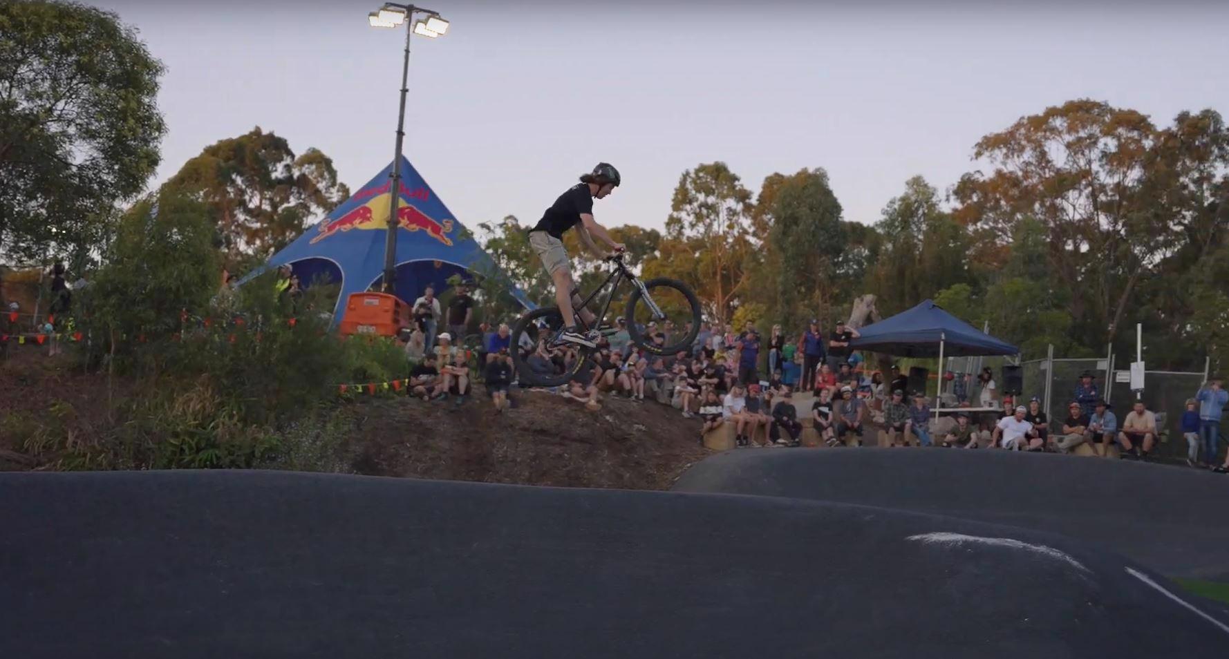
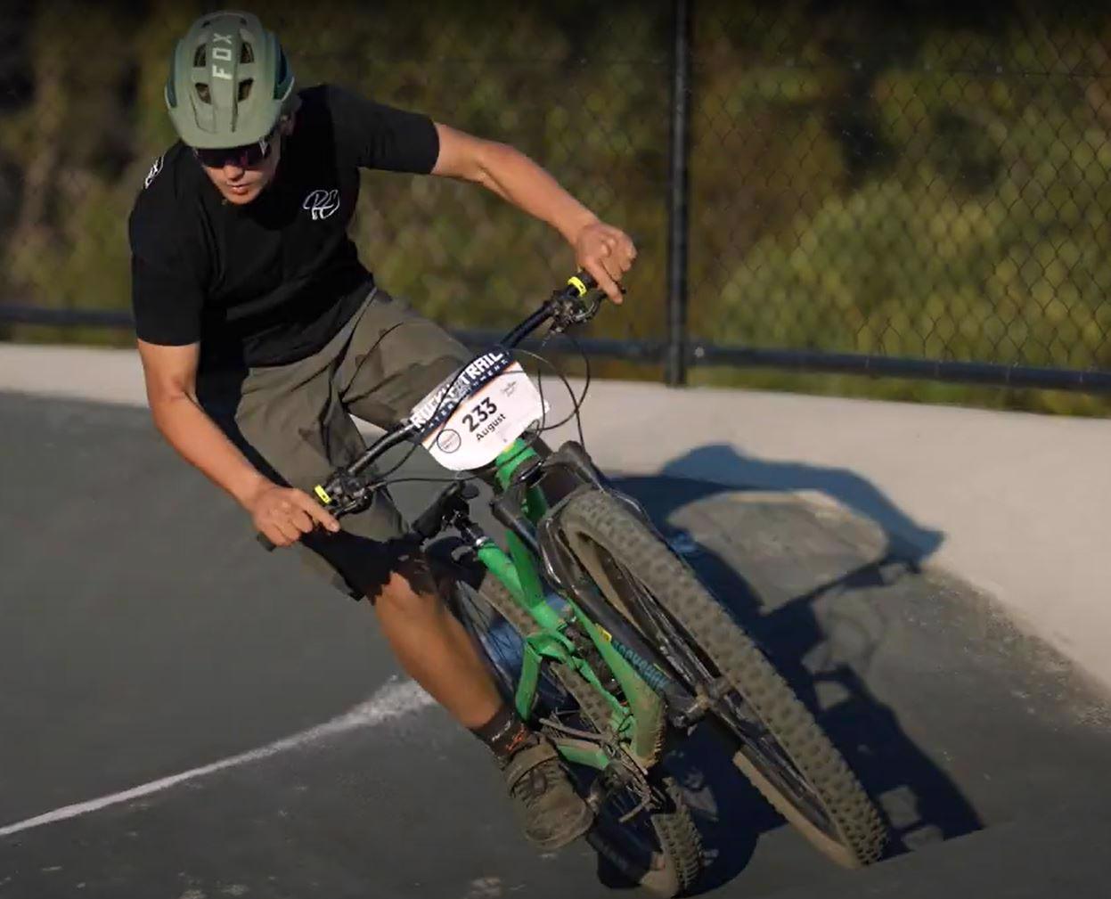
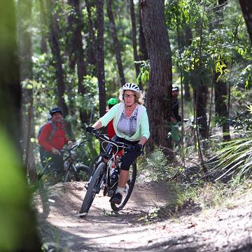
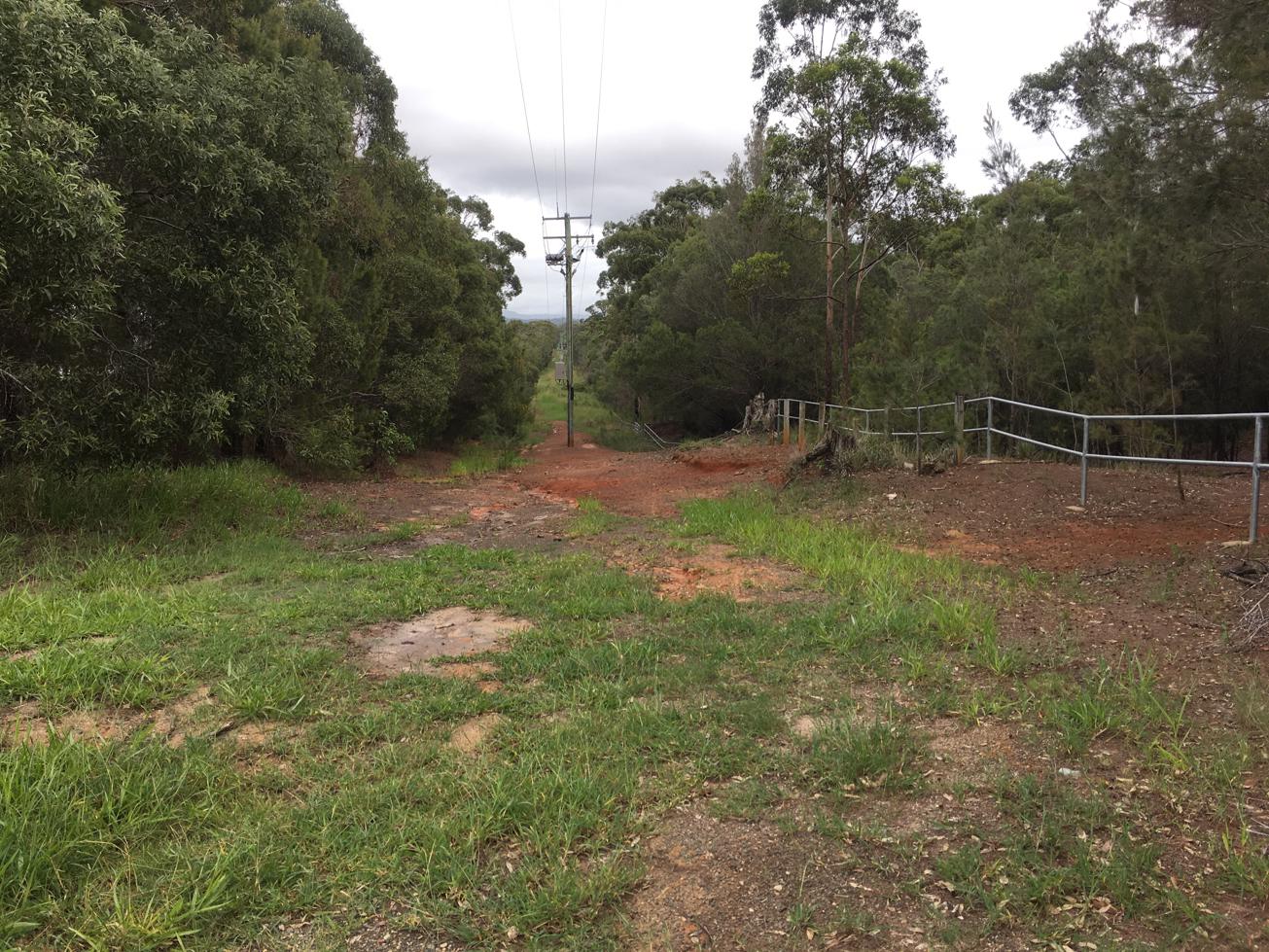
Looking for bike trials that will get your heart pumping and fun for all ages and skill levels?! Head out to the Sunshine Coast's first pump track at the Sugar Bag Road Mountain bike trails. Grab your bike and helmet and give the pump track a go!

SUITABILITY
Suitable for riders of all skill levels.

HIGHLIGHTS
This pump track is a great example of one design can fit all – whether you are four-years-old on a balance bike, just up for a bit of fun or a professional BMX rider! On top of that, the design allows for head-to-head racing, so grab your buddy and see who is faster, but remember no peddling!

AFTERWARDS
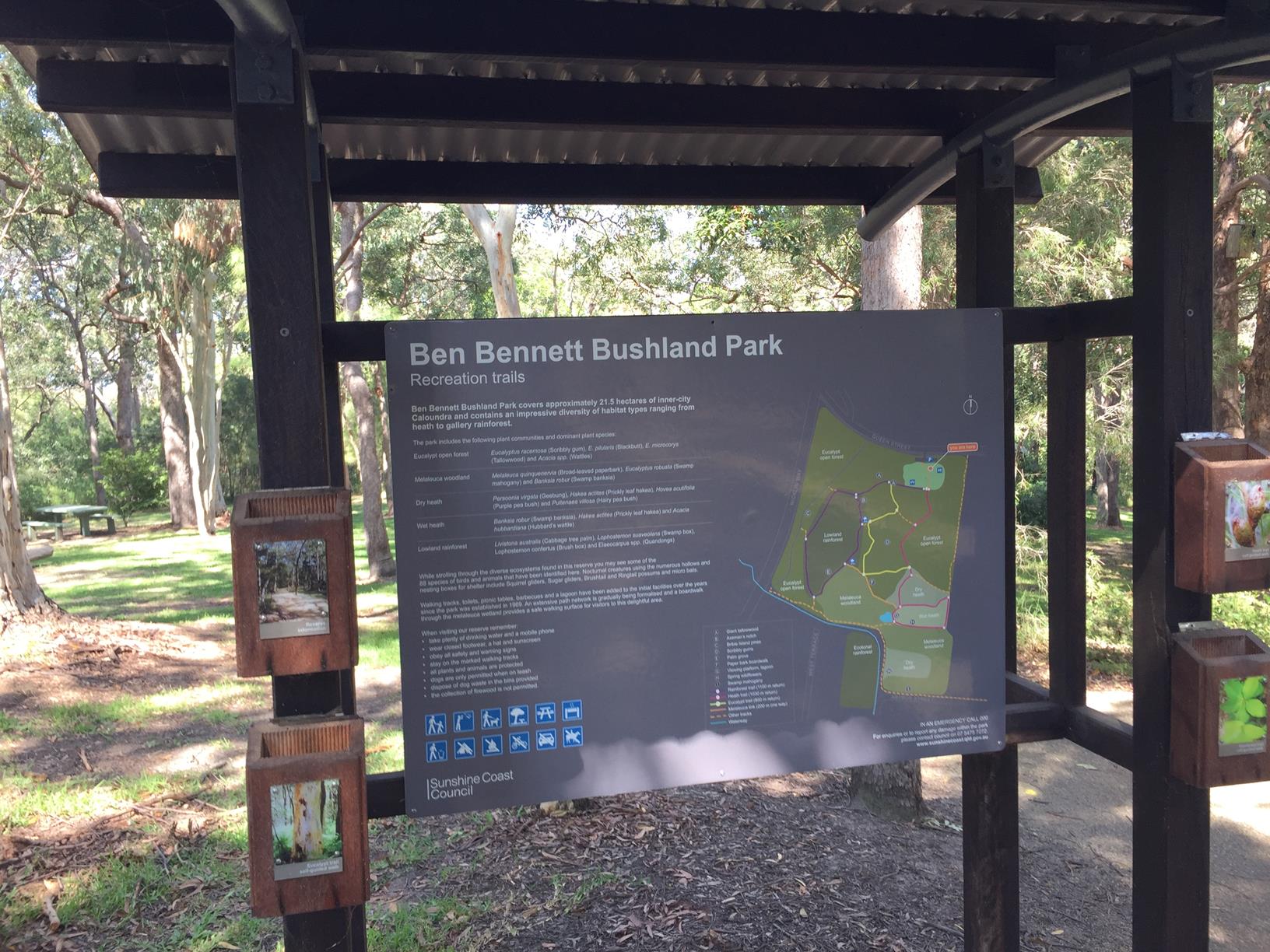
After you are done here, you have the rest of the awesome Sugar Bag Mountain bike trails waiting.

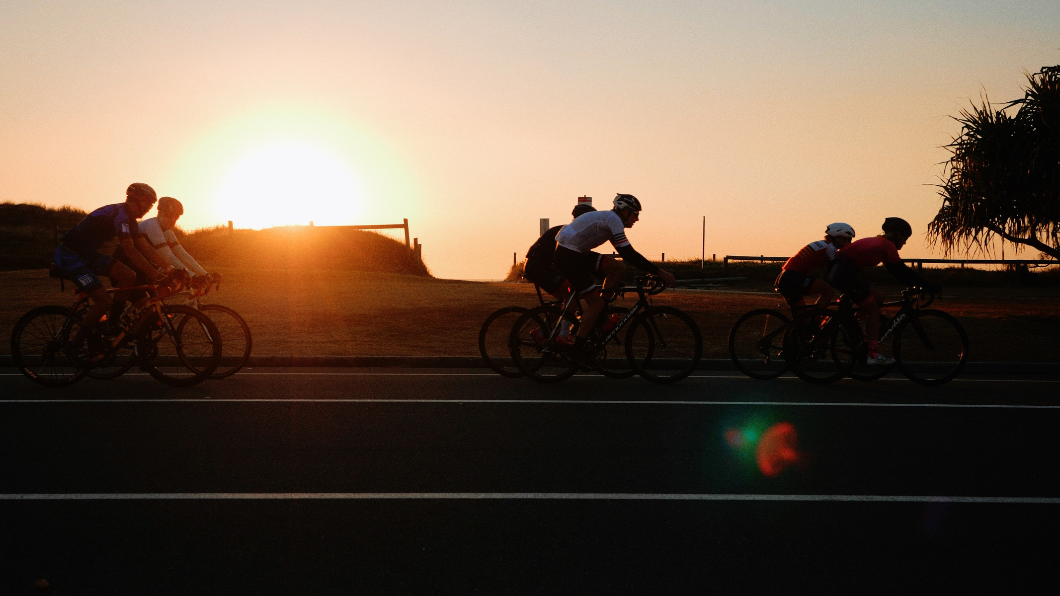
And then to finish, Caloundra's excellent beaches are a stone’s throw away to cool off.

HOW TO GET THERE
To the starting point: traveling into town on Caloundra Road from the Bruce Highway turn onto Sugar Bag road at the lights at the top of the hill. Then just a few kilometres down the road you will see the trail head carpark on your right. If you pass the town water tanks you have gone too far.

glossary button
Glossary
  • Icon showing this activity is suitable for wheelchairsSuitable for wheelchairs
  • Icon showing this activity is suitable for walkingSuitable for walking
  • Icon showing this activity is suitable for recreational cyclingSuitable for recreational cycling
  • Icon showing this activity is suitable for mountain bikingSuitable for mountain biking
  • Icon showing this activity is suitable for horse ridingSuitable for horse riding
  • Icon showing this activity is suitable for kayakingSuitable for kayaking
  • Icon showing this activity has drinking water availableDrinking water available
  • Icon showing this activity does not have drinking water availableNo drinking water available
  • Icon showing this activity has a barbeque on siteBarbeque on site
  • Icon showing this activity has a picnic table on sitePicnic table on site
  • Icon showing this activity has toilets on siteToilets on site
  • Icon showing fires are permitted at this activityFires permitted
  • Icon showing fires are prohibited at this activityFires prohibited
  • Icon showing camping is permitted at this activityCamping permitted
  • Icon showing camping is prohibited at this activityCamping prohibited
  • Suitable for walking Suitable for walking black lines Suitable for walking
  • Suitable for recreational cycling Suitable for recreational cycling Suitable for recreational cycling
  • Suitable for mountain biking Suitable for mountain biking Suitable for mountain biking
  • Drinking water available Drinking water available Drinking water available
  • barbeque on site barbeque on site Barbeque on site
  • Picnic table on site Picnic table on site Picnic table on site
  • Fires prohibited Fires prohibited Fires prohibited
  • Camping prohibited Camping prohibited Camping prohibited
Write a review

Be the first to review this trail.

hazard icon

IN AN EMERGENCY DIAL '000'.

Always Adventure Safely!

  • Always follow any local signage, it contains key information and conditions can change at any time.
  • Use the trails with consideration for your abilities, be prepared for the adventure ahead:
    • Be aware of the weather conditions, found here: http://www.bom.gov.au/qld/.
    • Always wear appropriate clothing, focus on good footwear.
    • Always bring more water than you think you will need.
    • Be Sun Safe!
    • Always let someone know where you are going that isn’t going with you.
  • Just getting started try this site for good useful information: https://www.trailhiking.com.au/hike-safety/
  • Sunshine Coast Council does it’s best to maintain current information but things can change so always be aware that a trail may not be as listed in this guide, and report and issues via our feedback link.

Sunshine Coast Council

For any issues with this experience please contact:

Sunshine Coast Council via 07 5475 7272 or via e-mail: adventure@sunshinecoast.qld.gov.au

Nearby Trails

Trail Image for Sugar Bag Mountain Bike Trails: Beginners Loop
Easy

Sugar Bag Mountain Bike Trails: Beginners Loop

Caloundra West
mountain biking icon
Trail type
difficulty icon
Skill Level

6.4km

Length
direction icon
Circuit
Trail Image for Ben Bennett Bushland Park
Easy

Ben Bennett Bushland Park

Caloundra
walking icon
Trail type
difficulty icon
Skill Level

1.5km

Length
direction icon
Circuit
Trail Image for Currimundi South Arm Loop
Easy

Currimundi South Arm Loop

Aroona
walking icon cycling icon
Trail type
difficulty icon
Skill Level

4.2km

Length
direction icon
Circuit
Trail Image for Road Cycle Route: Pt. Cartwright to Moffat Beach
Difficult

Road Cycle Route: Pt. Cartwright to Moffat Beach

Aroona
walking icon cycling icon
Trail type
difficulty icon
Skill Level

30.6km

Length
direction icon
One-way
Trail Image for Jill Chamberlain Nature Refuge
Intermediate

Jill Chamberlain Nature Refuge

Little Mountain
walking icon
Trail type
difficulty icon
Skill Level

1.6km

Length
direction icon
Circuit

Share this trail

This action requires a login.
To continue, click on Login/Signup below.

Photo uploaded successfully, thank you.

Feedback / Suggest an Adventure

If you have any feedback on the site or any of the trails, please drop us a short email.

Have we missed something? Do you have an adventure to suggest? Fill in the suggestion form to let us know about it.