facebook
Image showing that the PDF download is in progress... PDF download in progress

Please wait...

Image showing a pink decorative paint splat
Image showing a green decorative paint splat
upload photo button
reviews buttonReviews view map buttonMap
view 3d map button3D Map
directions take me there buttonDirections
Save
PDF
Gpx File

Maroochy River to Bli Bli Circuit

Maroochy River to Bli Bli Circuit
Bli Bli
walking icon walking icon black mountain biking icon mountain biking icon black
Trail type
difficulty icon
Skill Level
12.3km
Length
direction icon direction icon black
Circuit

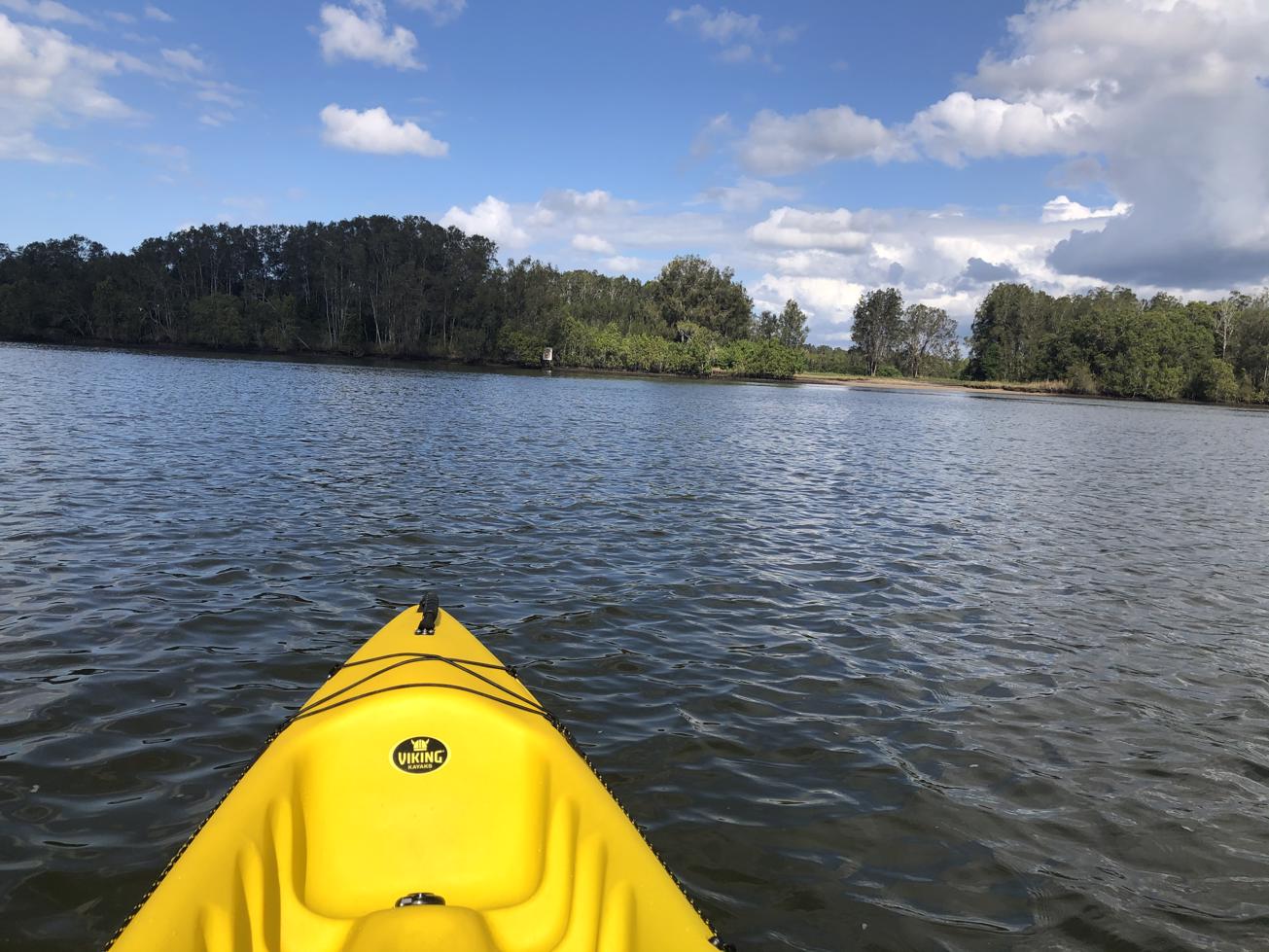
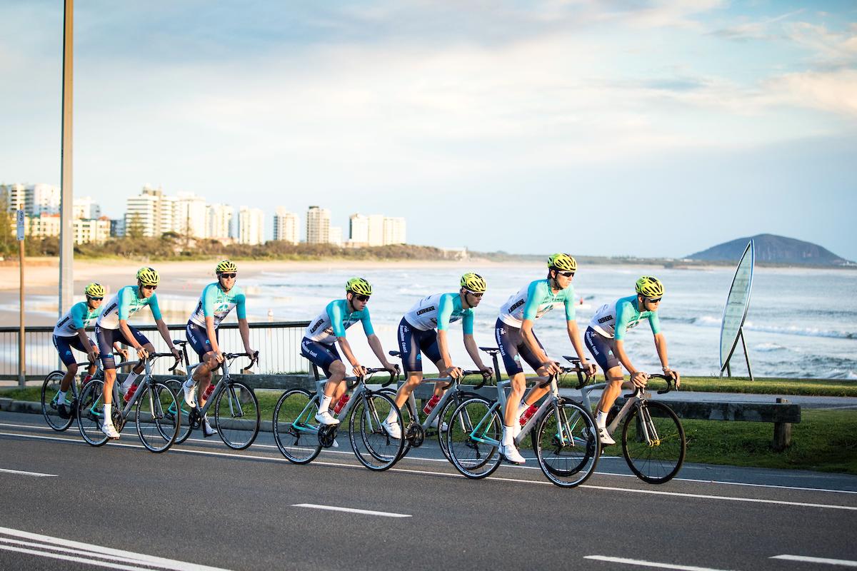
A 12km cycle that takes you over the David Low Way Bridge, past sugar cane fields, parks and the glorious Maroochy River.

SUITABILITY
Suitable for experienced bike riders only if committing to the full 12km loop as there is sections of busy road. Children can enjoy sections of the circuit near parks.
The loop can be walked but the Bli Bli – David Low Way road section from Godfreys Road/ John Lantry Park is exposed with only a bike lane until you reach the Bli Bli Bridge.

HIGHLIGHTS
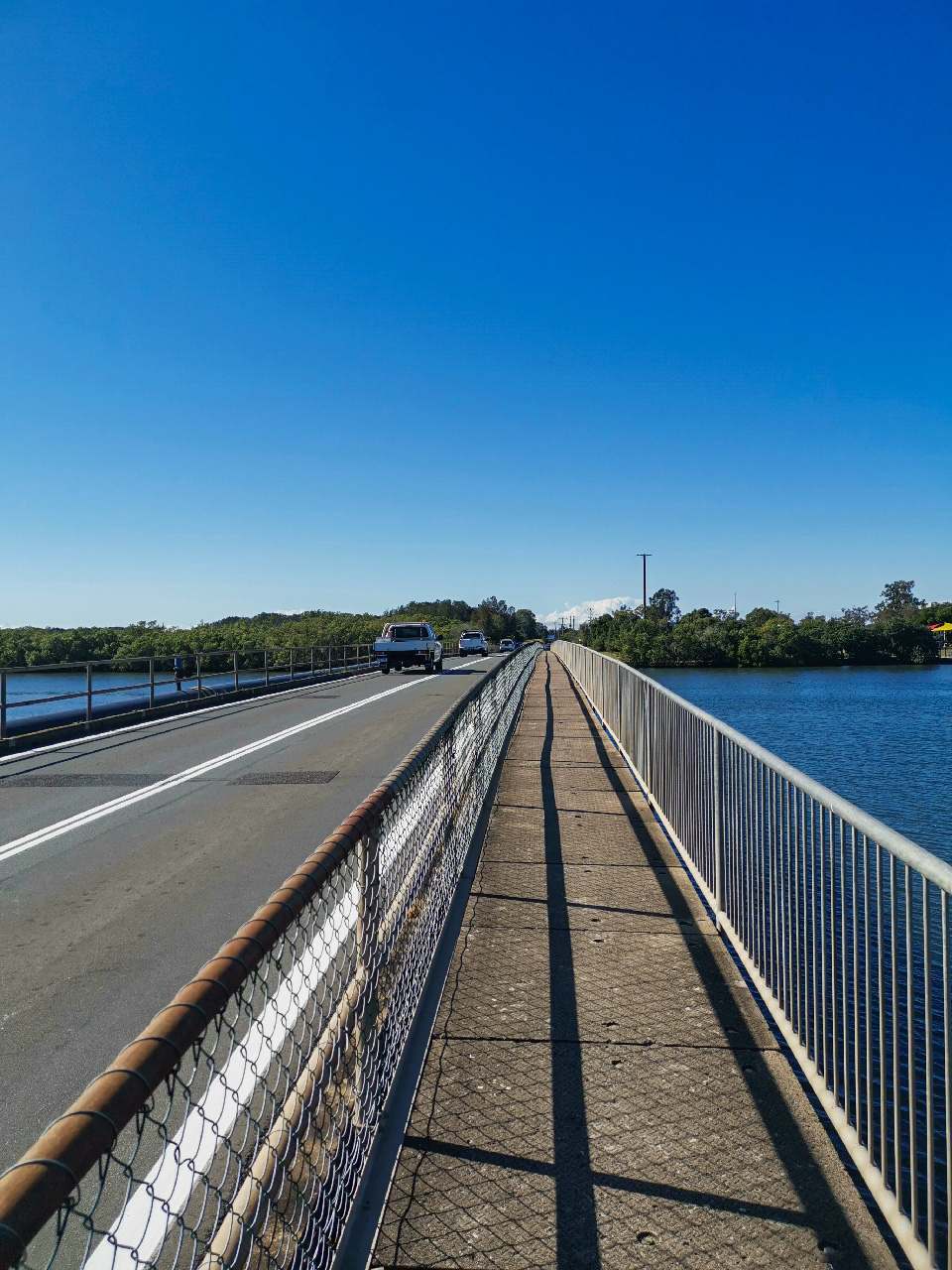
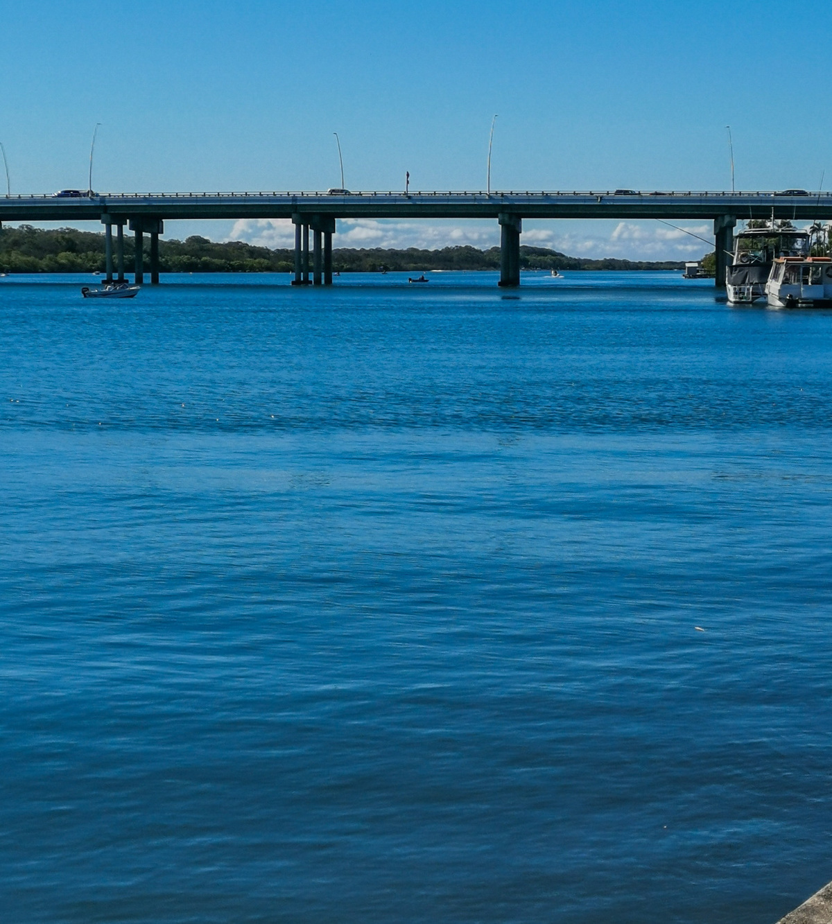
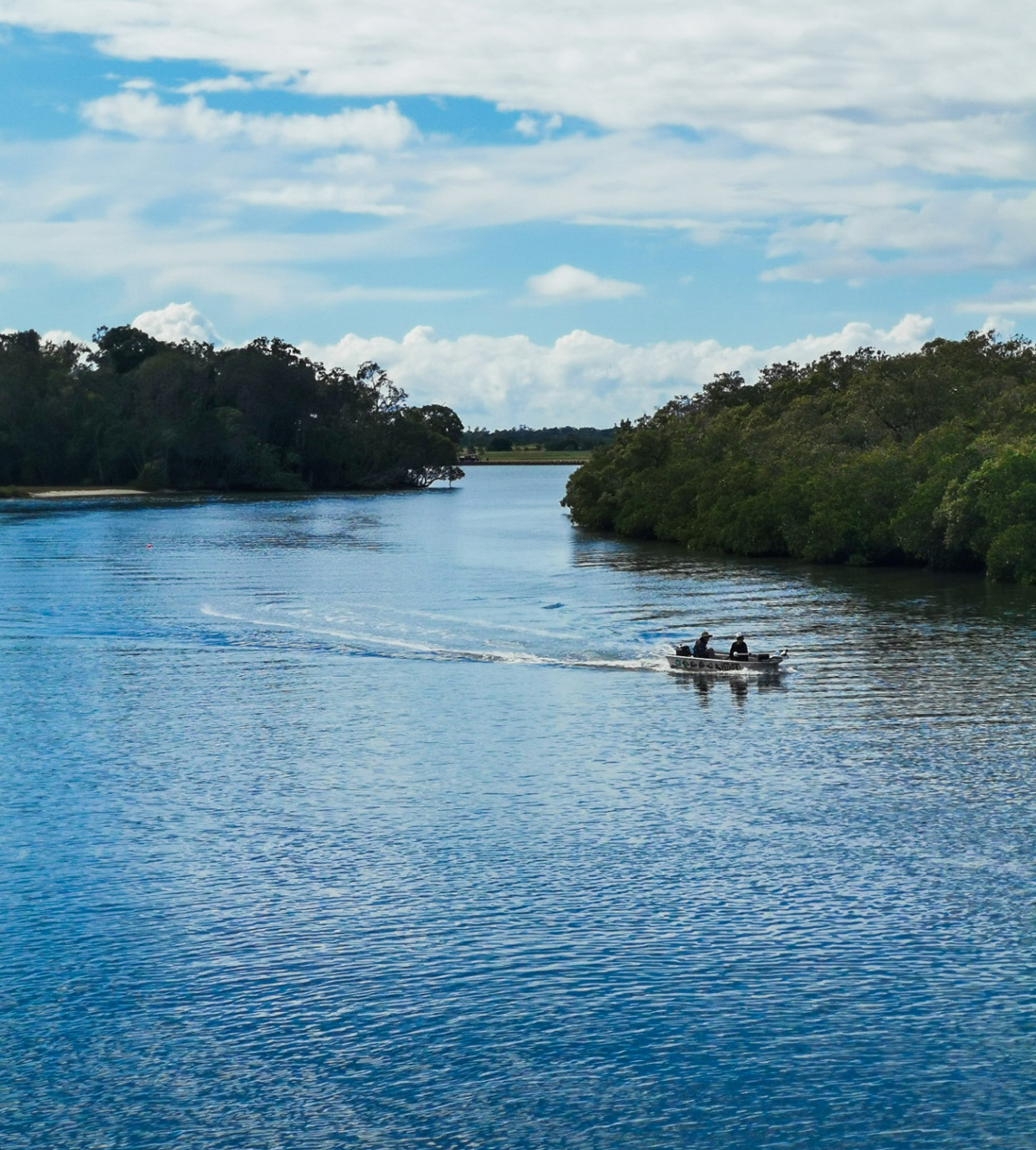
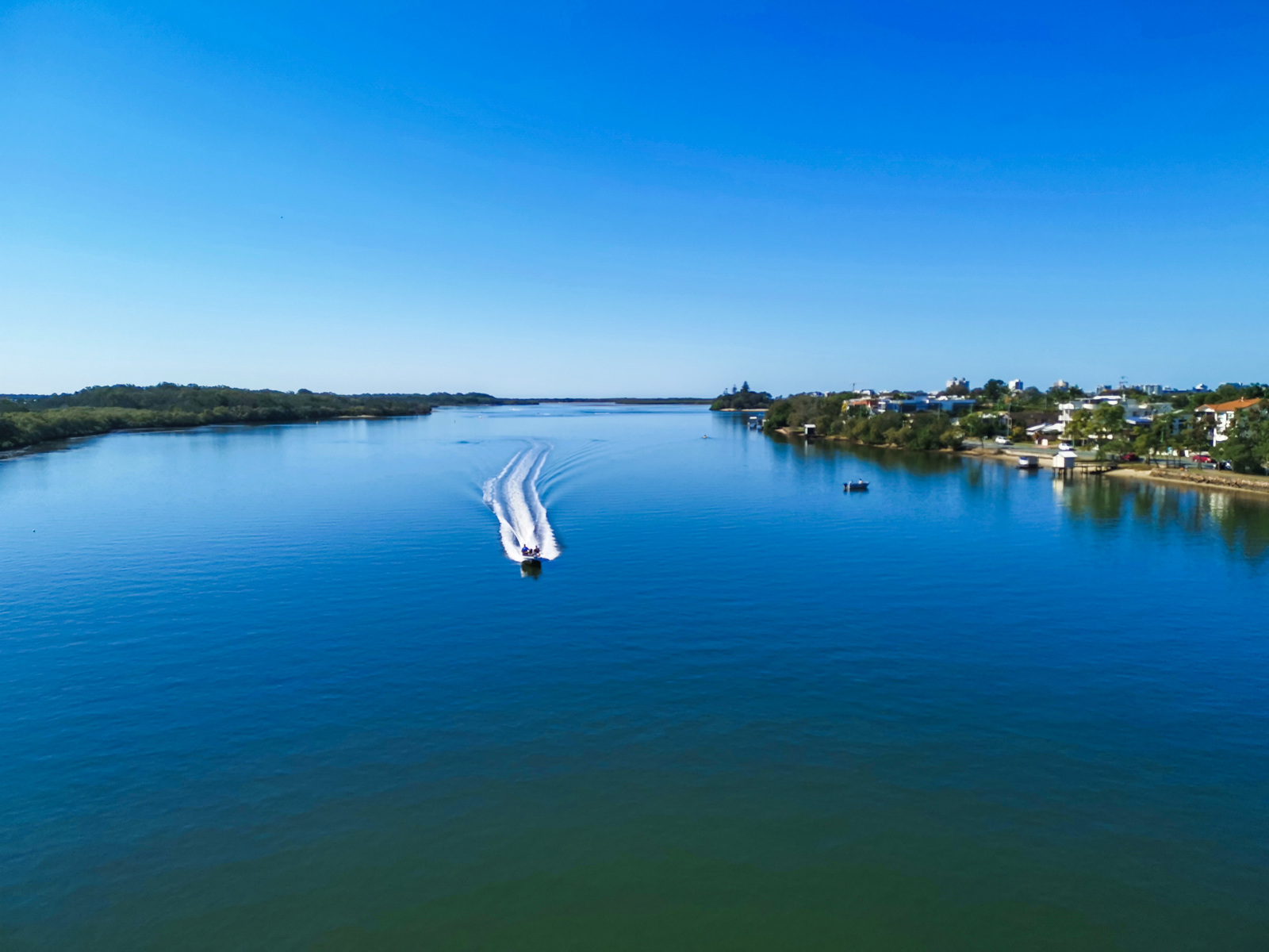
Nothing beats the broad, sweeping views of the Maroochy River from the motorway bridge – a definite stopping point for photos if you haven’t already snapped a few from along the river pathway leading to the bridge. A popular fishing spot called The Cod Hole is sure to have a few keen fishermen moored up just underneath.
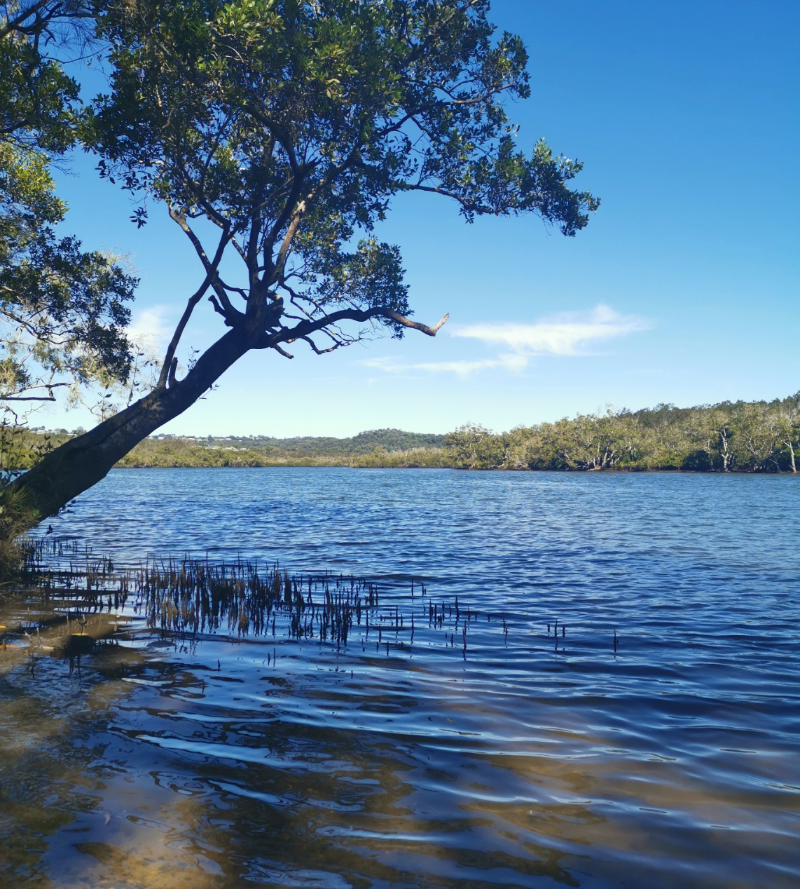
Once off the bridge take a sharp right-hand U turn and follow the road under the motorway bridge along Godfreys Road (Not Godfreys Ave). Exit this road left onto the David Low Way – Bli Bli road, past the cane fields until you reach Muller Park. This sprawling park area is perfect for a break or a stroll along the banks of the Maroochy River.
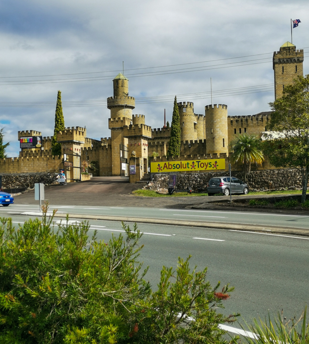
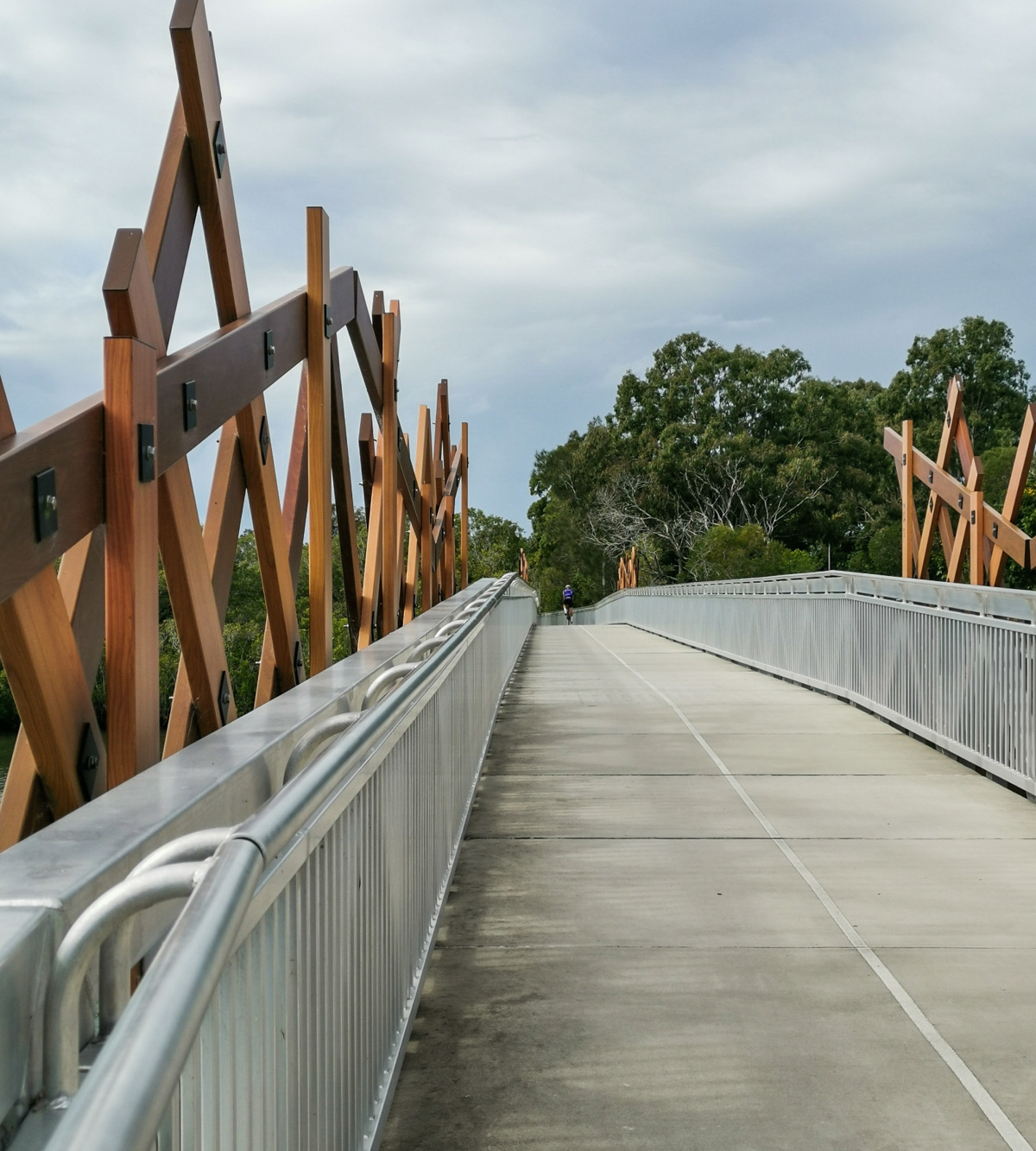
After crossing the Bli Bli Bridge you’ll pedal uphill towards the spectacular Bli Bli Castle then a downward slope leads you to the second of three bridges in this circuit. This homeward section takes you over the last but most architecturally impressive foot bridge to your starting point at Fishermans Road.

AFTERWARDS
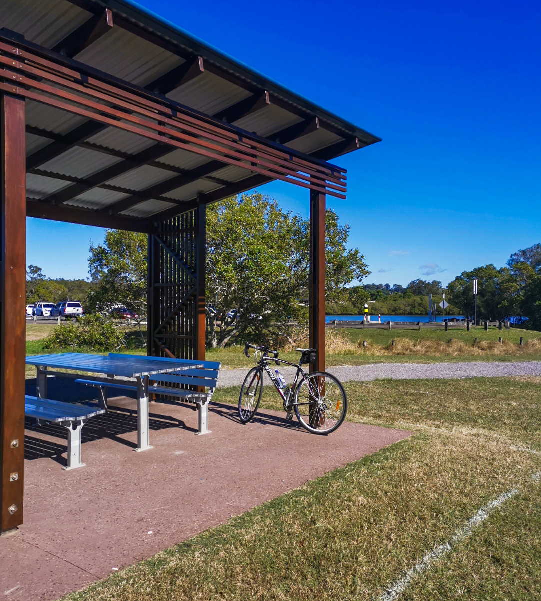
If completing the ride on a Sunday you can enjoy a stroll through Fishermans Market stalls. There’s an off-leash dog park at the start of the river pathway if you only want to stick to the south side of the river with BBQ facilities, water and toilets. These amenities are also available in the Fishermans Road parking area.

HOW TO GET THERE
To the starting point: Park at Fishermans Road and cross David Low Way at the lights and begin the circuit anti clockwise as this route keeps you on the river footpath and off the road. You’ll have to cross over David Low Way at the lights on Diura Street to access the pathway over the Motorway Bridge.

To the end point: As this is a circuit the end point is the same as the starting point.

glossary button
Glossary
  • Icon showing this activity is suitable for wheelchairsSuitable for wheelchairs
  • Icon showing this activity is suitable for walkingSuitable for walking
  • Icon showing this activity is suitable for recreational cyclingSuitable for recreational cycling
  • Icon showing this activity is suitable for mountain bikingSuitable for mountain biking
  • Icon showing this activity is suitable for horse ridingSuitable for horse riding
  • Icon showing this activity is suitable for kayakingSuitable for kayaking
  • Icon showing this activity has drinking water availableDrinking water available
  • Icon showing this activity does not have drinking water availableNo drinking water available
  • Icon showing this activity has a barbeque on siteBarbeque on site
  • Icon showing this activity has a picnic table on sitePicnic table on site
  • Icon showing this activity has toilets on siteToilets on site
  • Icon showing fires are permitted at this activityFires permitted
  • Icon showing fires are prohibited at this activityFires prohibited
  • Icon showing camping is permitted at this activityCamping permitted
  • Icon showing camping is prohibited at this activityCamping prohibited
  • Suitable for walking Suitable for walking black lines Suitable for walking
  • Suitable for mountain biking Suitable for mountain biking Suitable for mountain biking
  • Drinking water available Drinking water available Drinking water available
  • Picnic table on site Picnic table on site Picnic table on site
  • toilets on site toilets on site Toilets on site
  • Fires prohibited Fires prohibited Fires prohibited
  • Camping prohibited Camping prohibited Camping prohibited
Write a review

Be the first to review this trail.

hazard icon

IN AN EMERGENCY DIAL '000'.

Always Adventure Safely!

  • Always follow any local signage, it contains key information and conditions can change at any time.
  • Use the trails with consideration for your abilities, be prepared for the adventure ahead:
    • Be aware of the weather conditions, found here: http://www.bom.gov.au/qld/.
    • Always wear appropriate clothing, focus on good footwear.
    • Always bring more water than you think you will need.
    • Be Sun Safe!
    • Always let someone know where you are going that isn’t going with you.
  • Just getting started try this site for good useful information: https://www.trailhiking.com.au/hike-safety/
  • Sunshine Coast Council does it’s best to maintain current information but things can change so always be aware that a trail may not be as listed in this guide, and report and issues via our feedback link.

Sunshine Coast Council

For any issues with this experience please contact:

Sunshine Coast Council via 07 5475 7272 or via e-mail: adventure@sunshinecoast.qld.gov.au

Nearby Trails

Trail Image for Maroochy River Canoe Trail: Eudlo Creek Paddle
Easy

Maroochy River Canoe Trail: Eudlo Creek Paddle

Diddillibah
canoeing icon
Trail type
difficulty icon
Skill Level

6.0km

Length
direction icon
One-way
Trail Image for Maroochy River Canoe Trail: Muller Park Paddle
Intermediate

Maroochy River Canoe Trail: Muller Park Paddle

Bli Bli
canoeing icon
Trail type
difficulty icon
Skill Level

5.2km

Length
direction icon
One-way
Trail Image for Road Cycle Route: SCC Big Loop
Difficult

Road Cycle Route: SCC Big Loop

Alexandra Headland
walking icon cycling icon
Trail type
difficulty icon
Skill Level

180.6km

Length
direction icon
Circuit
Trail Image for Road Cycle Route: Mooloolaba to Coolum
Difficult

Road Cycle Route: Mooloolaba to Coolum

Alexandra Headland
walking icon cycling icon
Trail type
difficulty icon
Skill Level

51.6km

Length
direction icon
One-way
Trail Image for Road Cycle Route: Maroochydore Flat Road Loop
Difficult

Road Cycle Route: Maroochydore Flat Road Loop

Alexandra Headland
walking icon cycling icon
Trail type
difficulty icon
Skill Level

38.9km

Length
direction icon
Circuit

Share this trail

This action requires a login.
To continue, click on Login/Signup below.

Photo uploaded successfully, thank you.

Feedback / Suggest an Adventure

If you have any feedback on the site or any of the trails, please drop us a short email.

Have we missed something? Do you have an adventure to suggest? Fill in the suggestion form to let us know about it.