facebook
Image showing that the PDF download is in progress... PDF download in progress

Please wait...

Image showing a pink decorative paint splat
Image showing a green decorative paint splat
upload photo button
reviews buttonReviews view map buttonMap
view 3d map button3D Map
directions take me there buttonDirections
Save
PDF
Gpx File

Cooloolabin Dam: Day Use Short Walk

Cooloolabin Dam: Day Use Short Walk
Cooloolabin
walking icon walking icon black horse riding icon horse riding icon black
Trail type
difficulty icon
Skill Level
3.1km
Length
direction icon direction icon black
Circuit

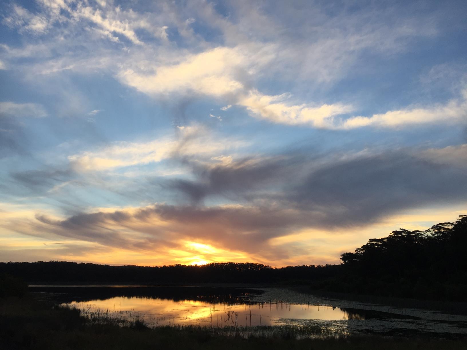
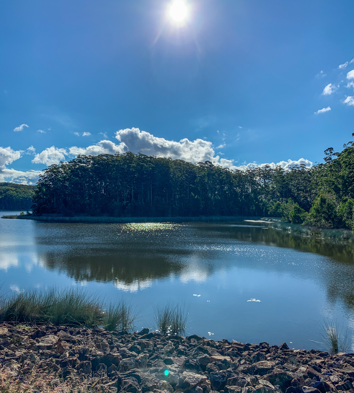
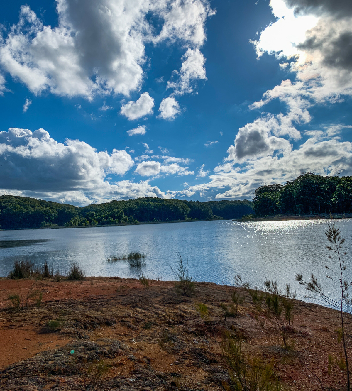
A relaxing stroll around a quite hinterland lake.

SUITABILITY
Suitable for walkers, recreational cyclists, mountain bikers and horse riders. (Refer to horse float suggestion in Afterwards.)

HIGHLIGHTS
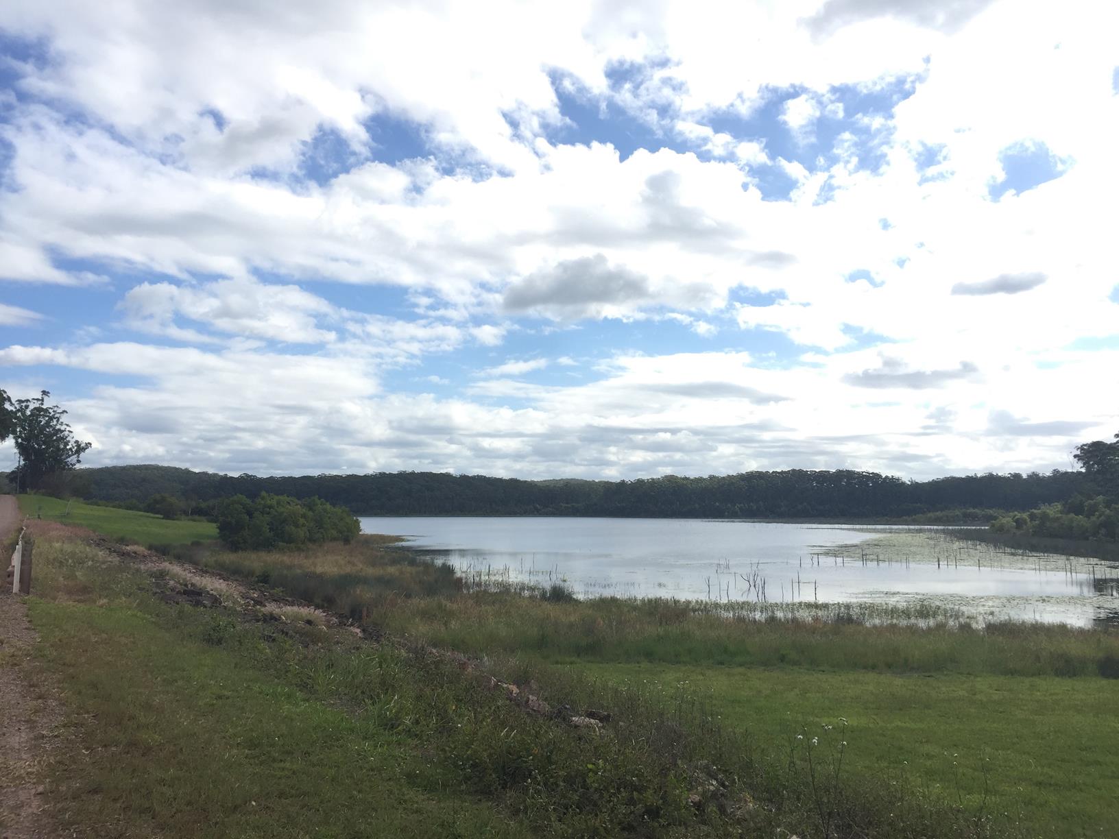
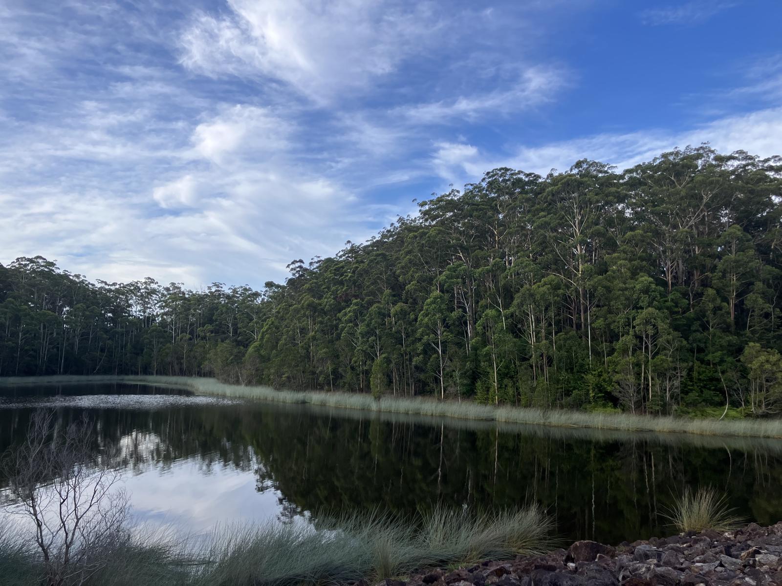
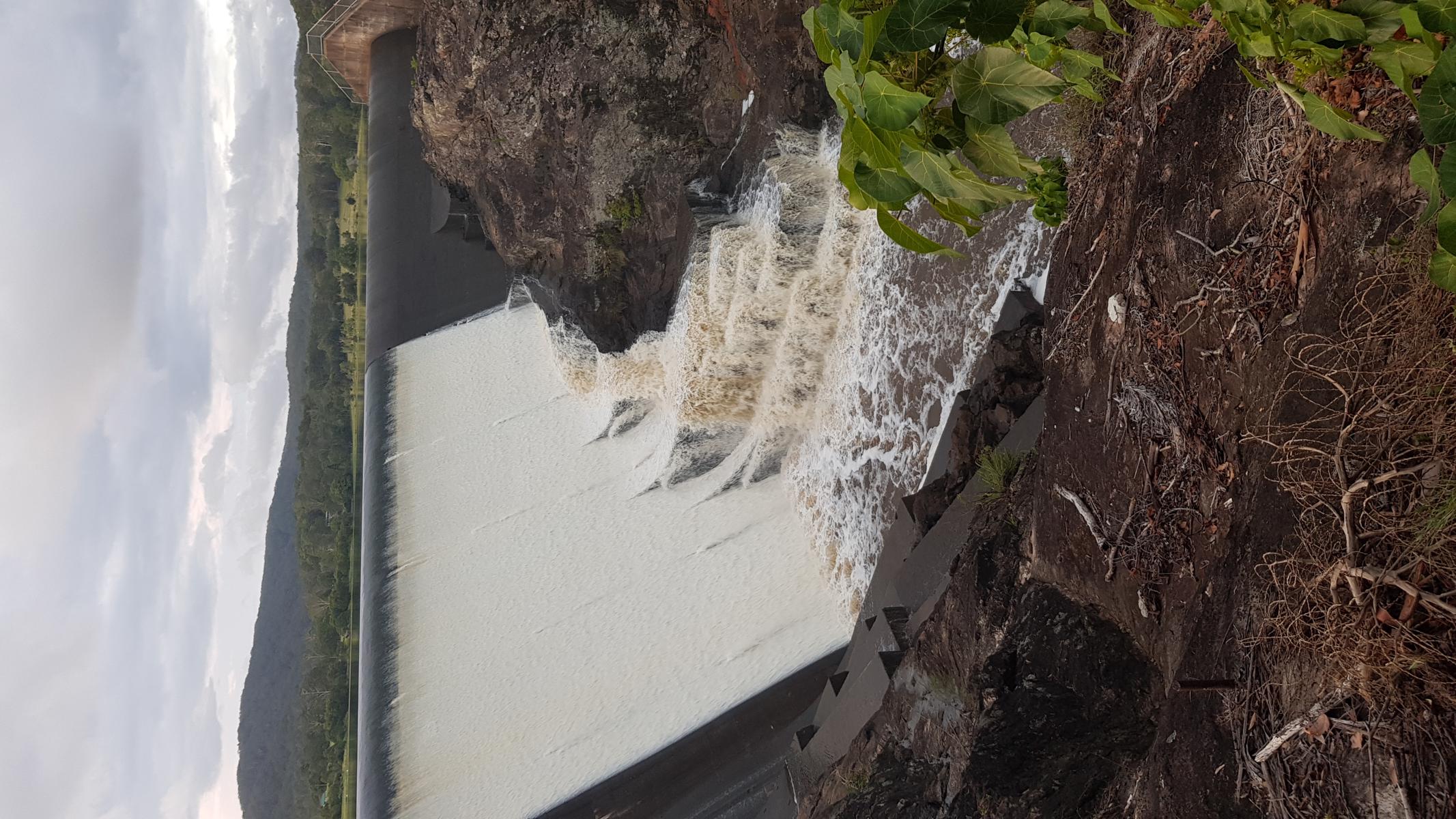
Cooloolabin Dam, built in 1979, offers a picturesque short trail around the peninsula close to the recreation area.
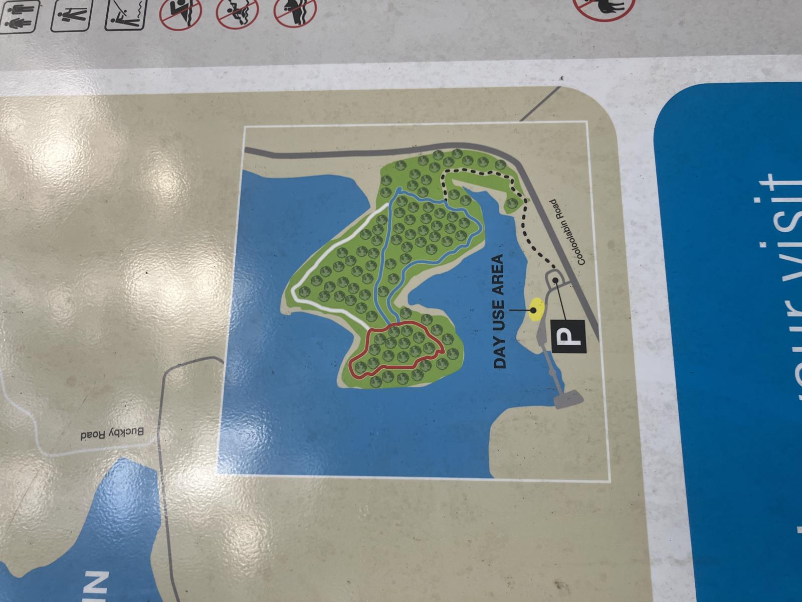
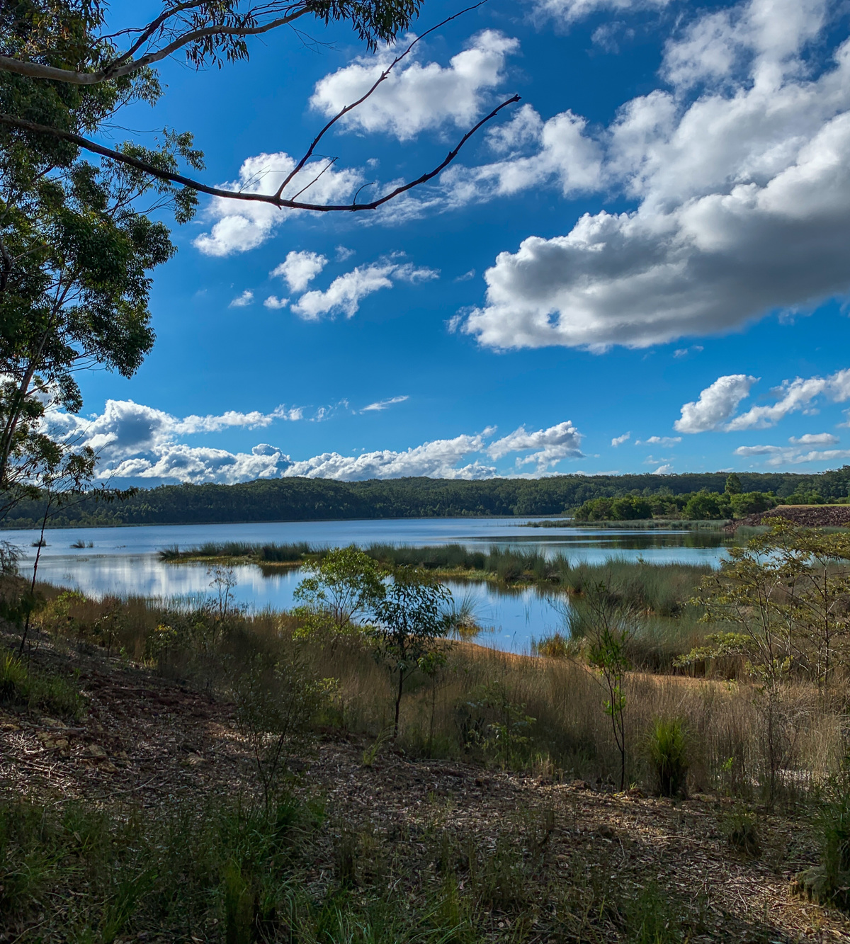
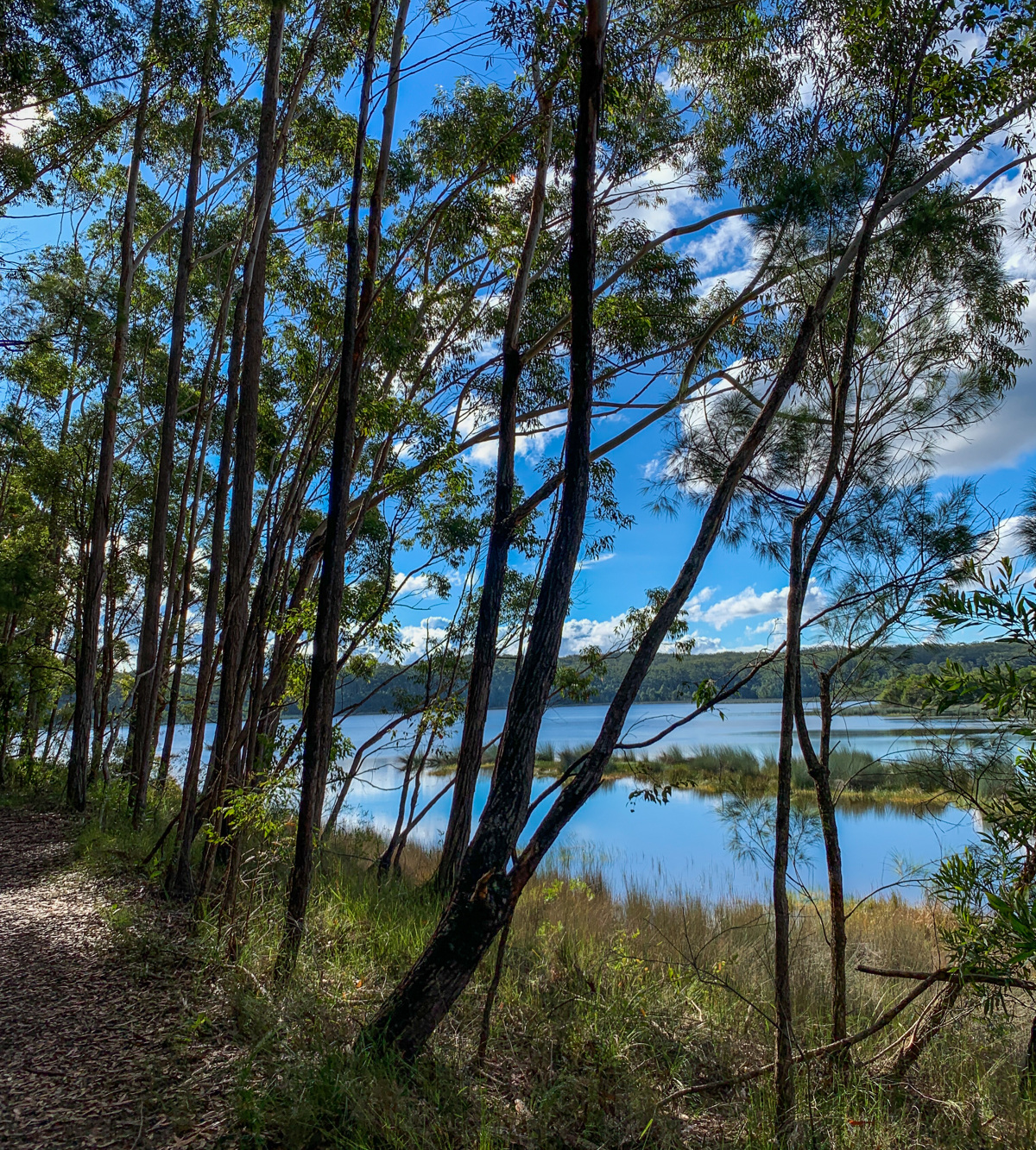
The walk begins in the recreation area with a green signpost marking the start point. The flat trail that winds through the bushland is great for littlies, or as a relaxing stroll lakeside, with beautiful openings onto the dam (follow the outside path the whole way). Keep an eye out for birds both in the bush and on the dam!
You can fish from the shoreline (no permit required), just note the lake itself is off limits.
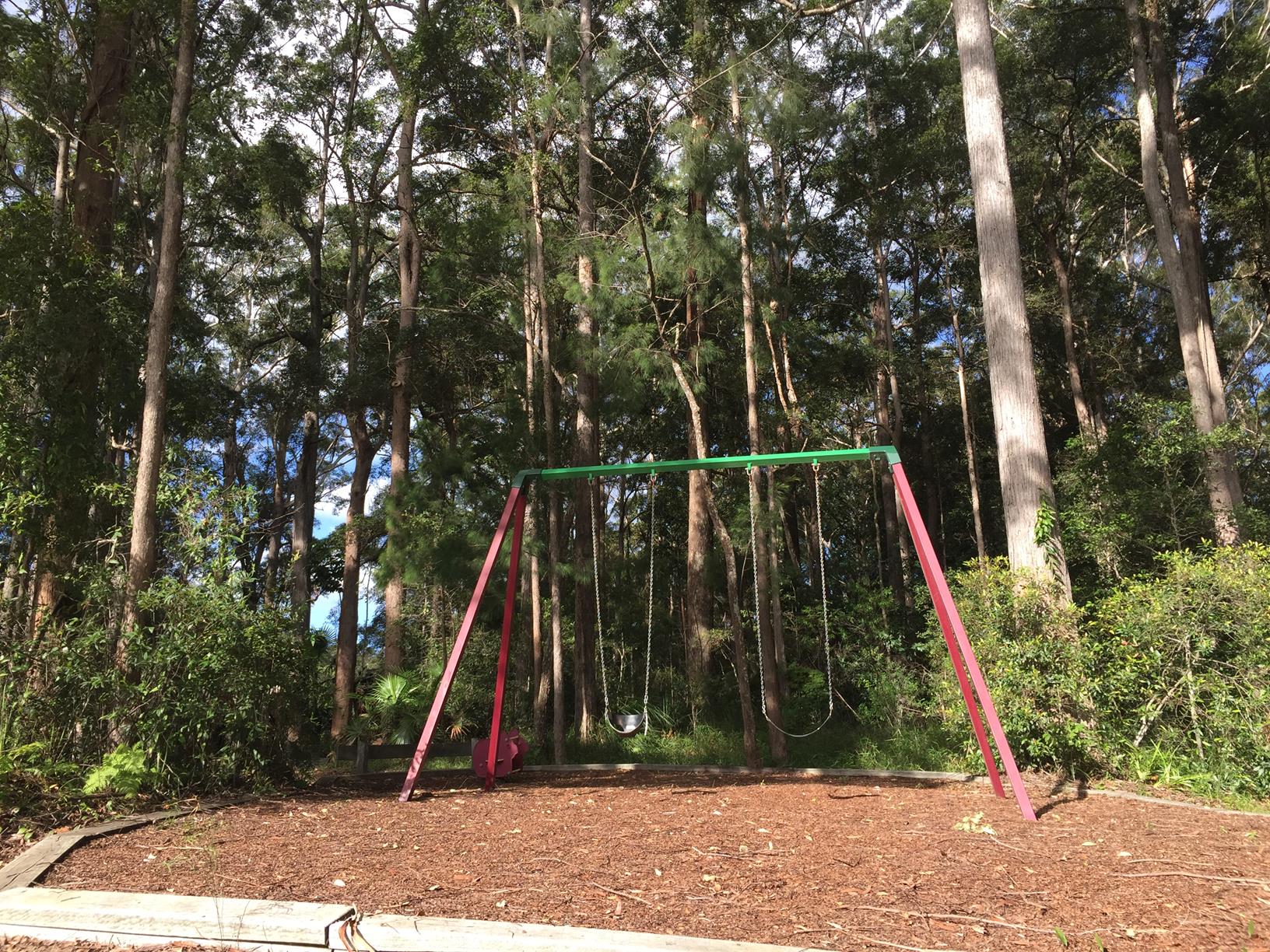
The day use area has ample parking, a little playground, picnic table and amenities.

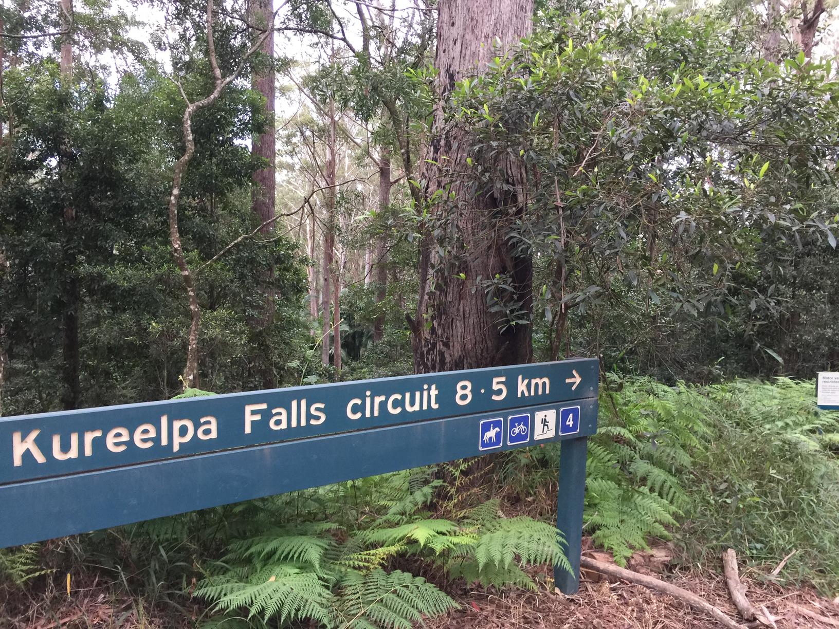
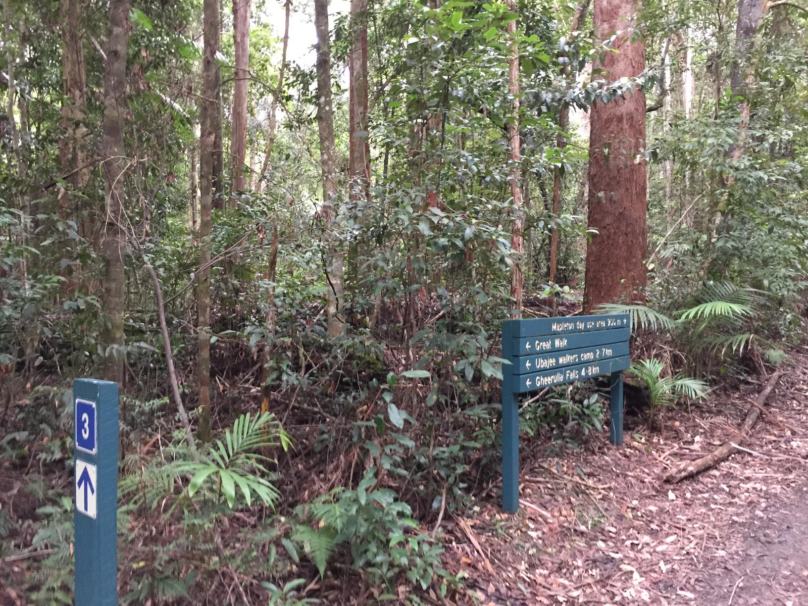
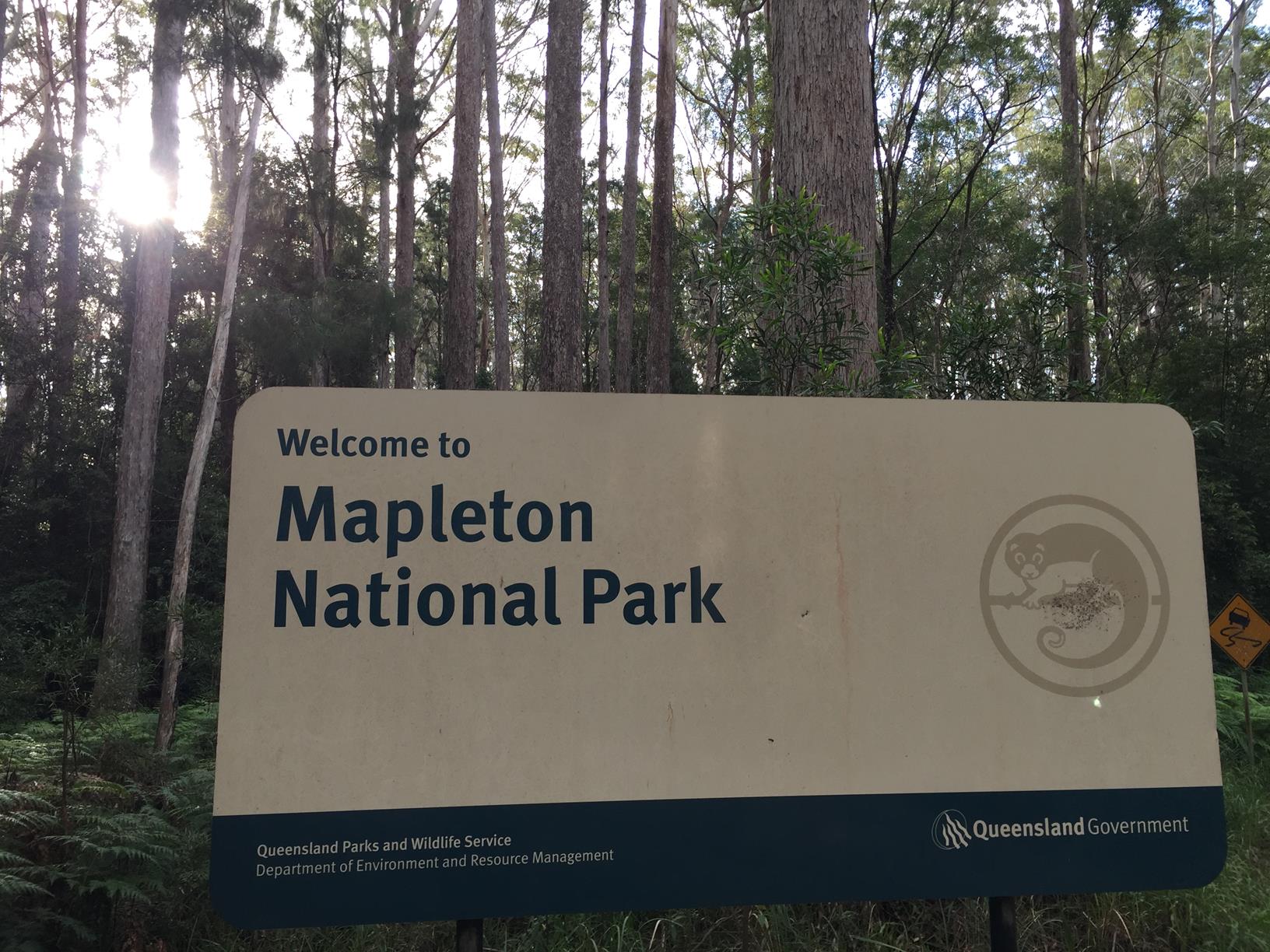
The area also serves as the head of a trail through the adjacent Mapleton National Park. The trail uses local roads and the fire-trail network for mountain biking, horse riding and walking.

AFTERWARDS
Take a short drive to Jack Harrison Park at Wappa Dam. The park is filled with endless green open space, picnic tables, playground, amenities, large parking areas and lawns which stretch right down to the dam – perfect for lounging and soaking up the sun. From the park, follow a short walk through the bush to Wappa Falls. Whilst this is a popular swimming hole, we urge caution in the water and accessing the pool as the rocks can be slippery.
Alternatively, you can park at the falls (limited), which is only a very short walk from the car park.

Mountain bikers: It is possible to walk or mountain bike the whole way around the lake, and down the mountain on fire trails if you want some serious saddletime!

Horse riders can enjoy a longer ride by continuing on Cooloolabin Road towards Yandina, turning left into Buckby Road and then taking a track on the right about 1 km along which goes through Mapleton National Park coming out on Cooloolabin Road or Browns Creek Road.

There are several exits but most riders typically use the float parking area located on the right hand side just as you come across Mapleton National Park, 2 km from Browns Creek Road. Most riders prefer to ride from here to the Day Use area and return.

HOW TO GET THERE
To the starting point: Take the Yandina exit off the M1 and head west through the first round about. At the second roundabout turn left into Fleming Street. At the traffic lights, cross over Farrell Street and you are on Old Gympie Road, follow this to Cooloolabin Road. Keep driving along Cooloolabin Road until you see Cooloolabin Dam day parking/picnic area on your right. It’s about 10.5km from Yandina

To the end point: The end point is the same as the starting point as it’s a small mostly circular route.

glossary button
Glossary
  • Icon showing this activity is suitable for wheelchairsSuitable for wheelchairs
  • Icon showing this activity is suitable for walkingSuitable for walking
  • Icon showing this activity is suitable for recreational cyclingSuitable for recreational cycling
  • Icon showing this activity is suitable for mountain bikingSuitable for mountain biking
  • Icon showing this activity is suitable for horse ridingSuitable for horse riding
  • Icon showing this activity is suitable for kayakingSuitable for kayaking
  • Icon showing this activity has drinking water availableDrinking water available
  • Icon showing this activity does not have drinking water availableNo drinking water available
  • Icon showing this activity has a barbeque on siteBarbeque on site
  • Icon showing this activity has a picnic table on sitePicnic table on site
  • Icon showing this activity has toilets on siteToilets on site
  • Icon showing fires are permitted at this activityFires permitted
  • Icon showing fires are prohibited at this activityFires prohibited
  • Icon showing camping is permitted at this activityCamping permitted
  • Icon showing camping is prohibited at this activityCamping prohibited
  • Suitable for walking Suitable for walking black lines Suitable for walking
  • Suitable for horse riding Suitable for horse riding Suitable for horse riding
  • No drinking water available No drinking water available No drinking water available
  • Picnic table on site Picnic table on site Picnic table on site
  • toilets on site toilets on site Toilets on site
  • Fires prohibited Fires prohibited Fires prohibited
  • Camping prohibited Camping prohibited Camping prohibited
Write a review

Review Date: 27/11/2018

This trail is a delightful walk by Cooloolabin Dam. Perfect for all ages and athletic abilities.

Reviewed By: Brooke

hazard icon

IN AN EMERGENCY DIAL '000'.

Always Adventure Safely!

  • Always follow any local signage, it contains key information and conditions can change at any time.
  • Use the trails with consideration for your abilities, be prepared for the adventure ahead:
    • Be aware of the weather conditions, found here: http://www.bom.gov.au/qld/.
    • Always wear appropriate clothing, focus on good footwear.
    • Always bring more water than you think you will need.
    • Be Sun Safe!
    • Always let someone know where you are going that isn’t going with you.
  • Just getting started try this site for good useful information: https://www.trailhiking.com.au/hike-safety/
  • Sunshine Coast Council does it’s best to maintain current information but things can change so always be aware that a trail may not be as listed in this guide, and report and issues via our feedback link.

SEQ Water

For any issues with the trail please contact:

SEQ Water via 07 3035 5500 or communications@seqwater.com.au

If you think something on the web site needs to change please let us know via: adventure@sunshinecoast.qld.gov.au

Nearby Trails

Trail Image for Mapleton National Park: Bonyee Walk
Easy

Mapleton National Park: Bonyee Walk

Gheerulla
walking icon
Trail type
difficulty icon
Skill Level

0.5km

Length
direction icon
Circuit
Trail Image for Mapleton National Park: Kureelpa Falls Circuit
Difficult

Mapleton National Park: Kureelpa Falls Circuit

Mapelton
walking icon mountain biking icon horse riding icon
Trail type
difficulty icon
Skill Level

8.7km

Length
direction icon
Circuit
Trail Image for Wappa Dam and Falls
Difficult

Wappa Dam and Falls

Kiamba
walking icon
Trail type
difficulty icon
Skill Level

1.1km

Length
direction icon
One-way
Trail Image for Mapleton National Park: Piccabeen Circuit
Difficult

Mapleton National Park: Piccabeen Circuit

Gheerulla
walking icon mountain biking icon horse riding icon
Trail type
difficulty icon
Skill Level

7.6km

Length
direction icon
Circuit
Trail Image for Mapleton National Park: Pilularis Forest Walk
Intermediate

Mapleton National Park: Pilularis Forest Walk

Mapelton
walking icon
Trail type
difficulty icon
Skill Level

0.5km

Length
direction icon
Circuit

Share this trail

This action requires a login.
To continue, click on Login/Signup below.

Photo uploaded successfully, thank you.

Feedback / Suggest an Adventure

If you have any feedback on the site or any of the trails, please drop us a short email.

Have we missed something? Do you have an adventure to suggest? Fill in the suggestion form to let us know about it.