facebook
Image showing that the PDF download is in progress... PDF download in progress

Please wait...

Image showing a pink decorative paint splat
Image showing a green decorative paint splat
upload photo button
reviews buttonReviews view map buttonMap
view 3d map button3D Map
directions take me there buttonDirections
Save
PDF
Gpx File

Mill Point, Elanda Point Walk

Mill Point, Elanda Point Walk
COMO
walking icon walking icon black
Trail type
difficulty icon
Skill Level
2.3km
One-way Length
direction icon direction icon black
One-way

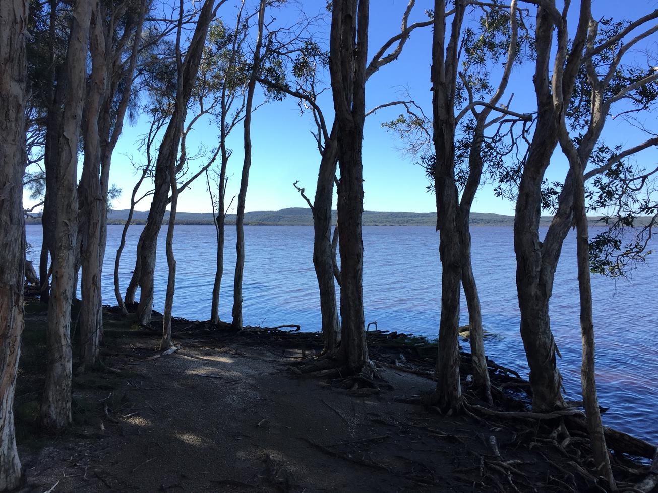
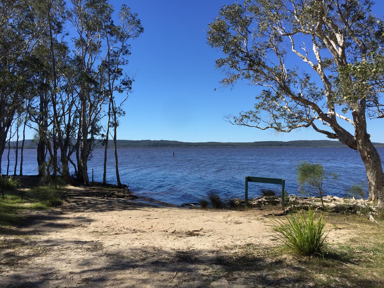
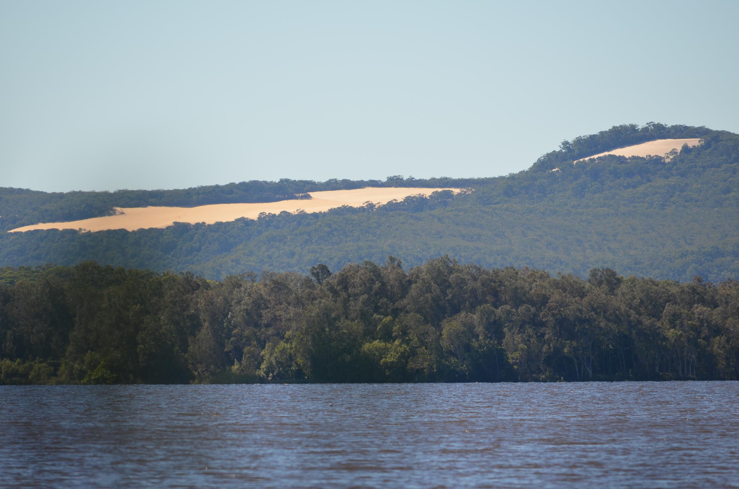
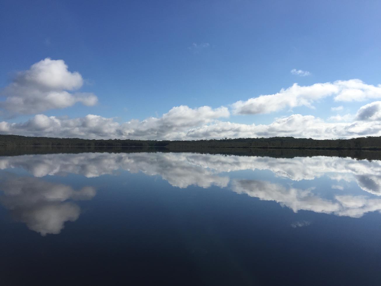
This heritage listed historical site encompasses the early settlers sawmill and small township, believed to be home to over 100 people at its peak in the 1800’s. Explore the shoreline, historic sites and bushlands bordering the scenic waterways of the upper Noosa River and Lake Cootharaba

SUITABILITY
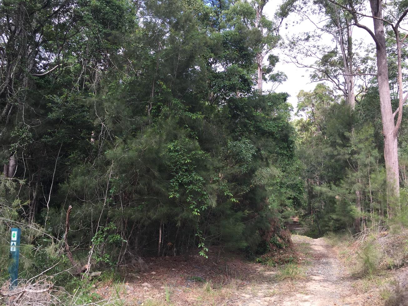
Suitable for walkers with a variety of walks are on offer, mostly flat, just different lengths.

HIGHLIGHTS
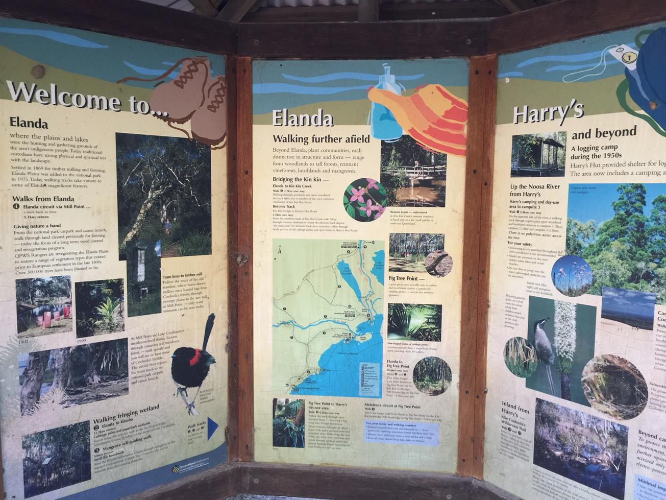
In this area, tracks range from a 5.1 km return circuit via the historic Mills Point, to walks up to 12km to Fig Tree Point and Harry’s Hut adjacent to the
Noosa River system.

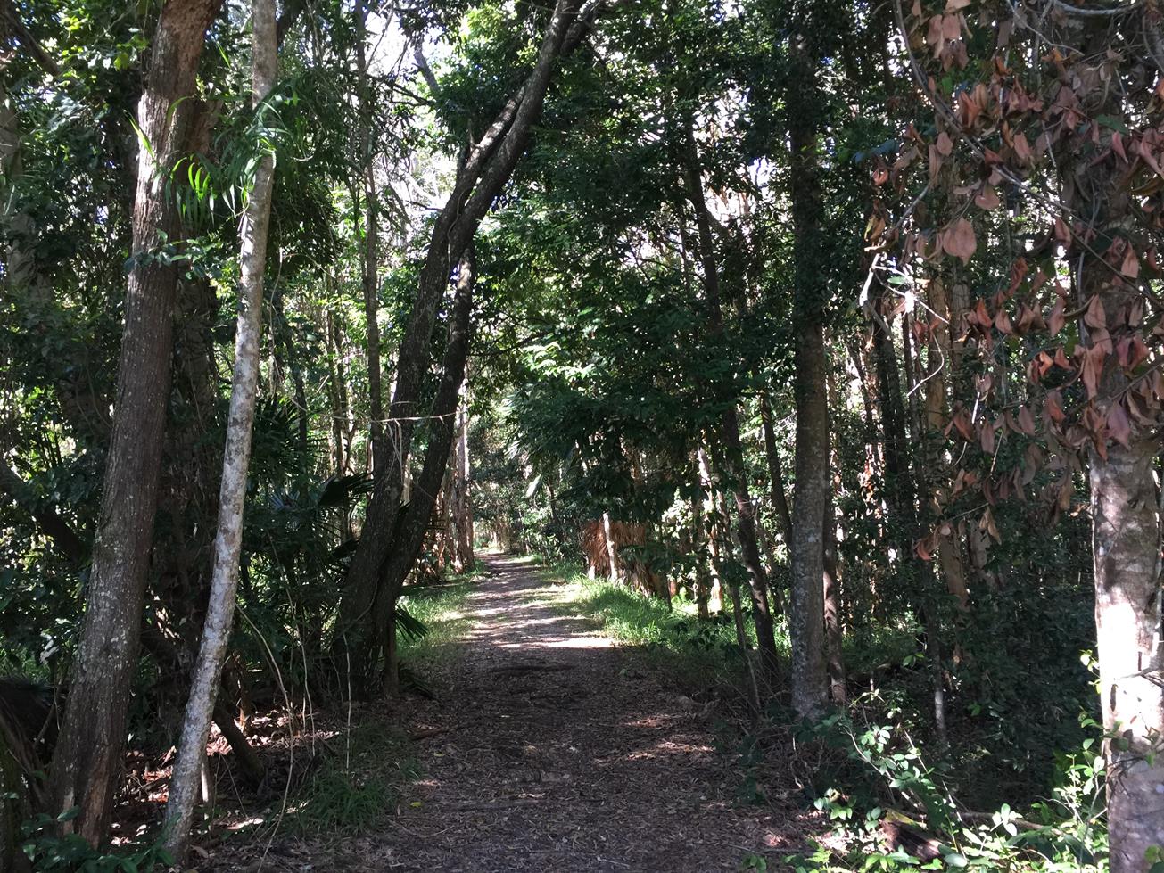
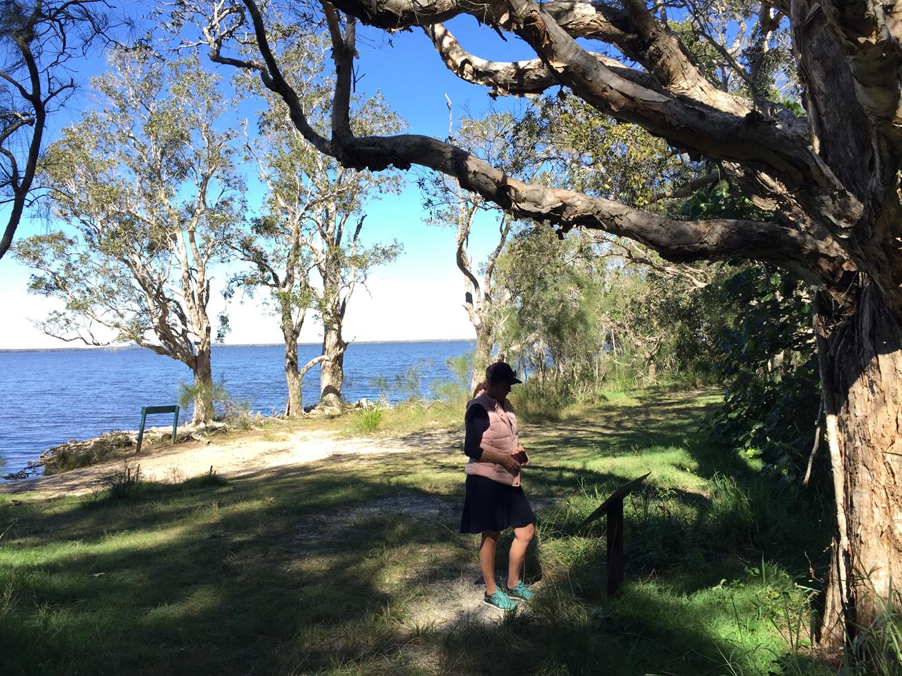
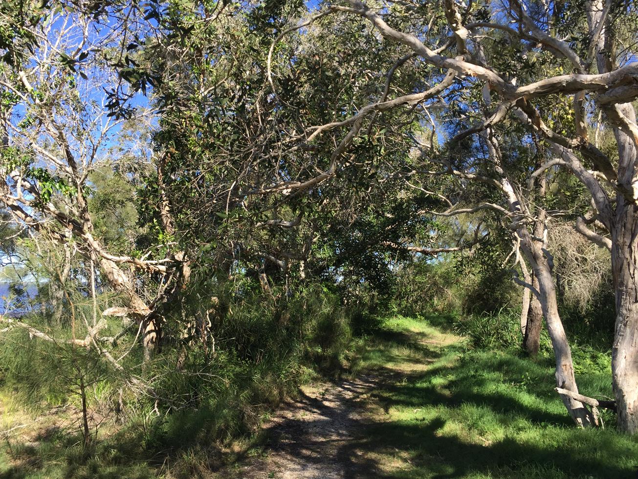
For a taste of this area there is a little flat loop from the public carpark through re-vegetated forestry land, past a pretty pond where you may see waterbirds. The Mill Point cemetery memorial stone is not too far further along but be aware there are nearly no remnants to see on this loop, and it can be boggy at times. It’s a good idea to take bug spray with you to ward off mossies.

Mill Point proper is better accessed from the new Elanda Point bar and bistro called Cootharabar.

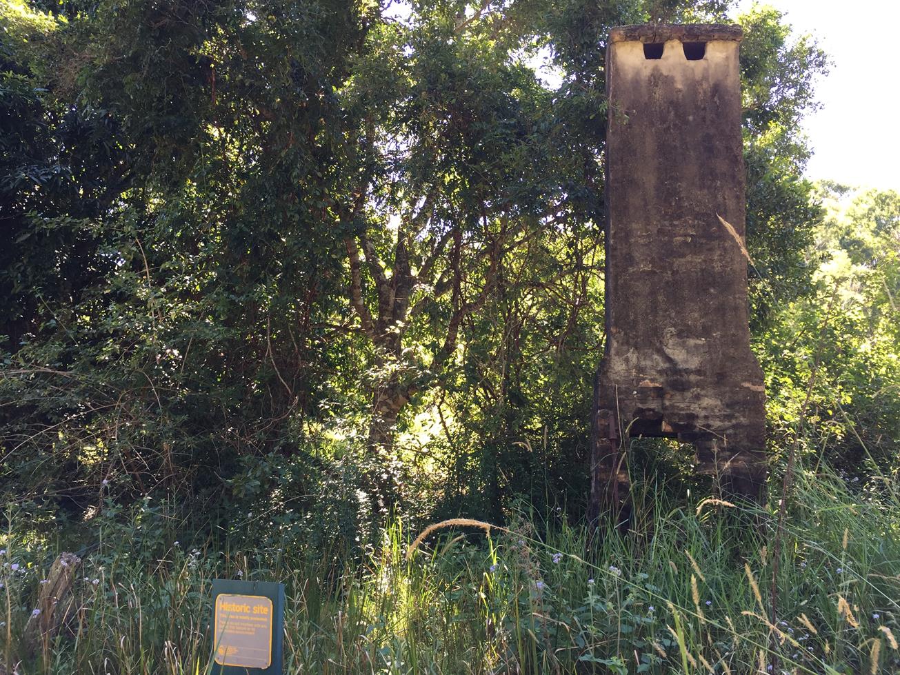
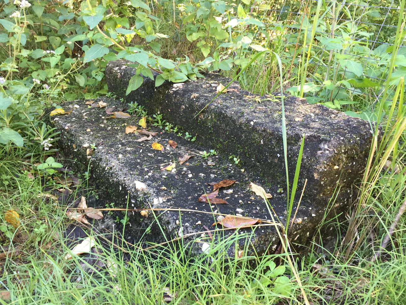
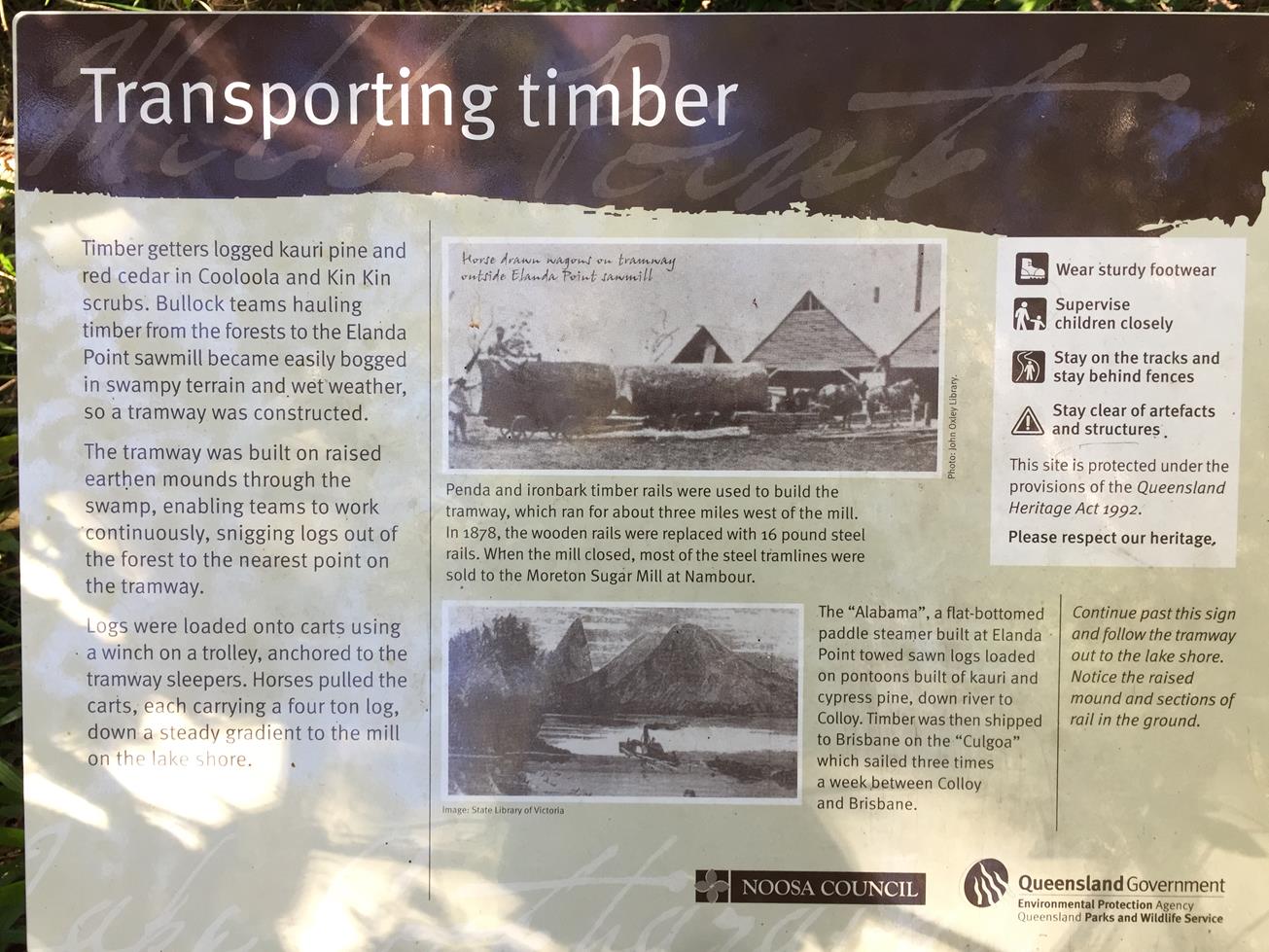
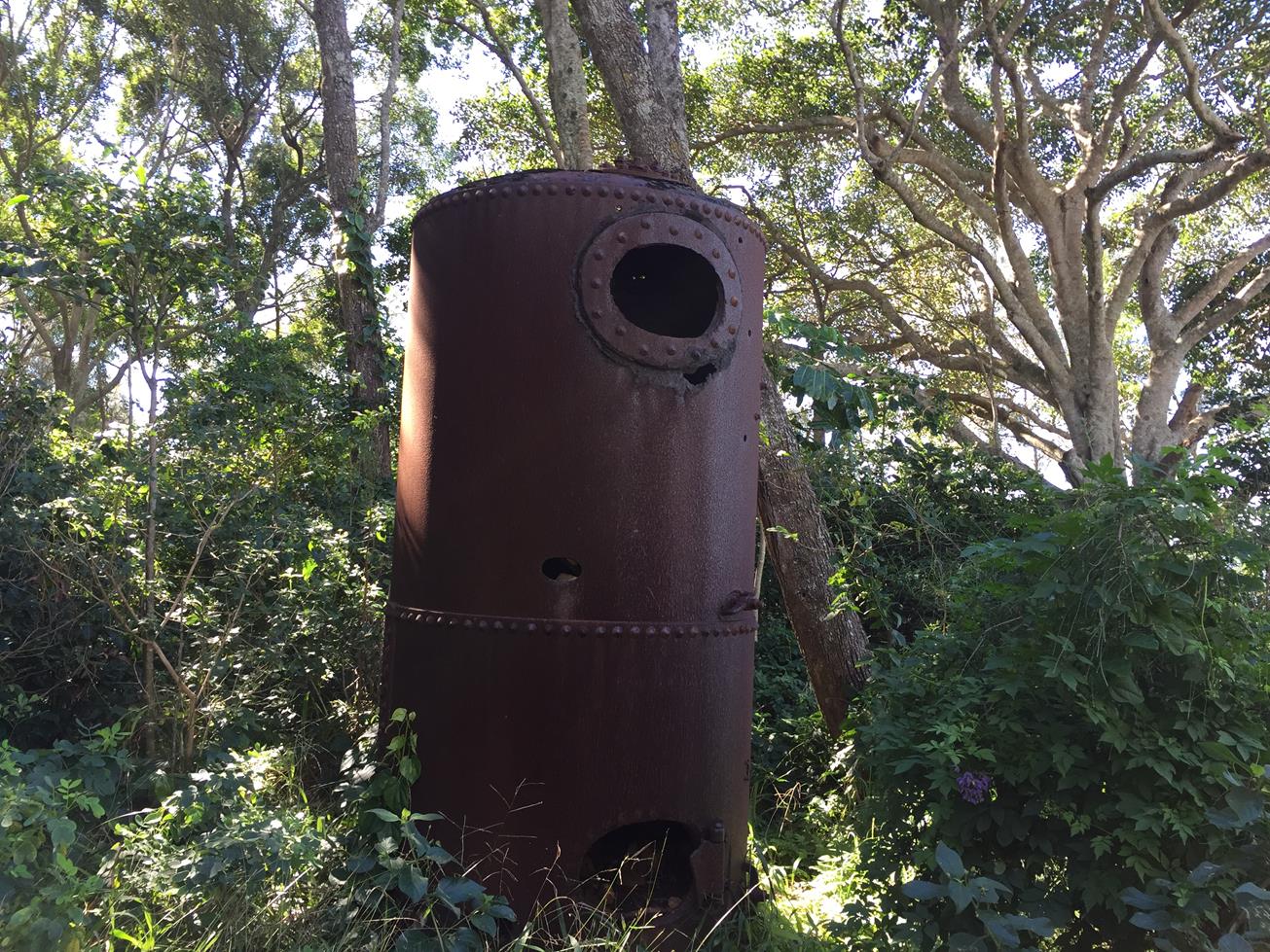
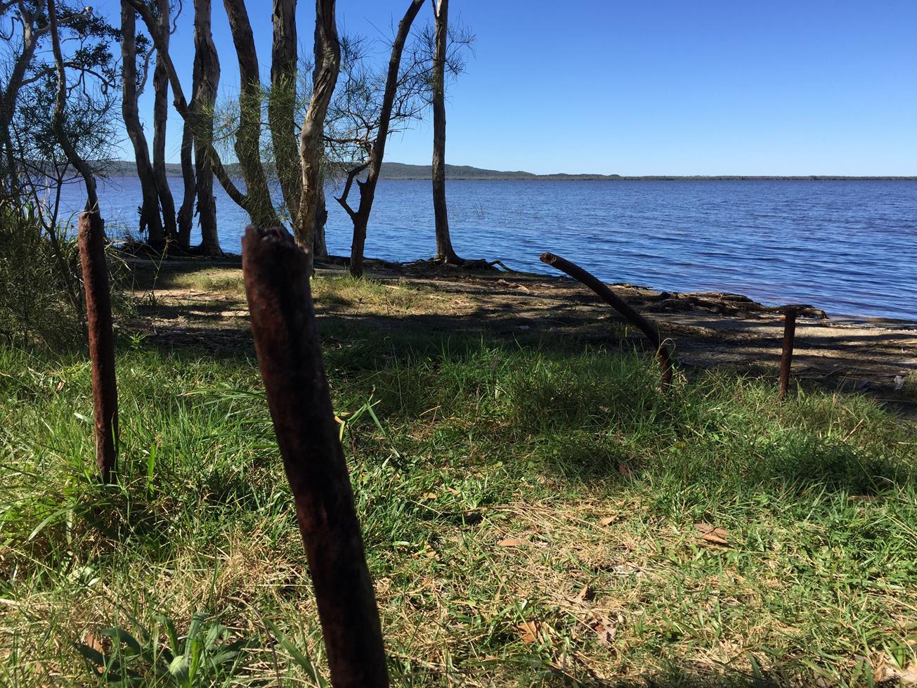
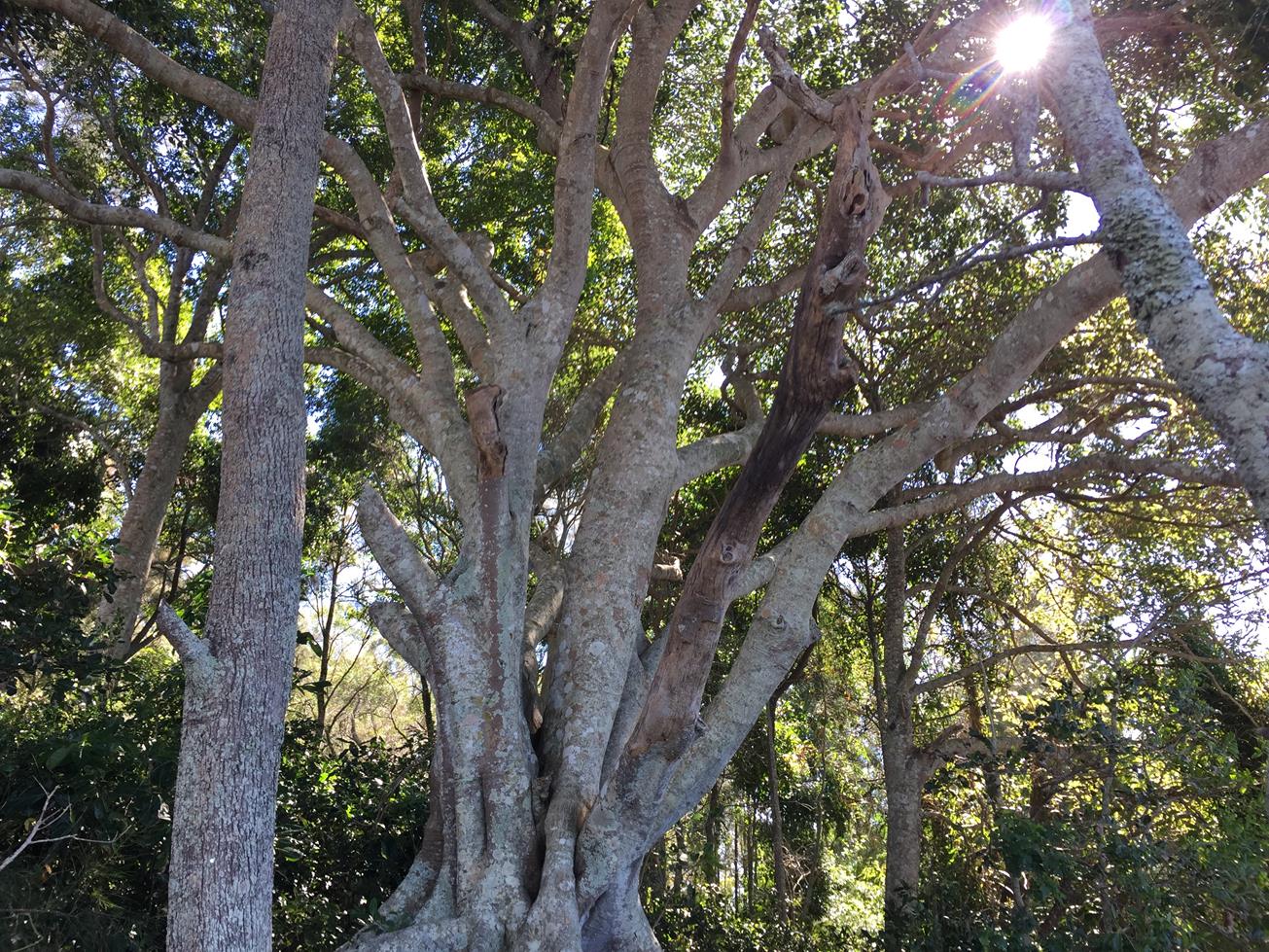
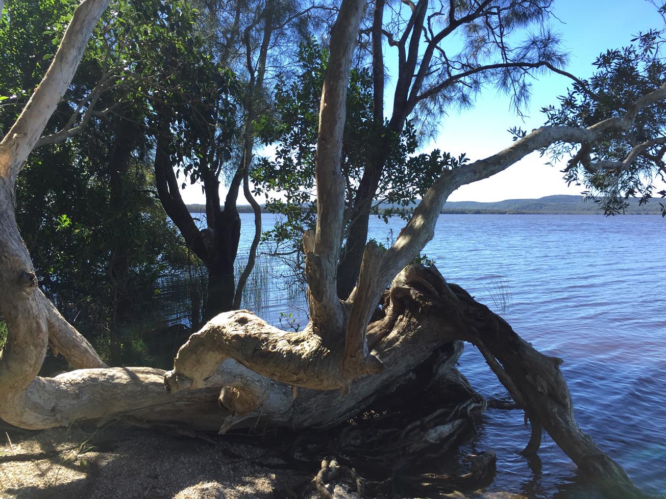
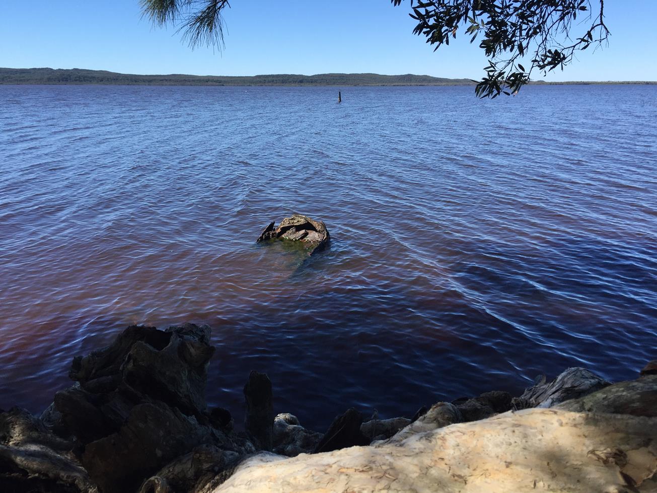
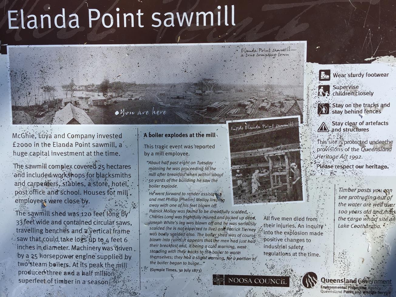
Mill point is a heritage-listed site that encompasses the early settlers sawmill and small township, believed to be home to over 100 people at its peak in the 1800s. Interpretive plaques and ruins reveal the hardships suffered by these early settlers. There’s an old chimney by a big mango tree, the lid of a well, some tankstands and an old boiler by the beach and tram lines into the lake. You’ll also see a fascinating fig tree whose roots rise from more ruins.

AFTERWARDS
From Mill Point you can continue on the Kinaba Walk to the Kinaba Visitor Centre walk. (From Elanda Point this is 12.2km return, so plan before hand.)
Alternatively head back to Cootharabar for refreshments at this boutique brewery and restaurant. Facilities there include a canoe launch, a children’s high ropes course, camping huts, toilets and showers. Or you can jump in the car and head back to Boreen Point township where there is the famous Apollonian Hotel.

HOW TO GET THERE
To the starting point: Take Louis Bazzo Drive to Boreen Point and instead of driving into the Township drive straight ahead onto Lake Flat Rd. When the road does a 90 degree turn to the left go straight ahead along a dirt road to Elanda Point.

On the right hand side there is a public car park where most of the walks starts of you can continue on a little further Habitat Noosa’s Everglades ecocamp and Cootharabar restaurant and start there.

To the end point: For shorter walks, the end point is the same as your starting point. For longer walks you can choose to make them one way and do a car shuttle.

glossary button
Glossary
  • Icon showing this activity is suitable for wheelchairsSuitable for wheelchairs
  • Icon showing this activity is suitable for walkingSuitable for walking
  • Icon showing this activity is suitable for recreational cyclingSuitable for recreational cycling
  • Icon showing this activity is suitable for mountain bikingSuitable for mountain biking
  • Icon showing this activity is suitable for horse ridingSuitable for horse riding
  • Icon showing this activity is suitable for kayakingSuitable for kayaking
  • Icon showing this activity has drinking water availableDrinking water available
  • Icon showing this activity does not have drinking water availableNo drinking water available
  • Icon showing this activity has a barbeque on siteBarbeque on site
  • Icon showing this activity has a picnic table on sitePicnic table on site
  • Icon showing this activity has toilets on siteToilets on site
  • Icon showing fires are permitted at this activityFires permitted
  • Icon showing fires are prohibited at this activityFires prohibited
  • Icon showing camping is permitted at this activityCamping permitted
  • Icon showing camping is prohibited at this activityCamping prohibited
  • Suitable for walking Suitable for walking black lines Suitable for walking
  • Drinking water available Drinking water available Drinking water available
  • Picnic table on site Picnic table on site Picnic table on site
  • toilets on site toilets on site Toilets on site
  • Fires prohibited Fires prohibited Fires prohibited
  • Camping permitted Camping permitted Camping permitted
Write a review

Review Date: 25/05/2019

This walk is made more interesting when you learn about the history of the site. It is fascinating to imagine a township once stood where the only relic now is a giant fig tree on the banks of Lake Cootharabra which appears to have tangled itself around historical house bricks from where houses once stood. Many historical artefacts ar still scattered around the site, namely locally made building bricks, so please just look and leave them. Around 18 years ago we stumbled upon an archaeological dig on the site conducted by Queensland Uni who showed a keen interest in tools and utensil they had dug up. This is a level easy walking trail which I have also completed with a mountain bike although be prepared for a few stops and lifts along the way. The track is wide and grassy in places so bring sun protection. The banks at Mill Point are very picturesque and a great place to swim.

Reviewed By: Regi

hazard icon

IN AN EMERGENCY DIAL '000'.

Always Adventure Safely!

  • Always follow any local signage, it contains key information and conditions can change at any time.
  • Use the trails with consideration for your abilities, be prepared for the adventure ahead:
    • Be aware of the weather conditions, found here: http://www.bom.gov.au/qld/.
    • Always wear appropriate clothing, focus on good footwear.
    • Always bring more water than you think you will need.
    • Be Sun Safe!
    • Always let someone know where you are going that isn’t going with you.
  • Just getting started try this site for good useful information: https://www.trailhiking.com.au/hike-safety/
  • Sunshine Coast Council does it’s best to maintain current information but things can change so always be aware that a trail may not be as listed in this guide, and report and issues via our feedback link.

Nearby Trails

Trail Image for Lake Cootharaba: Elanda Point to Kinaba
Intermediate

Lake Cootharaba: Elanda Point to Kinaba

COMO
canoeing icon
Trail type
difficulty icon
Skill Level

4.8km

Length
direction icon
One-way
Trail Image for Elanda Point, Mill Point: various walks
Easy

Elanda Point, Mill Point: various walks

COMO
walking icon
Trail type
difficulty icon
Skill Level

1.9km

Length
direction icon
Circuit
Trail Image for Lake Cootharaba: Kinaba kayak, KinKin Creek, Lake Como
Intermediate

Lake Cootharaba: Kinaba kayak, KinKin Creek, Lake Como

COMO
canoeing icon
Trail type
difficulty icon
Skill Level

8.9km

Length
direction icon
Circuit
Trail Image for Noosa Banks paddle to Nth shore resort
Intermediate

Noosa Banks paddle to Nth shore resort

COOROIBAH
canoeing icon
Trail type
difficulty icon
Skill Level

4.3km

Length
direction icon
One-way
Trail Image for Tewantin National Park: Mt Tinbeerwah Eastern Waterfall
Difficult

Tewantin National Park: Mt Tinbeerwah Eastern Waterfall

COOROIBAH
walking icon
Trail type
difficulty icon
Skill Level

2.1km

Length
direction icon
One-way

Share this trail

This action requires a login.
To continue, click on Login/Signup below.

Photo uploaded successfully, thank you.

Feedback / Suggest an Adventure

If you have any feedback on the site or any of the trails, please drop us a short email.

Have we missed something? Do you have an adventure to suggest? Fill in the suggestion form to let us know about it.