facebook
Image showing that the PDF download is in progress... PDF download in progress

Please wait...

Image showing a pink decorative paint splat
Image showing a green decorative paint splat
Trail Image upload photo button
reviews buttonReviews view map buttonMap
view 3d map button3D Map
directions take me there buttonDirections
Save
PDF
Gpx File

Maroochy River Canoe Trail: Dunethin Lake Paddle

Maroochy River Canoe Trail: Dunethin Lake Paddle
Maroochy River
canoe icon canoe icon black
Trail type
difficulty icon
Skill Level
1.8km
Length
direction icon direction icon black
Circuit

A secluded lake offering a peaceful paddle or the starting point of your Maroochy River Trail experience.

SUITABLILITY
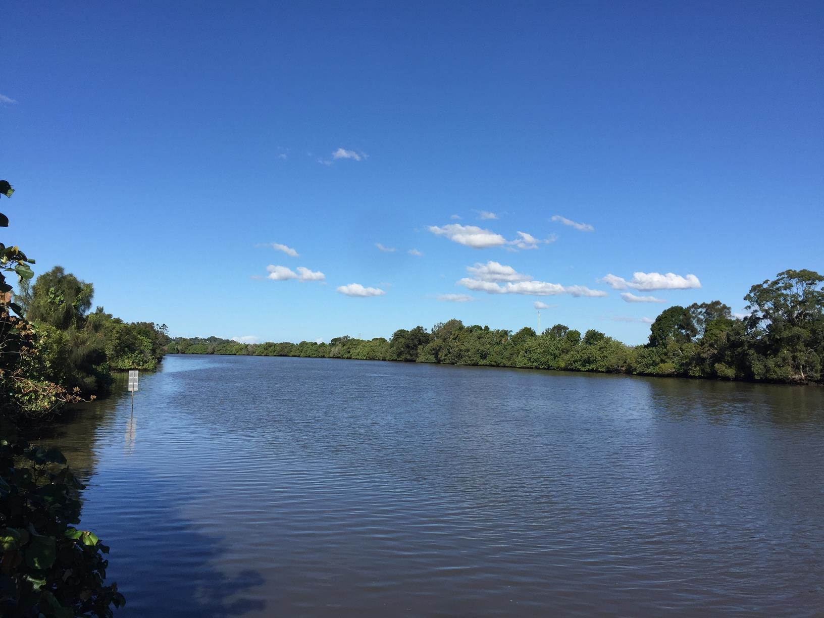
Because Dunethin Lake is very calm it is suitable for beginner paddlers. Those more experienced and adventurous can tackle part, or all, of the much larger Maroochy River Paddle Trail from here.

HIGHLIGHTS
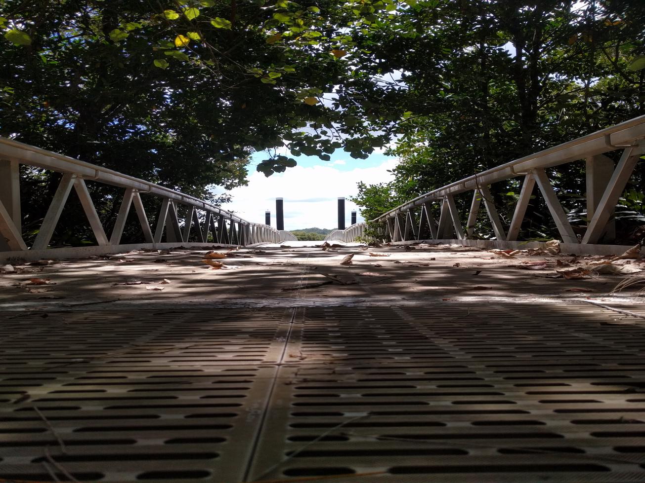
Lake Dunethin is a quite a secret treasure on the Sunshine Coast and a small inlet on the southern side of the Maroochy River. Approximately half way between Yandina and Bli Bli, in what was once cane field territory, the Lake is also about half way along the 30km Maroochy River Canoe Trail.

As such, this experience can be a stepping stone up or down stream for longer excursions. Or simply enjoyed for what it is – a short, circumnavigation of the safe and small lake, making it a great place for beginner paddlers to practice or for families with little ones.

Of all the Maroochy river options this is generally the most peaceful paddle, rarely affected by wind, low water and tides. Keen birdwatchers may be able to spot Spoonbills and Ibis’s or even birds of prey such as Ospreys, Brahminy Kites, or White-bellied Sea Eagles.

AFTERWARDS
If you decide to head upstream your closest stop is Ashtons Wharf, while downstream you will head to Lift Bridge.

Experienced paddlers can head all the way north to George Best Park or south to Coolum Creek, the Maroochy Wetalnds Sanctuary, and Mangrove Islands into the lower reaches of the Maroochy River.

There are a number of sections and access points to the Maroochy River Trail. More information can be found on Sunshine Coast and other websites.

Lake Dunethin Scouts, located nearby to Lake Dunethin on Lake Dunethin Road, offers camping on their grounds at low-cost. They also have canoes for hire.

There are no shops in the area, so remember to bring your own water and food.

After your paddling adventure you can enjoy a picnic lunch. If you are keen for more exercise you can hike up nearby Dunethin Rock and see panoramic views to the nearby coast and up to the Blackall Ranges.

HOW TO GET THERE
To the starting point: Access to Lake Dunethin is on Lake Dunethin Road off Peace Road. Entrance to Peace Road is via Yandina-Bli Bli Road, which runs from Yandina to Bli Bli. You can get to Yandina from the Bruce Highway (M1) or head to Bli Bli from Maroochydore.

Paddlers can access the Lake via the jetty which is across the road from the entrance to the Scouts grounds or you can launch at the boat ramp which is 500m away and accessed via a service road. The entrance to the service road is marked by a picnic shelter. There is limited parking along that road for vehicles and trailers.

To the end point: The end point is the same as the starting point.

glossary button
Glossary
  • Icon showing this activity is suitable for wheelchairsSuitable for wheelchairs
  • Icon showing this activity is suitable for walkingSuitable for walking
  • Icon showing this activity is suitable for recreational cyclingSuitable for recreational cycling
  • Icon showing this activity is suitable for mountain bikingSuitable for mountain biking
  • Icon showing this activity is suitable for horse ridingSuitable for horse riding
  • Icon showing this activity is suitable for kayakingSuitable for kayaking
  • Icon showing this activity has drinking water availableDrinking water available
  • Icon showing this activity does not have drinking water availableNo drinking water available
  • Icon showing this activity has a barbeque on siteBarbeque on site
  • Icon showing this activity has a picnic table on sitePicnic table on site
  • Icon showing this activity has toilets on siteToilets on site
  • Icon showing fires are permitted at this activityFires permitted
  • Icon showing fires are prohibited at this activityFires prohibited
  • Icon showing camping is permitted at this activityCamping permitted
  • Icon showing camping is prohibited at this activityCamping prohibited
  • suitable for kayaking suitable for kayaking Suitable for kayaking
  • No drinking water available No drinking water available No drinking water available
  • Picnic table on site Picnic table on site Picnic table on site
  • toilets on site toilets on site Toilets on site
  • Fires prohibited Fires prohibited Fires prohibited
  • Camping prohibited Camping prohibited Camping prohibited
Write a review

Be the first to review this trail.

hazard icon

IN AN EMERGENCY DIAL '000'.

Always Adventure Safely!

  • Always follow any local signage, it contains key information and conditions can change at any time.
  • Use the trails with consideration for your abilities, be prepared for the adventure ahead:
    • Be aware of the weather conditions, found here: http://www.bom.gov.au/qld/.
    • Always wear appropriate clothing, focus on good footwear.
    • Always bring more water than you think you will need.
    • Be Sun Safe!
    • Always let someone know where you are going that isn’t going with you.
  • Just getting started try this site for good useful information: https://www.trailhiking.com.au/hike-safety/
  • Sunshine Coast Council does it’s best to maintain current information but things can change so always be aware that a trail may not be as listed in this guide, and report and issues via our feedback link.

Sunshine Coast Council

For any issues with this experience please contact:

Sunshine Coast Council via 07 5475 7272 or via e-mail: adventure@sunshinecoast.qld.gov.au

Nearby Trails

Trail Image for Dunethin Rock Explore
Easy

Dunethin Rock Explore

Maroochy River
walking icon cycling icon
Trail type
difficulty icon
Skill Level

2.3km

Length
direction icon
Circuit
Trail Image for Maroochy River Canoe Trail: Ashtons Wharf to Lift Bridge
Intermediate

Maroochy River Canoe Trail: Ashtons Wharf to Lift Bridge

Maroochy River
canoeing icon
Trail type
difficulty icon
Skill Level

3.3km

Length
direction icon
One-way
Trail Image for Road Cycle Route: Twin Waters Loop
Difficult

Road Cycle Route: Twin Waters Loop

Bli Bli
walking icon cycling icon
Trail type
difficulty icon
Skill Level

73.8km

Length
direction icon
Circuit
Trail Image for Parklands Conservation Park - Rocky Creek Circuit
Difficult

Parklands Conservation Park - Rocky Creek Circuit

Parklands
walking icon mountain biking icon horse riding icon
Trail type
difficulty icon
Skill Level

6.0km

Length
direction icon
Circuit
Trail Image for Ninderry Bushland Conservation Reserve: Mount Ninderry Summit Walk
Difficult

Ninderry Bushland Conservation Reserve: Mount Ninderry Summit Walk

Ninderry
walking icon
Trail type
difficulty icon
Skill Level

1.7km

Length
direction icon
One-way

Share this trail

This action requires a login.
To continue, click on Login/Signup below.

Photo uploaded successfully, thank you.

Feedback / Suggest an Adventure

If you have any feedback on the site or any of the trails, please drop us a short email.

Have we missed something? Do you have an adventure to suggest? Fill in the suggestion form to let us know about it.