facebook
Image showing that the PDF download is in progress... PDF download in progress

Please wait...

Image showing a pink decorative paint splat
Image showing a green decorative paint splat
upload photo button
reviews buttonReviews view map buttonMap
view 3d map button3D Map
directions take me there buttonDirections
Save
PDF
Gpx File

Parklands Conservation Park - Rocky Creek Circuit

Parklands Conservation Park - Rocky Creek Circuit
Parklands
walking icon walking icon black mountain biking icon mountain biking icon black horse riding icon horse riding icon black
Trail type
difficulty icon
Skill Level
6.0km
Length
direction icon direction icon black
Circuit

High intensity training circuit.

SUITABILITY
Suitable for walkers and riders of intermediate fitness levels.

HIGHLIGHTS
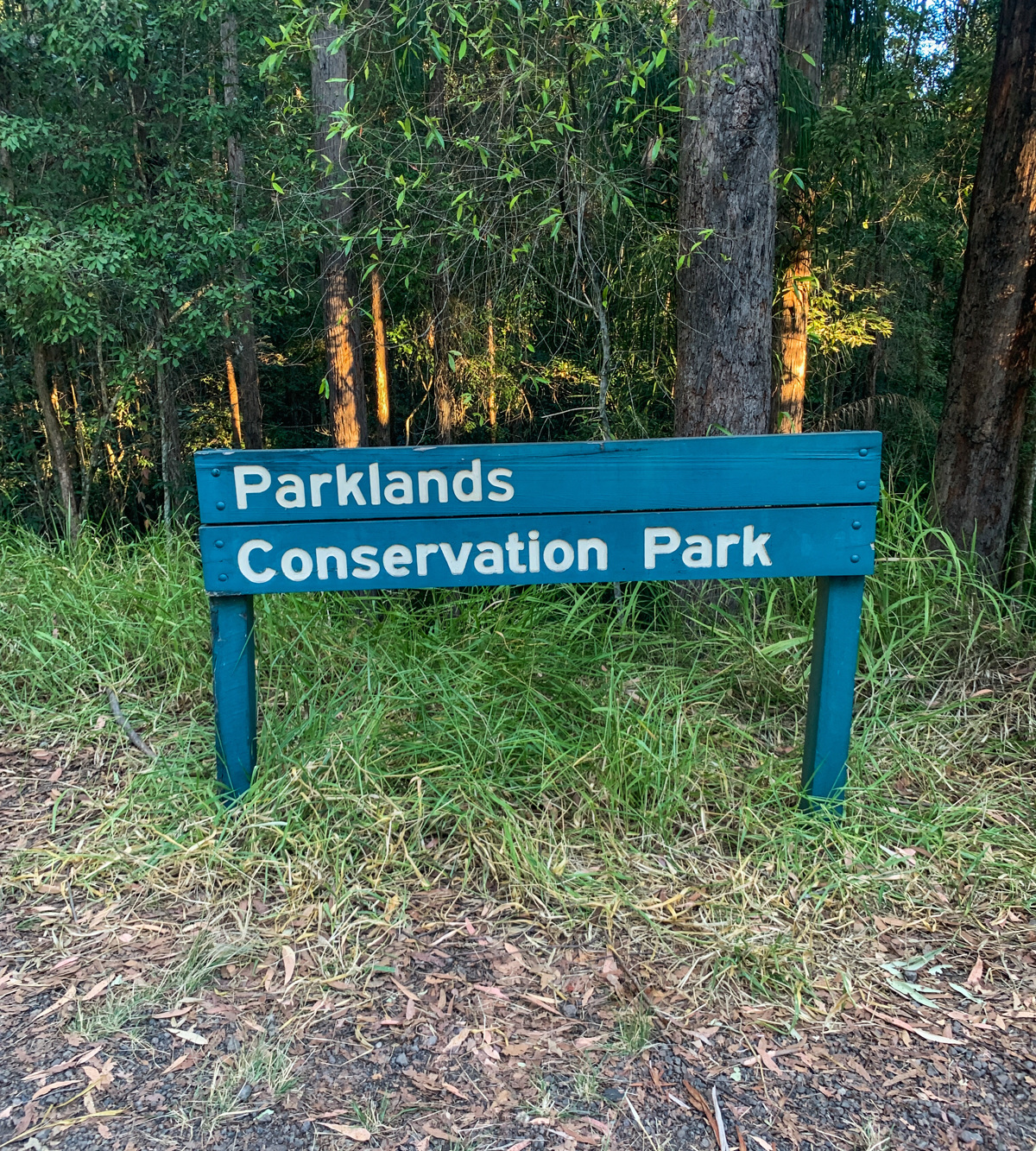
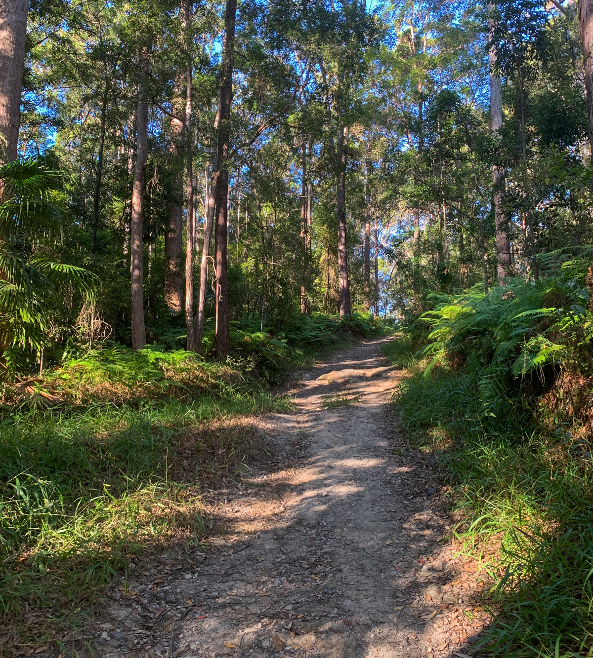
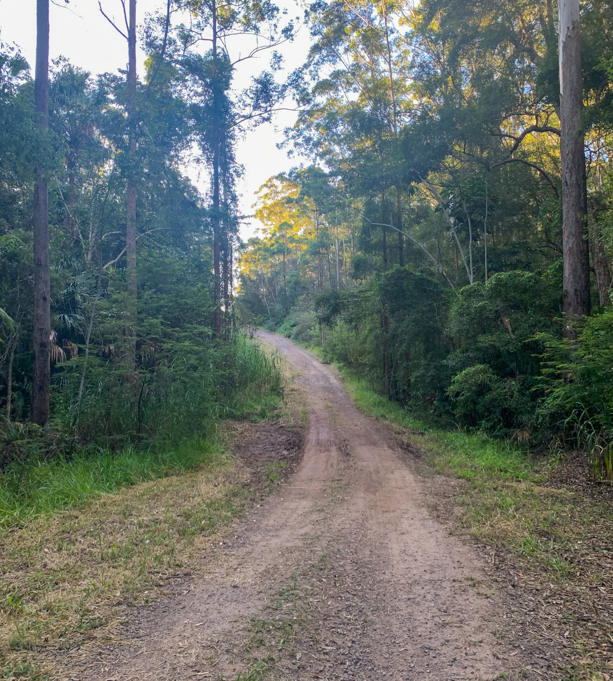
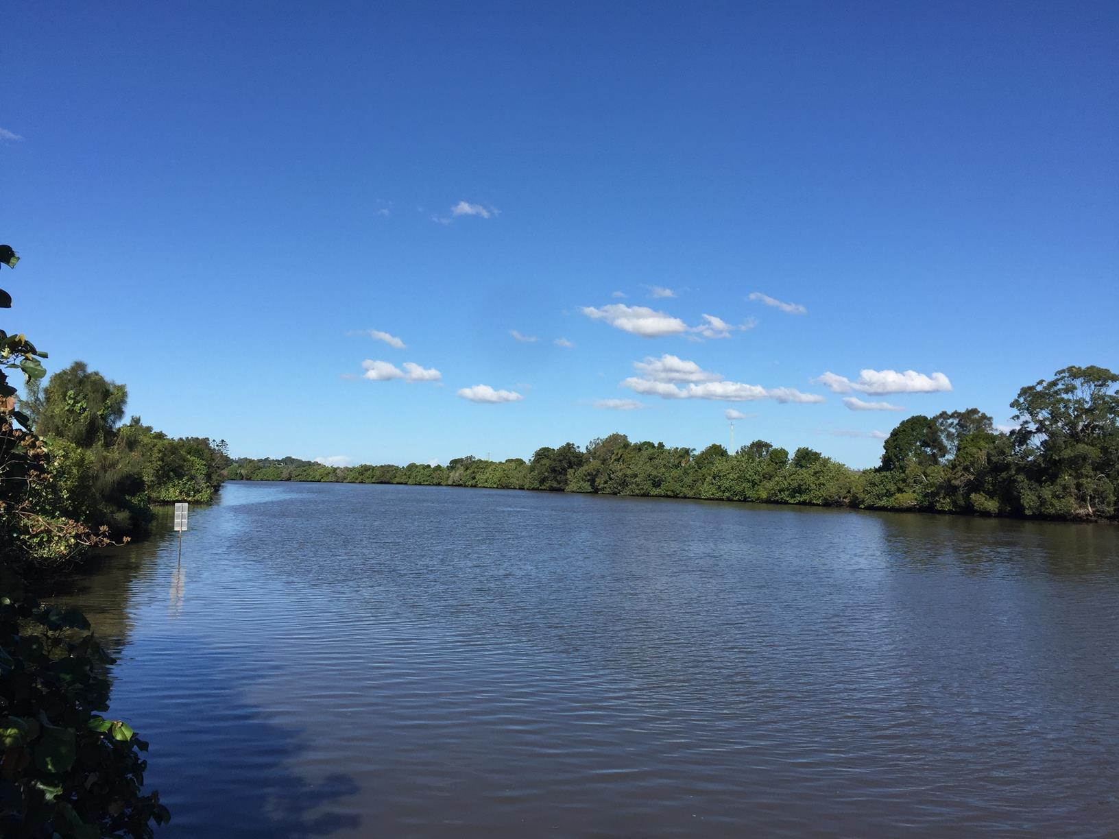
Rocky Creek circuit is a 5.4km track through the Parklands Conservation Park, which provides a valuable wildlife habitat through pen eucalypt forest, rainforest gullies and gorges.
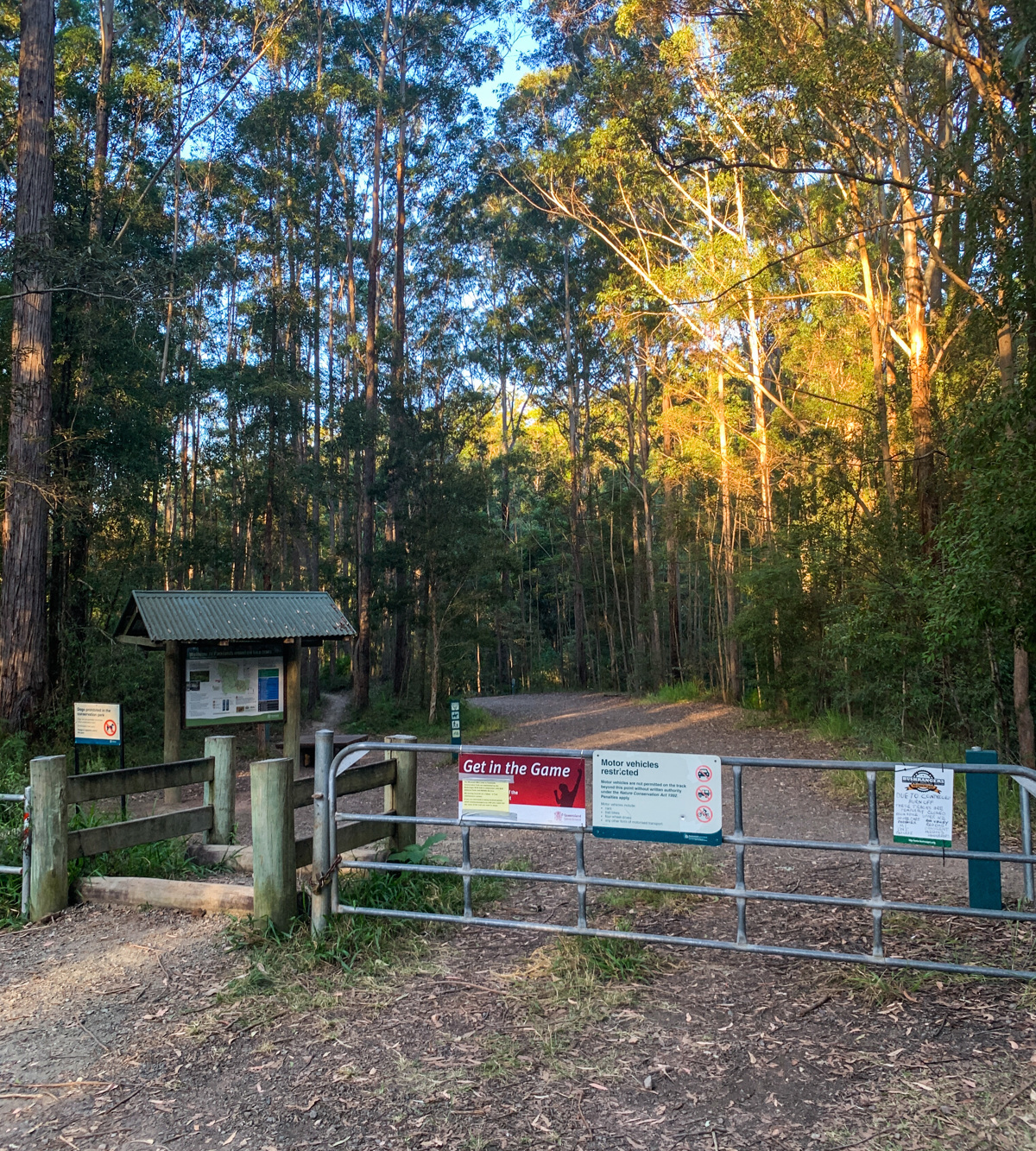
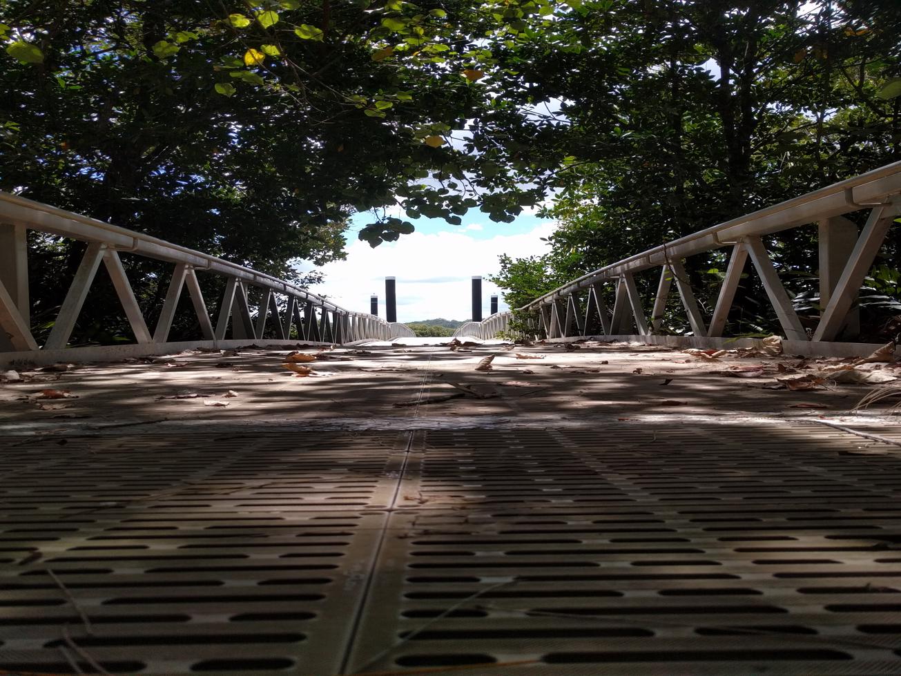
The circuit begins from the base of car park, so be sure to take some time to read the information board and familiarising yourself with the Rocky Creek circuit track! As noted on the board, the circuit is slippery when wet, and has sections with steep grades.
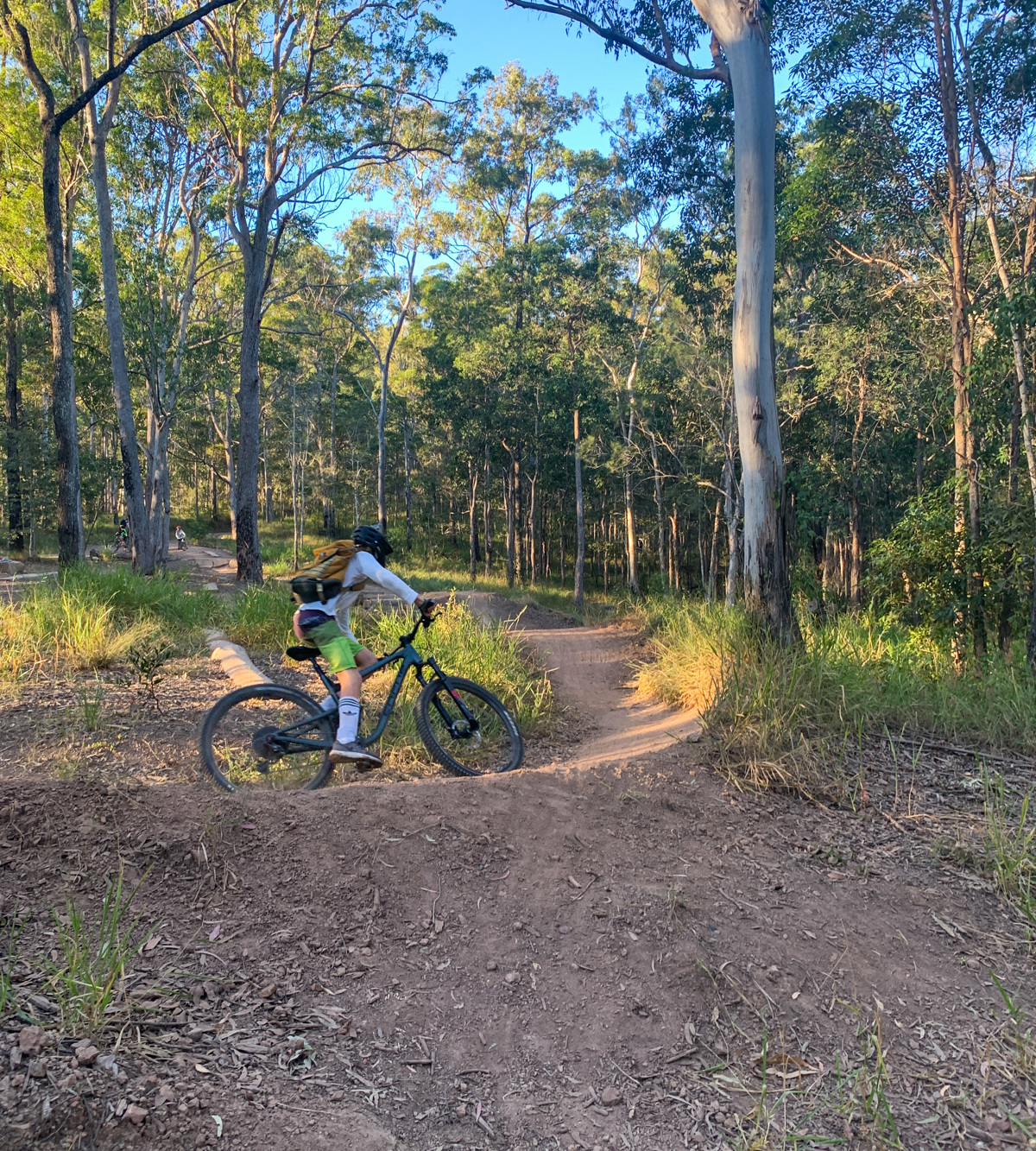
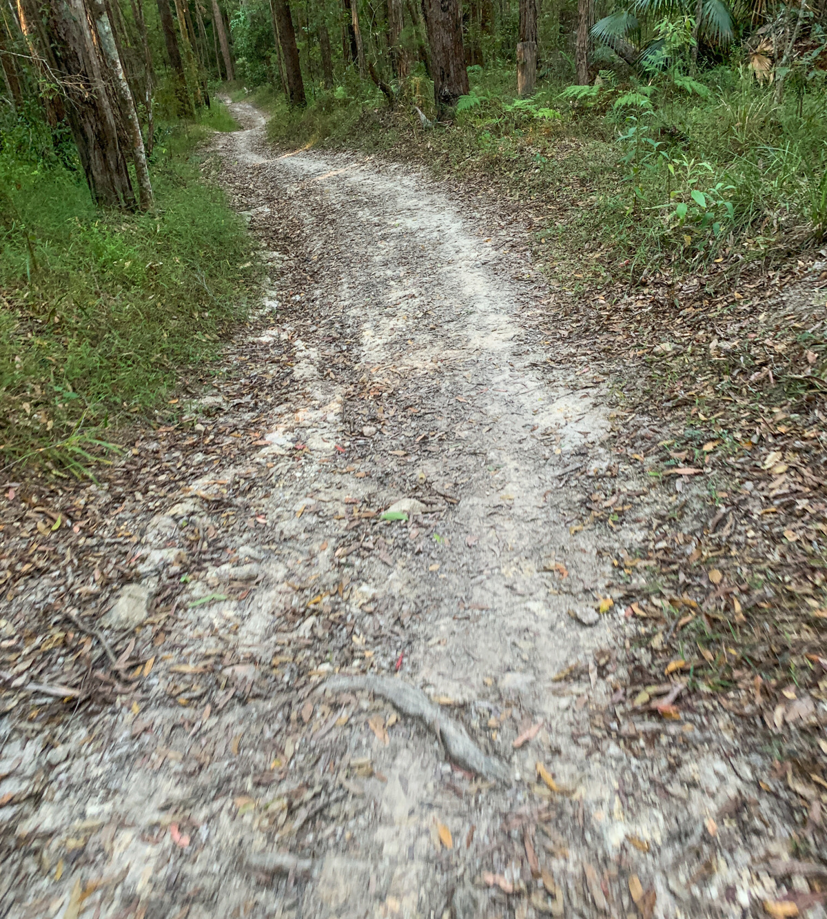
The circuit begins with an inclined track up to the skills area, which is a purpose-built activity circuit for mountain bikers. As you pass the skills area, continue the journey up hill and follow the directional boards through the Rocky Creek circuit (get ready for the steep sections). On the higher ridges, the grassy forest floor is characterised with tallowwood, bloodwood and casuarina. While the lower areas are typical of scribbly gum, bracken fern and palm groves.

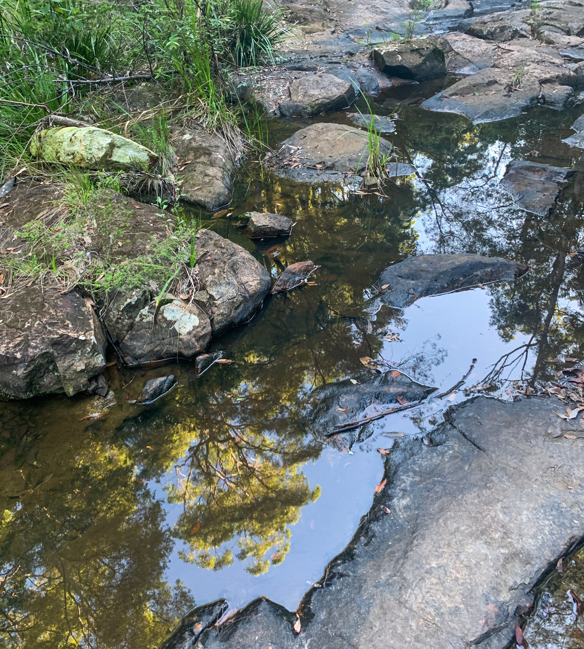
The circuit will take you down to the creek (a nice rest spot), where you cross over a rocky section. Be careful this can be slippery after rainfall.
For more information visit the Dept. Of Environment Science.

AFTERWARDS
Walkers, runners, horse riders and mountain-bike riders can explore the park on 15km of shared trails. Alternatively, head into Nambour and grab a coffee or meal from one of the many local establishments. Or head towards Yandina and make a stop at Wappa Dam and Falls!

HOW TO GET THERE
To the starting point: Take Nambour Connection Road/Parkland Exit 210 off the Bruce Highway and turn into Radar Hill Road. There is a car park with ample parking available. Note there is no drinking water or amenities at this location.
To the end point: The end point is the same as the starting point.

glossary button
Glossary
  • Icon showing this activity is suitable for wheelchairsSuitable for wheelchairs
  • Icon showing this activity is suitable for walkingSuitable for walking
  • Icon showing this activity is suitable for recreational cyclingSuitable for recreational cycling
  • Icon showing this activity is suitable for mountain bikingSuitable for mountain biking
  • Icon showing this activity is suitable for horse ridingSuitable for horse riding
  • Icon showing this activity is suitable for kayakingSuitable for kayaking
  • Icon showing this activity has drinking water availableDrinking water available
  • Icon showing this activity does not have drinking water availableNo drinking water available
  • Icon showing this activity has a barbeque on siteBarbeque on site
  • Icon showing this activity has a picnic table on sitePicnic table on site
  • Icon showing this activity has toilets on siteToilets on site
  • Icon showing fires are permitted at this activityFires permitted
  • Icon showing fires are prohibited at this activityFires prohibited
  • Icon showing camping is permitted at this activityCamping permitted
  • Icon showing camping is prohibited at this activityCamping prohibited
  • Suitable for walking Suitable for walking black lines Suitable for walking
  • Suitable for mountain biking Suitable for mountain biking Suitable for mountain biking
  • Suitable for horse riding Suitable for horse riding Suitable for horse riding
  • No drinking water available No drinking water available No drinking water available
  • Fires prohibited Fires prohibited Fires prohibited
  • Camping prohibited Camping prohibited Camping prohibited
Write a review

Be the first to review this trail.

hazard icon

IN AN EMERGENCY DIAL '000'.

Always Adventure Safely!

  • Always follow any local signage, it contains key information and conditions can change at any time.
  • Use the trails with consideration for your abilities, be prepared for the adventure ahead:
    • Be aware of the weather conditions, found here: http://www.bom.gov.au/qld/.
    • Always wear appropriate clothing, focus on good footwear.
    • Always bring more water than you think you will need.
    • Be Sun Safe!
    • Always let someone know where you are going that isn’t going with you.
  • Just getting started try this site for good useful information: https://www.trailhiking.com.au/hike-safety/
  • Sunshine Coast Council does it’s best to maintain current information but things can change so always be aware that a trail may not be as listed in this guide, and report and issues via our feedback link.

Qld Parks and Wildlife Service

National Parks, Conservation Parks and some State Forests are managed by Queensland Parks and Wildlife Service. Contact details are: https://www.des.qld.gov.au/contactus/

For current information on trail conditions and alerts go to https://parks.des.qld.gov.au/park-alerts/#sunshinecoast

If you think something on this web site needs to change please let us know via: adventure@sunshinecoast.qld.gov.au

Nearby Trails

Trail Image for Road Cycle Route: Twin Waters Loop
Difficult

Road Cycle Route: Twin Waters Loop

Bli Bli
walking icon cycling icon
Trail type
difficulty icon
Skill Level

73.8km

Length
direction icon
Circuit
Trail Image for Maroochy River Canoe Trail: Dunethin Lake Paddle
Easy

Maroochy River Canoe Trail: Dunethin Lake Paddle

Maroochy River
canoeing icon
Trail type
difficulty icon
Skill Level

1.8km

Length
direction icon
Circuit
Trail Image for Maroochy River Canoe Trail: George Best Park to River Junction Paddle
Intermediate

Maroochy River Canoe Trail: George Best Park to River Junction Paddle

Ninderry
canoeing icon
Trail type
difficulty icon
Skill Level

4.3km

Length
direction icon
One-way
Trail Image for Maroochy River Canoe Trail: Ashtons Wharf to Lift Bridge
Intermediate

Maroochy River Canoe Trail: Ashtons Wharf to Lift Bridge

Maroochy River
canoeing icon
Trail type
difficulty icon
Skill Level

3.3km

Length
direction icon
One-way
Trail Image for Dunethin Rock Explore
Easy

Dunethin Rock Explore

Maroochy River
walking icon cycling icon
Trail type
difficulty icon
Skill Level

2.3km

Length
direction icon
Circuit

Share this trail

This action requires a login.
To continue, click on Login/Signup below.

Photo uploaded successfully, thank you.

Feedback / Suggest an Adventure

If you have any feedback on the site or any of the trails, please drop us a short email.

Have we missed something? Do you have an adventure to suggest? Fill in the suggestion form to let us know about it.