facebook
Image showing that the PDF download is in progress... PDF download in progress

Please wait...

Image showing a pink decorative paint splat
Image showing a green decorative paint splat
upload photo button
reviews buttonReviews view map buttonMap
view 3d map button3D Map
directions take me there buttonDirections
Save
PDF
Gpx File

Maroochy River Canoe Trail: George Best Park to River Junction Paddle

Maroochy River Canoe Trail: George Best Park to River Junction Paddle
Ninderry
canoe icon canoe icon black
Trail type
difficulty icon
Skill Level
4.3km
One-way Length
direction icon direction icon black
One-way

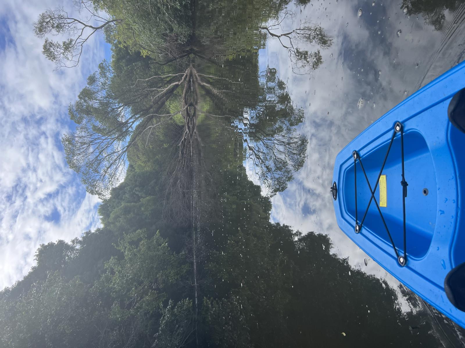
Paddle the upper most section of the Maroochy River near Yandina.

SUITABLILITY
Suitable for all level kayakers.

HIGHLIGHTS
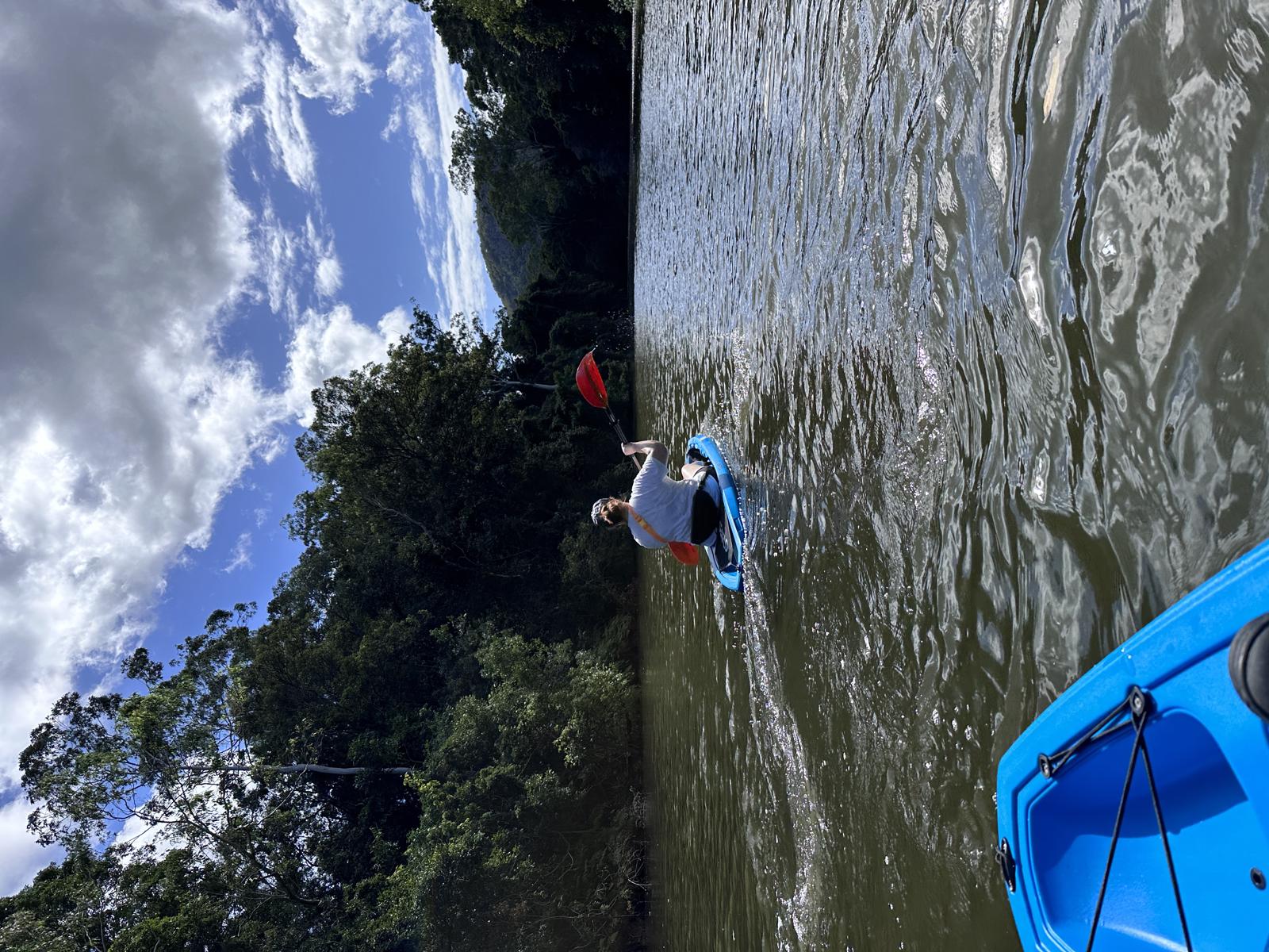
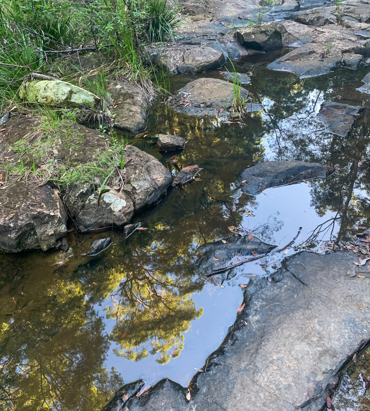
To enjoy the upper most paddling section of the Maroochy River Canoe Trail, it is best to paddle this section of the river by following the current to get over some shallow sections.

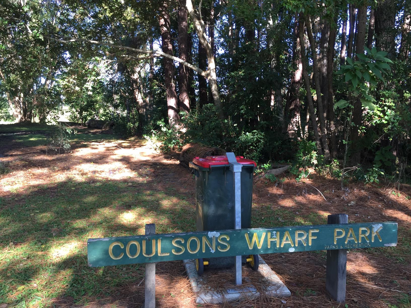
You can also paddle down the river to the join between the north and south arms of the Maroochy River. (This is actually just past Coulson’s Wharf Park, so you will need to turn around and come back if you are getting out here).

Be mindful you are very close to the Bruce Highway on this paddle so the road noise at the start can be distracting.

AFTERWARDS
Accessing Maroochy River from the Yandina side provides the opportunity to do many adventures. Top of the list would be climbing 304 metres to the summit Mt Ninderry which is accessed off Eucalypt Crescent at the end of Ninderry Road at Yandina. You will be rewarded with coastal views.

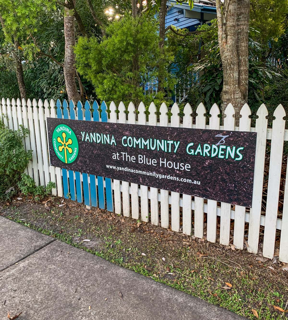
Yandina has a heritage trail you can walk with historic buildings are located in Stevens and Farrell Streets in the main town area. There’s many cafés here in town or you can head to the popular tourist destination the Ginger Factory where there is a restaurant.

The Yandina Markets held every Saturday has wonderful selection of local produce, plants and curios and food stalls.

HOW TO GET THERE
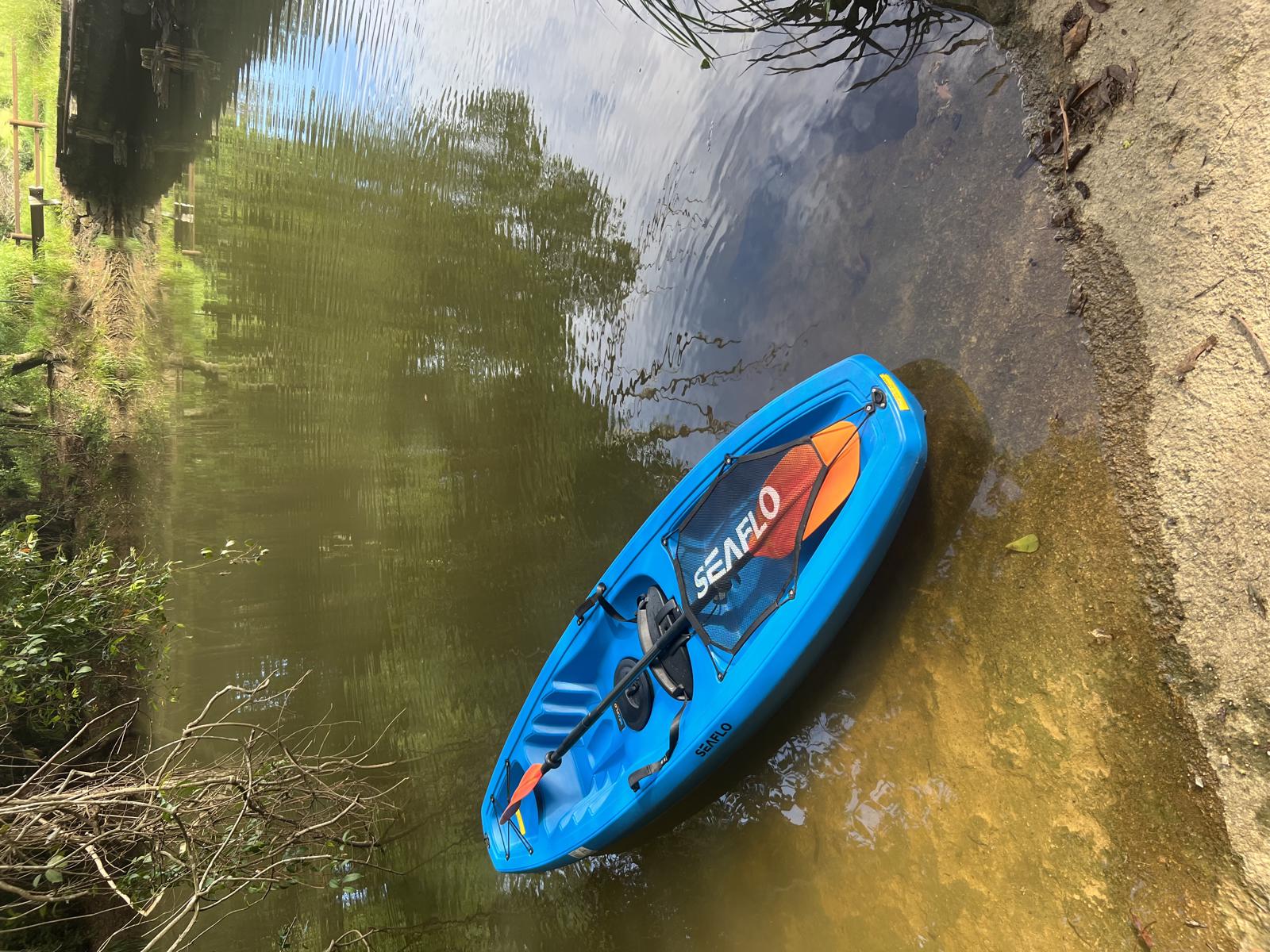
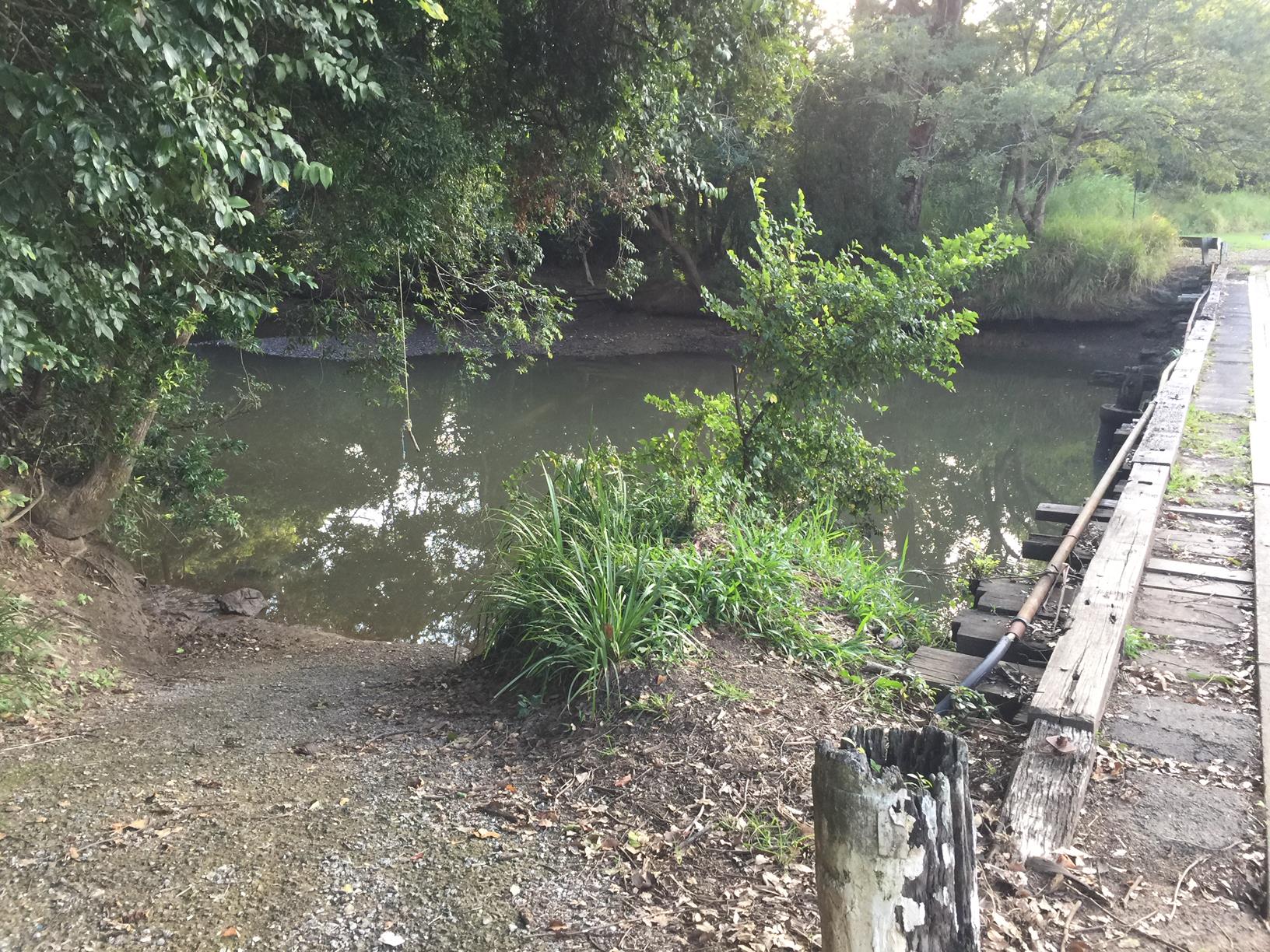
To the starting point: Drive to George Best Park located on Ninderry Road, Yandina. There is a rough ramp at the start to get into the river.

To the end point: If you choose to do an out and back paddle you will finish at George Best Park. If you are wanting to do the section to the River Junction, you can opt to finish at Coulson’s Wharf Park, on the southern side of Yandina Coolum Road at Yandina (not far off the Bruce Highway). You could go further downstream to Ashton’s Wharf as another option.

glossary button
Glossary
  • Icon showing this activity is suitable for wheelchairsSuitable for wheelchairs
  • Icon showing this activity is suitable for walkingSuitable for walking
  • Icon showing this activity is suitable for recreational cyclingSuitable for recreational cycling
  • Icon showing this activity is suitable for mountain bikingSuitable for mountain biking
  • Icon showing this activity is suitable for horse ridingSuitable for horse riding
  • Icon showing this activity is suitable for kayakingSuitable for kayaking
  • Icon showing this activity has drinking water availableDrinking water available
  • Icon showing this activity does not have drinking water availableNo drinking water available
  • Icon showing this activity has a barbeque on siteBarbeque on site
  • Icon showing this activity has a picnic table on sitePicnic table on site
  • Icon showing this activity has toilets on siteToilets on site
  • Icon showing fires are permitted at this activityFires permitted
  • Icon showing fires are prohibited at this activityFires prohibited
  • Icon showing camping is permitted at this activityCamping permitted
  • Icon showing camping is prohibited at this activityCamping prohibited
  • suitable for kayaking suitable for kayaking Suitable for kayaking
  • No drinking water available No drinking water available No drinking water available
  • Picnic table on site Picnic table on site Picnic table on site
  • Fires prohibited Fires prohibited Fires prohibited
  • Camping prohibited Camping prohibited Camping prohibited
Write a review

Review Date: 04/03/2023

You can park close to the water and it is easy to get your kayak in. The launch area is stone and not slippery. The park itself has a small playground and shelter. The paddle is relaxing and easy. It took approximately an hour each way with stops to take photos. We saw all kids of birds and fish jumping out of the water. Some trees have fallen in but none are blocking the way. Nice if you are looking for a relaxing paddle.

Reviewed By: Laura

hazard icon

IN AN EMERGENCY DIAL '000'.

Always Adventure Safely!

  • Always follow any local signage, it contains key information and conditions can change at any time.
  • Use the trails with consideration for your abilities, be prepared for the adventure ahead:
    • Be aware of the weather conditions, found here: http://www.bom.gov.au/qld/.
    • Always wear appropriate clothing, focus on good footwear.
    • Always bring more water than you think you will need.
    • Be Sun Safe!
    • Always let someone know where you are going that isn’t going with you.
  • Just getting started try this site for good useful information: https://www.trailhiking.com.au/hike-safety/
  • Sunshine Coast Council does it’s best to maintain current information but things can change so always be aware that a trail may not be as listed in this guide, and report and issues via our feedback link.

Sunshine Coast Council

For any issues with this experience please contact:

Sunshine Coast Council via 07 5475 7272 or via e-mail: adventure@sunshinecoast.qld.gov.au

Nearby Trails

Trail Image for Road Cycle Route: Twin Waters Loop
Difficult

Road Cycle Route: Twin Waters Loop

Bli Bli
walking icon cycling icon
Trail type
difficulty icon
Skill Level

73.8km

Length
direction icon
Circuit
Trail Image for A Journey through Yandina
Easy

A Journey through Yandina

Yandina
walking icon
Trail type
difficulty icon
Skill Level

2.0km

Length
direction icon
Circuit
Trail Image for Ninderry Bushland Conservation Reserve: Mount Ninderry Summit Walk
Difficult

Ninderry Bushland Conservation Reserve: Mount Ninderry Summit Walk

Ninderry
walking icon
Trail type
difficulty icon
Skill Level

1.7km

Length
direction icon
One-way
Trail Image for Parklands Conservation Park - Rocky Creek Circuit
Difficult

Parklands Conservation Park - Rocky Creek Circuit

Parklands
walking icon mountain biking icon horse riding icon
Trail type
difficulty icon
Skill Level

6.0km

Length
direction icon
Circuit
Trail Image for Ninderry Bushland Conservation Reserve: Walk to Wedgetail Court
Intermediate

Ninderry Bushland Conservation Reserve: Walk to Wedgetail Court

Ninderry
walking icon
Trail type
difficulty icon
Skill Level

0.8km

Length
direction icon
One-way

Share this trail

This action requires a login.
To continue, click on Login/Signup below.

Photo uploaded successfully, thank you.

Feedback / Suggest an Adventure

If you have any feedback on the site or any of the trails, please drop us a short email.

Have we missed something? Do you have an adventure to suggest? Fill in the suggestion form to let us know about it.