facebook
Image showing that the PDF download is in progress... PDF download in progress

Please wait...

Image showing a pink decorative paint splat
Image showing a green decorative paint splat
upload photo button
reviews buttonReviews view map buttonMap
view 3d map button3D Map
directions take me there buttonDirections
Save
PDF
Gpx File

Ninderry Bushland Conservation Reserve: Walk to Wedgetail Court

Ninderry Bushland Conservation Reserve: Walk to Wedgetail Court
Ninderry
walking icon walking icon black
Trail type
difficulty icon
Skill Level
0.8km
One-way Length
direction icon direction icon black
One-way

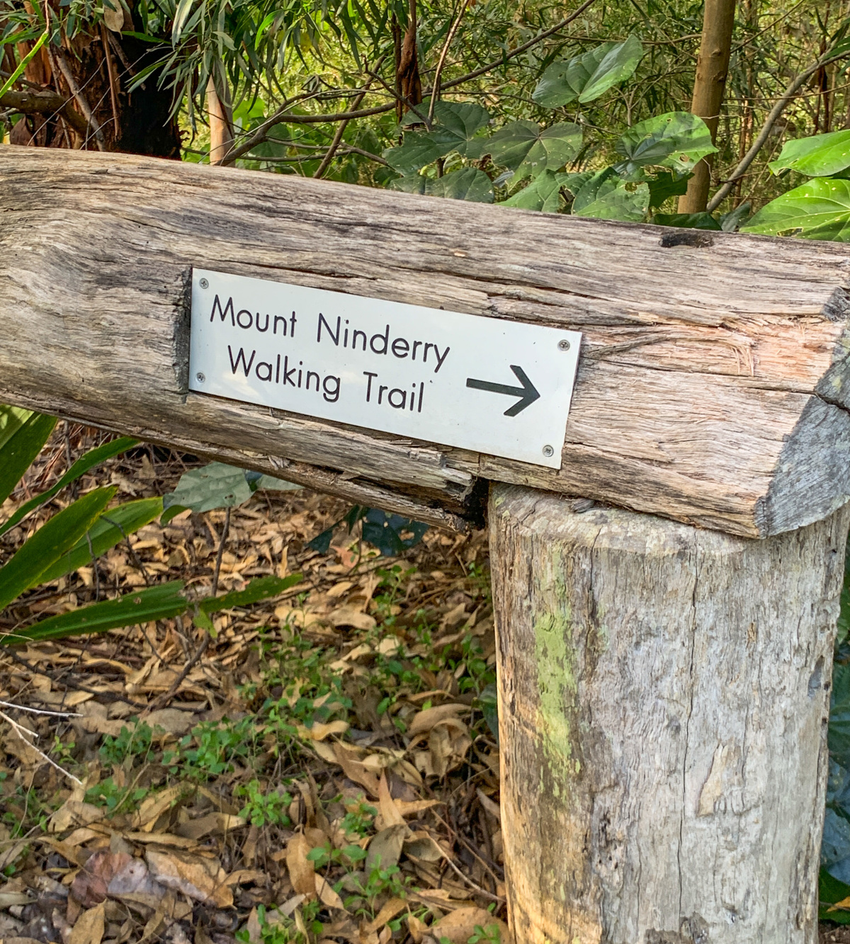
Enjoy this green and varied side trail that partly hugs the side of Mount Ninderry.

SUITABILITY
Suitable for walkers wanting an easier route than the summit.

HIGHLIGHTS
Only 10 minutes from Yandina is the Mt Ninderry Bushland Conservation Reserve which covers approx. 150 hectares of a volcanic core. The original Aboriginal people of the Yandina area belonged to the Gubbi Gubbi language group and Ninderry is one of the landforms of the region that feature in Aboriginal myth. Ninderry was a mighty – and as it turned out – vengeful warrior, punished by the spirit God, Beeral, and turned into stone.

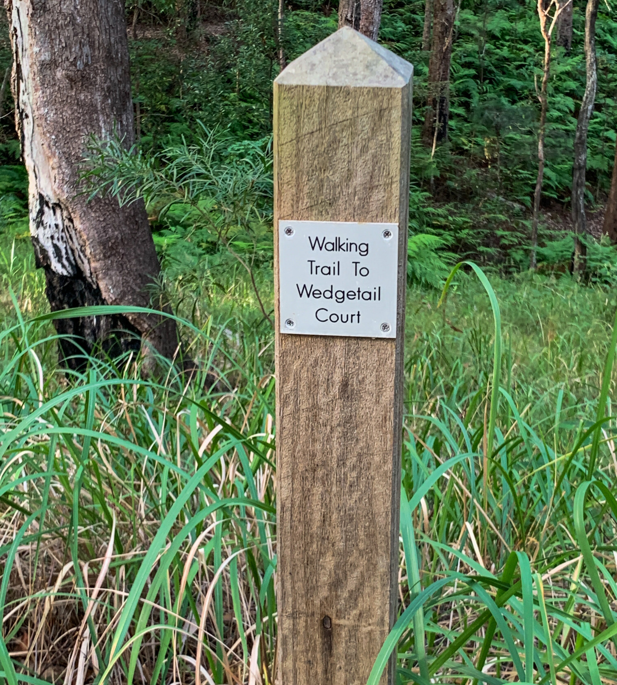
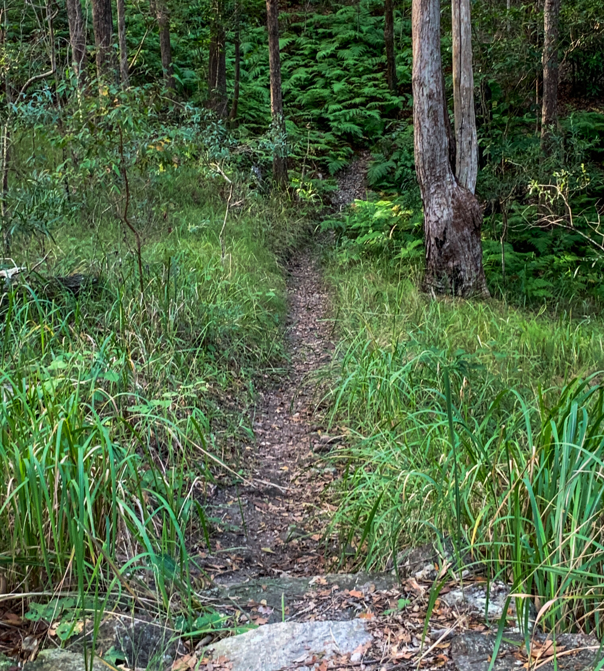
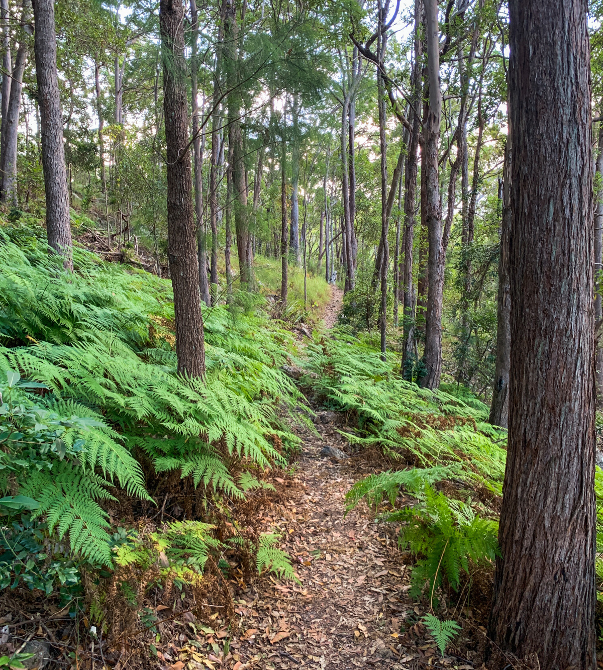
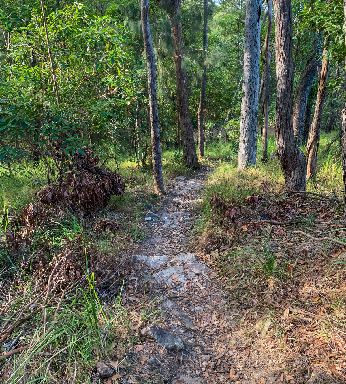
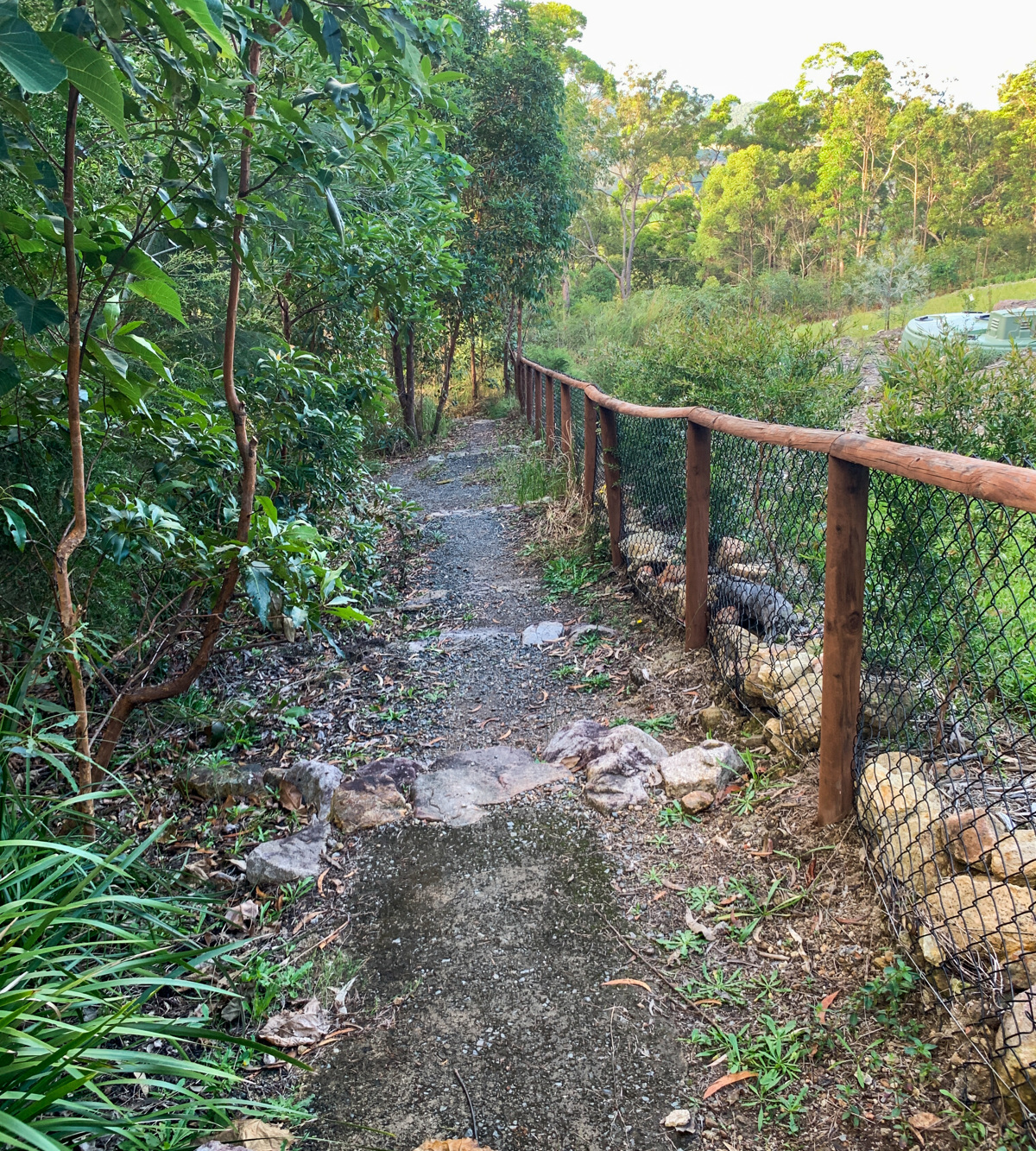
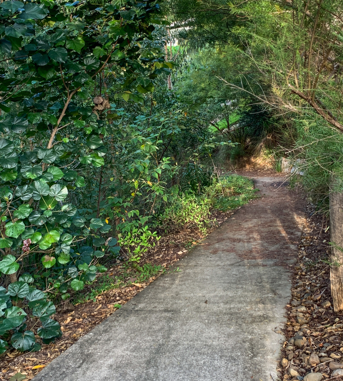
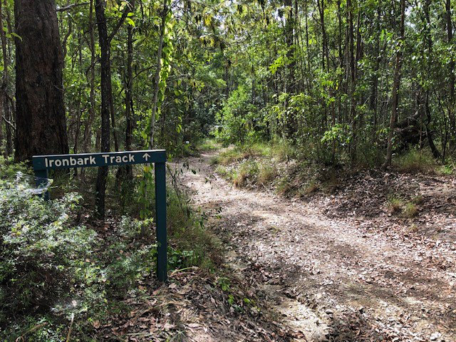
If Ninderry summit trail was/is too tough or you still want more, you don’t have to go far for a different feel of the mountainside. Brushing through the ferns below the ridge you can traverse a nicely benched track around to the new estate and back. Surprisingly, parts of this track are a cement path. You’ll go past lots of paper bark trees, bracken and other ferns and healthy-looking grass trees. You might be able to see koalas in the trees as this peak has been identified as being a highly suitable habitat.

AFTERWARDS
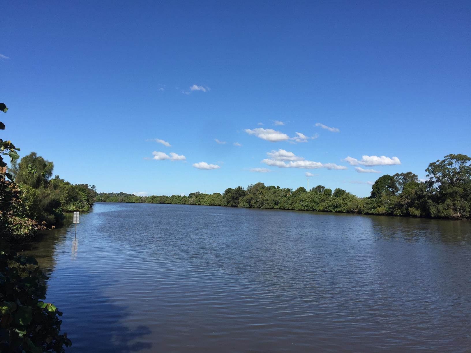
Why not head south of the Maroochy River to Dunethin Rock, which offers much closer views over the river. Yandina township is the closest for convenience and attractions including the ginger and macadamia factories, the famous Thai Spirit House restaurant, wonderful organic cafes and a delightful country pub. Here on a Saturday morning – why not check out the local markets!

HOW TO GET THERE
To the starting point: Travelling on the M1 take the Yandina Coolum exit towards the coast. After you cross the Maroochy River turn left into Collins Road.
Travelling on the Sunshine Coast Motorway take the Yandina Coolum exit towards Yandina and turn right into Collins Road just before the river (close to Yandina).
Follow Collins Road to the end and at the T-junction with Ninderry Road, turn right and follow it to about 500 metres before the end where the road forks. Take the right-hand road to Mount Ninderry car park.
Additionally, heading north along Nambour Connection Road, travel through the Yandina town (changes to Farrell Street), before turning right into Ninderry Road.

To the end point: The end point is the same as the start.


glossary button
Glossary
  • Icon showing this activity is suitable for wheelchairsSuitable for wheelchairs
  • Icon showing this activity is suitable for walkingSuitable for walking
  • Icon showing this activity is suitable for recreational cyclingSuitable for recreational cycling
  • Icon showing this activity is suitable for mountain bikingSuitable for mountain biking
  • Icon showing this activity is suitable for horse ridingSuitable for horse riding
  • Icon showing this activity is suitable for kayakingSuitable for kayaking
  • Icon showing this activity has drinking water availableDrinking water available
  • Icon showing this activity does not have drinking water availableNo drinking water available
  • Icon showing this activity has a barbeque on siteBarbeque on site
  • Icon showing this activity has a picnic table on sitePicnic table on site
  • Icon showing this activity has toilets on siteToilets on site
  • Icon showing fires are permitted at this activityFires permitted
  • Icon showing fires are prohibited at this activityFires prohibited
  • Icon showing camping is permitted at this activityCamping permitted
  • Icon showing camping is prohibited at this activityCamping prohibited
  • Suitable for walking Suitable for walking black lines Suitable for walking
  • No drinking water available No drinking water available No drinking water available
  • Fires prohibited Fires prohibited Fires prohibited
  • Camping prohibited Camping prohibited Camping prohibited
Write a review

Review Date: 16/05/2019

A beautiful family forgiving track that is scenic and dog friendly. Our family (and dogs) thoroughly enjoyed this little adventure as a part of our Mothers Day out which was followed by a lovely lunch in Coolum.

Reviewed By: B

Review Date: 18/04/2019

Track is well maintained and views at the top are beautiful. Our dog loved joining us on this walk.

Reviewed By: Jasmine

hazard icon

IN AN EMERGENCY DIAL '000'.

Always Adventure Safely!

  • Always follow any local signage, it contains key information and conditions can change at any time.
  • Use the trails with consideration for your abilities, be prepared for the adventure ahead:
    • Be aware of the weather conditions, found here: http://www.bom.gov.au/qld/.
    • Always wear appropriate clothing, focus on good footwear.
    • Always bring more water than you think you will need.
    • Be Sun Safe!
    • Always let someone know where you are going that isn’t going with you.
  • Just getting started try this site for good useful information: https://www.trailhiking.com.au/hike-safety/
  • Sunshine Coast Council does it’s best to maintain current information but things can change so always be aware that a trail may not be as listed in this guide, and report and issues via our feedback link.

Qld Parks and Wildlife Service

National Parks, Conservation Parks and some State Forests are managed by Queensland Parks and Wildlife Service. Contact details are: https://www.des.qld.gov.au/contactus/

For current information on trail conditions and alerts go to https://parks.des.qld.gov.au/park-alerts/#sunshinecoast

If you think something on this web site needs to change please let us know via: adventure@sunshinecoast.qld.gov.au

Nearby Trails

Trail Image for Ninderry Bushland Conservation Reserve: Mount Ninderry Summit Walk
Difficult

Ninderry Bushland Conservation Reserve: Mount Ninderry Summit Walk

Ninderry
walking icon
Trail type
difficulty icon
Skill Level

1.7km

Length
direction icon
One-way
Trail Image for Maroochy River Canoe Trail: George Best Park to River Junction Paddle
Intermediate

Maroochy River Canoe Trail: George Best Park to River Junction Paddle

Ninderry
canoeing icon
Trail type
difficulty icon
Skill Level

4.3km

Length
direction icon
One-way
Trail Image for Eumundi Conservation Park: Ironbark Trail
Easy

Eumundi Conservation Park: Ironbark Trail

Verrierdale
walking icon mountain biking icon horse riding icon
Trail type
difficulty icon
Skill Level

5.5km

Length
direction icon
One-way
Trail Image for Maroochy River Canoe Trail: Ashtons Wharf to Lift Bridge
Intermediate

Maroochy River Canoe Trail: Ashtons Wharf to Lift Bridge

Maroochy River
canoeing icon
Trail type
difficulty icon
Skill Level

3.3km

Length
direction icon
One-way
Trail Image for Road Cycle Route: Twin Waters Loop
Difficult

Road Cycle Route: Twin Waters Loop

Bli Bli
walking icon cycling icon
Trail type
difficulty icon
Skill Level

73.8km

Length
direction icon
Circuit

Share this trail

This action requires a login.
To continue, click on Login/Signup below.

Photo uploaded successfully, thank you.

Feedback / Suggest an Adventure

If you have any feedback on the site or any of the trails, please drop us a short email.

Have we missed something? Do you have an adventure to suggest? Fill in the suggestion form to let us know about it.