facebook
Image showing that the PDF download is in progress... PDF download in progress

Please wait...

Image showing a pink decorative paint splat
Image showing a green decorative paint splat
upload photo button
reviews buttonReviews view map buttonMap
view 3d map button3D Map
directions take me there buttonDirections
Save
PDF
Gpx File

Eumundi Conservation Park: Ironbark Trail

Eumundi Conservation Park: Ironbark Trail
Verrierdale
walking icon walking icon black mountain biking icon mountain biking icon black horse riding icon horse riding icon black
Trail type
difficulty icon
Skill Level
5.5km
One-way Length
direction icon direction icon black
One-way

A beautiful, challenging bushwalk trail.

SUITABILITY
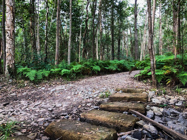
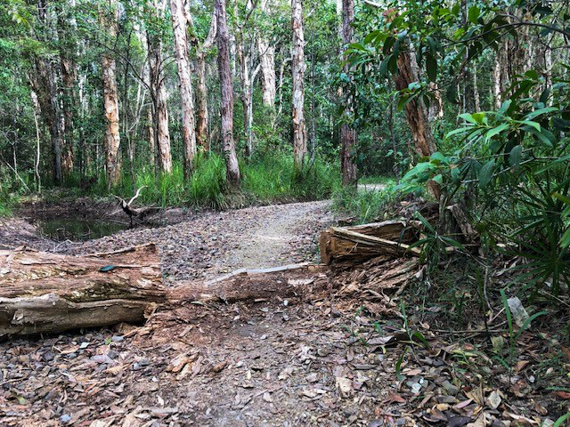
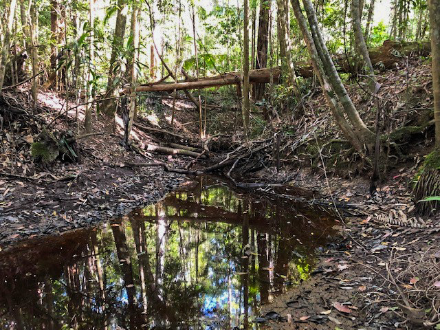
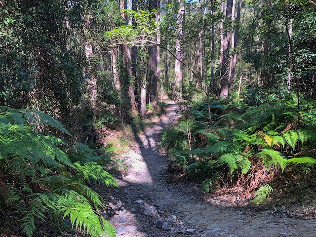
This walk is suitable for those familiar with trail walking, with some steep rises, rocky paths and creek beds in wetter months. The trail is also suitable for mountain bike riding and horse riding.

HIGHLIGHTS
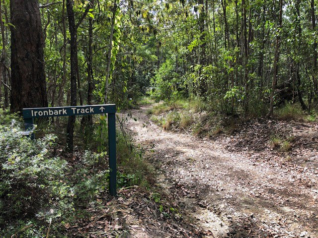
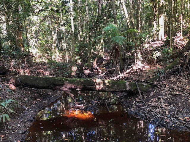
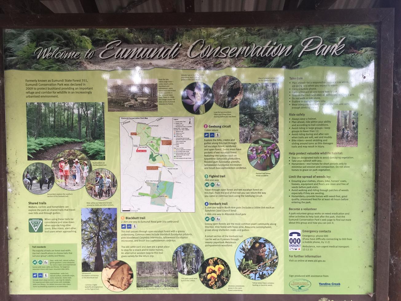
The Ironbark Trail begins at the Seib Rd entrance and is a 5.1km walk one way. The trail snakes along an undulating, mostly rocky trail through the Eumundi Conservation Park, concluding at the North Arm Yandina Gate.
The trail is well marked and is shared between walkers, mountain bike riders and horse riders. During wetter months the numerous creeks flow freely, adding to the beauty and ambience of the walk.
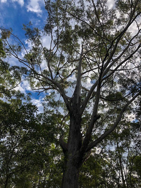
Whilst walking under the enclosed tree canopy there is a plethora of birdlife, insects and native flora to inspect.
The Ironbark Trail also crosses the Geebung Circuit and Figbird Trail, so why not mix them up and enjoy the full range of trails on offer?

AFTERWARDS
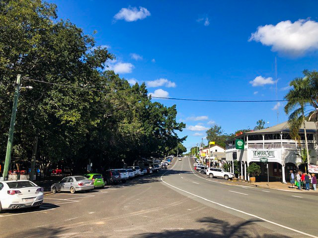
The nearby town of Eumundi is the perfect place to refuel and relax with several notable cafes with excellent coffee and one of the Sunshine Coast’s best playgrounds. Or if you have timed your trip well, the famous Eumundi Markets are an essential place to visit.

HOW TO GET THERE
To Start: Via either the Bruce Highway or Emu Mountain Rd, turn onto Eumundi Noosa Rd and then Seib Rd. The access point is via Verrierdale-Forest Rd.
To End: The end point is the North Arm Yandina Creek Road Gate.

glossary button
Glossary
  • Icon showing this activity is suitable for wheelchairsSuitable for wheelchairs
  • Icon showing this activity is suitable for walkingSuitable for walking
  • Icon showing this activity is suitable for recreational cyclingSuitable for recreational cycling
  • Icon showing this activity is suitable for mountain bikingSuitable for mountain biking
  • Icon showing this activity is suitable for horse ridingSuitable for horse riding
  • Icon showing this activity is suitable for kayakingSuitable for kayaking
  • Icon showing this activity has drinking water availableDrinking water available
  • Icon showing this activity does not have drinking water availableNo drinking water available
  • Icon showing this activity has a barbeque on siteBarbeque on site
  • Icon showing this activity has a picnic table on sitePicnic table on site
  • Icon showing this activity has toilets on siteToilets on site
  • Icon showing fires are permitted at this activityFires permitted
  • Icon showing fires are prohibited at this activityFires prohibited
  • Icon showing camping is permitted at this activityCamping permitted
  • Icon showing camping is prohibited at this activityCamping prohibited
  • Suitable for walking Suitable for walking black lines Suitable for walking
  • Suitable for mountain biking Suitable for mountain biking Suitable for mountain biking
  • Suitable for horse riding Suitable for horse riding Suitable for horse riding
  • No drinking water available No drinking water available No drinking water available
  • Fires prohibited Fires prohibited Fires prohibited
  • Camping prohibited Camping prohibited Camping prohibited
Write a review

Be the first to review this trail.

hazard icon

IN AN EMERGENCY DIAL '000'.

Always Adventure Safely!

  • Always follow any local signage, it contains key information and conditions can change at any time.
  • Use the trails with consideration for your abilities, be prepared for the adventure ahead:
    • Be aware of the weather conditions, found here: http://www.bom.gov.au/qld/.
    • Always wear appropriate clothing, focus on good footwear.
    • Always bring more water than you think you will need.
    • Be Sun Safe!
    • Always let someone know where you are going that isn’t going with you.
  • Just getting started try this site for good useful information: https://www.trailhiking.com.au/hike-safety/
  • Sunshine Coast Council does it’s best to maintain current information but things can change so always be aware that a trail may not be as listed in this guide, and report and issues via our feedback link.

Qld Parks and Wildlife Service

National Parks, Conservation Parks and some State Forests are managed by Queensland Parks and Wildlife Service. Contact details are: https://www.des.qld.gov.au/contactus/

For current information on trail conditions and alerts go to https://parks.des.qld.gov.au/park-alerts/#sunshinecoast

If you think something on this web site needs to change please let us know via: adventure@sunshinecoast.qld.gov.au

Nearby Trails

Trail Image for Eumundi Conservation Park: Seib Road Loop
Intermediate

Eumundi Conservation Park: Seib Road Loop

Eumundi
walking icon mountain biking icon horse riding icon
Trail type
difficulty icon
Skill Level

4.9km

Length
direction icon
Circuit
Trail Image for Eumundi Conservation Park: Geebung Circuit
Easy

Eumundi Conservation Park: Geebung Circuit

Eumundi
walking icon mountain biking icon horse riding icon
Trail type
difficulty icon
Skill Level

3.9km

Length
direction icon
Circuit
Trail Image for Eumundi Conservation Park: Figbird Trail
Easy

Eumundi Conservation Park: Figbird Trail

Verrierdale
walking icon mountain biking icon horse riding icon
Trail type
difficulty icon
Skill Level

4.7km

Length
direction icon
Circuit
Trail Image for Road Cycle Route: Twin Waters Loop
Difficult

Road Cycle Route: Twin Waters Loop

Bli Bli
walking icon cycling icon
Trail type
difficulty icon
Skill Level

73.8km

Length
direction icon
Circuit
Trail Image for Eumundi: Memorial Drive Walk
Easy

Eumundi: Memorial Drive Walk

Eumundi
walking icon
Trail type
difficulty icon
Skill Level

1.9km

Length
direction icon
Circuit

Share this trail

This action requires a login.
To continue, click on Login/Signup below.

Photo uploaded successfully, thank you.

Feedback / Suggest an Adventure

If you have any feedback on the site or any of the trails, please drop us a short email.

Have we missed something? Do you have an adventure to suggest? Fill in the suggestion form to let us know about it.