facebook
Image showing that the PDF download is in progress... PDF download in progress

Please wait...

Image showing a pink decorative paint splat
Image showing a green decorative paint splat
upload photo button
reviews buttonReviews view map buttonMap
view 3d map button3D Map
directions take me there buttonDirections
Save
PDF
Gpx File

Buderim Tramway Trail

Buderim Tramway Trail
Forest Glen
walking icon walking icon black
Trail type
difficulty icon
Skill Level
2.1km
One-way Length
direction icon direction icon black
One-way

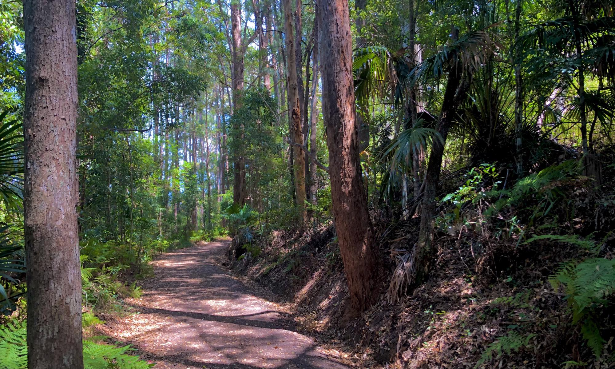
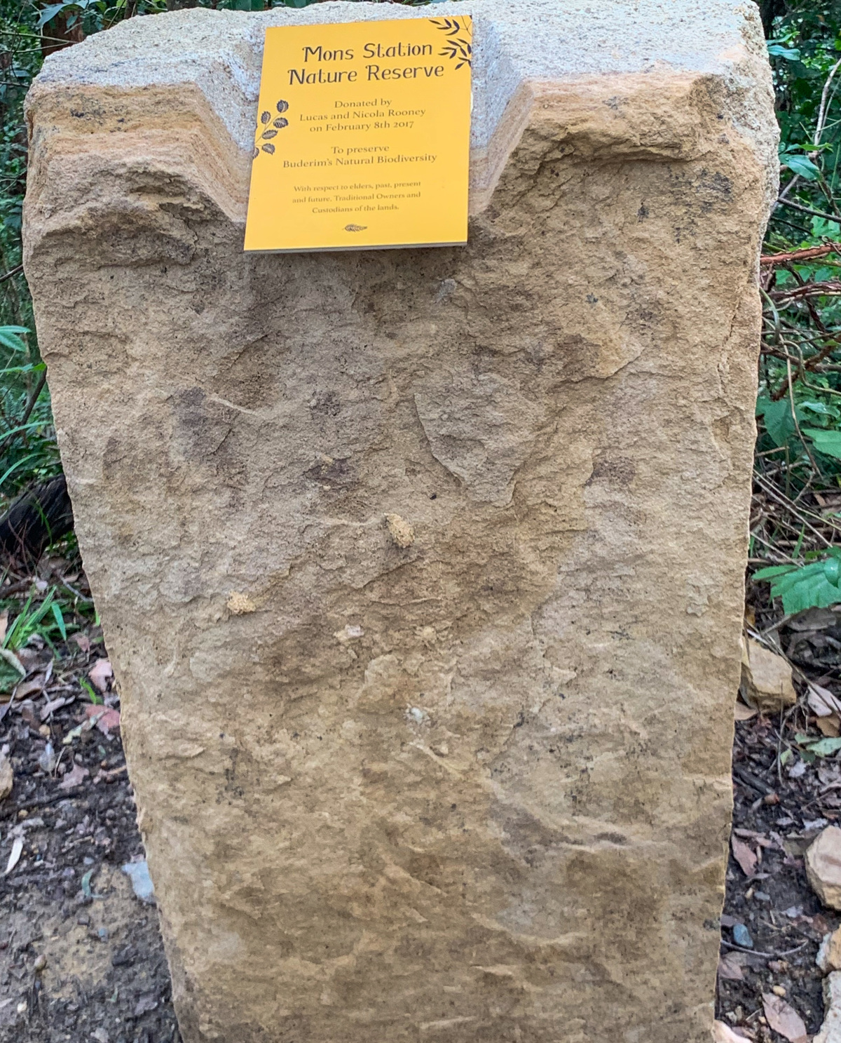
Located just outside of town this 2km section of the old tram line offers a great walk thru through time and the natural rainforest environment.

SUITABILITY
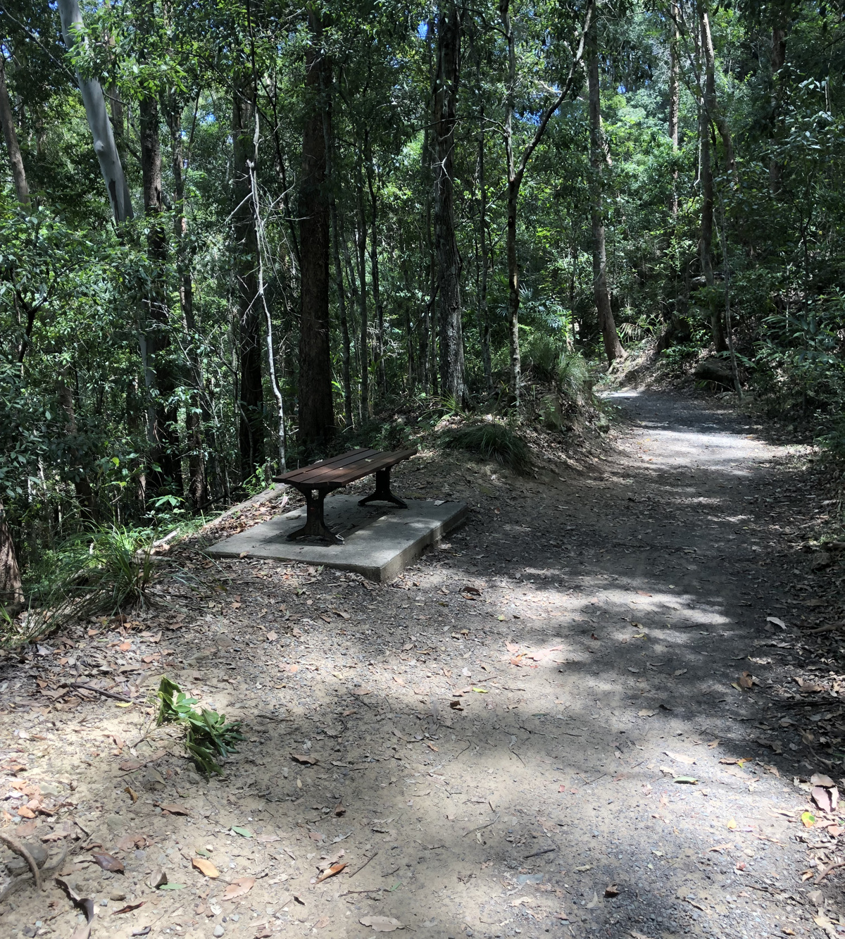
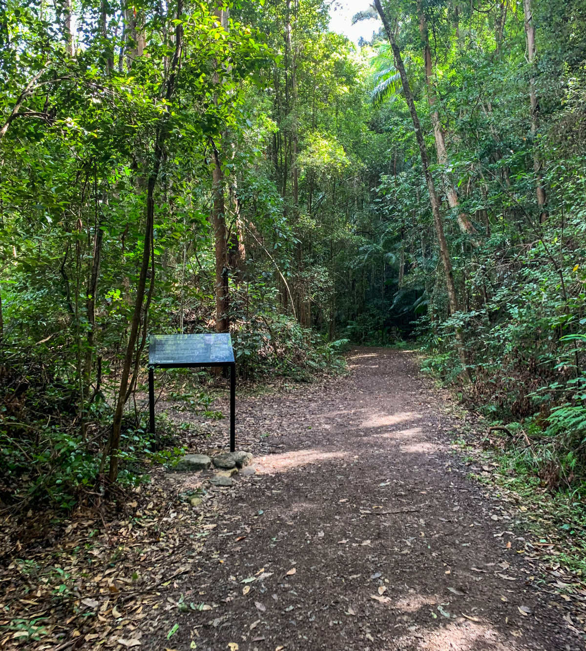
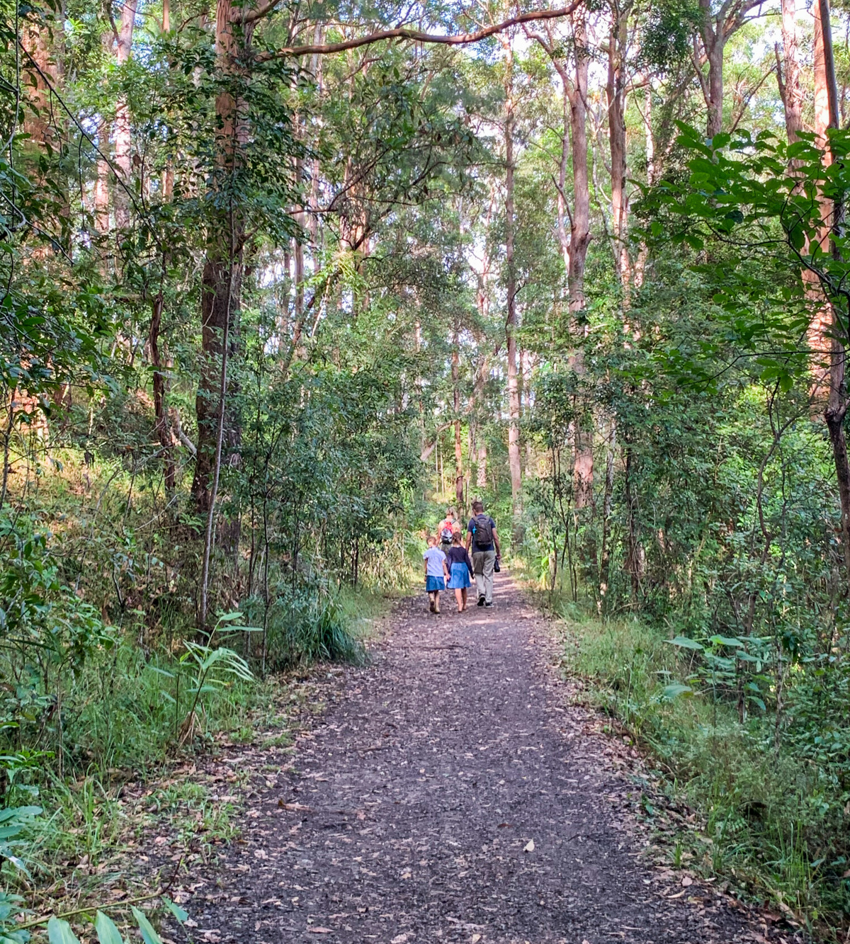
Suitable for walkers and families. The track is wheelchair accessible with a ramp to the trail, however there is a few rough spots along the gravel track.

HIGHLIGHTS
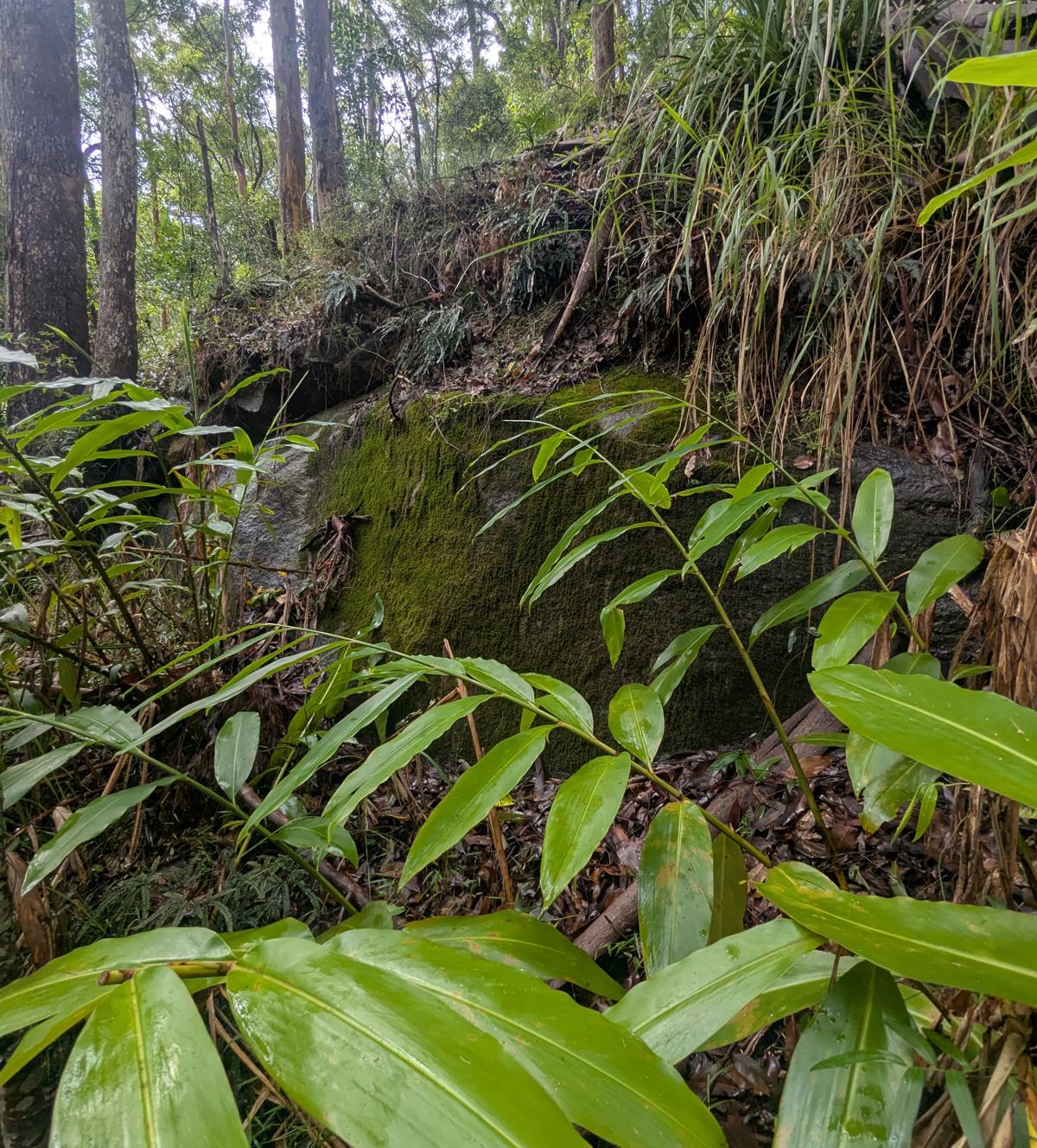
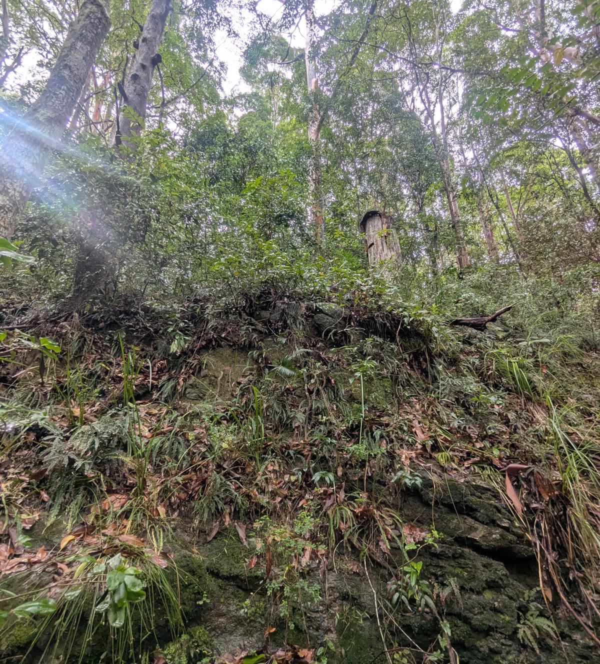
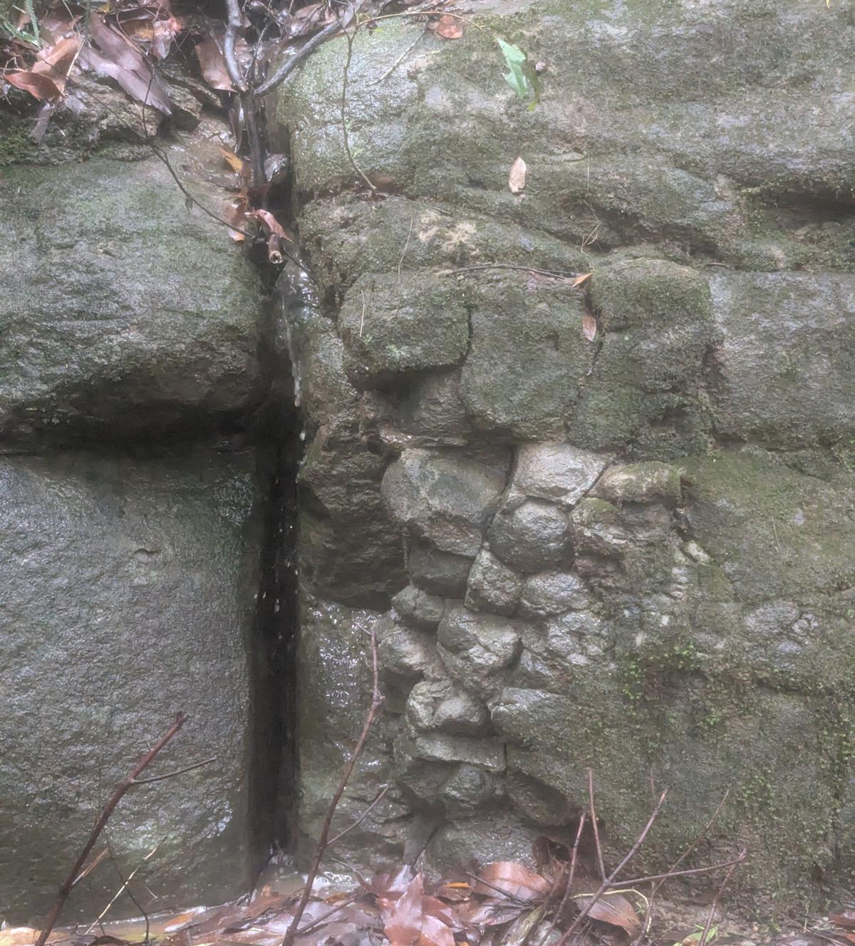
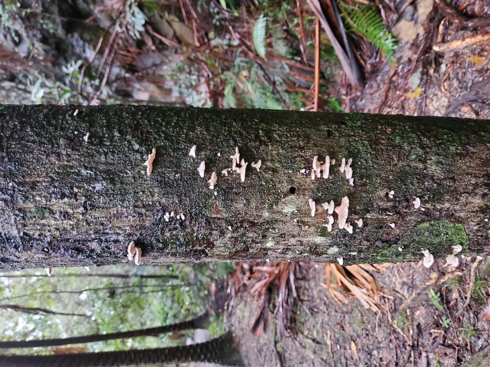
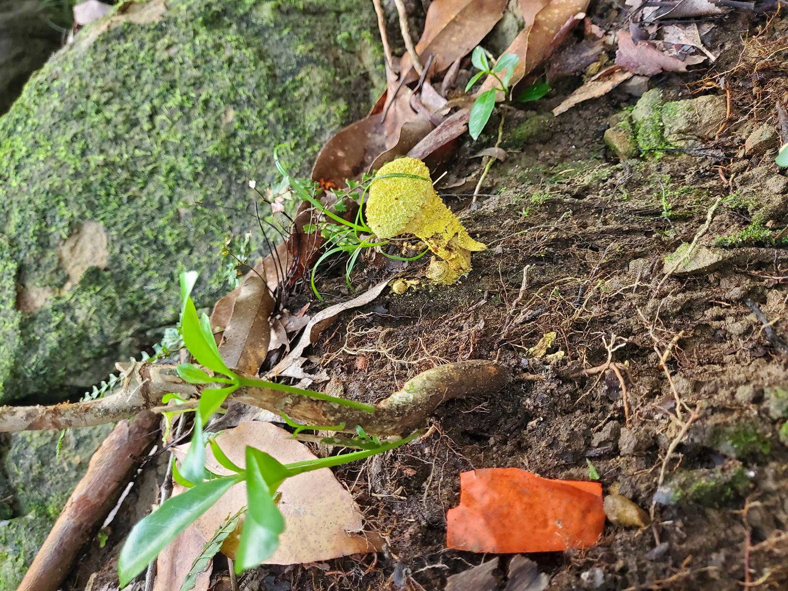
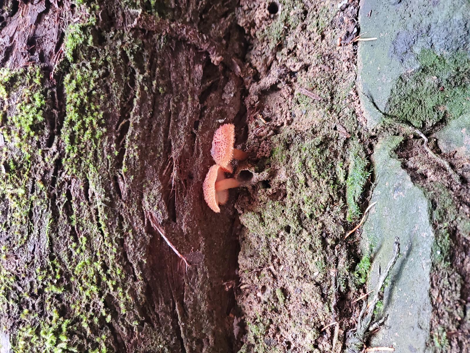
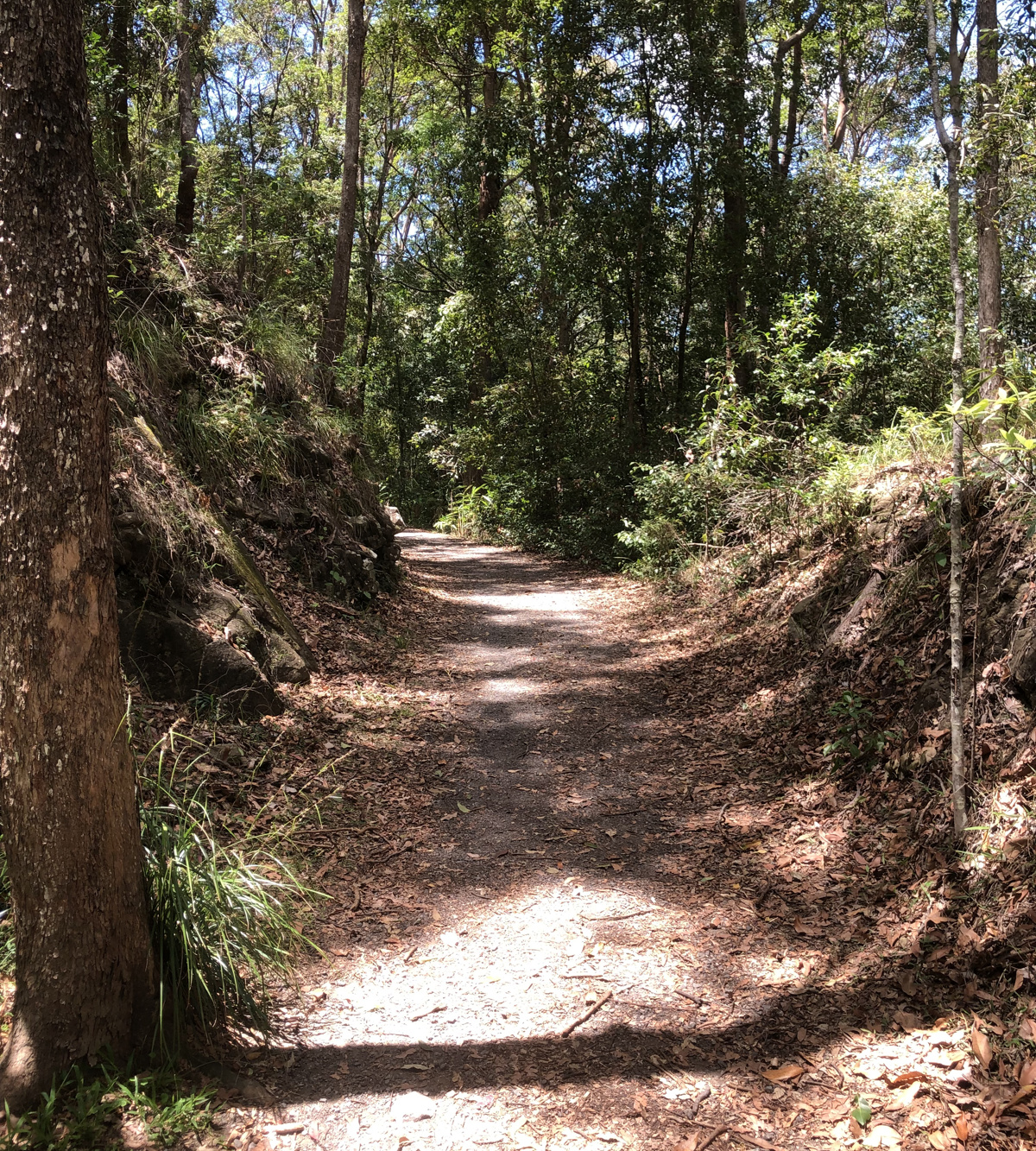
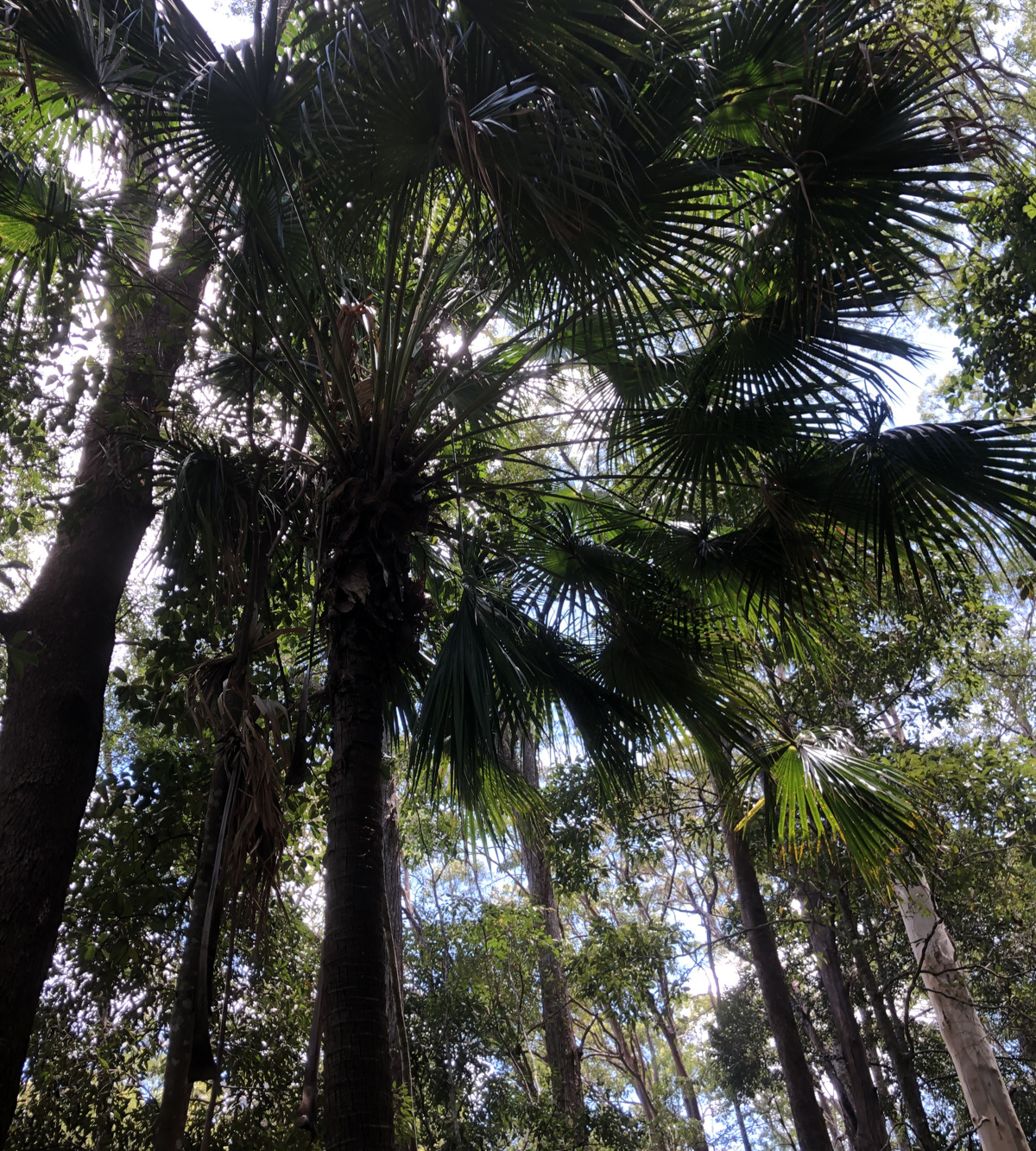
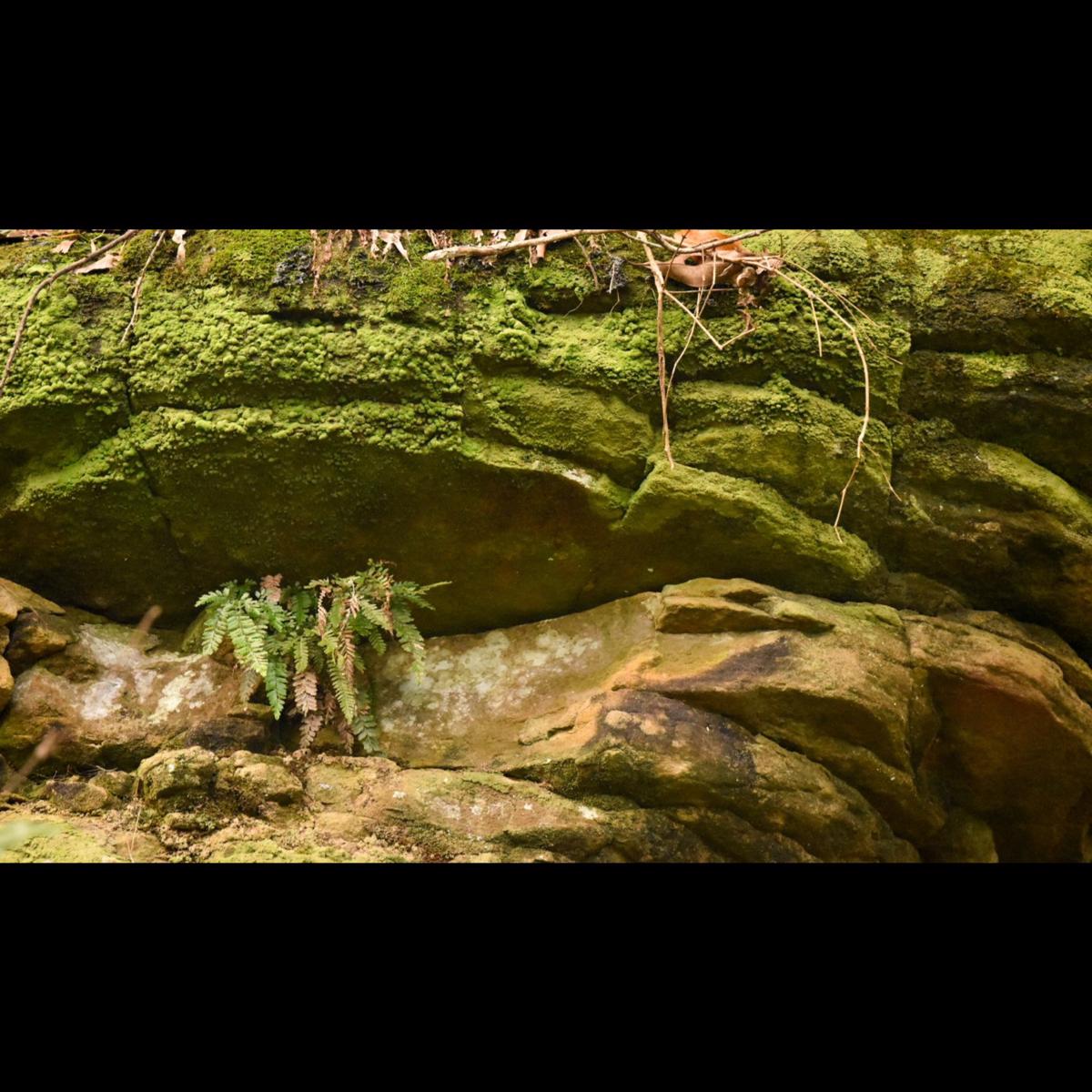
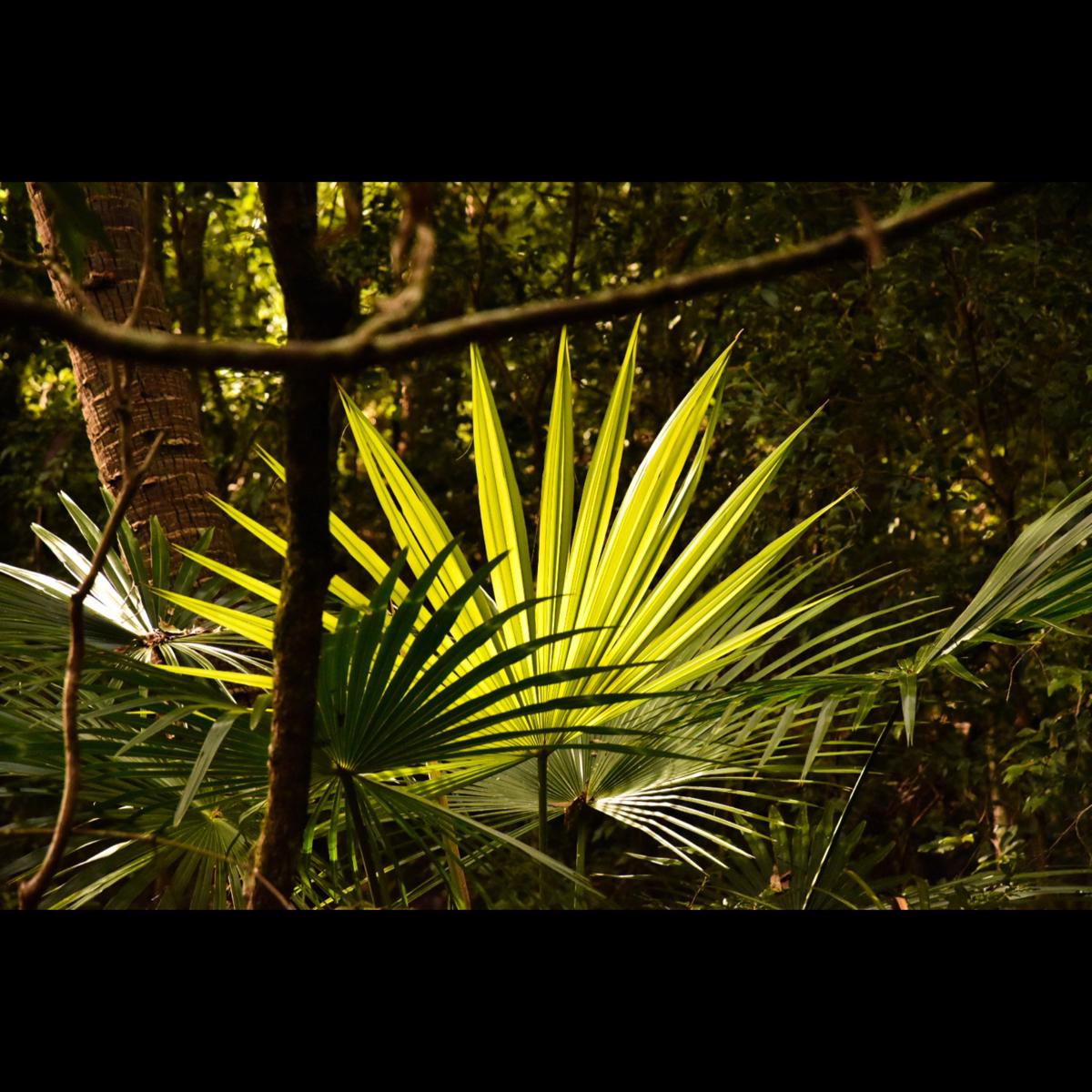
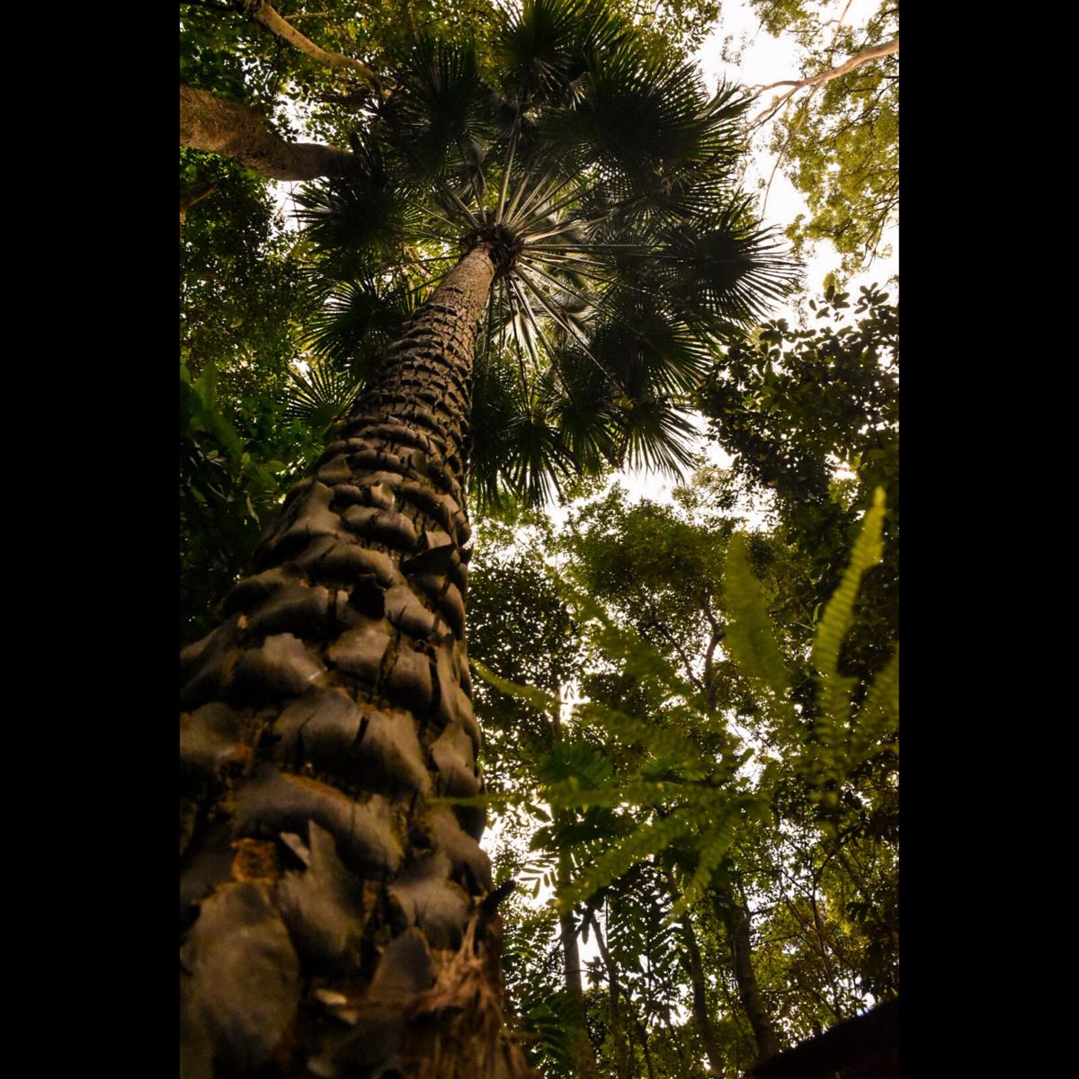
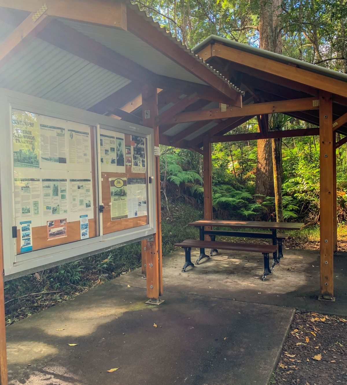
Take a walk back in time as you follow the track of the old Buderim-Palmwoods Tramway, with various information points along the way. It will transport your mind back to a time where this active rail connection was the spine of a growing community. At the same time the setting is beautiful with a natural environment that boasts towering trees, small mosses, and fern gullies. With a 2km space (4km return) flat track, this walk is a great hour or so spent exploring some of Buderim's local history.

AFTERWARDS
Pop into Buderim and enjoy one of the many cafes and dining establishments in the area. Alternatively, experience one of the other Buderim area walks listed on this site.

HOW TO GET THERE
To the starting point: Parking for this walk is fairly limited maybe about ,6-8 cars depending on how people park, and is on the comer of Mons Rd. & Telco Rd.
Limited park is available on the comer of Mons Road & Telco Road.

To the end point: The end point is the same as your starting point.

glossary button
Glossary
  • Icon showing this activity is suitable for wheelchairsSuitable for wheelchairs
  • Icon showing this activity is suitable for walkingSuitable for walking
  • Icon showing this activity is suitable for recreational cyclingSuitable for recreational cycling
  • Icon showing this activity is suitable for mountain bikingSuitable for mountain biking
  • Icon showing this activity is suitable for horse ridingSuitable for horse riding
  • Icon showing this activity is suitable for kayakingSuitable for kayaking
  • Icon showing this activity has drinking water availableDrinking water available
  • Icon showing this activity does not have drinking water availableNo drinking water available
  • Icon showing this activity has a barbeque on siteBarbeque on site
  • Icon showing this activity has a picnic table on sitePicnic table on site
  • Icon showing this activity has toilets on siteToilets on site
  • Icon showing fires are permitted at this activityFires permitted
  • Icon showing fires are prohibited at this activityFires prohibited
  • Icon showing camping is permitted at this activityCamping permitted
  • Icon showing camping is prohibited at this activityCamping prohibited
  • Suitable for walking Suitable for walking black lines Suitable for walking
  • No drinking water available No drinking water available No drinking water available
  • Fires prohibited Fires prohibited Fires prohibited
  • Camping prohibited Camping prohibited Camping prohibited
Write a review

Be the first to review this trail.

hazard icon

IN AN EMERGENCY DIAL '000'.

Always Adventure Safely!

  • Always follow any local signage, it contains key information and conditions can change at any time.
  • Use the trails with consideration for your abilities, be prepared for the adventure ahead:
    • Be aware of the weather conditions, found here: http://www.bom.gov.au/qld/.
    • Always wear appropriate clothing, focus on good footwear.
    • Always bring more water than you think you will need.
    • Be Sun Safe!
    • Always let someone know where you are going that isn’t going with you.
  • Just getting started try this site for good useful information: https://www.trailhiking.com.au/hike-safety/
  • Sunshine Coast Council does it’s best to maintain current information but things can change so always be aware that a trail may not be as listed in this guide, and report and issues via our feedback link.

Sunshine Coast Council

For any issues with this experience please contact:

Sunshine Coast Council via 07 5475 7272 or via e-mail: adventure@sunshinecoast.qld.gov.au

Nearby Trails

Trail Image for Road Cycle Route: Maroochydore Flat Road Loop
Difficult

Road Cycle Route: Maroochydore Flat Road Loop

Alexandra Headland
walking icon cycling icon
Trail type
difficulty icon
Skill Level

38.9km

Length
direction icon
Circuit
Trail Image for Road Cycle Route: SCC Big Loop
Difficult

Road Cycle Route: SCC Big Loop

Alexandra Headland
walking icon cycling icon
Trail type
difficulty icon
Skill Level

180.6km

Length
direction icon
Circuit
Trail Image for Road Cycle Route: Buderim Local Loop
Difficult

Road Cycle Route: Buderim Local Loop

Buderim
walking icon cycling icon
Trail type
difficulty icon
Skill Level

37.4km

Length
direction icon
One-way
Trail Image for Buderim Walks: Town Loop
Easy

Buderim Walks: Town Loop

Buderim
walking icon
Trail type
difficulty icon
Skill Level

3.7km

Length
direction icon
Circuit
Trail Image for Buderim Walks: Serenity Falls Walk
Easy

Buderim Walks: Serenity Falls Walk

Buderim
walking icon
Trail type
difficulty icon
Skill Level

2.0km

Length
direction icon
One-way

Share this trail

This action requires a login.
To continue, click on Login/Signup below.

Photo uploaded successfully, thank you.

Feedback / Suggest an Adventure

If you have any feedback on the site or any of the trails, please drop us a short email.

Have we missed something? Do you have an adventure to suggest? Fill in the suggestion form to let us know about it.