facebook
Image showing that the PDF download is in progress... PDF download in progress

Please wait...

Image showing a pink decorative paint splat
Image showing a green decorative paint splat
upload photo button
reviews buttonReviews view map buttonMap
view 3d map button3D Map
directions take me there buttonDirections
Save
PDF
Gpx File

Coastal Pathway: Mudjimba to Marcoola

Coastal Pathway: Mudjimba to Marcoola
Marcoola
walking icon walking icon black mountain biking icon mountain biking icon black
Trail type
difficulty icon
Skill Level
4.2km
One-way Length
direction icon direction icon black
One-way

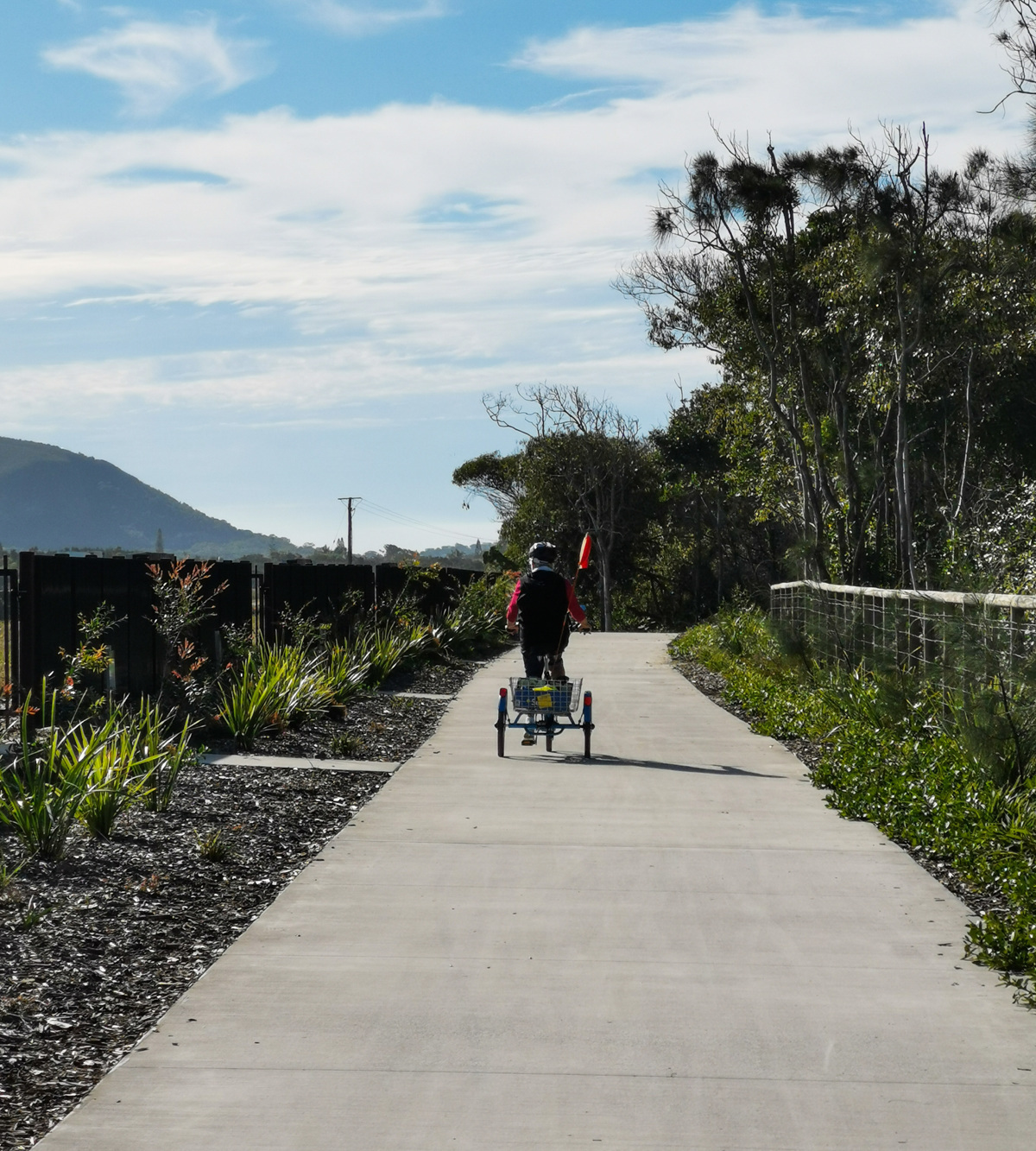
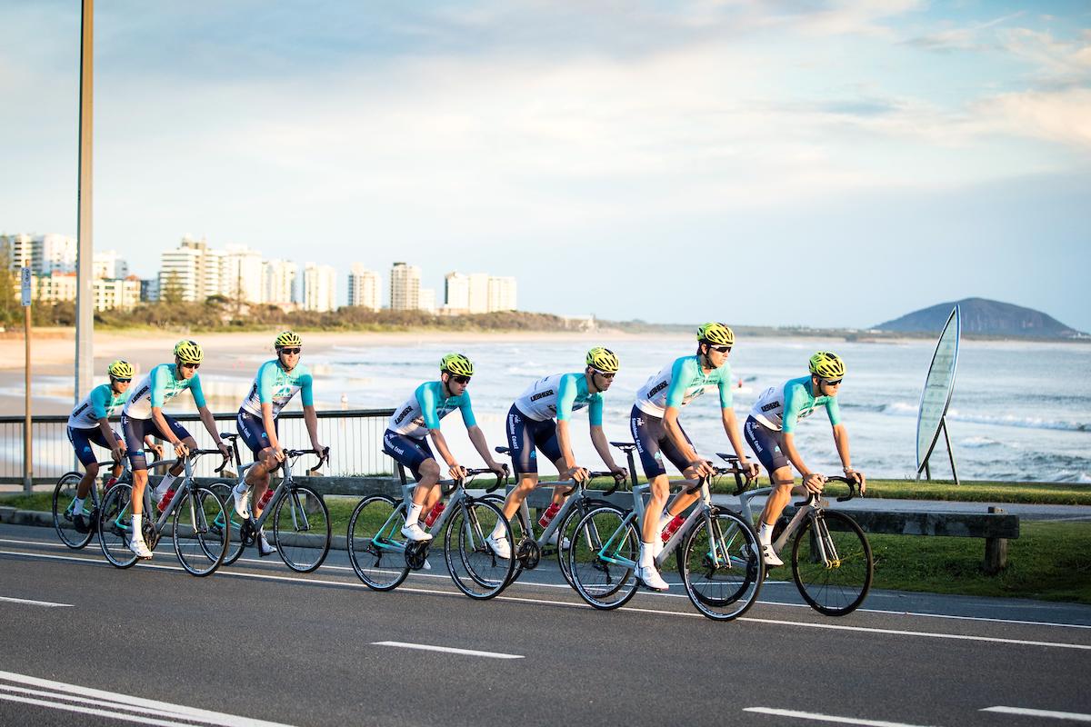
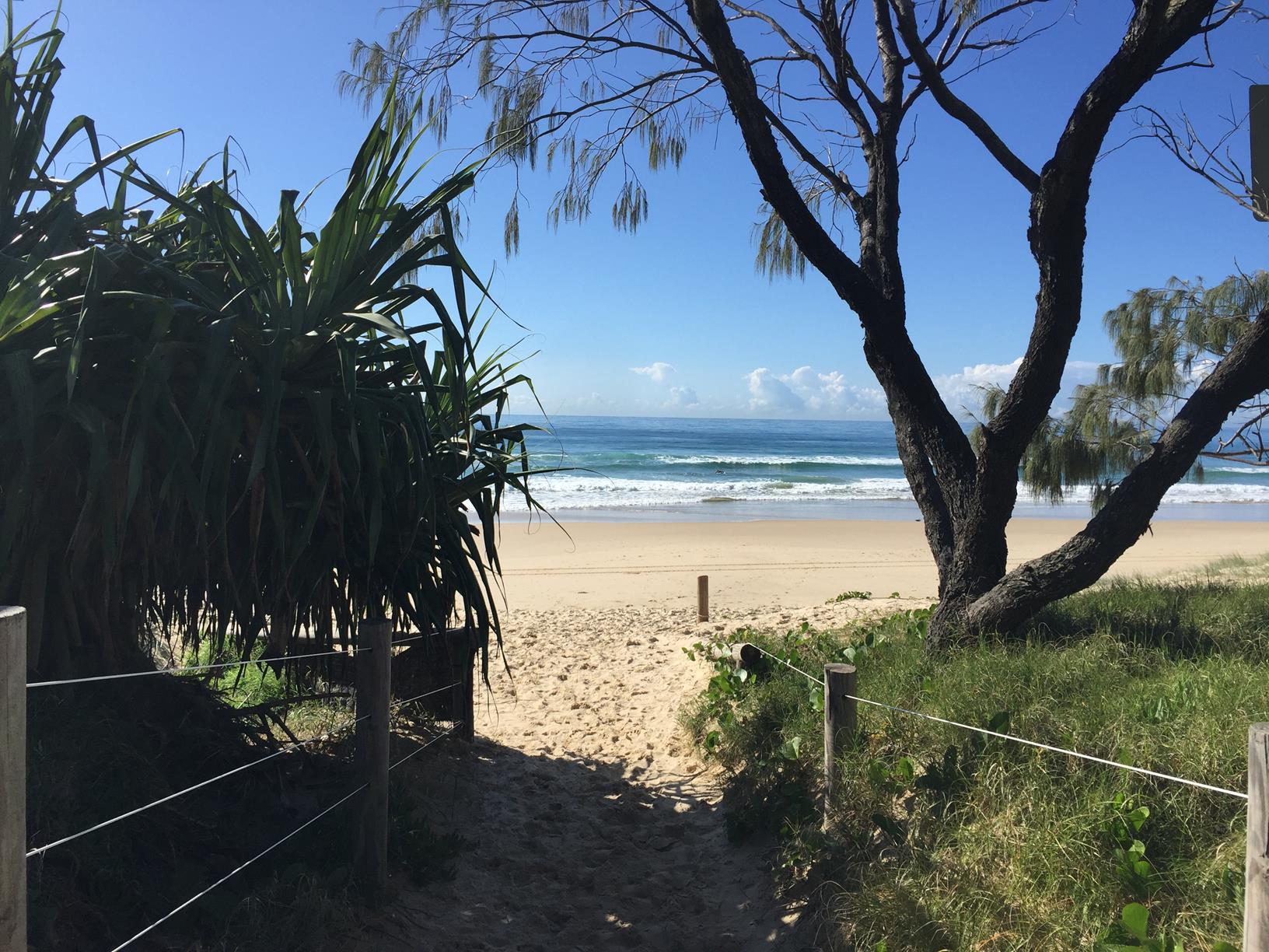
This section of the iconic Coastal Walk is a 4km path linking Mudjimba Beach to Marcoola Beach with multiple opportunities to stop, rest and refresh along the way.

SUITABLILITY
Suitable for older walkers or active families – younger children will need bikes or scooters if completing the full 4km (one way).

HIGHLIGHTS
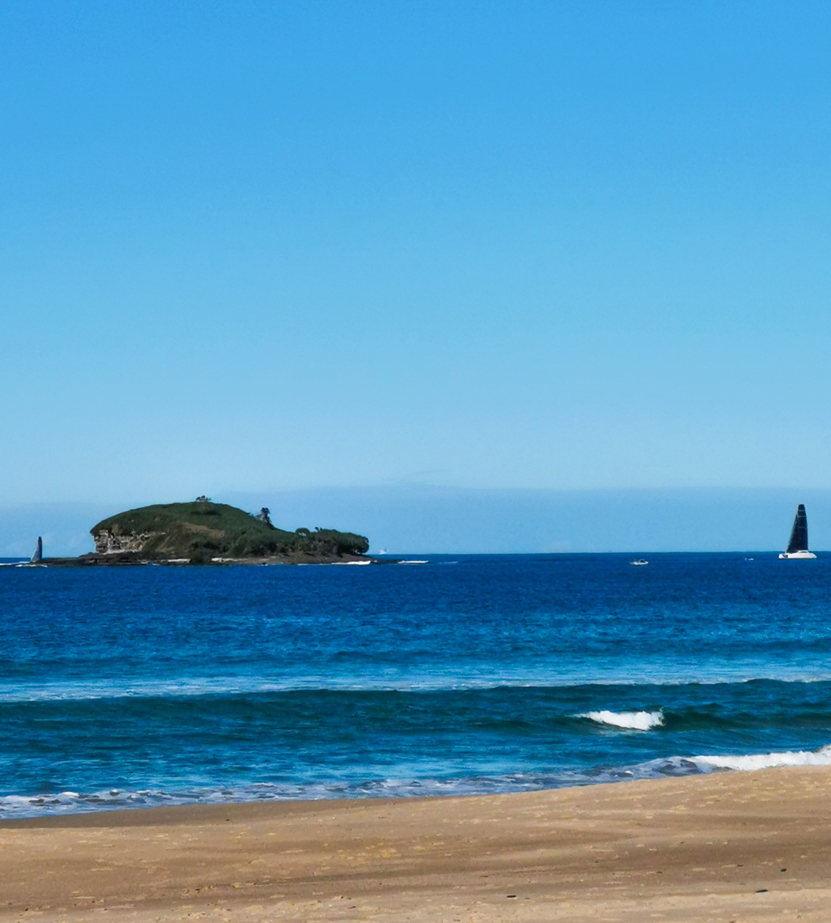
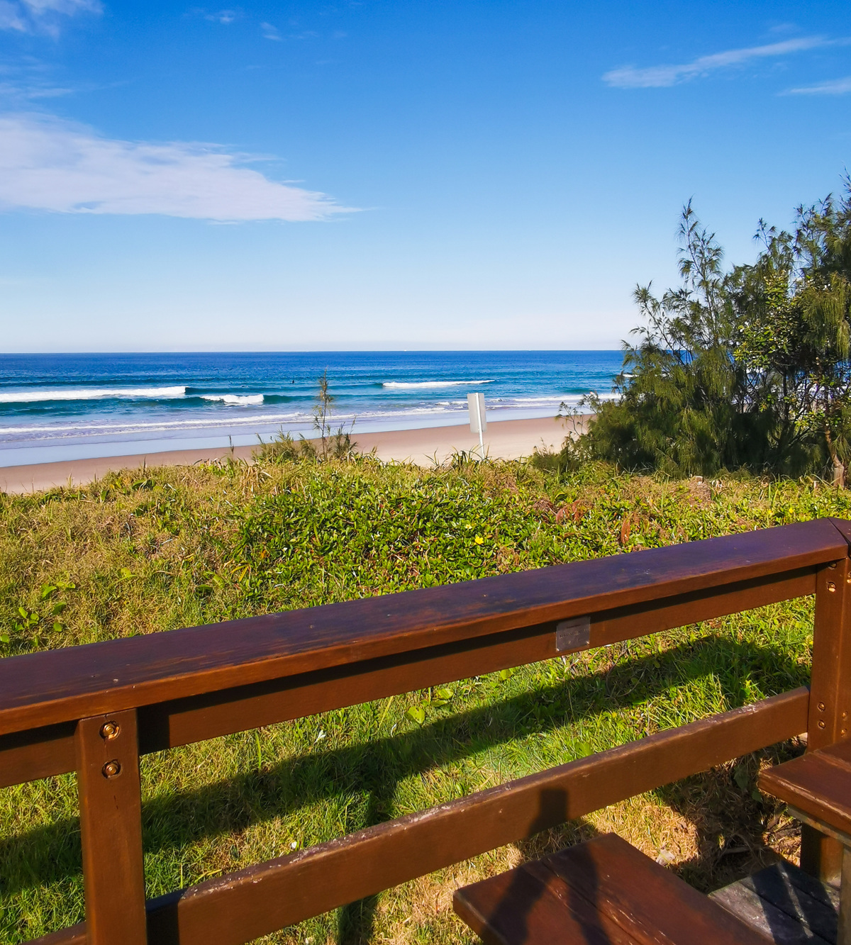
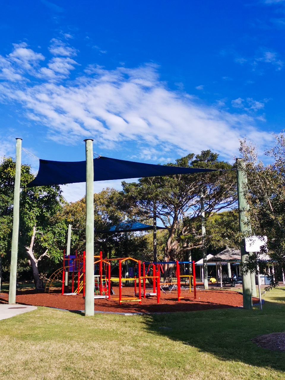
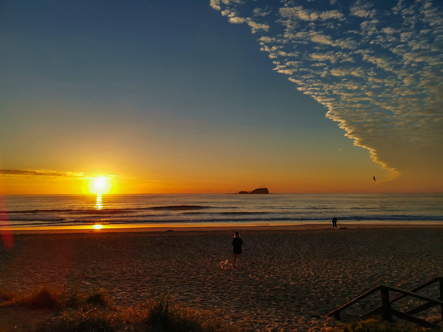
Sunrises and sunsets along this stretch of the coastline are beautiful, as views over Old Woman Island are spectacular. Popular with surfers, this section is usually less crowded than Alexandra Headland and Noosa. On Saturdays, Mudjimba Beach Surf Life Saving Club and park area is the starting point for Park Run members so avoid the early morning congestion between 6:30am – 7:30am. Enjoy the beautiful swarms of butterflies that harbour in the trees along the pathway during the autumn months. Both Mudjimba Beach and Marcoola Beach have excellent park facilities for children to enjoy and amenities. Local shops at each location are perfect for refreshments or a coffee stop.

AFTERWARDS
Take a dip in the ocean to cool off, especially deserved if you’ve done the path on foot.

HOW TO GET THERE
To the starting point: Mudjimba Beach is easily accessible form David Low Way along Mudjimba Beach Road. There is plenty of parking along the esplanade or in the beachside park and Life Saving area. Alternatively, you can start the walk at Marcoola – parking on the esplanade here is ample.
To the end point: The end point is the same as the starting point.

glossary button
Glossary
  • Icon showing this activity is suitable for wheelchairsSuitable for wheelchairs
  • Icon showing this activity is suitable for walkingSuitable for walking
  • Icon showing this activity is suitable for recreational cyclingSuitable for recreational cycling
  • Icon showing this activity is suitable for mountain bikingSuitable for mountain biking
  • Icon showing this activity is suitable for horse ridingSuitable for horse riding
  • Icon showing this activity is suitable for kayakingSuitable for kayaking
  • Icon showing this activity has drinking water availableDrinking water available
  • Icon showing this activity does not have drinking water availableNo drinking water available
  • Icon showing this activity has a barbeque on siteBarbeque on site
  • Icon showing this activity has a picnic table on sitePicnic table on site
  • Icon showing this activity has toilets on siteToilets on site
  • Icon showing fires are permitted at this activityFires permitted
  • Icon showing fires are prohibited at this activityFires prohibited
  • Icon showing camping is permitted at this activityCamping permitted
  • Icon showing camping is prohibited at this activityCamping prohibited
  • Suitable for walking Suitable for walking black lines Suitable for walking
  • Suitable for mountain biking Suitable for mountain biking Suitable for mountain biking
  • Drinking water available Drinking water available Drinking water available
  • barbeque on site barbeque on site Barbeque on site
  • Picnic table on site Picnic table on site Picnic table on site
  • toilets on site toilets on site Toilets on site
  • Fires prohibited Fires prohibited Fires prohibited
  • Camping prohibited Camping prohibited Camping prohibited
Write a review

Be the first to review this trail.

hazard icon

IN AN EMERGENCY DIAL '000'.

Always Adventure Safely!

  • Always follow any local signage, it contains key information and conditions can change at any time.
  • Use the trails with consideration for your abilities, be prepared for the adventure ahead:
    • Be aware of the weather conditions, found here: http://www.bom.gov.au/qld/.
    • Always wear appropriate clothing, focus on good footwear.
    • Always bring more water than you think you will need.
    • Be Sun Safe!
    • Always let someone know where you are going that isn’t going with you.
  • Just getting started try this site for good useful information: https://www.trailhiking.com.au/hike-safety/
  • Sunshine Coast Council does it’s best to maintain current information but things can change so always be aware that a trail may not be as listed in this guide, and report and issues via our feedback link.

Sunshine Coast Council

For any issues with this experience please contact:

Sunshine Coast Council via 07 5475 7272 or via e-mail: adventure@sunshinecoast.qld.gov.au

Nearby Trails

Trail Image for Road Cycle Route: SCC Big Loop
Difficult

Road Cycle Route: SCC Big Loop

Alexandra Headland
walking icon cycling icon
Trail type
difficulty icon
Skill Level

180.6km

Length
direction icon
Circuit
Trail Image for Road Cycle Route: Twin Waters Loop
Difficult

Road Cycle Route: Twin Waters Loop

Bli Bli
walking icon cycling icon
Trail type
difficulty icon
Skill Level

73.8km

Length
direction icon
Circuit
Trail Image for Road Cycle Route: Mooloolaba to Coolum
Difficult

Road Cycle Route: Mooloolaba to Coolum

Alexandra Headland
walking icon cycling icon
Trail type
difficulty icon
Skill Level

51.6km

Length
direction icon
One-way
Trail Image for Road Cycle Route: Mooloolaba to Mudjimba
Difficult

Road Cycle Route: Mooloolaba to Mudjimba

Alexandra Headland
walking icon cycling icon
Trail type
difficulty icon
Skill Level

31.4km

Length
direction icon
One-way
Trail Image for Old Woman Island Paddle
Difficult

Old Woman Island Paddle

canoeing icon
Trail type
difficulty icon
Skill Level

2.6km

Length
direction icon
One-way

Share this trail

This action requires a login.
To continue, click on Login/Signup below.

Photo uploaded successfully, thank you.

Feedback / Suggest an Adventure

If you have any feedback on the site or any of the trails, please drop us a short email.

Have we missed something? Do you have an adventure to suggest? Fill in the suggestion form to let us know about it.