facebook
Image showing that the PDF download is in progress... PDF download in progress

Please wait...

Image showing a pink decorative paint splat
Image showing a green decorative paint splat
upload photo button
reviews buttonReviews view map buttonMap
view 3d map button3D Map
directions take me there buttonDirections
Save
PDF
Gpx File

Olsen Mill Park

Olsen Mill Park
Eudlo
walking icon walking icon black cycling icon cycling icon black
Trail type
difficulty icon
Skill Level
0.5km
Length
direction icon direction icon black
Circuit

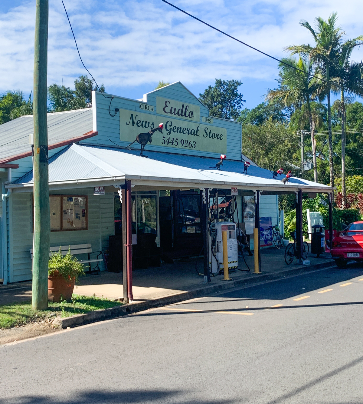
Take a lovely drive through the countryside to Eudlo.

SUITABILITY
Suitable for walkers and families.

HIGHLIGHTS
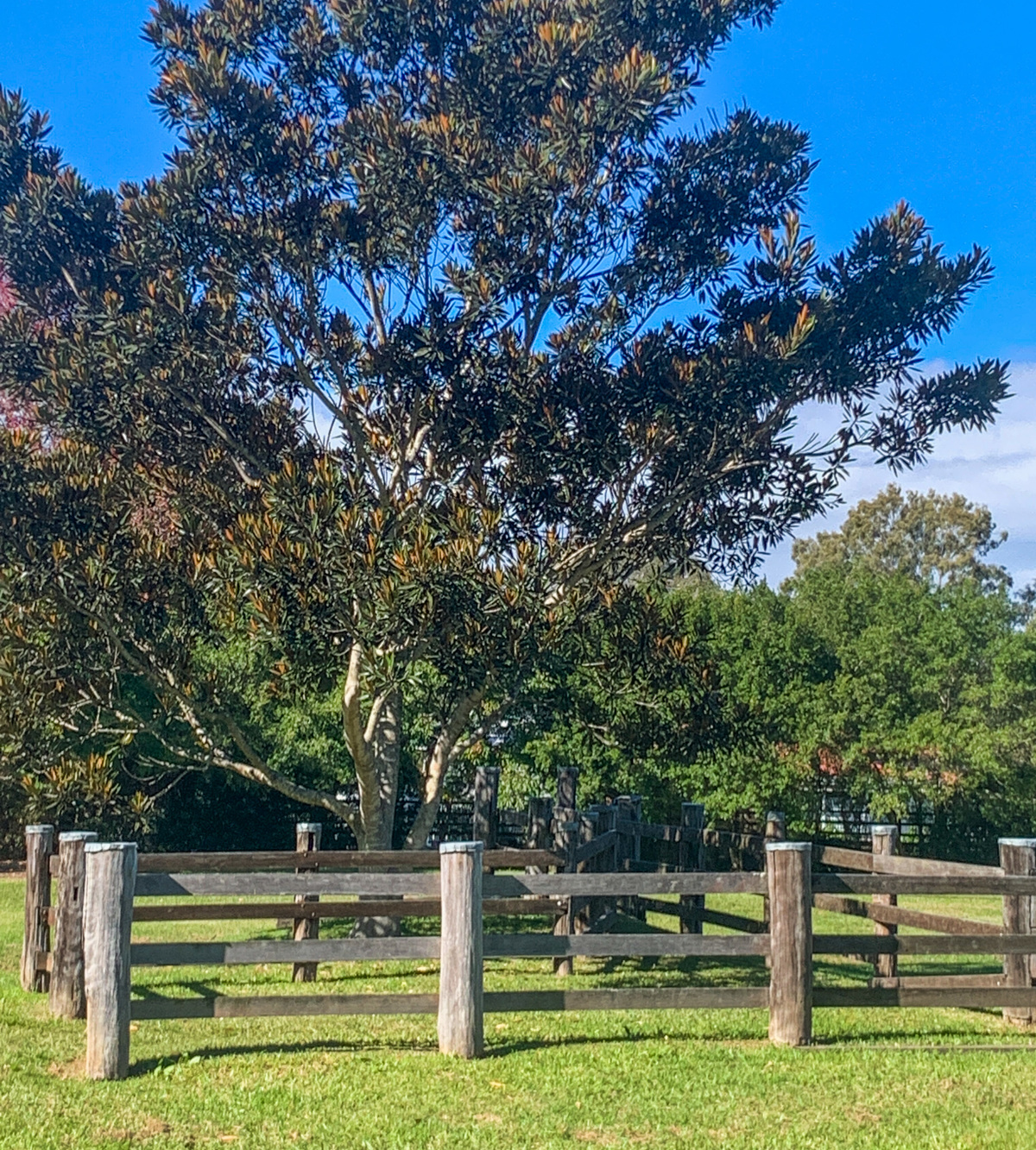
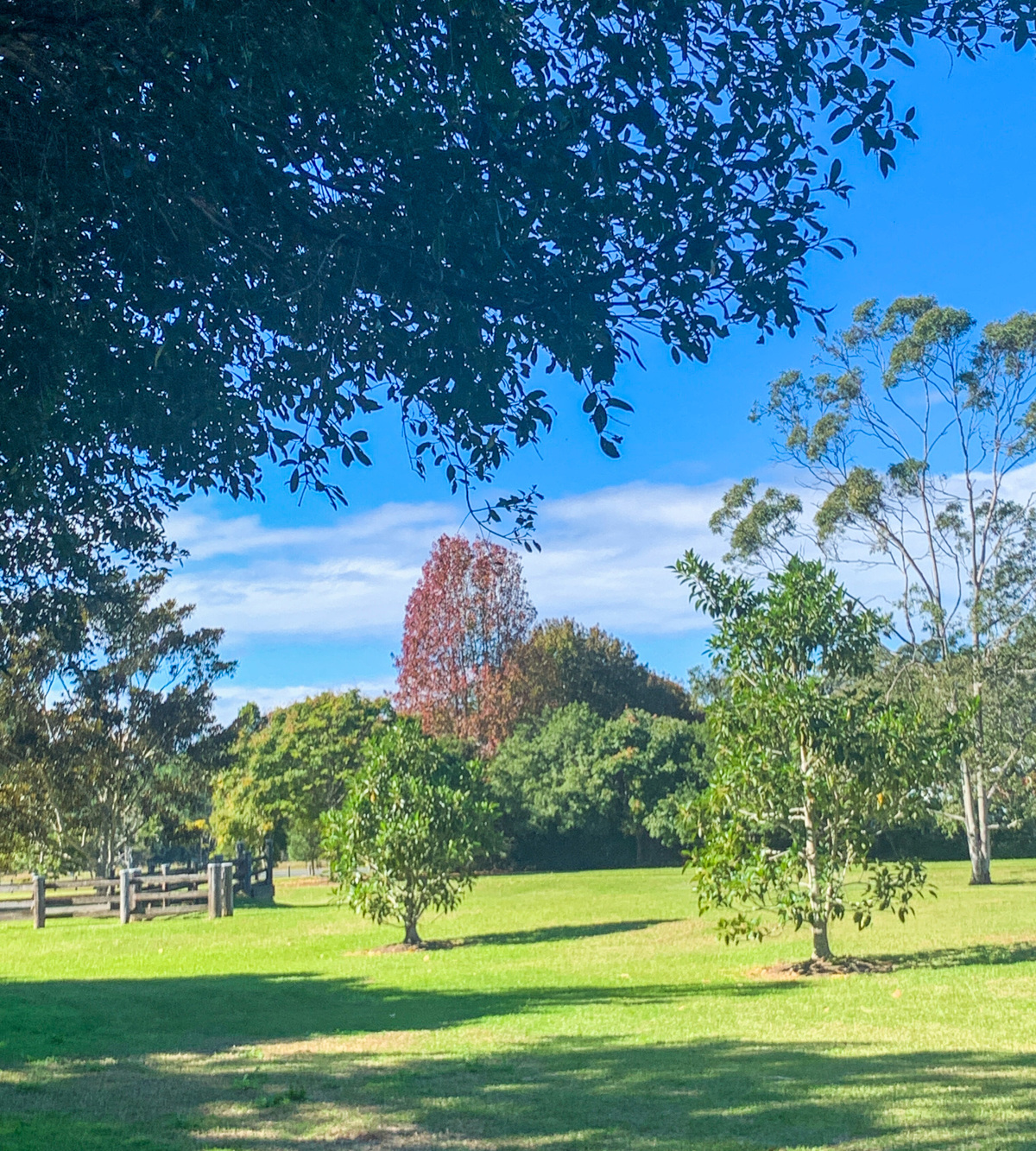
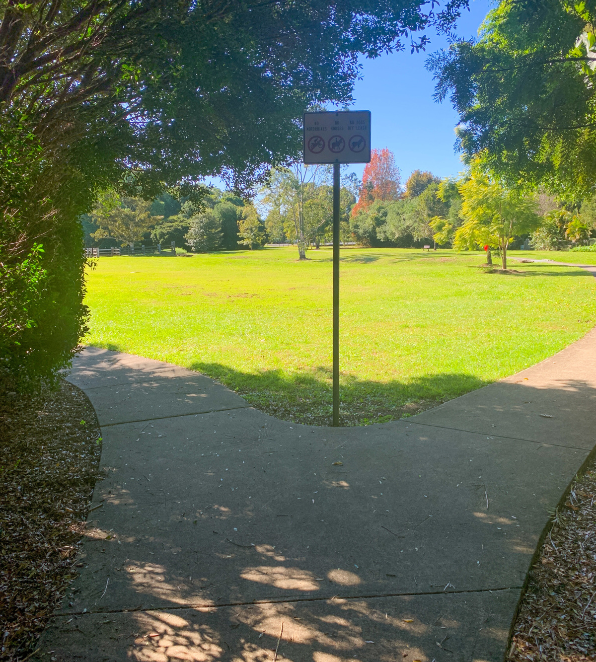
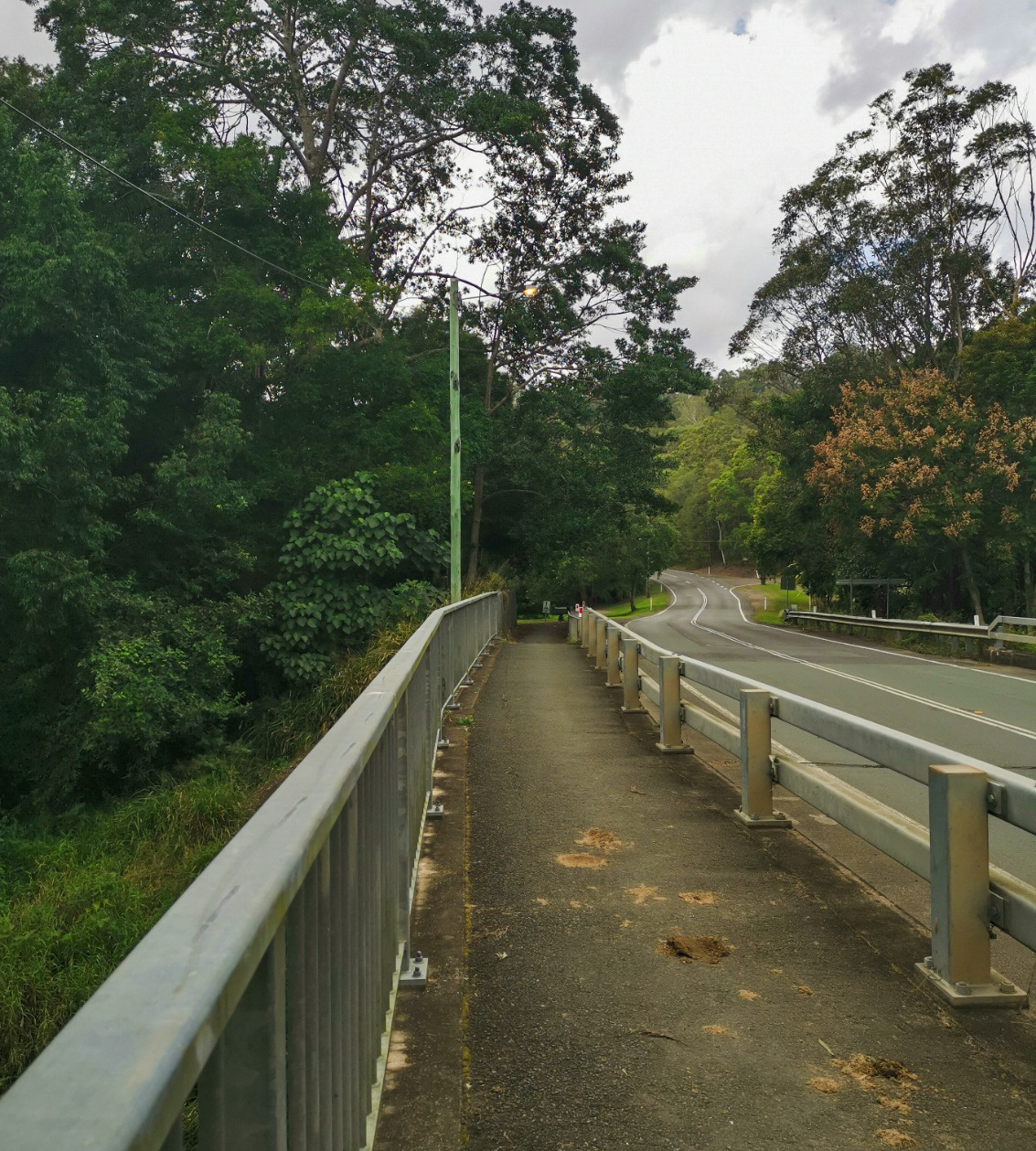
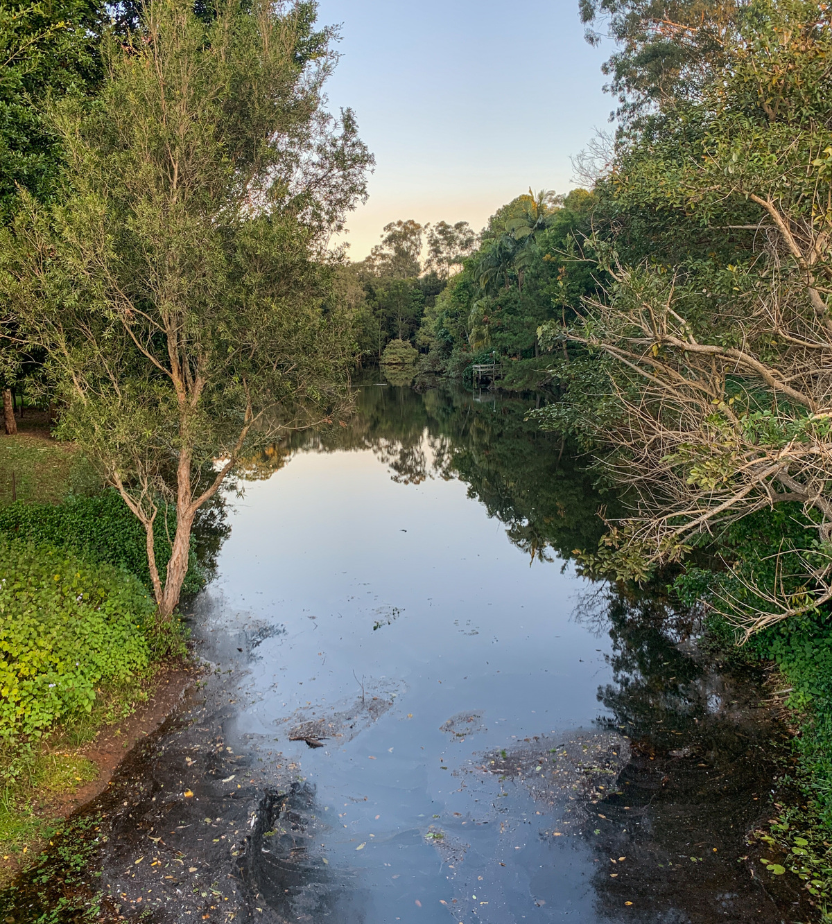
This large parkland is located on the banks of Eudlo Creek and is named after the Olsen Mill, which was destroyed by fire in 2013 – a significant piece of Sunshine Coast history. The timber industry was the means of livelihood for the early settlers, who either treated or railed large quantities of timber from the Blackall Range.
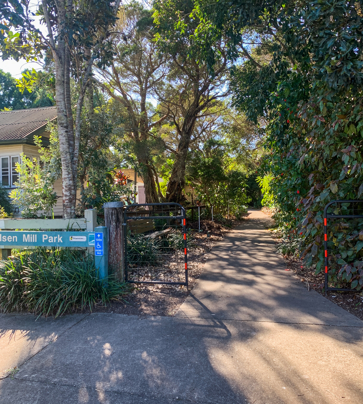
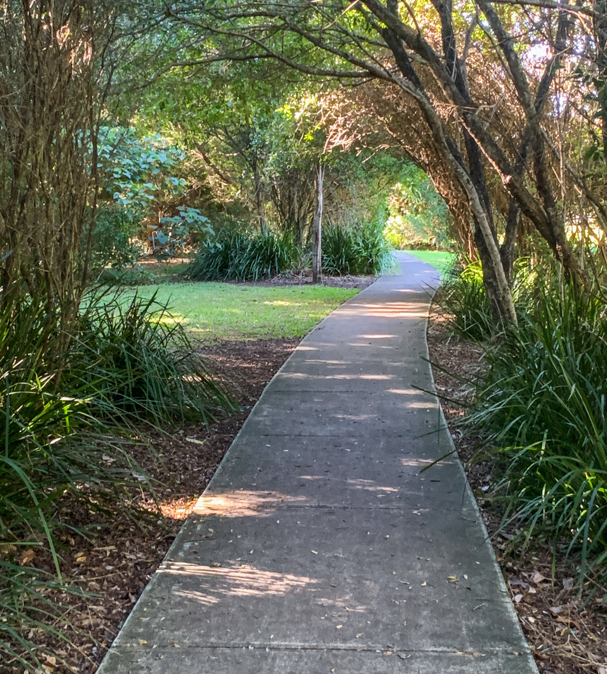
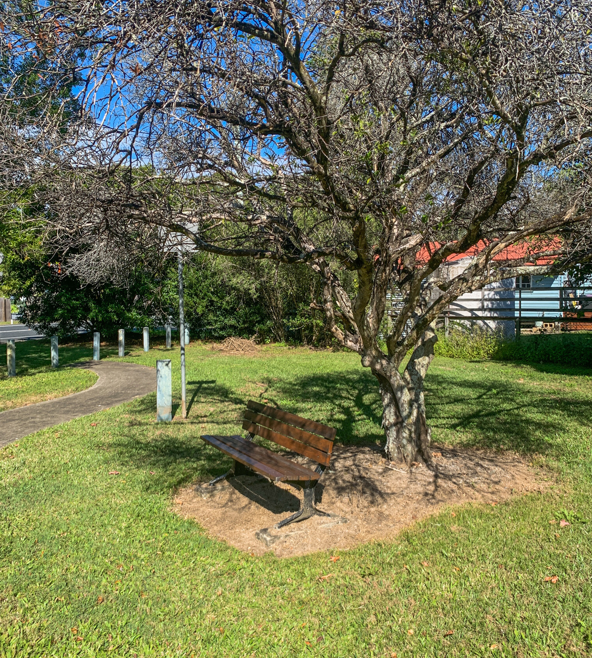
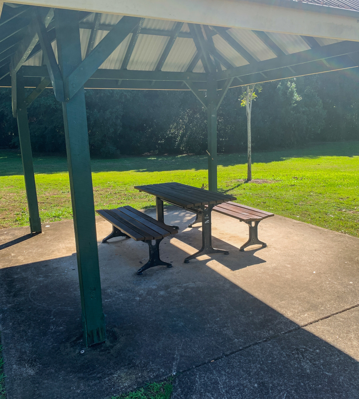
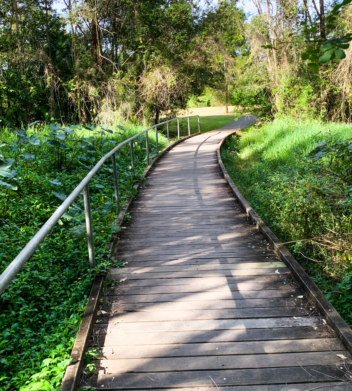
The large grassed area is circled by a 500m pathway with remnant cattle holding yards located near the centre, along with a picnic shelter and park seating.
The peace and quiet of the parkland will certainly see you coming back again.

AFTERWARDS
Spent some time in the small rural village be enjoying the facilities of the Eudlo Skate Park, located opposite the local shop and post office, and adjacent to the tennis courts and railway station. The park not only provides skaters, bladders and bikers with plenty of challenges, but has a playground, picnic shelter, BBQ and amenities for the whole family to enjoy. Nestled in the countryside, this truly is a hidden gem of the Sunshine Coast.

HOW TO GET THERE
To the starting point: The entrance to Olsen Mill Park is just near the Post Office in the main street od Eudlo. Travelling North or South on the Bruce Highway, take the exit to Tanawha Tourist Drive, then turn into Ilkley Road and continue along this stretch of road (turns into Anzac Road) until you reach Rosebed street – the main street of Eudlo. Turn right and park anywhere along the main street.
To the end point: The end point being the same as your starting point.


glossary button
Glossary
  • Icon showing this activity is suitable for wheelchairsSuitable for wheelchairs
  • Icon showing this activity is suitable for walkingSuitable for walking
  • Icon showing this activity is suitable for recreational cyclingSuitable for recreational cycling
  • Icon showing this activity is suitable for mountain bikingSuitable for mountain biking
  • Icon showing this activity is suitable for horse ridingSuitable for horse riding
  • Icon showing this activity is suitable for kayakingSuitable for kayaking
  • Icon showing this activity has drinking water availableDrinking water available
  • Icon showing this activity does not have drinking water availableNo drinking water available
  • Icon showing this activity has a barbeque on siteBarbeque on site
  • Icon showing this activity has a picnic table on sitePicnic table on site
  • Icon showing this activity has toilets on siteToilets on site
  • Icon showing fires are permitted at this activityFires permitted
  • Icon showing fires are prohibited at this activityFires prohibited
  • Icon showing camping is permitted at this activityCamping permitted
  • Icon showing camping is prohibited at this activityCamping prohibited
  • Suitable for walking Suitable for walking black lines Suitable for walking
  • Suitable for recreational cycling Suitable for recreational cycling Suitable for recreational cycling
  • No drinking water available No drinking water available No drinking water available
  • Picnic table on site Picnic table on site Picnic table on site
  • Fires prohibited Fires prohibited Fires prohibited
  • Camping prohibited Camping prohibited Camping prohibited
Write a review

Be the first to review this trail.

hazard icon

IN AN EMERGENCY DIAL '000'.

Always Adventure Safely!

  • Always follow any local signage, it contains key information and conditions can change at any time.
  • Use the trails with consideration for your abilities, be prepared for the adventure ahead:
    • Be aware of the weather conditions, found here: http://www.bom.gov.au/qld/.
    • Always wear appropriate clothing, focus on good footwear.
    • Always bring more water than you think you will need.
    • Be Sun Safe!
    • Always let someone know where you are going that isn’t going with you.
  • Just getting started try this site for good useful information: https://www.trailhiking.com.au/hike-safety/
  • Sunshine Coast Council does it’s best to maintain current information but things can change so always be aware that a trail may not be as listed in this guide, and report and issues via our feedback link.

Sunshine Coast Council

For any issues with this experience please contact:

Sunshine Coast Council via 07 5475 7272 or via e-mail: adventure@sunshinecoast.qld.gov.au

Nearby Trails

Trail Image for Road Cycle Route: Buderim Local Loop
Difficult

Road Cycle Route: Buderim Local Loop

Buderim
walking icon cycling icon
Trail type
difficulty icon
Skill Level

37.4km

Length
direction icon
One-way
Trail Image for Mooloolah Valley Cycle Circuit
null

Mooloolah Valley Cycle Circuit

Mooloolah Valley
walking icon mountain biking icon
Trail type
difficulty icon
Skill Level

15.4km

Length
direction icon
Circuit
Trail Image for Road Cycle Route: SCC Big Loop
Difficult

Road Cycle Route: SCC Big Loop

Alexandra Headland
walking icon cycling icon
Trail type
difficulty icon
Skill Level

180.6km

Length
direction icon
Circuit
Trail Image for Palmwoods Town Walk
Easy

Palmwoods Town Walk

Palmwoods
walking icon cycling icon
Trail type
difficulty icon
Skill Level

2.0km

Length
direction icon
One-way
Trail Image for Federation Park Circuit
Easy

Federation Park Circuit

Palmwoods
walking icon cycling icon
Trail type
difficulty icon
Skill Level

0.8km

Length
direction icon
Circuit

Share this trail

This action requires a login.
To continue, click on Login/Signup below.

Photo uploaded successfully, thank you.

Feedback / Suggest an Adventure

If you have any feedback on the site or any of the trails, please drop us a short email.

Have we missed something? Do you have an adventure to suggest? Fill in the suggestion form to let us know about it.