facebook
Image showing that the PDF download is in progress... PDF download in progress

Please wait...

Image showing a pink decorative paint splat
Image showing a green decorative paint splat
upload photo button
reviews buttonReviews view map buttonMap
view 3d map button3D Map
directions take me there buttonDirections
Save
PDF
Gpx File

Twin Waters Paddle

Twin Waters Paddle
Mudjimba
canoe icon canoe icon black
Trail type
difficulty icon
Skill Level
5.8km
Length
direction icon direction icon black
Circuit

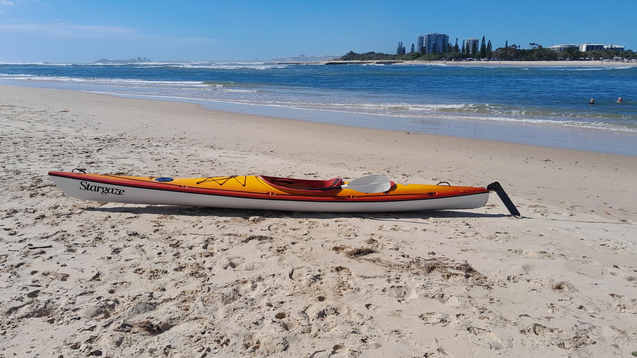
An easy 7km paddle around the canals of Twin Waters.

SUITABILITY
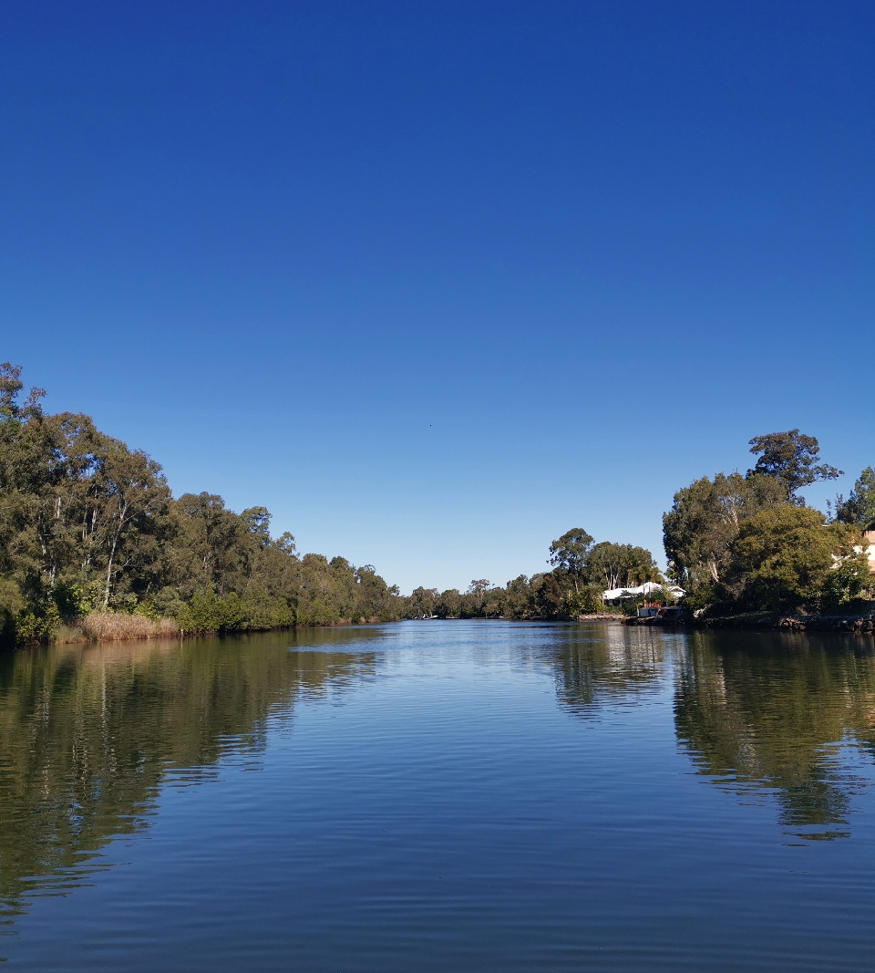
Suitable for paddlers of all age groups and abilities. The canals are usually calm, although the main section can be choppy in windy weather.

HIGHLIGHTS
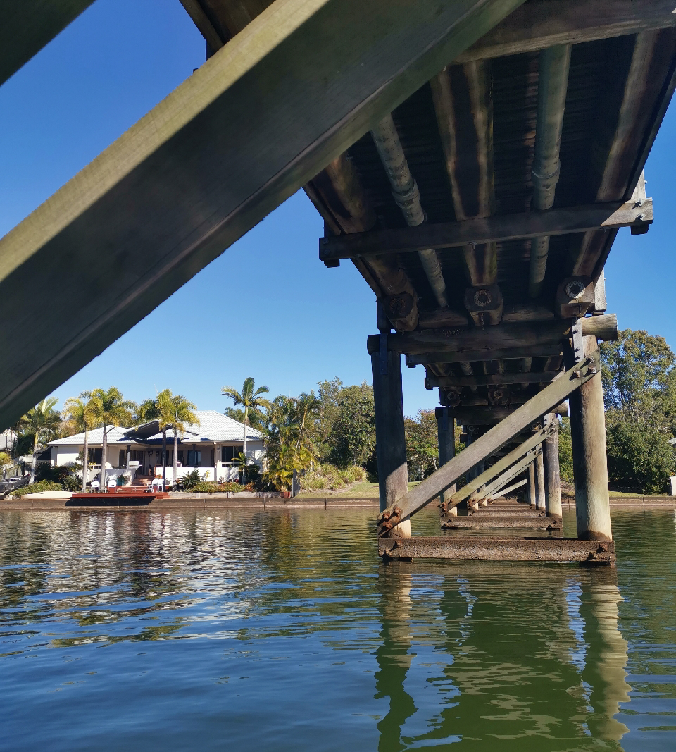
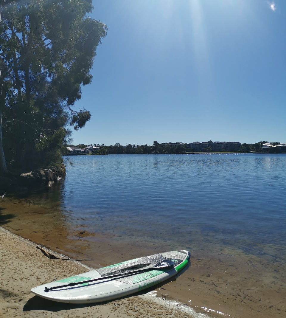
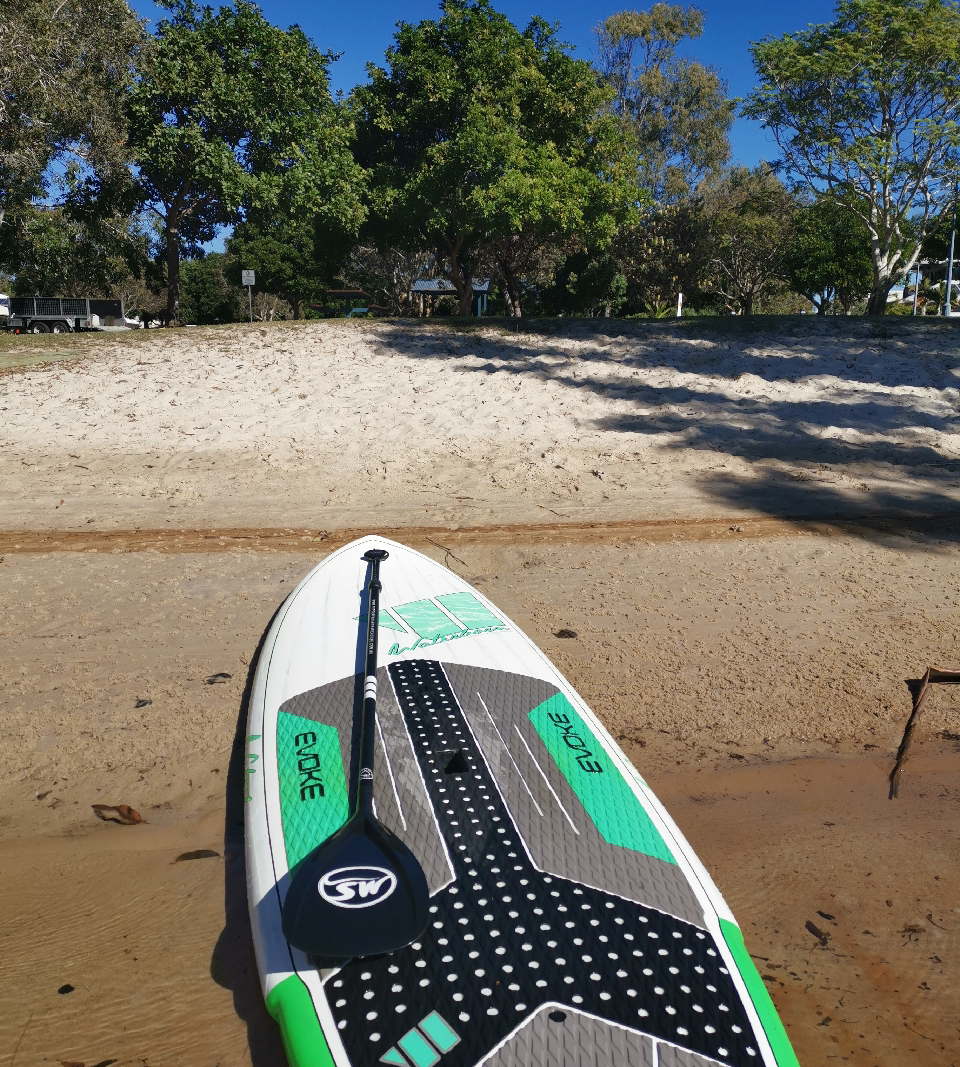
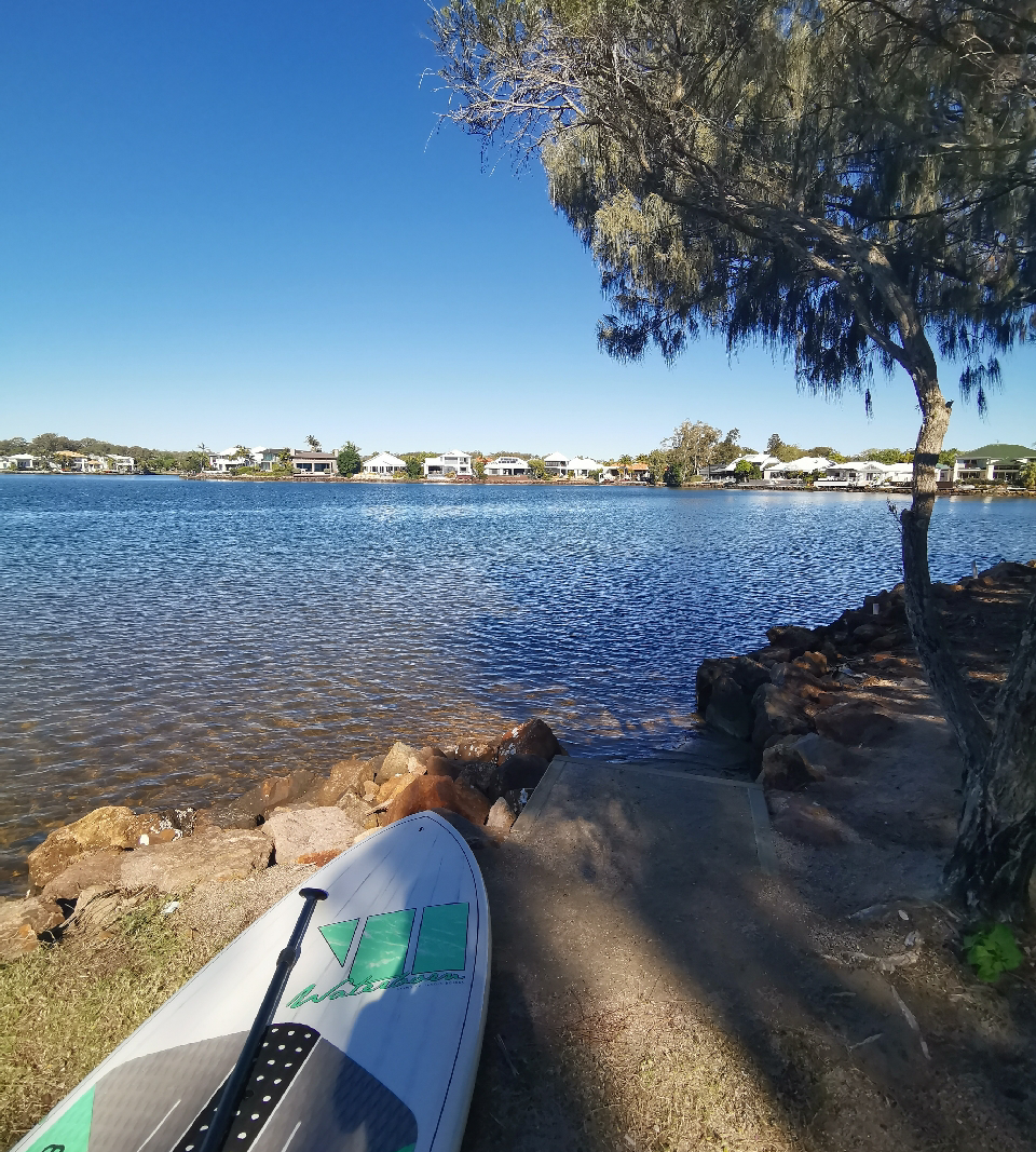
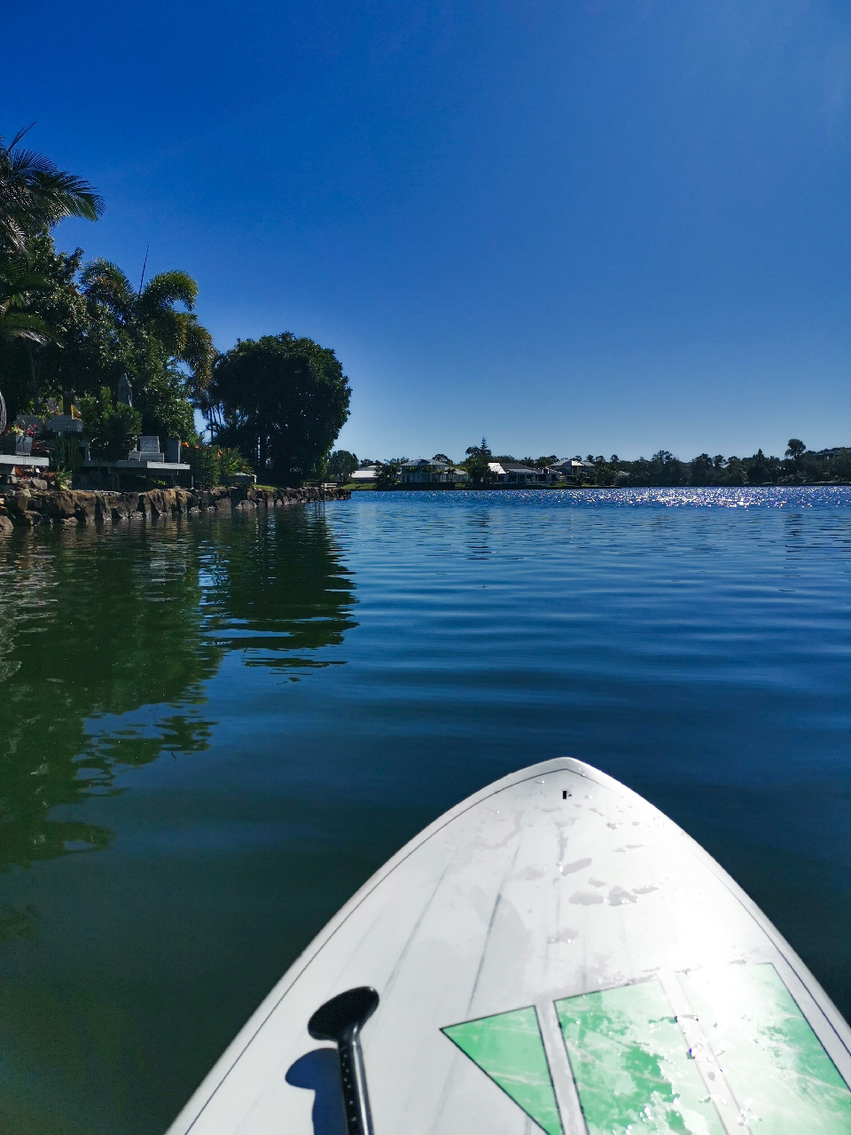
Explore the vast canal system of Twin Waters and see some truly magnificent waterfront homes on your journey. There are multiple points to pull up and take a break from paddling. Small parks and playgrounds are scattered along the foreshore areas – some have sandy beaches, drinking taps and BBQ facilities.
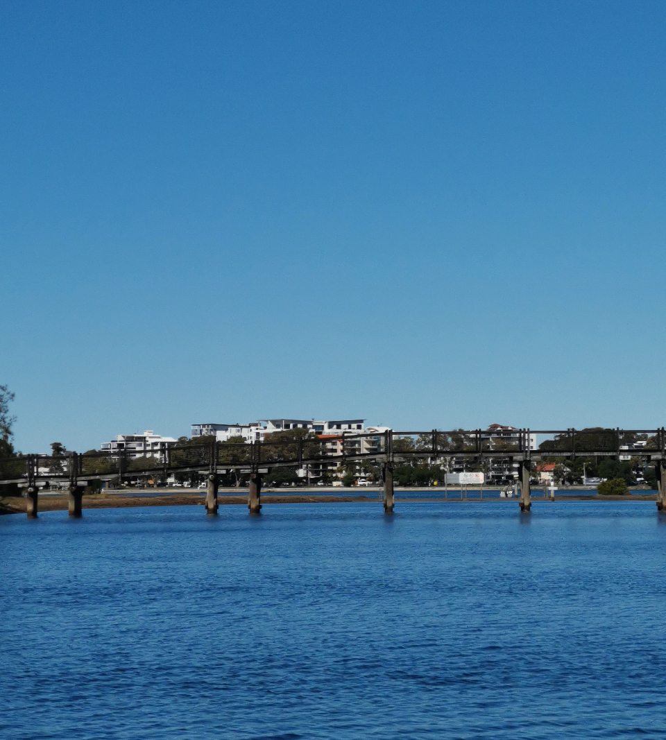
If you plan to do the full 7km circuit then give yourself at least 2 hours and try not to miss the longest, tranquil leg of the trail which flows past Ocean Road and under the bridge into Pacific Paradise and the back of Twin Waters Golf Club. This section is fringed by bushland which is home to many water birds.
The starting point on Lake View Drive also has a tap to wash down when you return to your car.

AFTERWARDS
You are not far from the Twin Waters Novotel Resort or Shopping Village on Ocean Drive. Here you will find a café and restaurant.
Bill Kear Waterway is another paddle option nearby or head to Mudjimba Beach for a dip in the ocean as swimming in the canals is not advised.

HOW TO GET THERE
To the starting point: The circuit can be accessed from multiple locations depending on where you want to park. Turn off David Low Way into the residential area off Ocean Drive and take a left turn onto Twin Waters Drive. Head straight down to the bridge and turn left onto Lake View Drive. Parking is provided off road near a park. There are steps leading down to the water.

To the end point: The end point is the same as the starting point.

glossary button
Glossary
  • Icon showing this activity is suitable for wheelchairsSuitable for wheelchairs
  • Icon showing this activity is suitable for walkingSuitable for walking
  • Icon showing this activity is suitable for recreational cyclingSuitable for recreational cycling
  • Icon showing this activity is suitable for mountain bikingSuitable for mountain biking
  • Icon showing this activity is suitable for horse ridingSuitable for horse riding
  • Icon showing this activity is suitable for kayakingSuitable for kayaking
  • Icon showing this activity has drinking water availableDrinking water available
  • Icon showing this activity does not have drinking water availableNo drinking water available
  • Icon showing this activity has a barbeque on siteBarbeque on site
  • Icon showing this activity has a picnic table on sitePicnic table on site
  • Icon showing this activity has toilets on siteToilets on site
  • Icon showing fires are permitted at this activityFires permitted
  • Icon showing fires are prohibited at this activityFires prohibited
  • Icon showing camping is permitted at this activityCamping permitted
  • Icon showing camping is prohibited at this activityCamping prohibited
  • suitable for kayaking suitable for kayaking Suitable for kayaking
  • Drinking water available Drinking water available Drinking water available
  • barbeque on site barbeque on site Barbeque on site
  • Picnic table on site Picnic table on site Picnic table on site
  • Fires prohibited Fires prohibited Fires prohibited
  • Camping prohibited Camping prohibited Camping prohibited
Write a review

Be the first to review this trail.

hazard icon

IN AN EMERGENCY DIAL '000'.

Always Adventure Safely!

  • Always follow any local signage, it contains key information and conditions can change at any time.
  • Use the trails with consideration for your abilities, be prepared for the adventure ahead:
    • Be aware of the weather conditions, found here: http://www.bom.gov.au/qld/.
    • Always wear appropriate clothing, focus on good footwear.
    • Always bring more water than you think you will need.
    • Be Sun Safe!
    • Always let someone know where you are going that isn’t going with you.
  • Just getting started try this site for good useful information: https://www.trailhiking.com.au/hike-safety/
  • Sunshine Coast Council does it’s best to maintain current information but things can change so always be aware that a trail may not be as listed in this guide, and report and issues via our feedback link.

Sunshine Coast Council

For any issues with this experience please contact:

Sunshine Coast Council via 07 5475 7272 or via e-mail: adventure@sunshinecoast.qld.gov.au

Nearby Trails

Trail Image for Road Cycle Route: SCC Big Loop
Difficult

Road Cycle Route: SCC Big Loop

Alexandra Headland
walking icon cycling icon
Trail type
difficulty icon
Skill Level

180.6km

Length
direction icon
Circuit
Trail Image for Road Cycle Route: Twin Waters Loop
Difficult

Road Cycle Route: Twin Waters Loop

Bli Bli
walking icon cycling icon
Trail type
difficulty icon
Skill Level

73.8km

Length
direction icon
Circuit
Trail Image for Bill Kear Waterway Paddle
null

Bill Kear Waterway Paddle

Mudjimba
canoeing icon
Trail type
difficulty icon
Skill Level

2.1km

Length
direction icon
One-way
Trail Image for Maroochy River Canoe Trail: Goat Island
Intermediate

Maroochy River Canoe Trail: Goat Island

Maroochydore
canoeing icon
Trail type
difficulty icon
Skill Level

4.9km

Length
direction icon
Circuit
Trail Image for Road Cycle Route: Mooloolaba to Coolum
Difficult

Road Cycle Route: Mooloolaba to Coolum

Alexandra Headland
walking icon cycling icon
Trail type
difficulty icon
Skill Level

51.6km

Length
direction icon
One-way

Share this trail

This action requires a login.
To continue, click on Login/Signup below.

Photo uploaded successfully, thank you.

Feedback / Suggest an Adventure

If you have any feedback on the site or any of the trails, please drop us a short email.

Have we missed something? Do you have an adventure to suggest? Fill in the suggestion form to let us know about it.