facebook
Image showing that the PDF download is in progress... PDF download in progress

Please wait...

Image showing a pink decorative paint splat
Image showing a green decorative paint splat
upload photo button

NOTE: This adventure is in Dularcha National Park for current Queensland Parks and Wildlife Service parks information, maps and essential park alerts click here

reviews buttonReviews view map buttonMap
view 3d map button3D Map
directions take me there buttonDirections
Save
PDF
Gpx File

Dularcha National Park: Tunnel Track

Dularcha National Park: Tunnel Track
Landsborough
walking icon walking icon black mountain biking icon mountain biking icon black horse riding icon horse riding icon black
Trail type
difficulty icon
Skill Level
3.4km
One-way Length
direction icon direction icon black
One-way

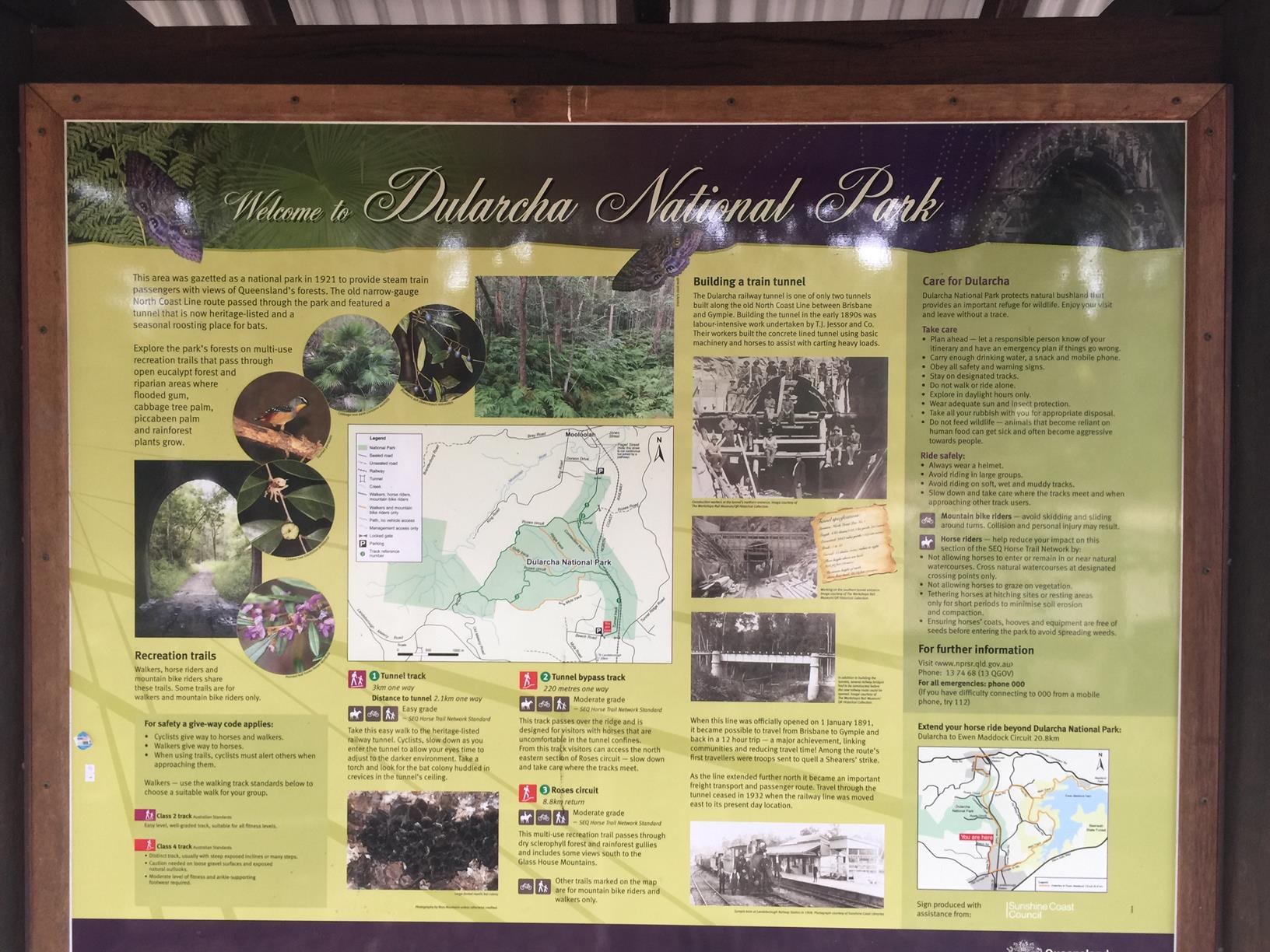
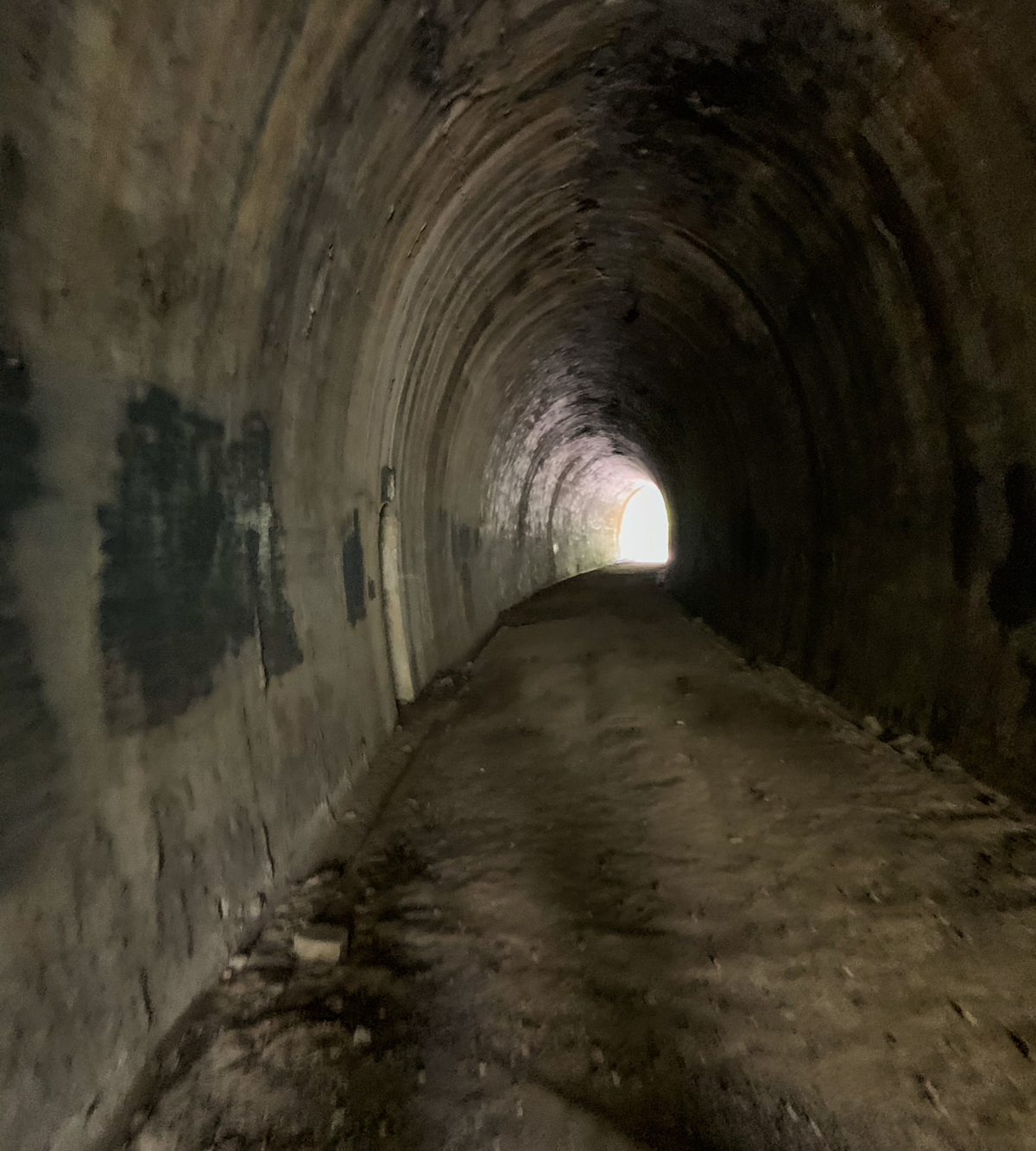
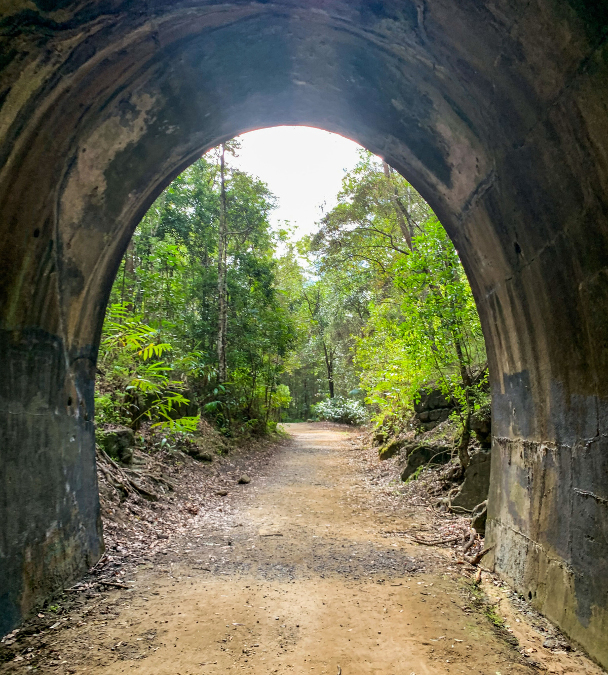
A heritage listed 93.5 metre-long, curved tunnel in the northern section of this trail makes this a unique adventure.

SUITABILITY
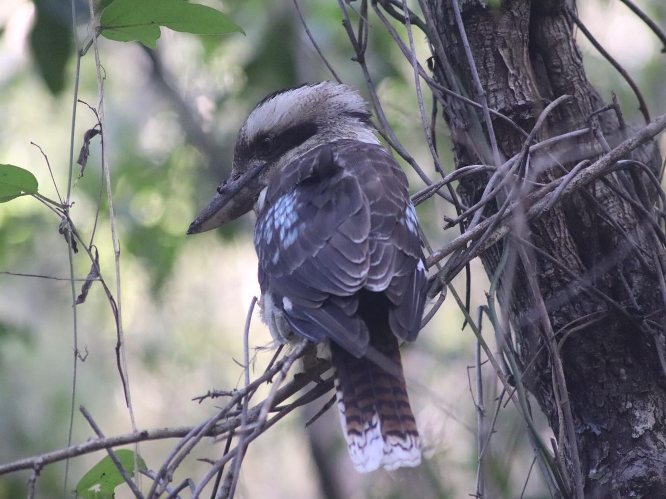
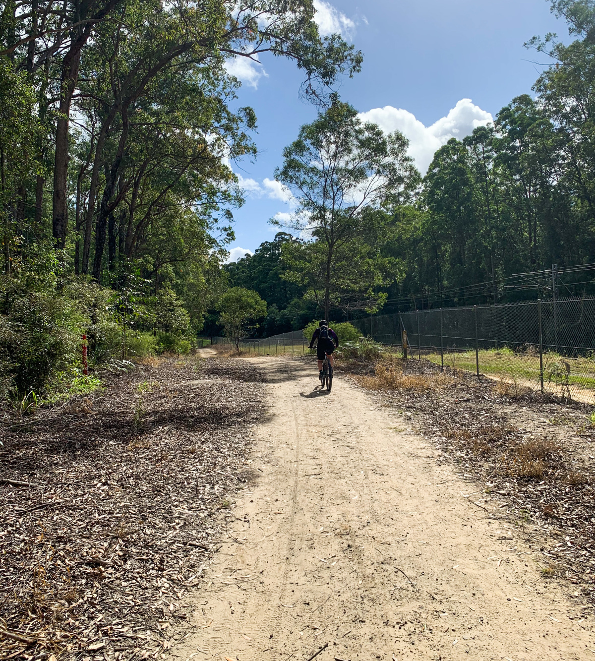
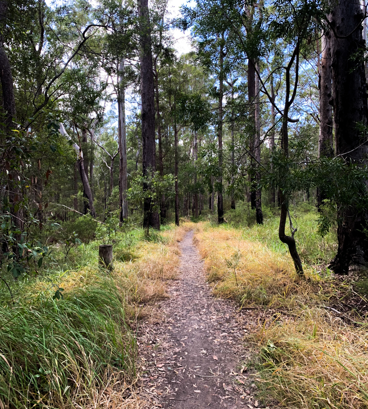
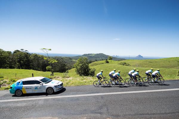
Suitable for walkers, recreational cyclists, mountain bikers and horse riders.

HIGHLIGHTS
This 3km (one way) trail is a favourite outing for families and is bike and horse friendly. Built in 1891, the Dularcha tunnel is one of only two tunnels along the old narrow-gauge North Coast Line between Brisbane and Gympie – a serious labour-intensive feat. Once opened, it would take 12 hours to make the 170km journey between the two locations.

If you are worried about tunnel darkness or want to see the bat colony huddled in the crevices of the tunnel’s ceiling then bring a torch.

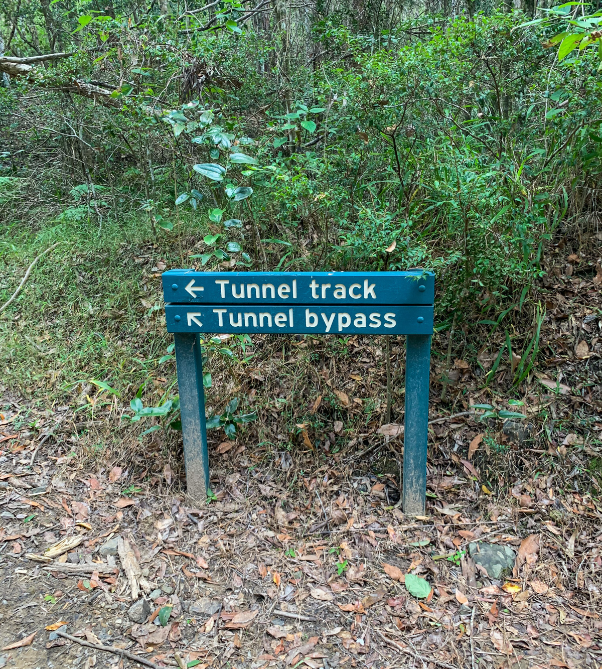
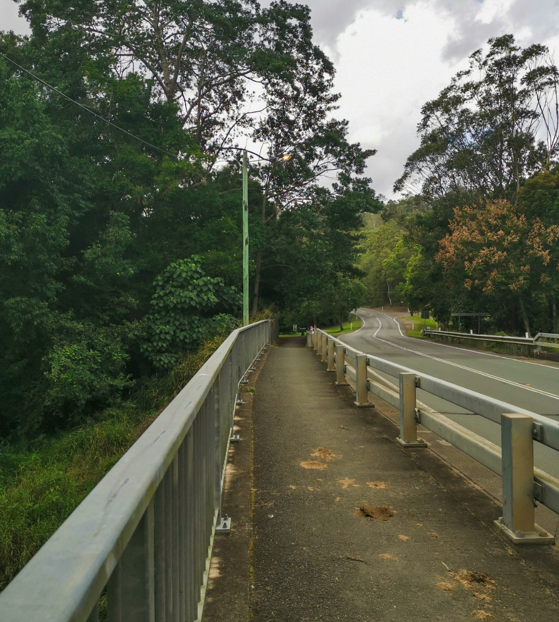
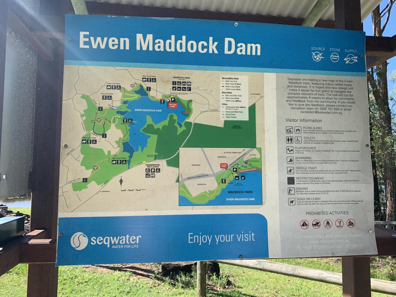
There are three shared trails in the Dularcha National Park – the Tunnel Track, Tunnel Bypass Track and Roses 8.8km Circuit – which enables walkers, mountain bike riders and horse riders to explore the park's natural and historic features. All other trails in the area are mountain bike riders and walkers only.

The Tunnel Bypass Track is a 220 metre section designed for horse-riders who don't want to take their horses through the tunnel.

Reminder: cyclists and walkers give way to horses and when using trails, cyclists must alert others when approaching.

If you are short on time and primarily want to see the Tunnel then you are best accessing it from the northern side, accessed from Paget Street via Dorson Drive, or from the train station on Bray Road.

AFTERWARDS
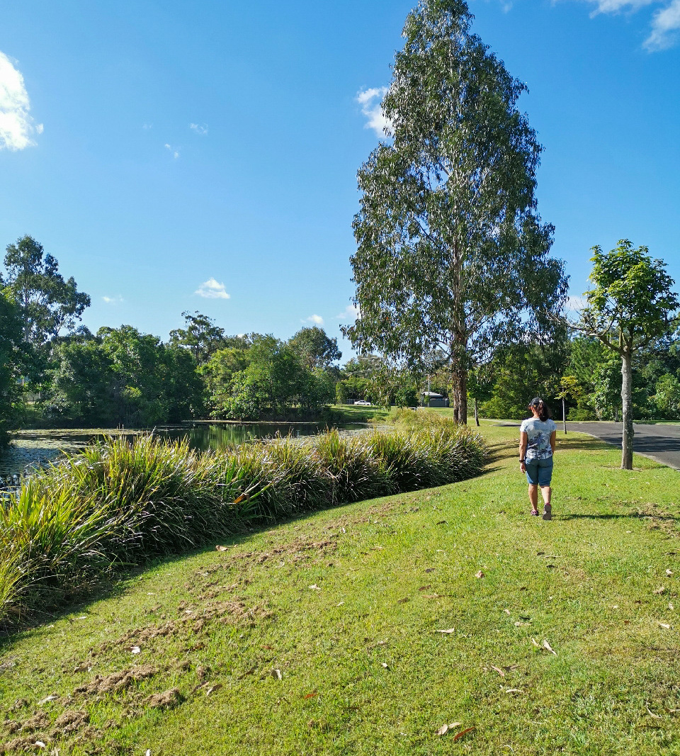
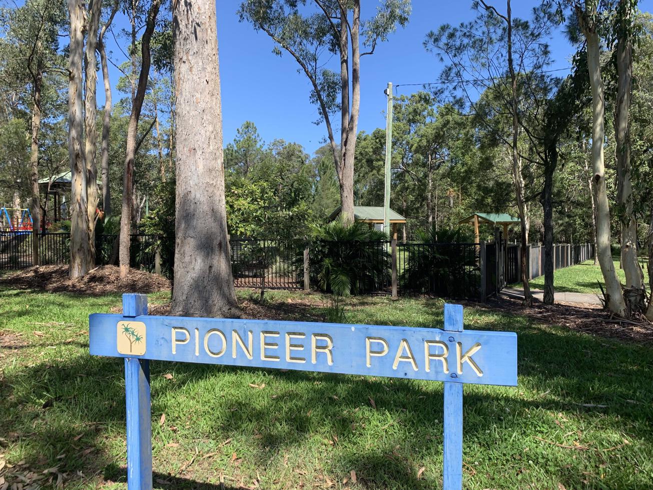
Take time to explore the township of Landsborough or have a picnic lunch in Pioneer Park - a wonderful park for families and a destination in its own right. It’s impressive playground has soft-fall rubber padding underfoot, flying fox, lots of swings and activity play spaces, shaded picnic shelters, BBQs and amenities.

HOW TO GET THERE
To the starting point: This trail starts at the corner of Beech Road and Cunningham Avenue Landsborough. Head south or north on the M1, take the Steve Irwin Way and head to Landsborough. Turn into Railway Street, then left into Maleny Street, at the roundabout turn right into Gympie Street North, then left into Myla Road which becomes Cunningham Avenue. The starting point is 1 km along this road.

Note for horse riders: There is float parking for 2 vehicles/floats on the southern side of Beech Road, adjacent to the bushland.

To the end point: The end point is the same as your starting point – though walkers could do a car shuttle to Mooloolah if preferred.
preferred.

glossary button
Glossary
  • Icon showing this activity is suitable for wheelchairsSuitable for wheelchairs
  • Icon showing this activity is suitable for walkingSuitable for walking
  • Icon showing this activity is suitable for recreational cyclingSuitable for recreational cycling
  • Icon showing this activity is suitable for mountain bikingSuitable for mountain biking
  • Icon showing this activity is suitable for horse ridingSuitable for horse riding
  • Icon showing this activity is suitable for kayakingSuitable for kayaking
  • Icon showing this activity has drinking water availableDrinking water available
  • Icon showing this activity does not have drinking water availableNo drinking water available
  • Icon showing this activity has a barbeque on siteBarbeque on site
  • Icon showing this activity has a picnic table on sitePicnic table on site
  • Icon showing this activity has toilets on siteToilets on site
  • Icon showing fires are permitted at this activityFires permitted
  • Icon showing fires are prohibited at this activityFires prohibited
  • Icon showing camping is permitted at this activityCamping permitted
  • Icon showing camping is prohibited at this activityCamping prohibited
  • Suitable for walking Suitable for walking black lines Suitable for walking
  • Suitable for mountain biking Suitable for mountain biking Suitable for mountain biking
  • Suitable for horse riding Suitable for horse riding Suitable for horse riding
  • No drinking water available No drinking water available No drinking water available
  • Fires prohibited Fires prohibited Fires prohibited
  • Camping prohibited Camping prohibited Camping prohibited
Write a review

Review Date: 10/06/2019

We booked this with our kids aged 9 and 11. At times the trail was a bit loose for them and the hills were on the verge of too hard for our little one but overall it was great

Reviewed By: Sara

Review Date: 28/05/2019

2 kids under 5 in gum boots after rain.... We had a ball trekking to three tunnel. Listening to our echo and climbing over it. Easy walk and didn't take long. Stopped and looked at flowers and plants. Didn't see any bats. also didn't need a torch. Could see fine in the tunnel. Great experience.

Reviewed By: Kj

Review Date: 27/05/2019

My partner and I biked this trail on weekend with our 4 year old on the back. The main trail was an easy ride and very picturesque. We did venture onto the surrounding trails and despite a few large climbs (very difficult with a child on the back) and the mud from the recent rains we had a good 8 km mountain bike ride. The surrounding trails are more appropriate for the intermediate level mountain biker, due to some steep climbs, downhills and obstacles to transverse over and around.

Reviewed By: Karen

Review Date: 23/05/2019

We did this walk with 5 kids aged 3, 5,9,12 & 14. All enjoyed and were able to complete. We started from the Landsborough end which made the tunnel the “reward” at the end instead of being early in the walk. Around the tunnel the mozzies were really bad so prepare accordingly! Took us approx 2hrs but there was lots of stops to look at flowers and walk along fallen logs in the forest!

Reviewed By: Tasha

Review Date: 29/11/2018

Great walk with a lovely canopy of trees, during the walk we did get rain but plenty of protected under the canopy of trees. Could do with some better signage coming into the parking area and a few large clumps of Telstra cable were exposed on the walk that could be capped off, otherwise a thoroughly enjoyable walk with the family. Darren

Reviewed By: Darren

Review Date: 28/11/2018

One of the best trails on the Sunshine Coast. Make sure you take a light and check out the bat colony on the roof of the tunnel (huddled into a small hole). Buck's Bakery in Landsborough is a great spot for a coffee, pie or sweet treat.

Reviewed By: Mal

Review Date: 13/11/2018

A great track for mountain biking. Nice, wide and not too challenging. We rode from Mooloolah to Landsborough, grabbed some lunch and returned. Interesting little piece of history with the tunnel being a good photo opportunity.

Reviewed By: Fiona

Review Date: 06/11/2018

A great track from Landsborough to Mooloolah. We went on mountain bikes and I found the path quite rocky and sandy in some areas and harder to ride but that could have something to do with my bike needing upgrading too. Kids might find it a little sketchy but very easy to just walk over those areas. We went from Landsborough to Mooloolah and got a coffee at a local café and then returned. Great way to spend some time outdoors.

Reviewed By: Rebecca

Review Date: 01/11/2018

Love this relatively flat track. The kids love the thrill of riding through the dark tunnel - beware of bats AAARRRGH - and its always exciting to see a train speed by along the working rail line that runs nearby.

Reviewed By: Cherie

Review Date: 01/11/2018

The tunnel Track is great for all levels and the bat colony is a fun thing to see. Roses Circuit is a bit more difficult and would really tackle this one early, with an adequate water supply. Really amazing views at the top. Not to many people on the tracks. Would recommend.

Reviewed By: Stacey Moreau

hazard icon

IN AN EMERGENCY DIAL '000'.

Always Adventure Safely!

  • Always follow any local signage, it contains key information and conditions can change at any time.
  • Use the trails with consideration for your abilities, be prepared for the adventure ahead:
    • Be aware of the weather conditions, found here: http://www.bom.gov.au/qld/.
    • Always wear appropriate clothing, focus on good footwear.
    • Always bring more water than you think you will need.
    • Be Sun Safe!
    • Always let someone know where you are going that isn’t going with you.
  • Just getting started try this site for good useful information: https://www.trailhiking.com.au/hike-safety/
  • Sunshine Coast Council does it’s best to maintain current information but things can change so always be aware that a trail may not be as listed in this guide, and report and issues via our feedback link.

Qld Parks and Wildlife Service

National Parks, Conservation Parks and some State Forests are managed by Queensland Parks and Wildlife Service. Contact details are: https://www.des.qld.gov.au/contactus/

For current information on trail conditions and alerts go to https://parks.des.qld.gov.au/park-alerts/#sunshinecoast

If you think something on this web site needs to change please let us know via: adventure@sunshinecoast.qld.gov.au

Nearby Trails

Trail Image for Mooloolah Town and Pond Walk
Easy

Mooloolah Town and Pond Walk

Mooloolah Valley
walking icon mountain biking icon
Trail type
difficulty icon
Skill Level

1.5km

Length
direction icon
One-way
Trail Image for Mooloolah Valley Cycle Circuit
null

Mooloolah Valley Cycle Circuit

Mooloolah Valley
walking icon mountain biking icon
Trail type
difficulty icon
Skill Level

15.4km

Length
direction icon
Circuit
Trail Image for Ewen Maddock Dam Main Track
Intermediate

Ewen Maddock Dam Main Track

Glenview
walking icon mountain biking icon horse riding icon
Trail type
difficulty icon
Skill Level

9.0km

Length
direction icon
One-way
Trail Image for Road Cycle Route: Bellthorpe Circuit
Difficult

Road Cycle Route: Bellthorpe Circuit

Bald Knob
walking icon cycling icon
Trail type
difficulty icon
Skill Level

78.4km

Length
direction icon
Circuit
Trail Image for Pioneer Park to Landsborough Township
null

Pioneer Park to Landsborough Township

Landsborough
walking icon cycling icon
Trail type
difficulty icon
Skill Level

1.3km

Length
direction icon
One-way

Share this trail

This action requires a login.
To continue, click on Login/Signup below.

Photo uploaded successfully, thank you.

Feedback / Suggest an Adventure

If you have any feedback on the site or any of the trails, please drop us a short email.

Have we missed something? Do you have an adventure to suggest? Fill in the suggestion form to let us know about it.