
If you have any feedback on the site or any of the trails, please drop us a short email.
Suggest an AdventureHave we missed something? Do you have an adventure to suggest? Fill in the suggestion form to let us know about it.

 PDF download in progress
Please wait...


Paddle one of the most secluded parts of the Maroochy River and glide beside native wetlands, former cane farms and relics of the cane industry.
SUITABLILITY
This location is suitable for all level of paddle enthusiasts.
HIGHLIGHTS
This paddle section of the Maroochy River Trail is quite undisturbed as it is has one of the most remote access points to get to. On a calm day, paddling can be very peaceful with primeval muddy mangroves lining much of the shore. The paddle north up Coolum Creek follows the old river mail boat route as far as Coolum Creek Landing. A short paddle further is the cane train bridge, a crumbling remnant of the old Moreton Sugar Mill Tramway.
Downstream, Coolum Creek and the middle and lower Maroochy River estuary are covered in dense mangrove, paperbark and Casuarina forest. The prominent mangrove ferns at Coolum Creek are like ancient landscape. The native hibiscus (also known as the cotton tree) grows alongside mangroves. It is easily recognised by its familiar flowers – vibrant yellow fading to orange – that bloom in late spring through to early summer.
Some common birds of prey you might see include the Brahminy Kite, Osprey and White-bellied Sea Eagle. Waterbirds like Cormorants, Darter, Spoonbills, Ibis and Black Ducks are common. Quiet paddlers might get glimpses of the Forest Kingfisher and White-faced Heron, and the screech of the Yellow-tailed Black Cockatoo is unmistakable. Other birds to look out for include oystercatchers and the rarer, Black-necked Stork (Jabiru). Although well camouflaged, paddlers may see Water Dragon at the water's edge, and the fast scrambling crabs on the mud banks. Don’t be frightened by the mullet jumping!
From your starting point you can head southwards to Maroochy River and back. Other Maroochy River Trail sections are covered further within Sunshine Coast Adventures.
AFTERWARDS
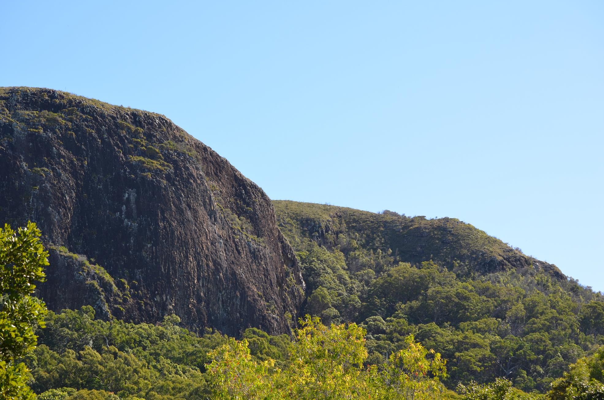
From the Coolum Creek landing you can explore things further afield around Coolum including hiking up Mt Coolum itself. Whilst strenuous, young children can do this walk with parents. Make sure you take water. Mt Coolum offers views all over the Sunshine Coast and climbing it is a bucket list item to tick off your list.
There is a coastal walk from Coolum Beach south towards Point Arkwright giving you the chance to see little coves, sea turtles and whales from late May to September.
Coolum Beach is a well-known surf beach and the local shopping includes many eateries and tourist shops.
HOW TO GET THERE
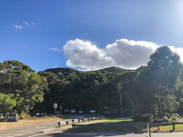
To the starting point: Coolum Creek Landing is at the dirt road end of West Coolum Road. West Coolum Road is an overpass above the Sunshine Motorway only accessible from the western side of Mt Coolum. If travelling on the M1 Motorway take the Coolum exit and travel towards Coolum (not Yandina).
To the end point: The end point is the same as the starting point.
Be the first to review this trail.
IN AN EMERGENCY DIAL '000'.
Always Adventure Safely!
Sunshine Coast Council
For any issues with this experience please contact:
Sunshine Coast Council via 07 5475 7272 or via e-mail: adventure@sunshinecoast.qld.gov.au
This action requires a login.
To continue, click on Login/Signup below.
 loading...
Photo uploaded successfully, thank you.
If you have any feedback on the site or any of the trails, please drop us a short email.
Suggest an AdventureHave we missed something? Do you have an adventure to suggest? Fill in the suggestion form to let us know about it.