facebook
Image showing that the PDF download is in progress... PDF download in progress

Please wait...

Image showing a pink decorative paint splat
Image showing a green decorative paint splat
upload photo button
reviews buttonReviews view map buttonMap
view 3d map button3D Map
directions take me there buttonDirections
Save
PDF
Gpx File

Coolum: Stumers Creek to Magenta Drive Park

Coolum: Stumers Creek to Magenta Drive Park
Coolum Beach
walking icon walking icon black mountain biking icon mountain biking icon black
Trail type
difficulty icon
Skill Level
3.9km
Length
direction icon direction icon black
Circuit

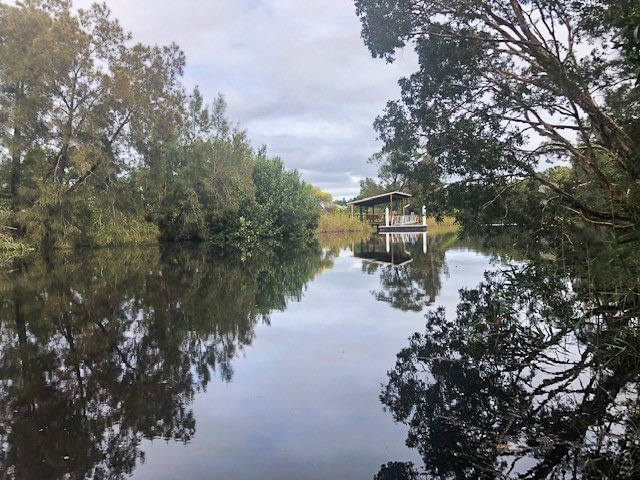
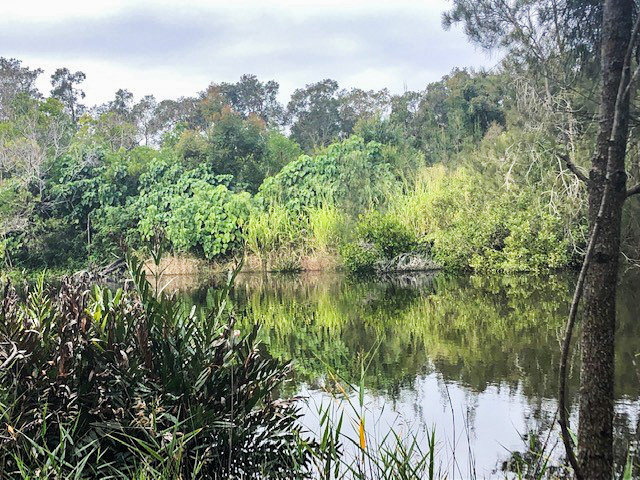
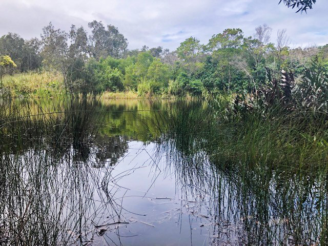
Take a walk featuring river views, tree lined tracks and family friendly facilities
SUITABILITY

This walk is suitable for families and all ages.

HIGHLIGHTS

The trail begins at the Coolum Sports Precinct featuring the Coolum Swimming Pool, Tennis Club, Football Club and Rugby League Club. There is ample car parking located at this point.
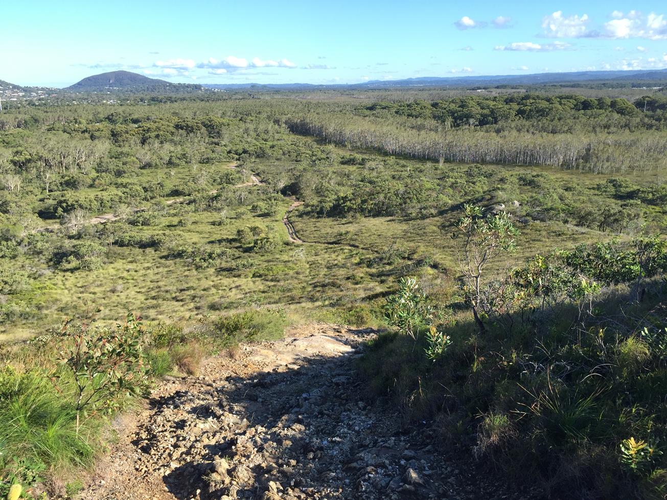
The track to Magenta Drive Park trails along Stumers Creek and dogs are welcome to join the family, on a leash. The walk features an abundance of birdlife along the tree lined track and ducks galore along the creek.
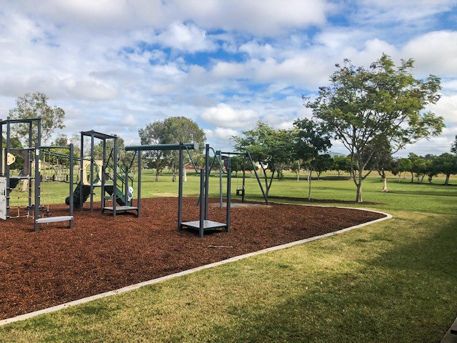
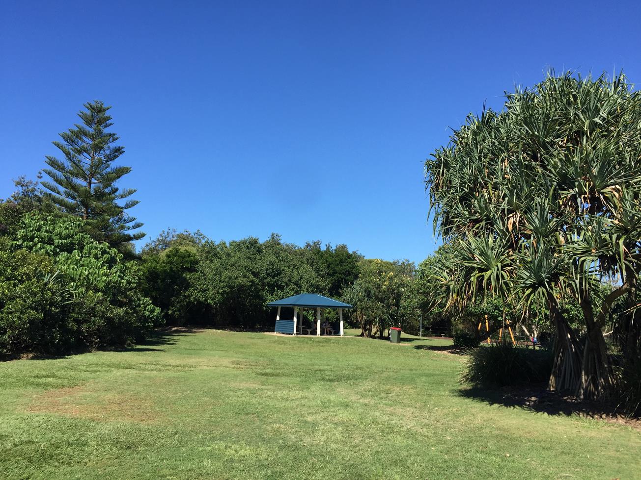
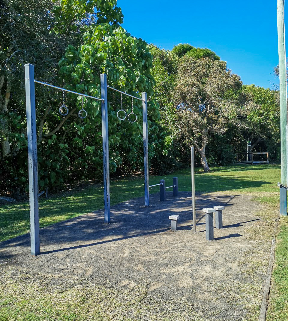
Once at the end of the creek trail, the path passes the South Coolum Shopping Centre, the perfect place to pick up supplies for lunch at the Magenta Drive Park next door. Here a large green space, complete with picnic tables and playground, is an ideal spot to recharge for the return leg of the journey.

AFTERWARDS

If one of the local sports clubs is not on your radar then head onto the Coolum esplanade for a variety of cafes, restaurants and shops.
HOW TO GET THERE

To Start: Via David Low Way, turn at Swim Fit Coolum
To End: The end point is the start point

glossary button
Glossary
  • Icon showing this activity is suitable for wheelchairsSuitable for wheelchairs
  • Icon showing this activity is suitable for walkingSuitable for walking
  • Icon showing this activity is suitable for recreational cyclingSuitable for recreational cycling
  • Icon showing this activity is suitable for mountain bikingSuitable for mountain biking
  • Icon showing this activity is suitable for horse ridingSuitable for horse riding
  • Icon showing this activity is suitable for kayakingSuitable for kayaking
  • Icon showing this activity has drinking water availableDrinking water available
  • Icon showing this activity does not have drinking water availableNo drinking water available
  • Icon showing this activity has a barbeque on siteBarbeque on site
  • Icon showing this activity has a picnic table on sitePicnic table on site
  • Icon showing this activity has toilets on siteToilets on site
  • Icon showing fires are permitted at this activityFires permitted
  • Icon showing fires are prohibited at this activityFires prohibited
  • Icon showing camping is permitted at this activityCamping permitted
  • Icon showing camping is prohibited at this activityCamping prohibited
  • Suitable for walking Suitable for walking black lines Suitable for walking
  • Suitable for mountain biking Suitable for mountain biking Suitable for mountain biking
  • No drinking water available No drinking water available No drinking water available
  • Picnic table on site Picnic table on site Picnic table on site
  • Fires prohibited Fires prohibited Fires prohibited
  • Camping prohibited Camping prohibited Camping prohibited
Write a review

Be the first to review this trail.

hazard icon

IN AN EMERGENCY DIAL '000'.

Always Adventure Safely!

  • Always follow any local signage, it contains key information and conditions can change at any time.
  • Use the trails with consideration for your abilities, be prepared for the adventure ahead:
    • Be aware of the weather conditions, found here: http://www.bom.gov.au/qld/.
    • Always wear appropriate clothing, focus on good footwear.
    • Always bring more water than you think you will need.
    • Be Sun Safe!
    • Always let someone know where you are going that isn’t going with you.
  • Just getting started try this site for good useful information: https://www.trailhiking.com.au/hike-safety/
  • Sunshine Coast Council does it’s best to maintain current information but things can change so always be aware that a trail may not be as listed in this guide, and report and issues via our feedback link.

Sunshine Coast Council

For any issues with this experience please contact:

Sunshine Coast Council via 07 5475 7272 or via e-mail: adventure@sunshinecoast.qld.gov.au

Nearby Trails

Trail Image for Coolum to Emu Mountain
Difficult

Coolum to Emu Mountain

Coolum Beach
walking icon
Trail type
difficulty icon
Skill Level

4.4km

Length
direction icon
One-way
Trail Image for Road Cycle Route: SCC Big Loop
Difficult

Road Cycle Route: SCC Big Loop

Alexandra Headland
walking icon cycling icon
Trail type
difficulty icon
Skill Level

180.6km

Length
direction icon
Circuit
Trail Image for Road Cycle Route: Twin Waters Loop
Difficult

Road Cycle Route: Twin Waters Loop

Bli Bli
walking icon cycling icon
Trail type
difficulty icon
Skill Level

73.8km

Length
direction icon
Circuit
Trail Image for Stumers Creek Beach Loop
Intermediate

Stumers Creek Beach Loop

Coolum Beach
walking icon
Trail type
difficulty icon
Skill Level

1.3km

Length
direction icon
Circuit
Trail Image for Coolum Beach to Stumers Creek
Easy

Coolum Beach to Stumers Creek

Coolum Beach
walking icon
Trail type
difficulty icon
Skill Level

2.6km

Length
direction icon
Circuit

Share this trail

This action requires a login.
To continue, click on Login/Signup below.

Photo uploaded successfully, thank you.

Feedback / Suggest an Adventure

If you have any feedback on the site or any of the trails, please drop us a short email.

Have we missed something? Do you have an adventure to suggest? Fill in the suggestion form to let us know about it.