
If you have any feedback on the site or any of the trails, please drop us a short email.
Suggest an AdventureHave we missed something? Do you have an adventure to suggest? Fill in the suggestion form to let us know about it.

 PDF download in progress
Please wait...


One of the most challenging and scenic trails in the northern end of this 10,064 hectare national park – the top end of the Sunshine Coast Hinterland’s Great Walk.
SUITABILITY
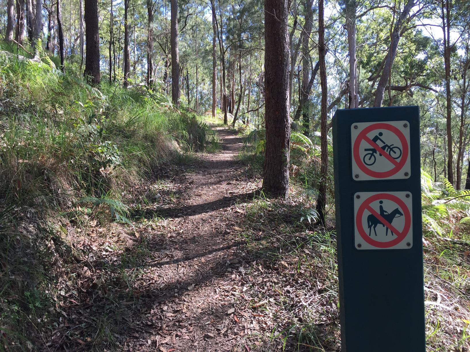
This walkers with some experience and are well prepared. There are also 26 km of trail bike paths in Mapleton National Park so there is motor bike activity near the start of this walk.
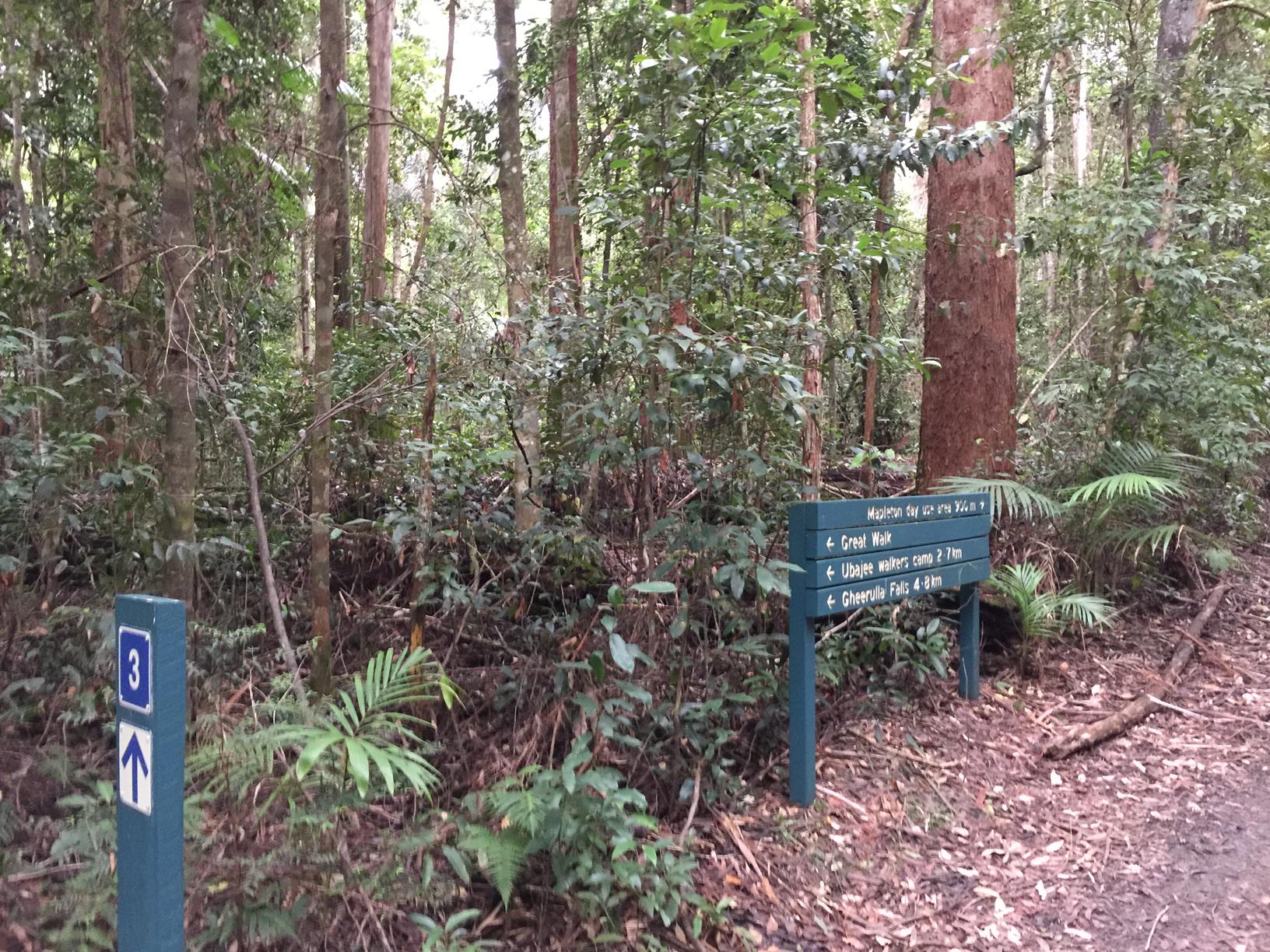
HIGHLIGHTS
Some say Mapleton National Park provides the most challenging of all the sections of the Sunshine Coast Hinterland’s Great Walk – and this one might take the prize.
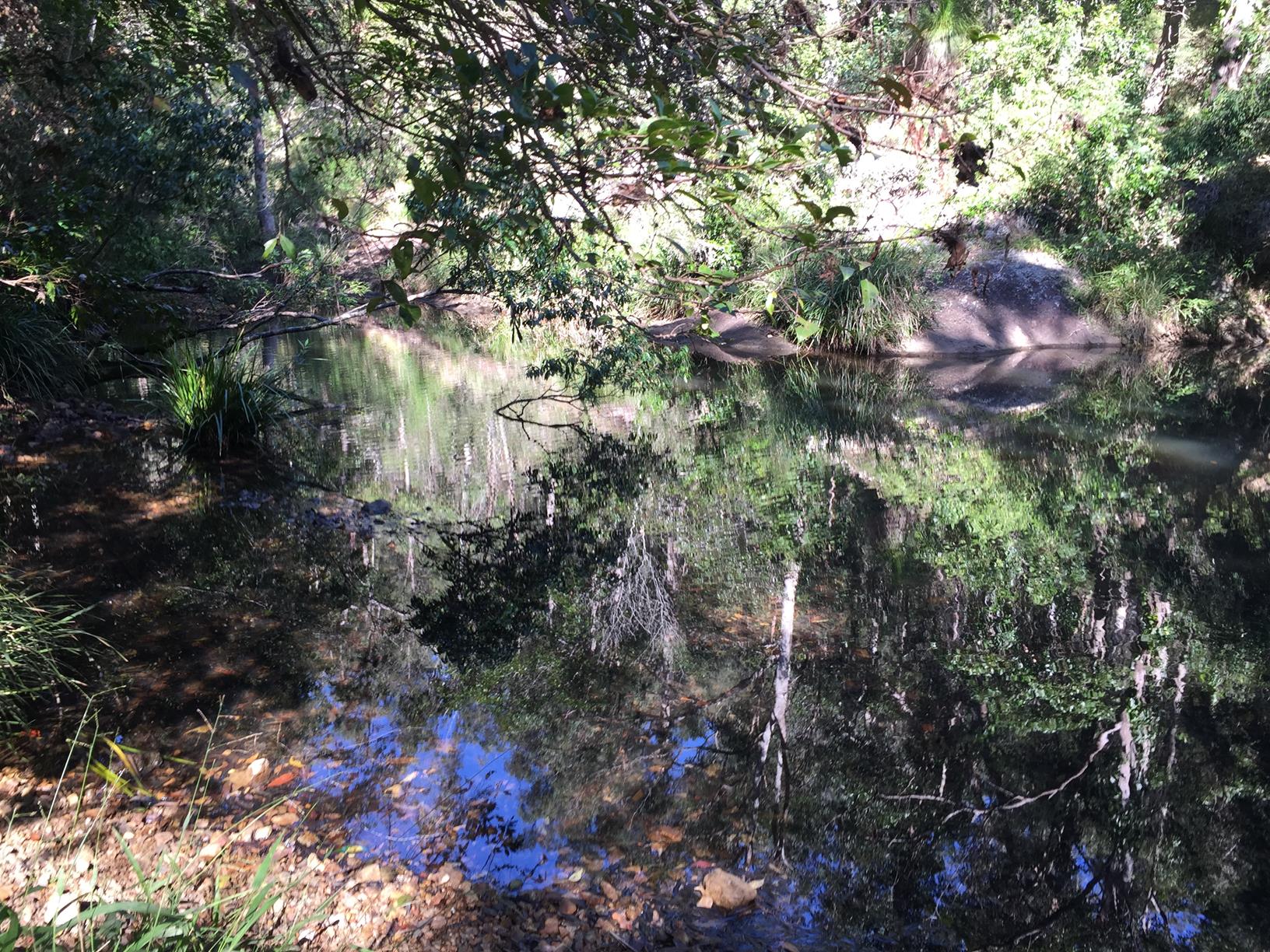
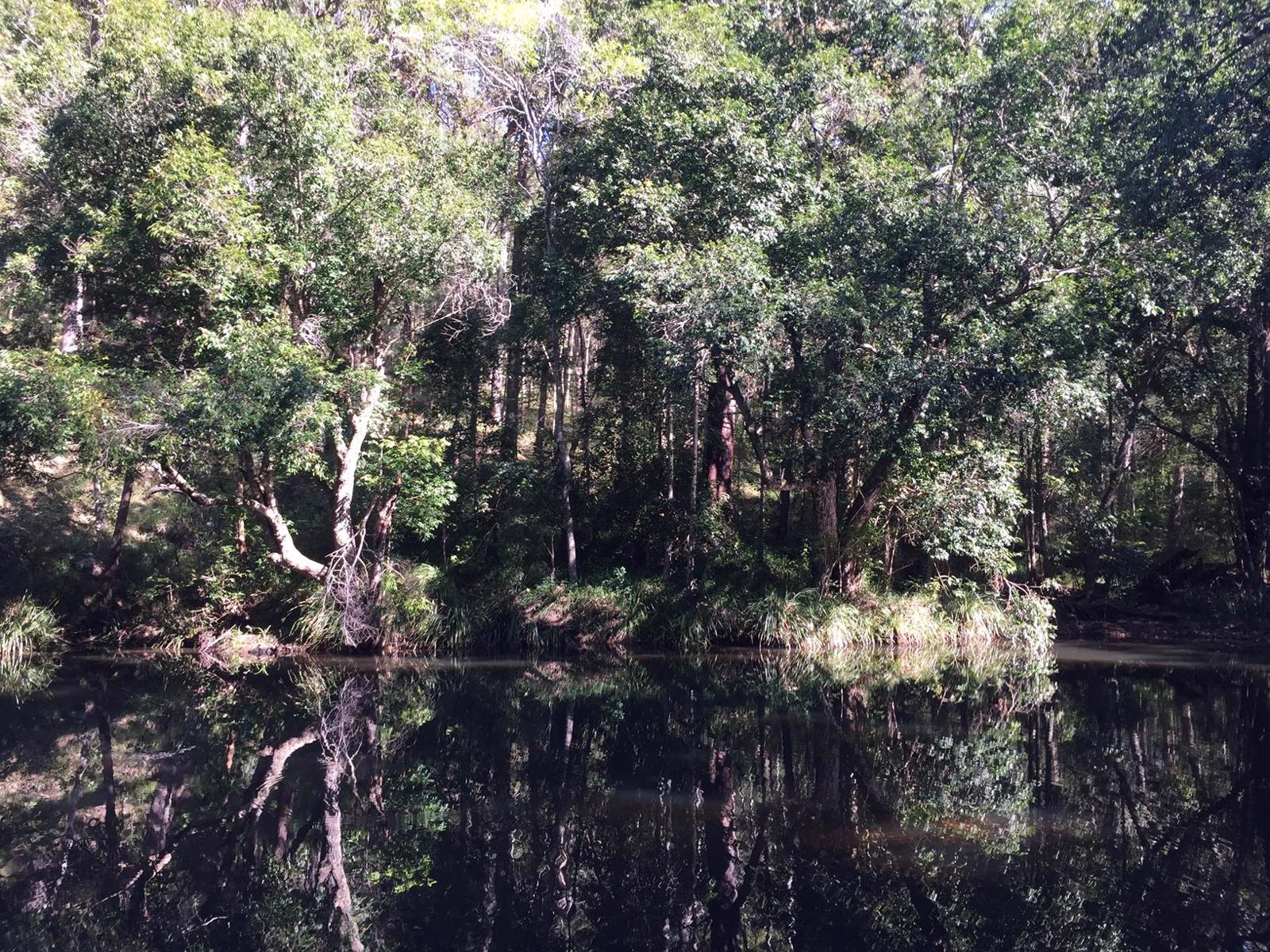
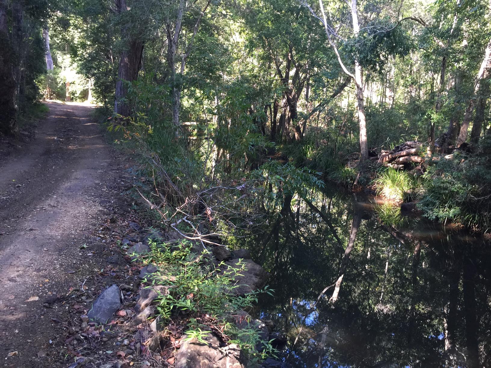
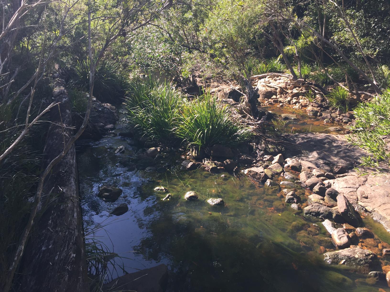
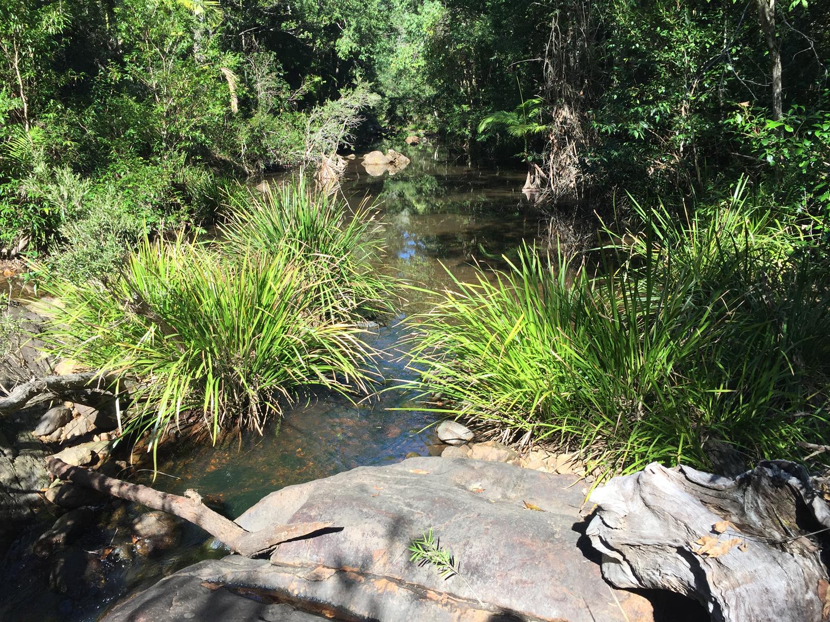
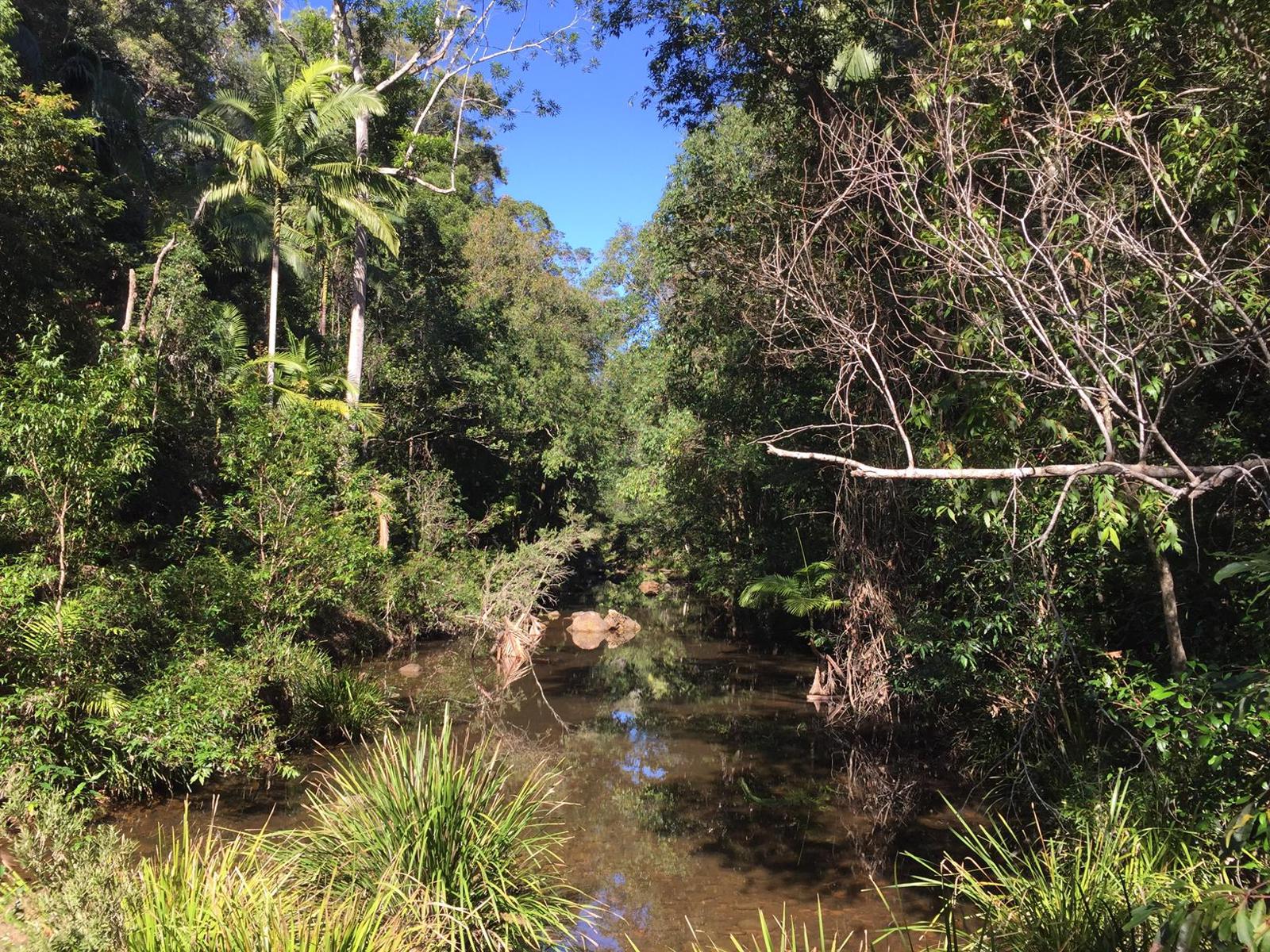
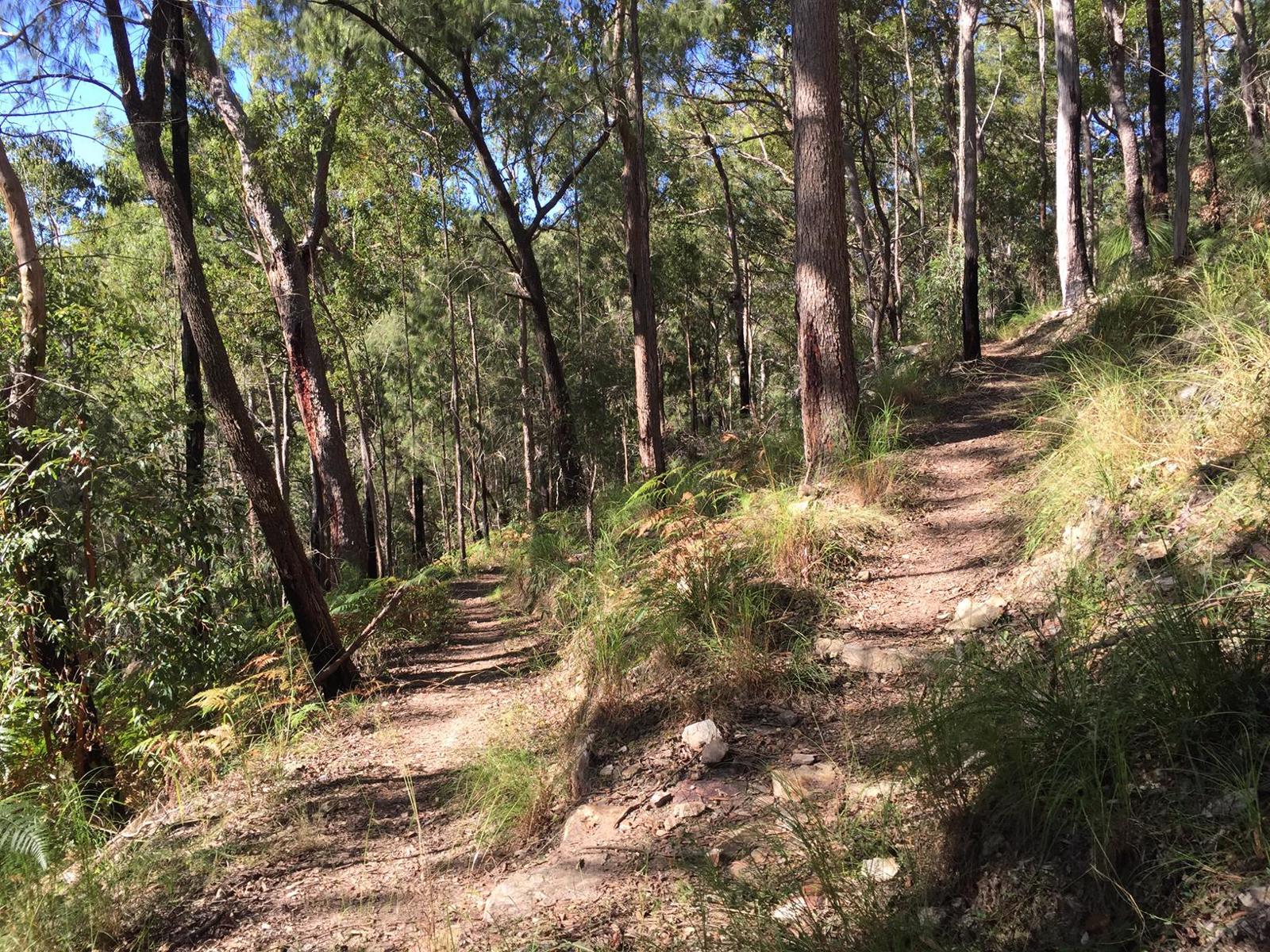
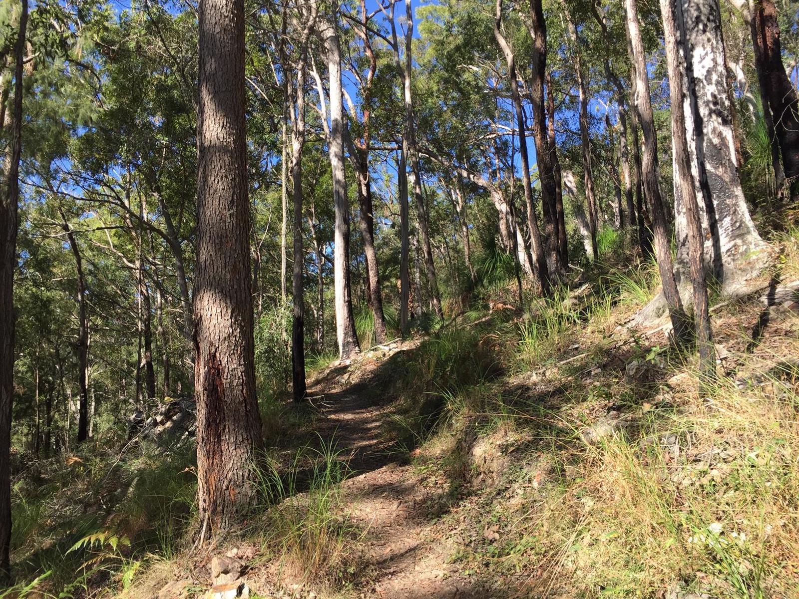
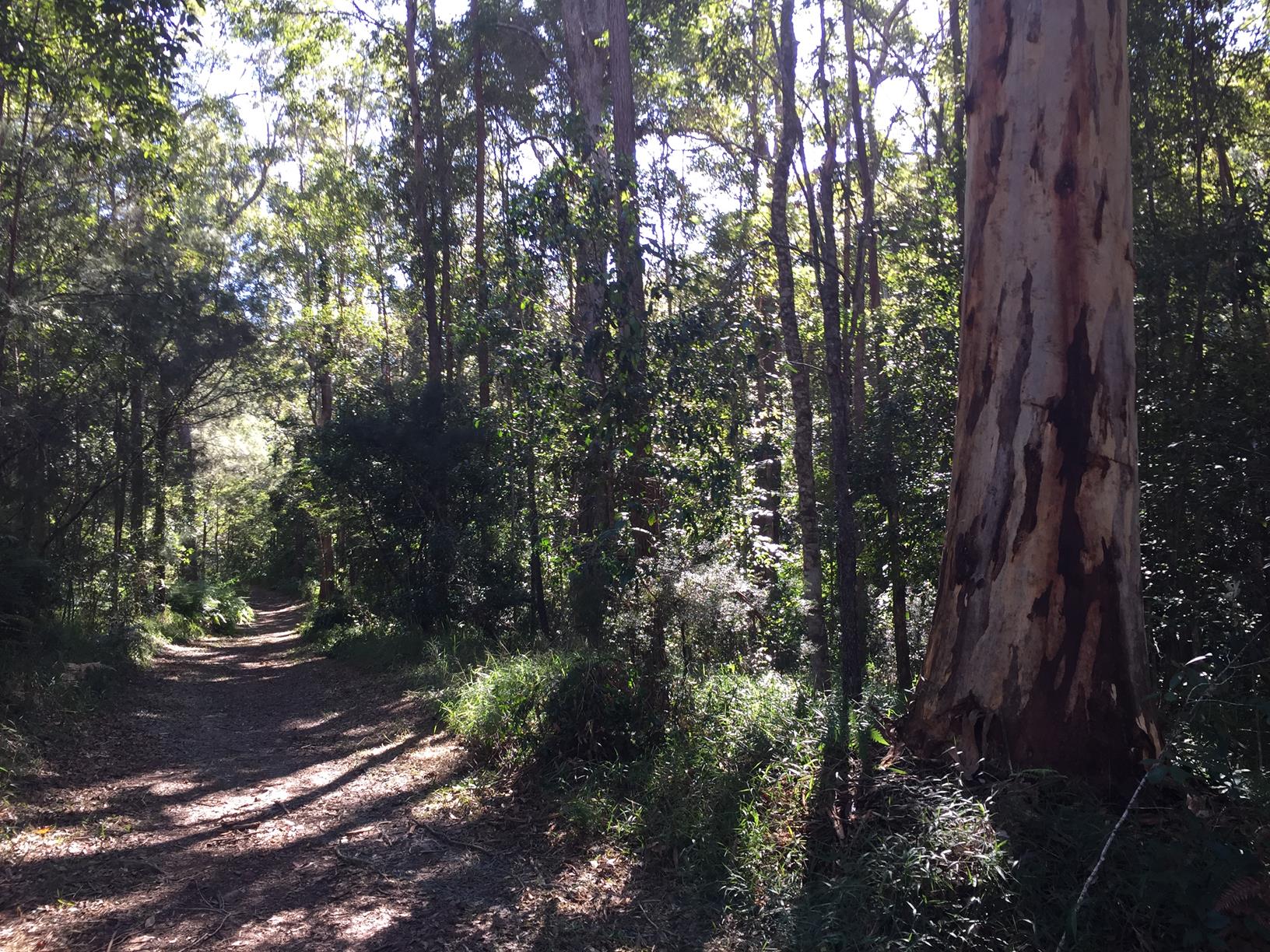
The 10,064 hectare national park offers mountain scenery, rocky bluffs with panoramic views, numerous creeks, waterfalls, and mixed forestry.
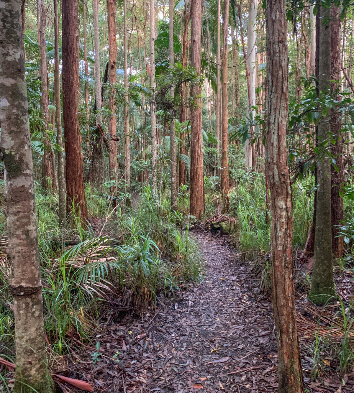
Starting on the Gheerulla side, the trail is long, challenging and rewarding, with spectacular scenic changes from the creek deep in the valley up through the ridges and gulleys of classic Queensland bush. You’ll be amazed at the height of the grass trees in parts.
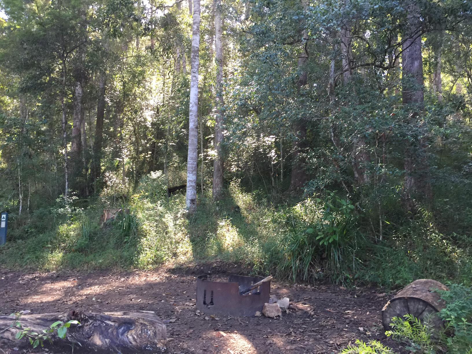
On your journey will see remnants of the area’s logging past, with numerous large tree stumps still rotting slowly.
However the forest still flourishes with several sections of beautiful tall red and blue eucalypts providing expansive canopies. In other parts there are Kauri Pines, Brush box, Iron bark, Tamarind and scrub rosewood if you know your species and where to look.
Make sure you take the side turn to Gheerulla Falls – a welcome respite.
AFTERWARDS
You will have well and truly earned your refreshments from the nearby country towns of Kenilworth or Eumundi.
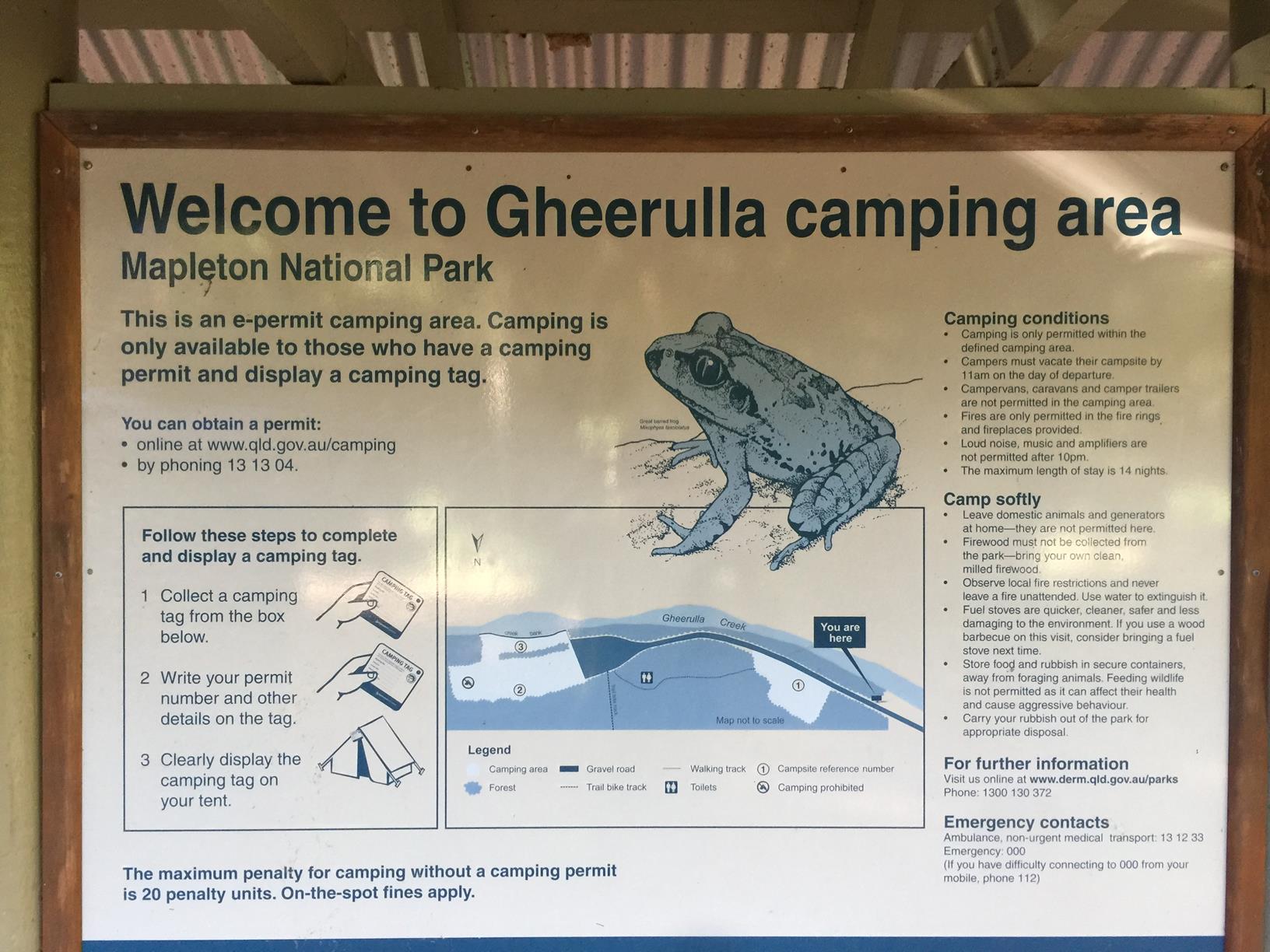
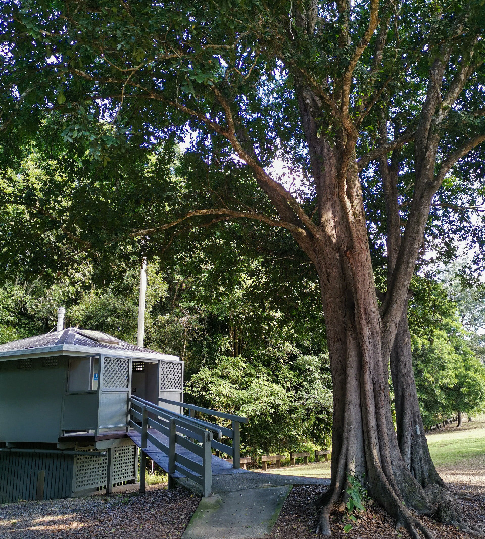
It’s worth considering camping to round it out, for example at the Kenilworth homestead on the banks of the nearby Mary River. There are only 3 campspots at the start of the walk.
HOW TO GET THERE
To the starting point: There are 2 possible starting points:
1) On the Gheerulla side: Heading north on the M1, take the Eumundi turnoff and the road to Kenilworth. About 25 kilometres later you will come to Sam Kelly Road on your left, a single lane dirt road. From Kenilworth, it’s approximately 7.5 km.
Follow this dirt road for approximately 1.5 km when you will cross a cattle grid. Park right by the National Park sign. The marked trail starts here off to your right. (The drive to the campground is beyond here but 4WD is recommended). Note: the lower creek crossing is at the entry sign; the other at the campsite is just boulder hopping.
2) On the Mapleton side: From Mapleton township take the Obi Obi Road and turn right into Delicia Road. Drive along for about 5 km till you come to a dip in the road where you see a sign on the right to Gheerulla Falls. Park here.
To the end point: The end point is the same as the starting point. However you could choose to do a one-way route with a car shuttle.
Be the first to review this trail.
IN AN EMERGENCY DIAL '000'.
Always Adventure Safely!
Qld Parks and Wildlife Service
National Parks, Conservation Parks and some State Forests are managed by Queensland Parks and Wildlife Service. Contact details are: https://www.des.qld.gov.au/contactus/
For current information on trail conditions and alerts go to https://parks.des.qld.gov.au/park-alerts/#sunshinecoast
If you think something on this web site needs to change please let us know via: adventure@sunshinecoast.qld.gov.au
This action requires a login.
To continue, click on Login/Signup below.
 loading...
Photo uploaded successfully, thank you.
If you have any feedback on the site or any of the trails, please drop us a short email.
Suggest an AdventureHave we missed something? Do you have an adventure to suggest? Fill in the suggestion form to let us know about it.