facebook
Image showing that the PDF download is in progress... PDF download in progress

Please wait...

Image showing a pink decorative paint splat
Image showing a green decorative paint splat
upload photo button
reviews buttonReviews view map buttonMap
view 3d map button3D Map
directions take me there buttonDirections
Save
PDF
Gpx File

Woombye to Palmwoods Town Centres

Woombye to Palmwoods Town Centres
Palmwoods
walking icon walking icon black cycling icon cycling icon black
Trail type
difficulty icon
Skill Level
5.3km
One-way Length
direction icon direction icon black
One-way

Connecting hinterland townships

SUITABILITY
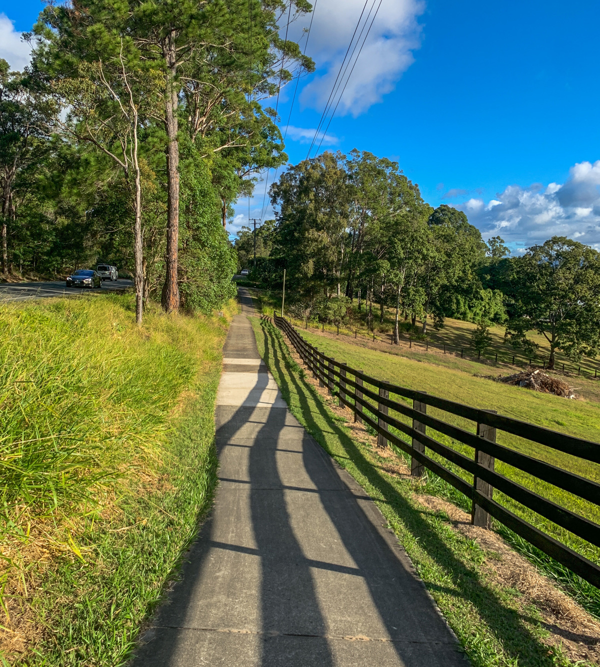
Suitable for riders and walkers of intermediate fitness levels.

HIGHLIGHTS
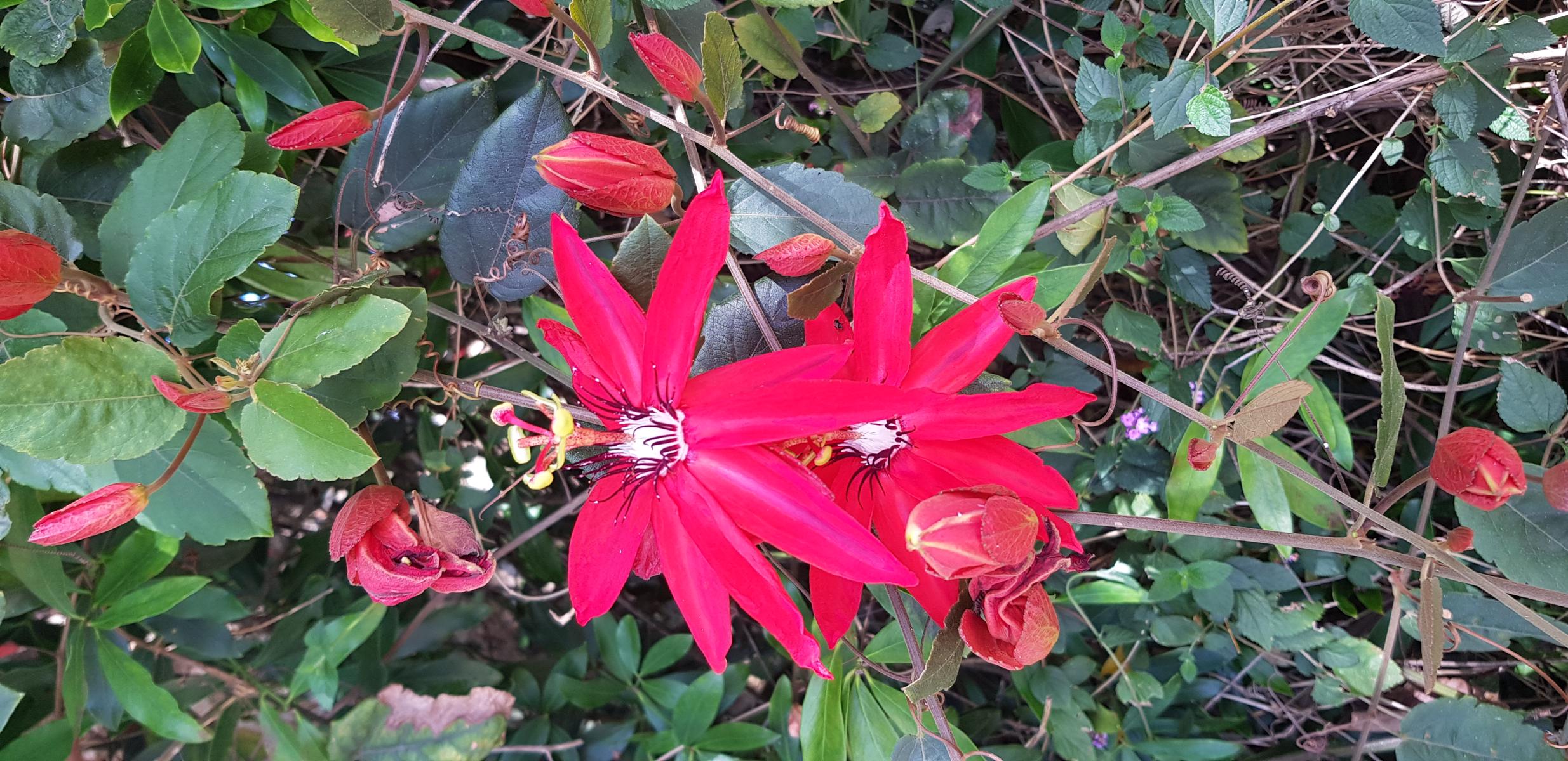
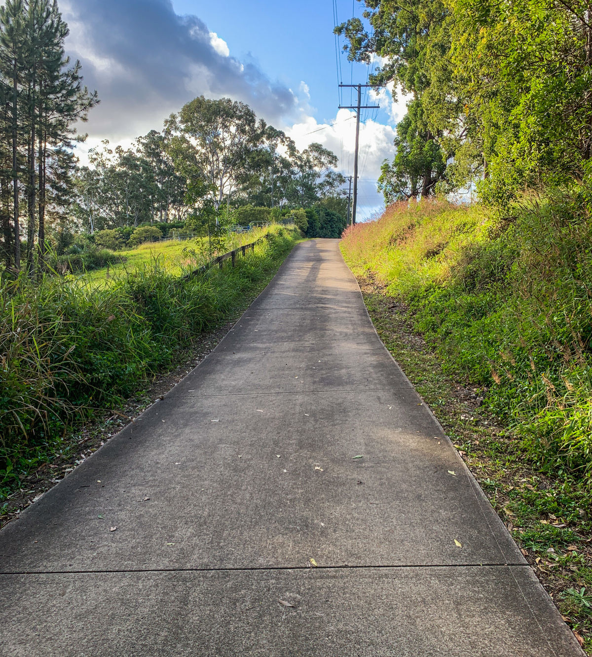
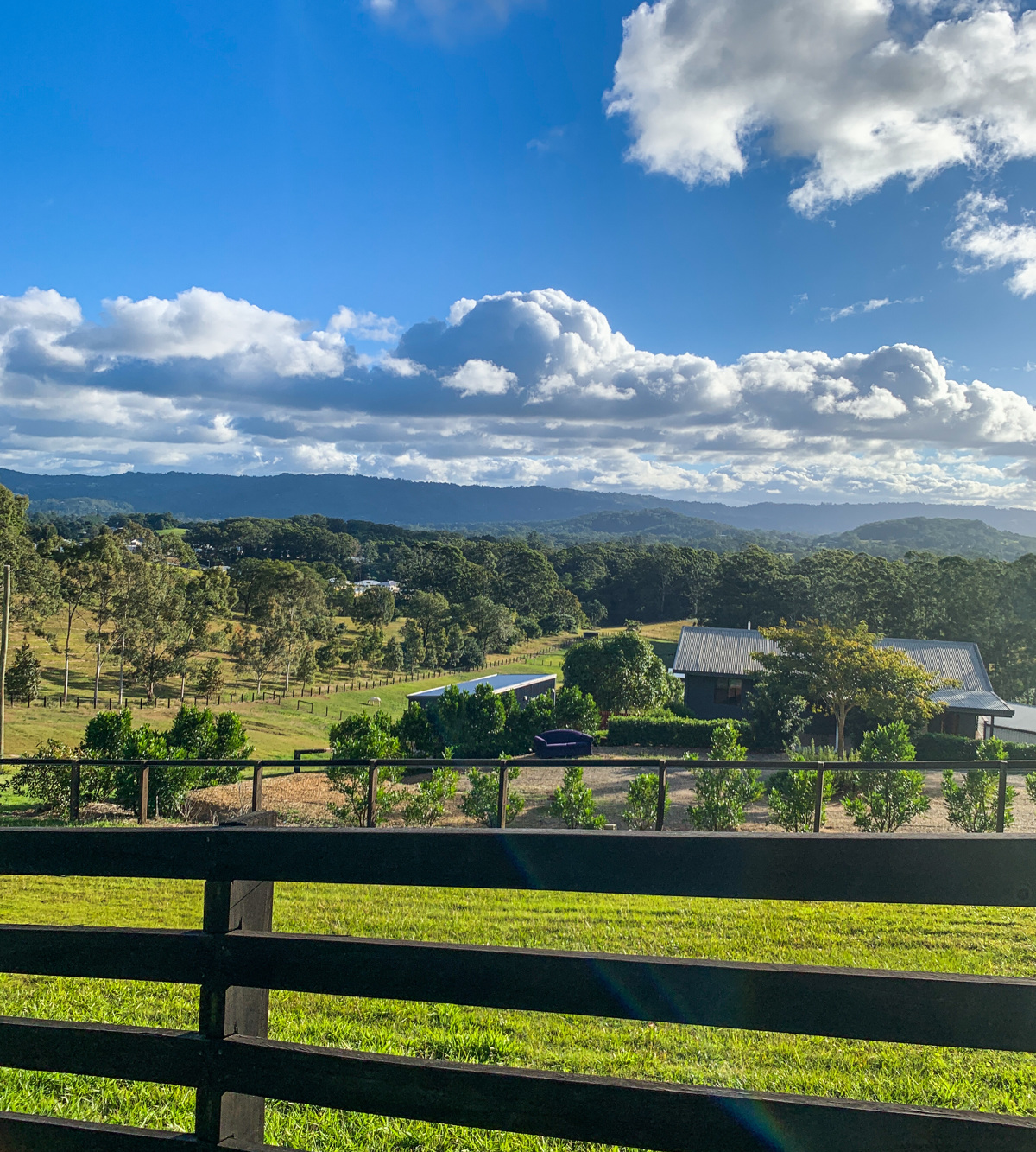
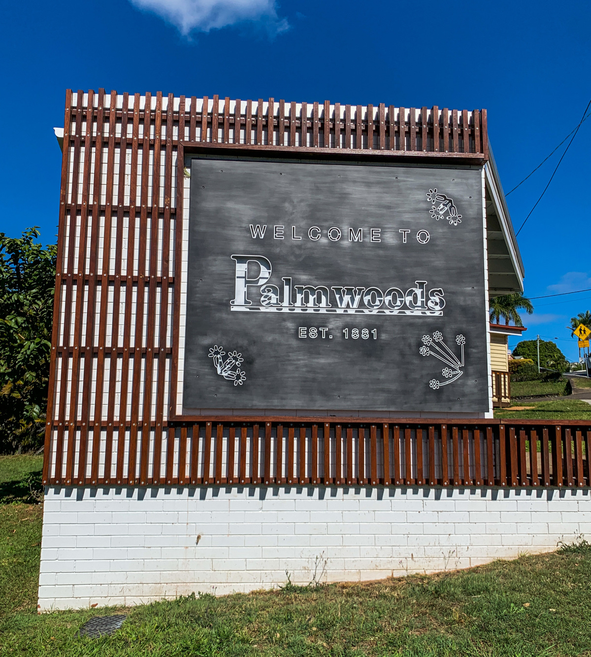
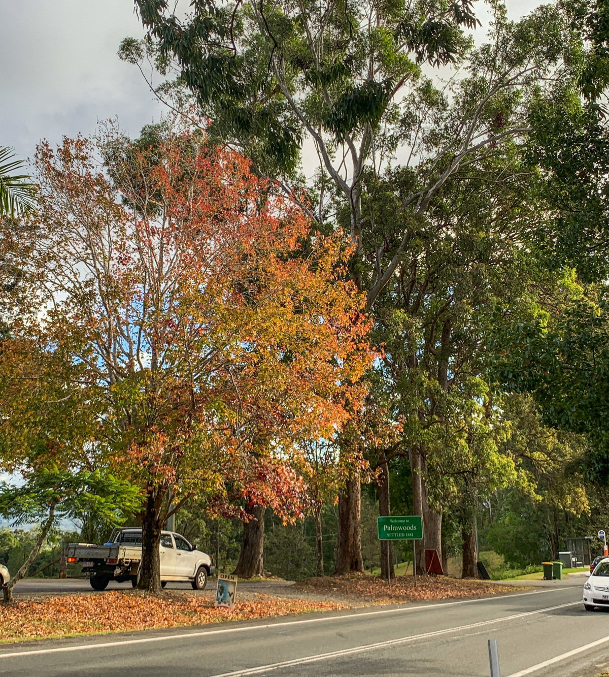
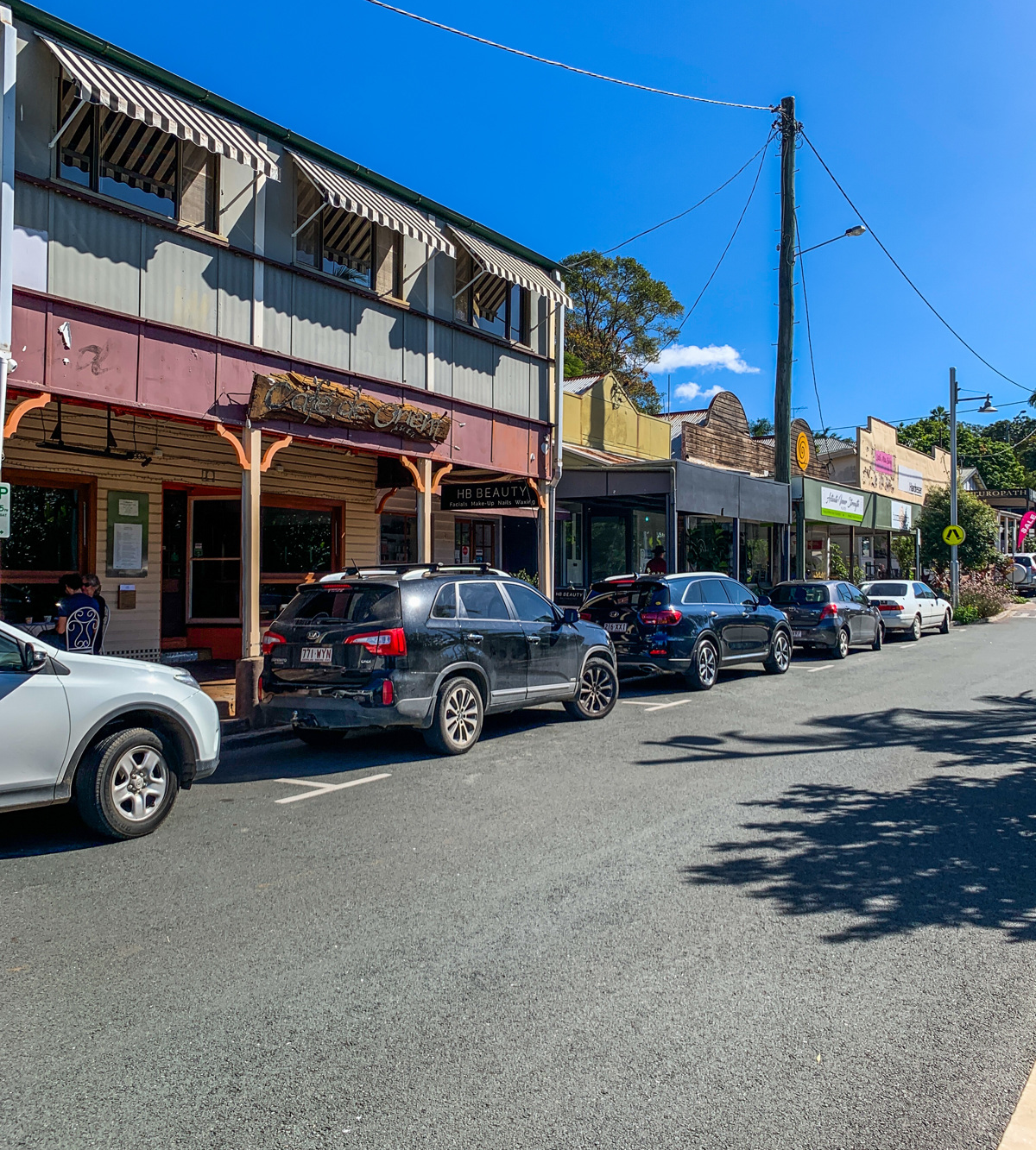
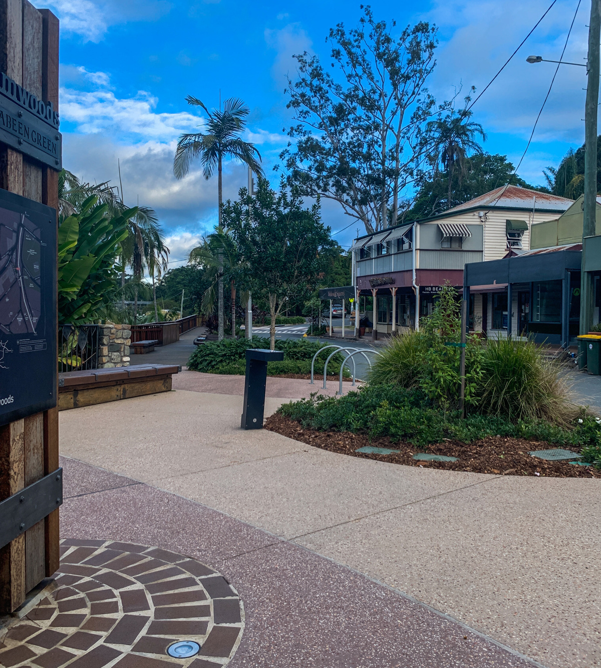
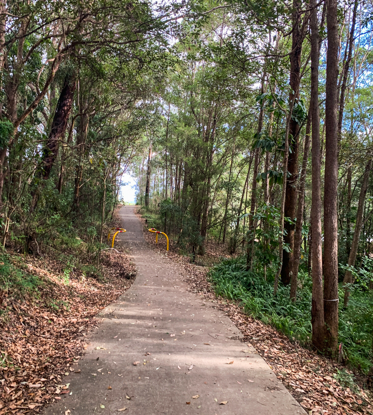
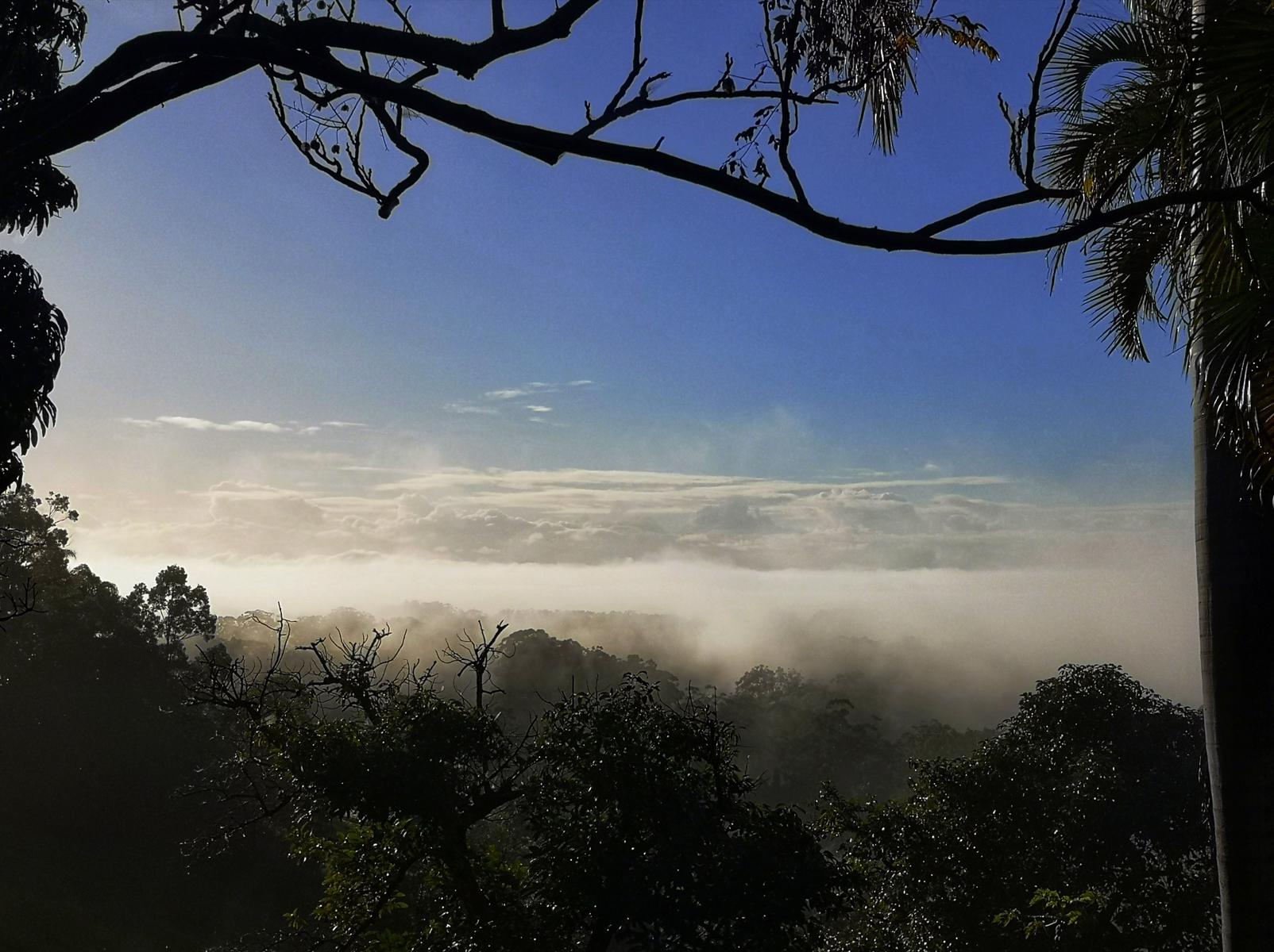
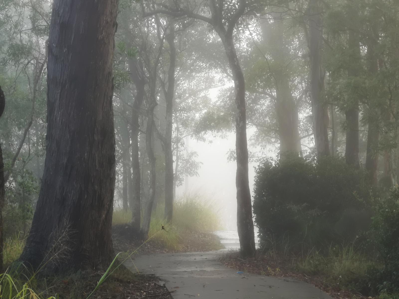
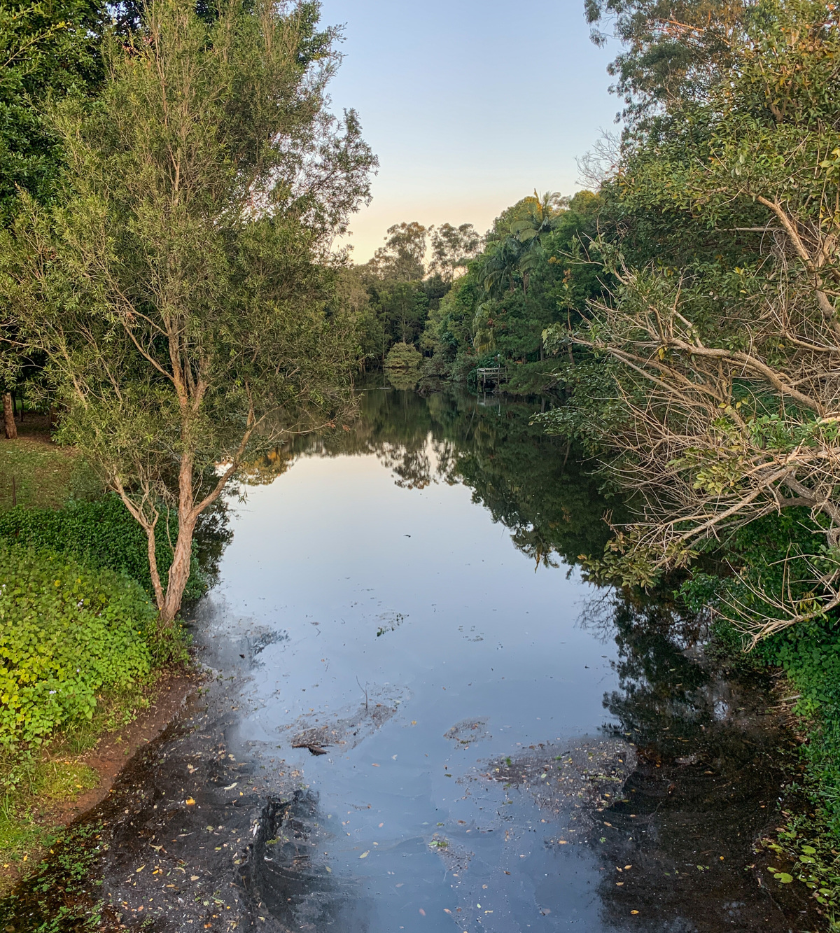
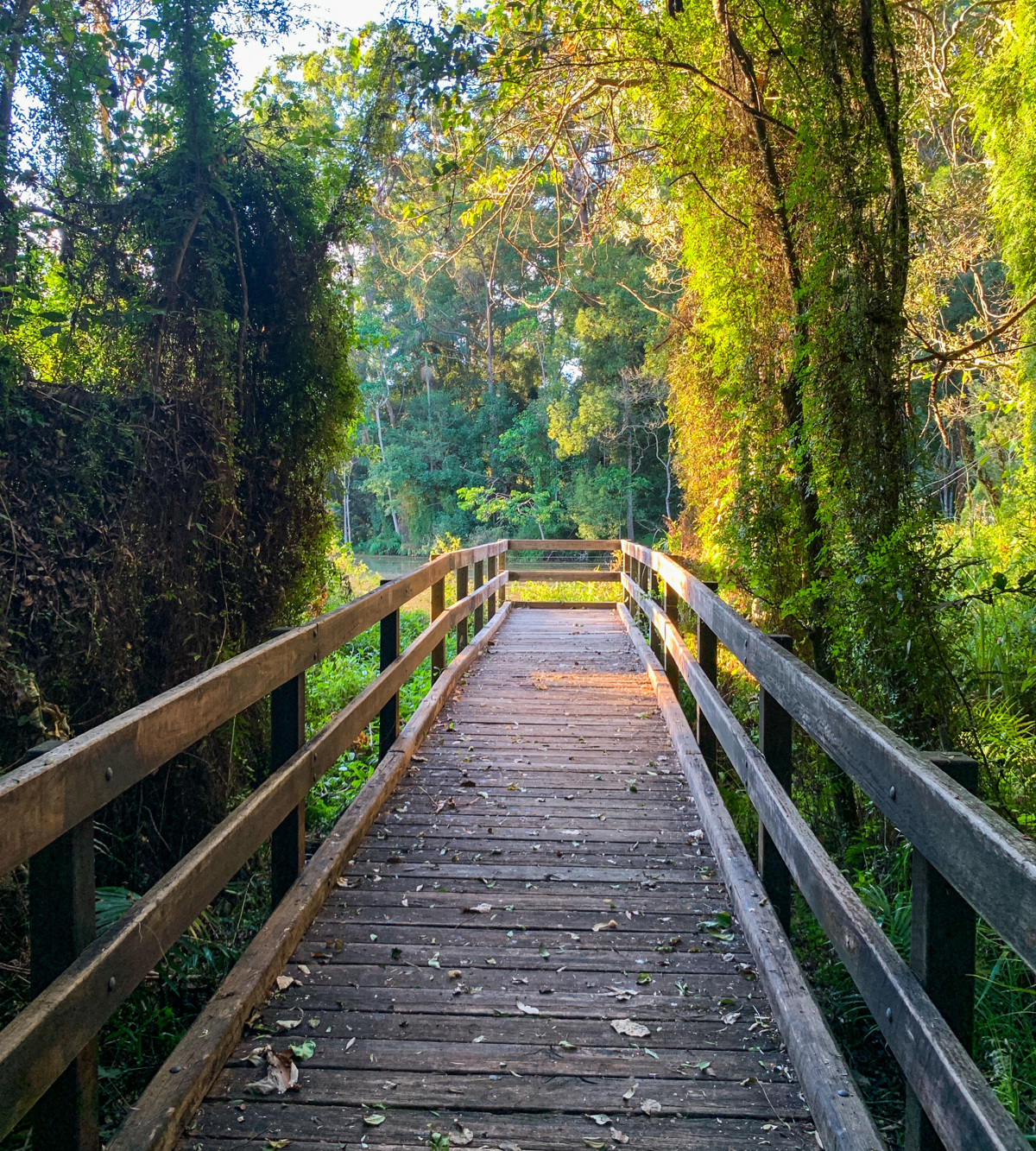
This is a popular recreational ride, walk or run for many locals. Linking the two hinterland townships of Woombye and Palmwoods, the paths provides users with a safe and sealed track. The hilly hinterland stretch makes this a perfect workout for those wishing to increase their fitness levels, or maximise their time exercising. The ride beings and ends in the heart of both towns, providing ample parking, and access to amenities, water and shade. Don’t forget to take in the views of the Blackall Range, which is particularly beautiful late afternoon as the sun is setting. For those who wish to extend the ride, continue following the pathways through Palmwoods and around the township.

AFTERWARDS
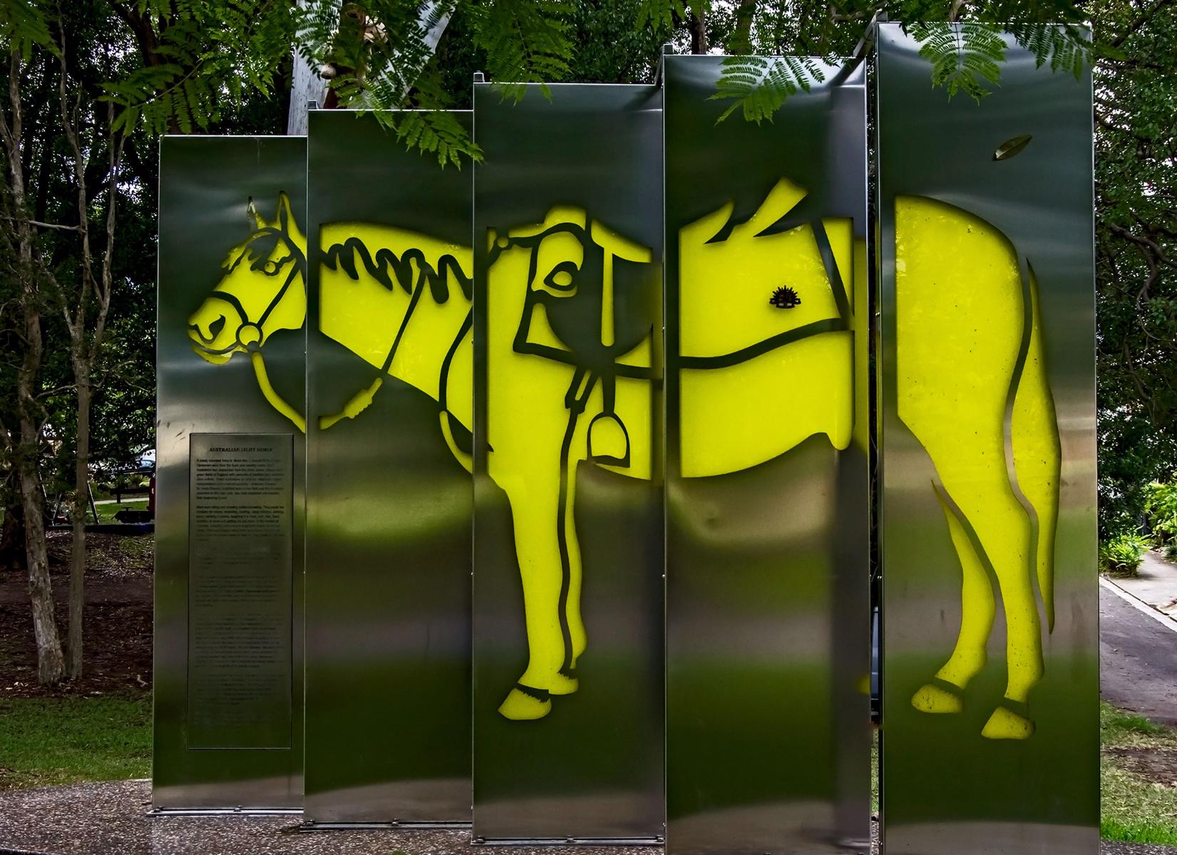
Spend some time in Woombye or Palmwoods and support one of the many local establishments. Both towns are unique in character and offer visitors a warm welcoming experience, including access to several parks such as Piccabeen or Federation Park in Palmwoods, or CWA Park in Woombye. Major regional attractions including the Big Pineapple and Wildlife HQ ore also in short driving distance, as are a few other hinterland towns.

HOW TO GET THERE
To the starting point: The township of Woombye is located off the Bruce Highway, west of Maroochydore. Take the Nambour Connection Road exit off the Bruce Highway, and travel east for approximately 5 minutes before you see the sign to Woombye. Turn left into Blackall Street, the main street of Woombye. The official start point is on the corner of Hill Street, opposite the Woombye School of Arts (centre of town).
To the end point: The end point is the same as the starting point.


glossary button
Glossary
  • Icon showing this activity is suitable for wheelchairsSuitable for wheelchairs
  • Icon showing this activity is suitable for walkingSuitable for walking
  • Icon showing this activity is suitable for recreational cyclingSuitable for recreational cycling
  • Icon showing this activity is suitable for mountain bikingSuitable for mountain biking
  • Icon showing this activity is suitable for horse ridingSuitable for horse riding
  • Icon showing this activity is suitable for kayakingSuitable for kayaking
  • Icon showing this activity has drinking water availableDrinking water available
  • Icon showing this activity does not have drinking water availableNo drinking water available
  • Icon showing this activity has a barbeque on siteBarbeque on site
  • Icon showing this activity has a picnic table on sitePicnic table on site
  • Icon showing this activity has toilets on siteToilets on site
  • Icon showing fires are permitted at this activityFires permitted
  • Icon showing fires are prohibited at this activityFires prohibited
  • Icon showing camping is permitted at this activityCamping permitted
  • Icon showing camping is prohibited at this activityCamping prohibited
  • Suitable for walking Suitable for walking black lines Suitable for walking
  • Suitable for recreational cycling Suitable for recreational cycling Suitable for recreational cycling
  • Drinking water available Drinking water available Drinking water available
  • barbeque on site barbeque on site Barbeque on site
  • Picnic table on site Picnic table on site Picnic table on site
  • toilets on site toilets on site Toilets on site
  • Fires prohibited Fires prohibited Fires prohibited
  • Camping prohibited Camping prohibited Camping prohibited
Write a review

Review Date: 27/09/2020

Good walk from Woombye to Palmwoods. Yummy brekky at The Cocoa Tree before return walk back to Woombye. We did initially start down by railway track thinking path followed but found our way to path that virtually runs parallel to Nambour Connection Road. 😄

Reviewed By: Catherine

Review Date: 09/08/2020

We parked in Woombye and made it about half way before turning back. It was a bit too hilly for my 5yr old twins on their bikes, and imagine it would be tough if pushing a pram. A nice walk (what we saw of it, anyway!), but maybe best suited to older kids if using bikes.

Reviewed By: Kate

hazard icon

IN AN EMERGENCY DIAL '000'.

Always Adventure Safely!

  • Always follow any local signage, it contains key information and conditions can change at any time.
  • Use the trails with consideration for your abilities, be prepared for the adventure ahead:
    • Be aware of the weather conditions, found here: http://www.bom.gov.au/qld/.
    • Always wear appropriate clothing, focus on good footwear.
    • Always bring more water than you think you will need.
    • Be Sun Safe!
    • Always let someone know where you are going that isn’t going with you.
  • Just getting started try this site for good useful information: https://www.trailhiking.com.au/hike-safety/
  • Sunshine Coast Council does it’s best to maintain current information but things can change so always be aware that a trail may not be as listed in this guide, and report and issues via our feedback link.

Sunshine Coast Council

For any issues with this experience please contact:

Sunshine Coast Council via 07 5475 7272 or via e-mail: adventure@sunshinecoast.qld.gov.au

Nearby Trails

Trail Image for Road Cycle Route: SCC Big Loop
Difficult

Road Cycle Route: SCC Big Loop

Alexandra Headland
walking icon cycling icon
Trail type
difficulty icon
Skill Level

180.6km

Length
direction icon
Circuit
Trail Image for Woombye Town Walk
Easy

Woombye Town Walk

Woombye
walking icon cycling icon
Trail type
difficulty icon
Skill Level

4.1km

Length
direction icon
Circuit
Trail Image for Palmwoods Town Walk
Easy

Palmwoods Town Walk

Palmwoods
walking icon cycling icon
Trail type
difficulty icon
Skill Level

2.0km

Length
direction icon
One-way
Trail Image for Kolora Park & Bushland Conservation Reserve
Easy

Kolora Park & Bushland Conservation Reserve

Palmwoods
walking icon
Trail type
difficulty icon
Skill Level

0.5km

Length
direction icon
Circuit
Trail Image for Road Cycle Route: Buderim Local Loop
Difficult

Road Cycle Route: Buderim Local Loop

Buderim
walking icon cycling icon
Trail type
difficulty icon
Skill Level

37.4km

Length
direction icon
One-way

Share this trail

This action requires a login.
To continue, click on Login/Signup below.

Photo uploaded successfully, thank you.

Feedback / Suggest an Adventure

If you have any feedback on the site or any of the trails, please drop us a short email.

Have we missed something? Do you have an adventure to suggest? Fill in the suggestion form to let us know about it.